
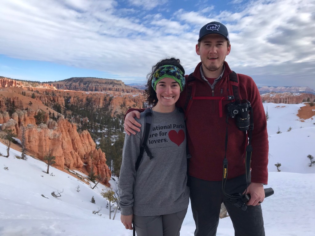
We planned our trip to Bryce not realizing it was Valentine’s Day, but I suppose it worked out well just the same. After leaving work early and driving 4 hours southwest to Bryce, we’re both now back at it, working because we apparently can’t get enough. #workaholics is a real thing.
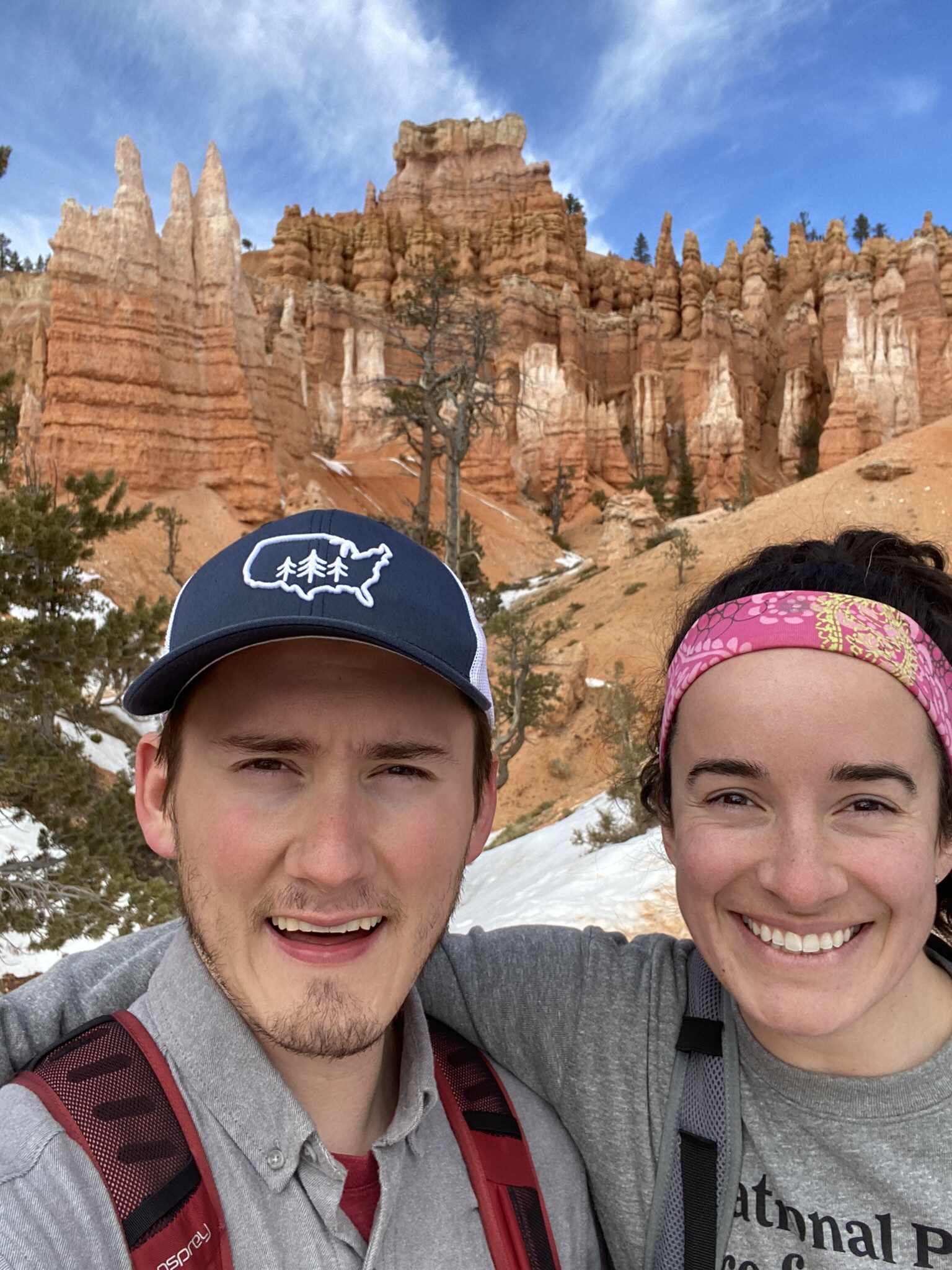
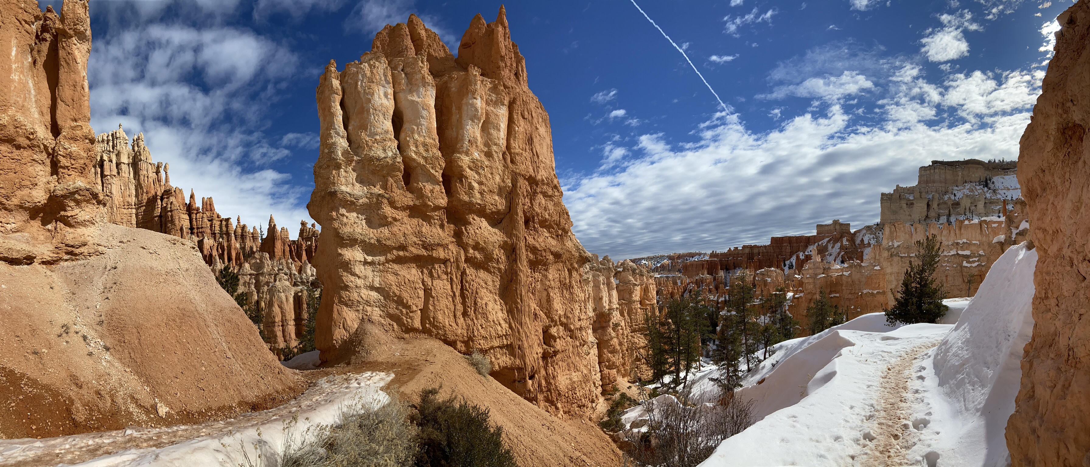
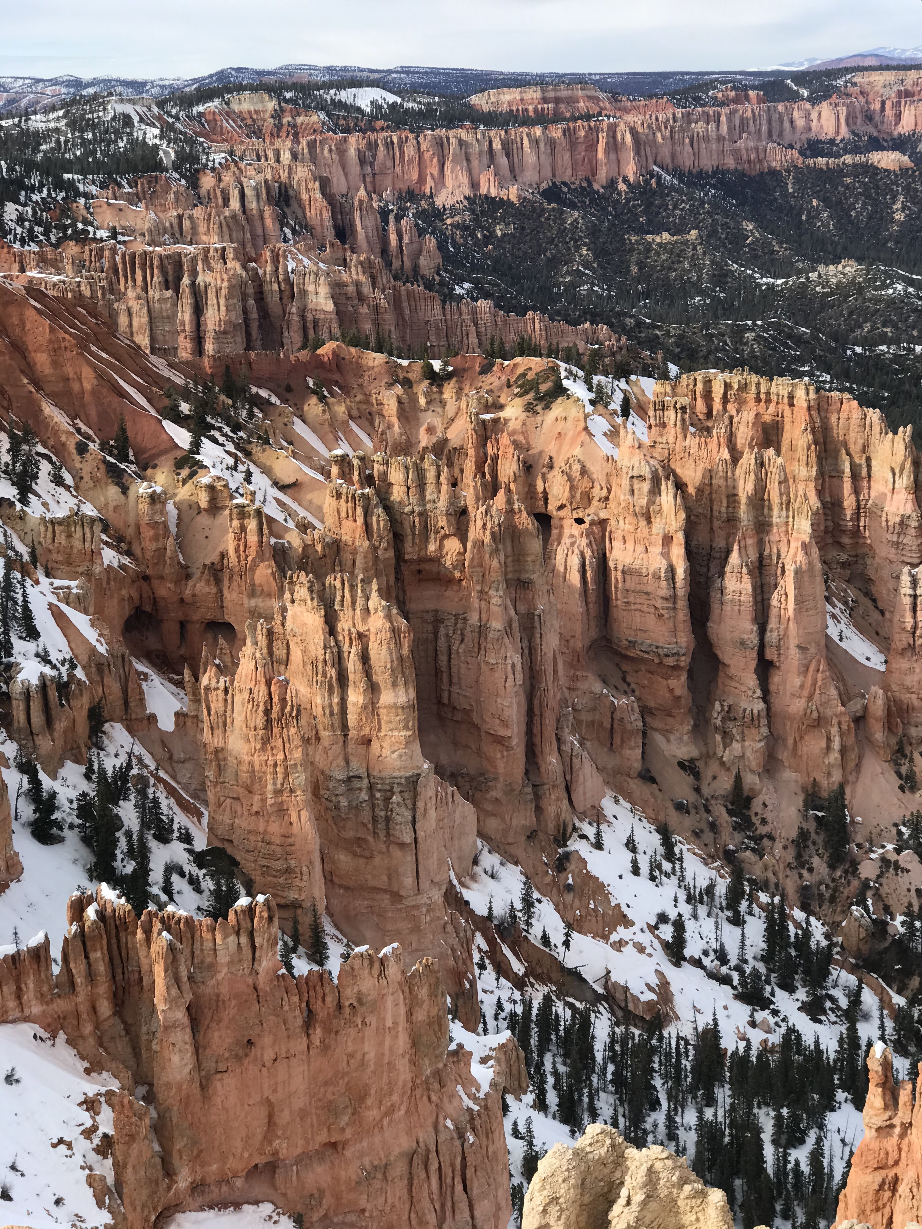
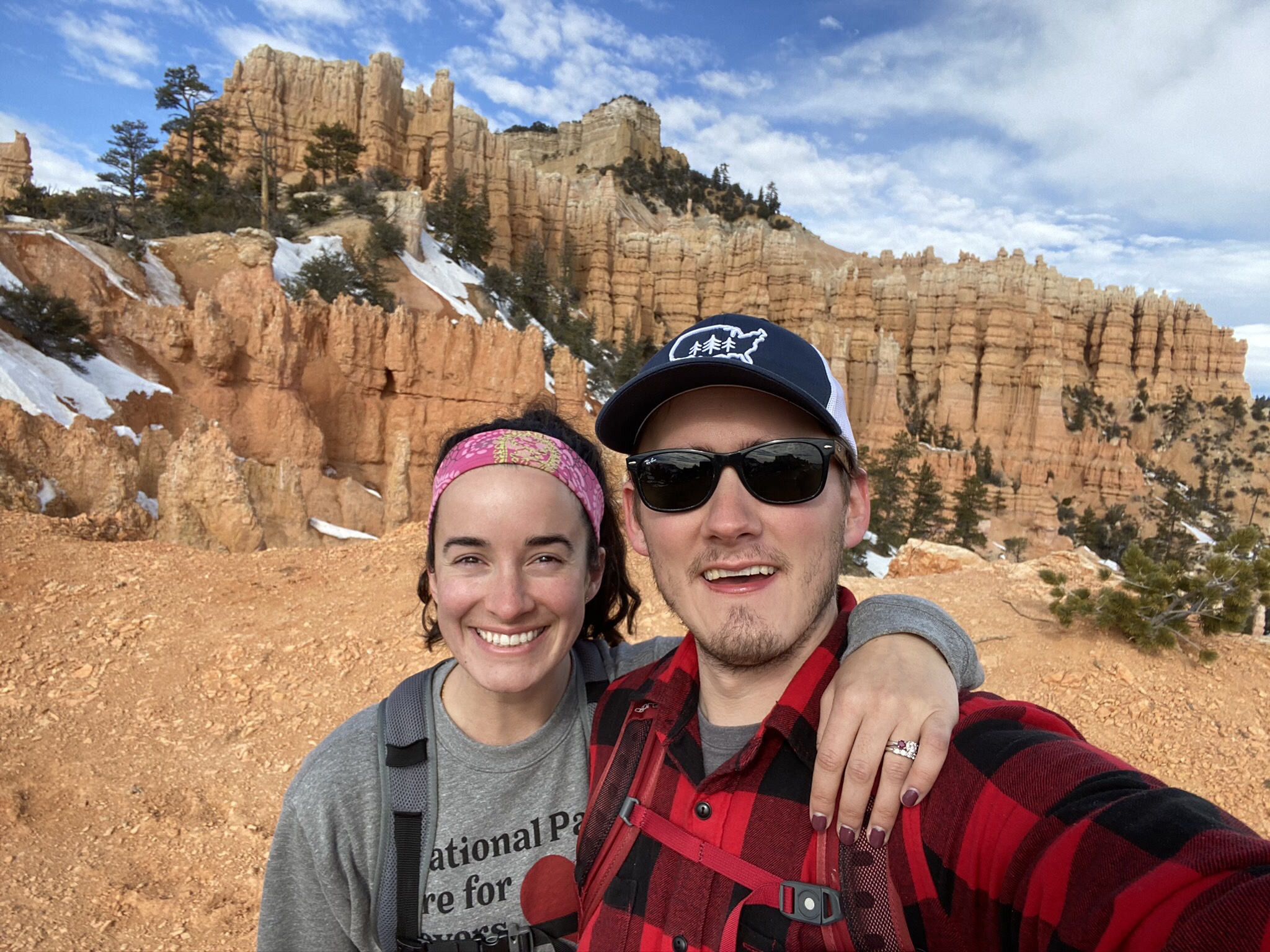
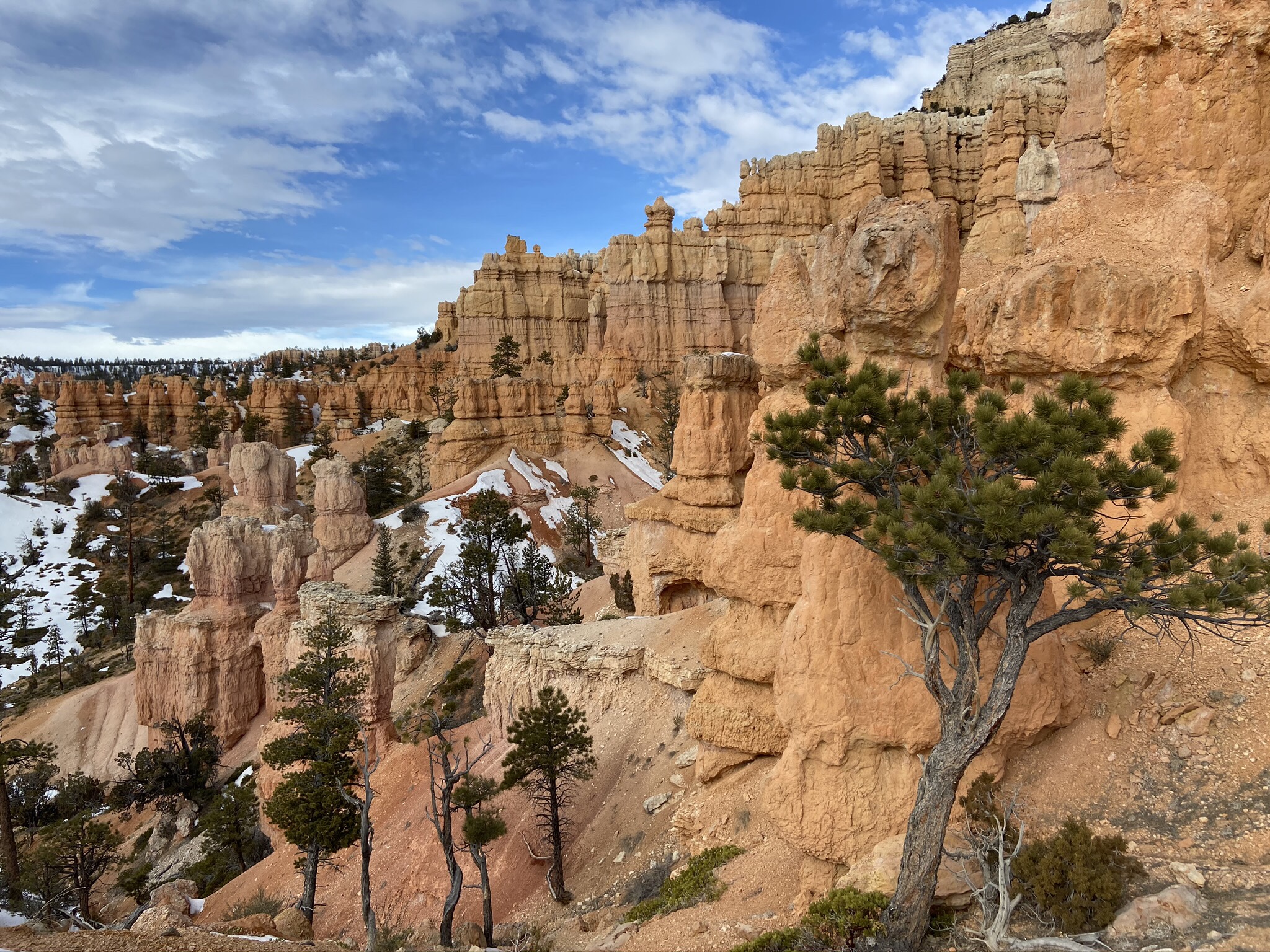
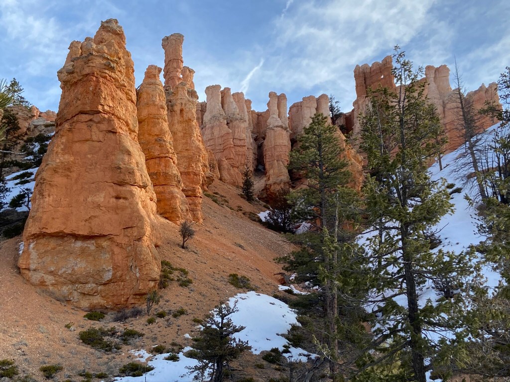
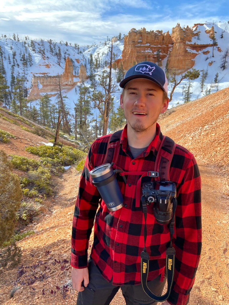
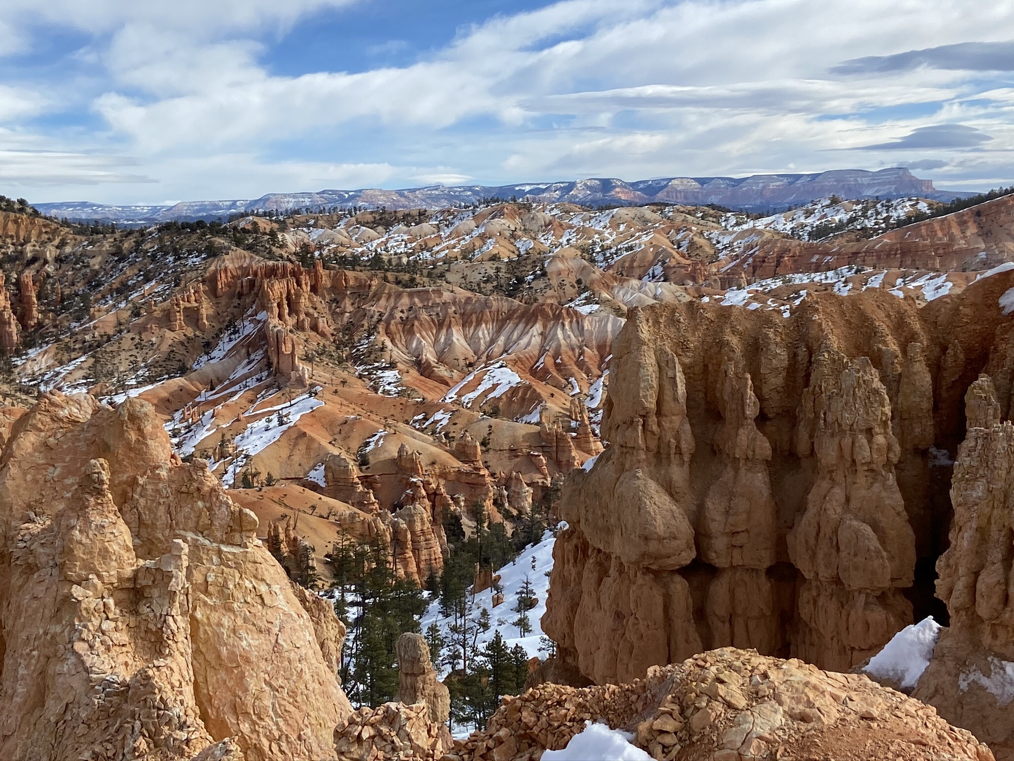
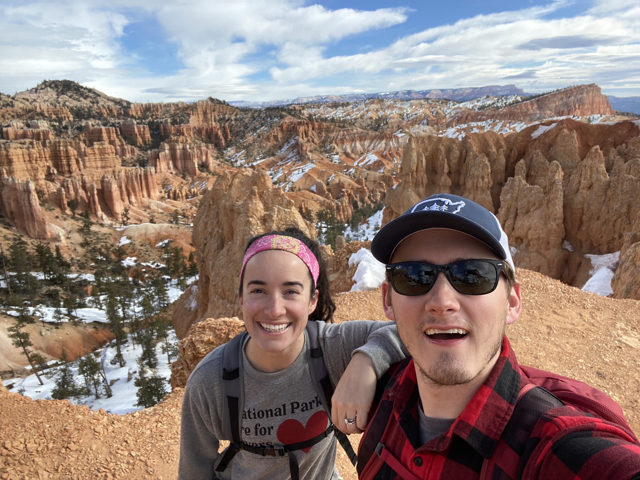
The Manfriend has been to Bryce before, but I haven’t. He’s talked about the hoodoos for YEARS, and I was pumped to finally get to see them. They lived up to every expectation I had of them. Fair warning – I couldn’t stop taking pictures of them.
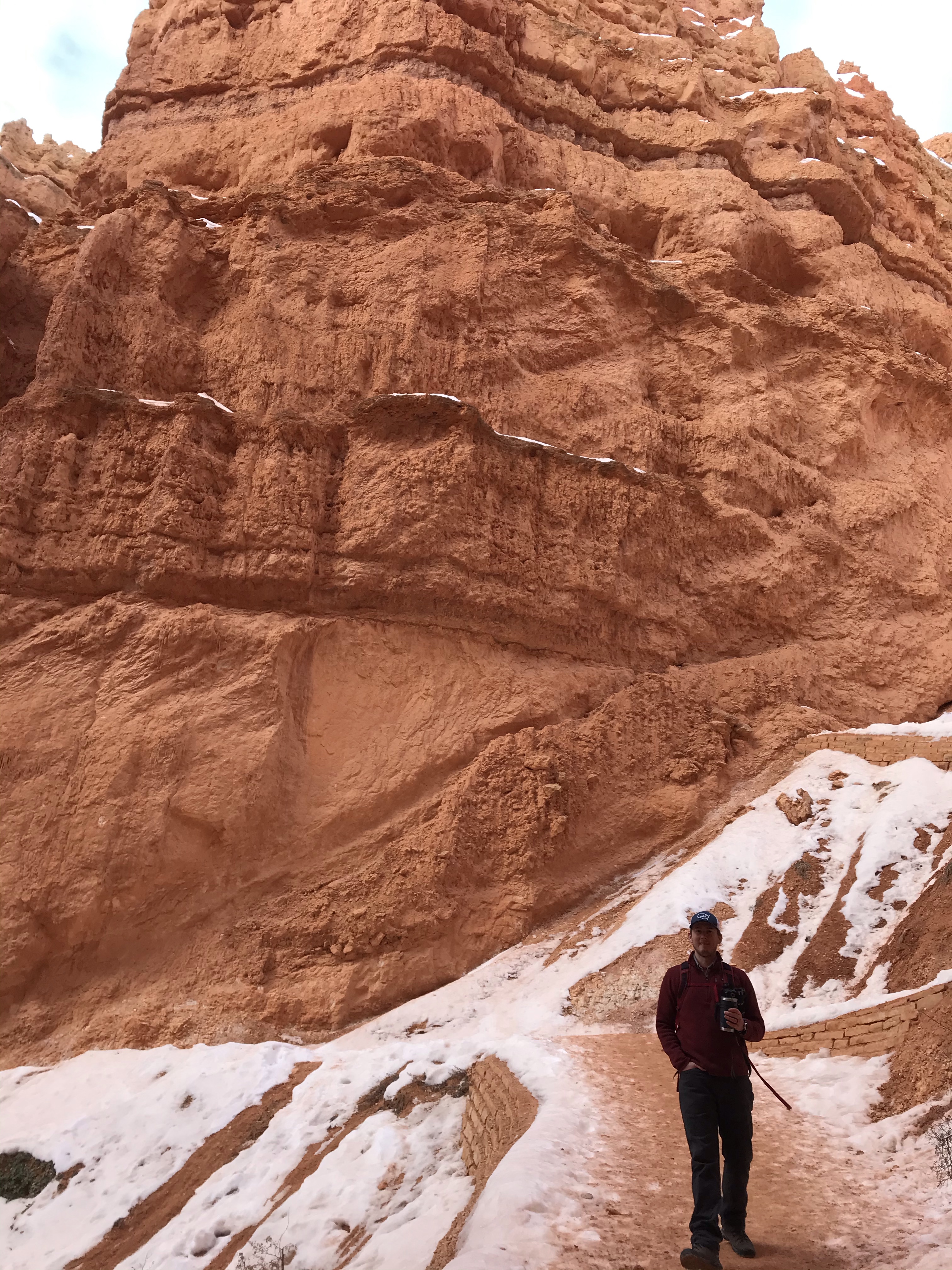
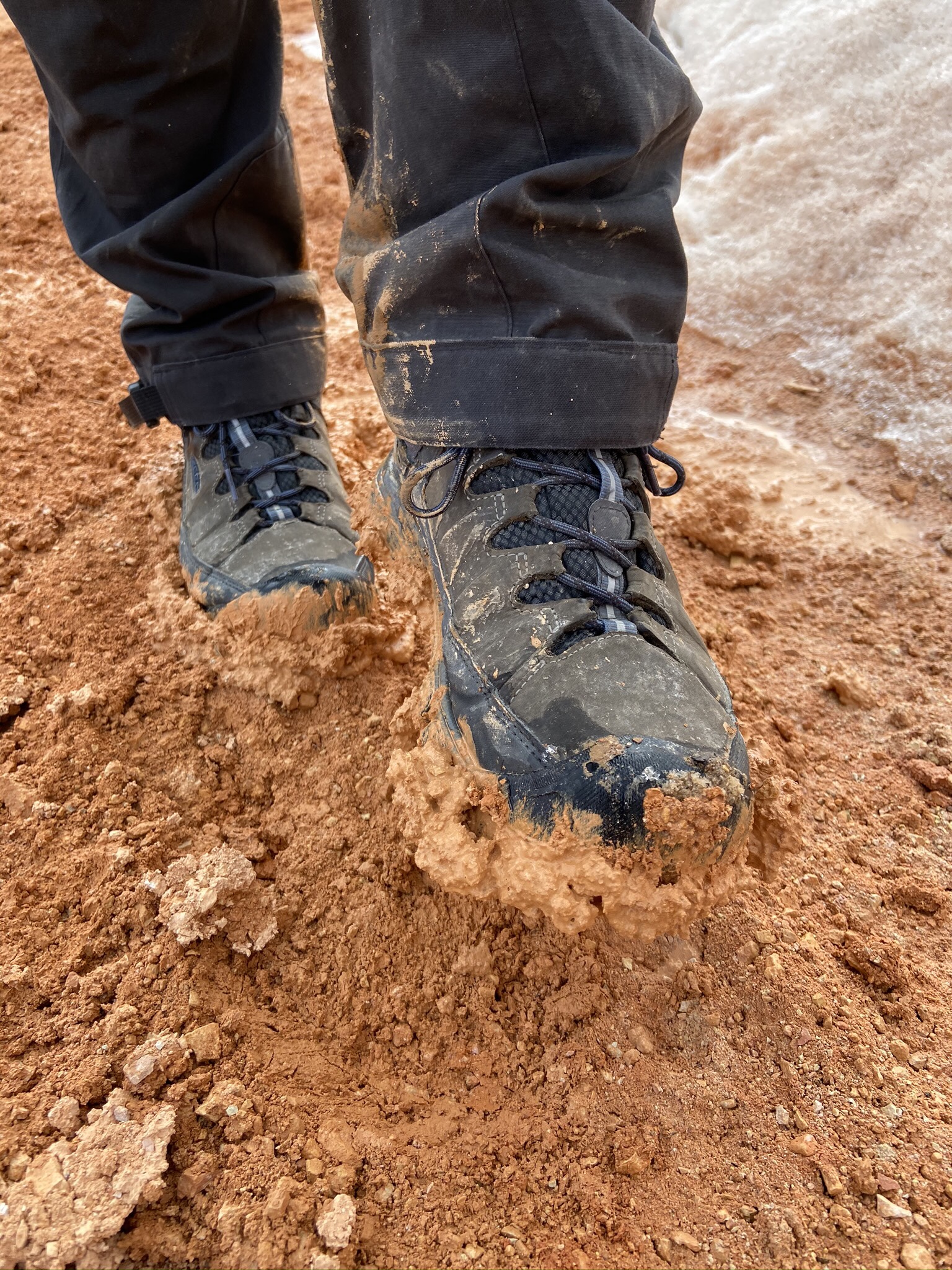
We figured we could do one bigger hike each day, and then some smaller hikes after if we felt up to it. We brought our YakTraks, and while it wasn’t as slippery as Arches (with all of that ice!) we were glad we brought them to hike along the thin trail pathways.
Day 1
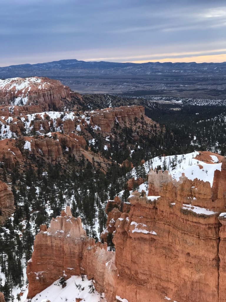
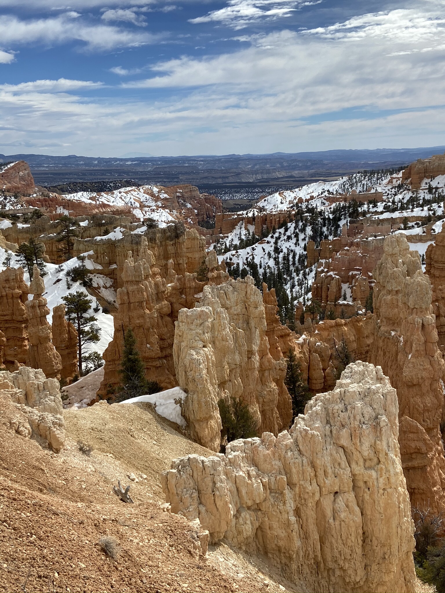
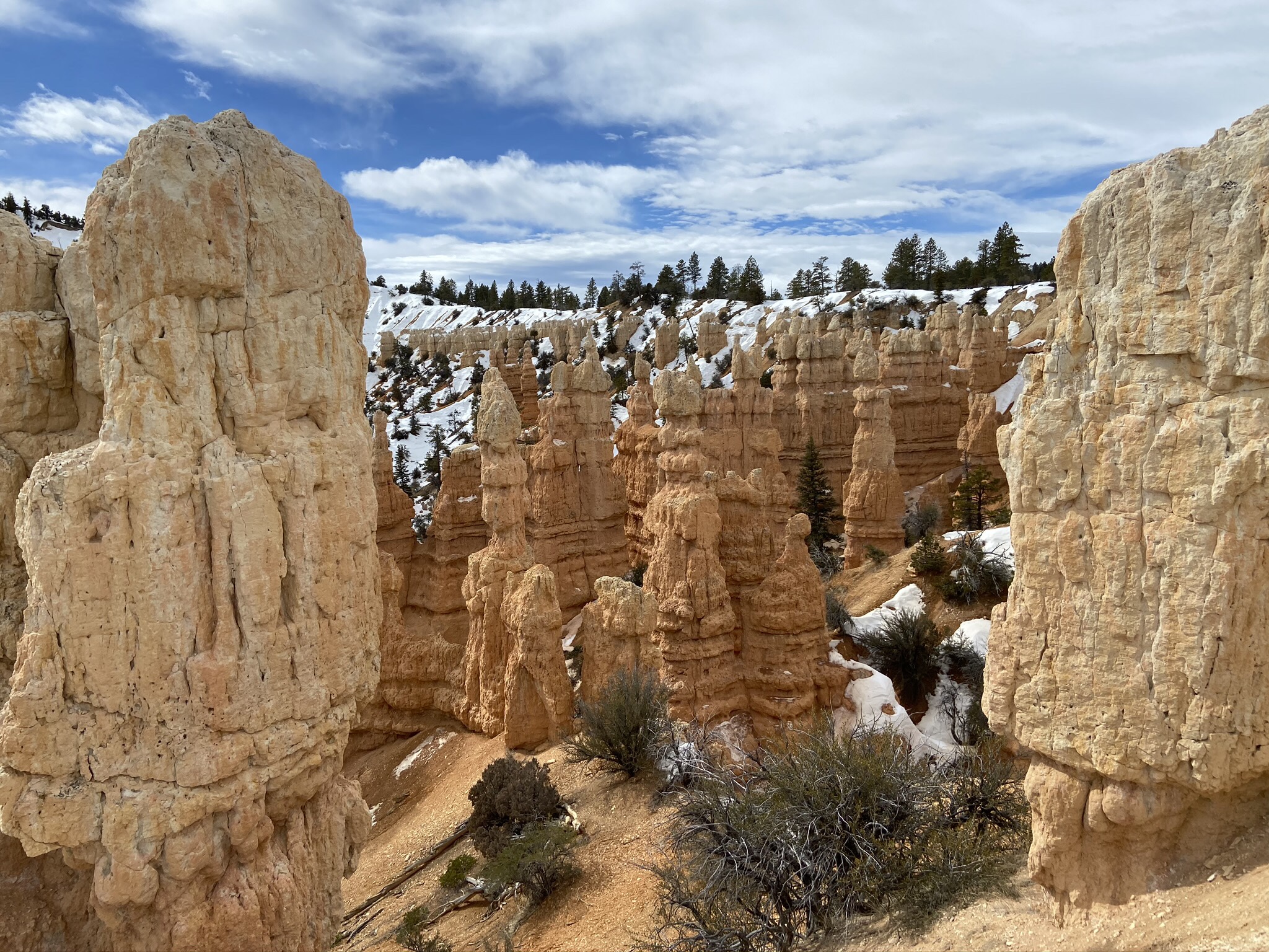
Sunset Point > Navajo Trail > Peekaboo Trail > Queen Victoria Garden Loop > Sunrise Point > Sunset Point
6.1 miles & 1,545 ft in elevation gain, we took 5 hours to do this hike, mostly because there were SO MANY HOODOOS to look at… and take pictures of.
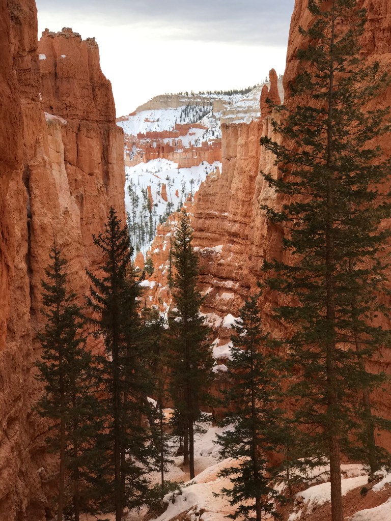
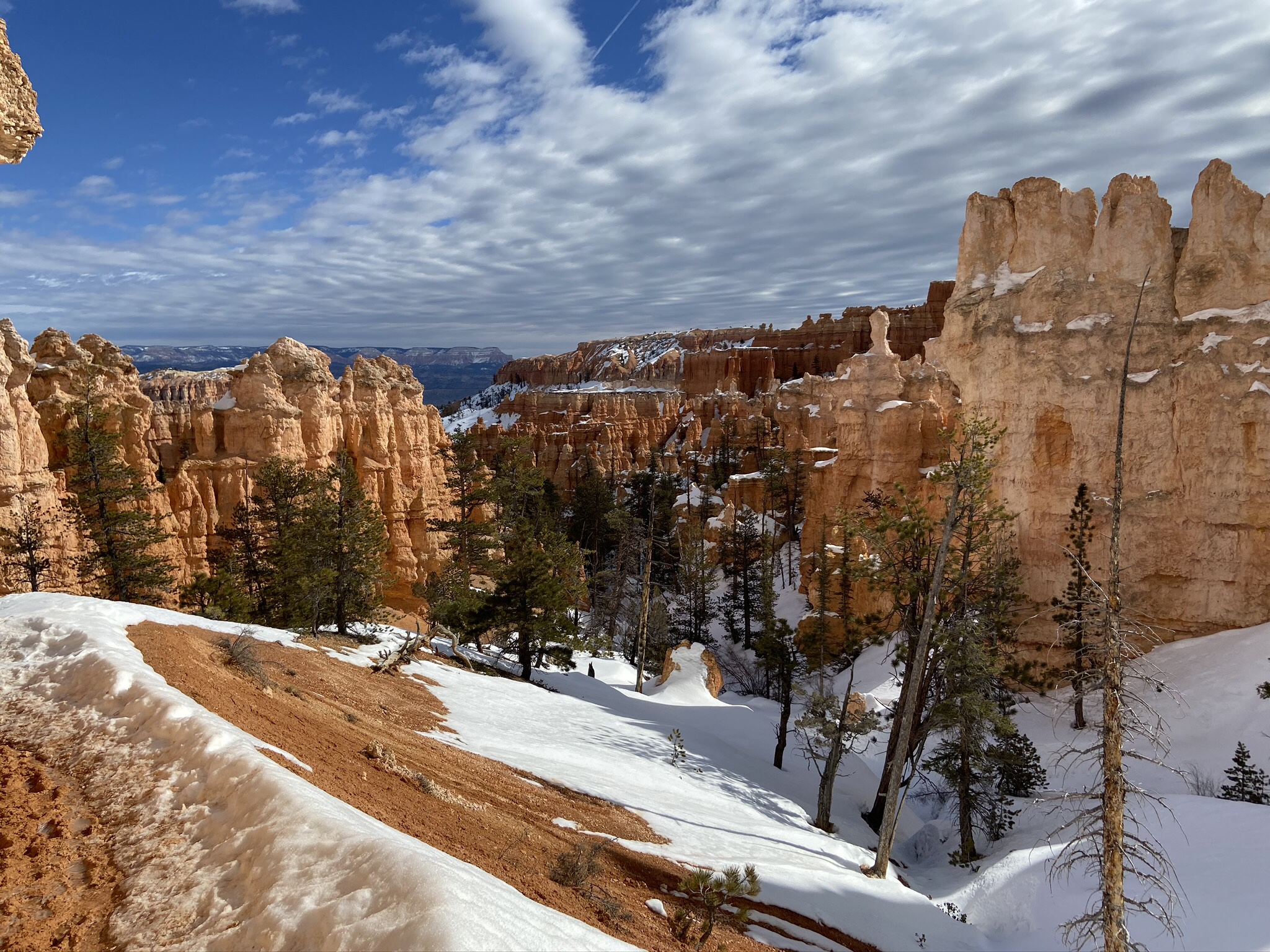
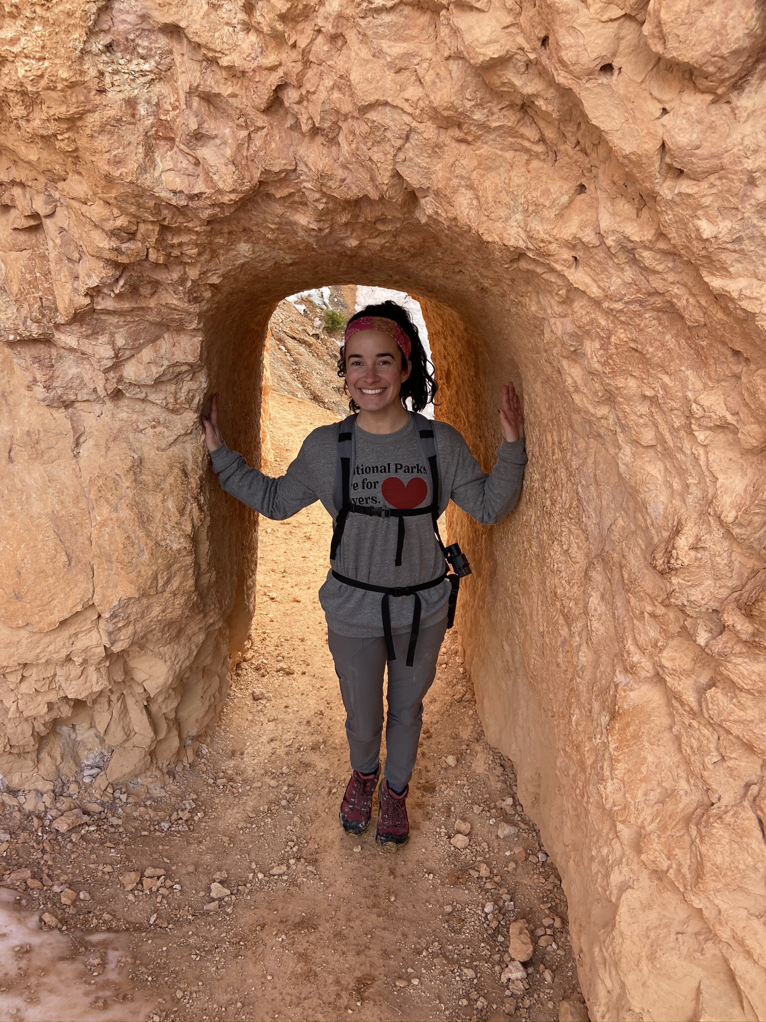
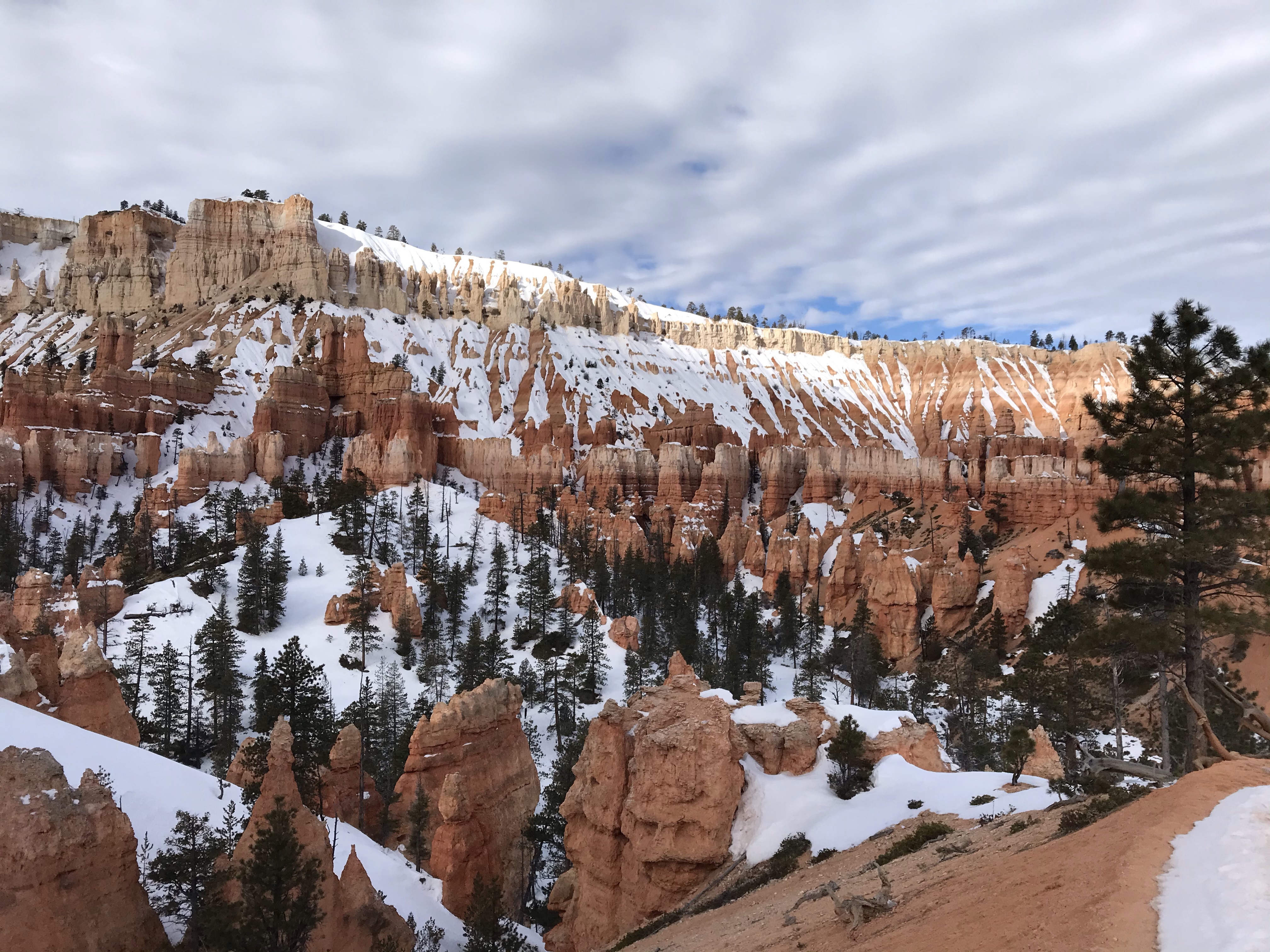
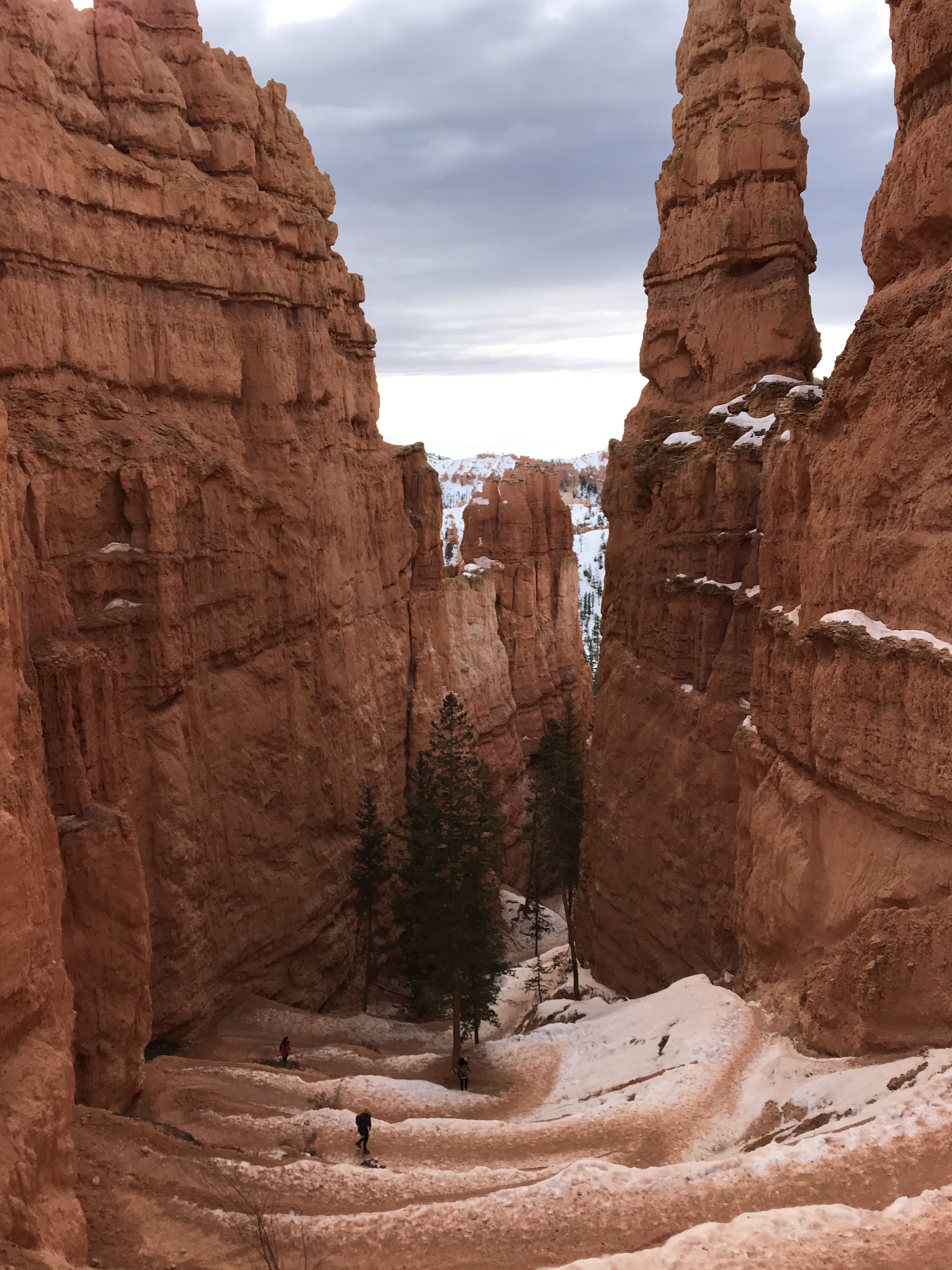
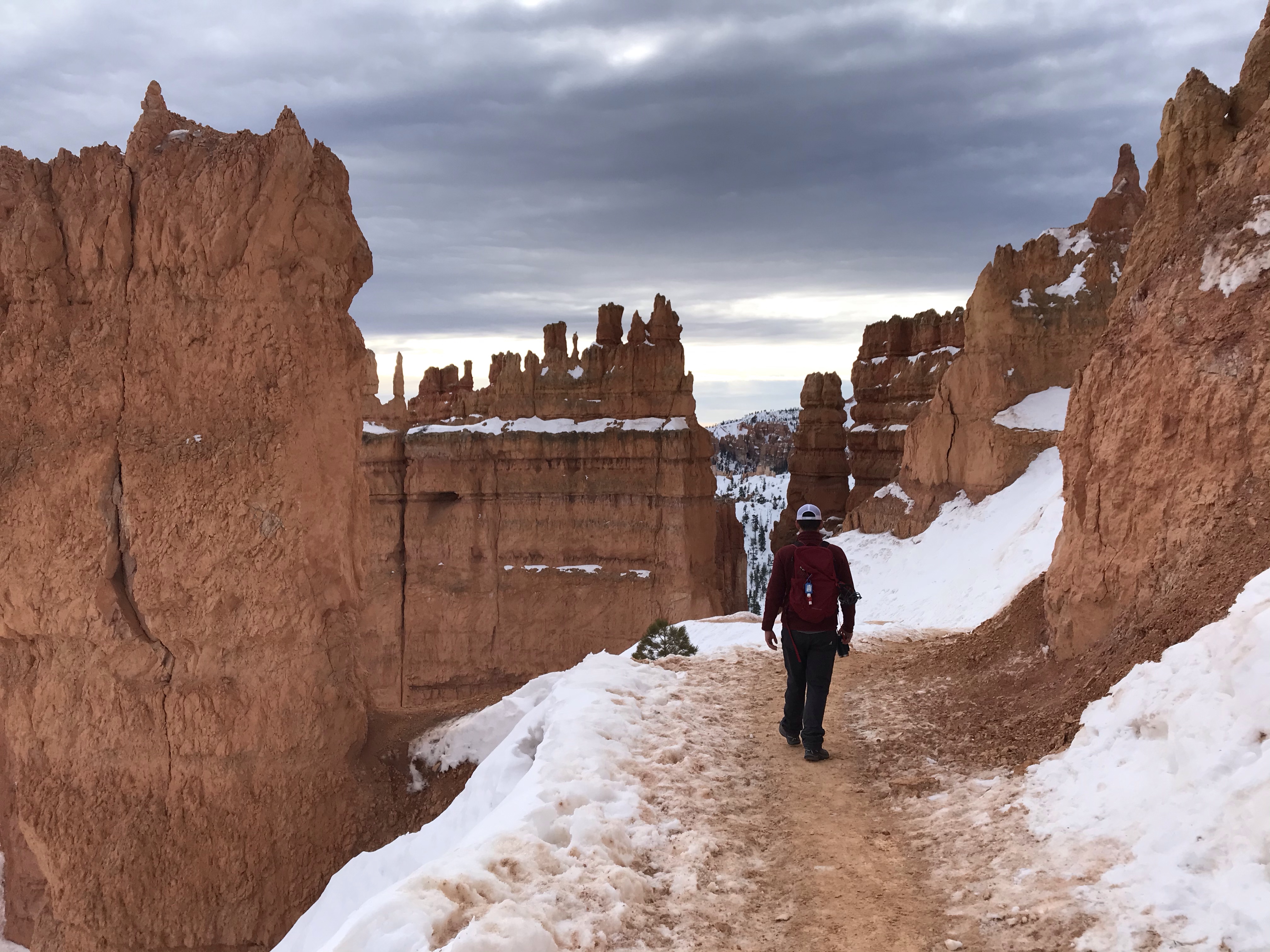
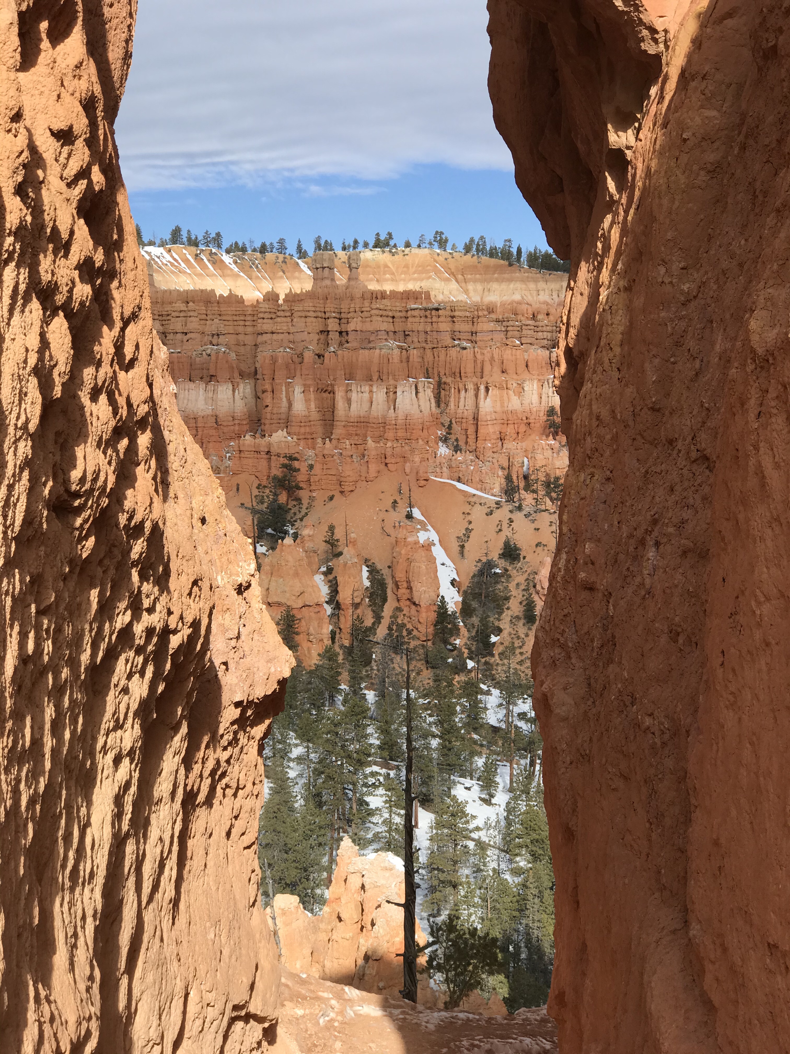
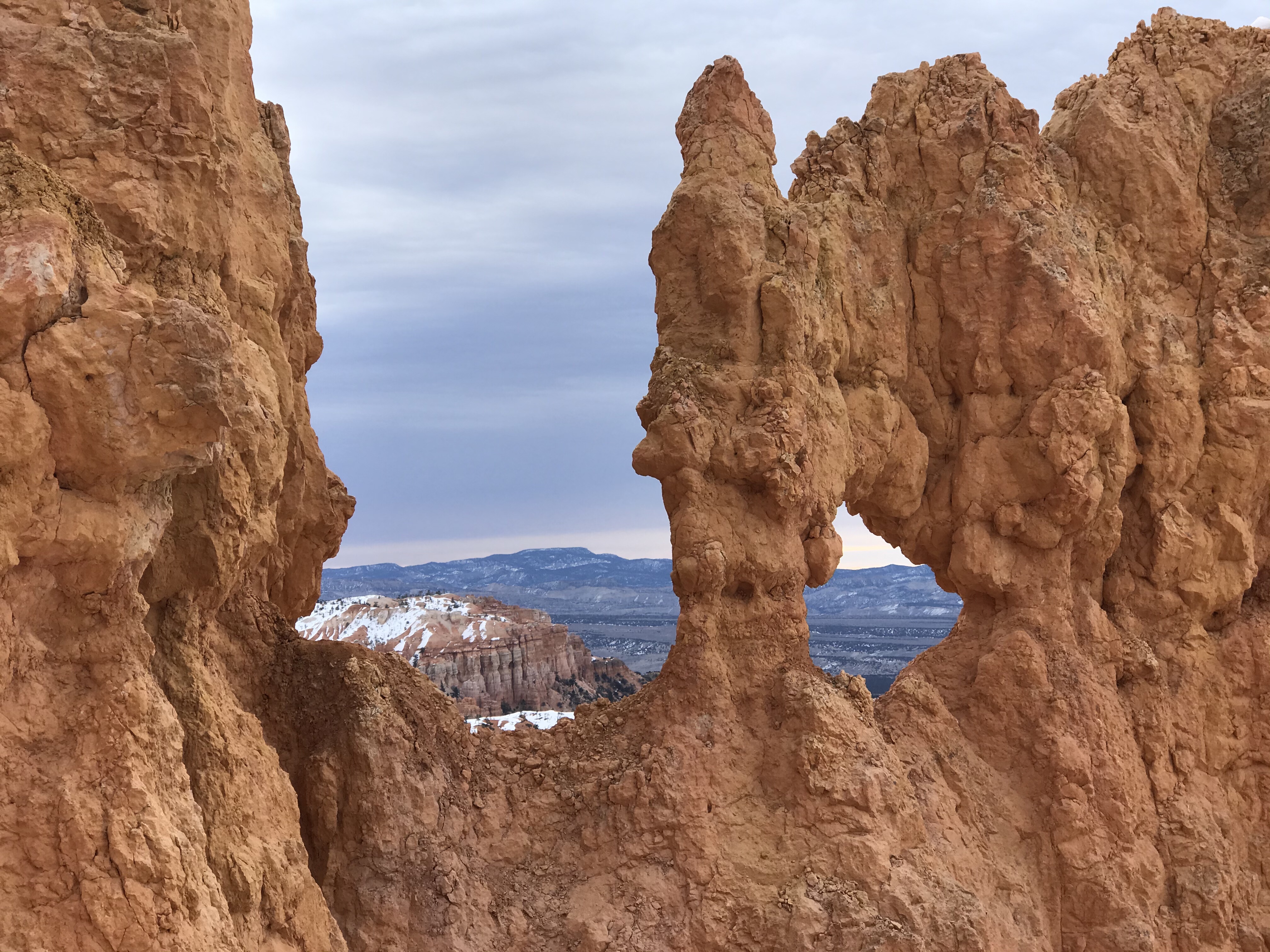
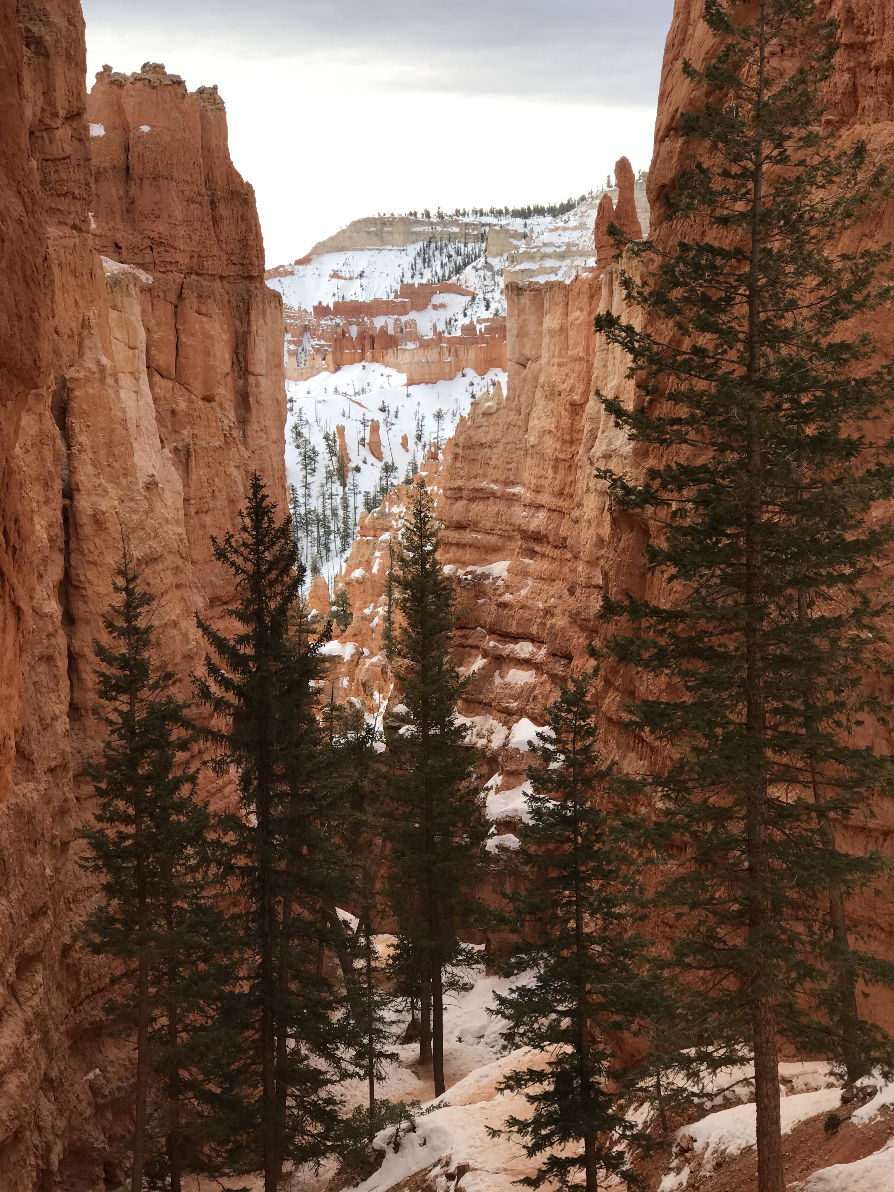
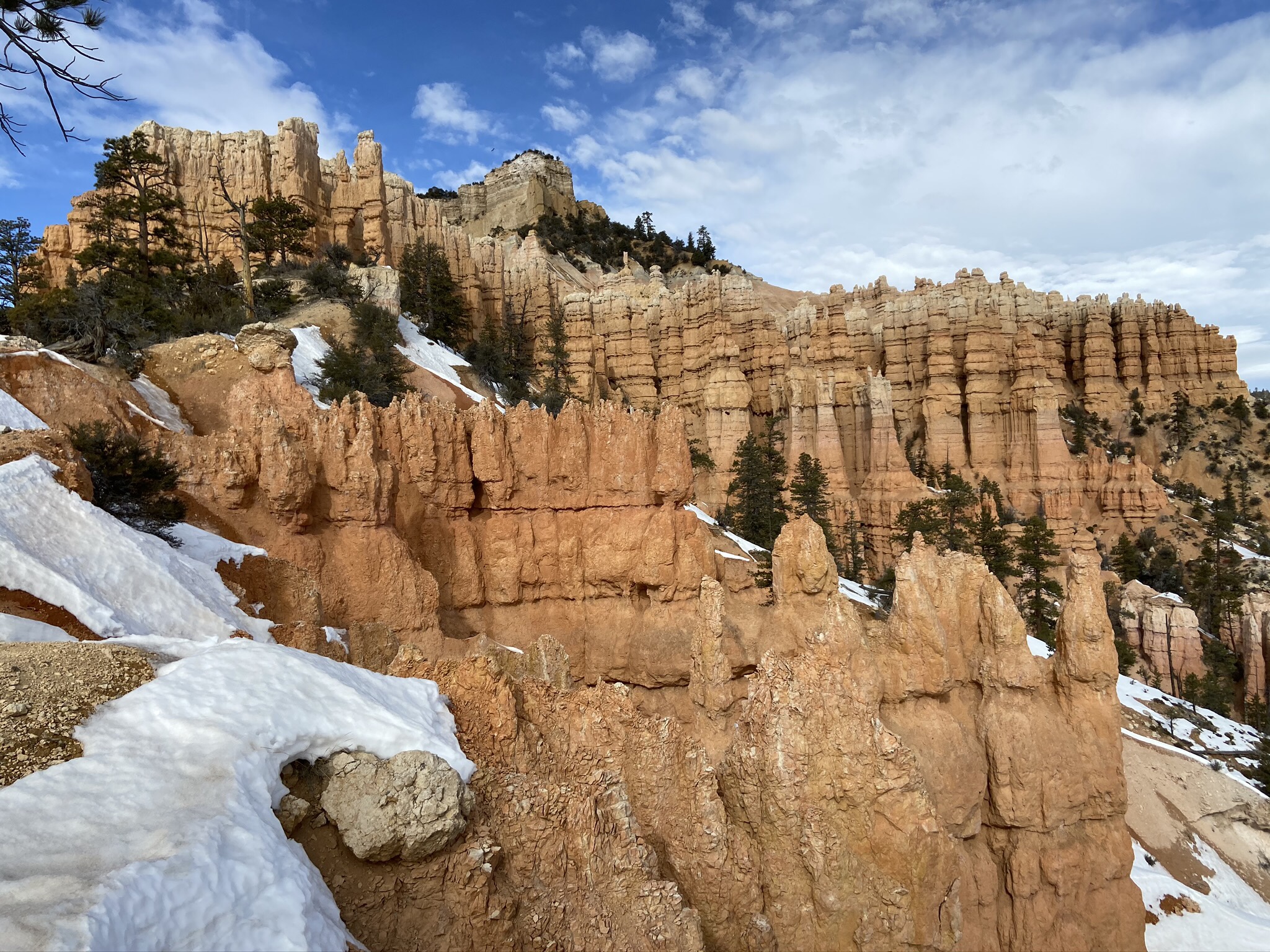
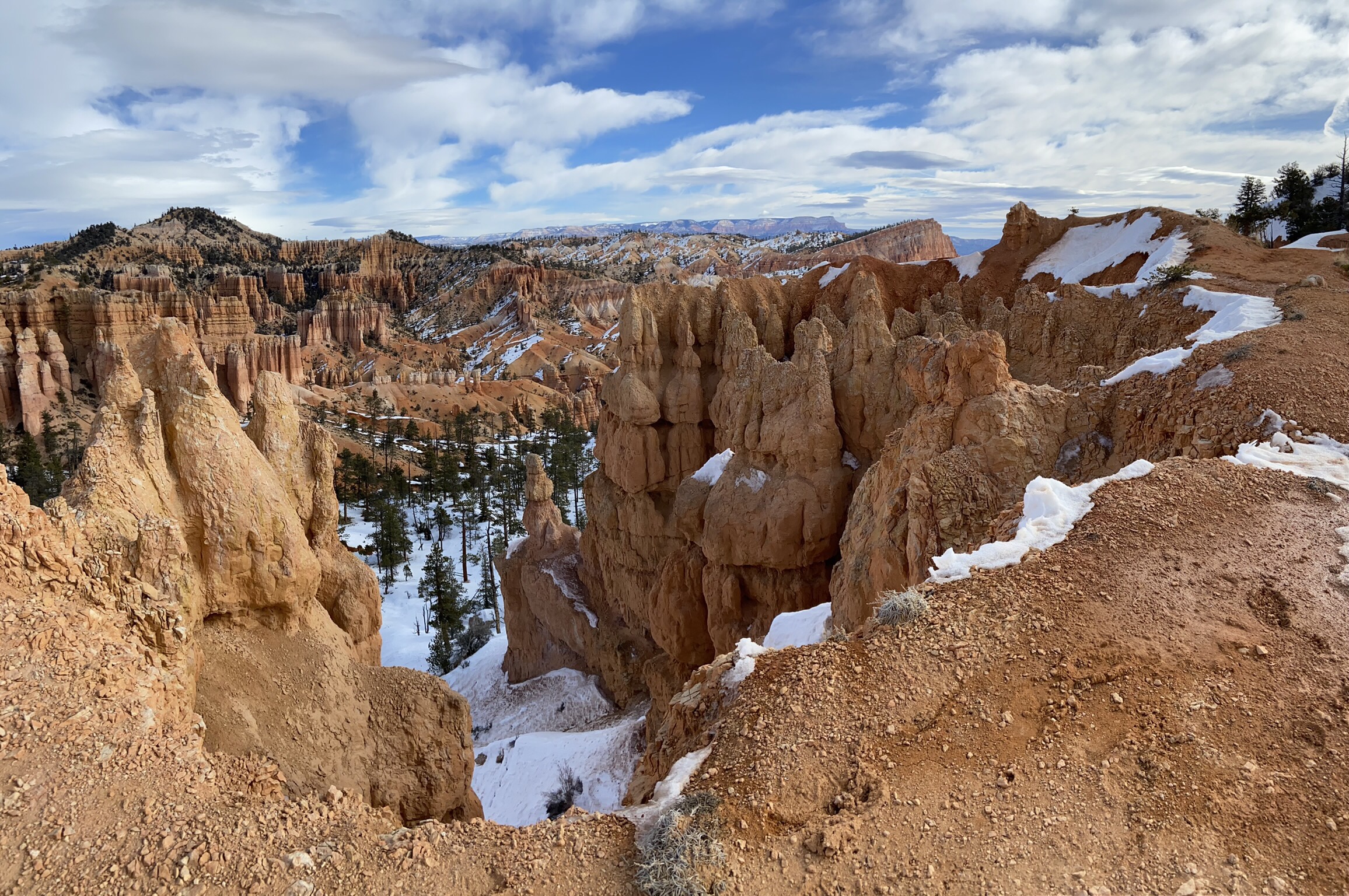
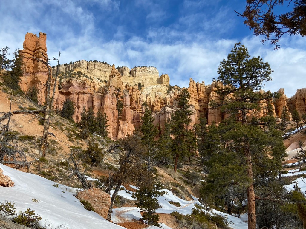
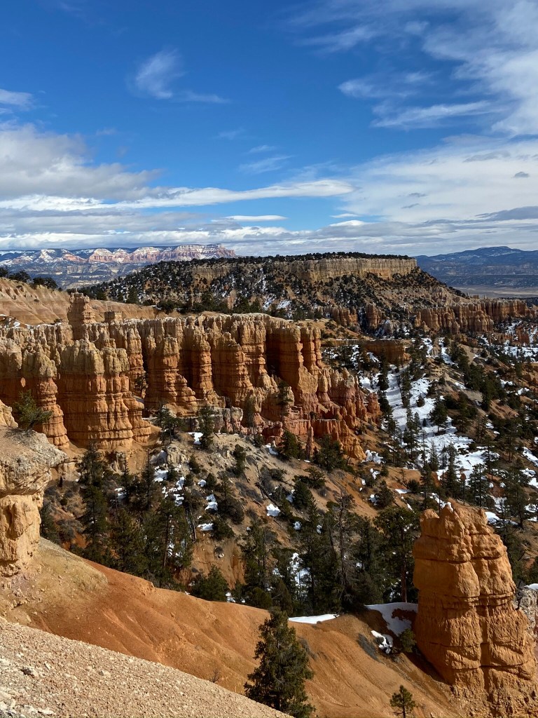
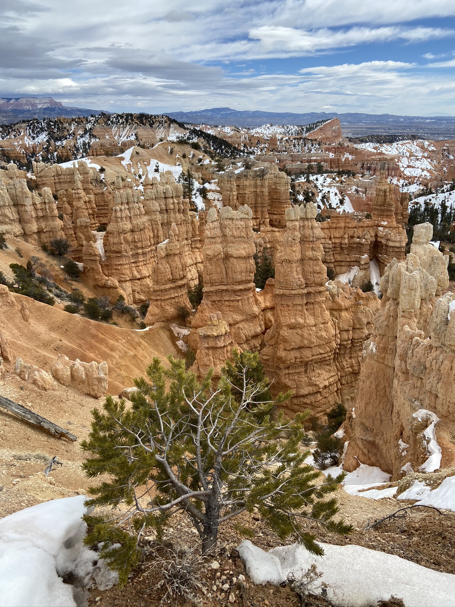
It makes sense why they call it Peekaboo Loop Trail – around every winding corner there were unbelievable hoodoos, and we couldn’t get enough.
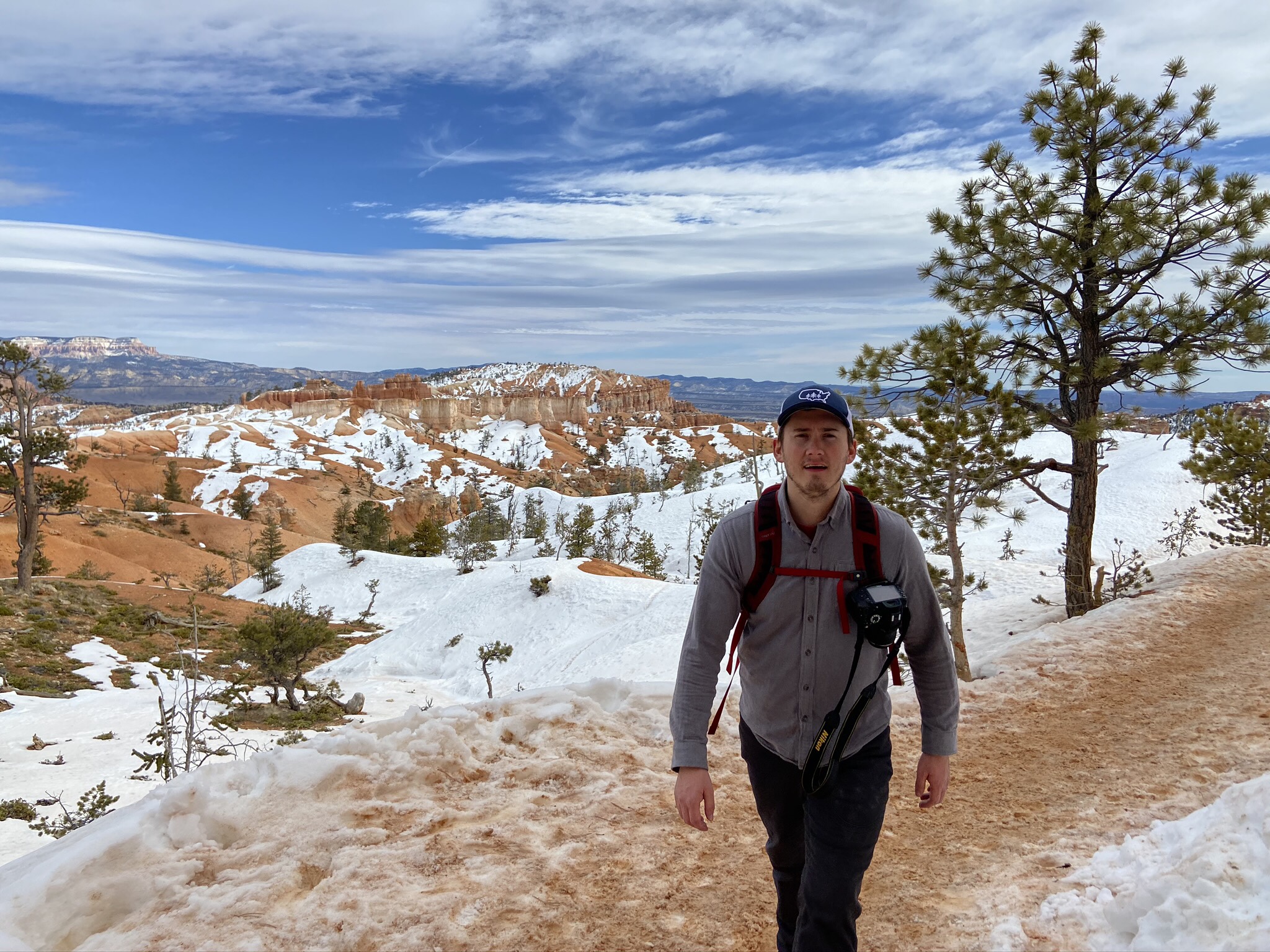
This trail wasn’t strenuous or extremely steep, but it was hard before of the packed snow under our feet, and knee deep powder just inches away that, when we weren’t paying attention, we’d sink down into.
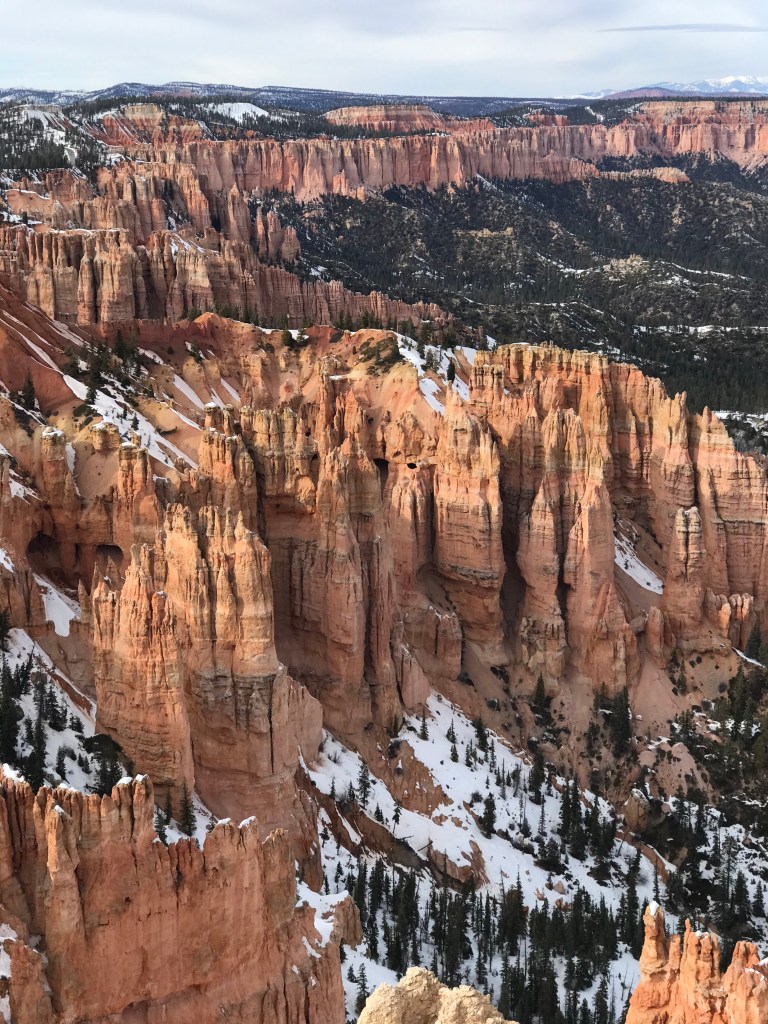
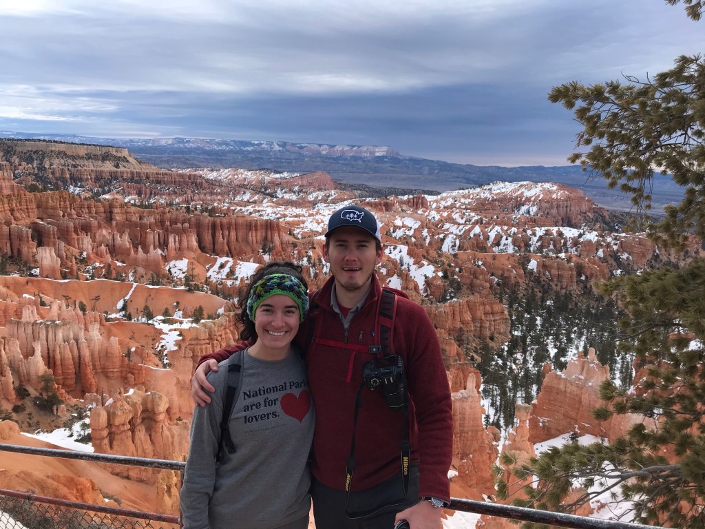
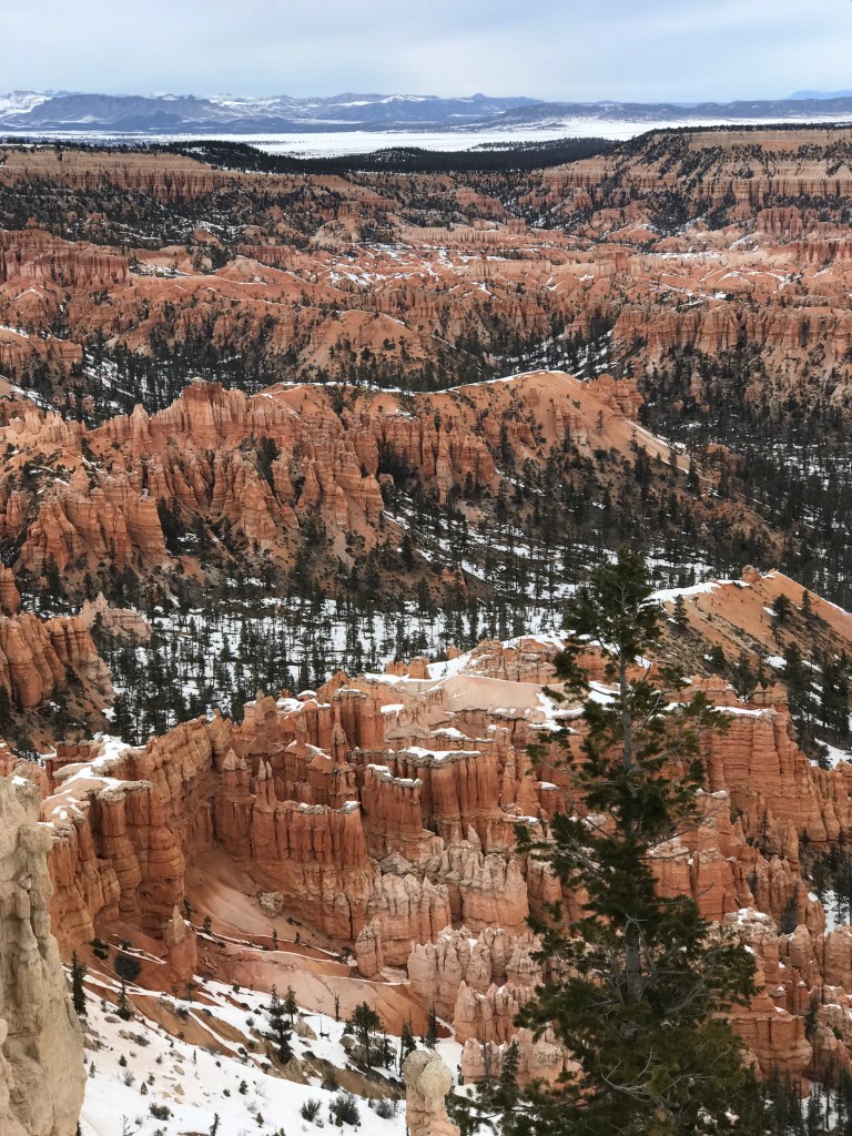
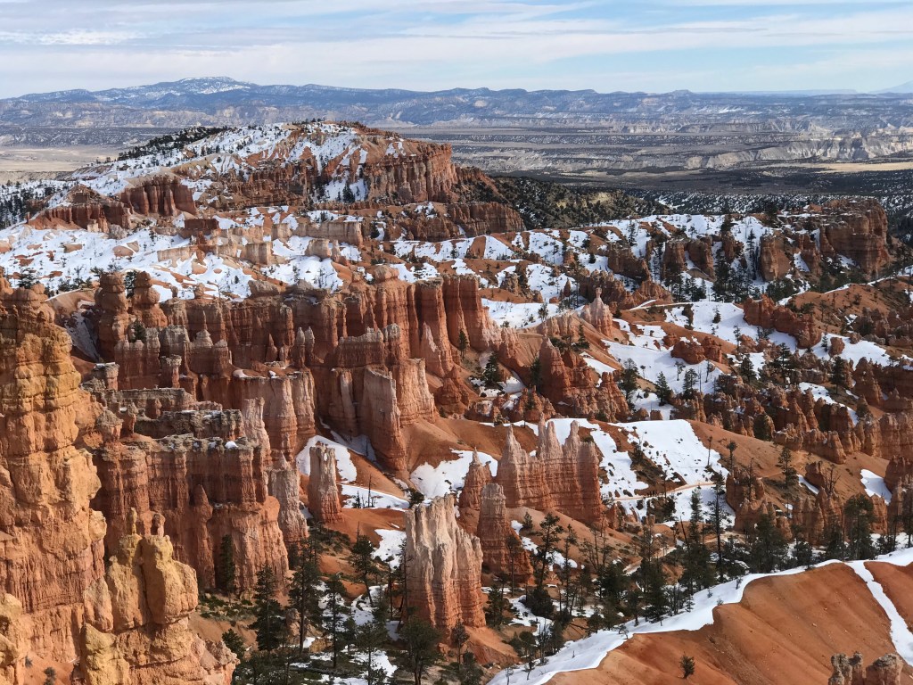
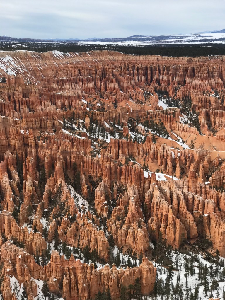
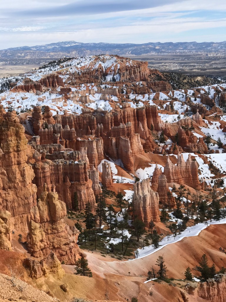
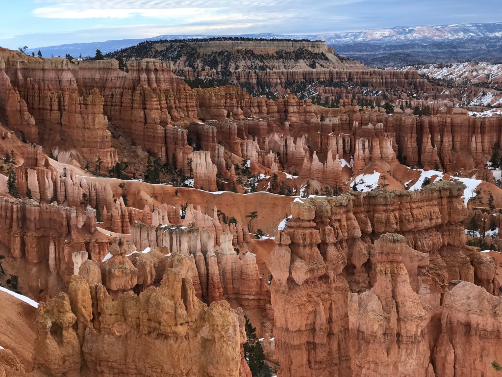
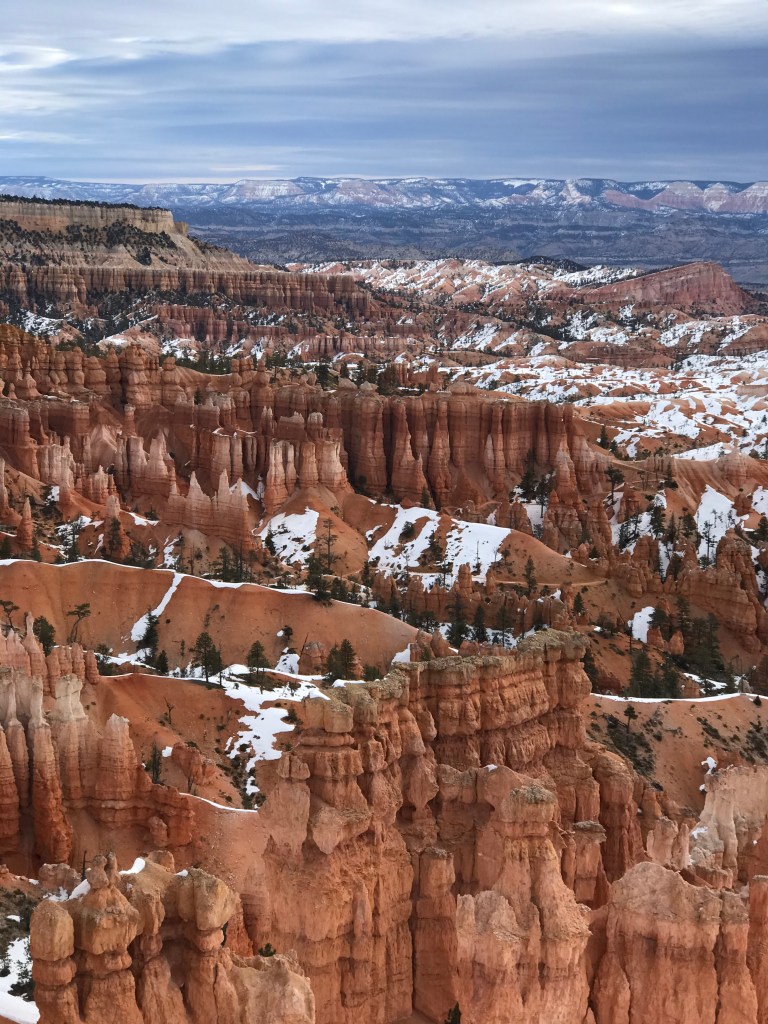
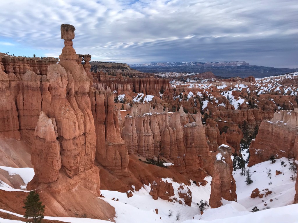
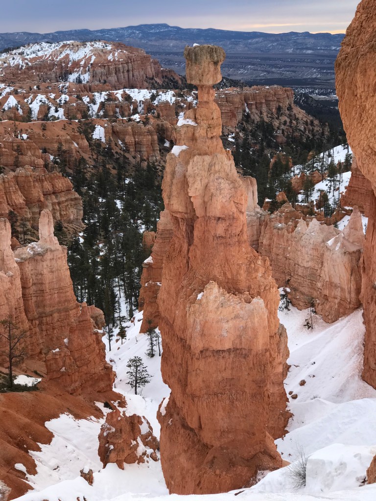
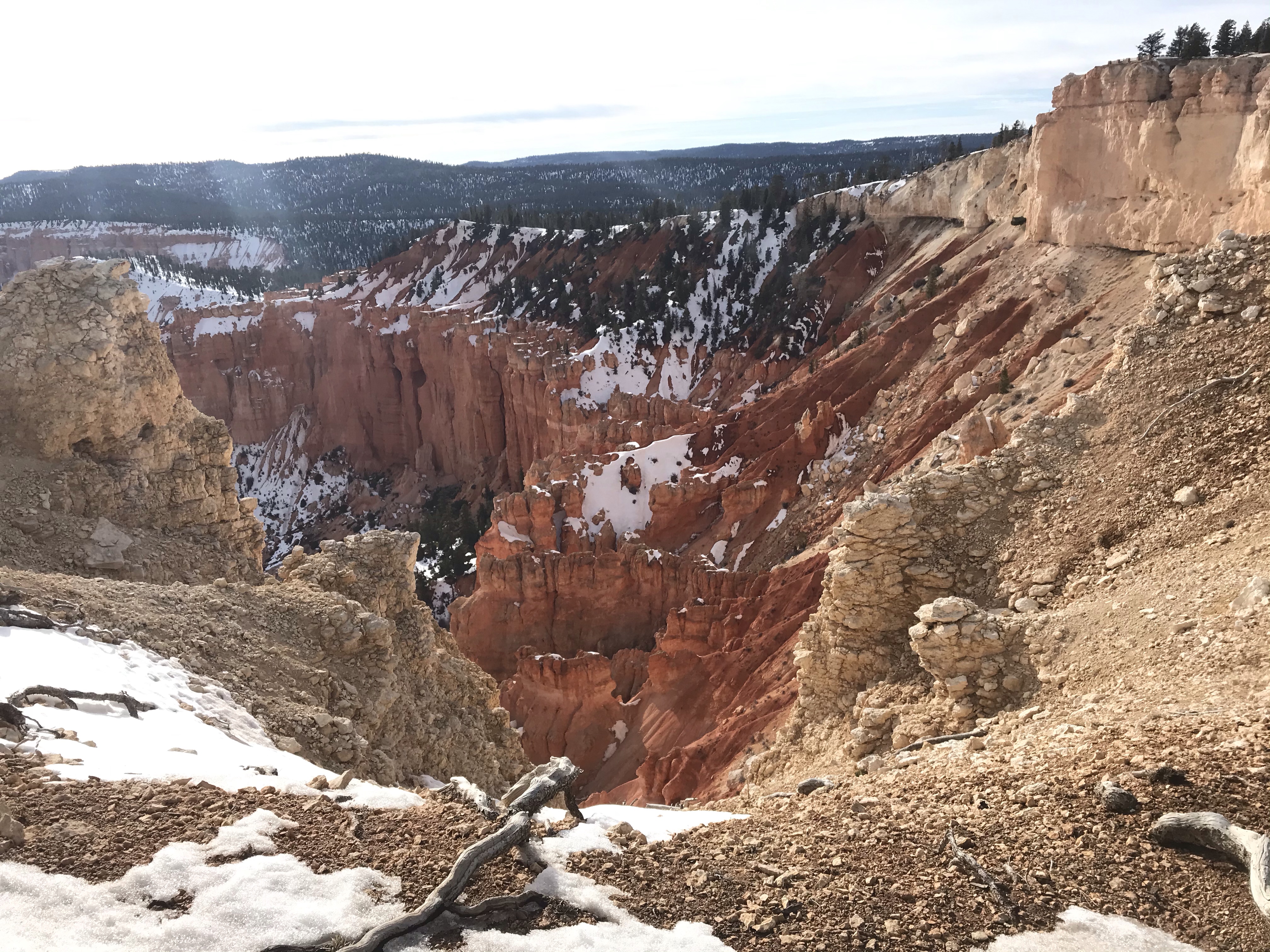
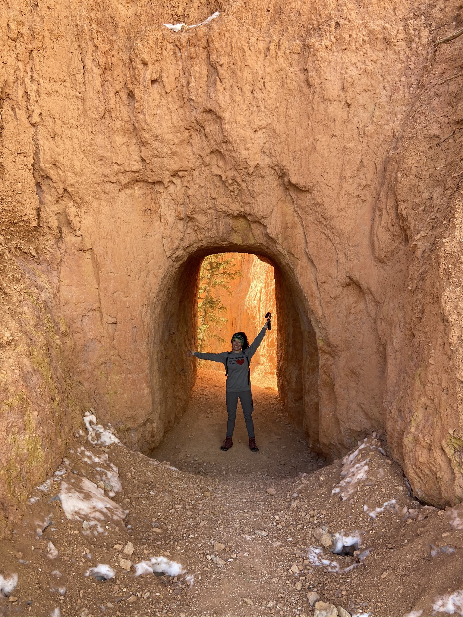
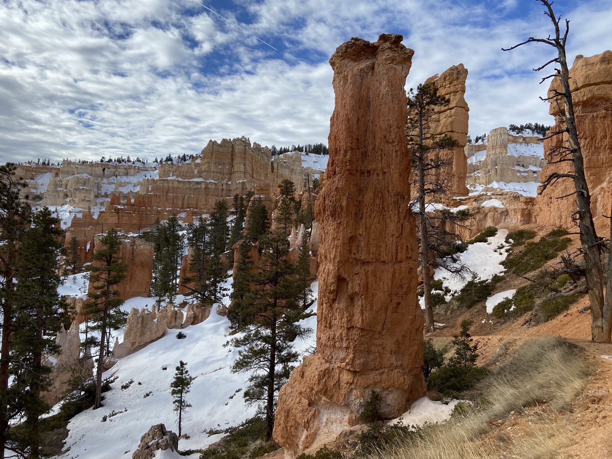
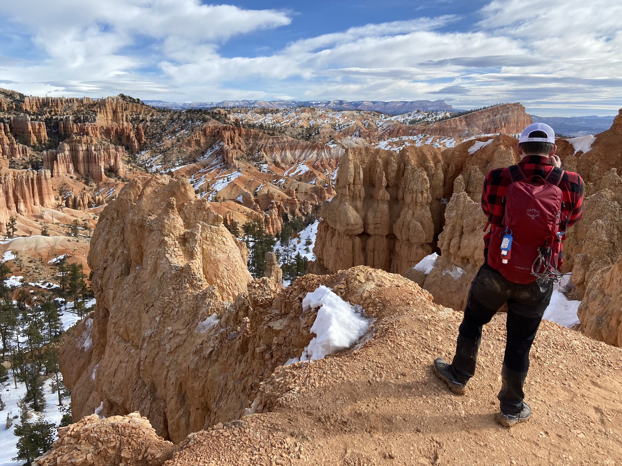
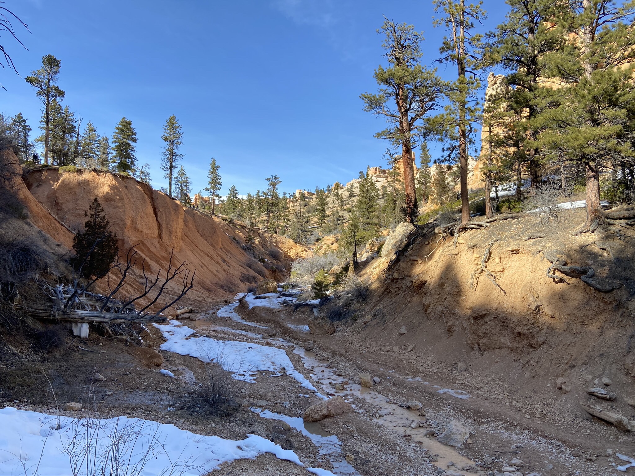
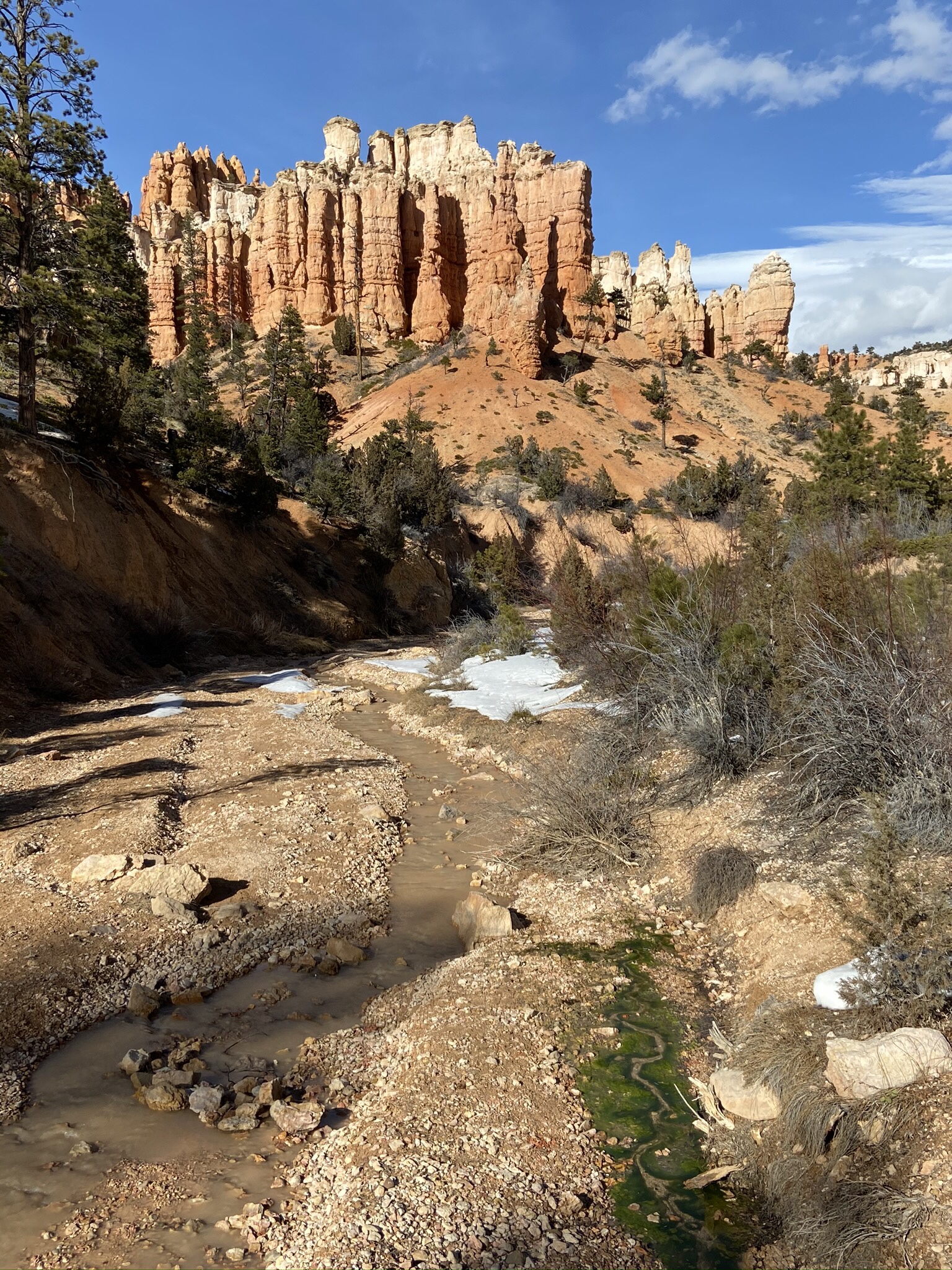
This large figure eight could be split up into a couple of smaller hikes, but we were itching for a longer day of continuous hiking, so we did the full loop. Starting at the rim, and then slowly descending into the canyon, we went from seeing hoodoos everywhere, to stumbling upon them, including Thor’s Hammer (the last picture).
The NPS tells you to take Peekaboo Trail clockwise in the winter because of the trail, but we didn’t pick up on that until after we finished. I didn’t find it more challenging or impossible to do, so I’m not sure why they recommend that (even going so far as to print it on the brochure map).
There was one bathroom on this part of the hike… it was really rough. Most of the bathrooms we’ve stumbled upon at the National Parks have been surprisingly clean, but this one was deep into our hike… makes sense why it’s clearly not cleaned as frequently.

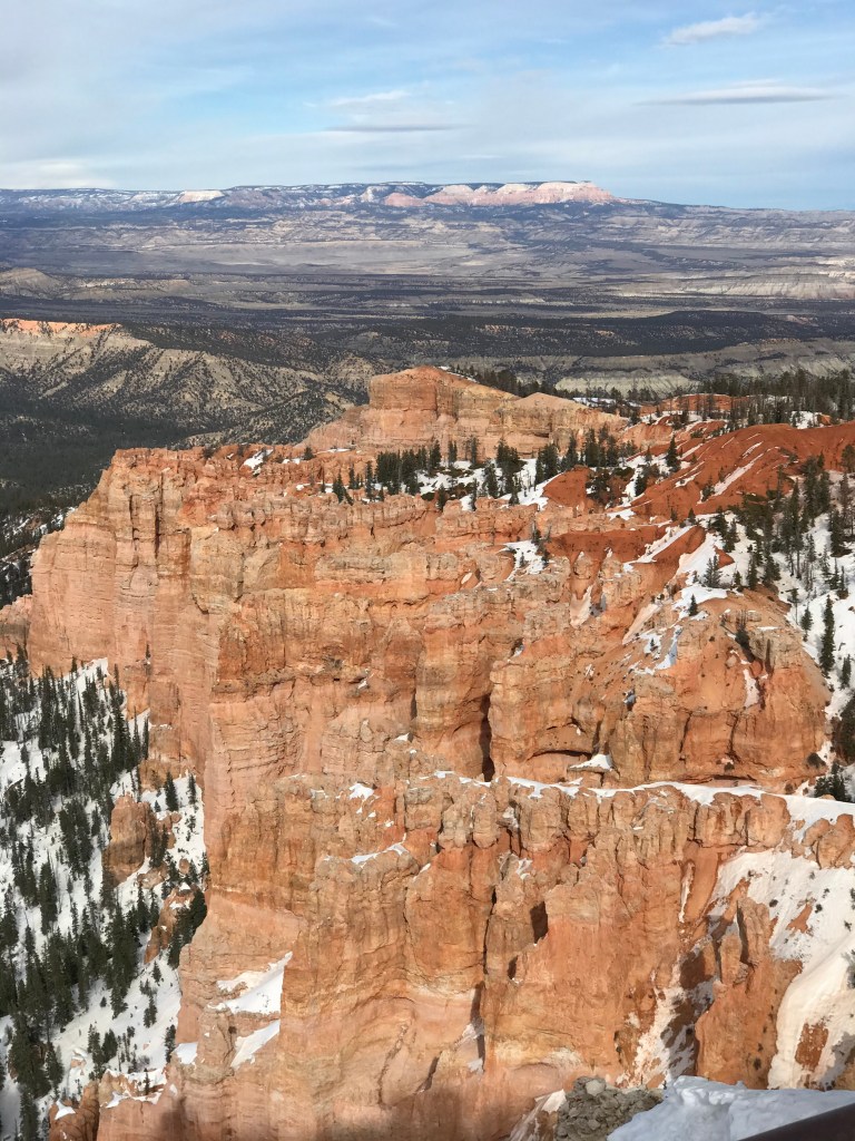
Bryce Point
A very short hike from a paved parking lot. The road leading here is often closed up to 4 days after a snow storm while they wait for snow plows to clear the road.
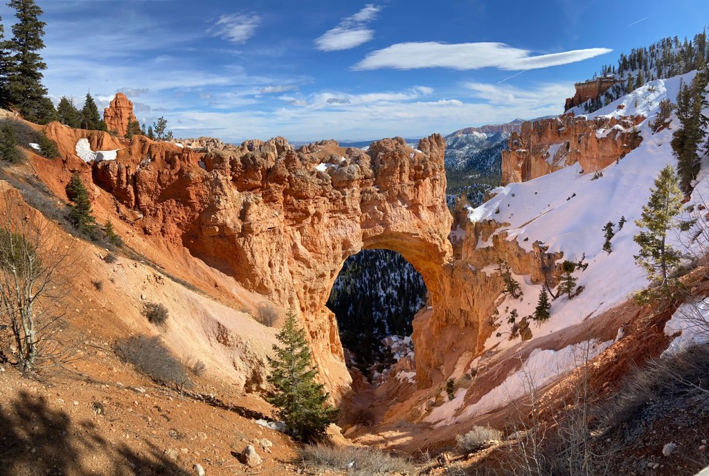
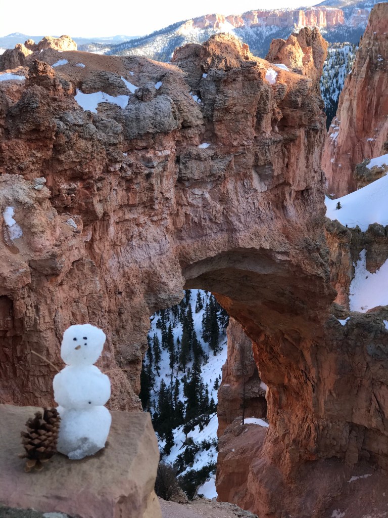
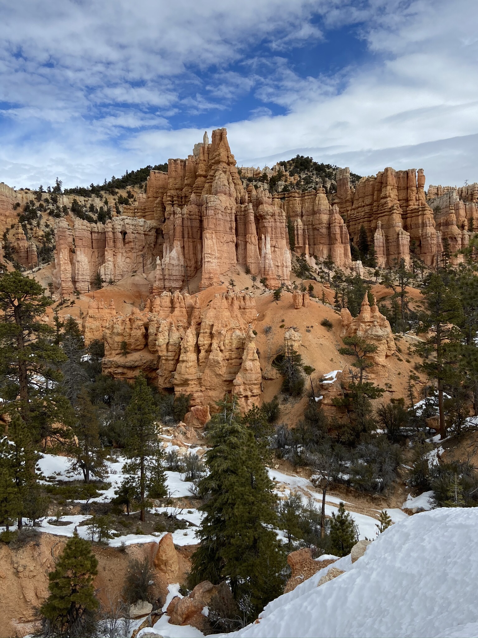
Natural Bridge
Driving to Bristlecone, we stopped off at a couple of pull offs, including Natural Bridge
Bristlecone Loop Trail > Yuvimpa Point
1.8 miles, 151 feet elevation gain.
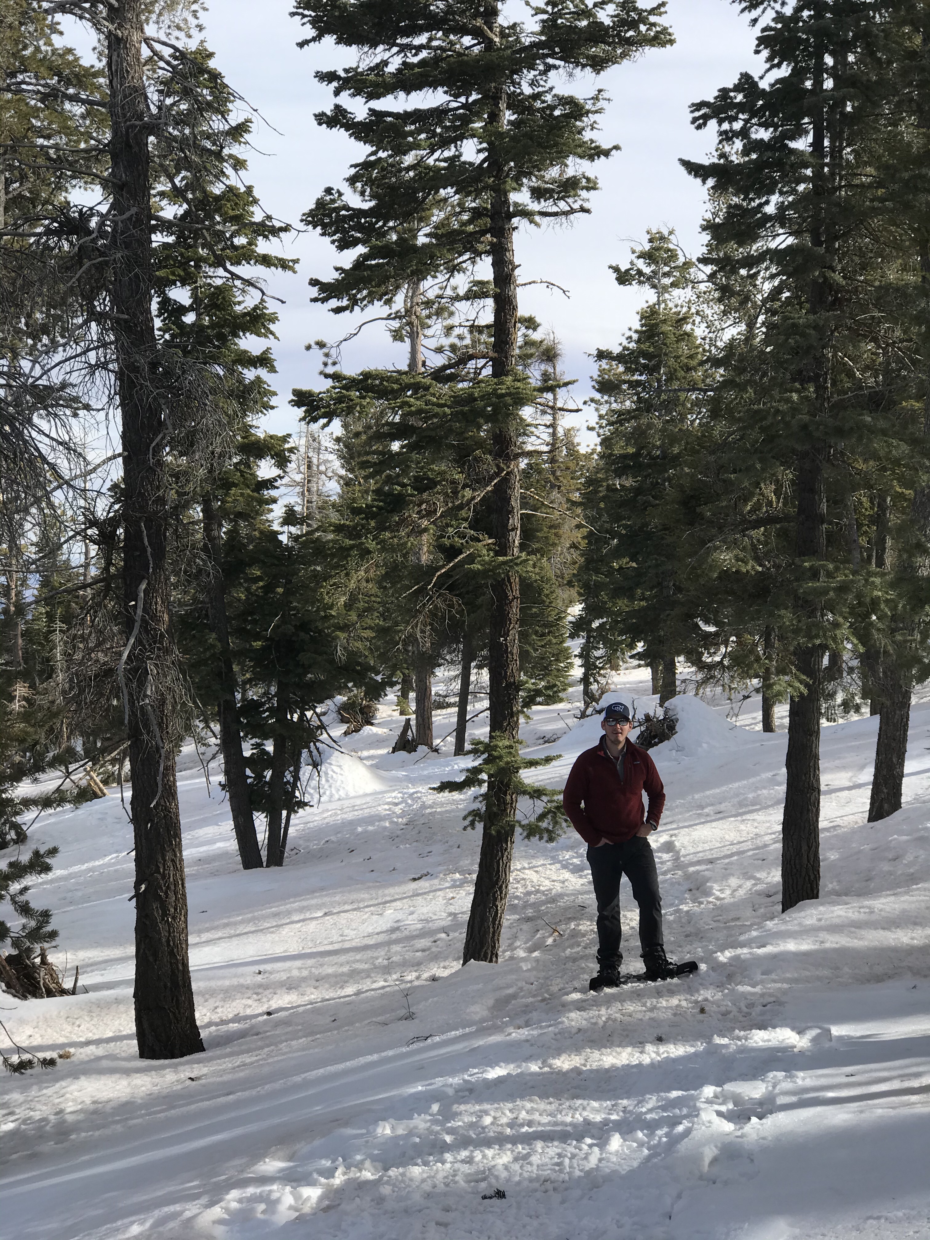
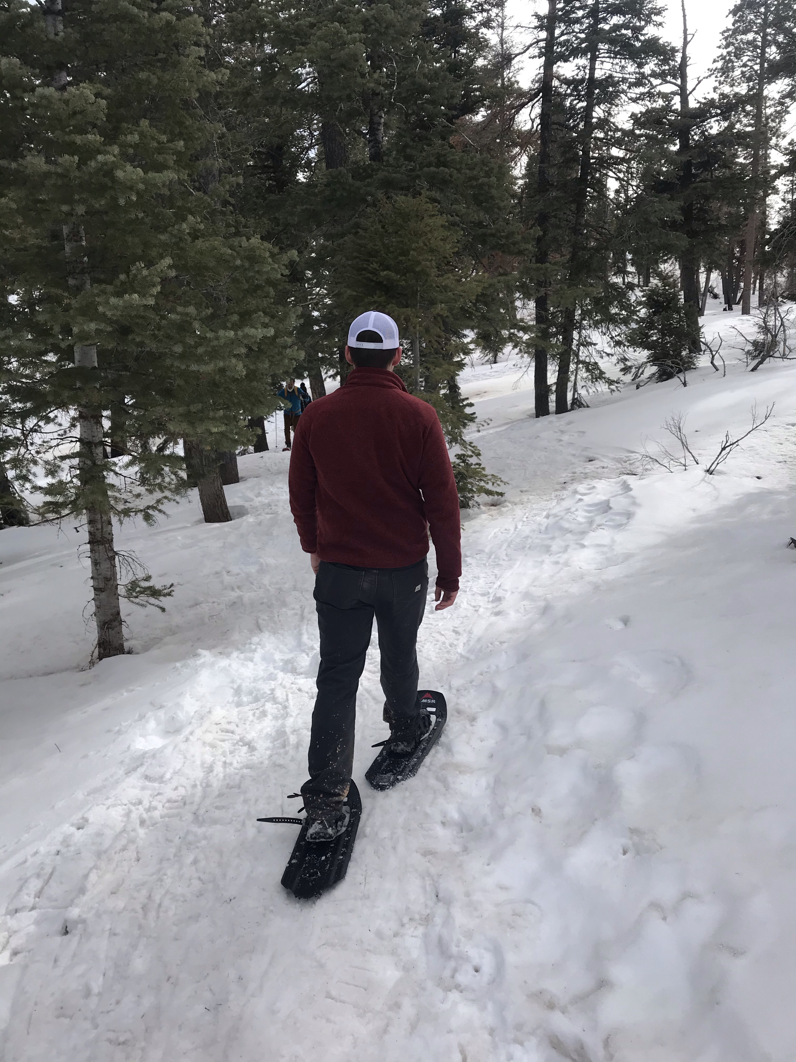
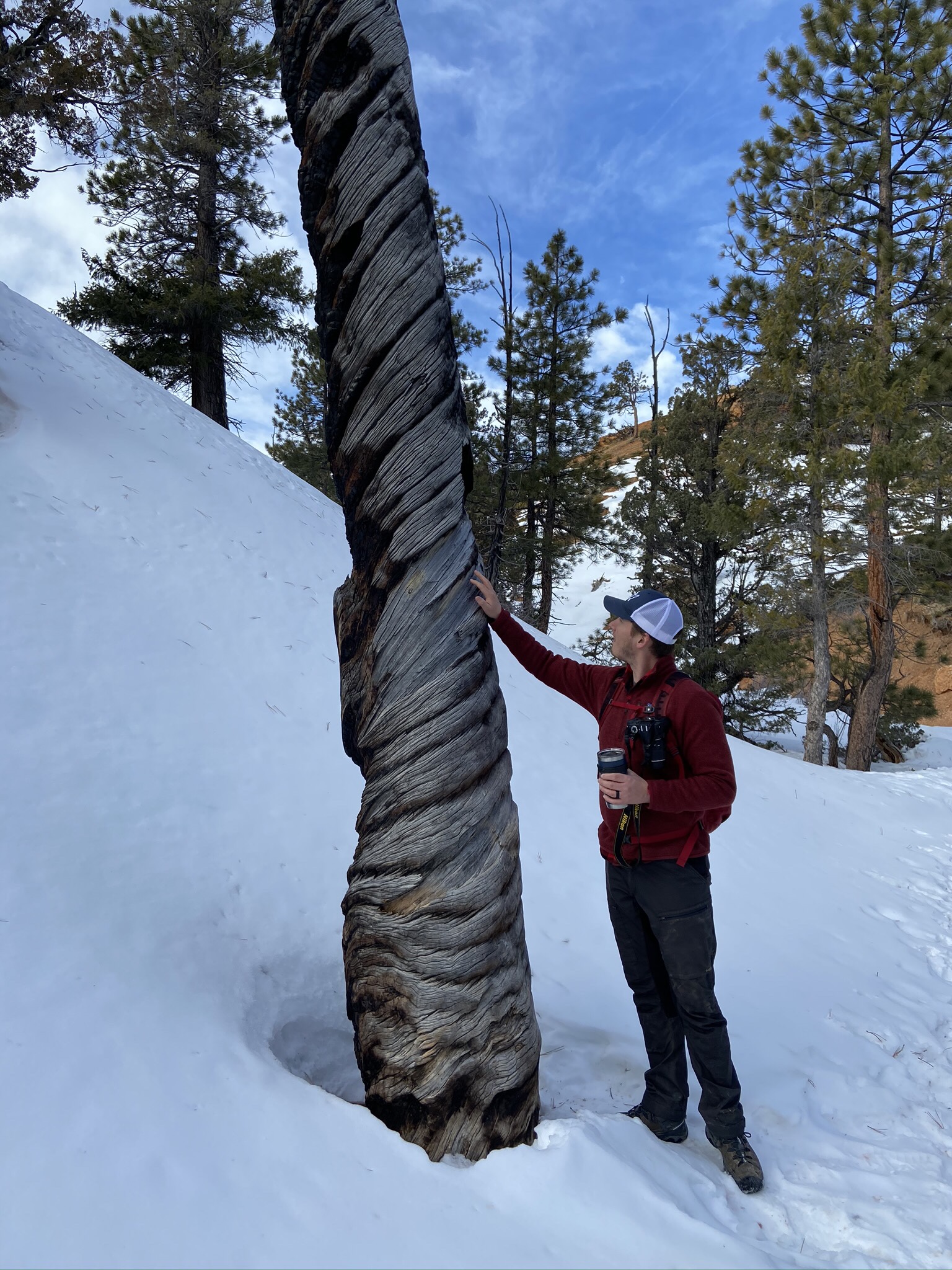
We were spent by the end of the day, but found a super short hike that we did before we went back to the hotel. Wearing snow shoes for the first time was a blast, and made for a great way to end our first day.
Day 2
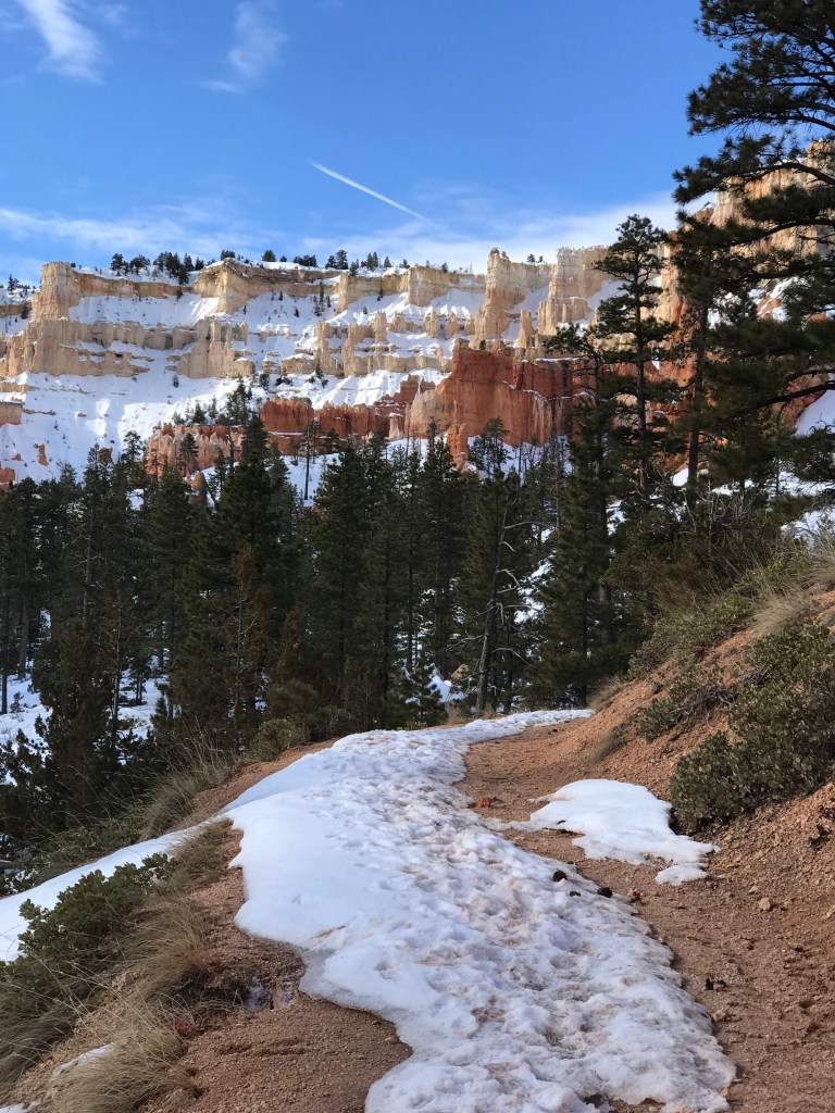
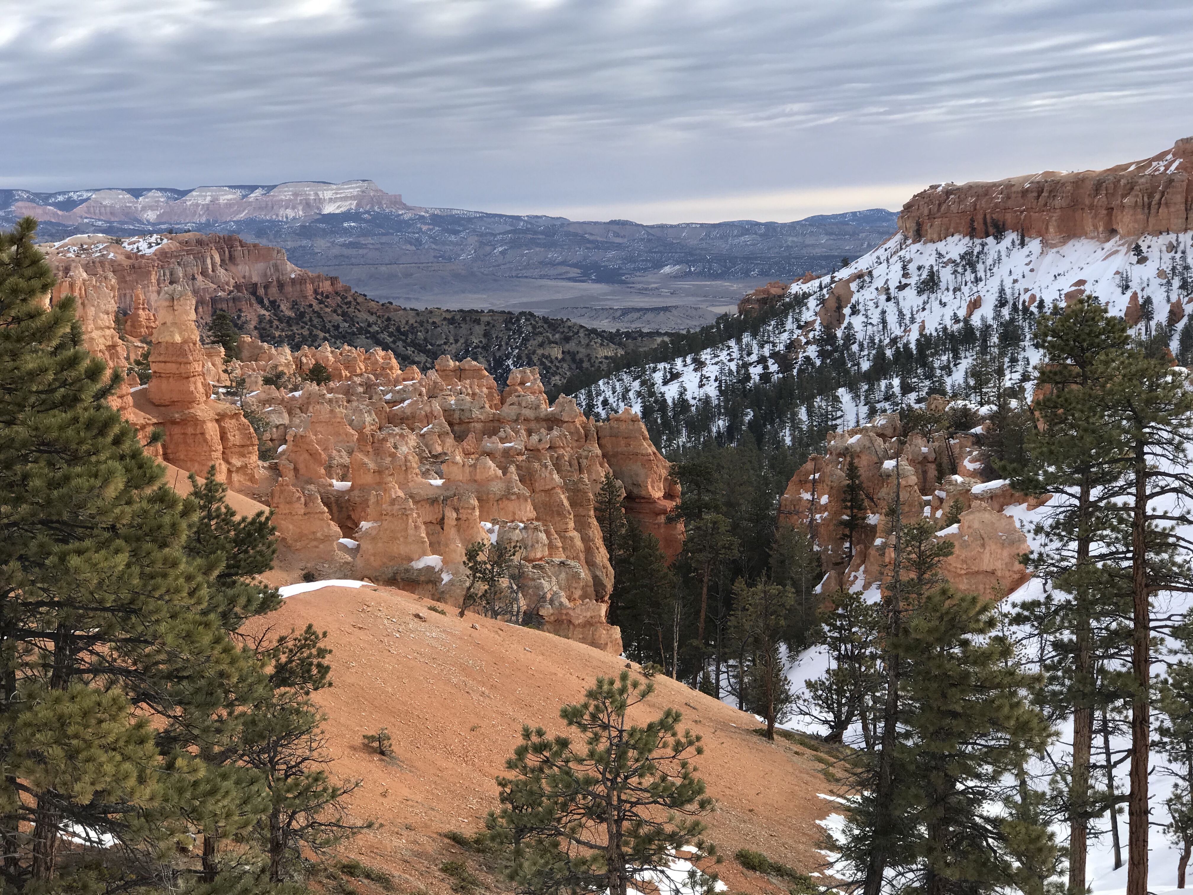
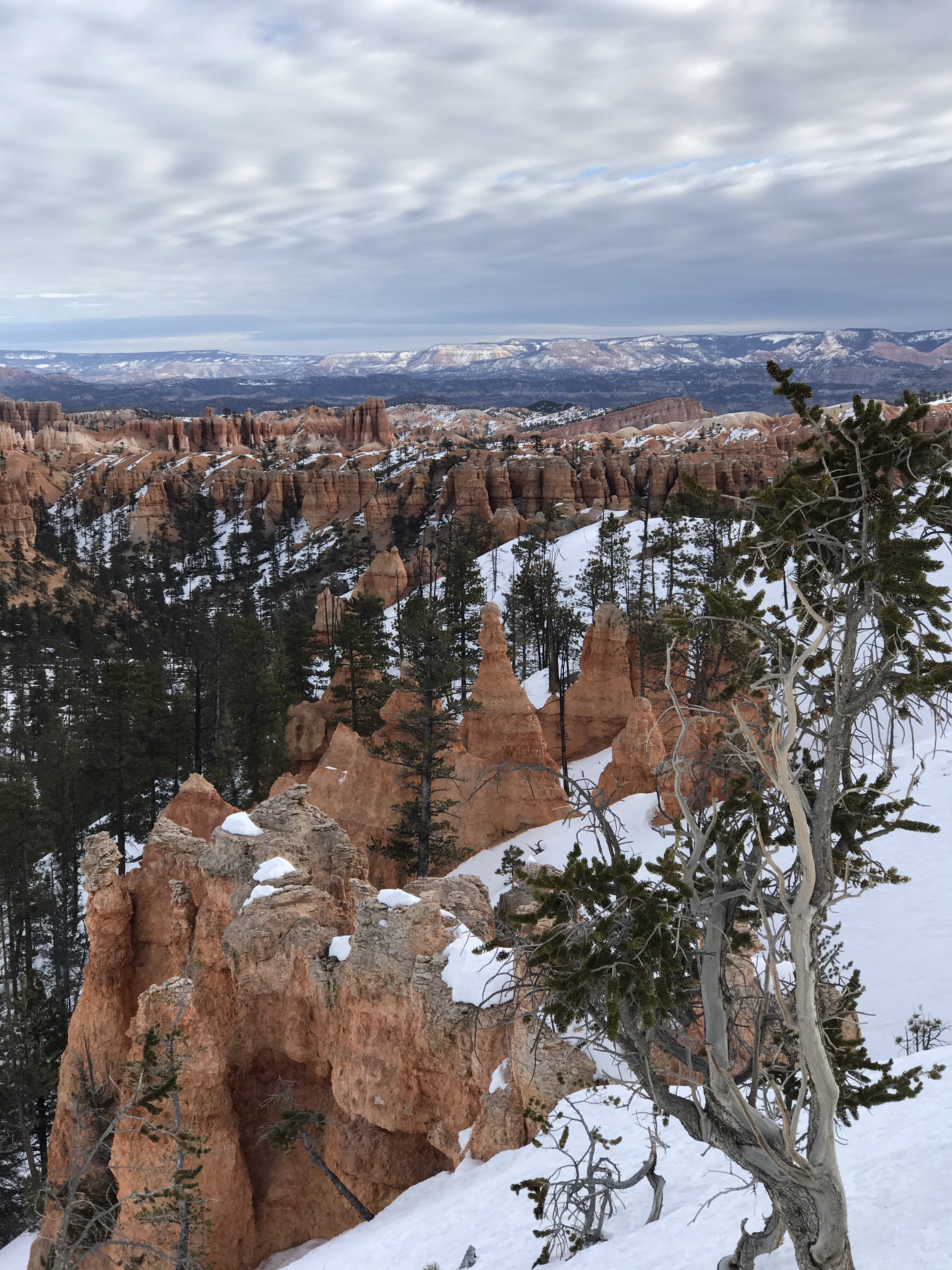
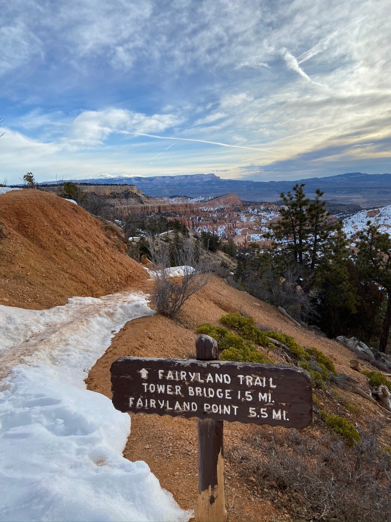
Fairyland Loop Trail
8.4 miles, 1621 feet of elevation gain
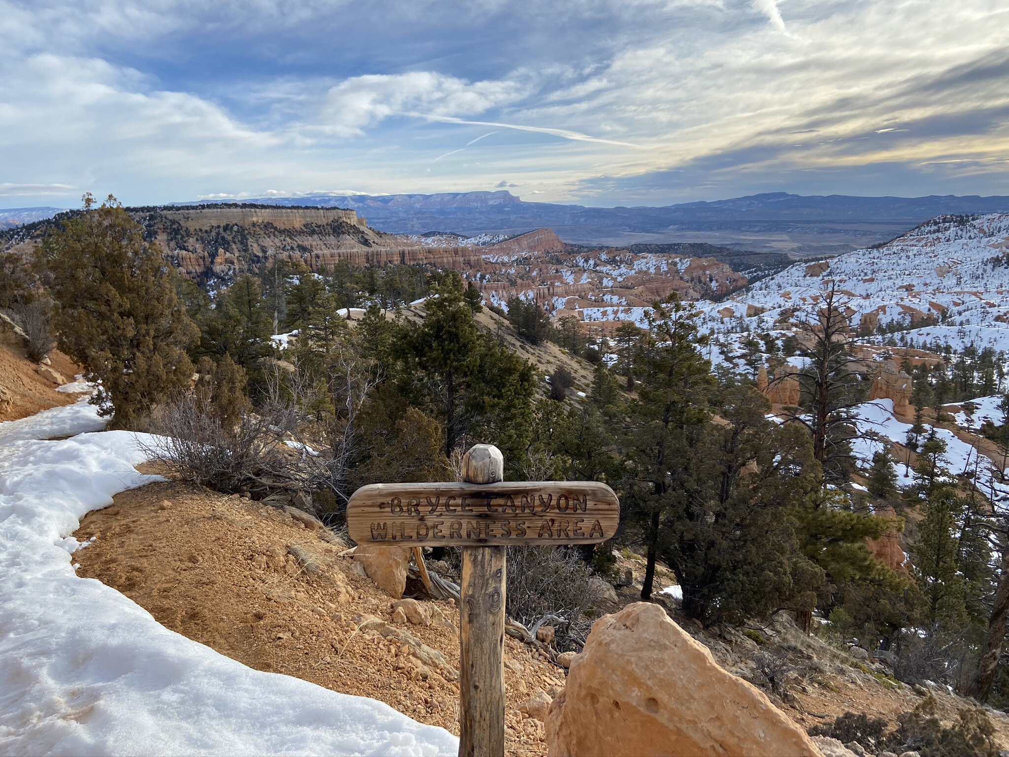
This hike would have been challenging in the summer as it’s almost entirely exposed, although in the winter it was at times slippery from the packed down snow, and walking along the Rim Trail back from the end of the Fairyland Loop to Sunrise Point was very difficult… maybe because we were already wiped from a long hike.
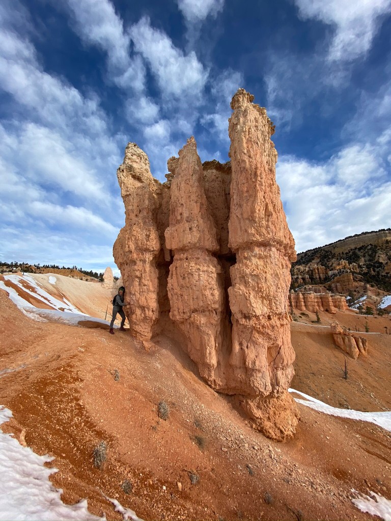
The hoodoos were incredible and so bizarre, and there were a number of times that you could get right up next to them.
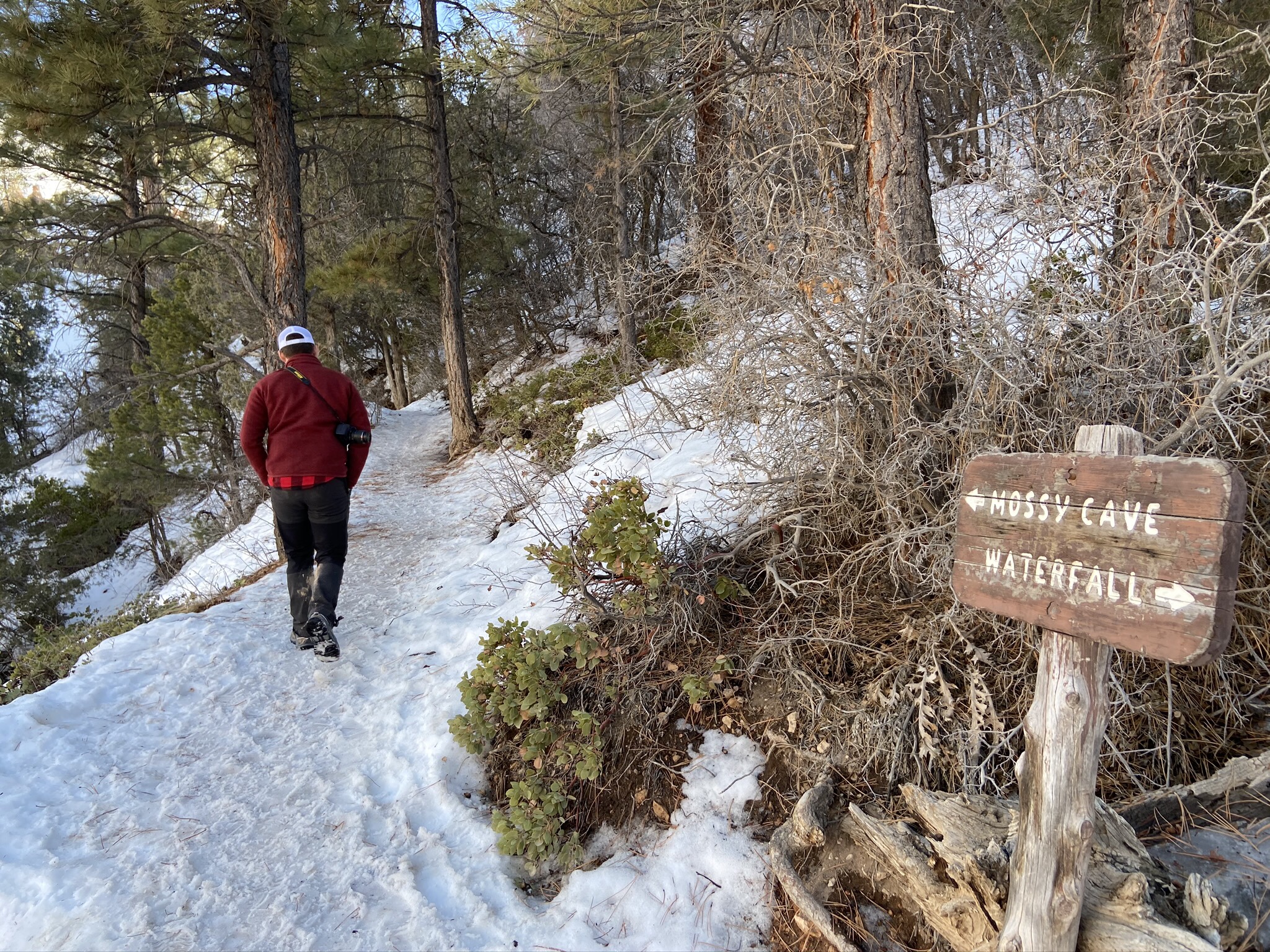
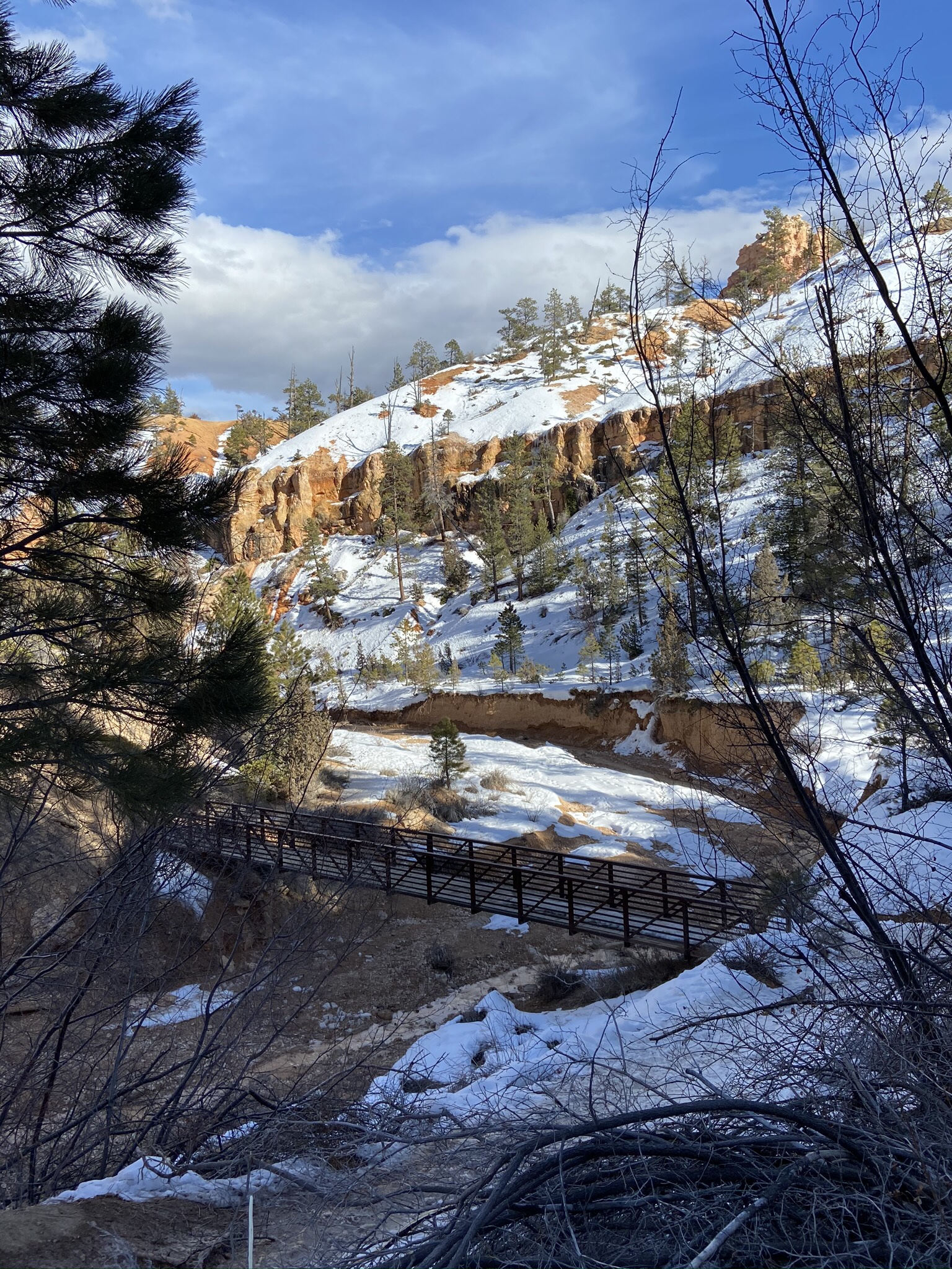
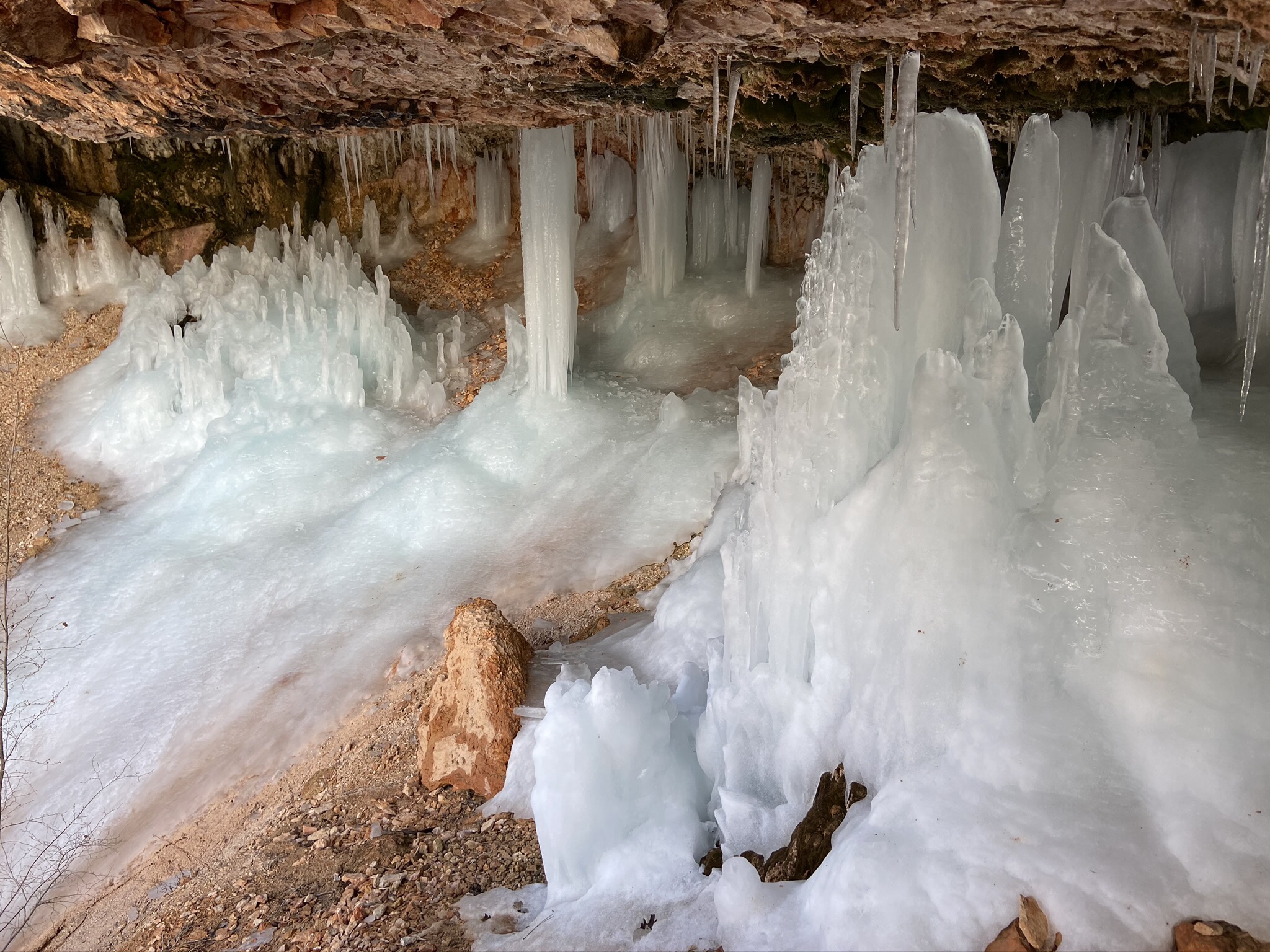
Mossy Cave Turret Arch and Little Windows Trail
3/4 of a mile, 125 feet elevation gain
This was a quick and easy hike (if not horribly slippery in the ice and snow… should’ve brought our YakTraks!) to end our day.
Day 3
Snowshoeing for 2.2 miles, 135 feet of elevation gain
