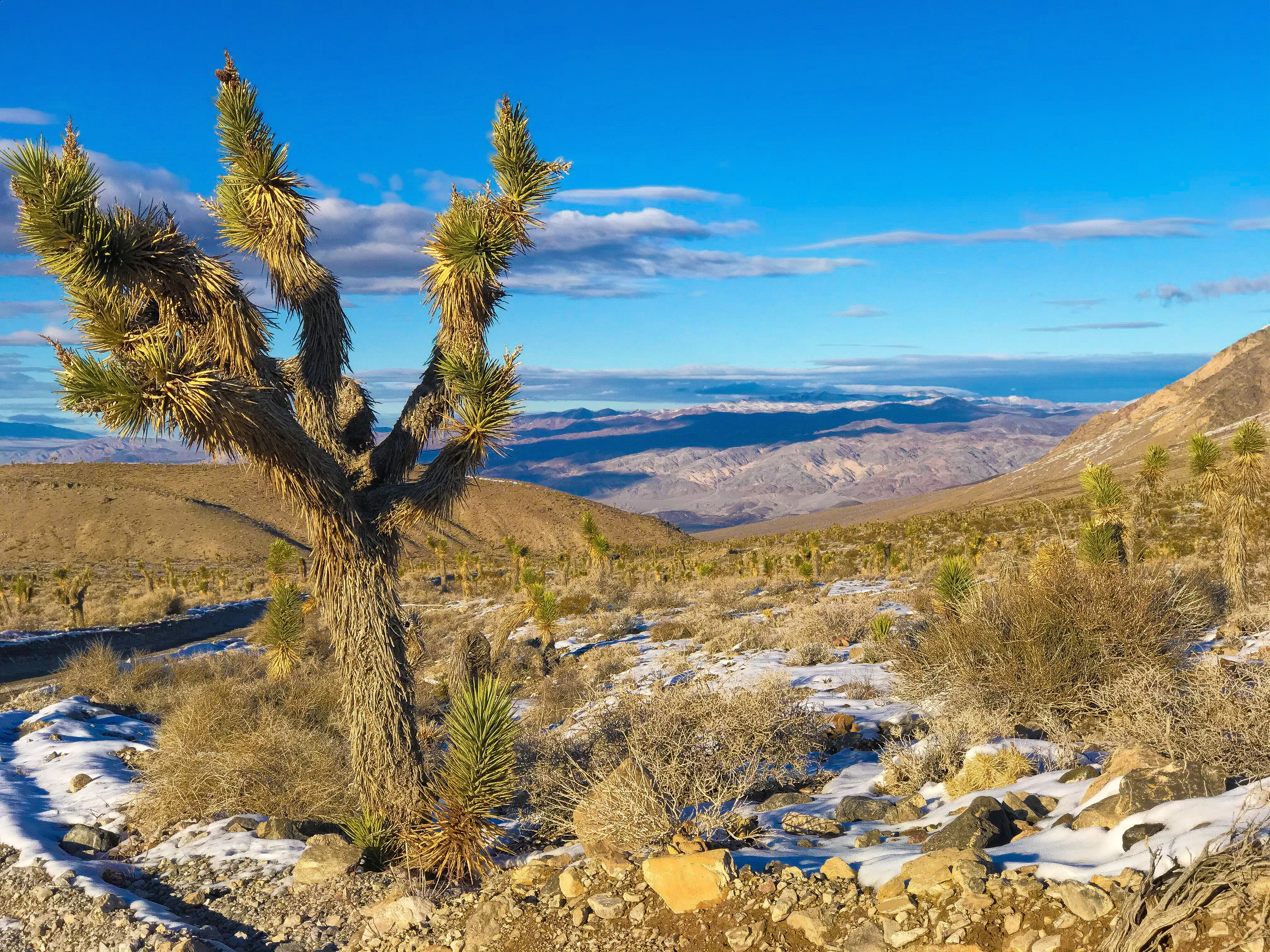
Death Valley is the hottest place in the world… except in the winter when we went.
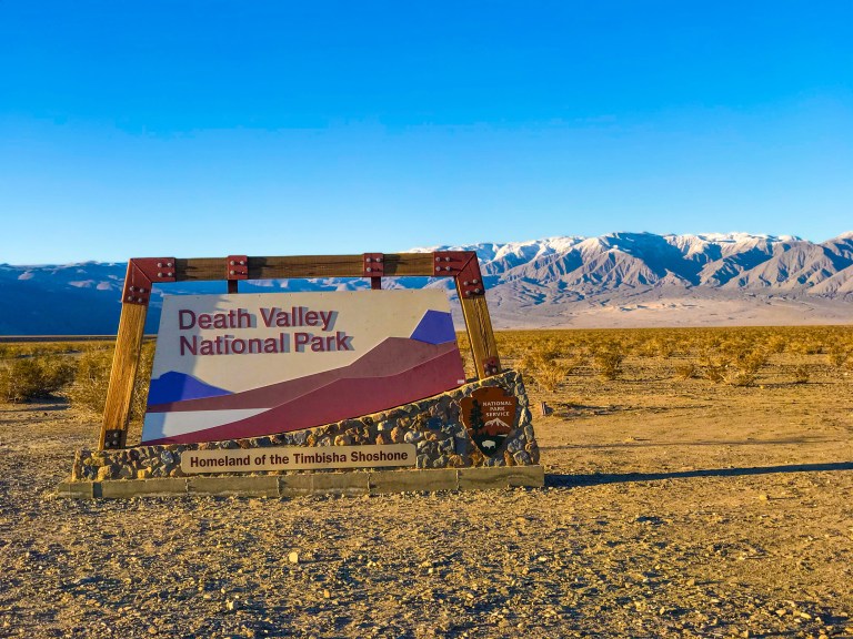
In the summer, temps hover around 120 degrees during the day and hang in the low 100s at night. In a good year, they receive 2 inches of rain (but most years there’s no rain), and it’s the lowest point in North America.
The temperatures get SO hot, it’s not advised to bring your annual pass (encased in a plastic sheath) into the park because it will melt. Instead, stop by the Furnace Creek Visitor Center to get a paper pass.
We stayed in Parhump – everything was booked by the time we booked this trip (about 4 weeks in advance), all of the camping sites and the two “hotels” (The Inn and the Ranch). It was an hour drive to and from the park every day, which was disappointing when we were exhausted from a long day of hiking. When we return some day, I’d definitely book the trip farther in advance and stay in Furnace Creek (the main town).
Day 1
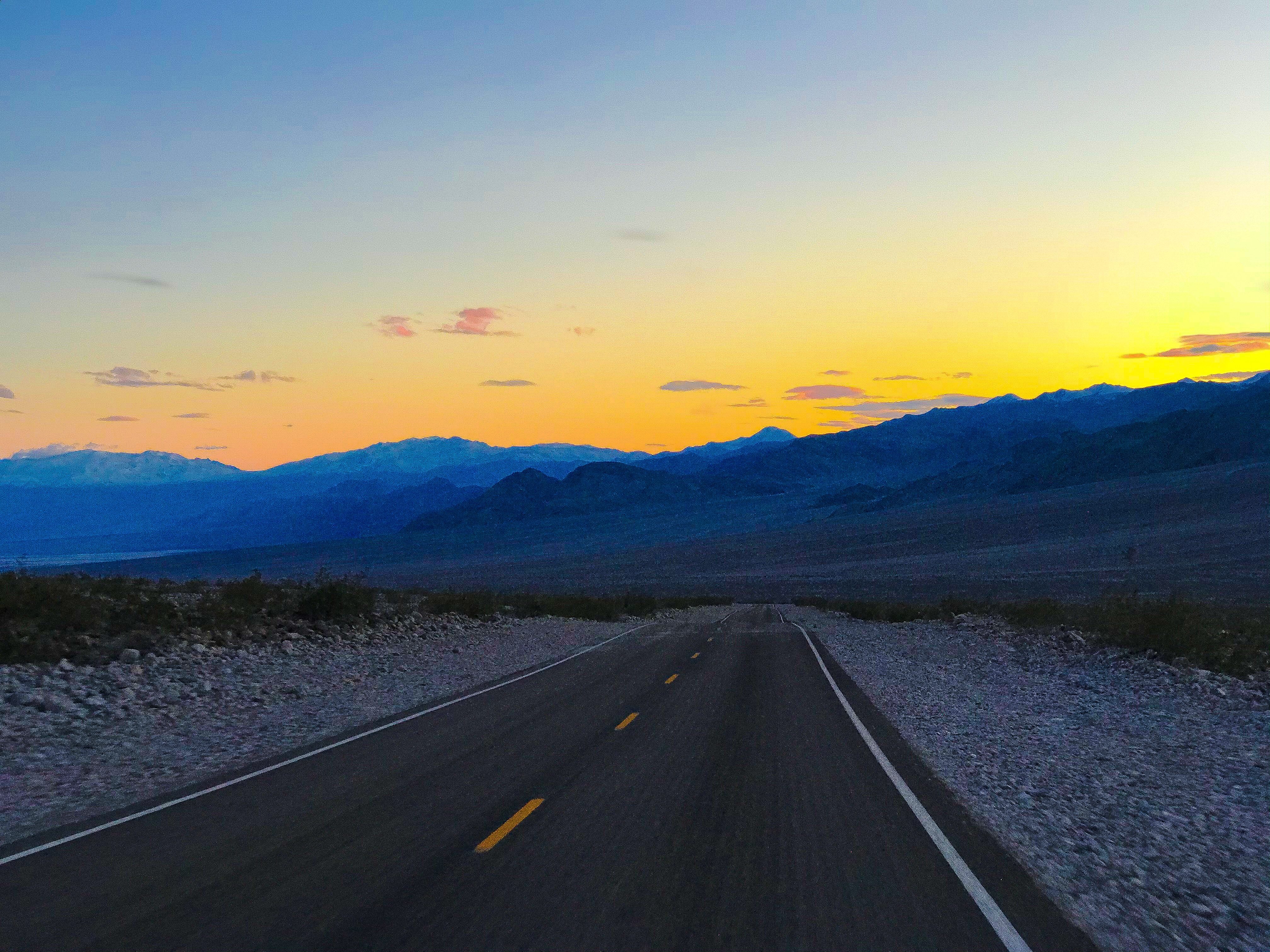
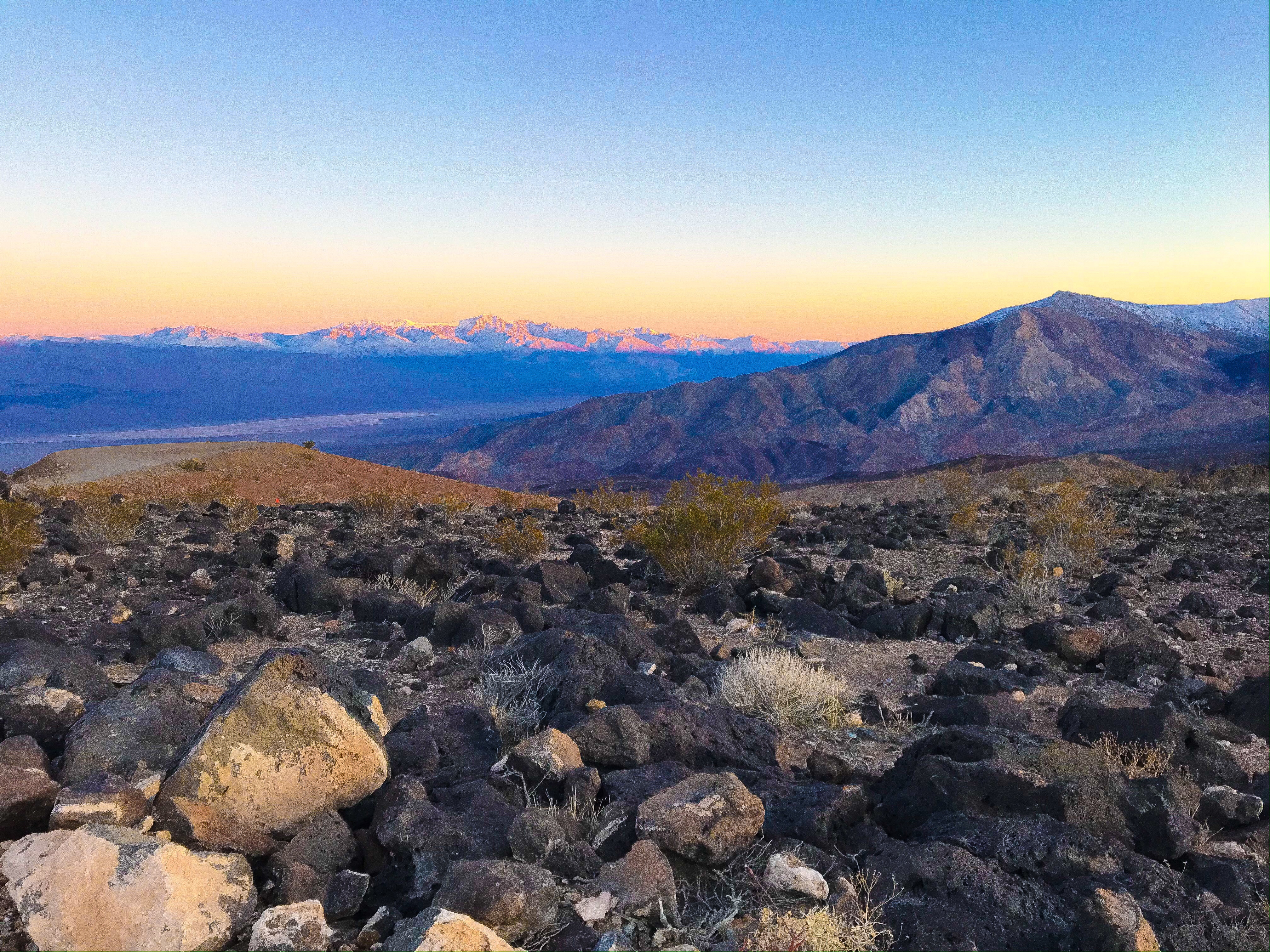
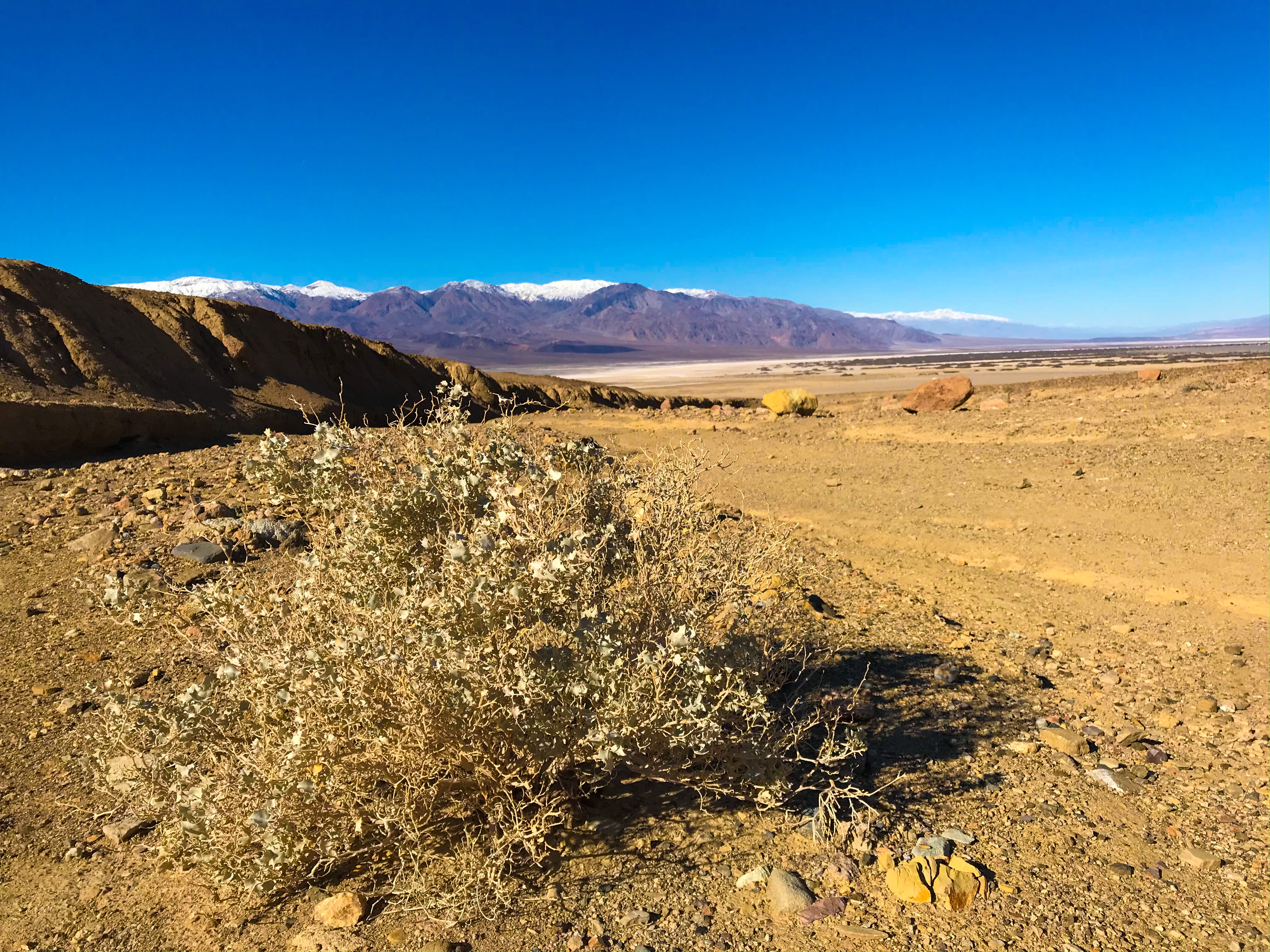
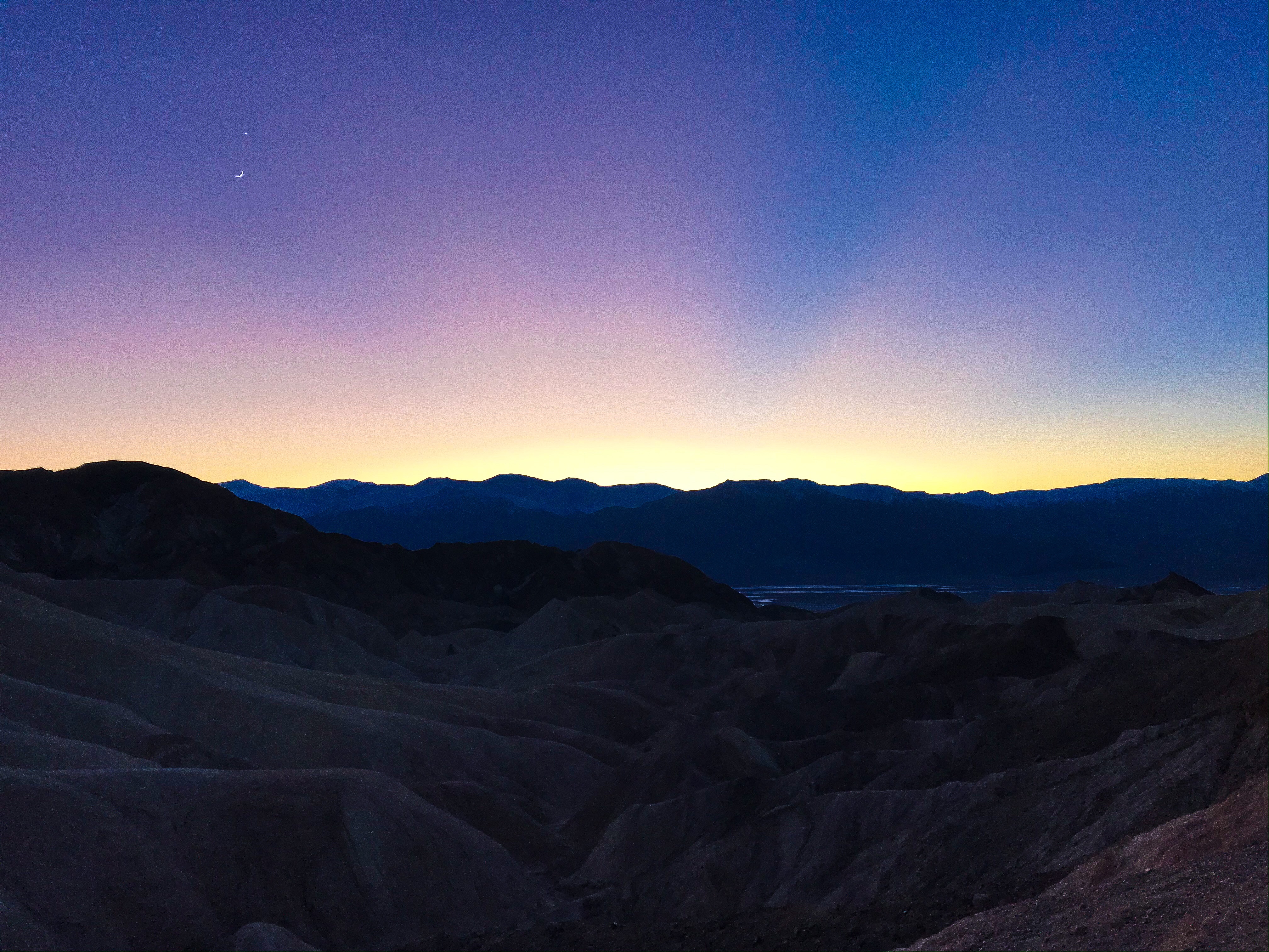
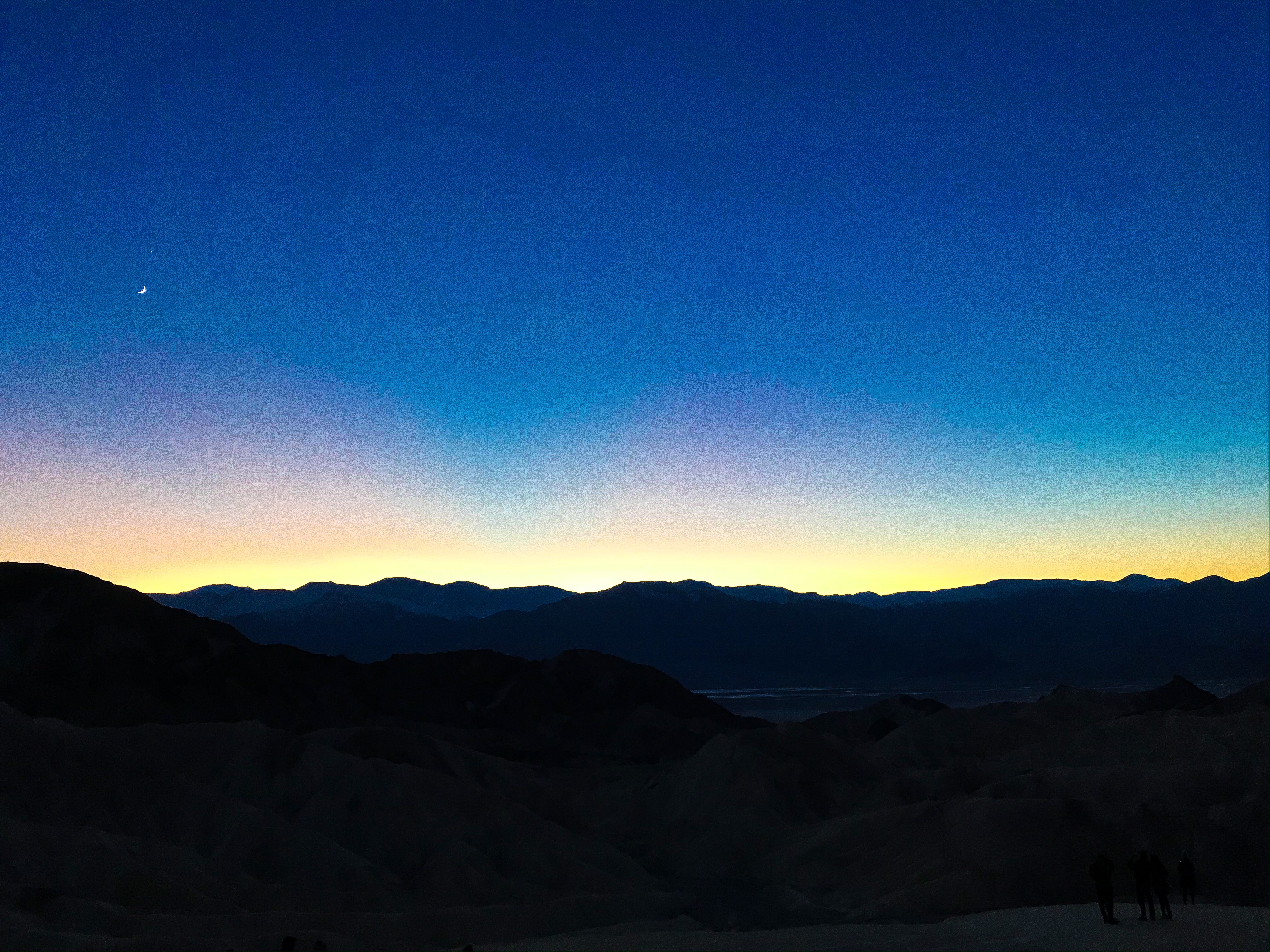
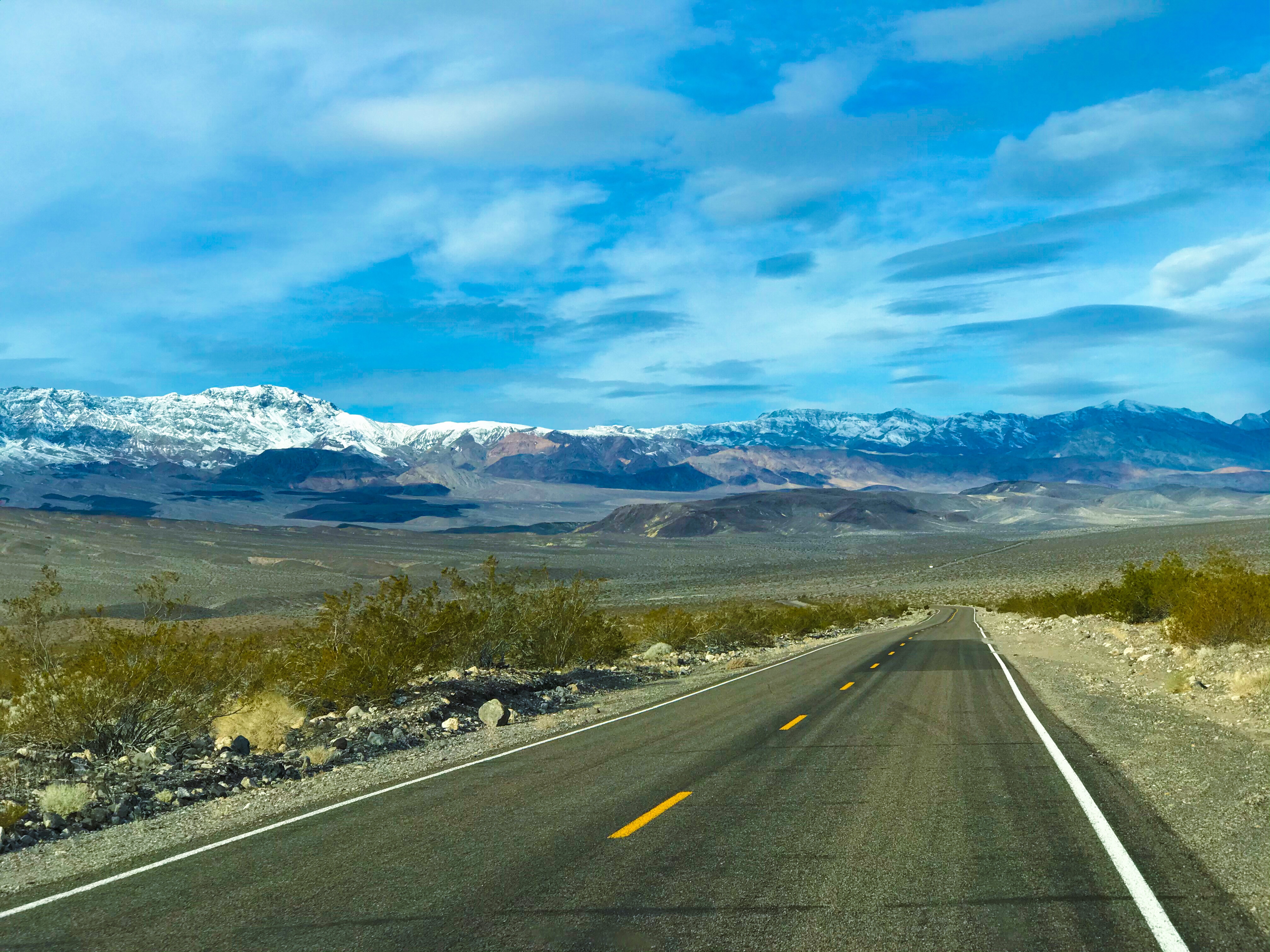
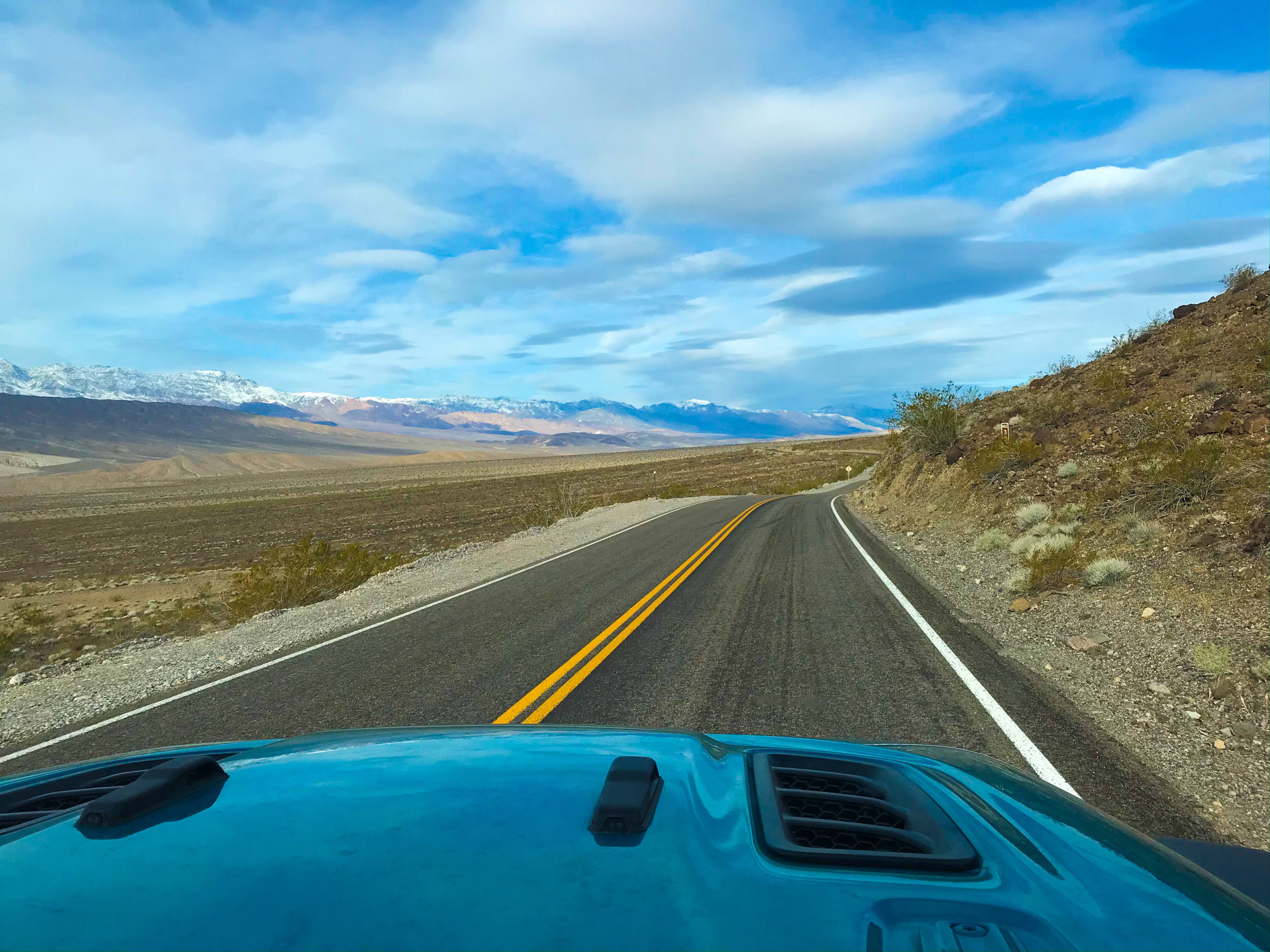
Father Crowley Vista
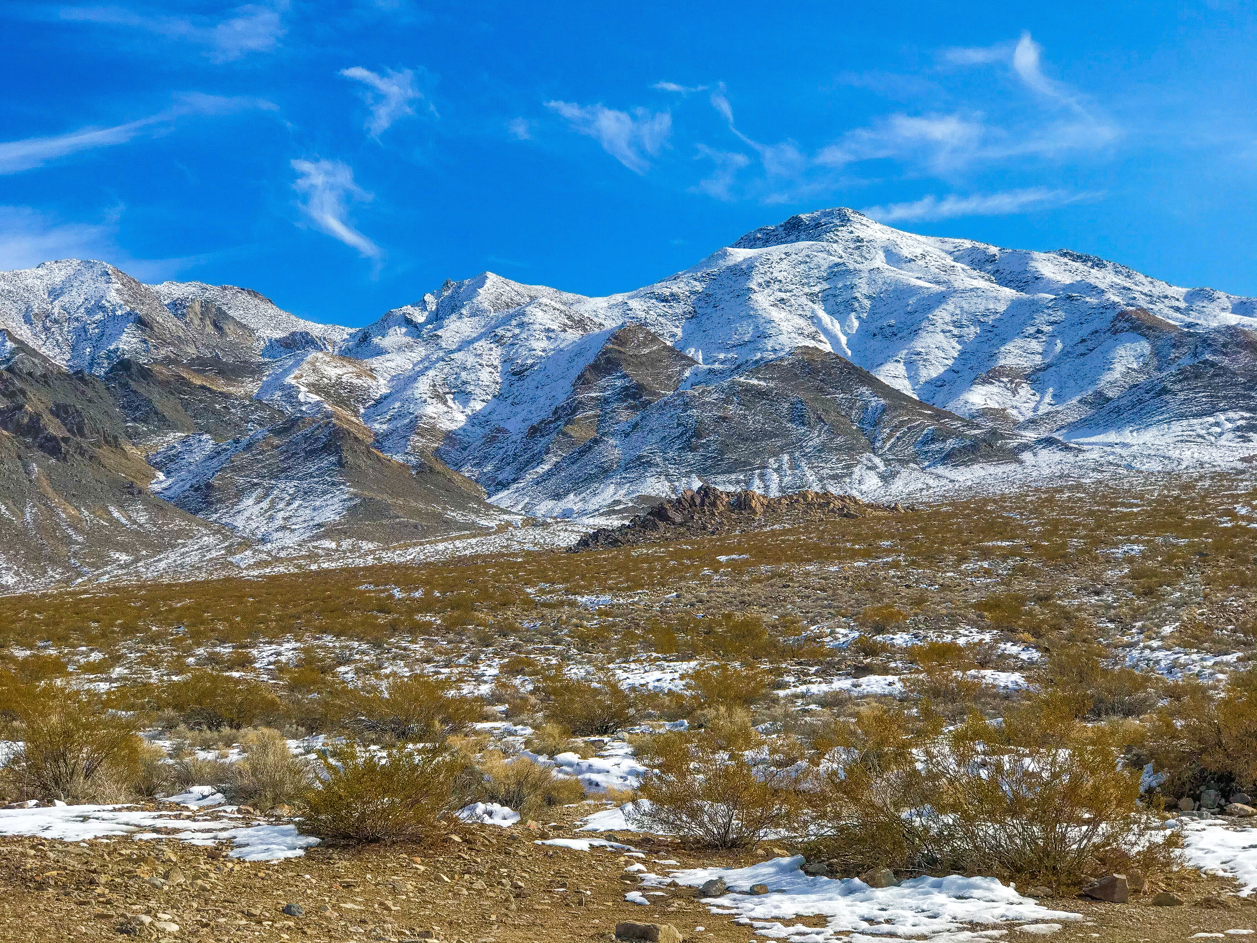
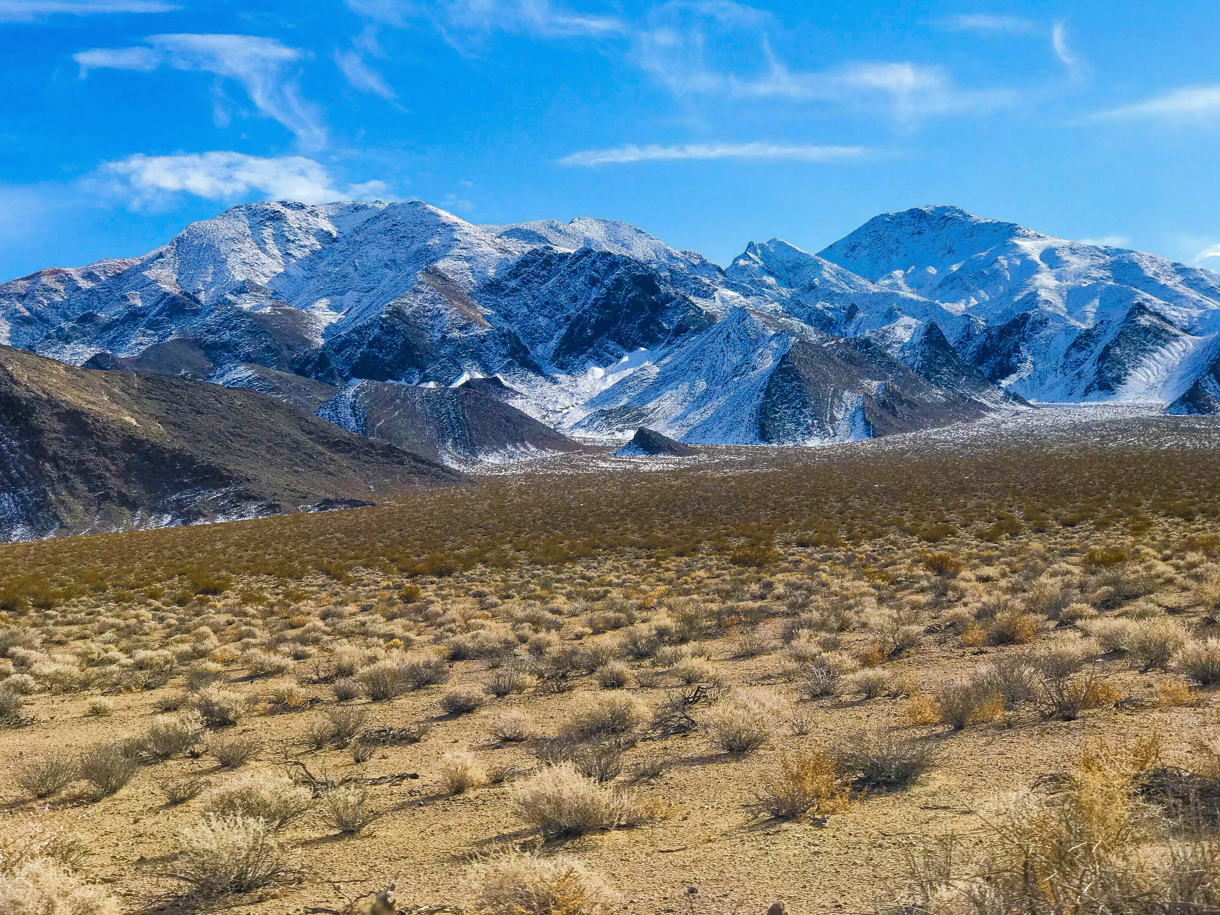
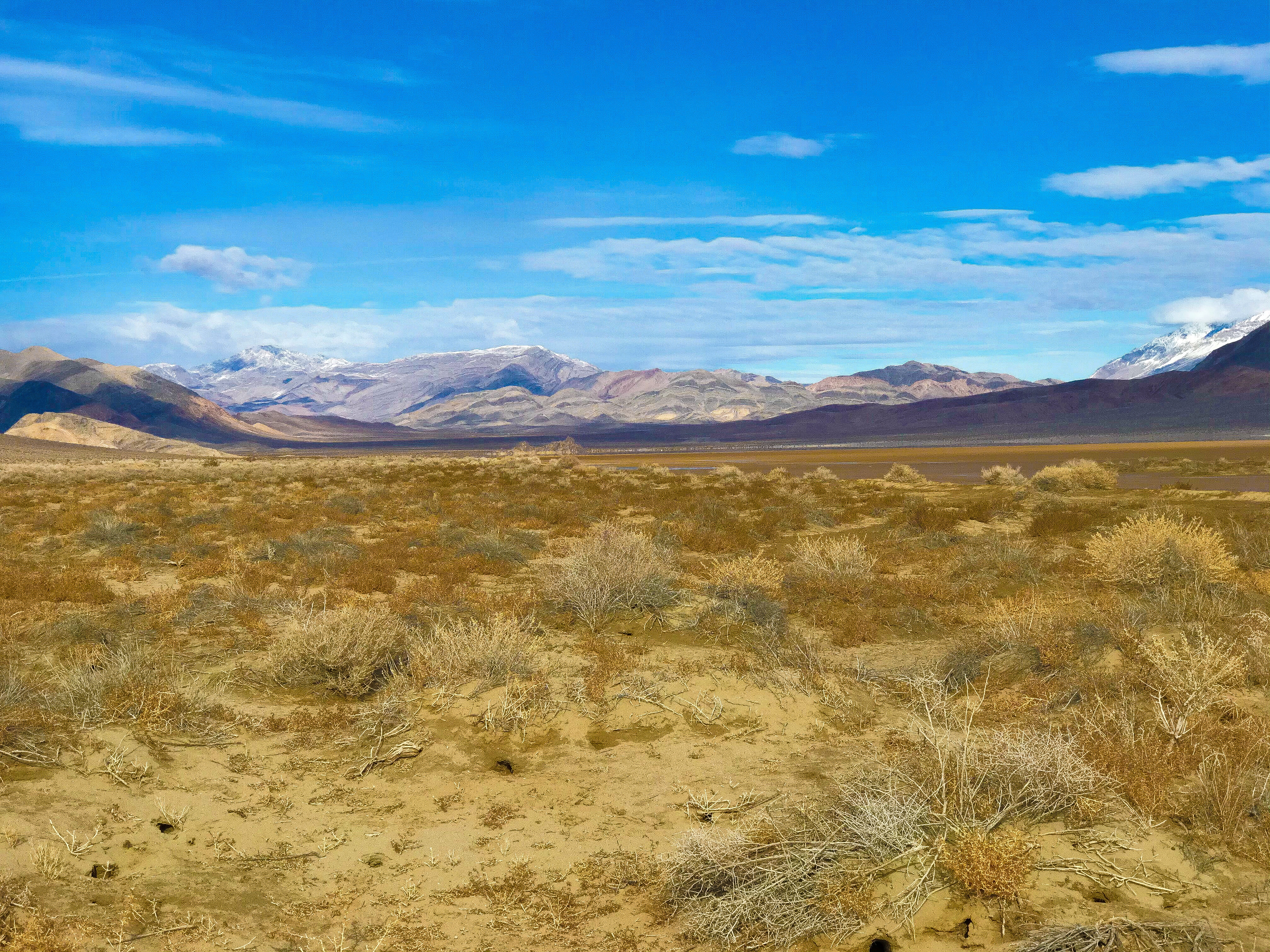
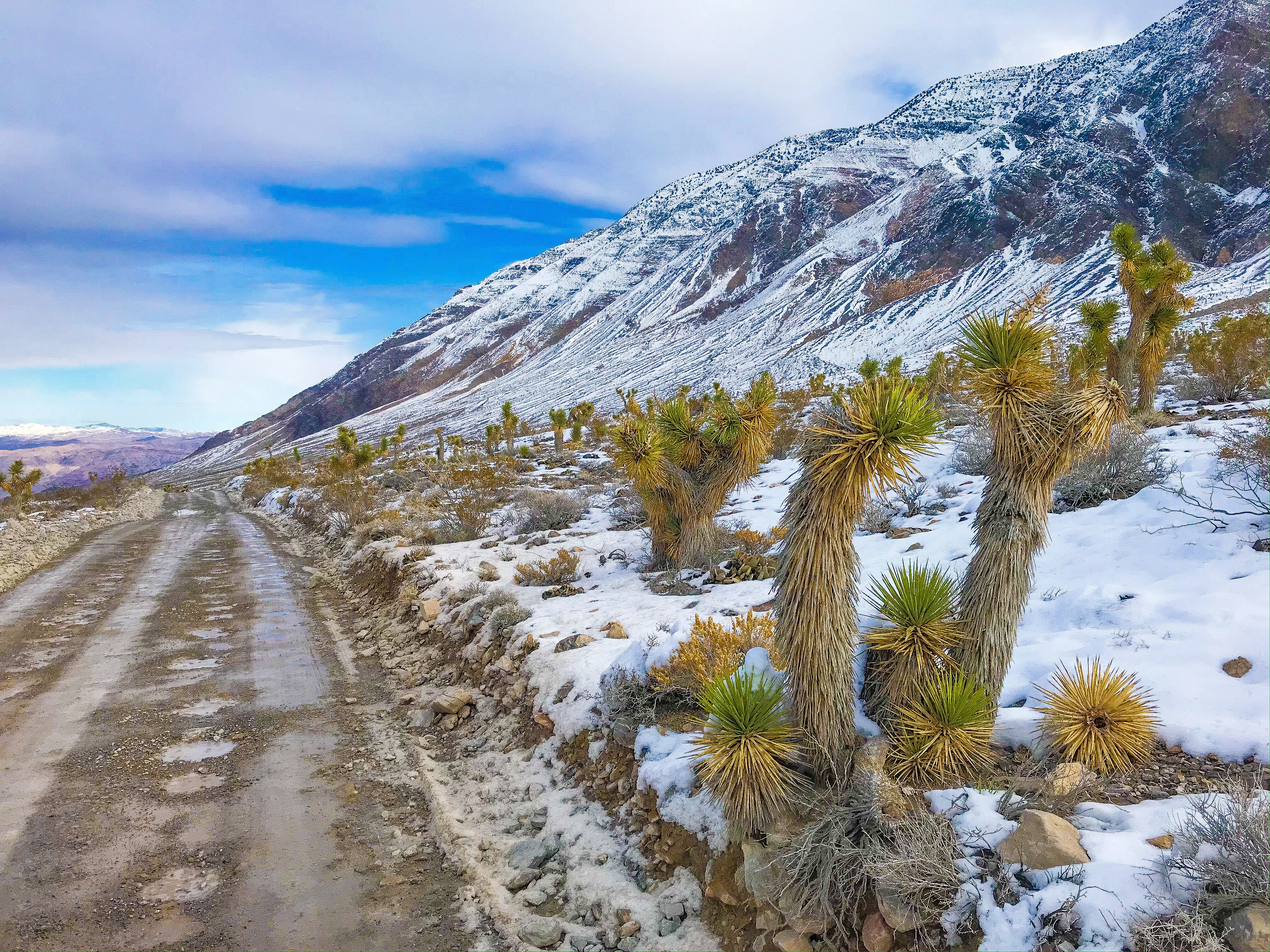
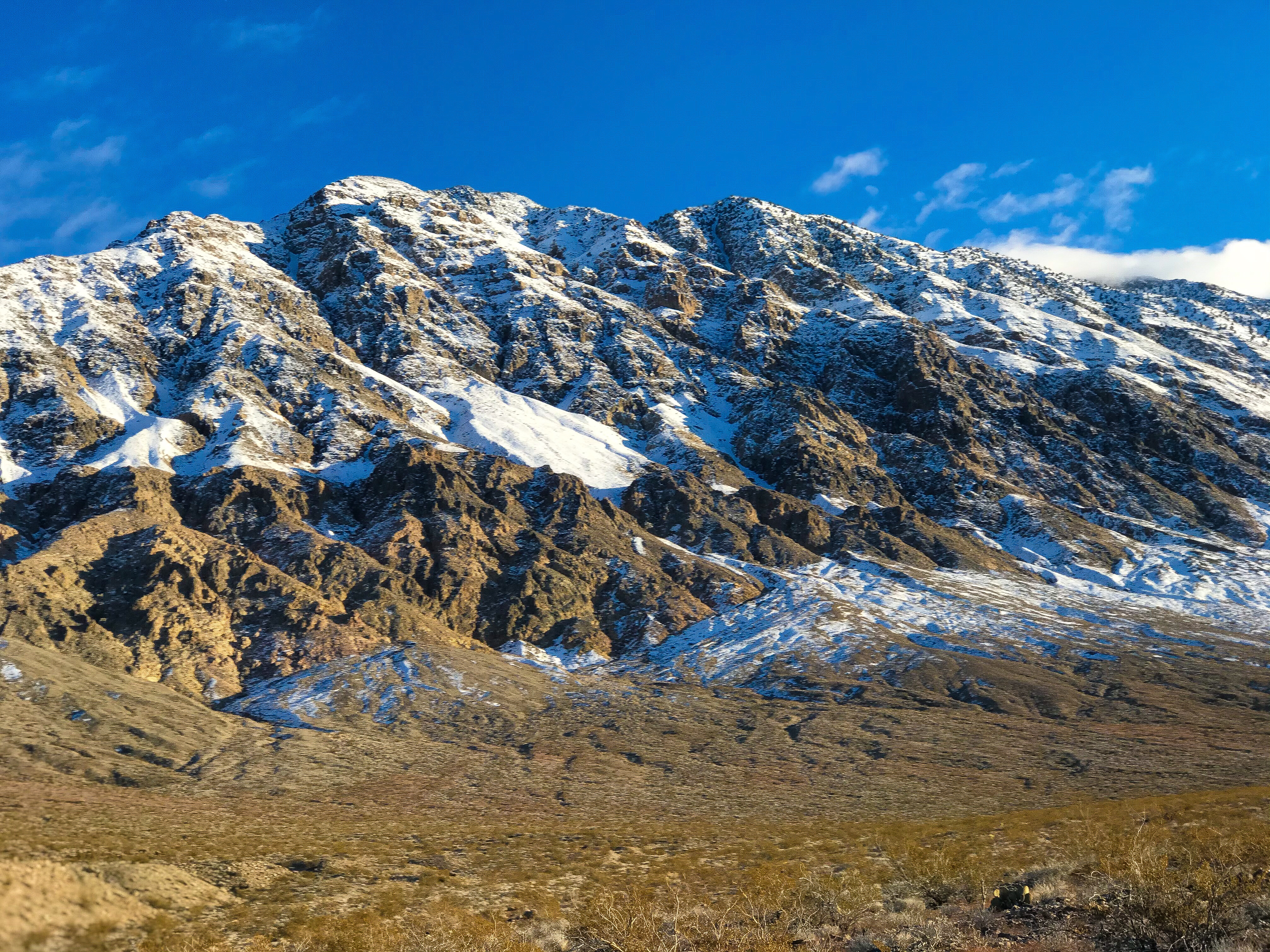
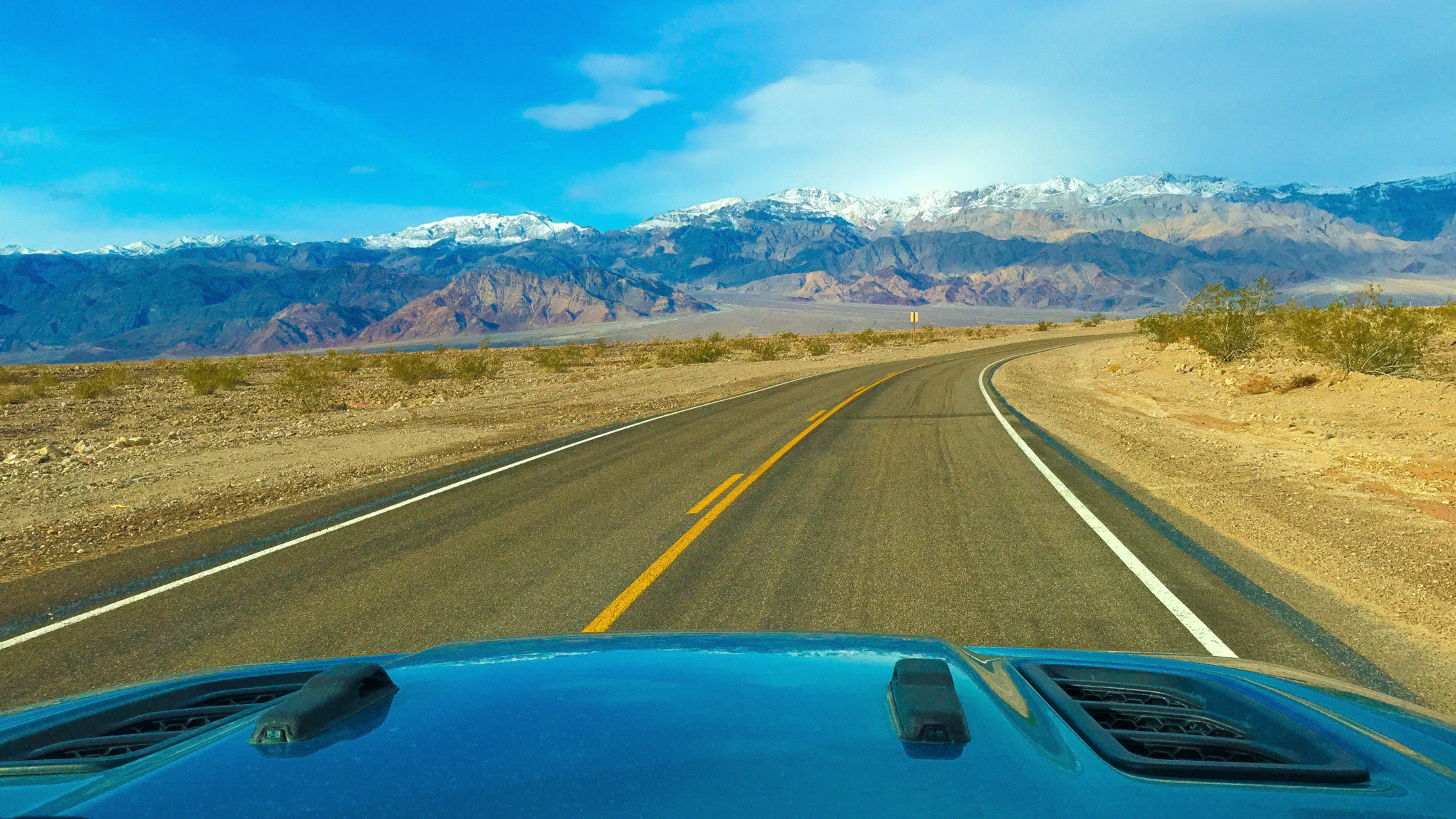
I suppose this is really more like “Night 1” since we got to Death Valley around 4:30 p.m. PT after driving from Joshua Tree. There was a major accident on the highway, so we took the more scenic route up Panamint Valley Road (15 > 58 > 395 > 178) overlooking Telescope Peak, the highest peak in Death Valley.
On this trip, we’re on a hunt for Star Wars filming locations, among other things, It seemed to only make sense to swing by Father Crowley’s Vista for a short hike as the sun was setting – it didn’t disappoint, but it was very windy (literally almost knocking me over!). Getting a first view of the valley floor and the surrounding mountains as the sun set behind Telescope Peak was incredible start to our trip to Death Valley.
Day 2
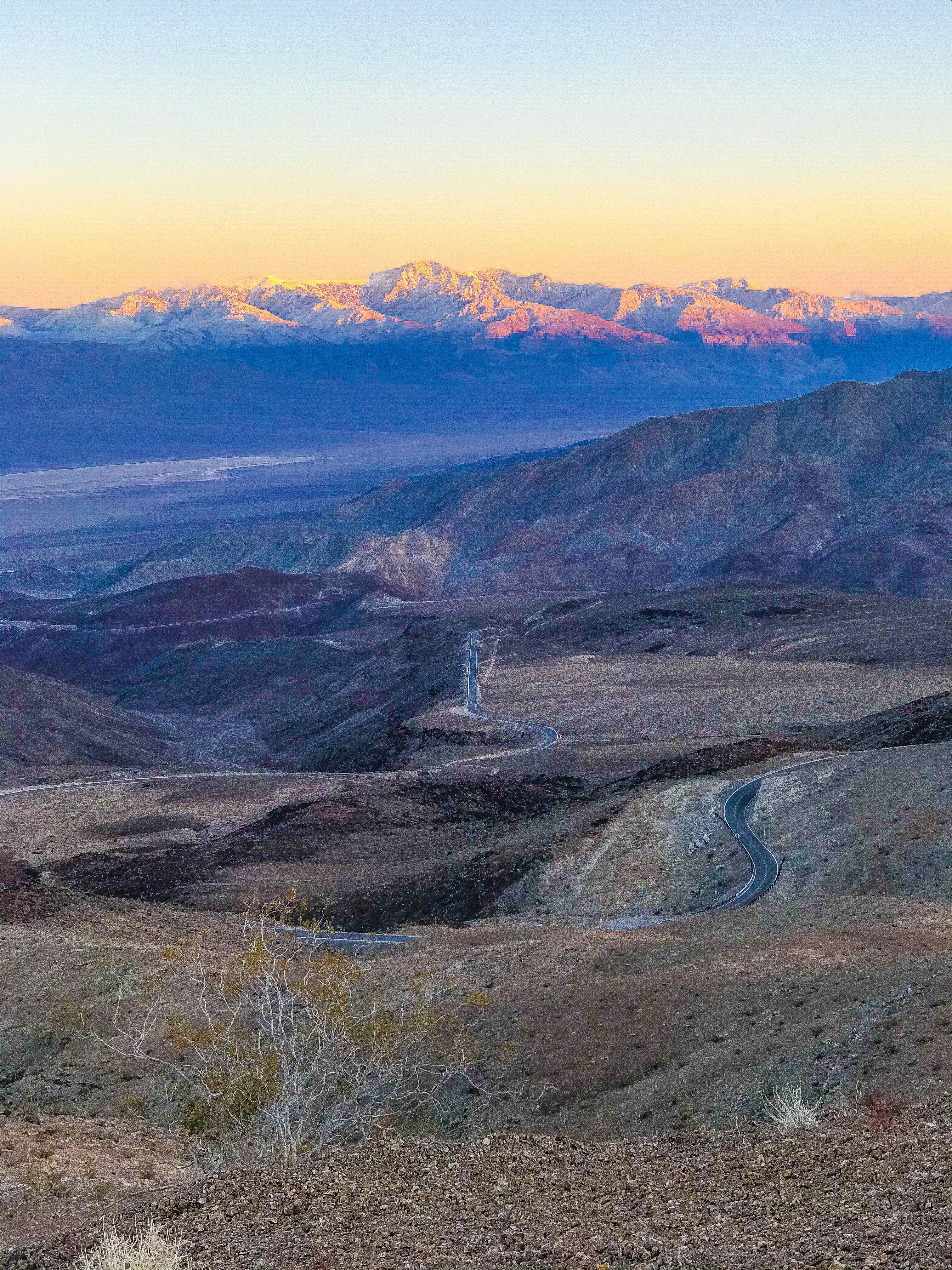
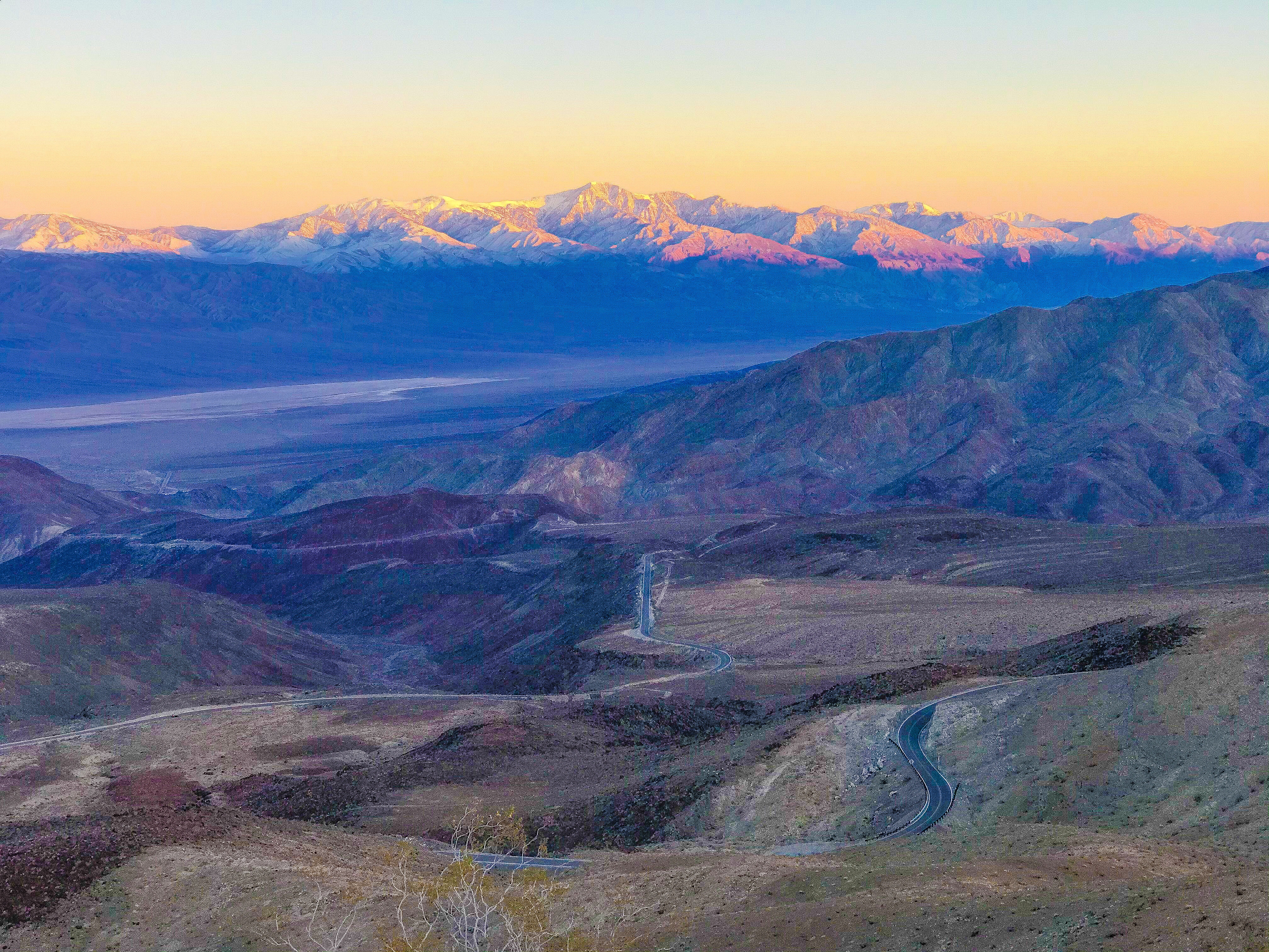
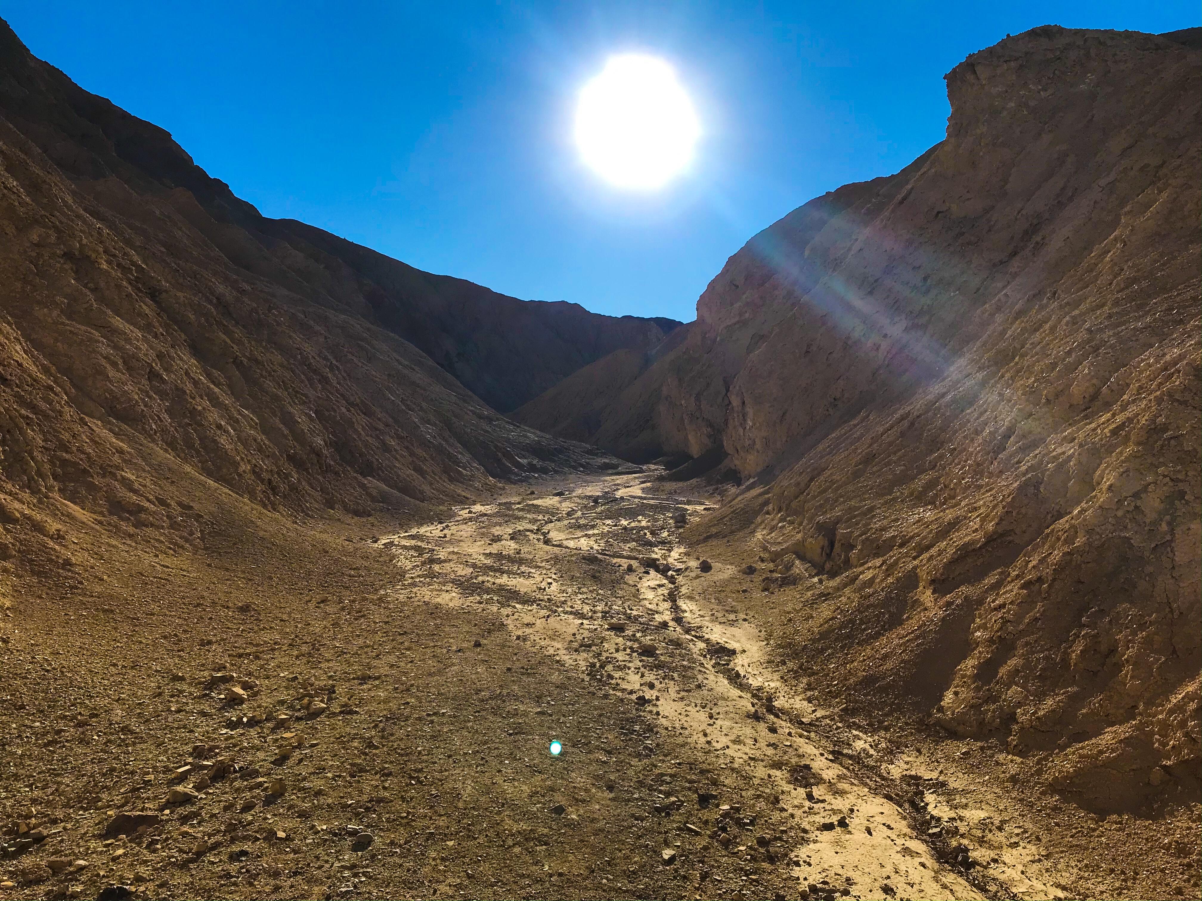
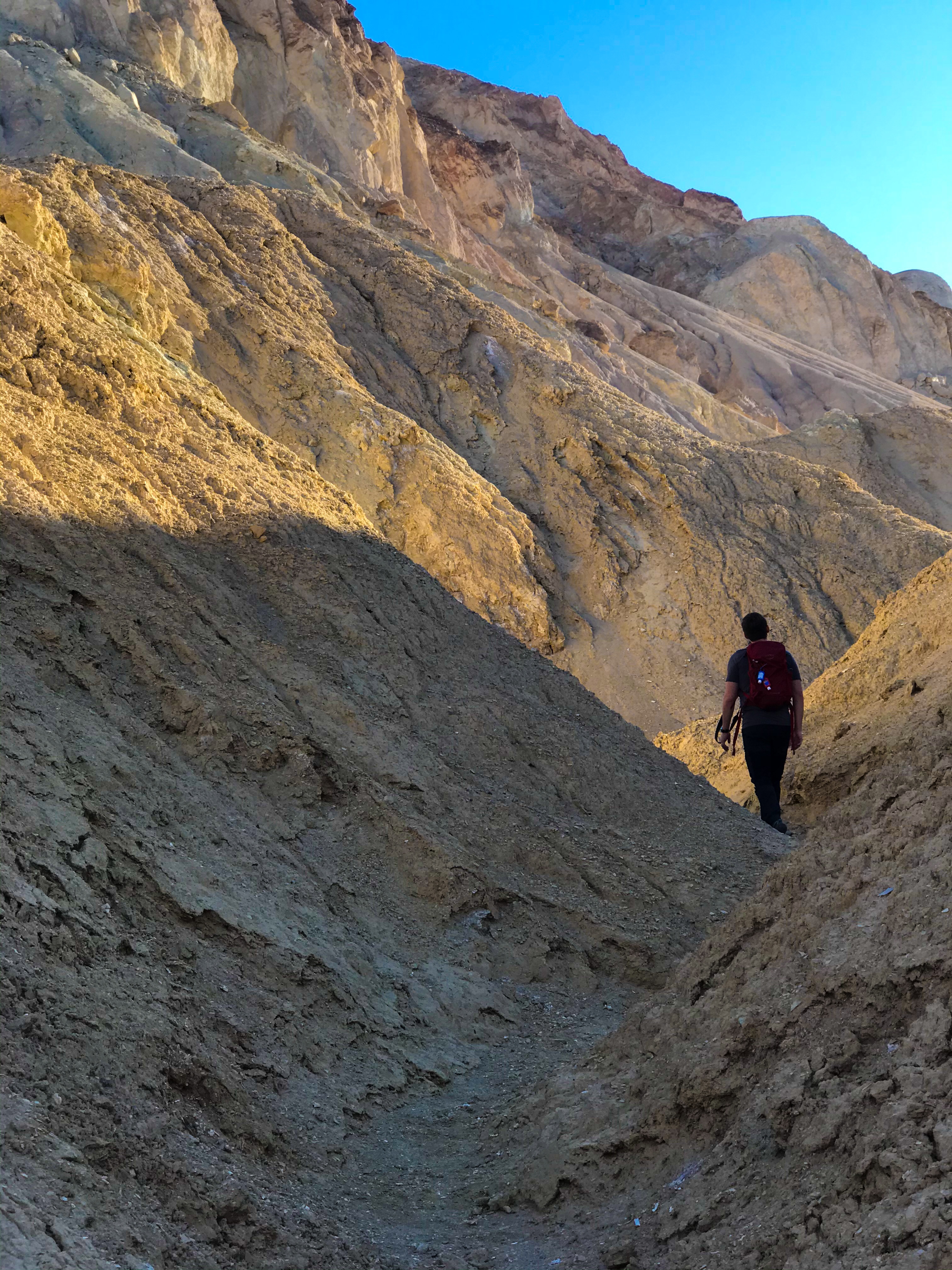
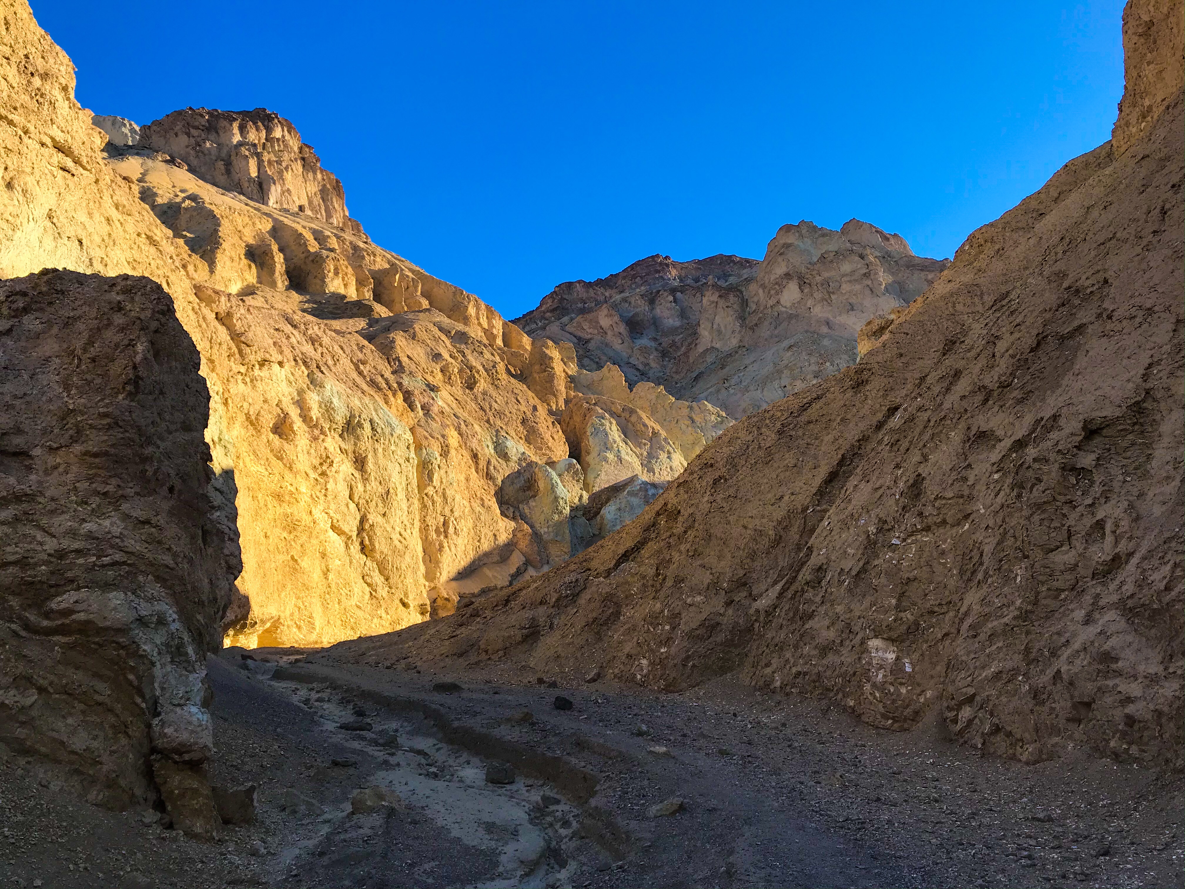
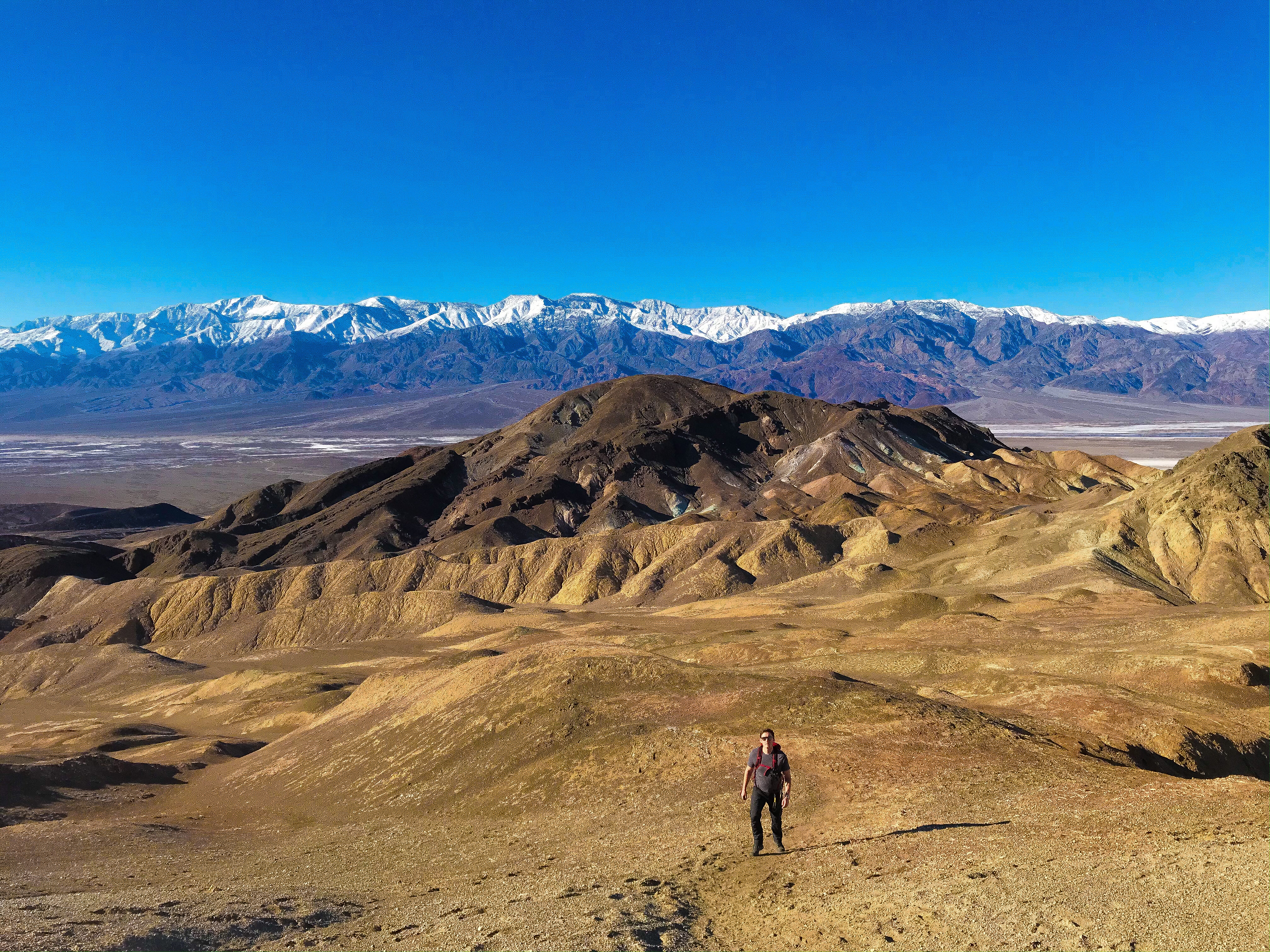
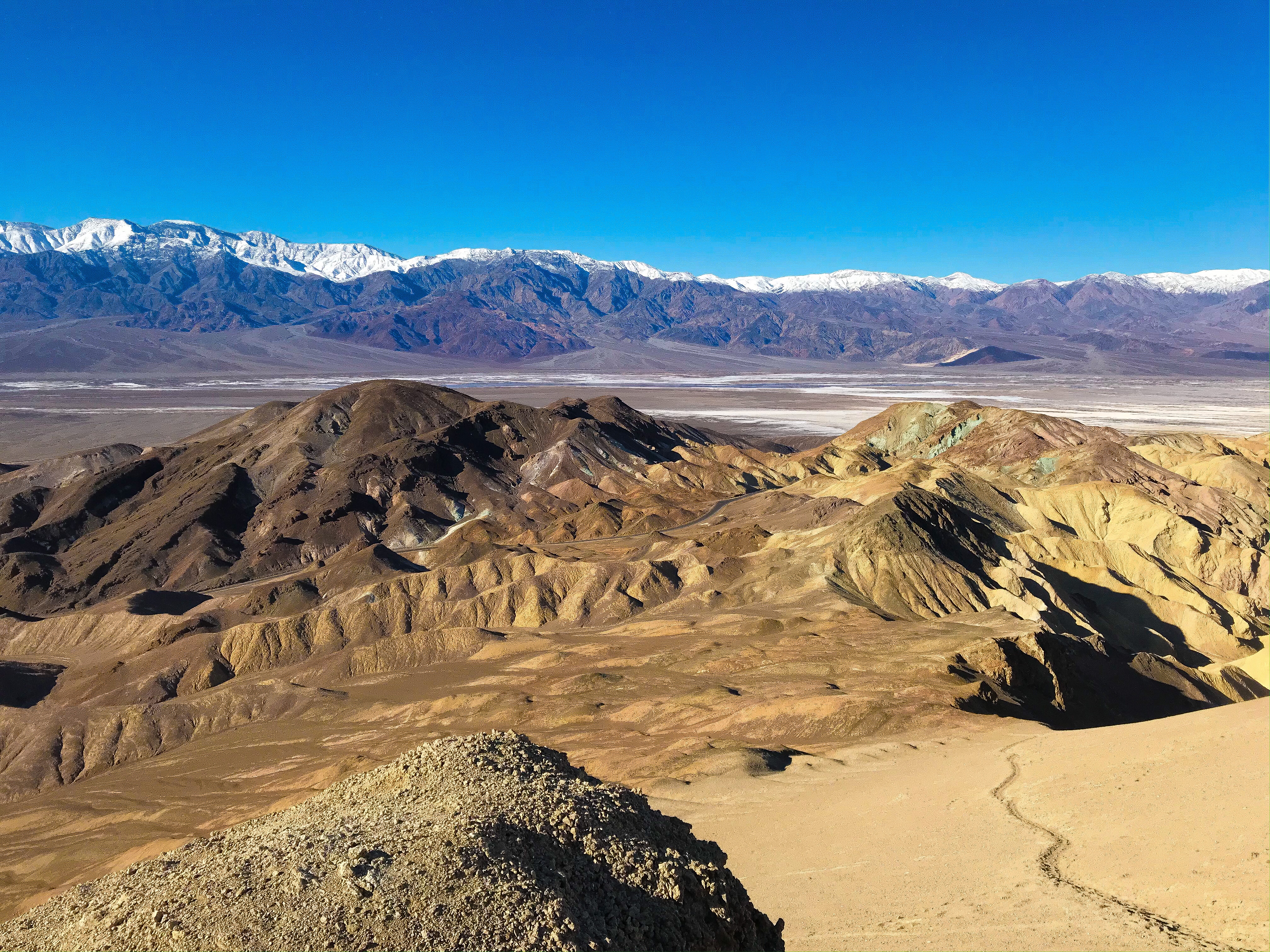
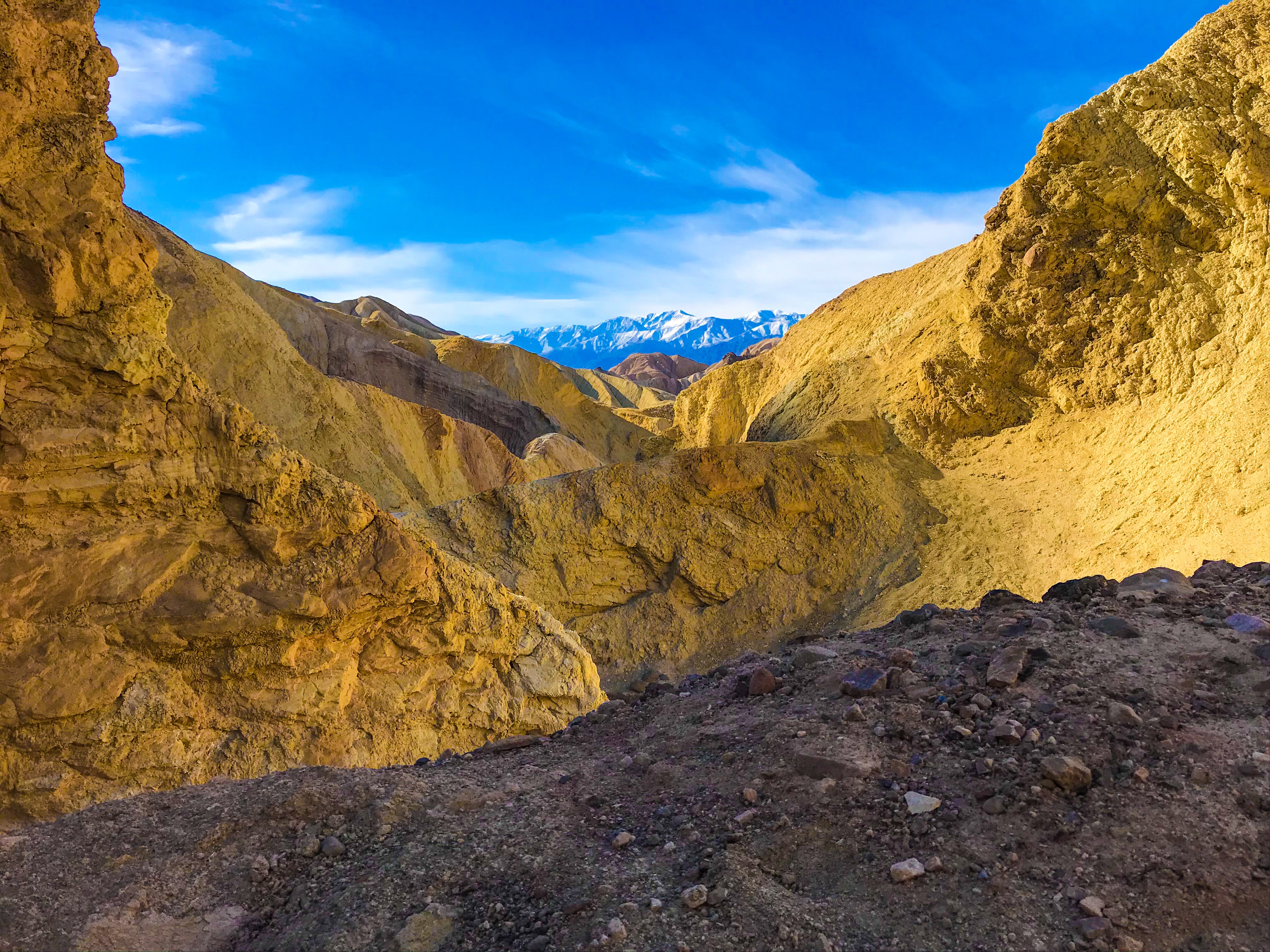
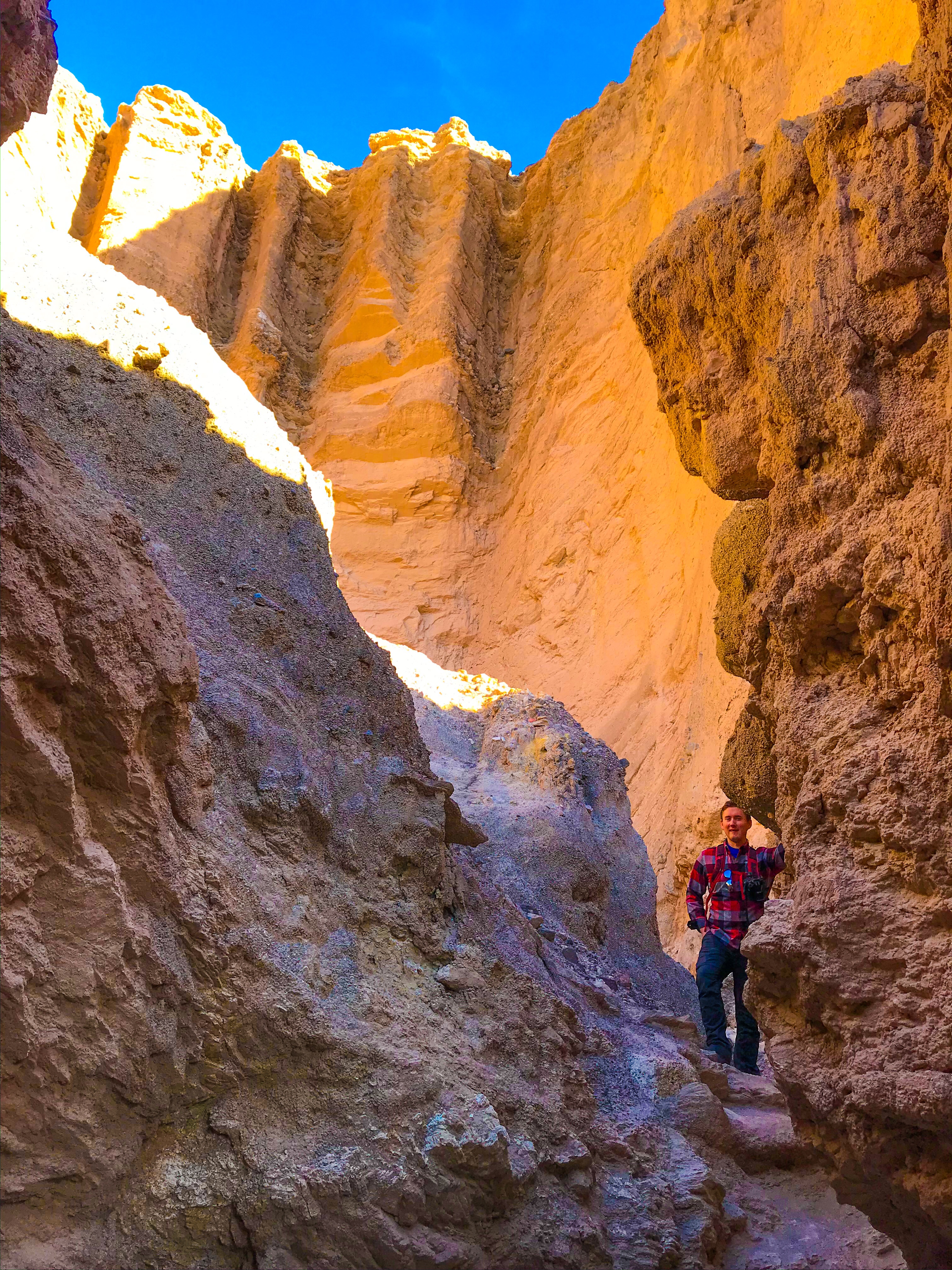
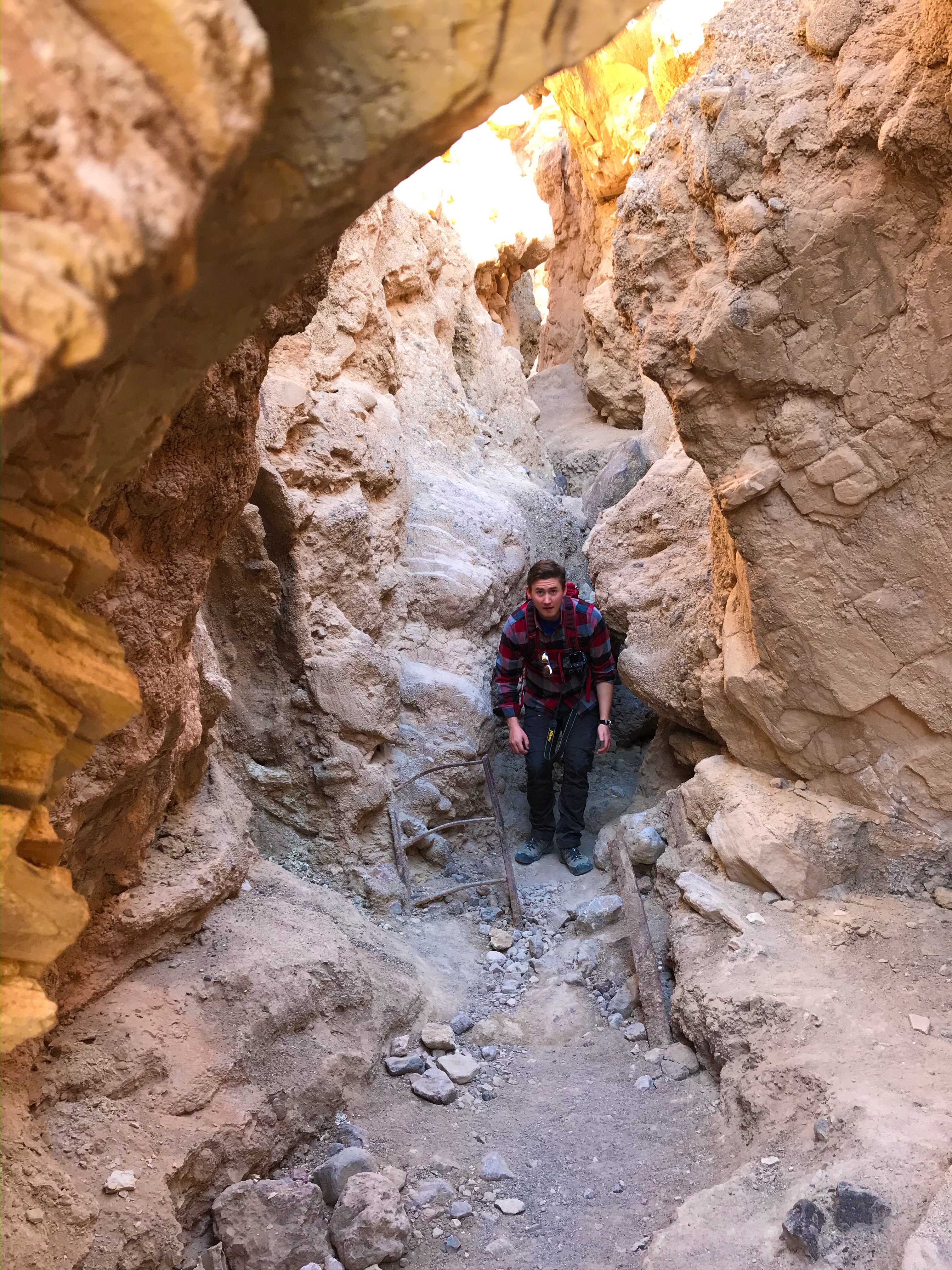
Desolation Canyon
Our first big hike of the trip, we went hunting for Star Wars filming locations in this windy, curving, canyon trail.
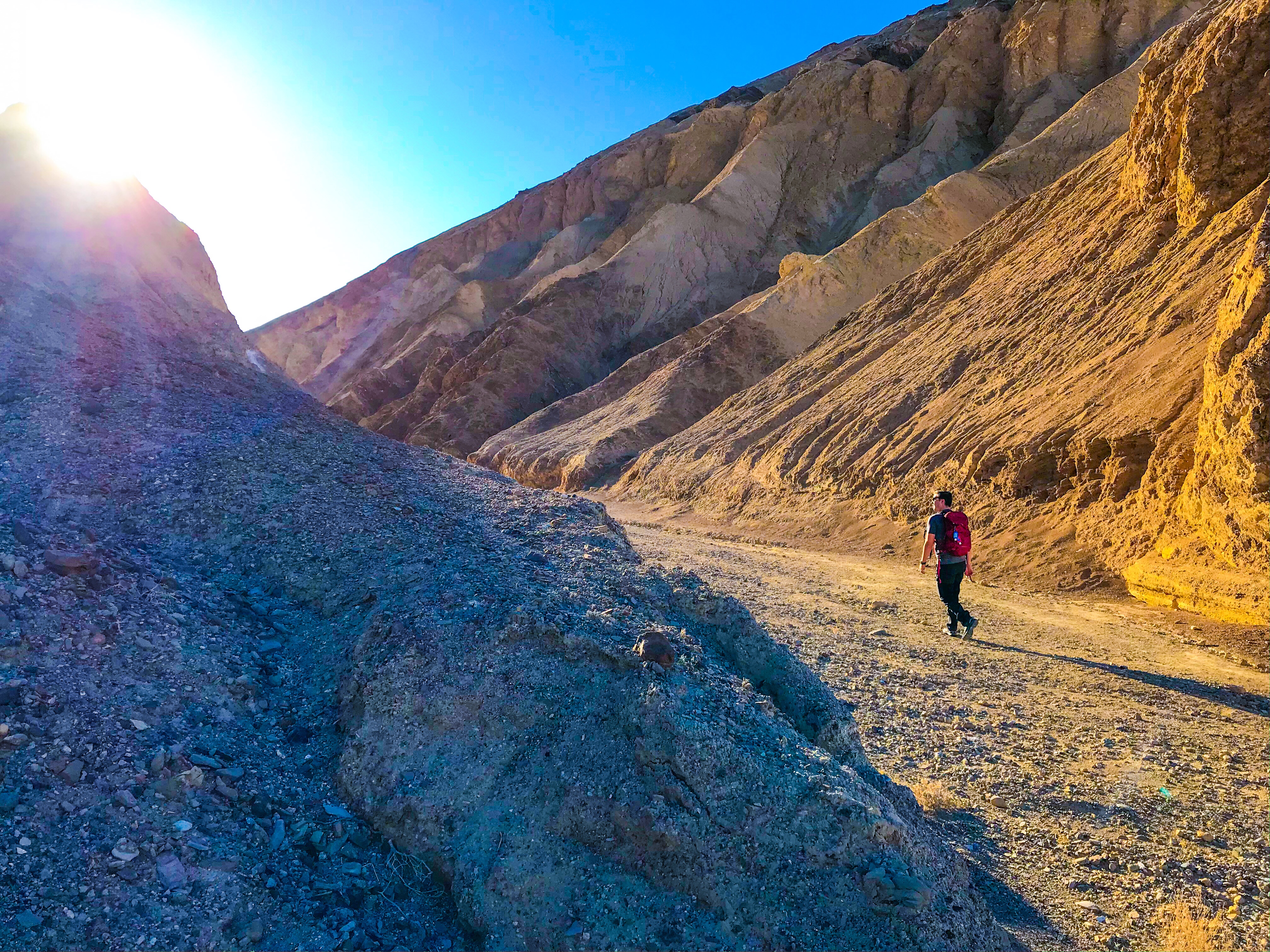
The landscape was unreal – this was our first actual hike in Death Valley, so in my excitement of everything being so new, we practically ran through the trails. It was really obvious where the trail was, but it was clear that others who came before us had trekked up the rocky and sometimes clay-looking walls of the canyon to explore off the beaten path.
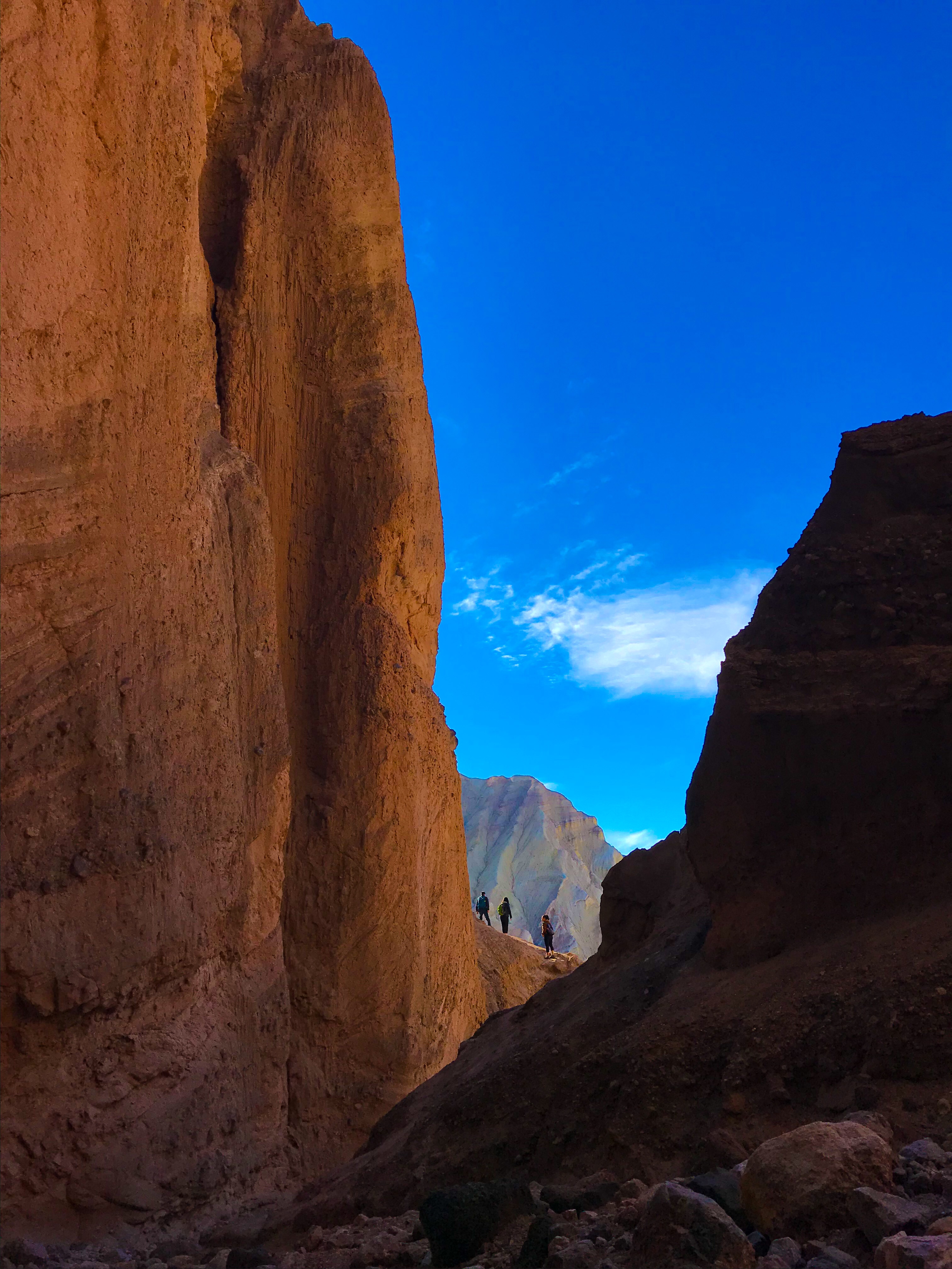
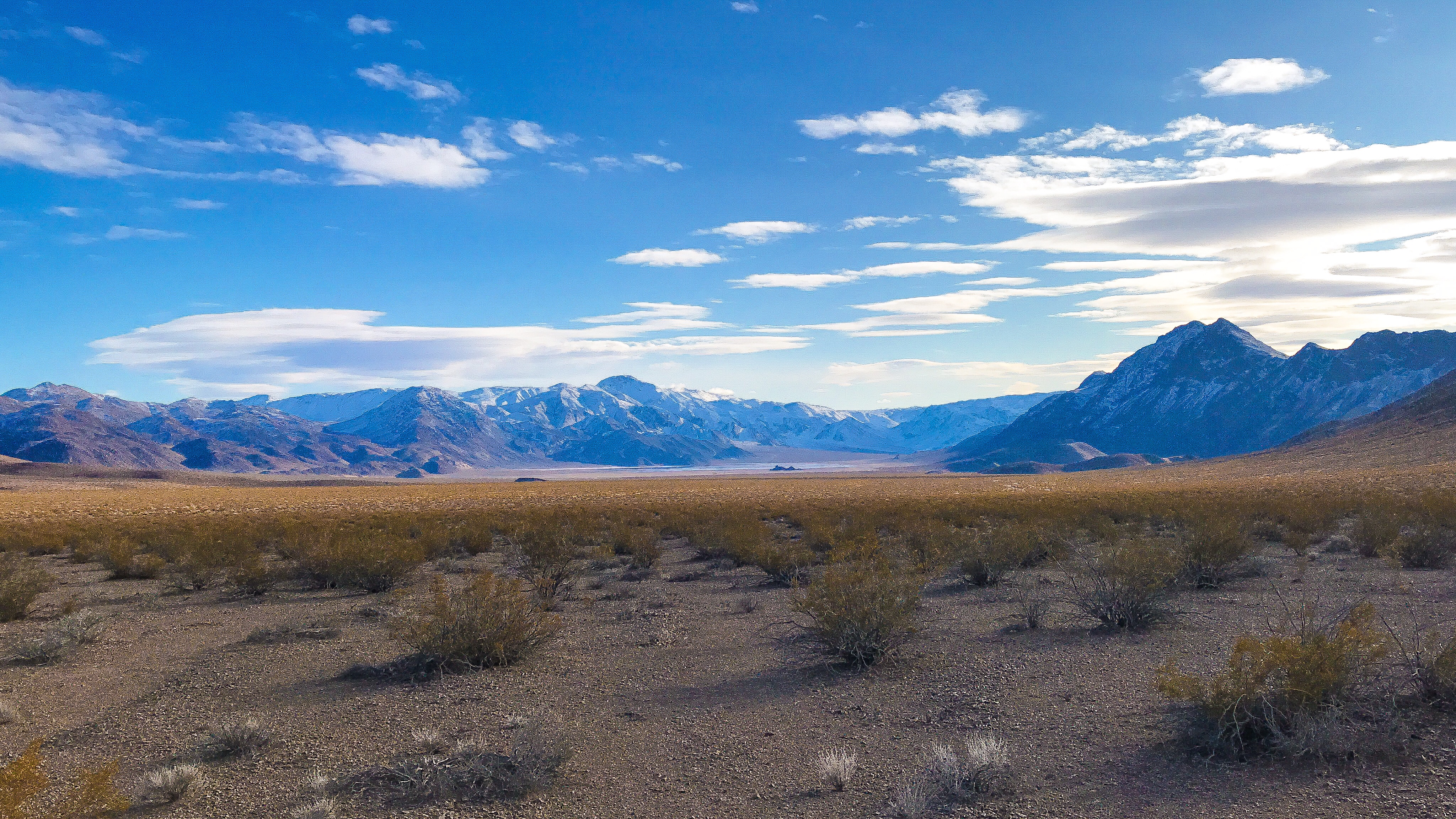
The view from the top was a breathtaking vista of Telescope Peak, Badwater Basin, and the valley below. There was a separate path that led up a sandy hill. We weren’t sure was a real trail, but it looked interesting, so we decided to go for it. It branched off in two directions – the trail to the left seemingly ended at a cliff, and the trail to the right was a strenuous uphill climb that only gave us a somewhat higher view. It was fine, but not you’ll feel like you missed out on if you go.
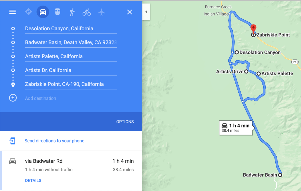
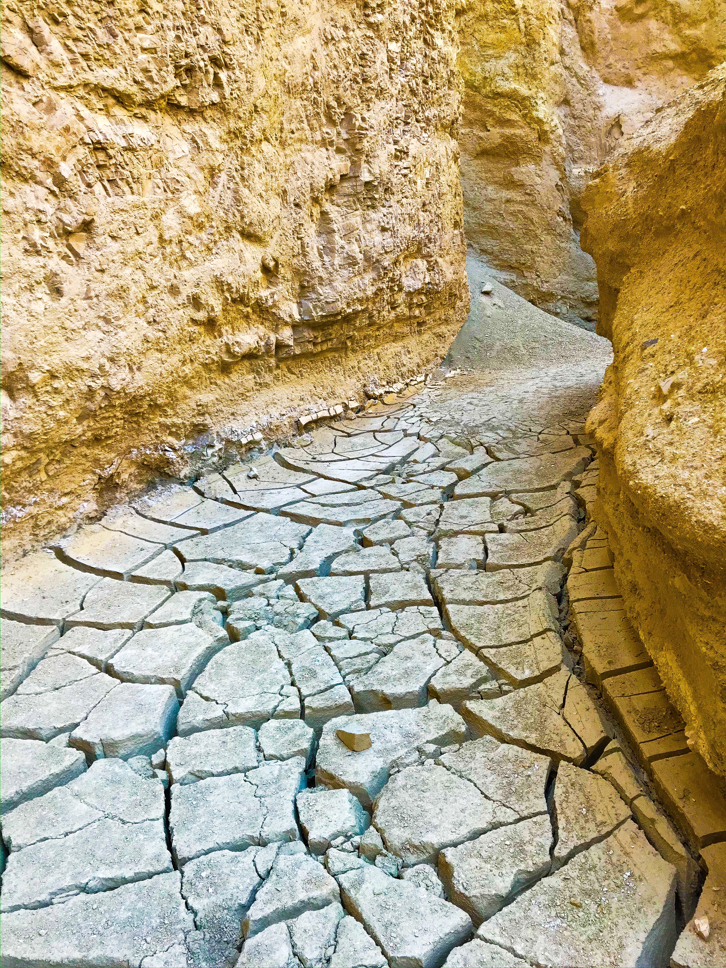
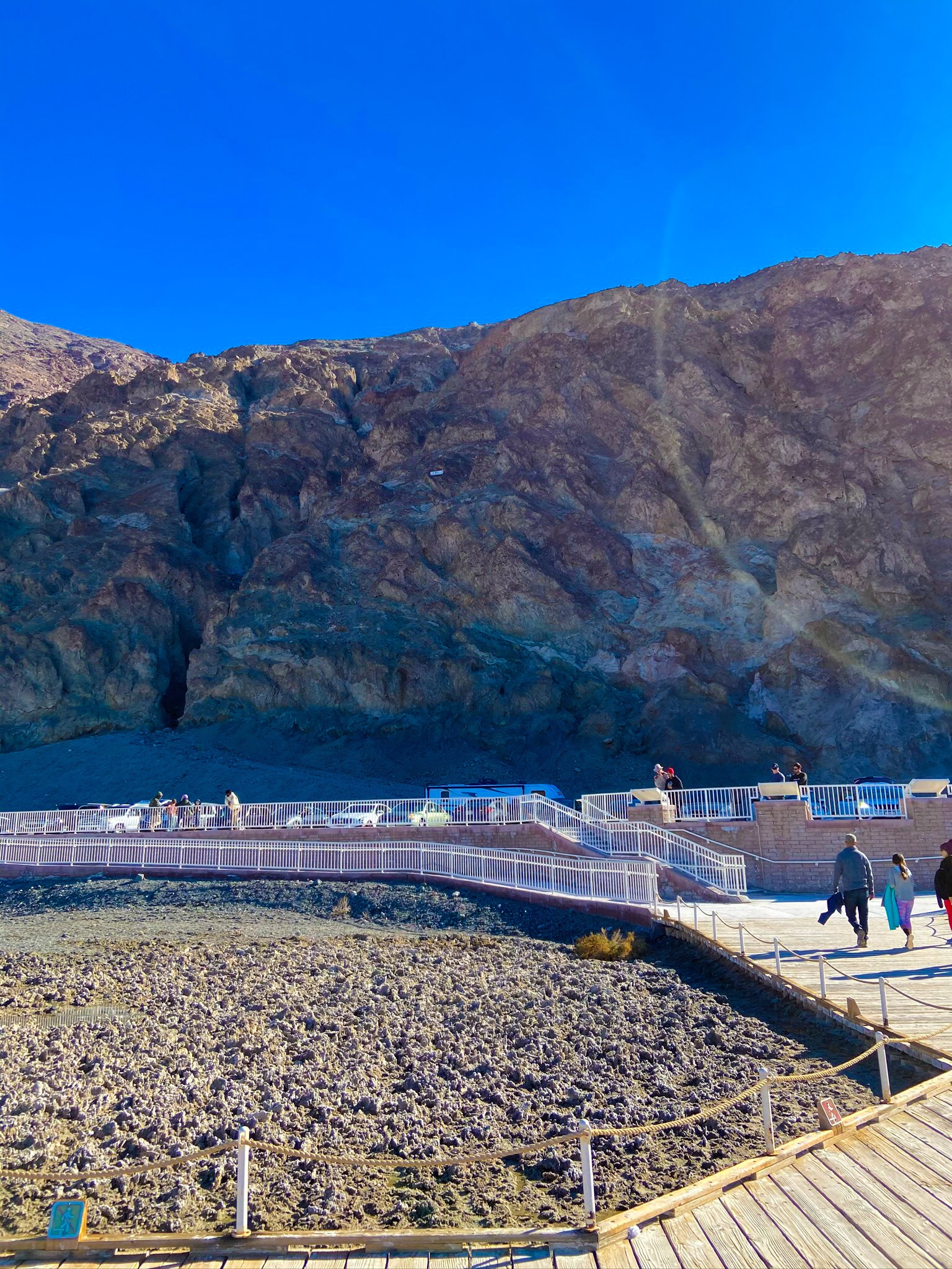
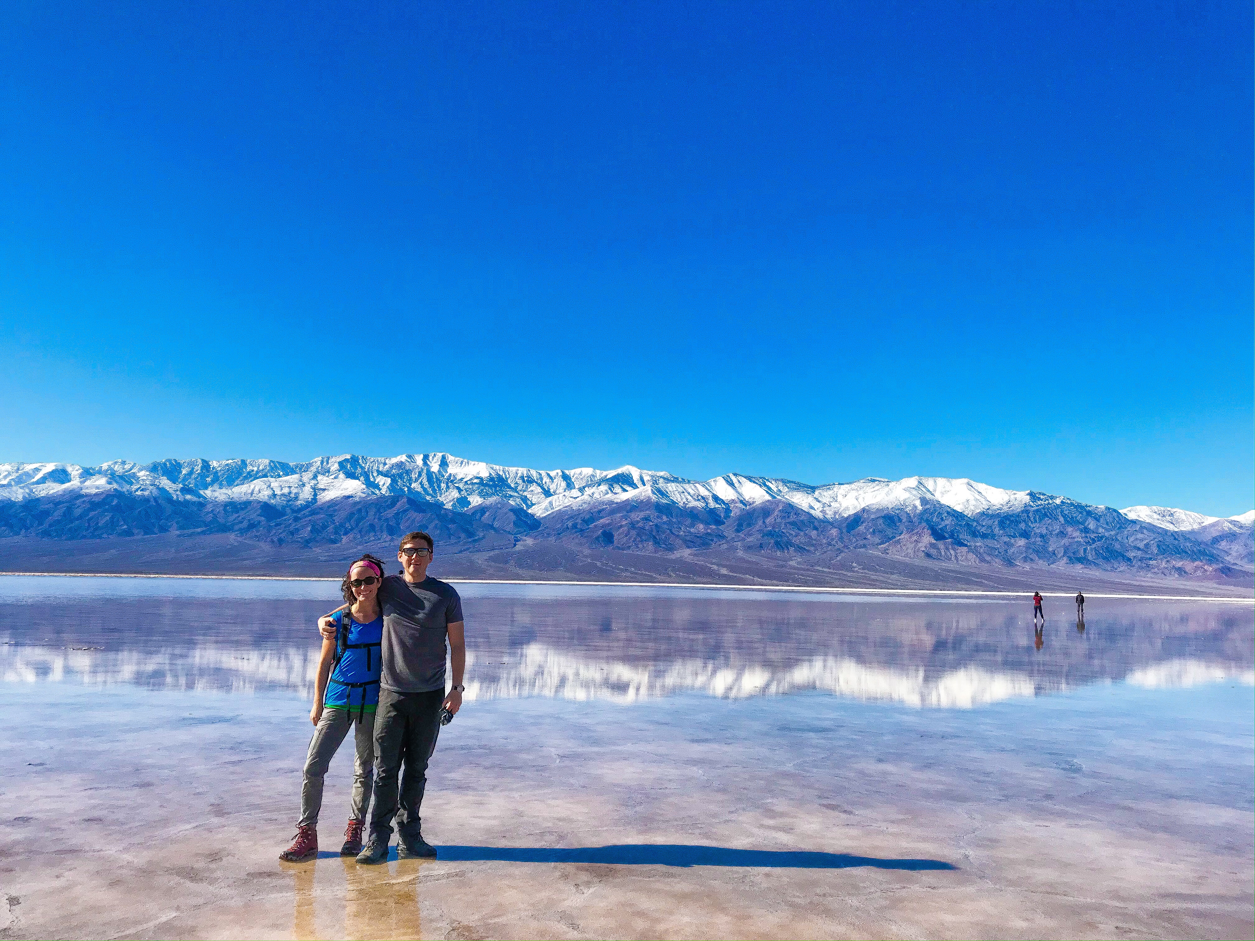
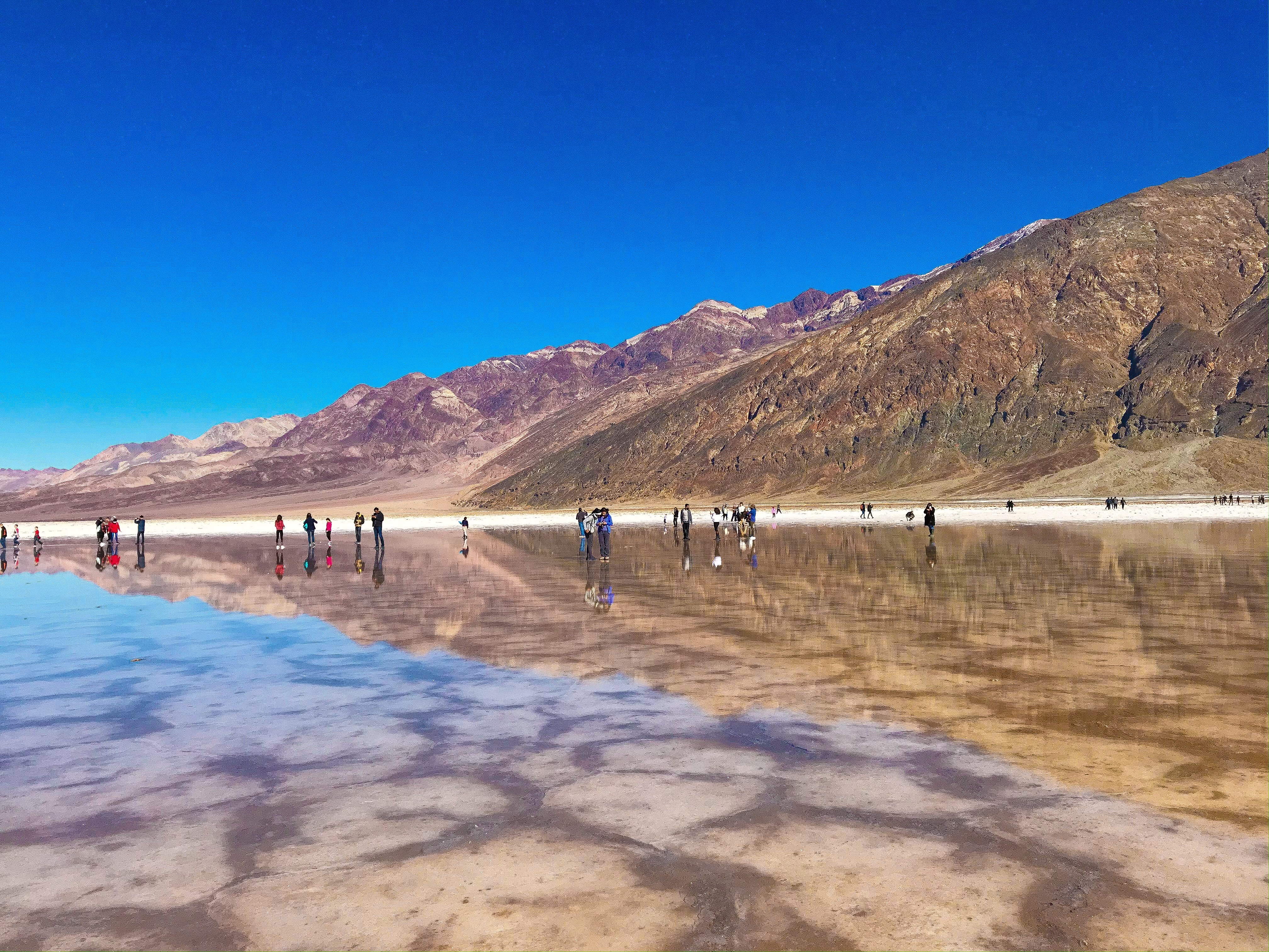
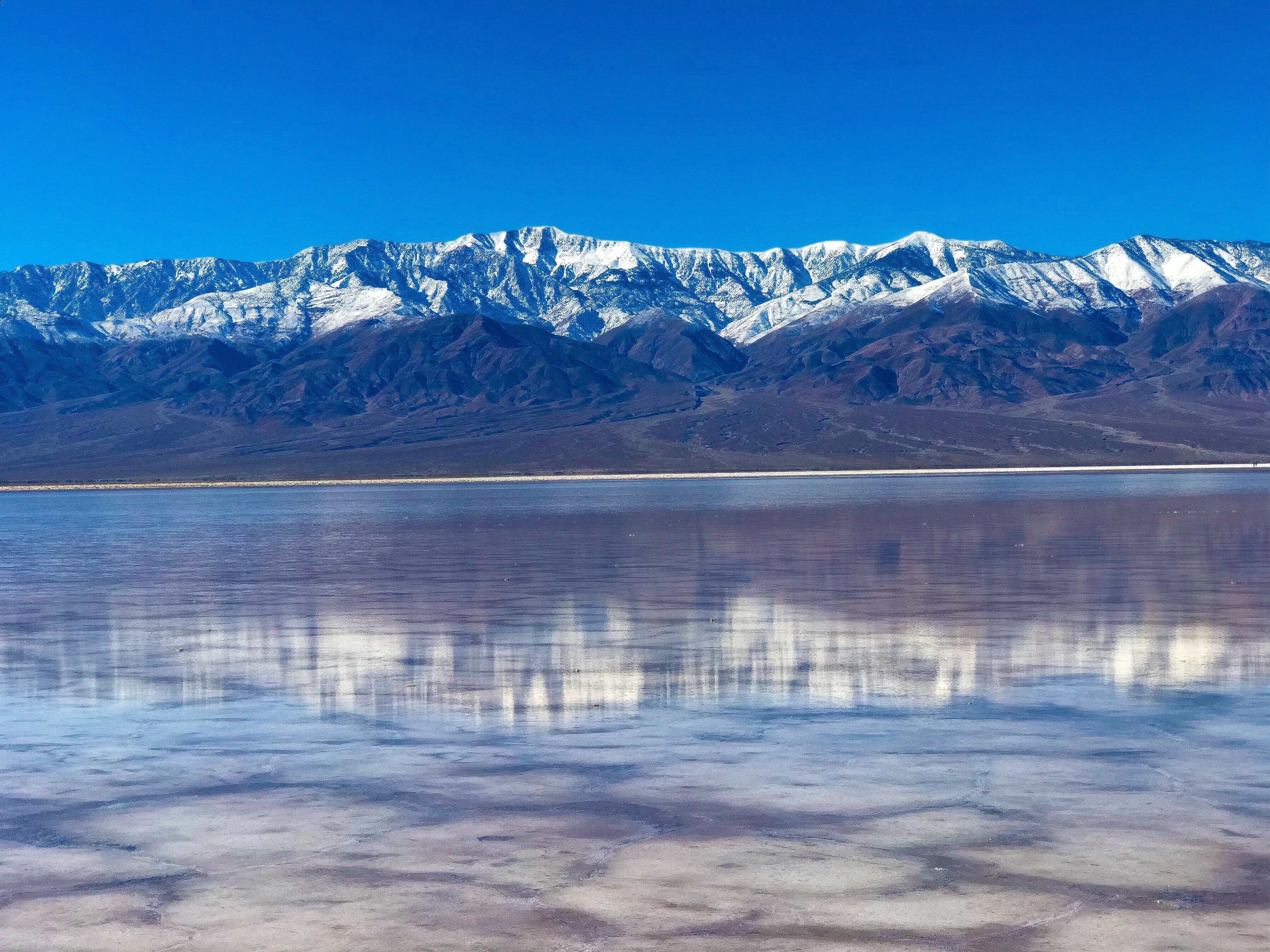
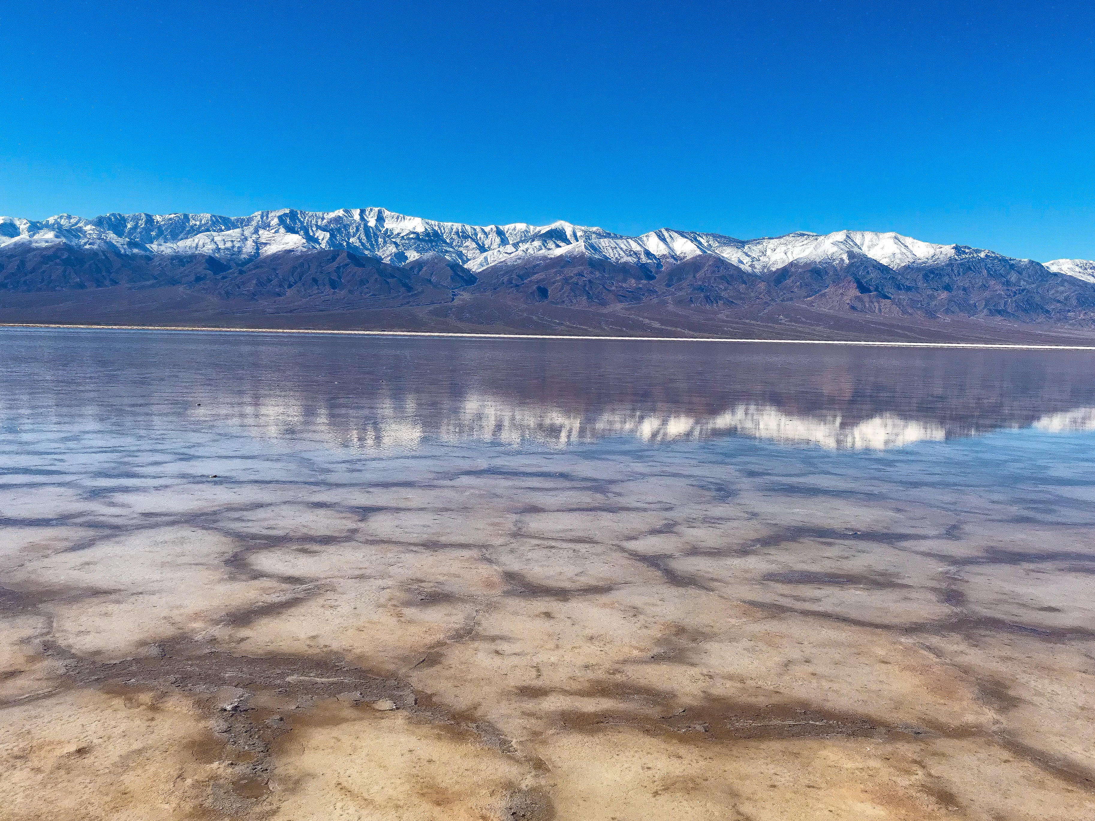
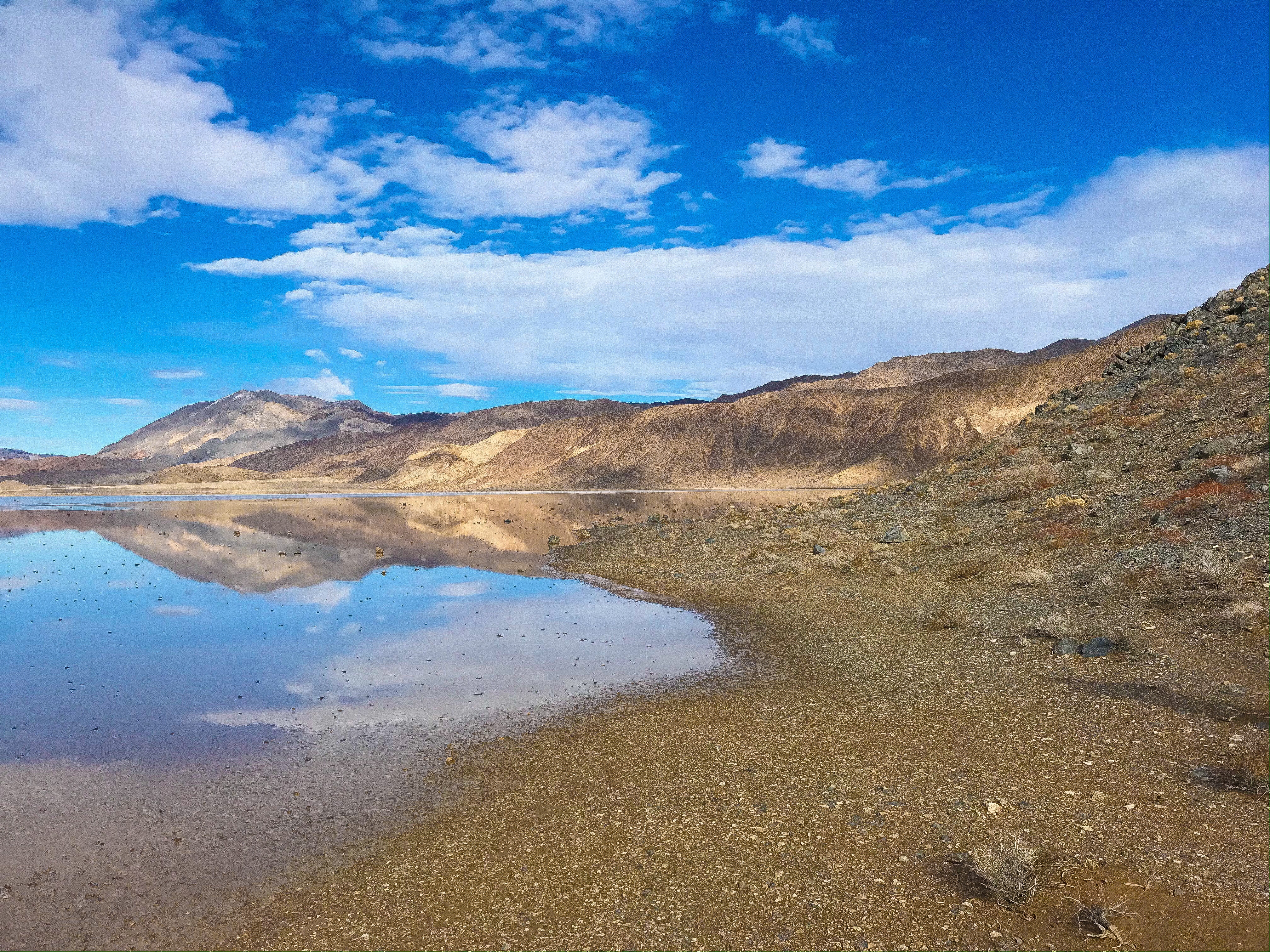
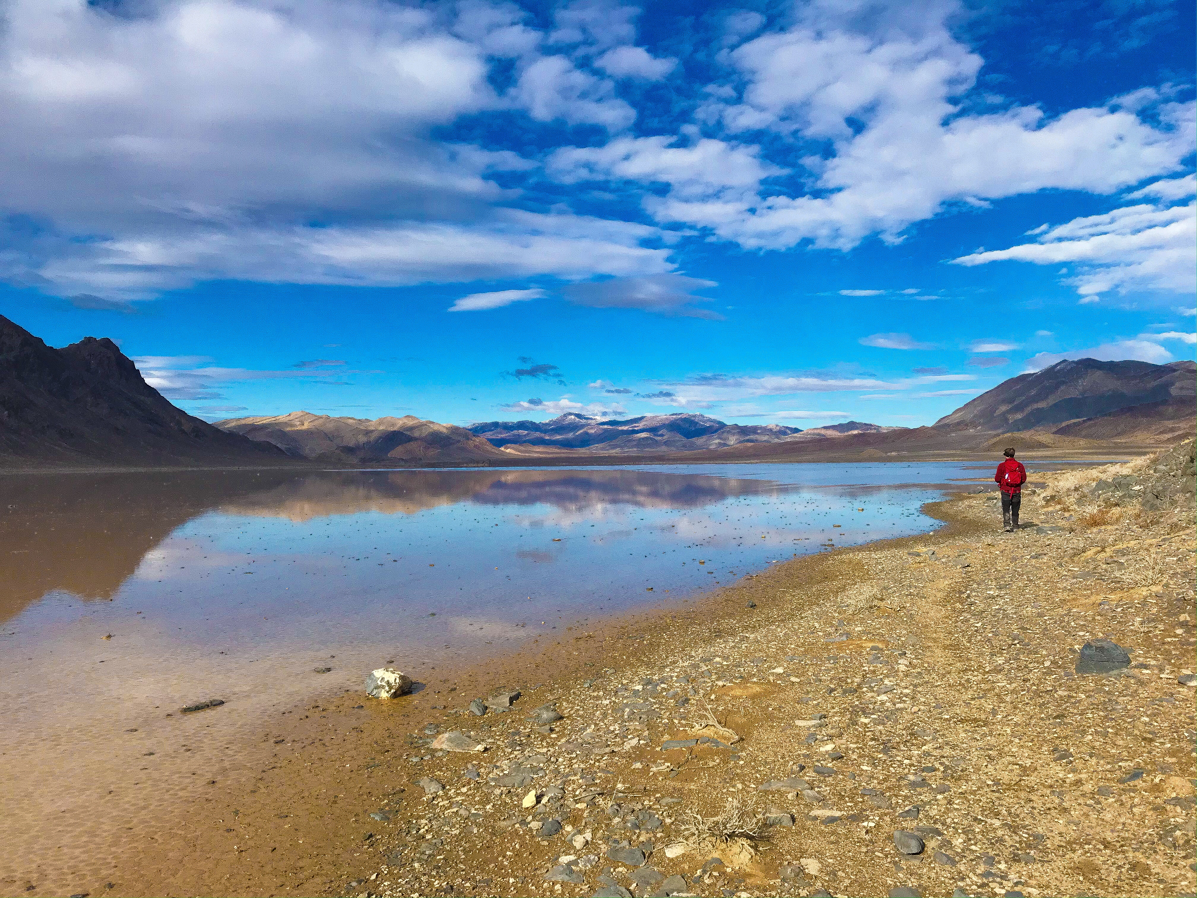
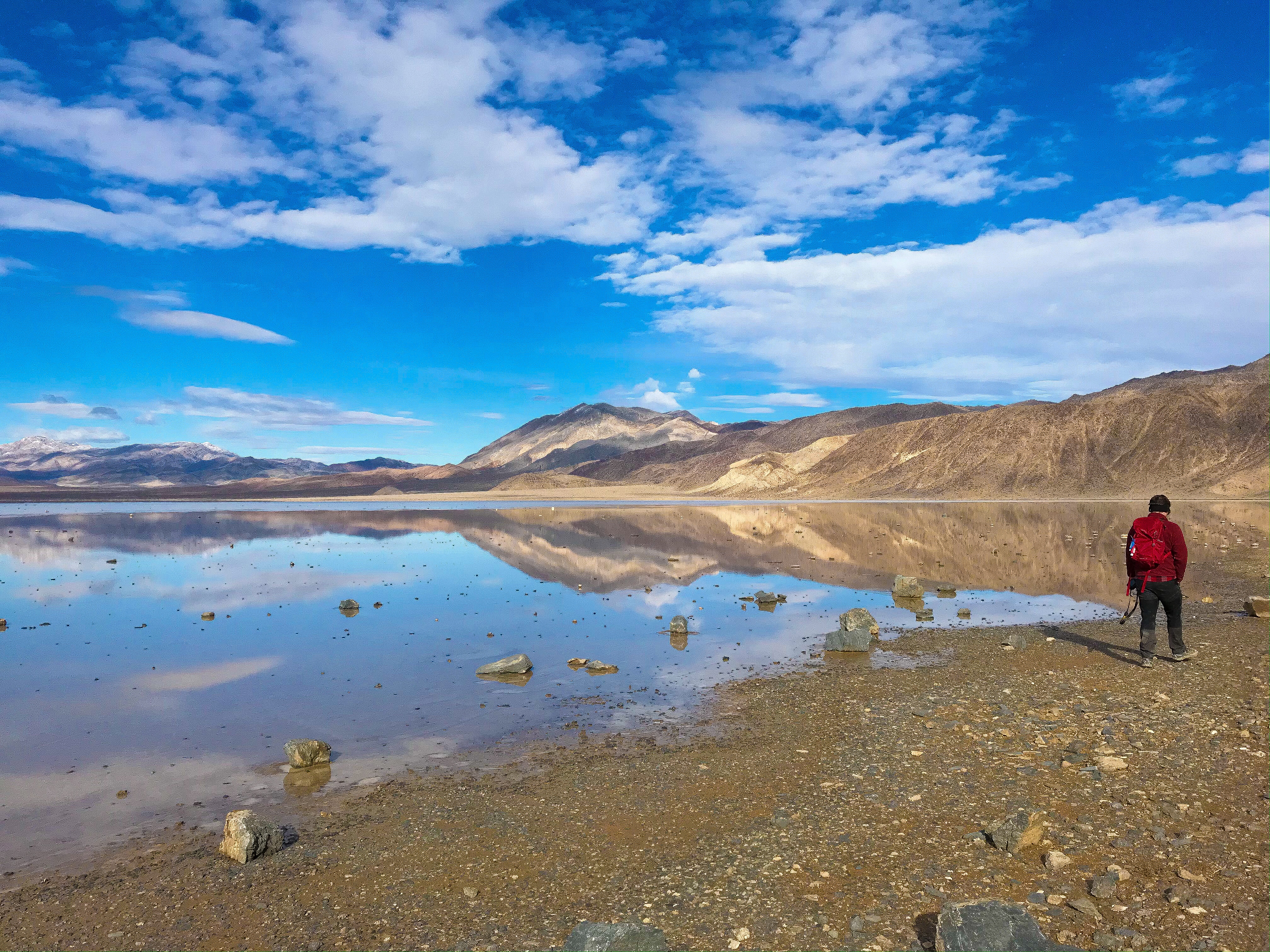
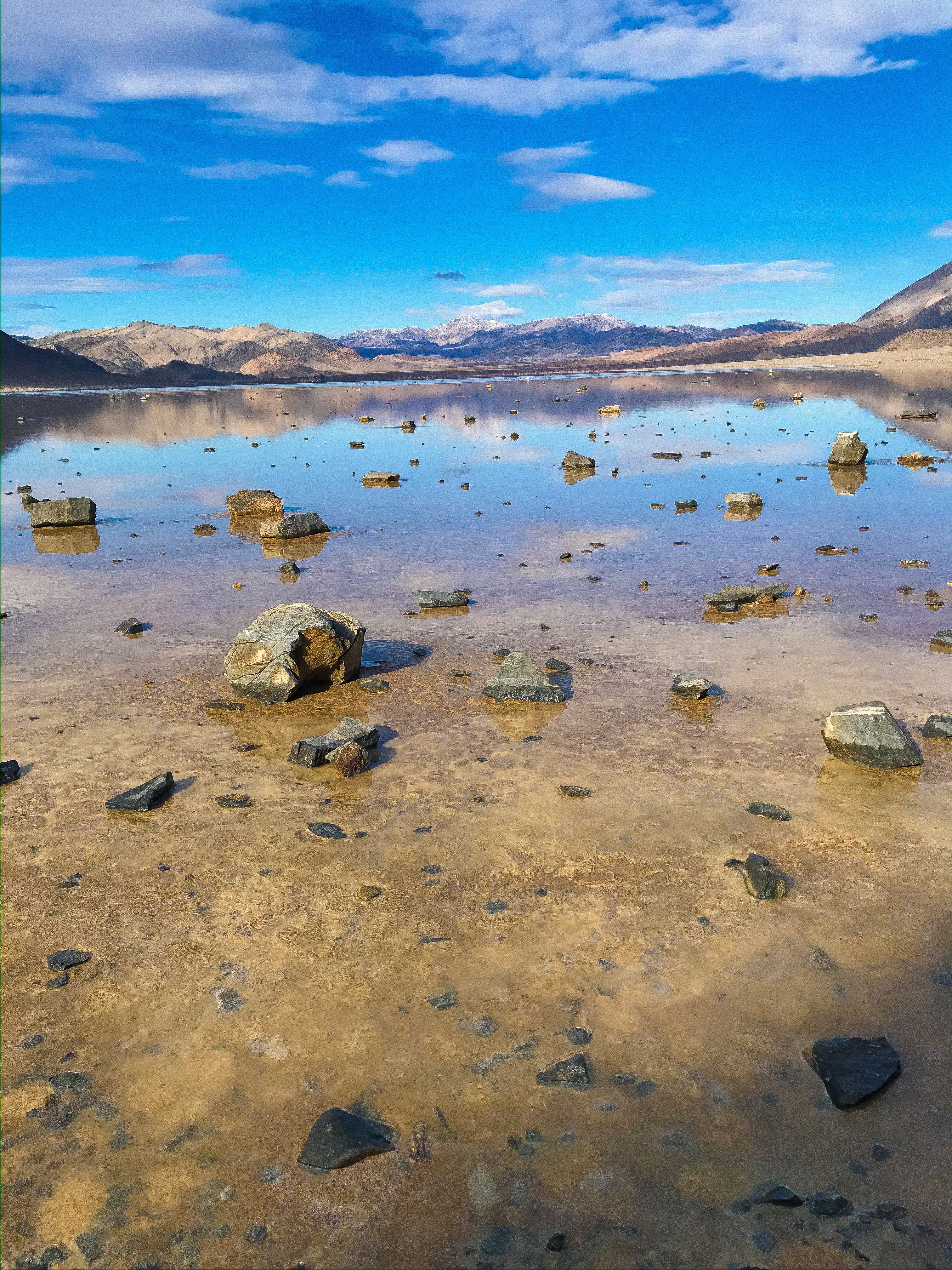
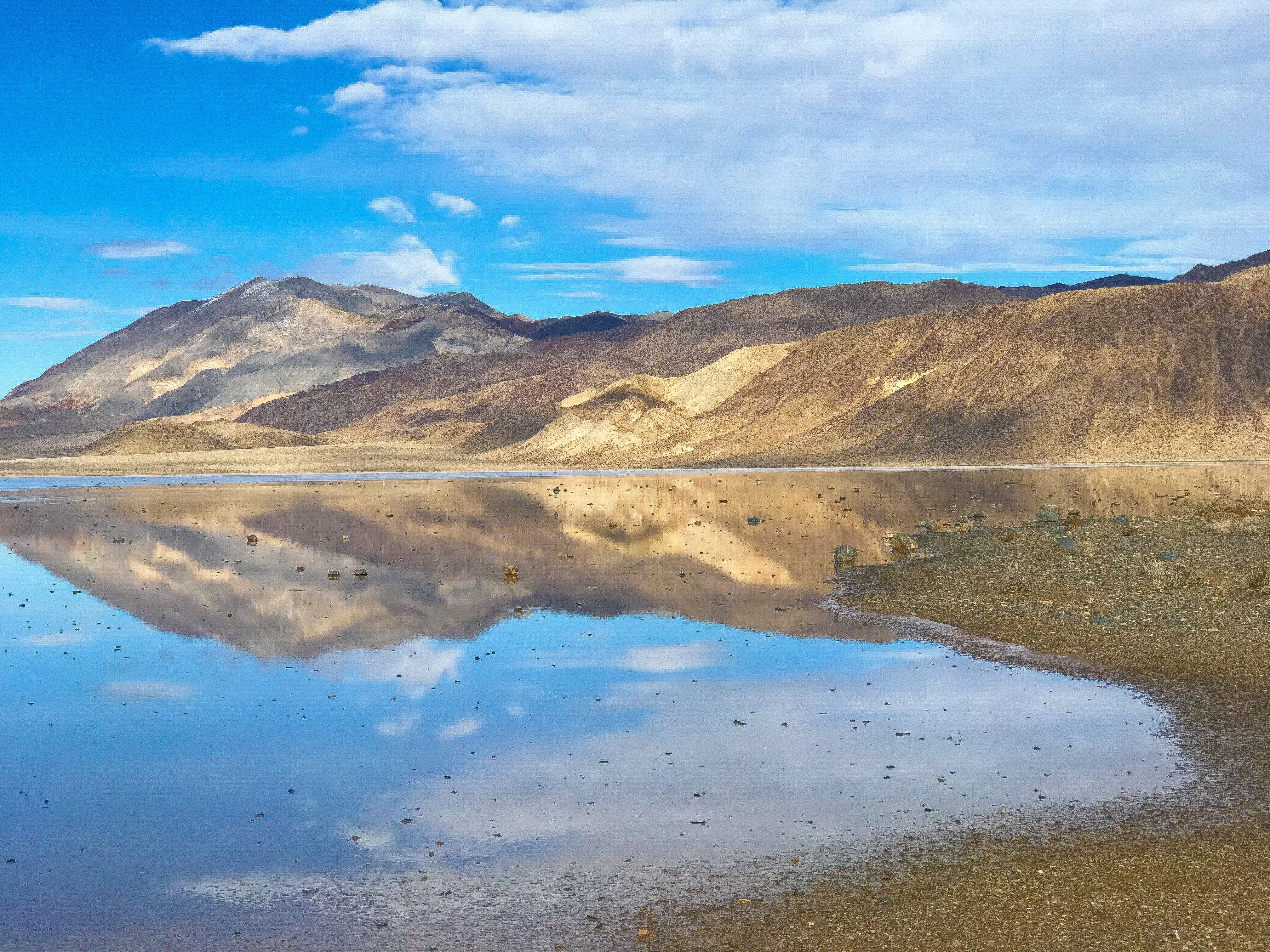
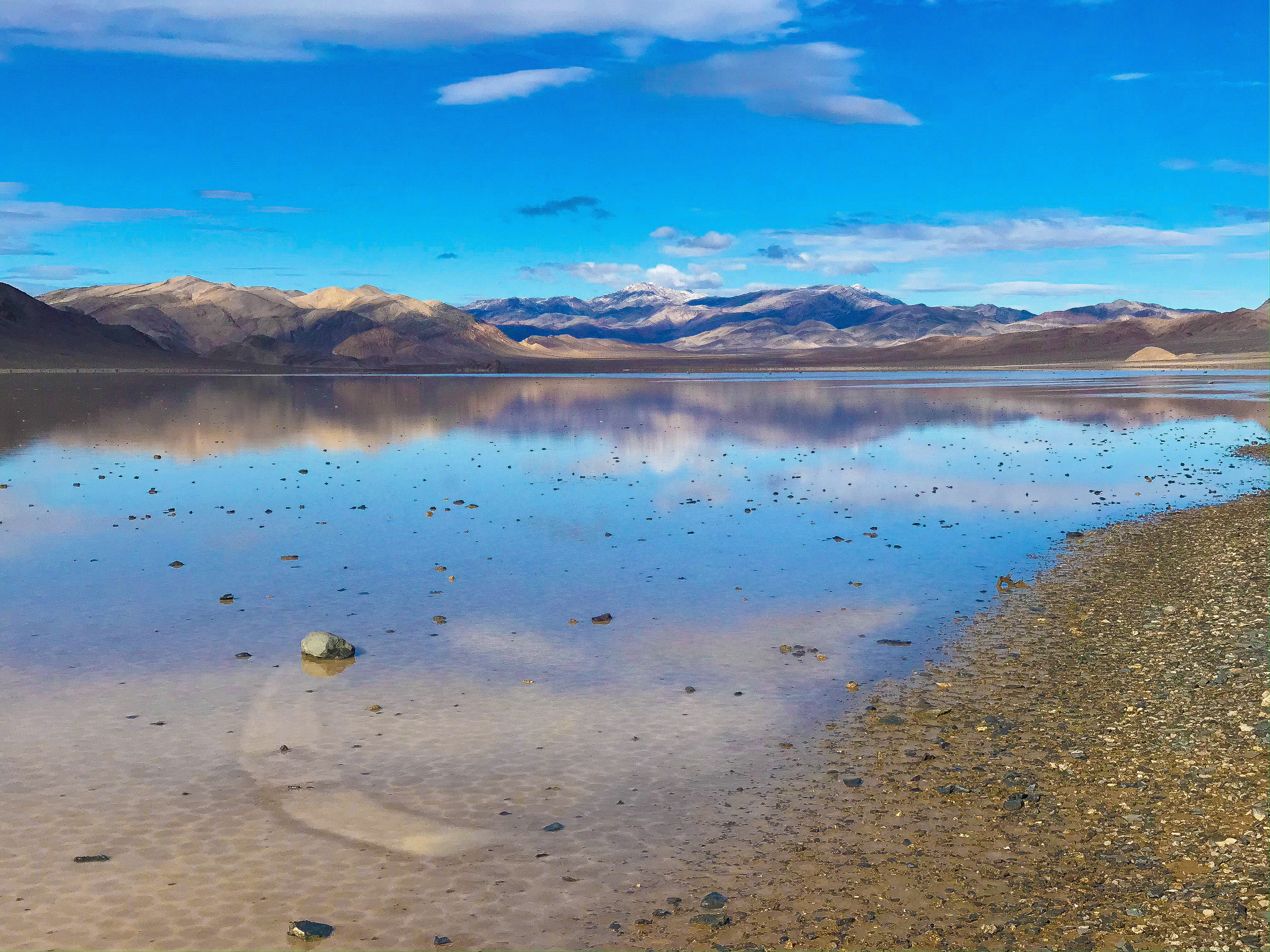
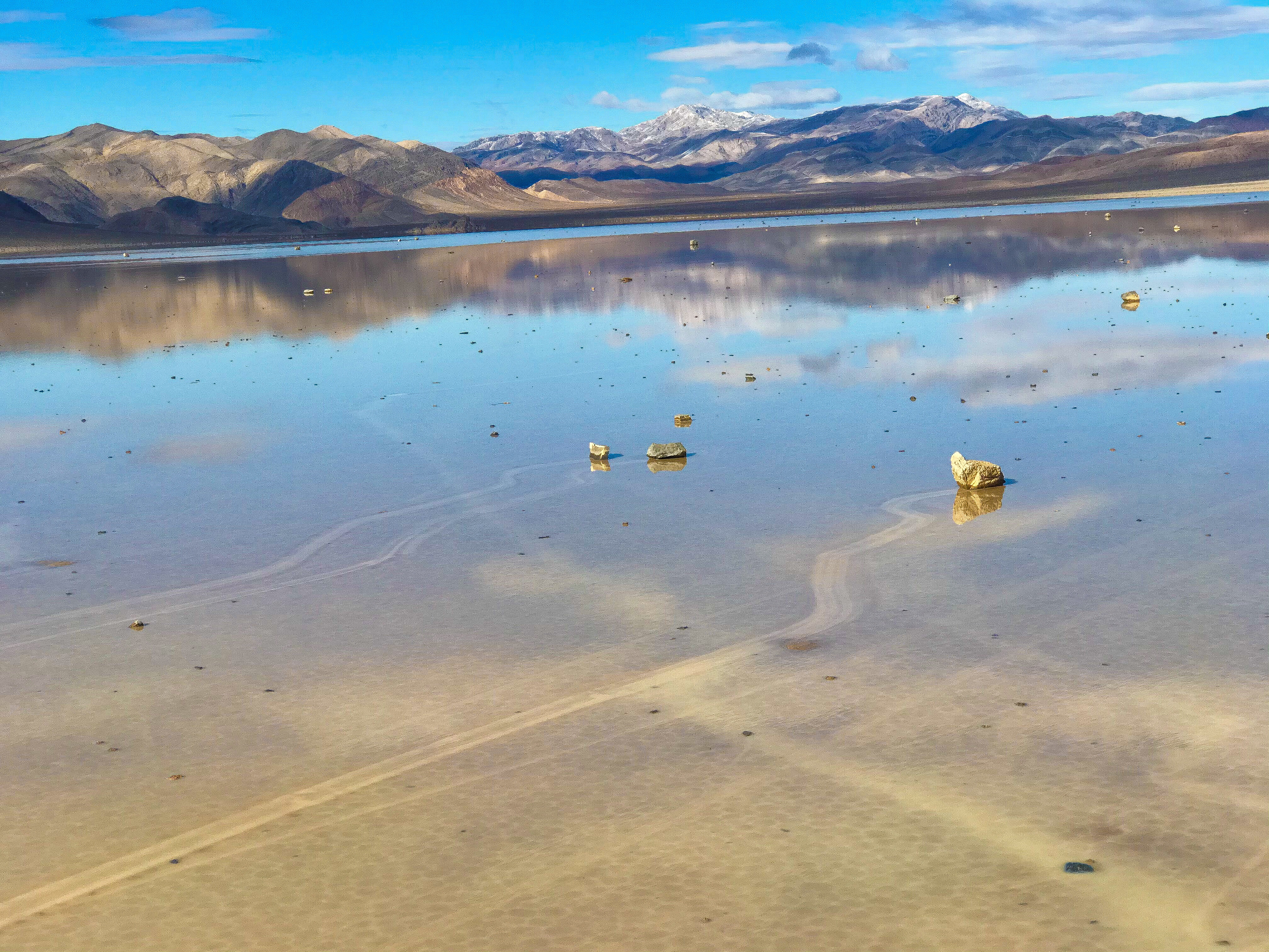
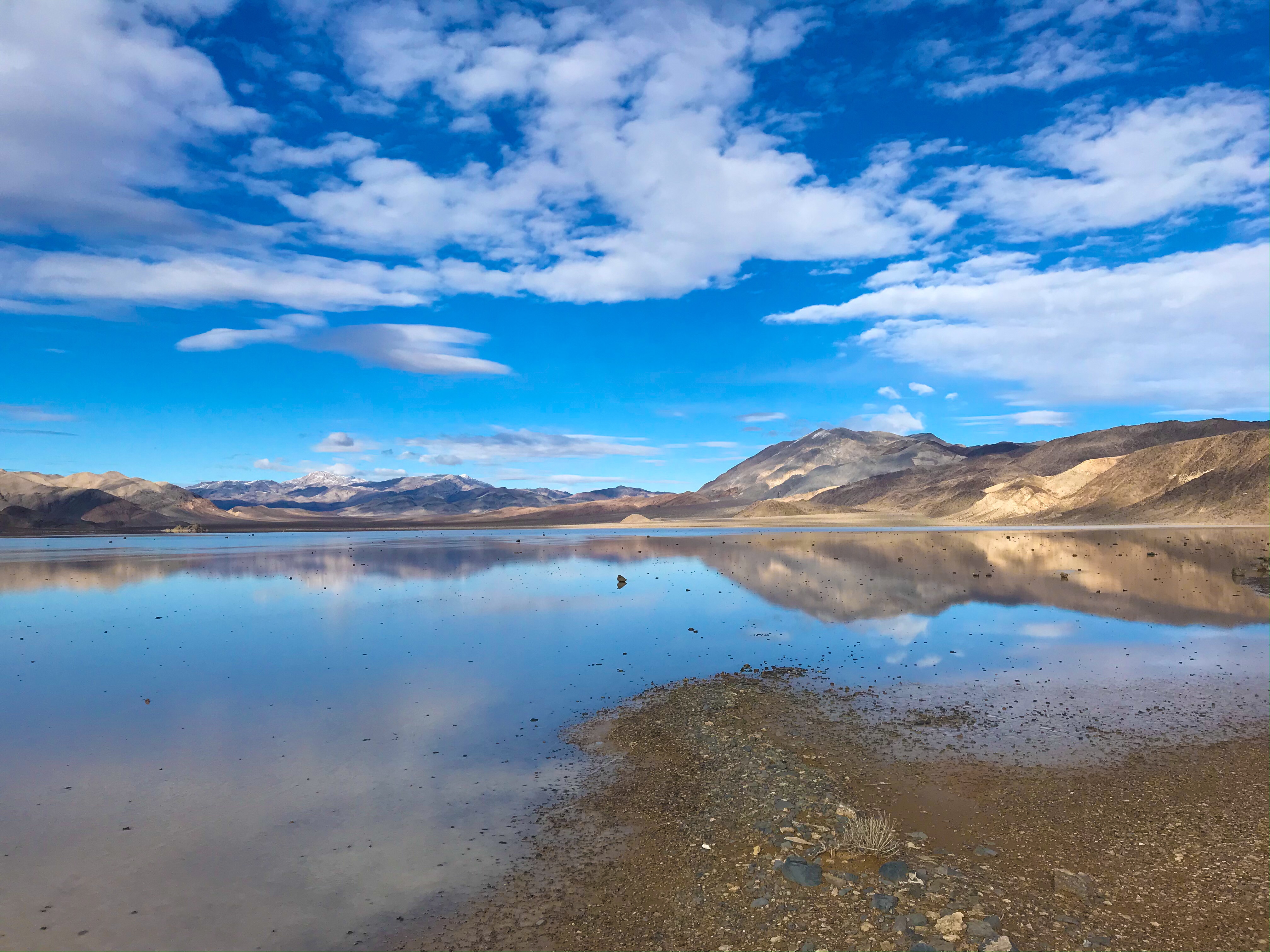
Badwater Basin
Get here early – it’s a “hike” that’s more accessible, so that means more people. The parking lot (with a toilet) fills up quickly, and most people have to park on the side of the road. I didn’t see signage that this was ADA compliant, but it had ramps, and even when the wooden boardwalk ended, the sand was very hard (like hardened clay) – I imagine I could’ve pushed my Grammy in her wheelchair down this to see the salt flats, which is one of the very few places in the park this would’ve been possible.
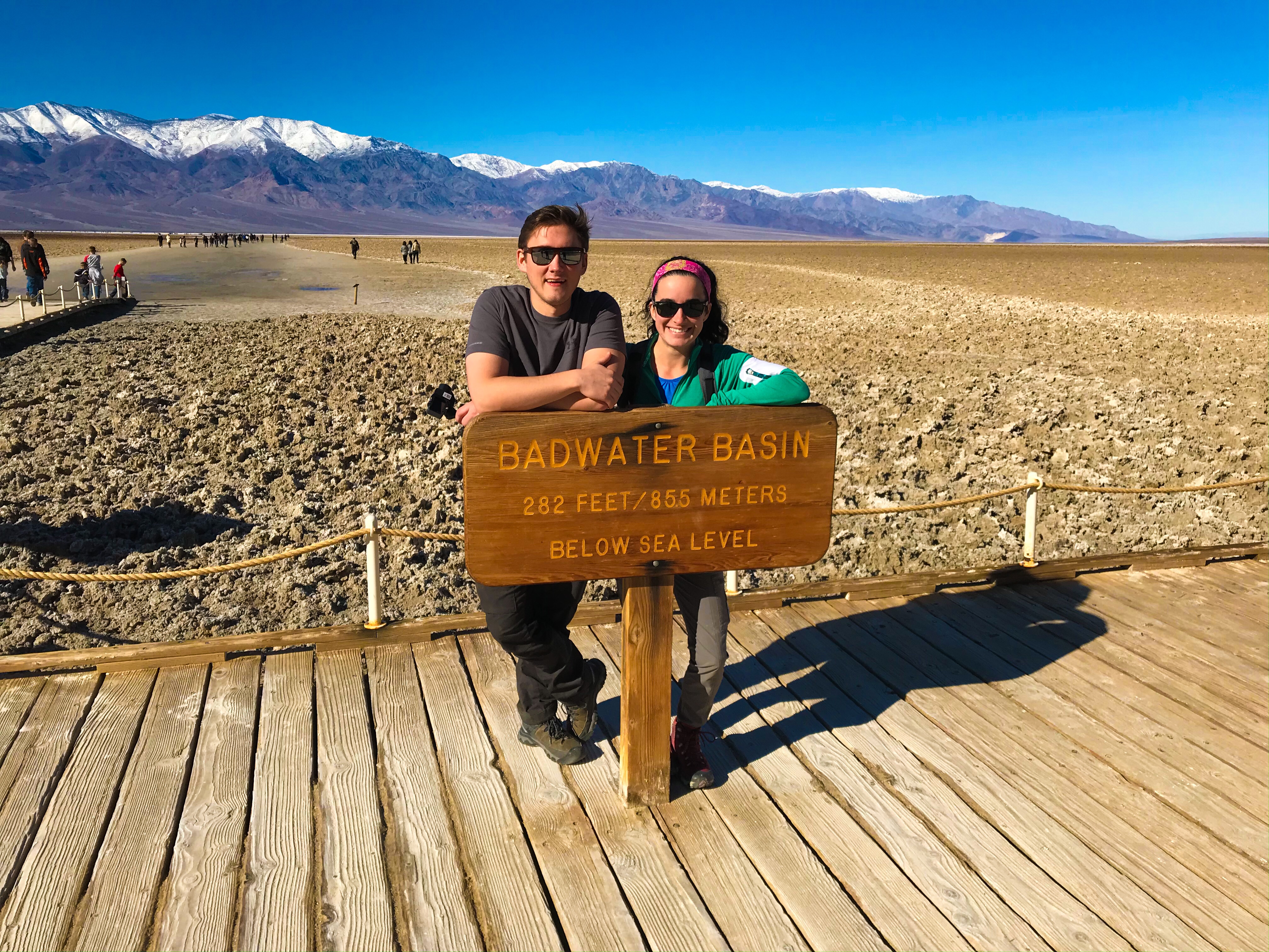
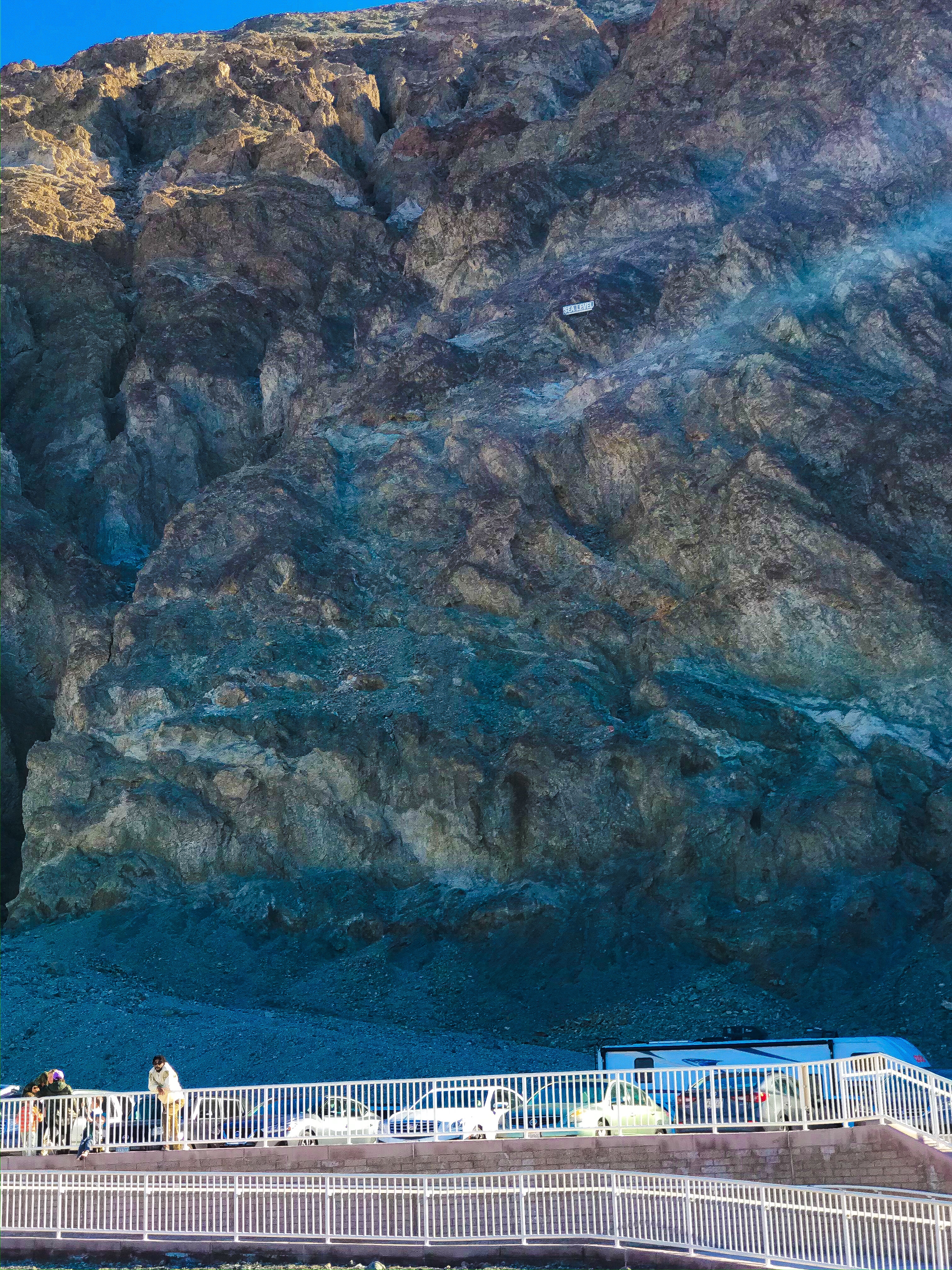
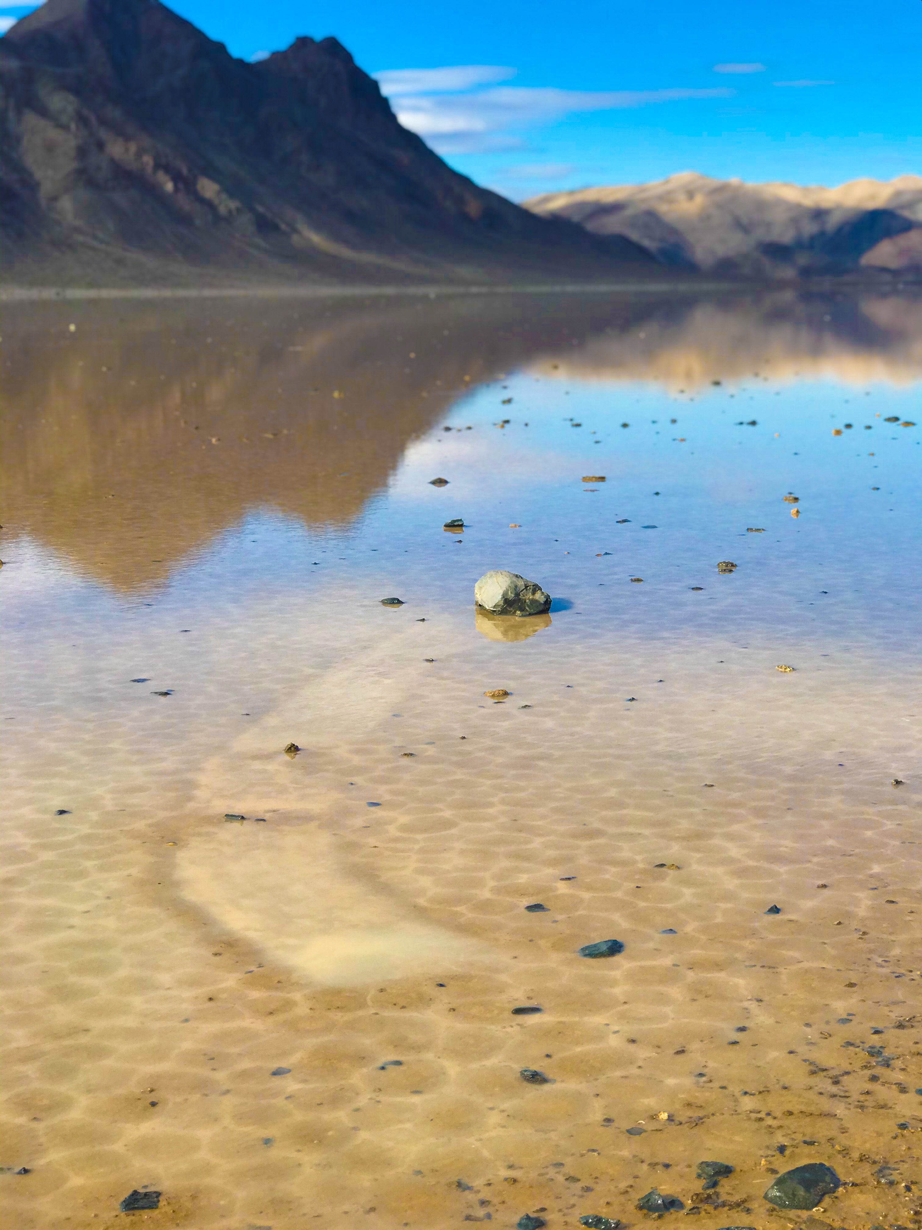
The parking lot empties onto a wooden boardwalk. At the beginning of the boardwalk, you can turn around to look at the Black Mountains behind you and see a sign marking Sea Level – I didn’t fully appreciate how deep 282 feet below sea level was until I saw this!
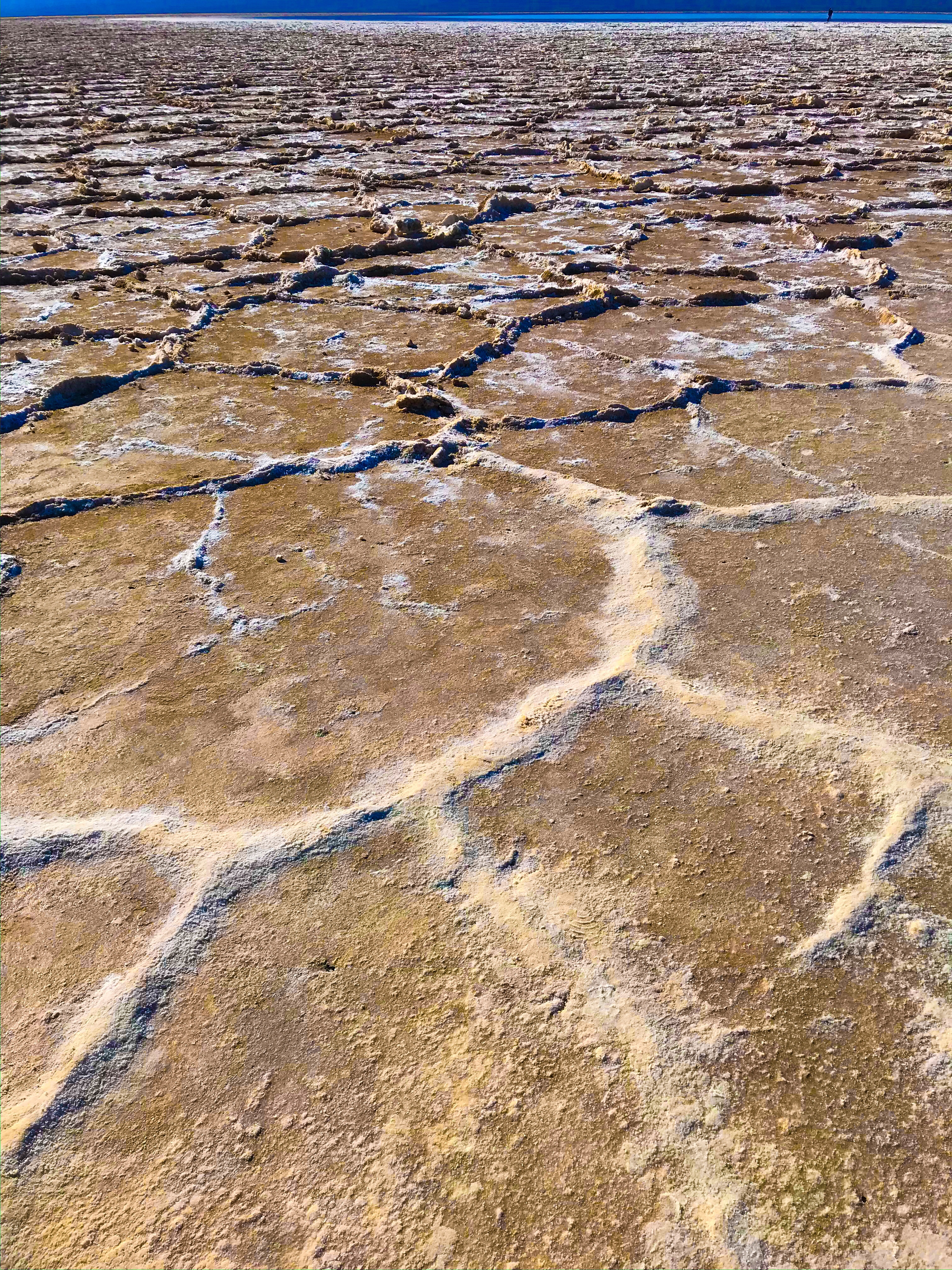
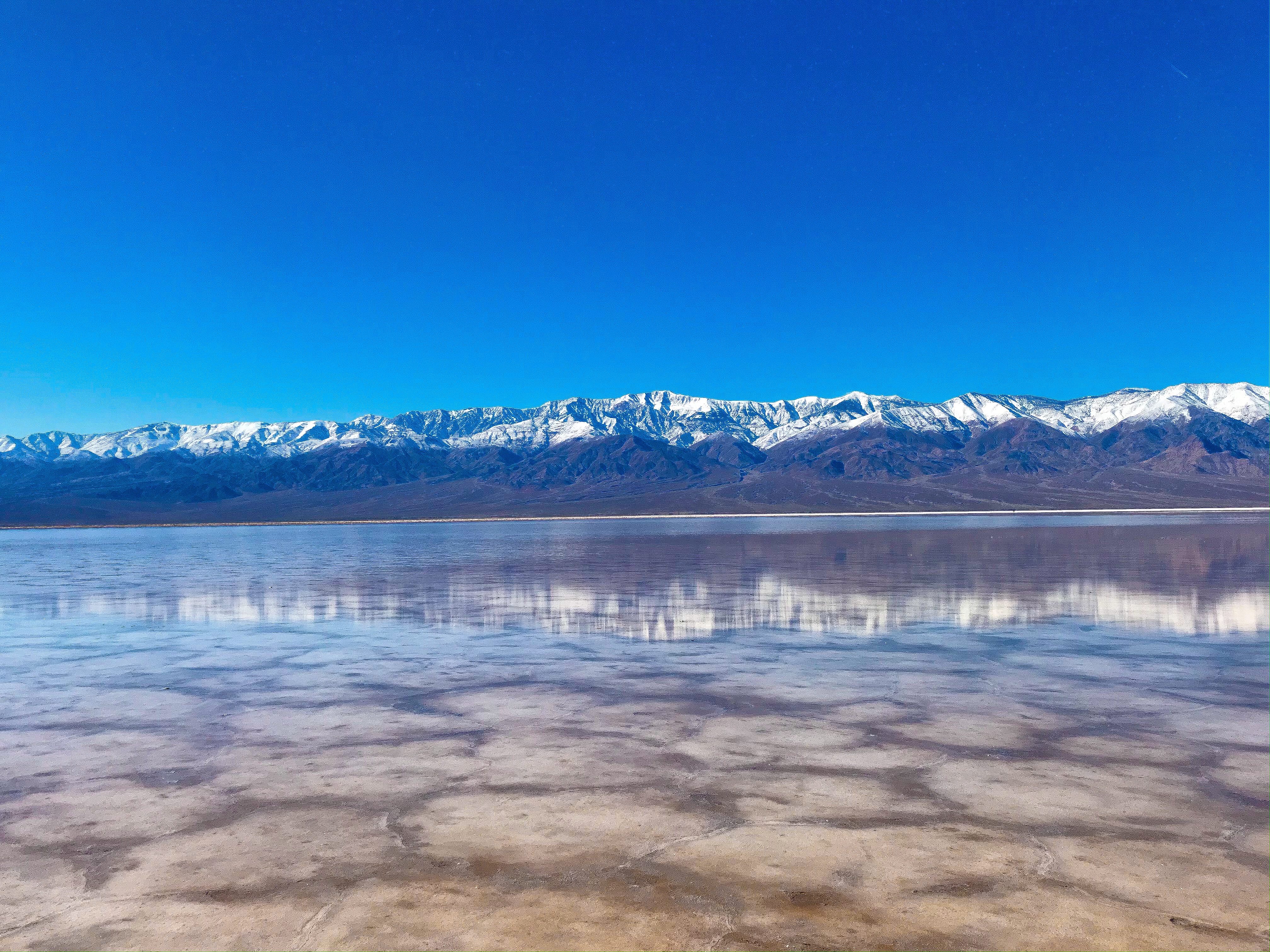
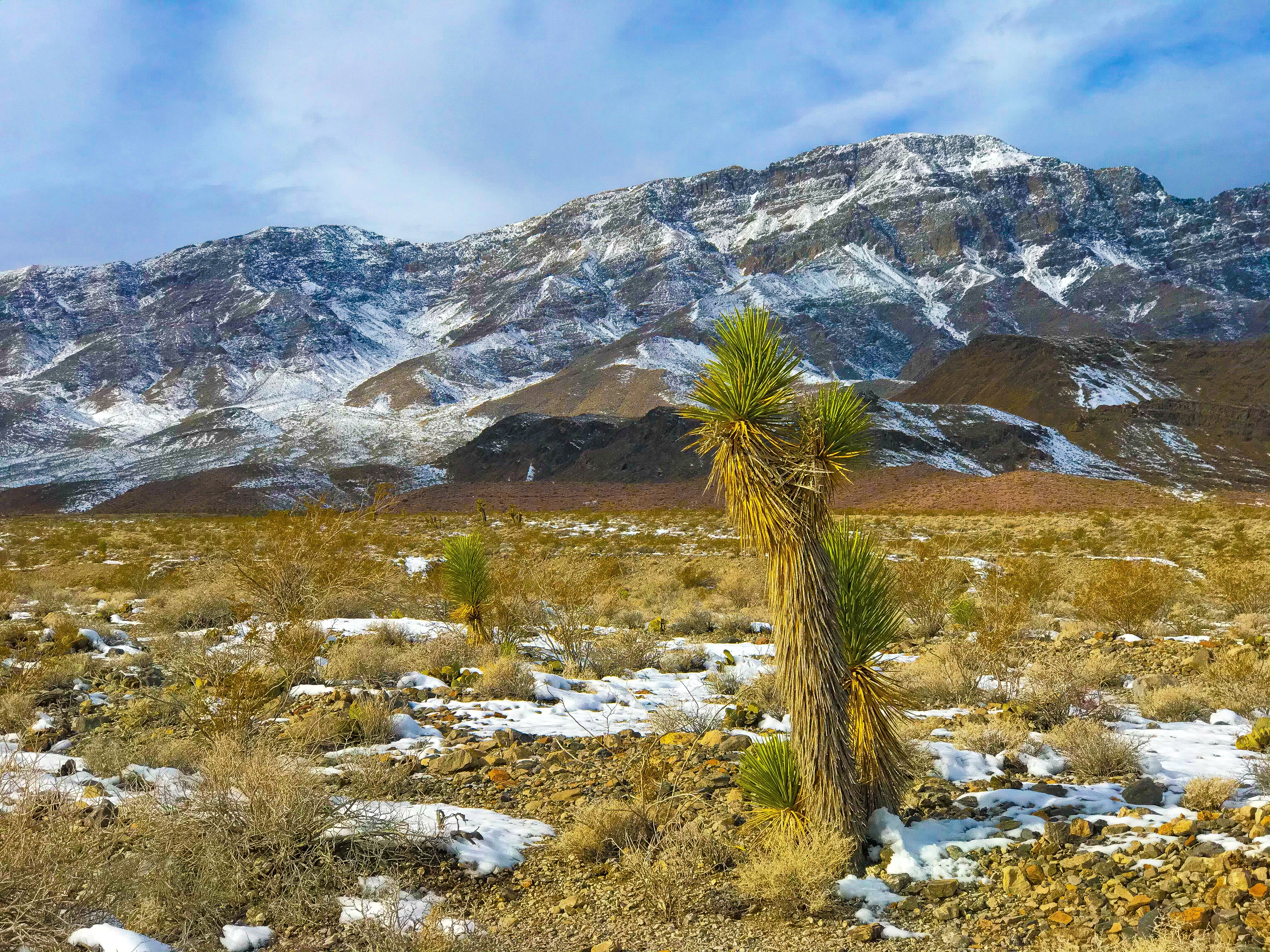
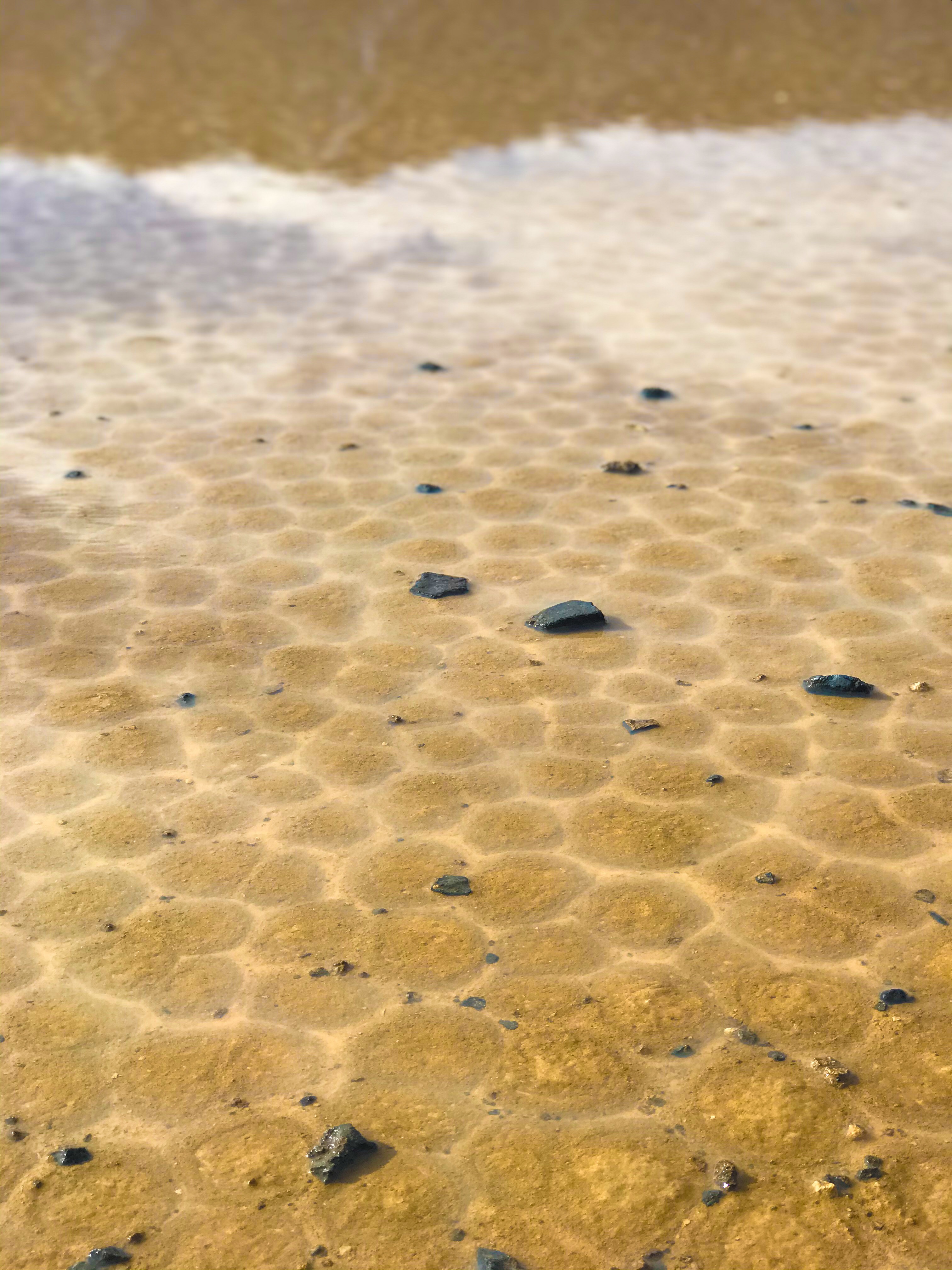
It’s an easy walk along a boardwalk out to the wet area of the salt flats. The ground forms into octagonal shapes crested with salt crystals, and the water reflects the snow capped Telescope Peak in the background.
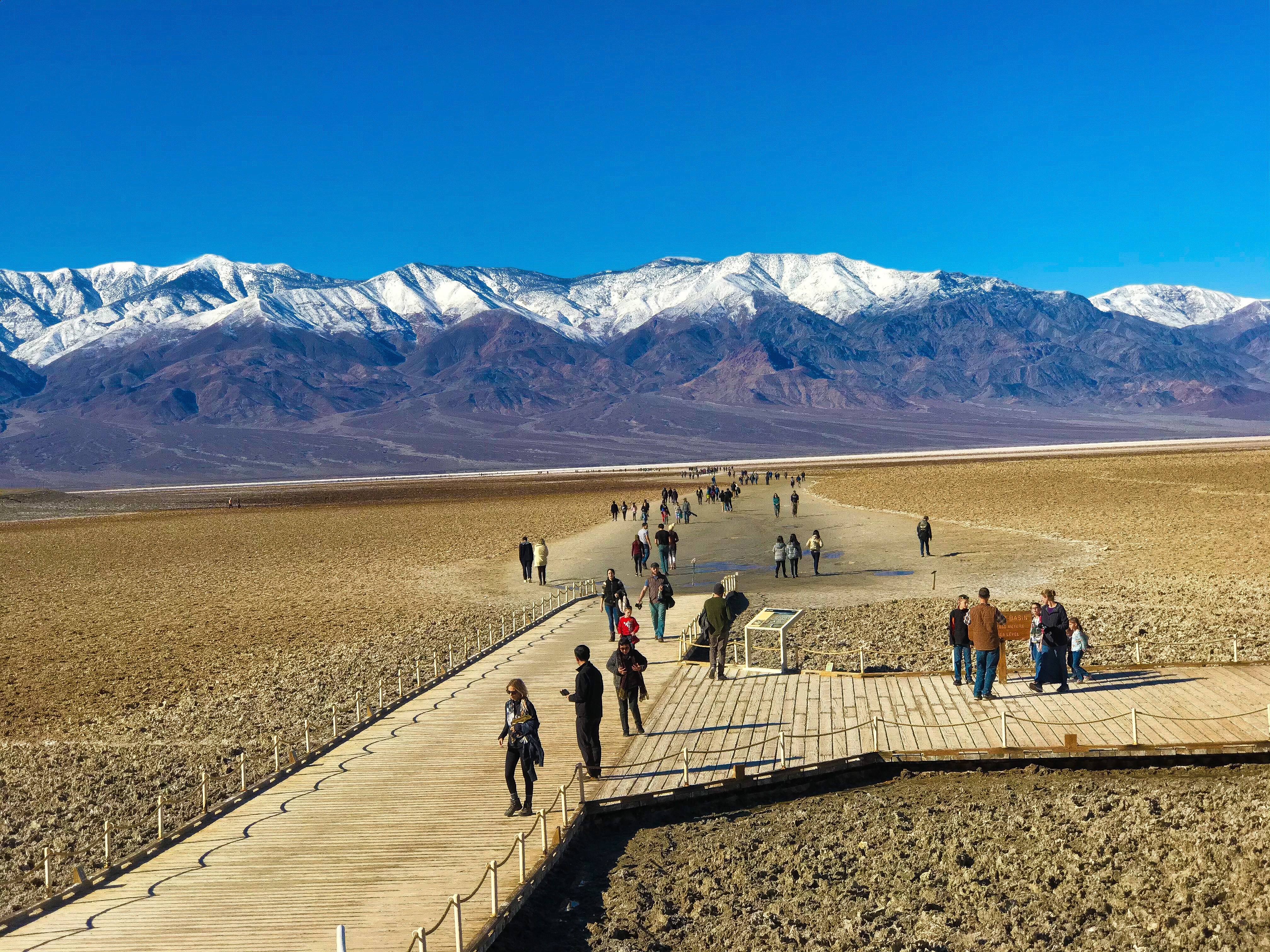
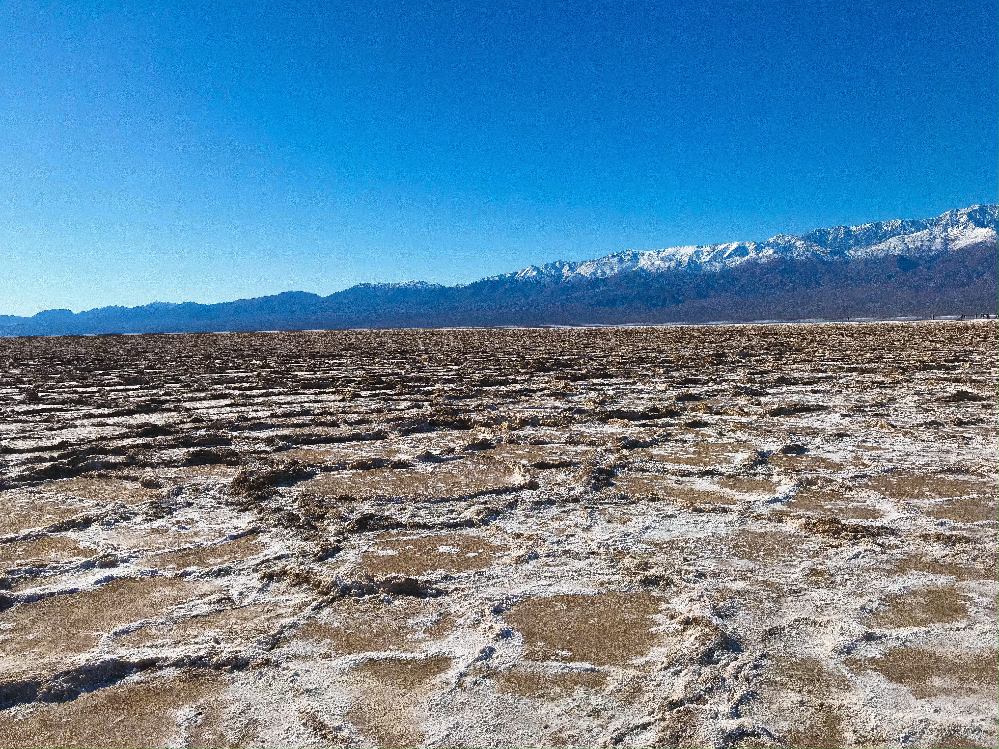
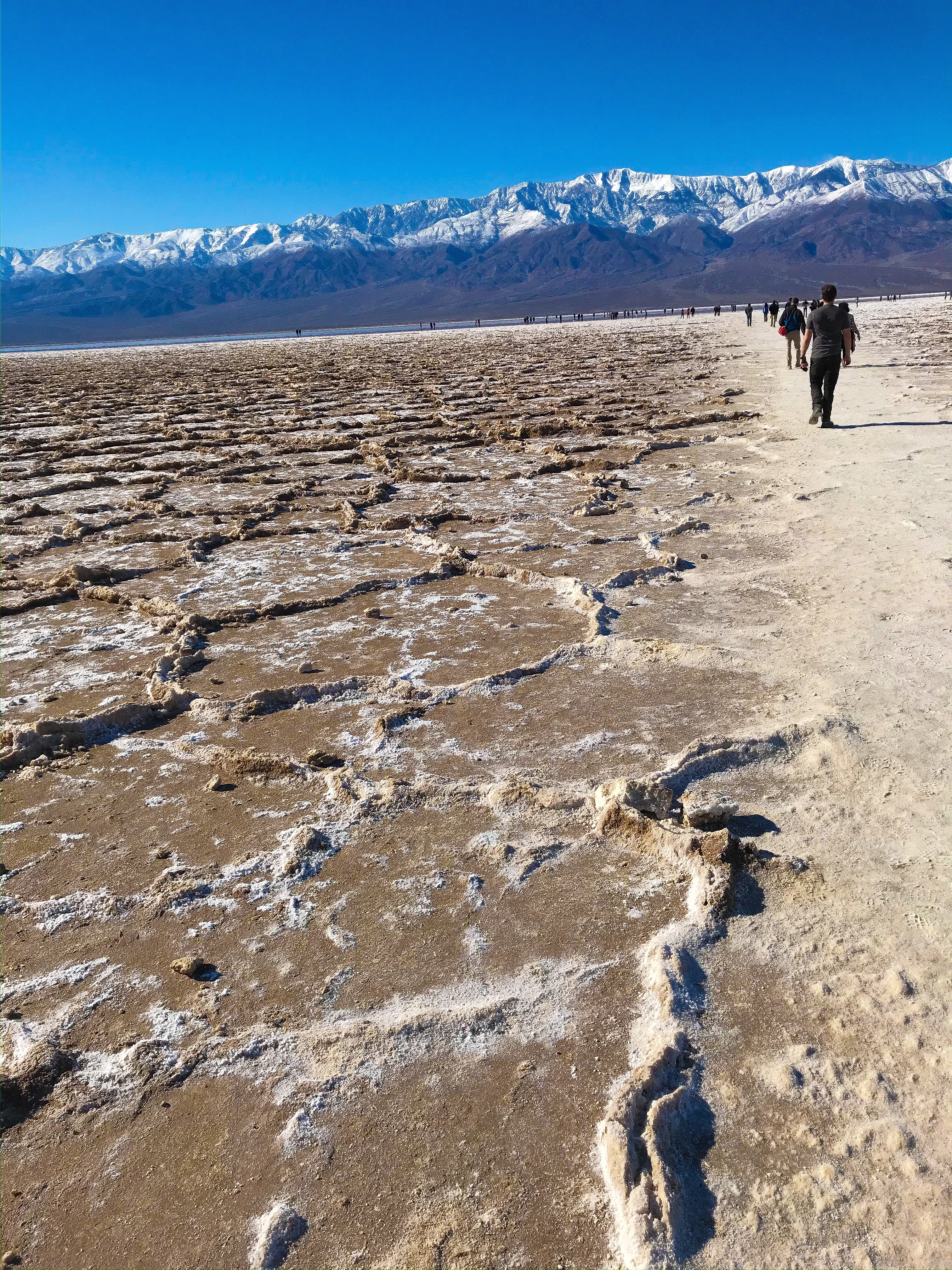
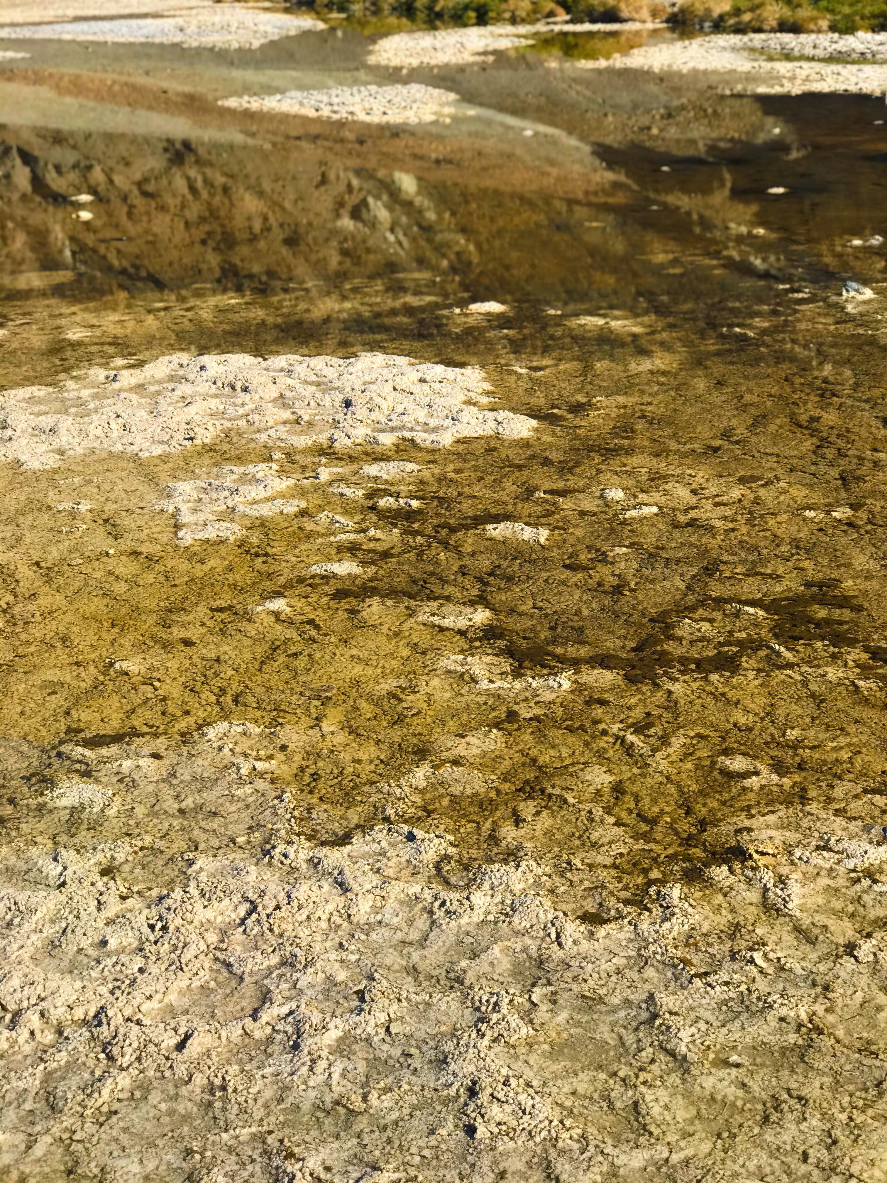
The lowest point in North America, Badwater Basin is created by 9,000 square miles (aka the size of my home state, New Hampshire) of runoff running underground, rising through the fault lines, and when the water evaporates, what’s left is salt flats.
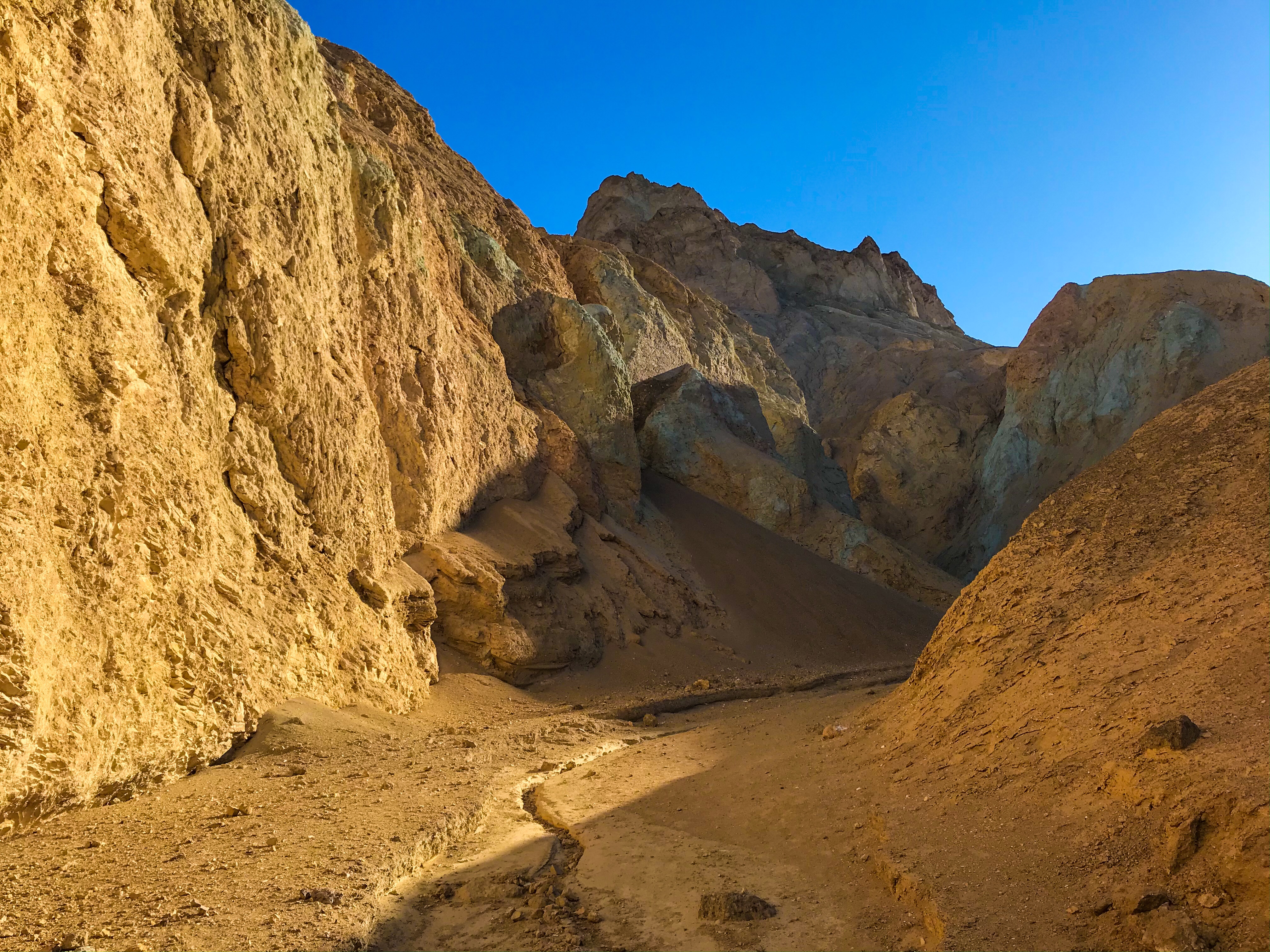
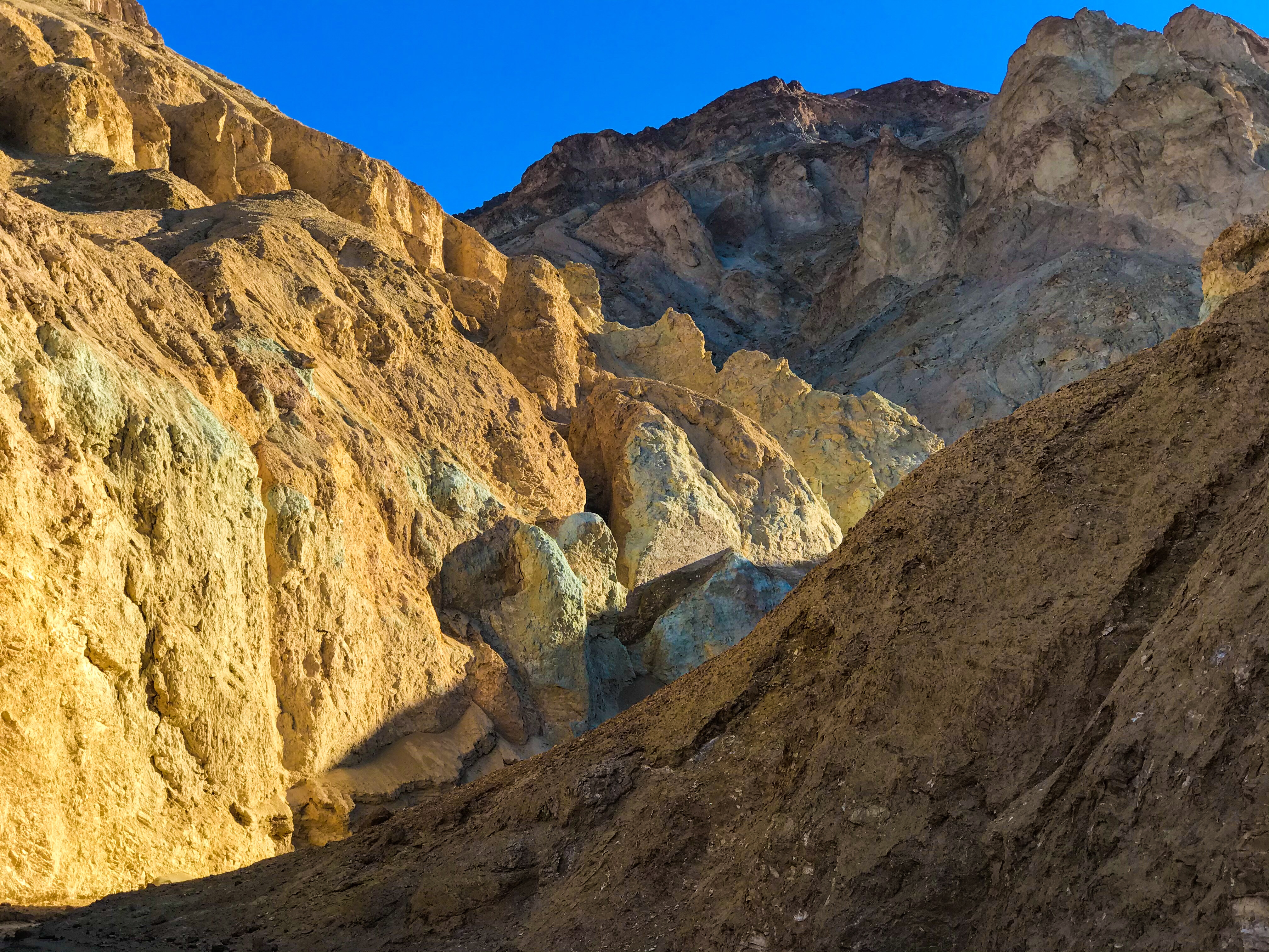
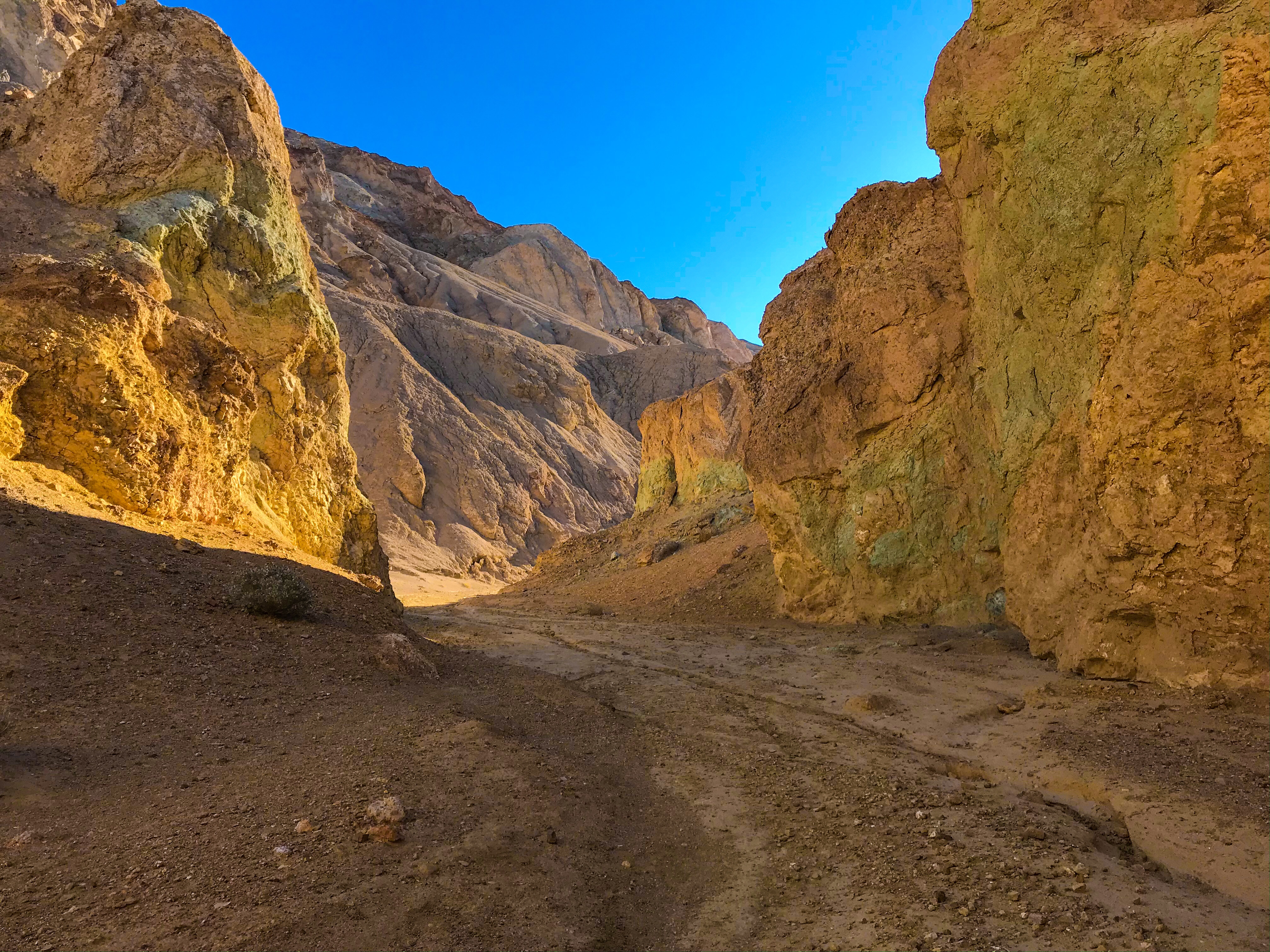
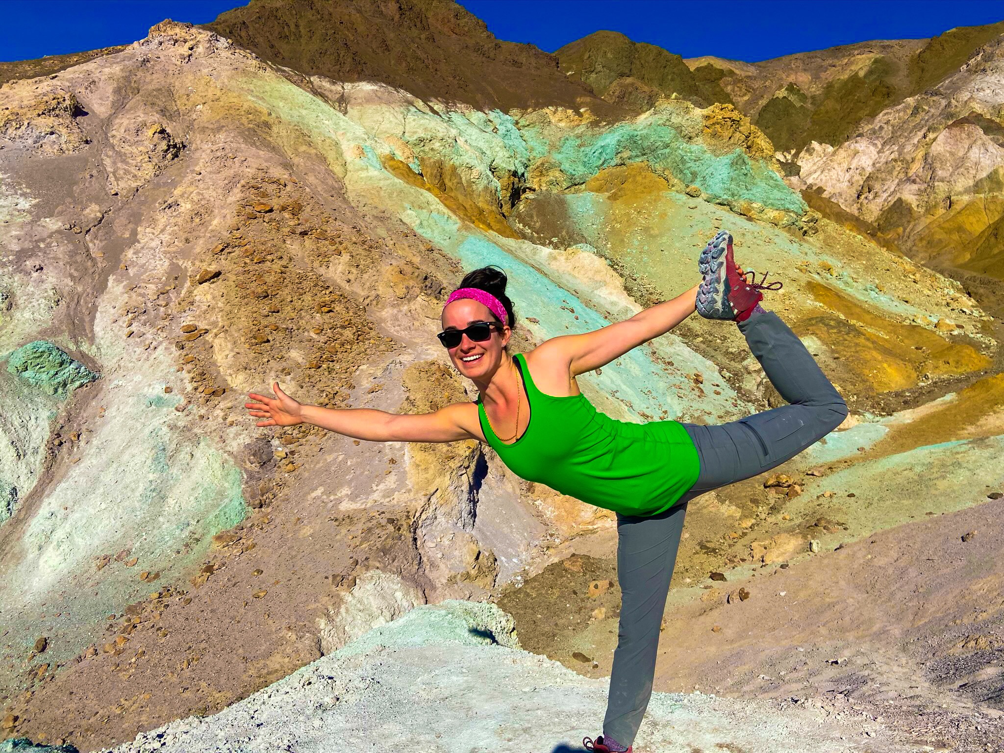
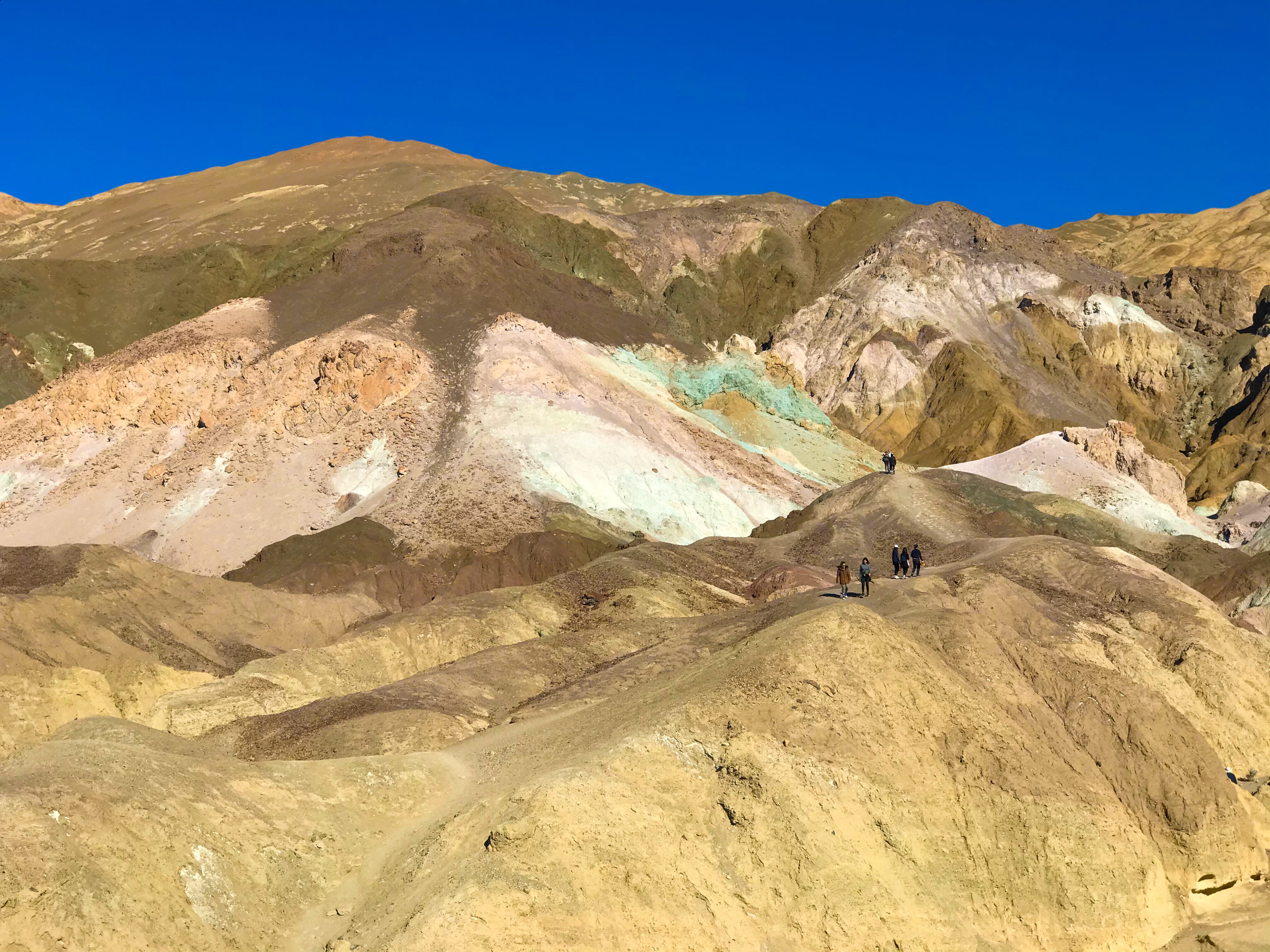
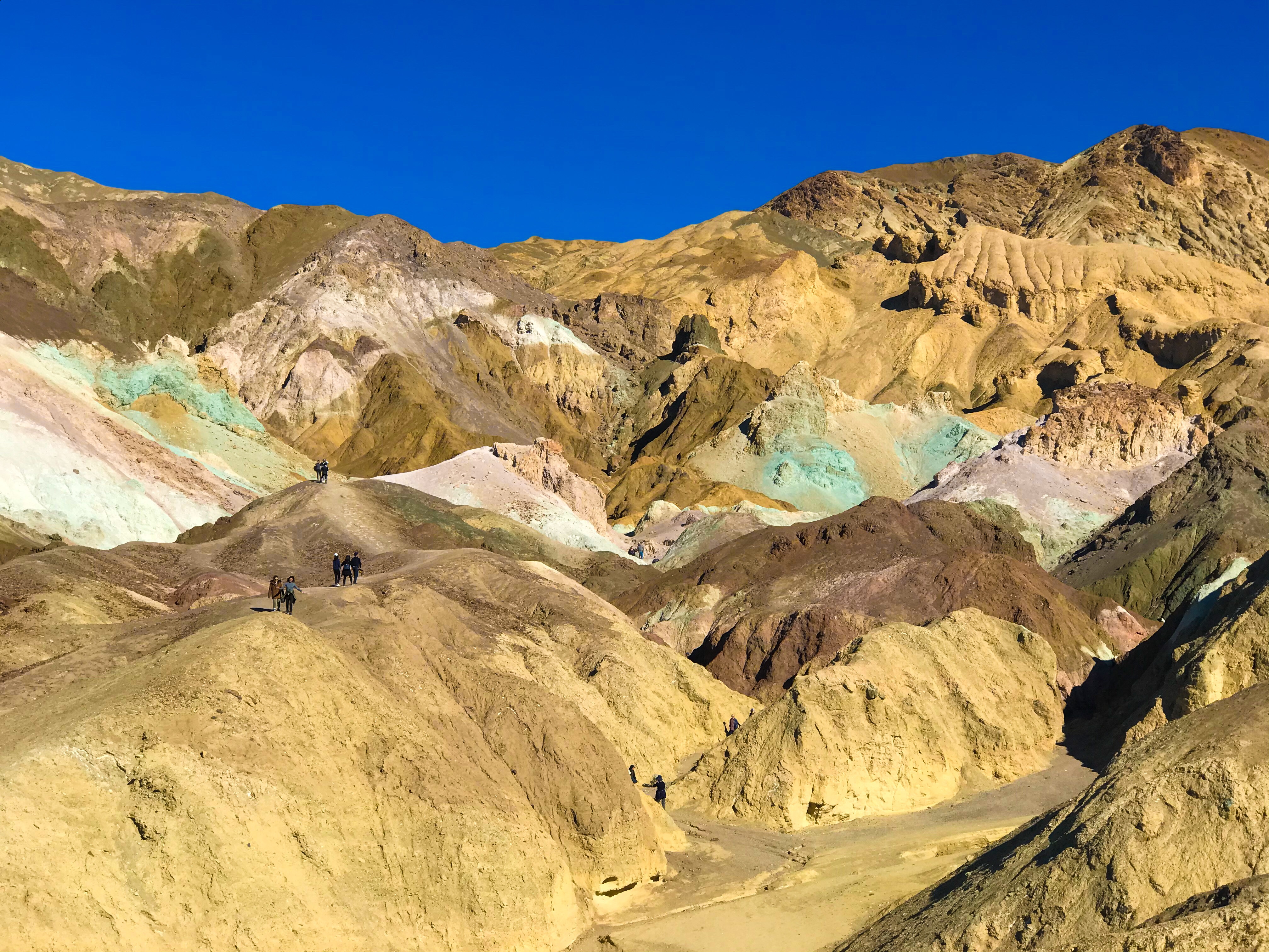
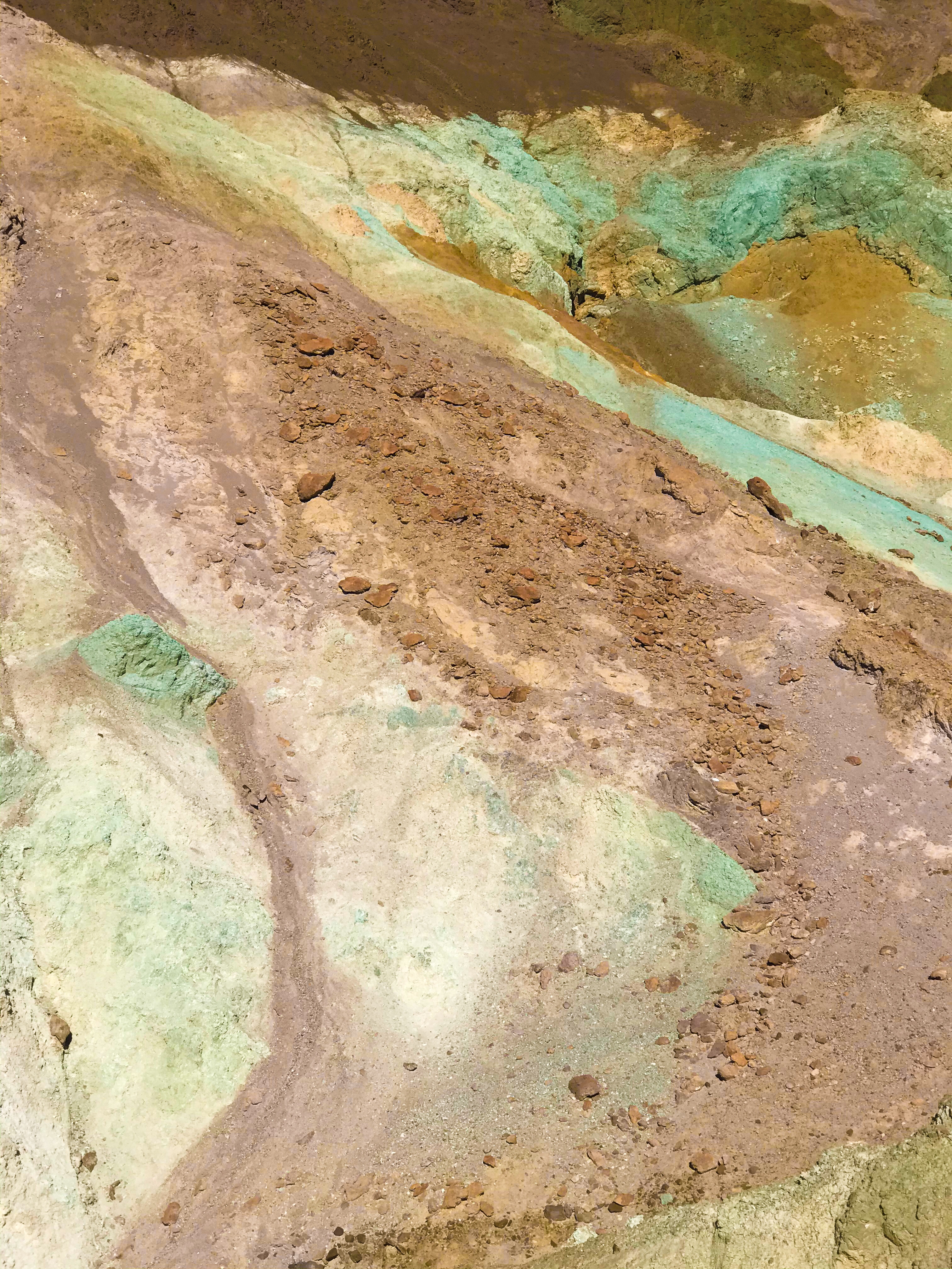
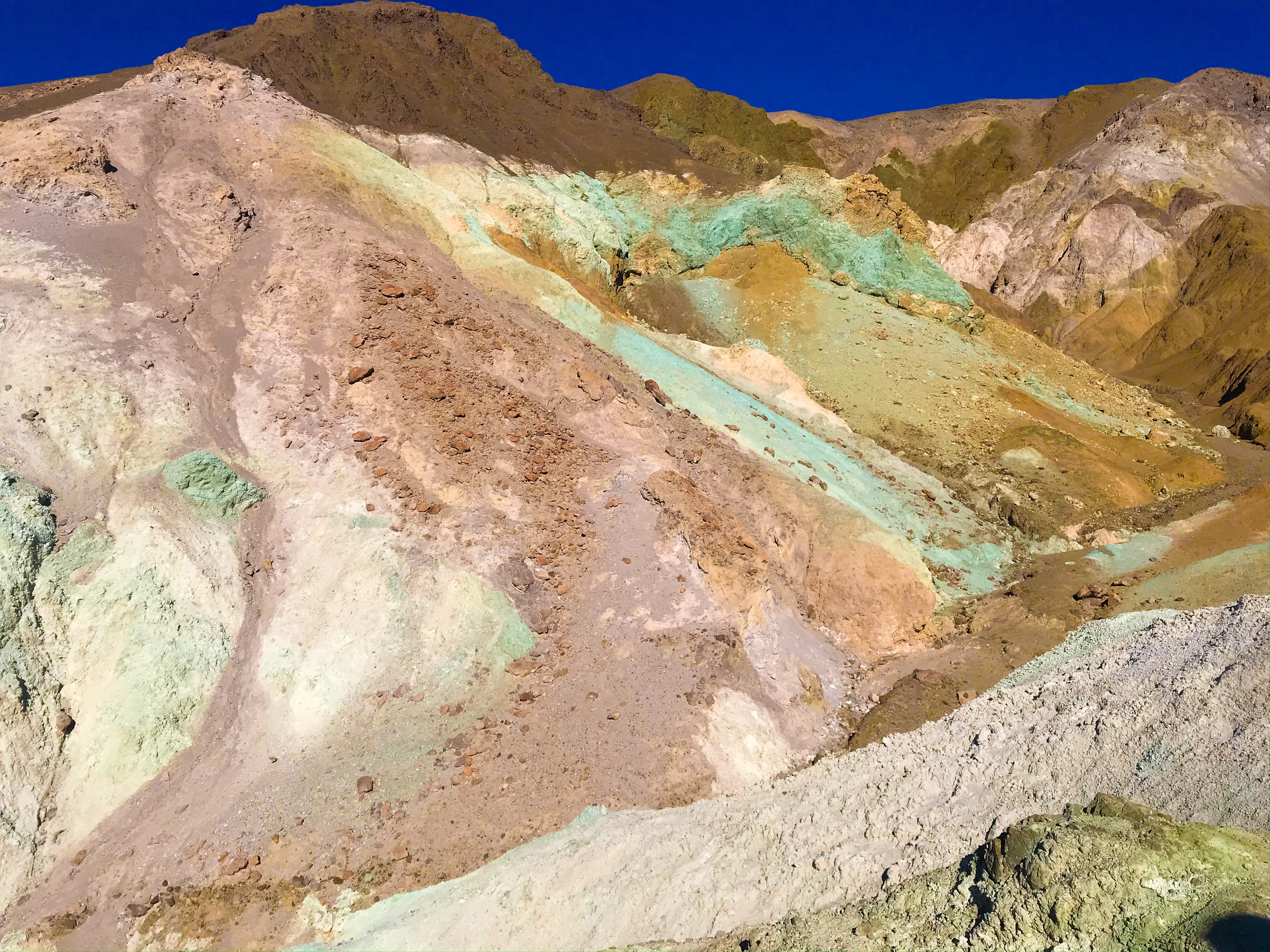
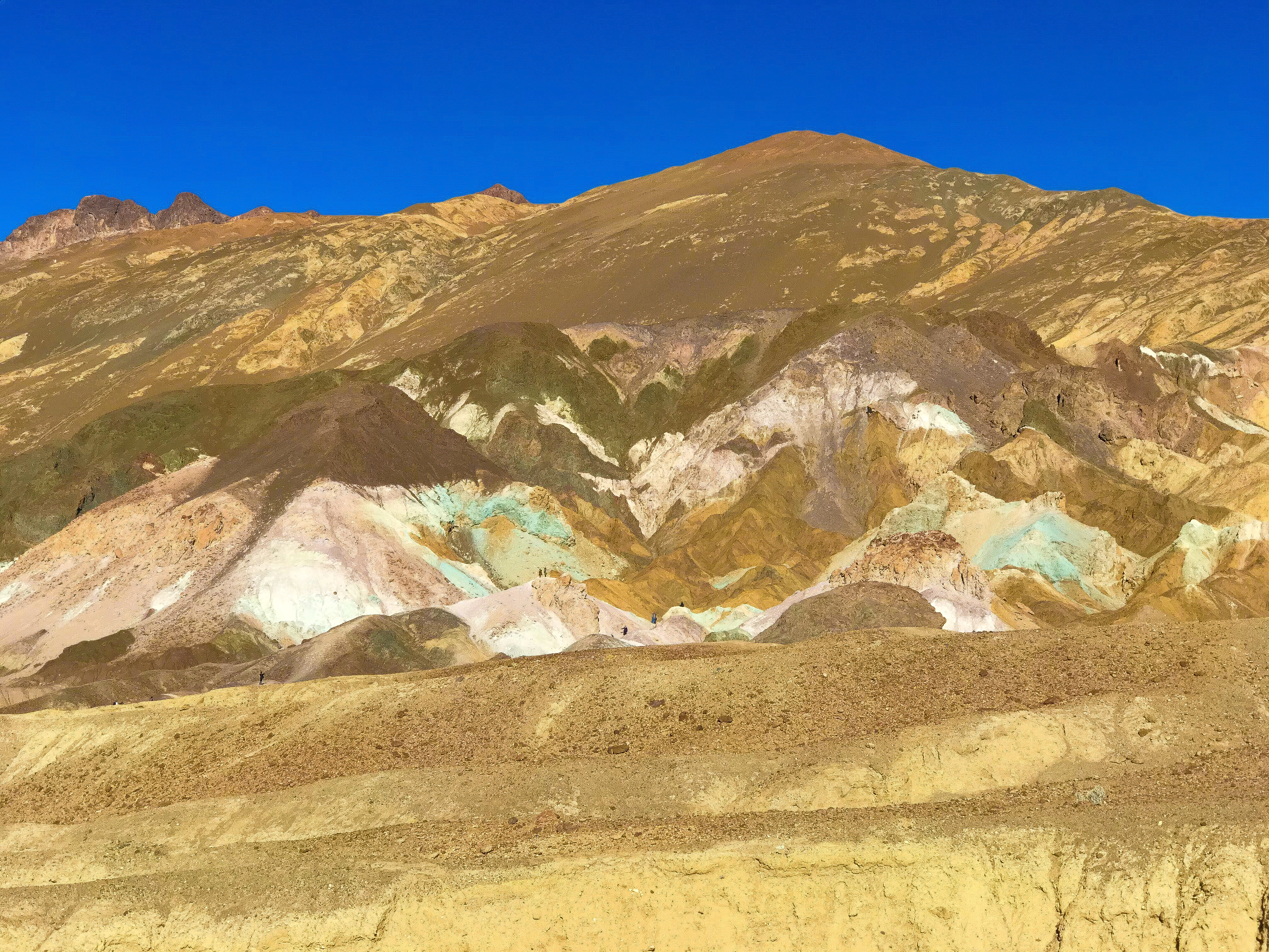
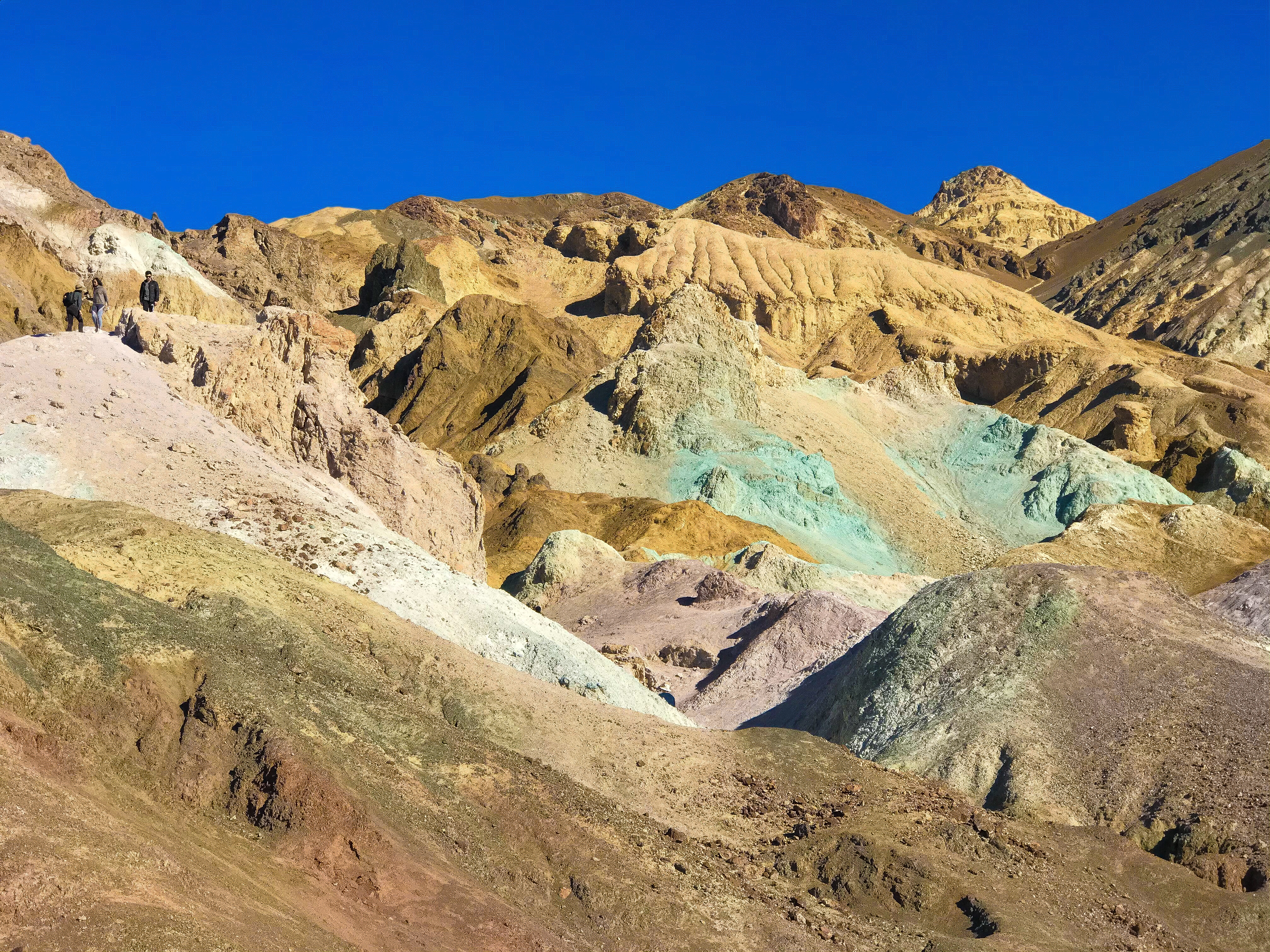
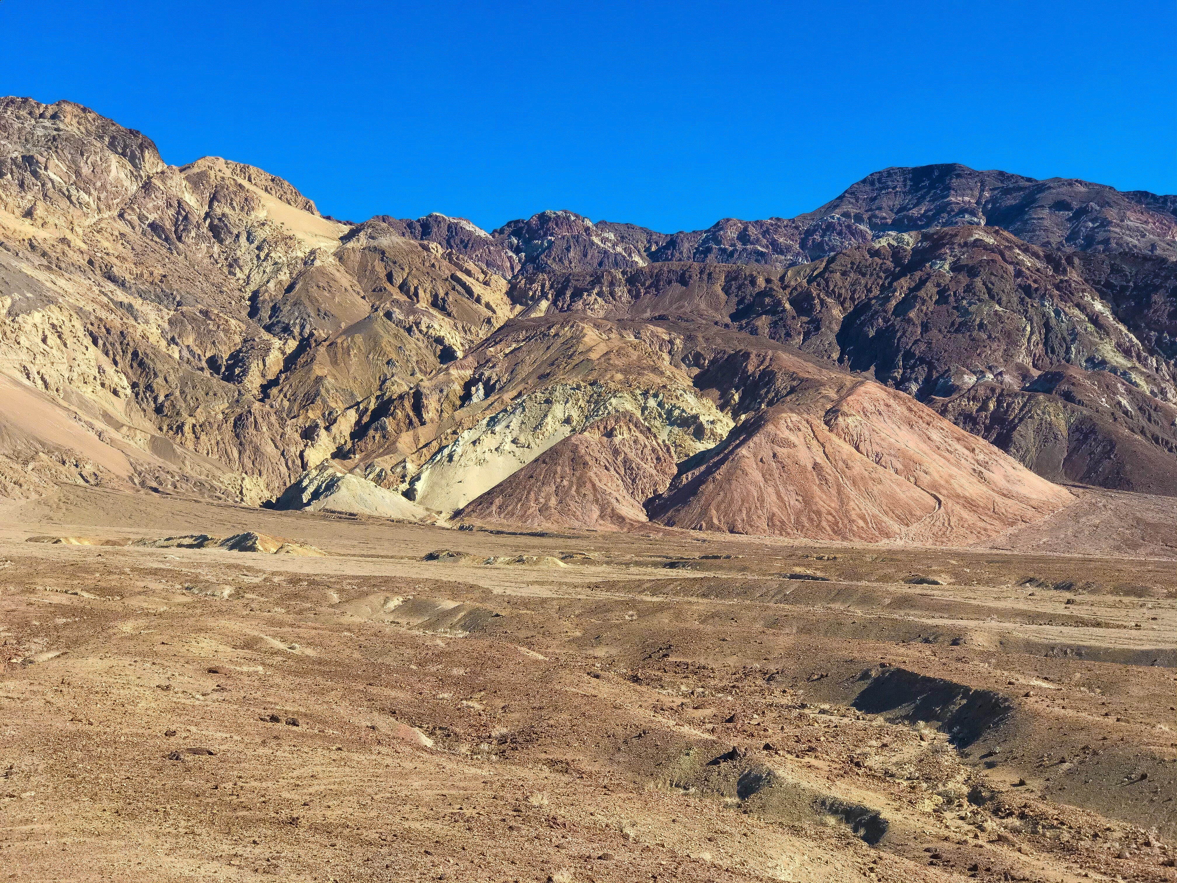
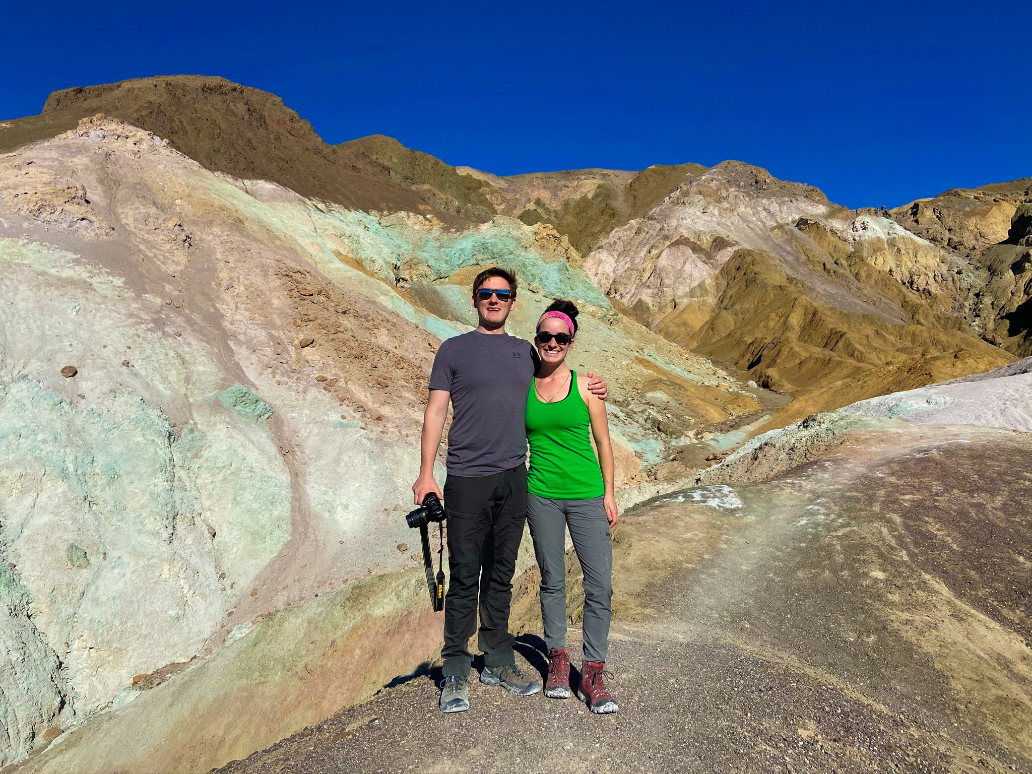
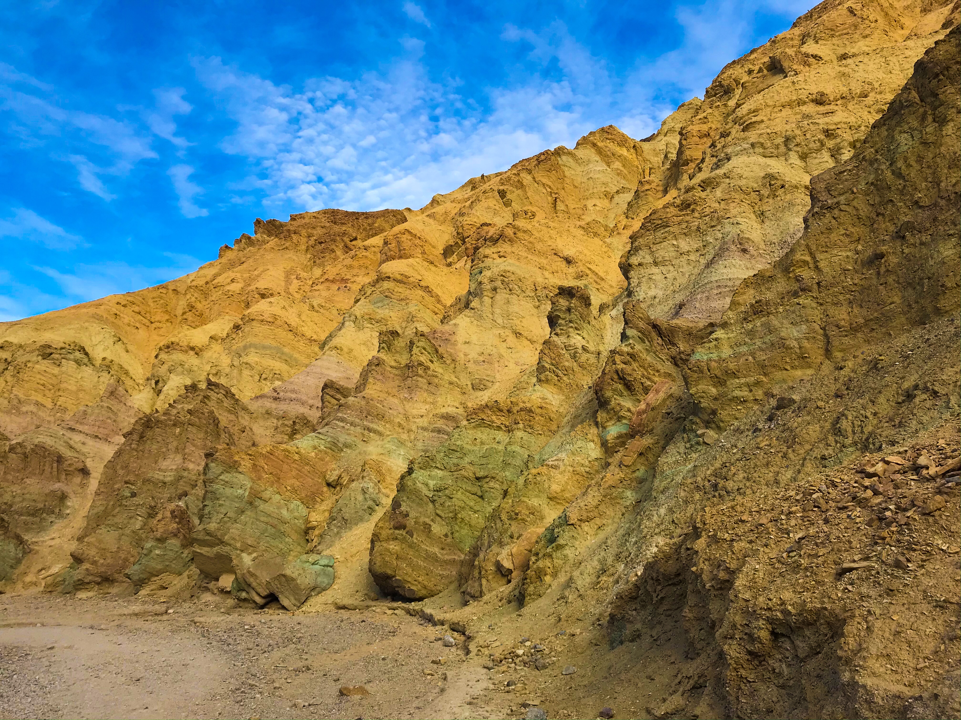
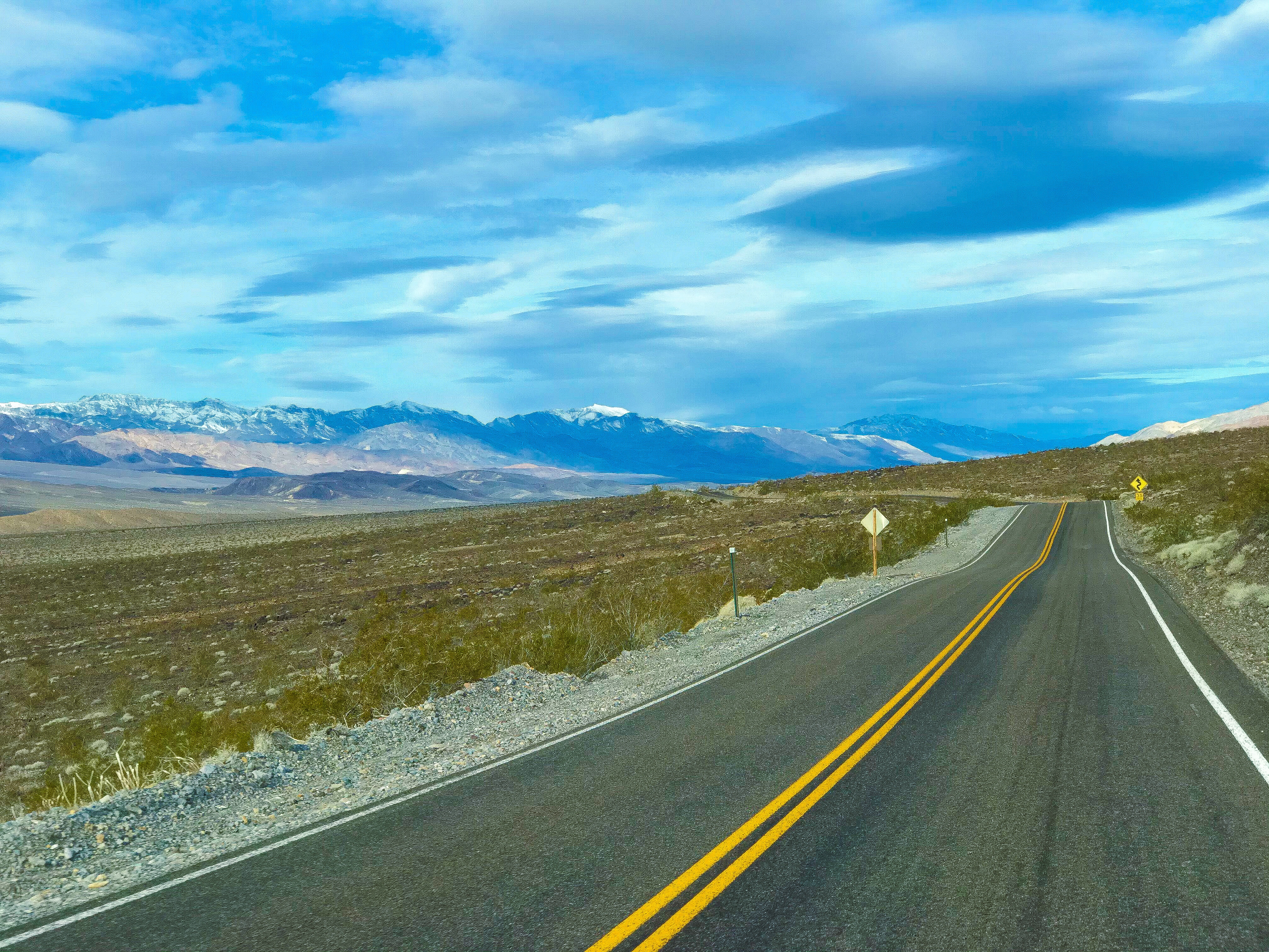
Artist’s Drive & Artist’s Palate
On this 9 mile, one-way drive, there are deep dips and tight corners in the road, so cars will go slowly. Get here earlier in the day so you’re not trapped behind RVs moving particularly slowly.
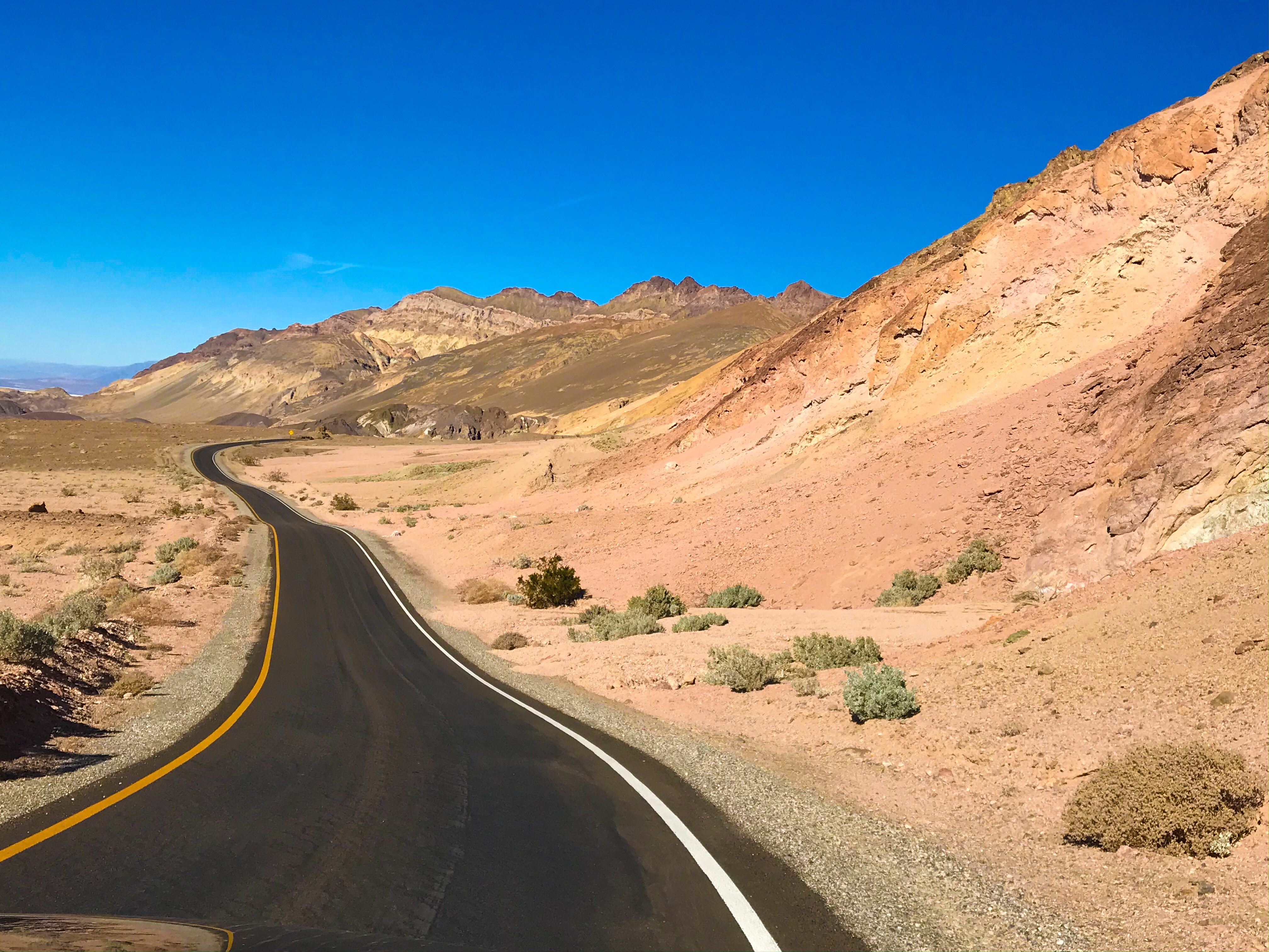
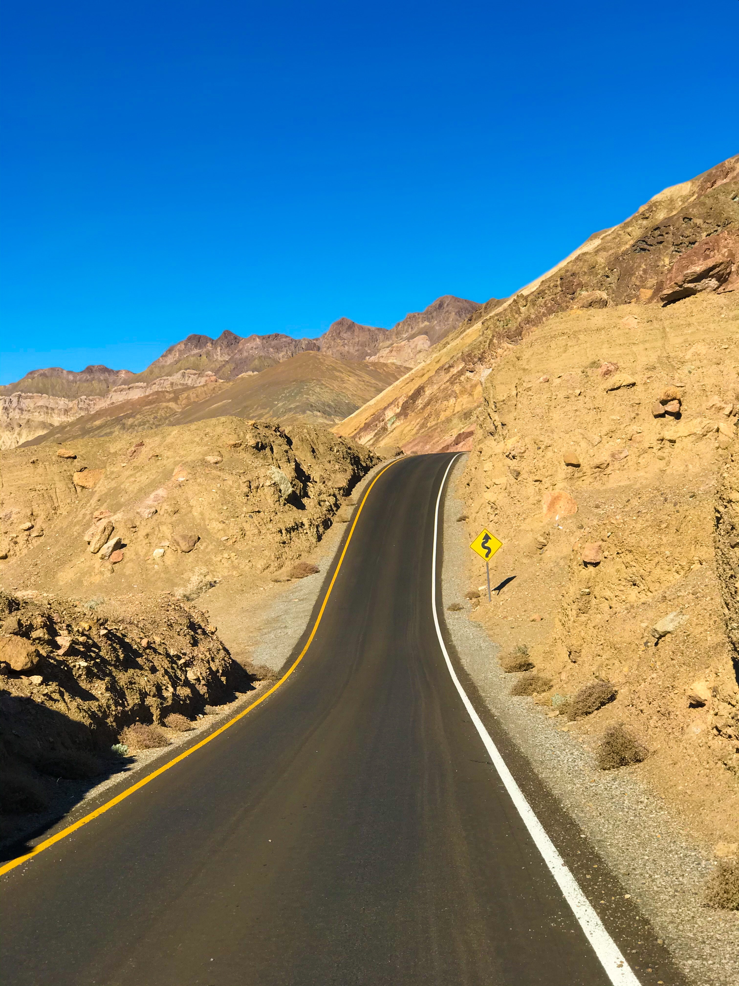
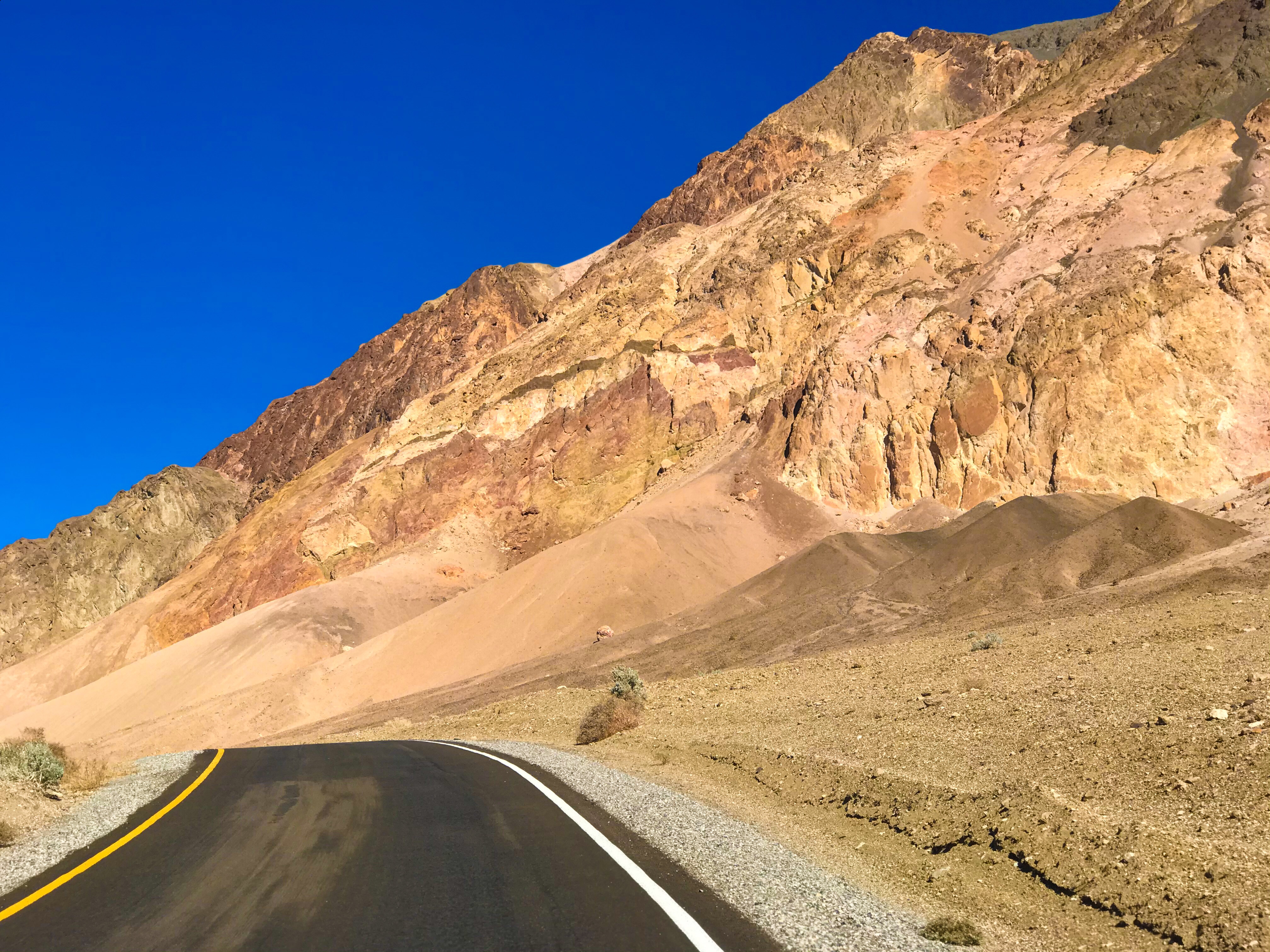
There’s a fake out trail at the very beginning of Artist’s Drive – a ton of cars will be parked, there will be a very short trail, but you won’t see anything when you get to the top. Pass by this trail and head straight to the area with signage for Artist’s Palette. There are 2 parking areas – one first on the side of the road, and another actual parking lot (with a toilet) with a sign pointing to it.
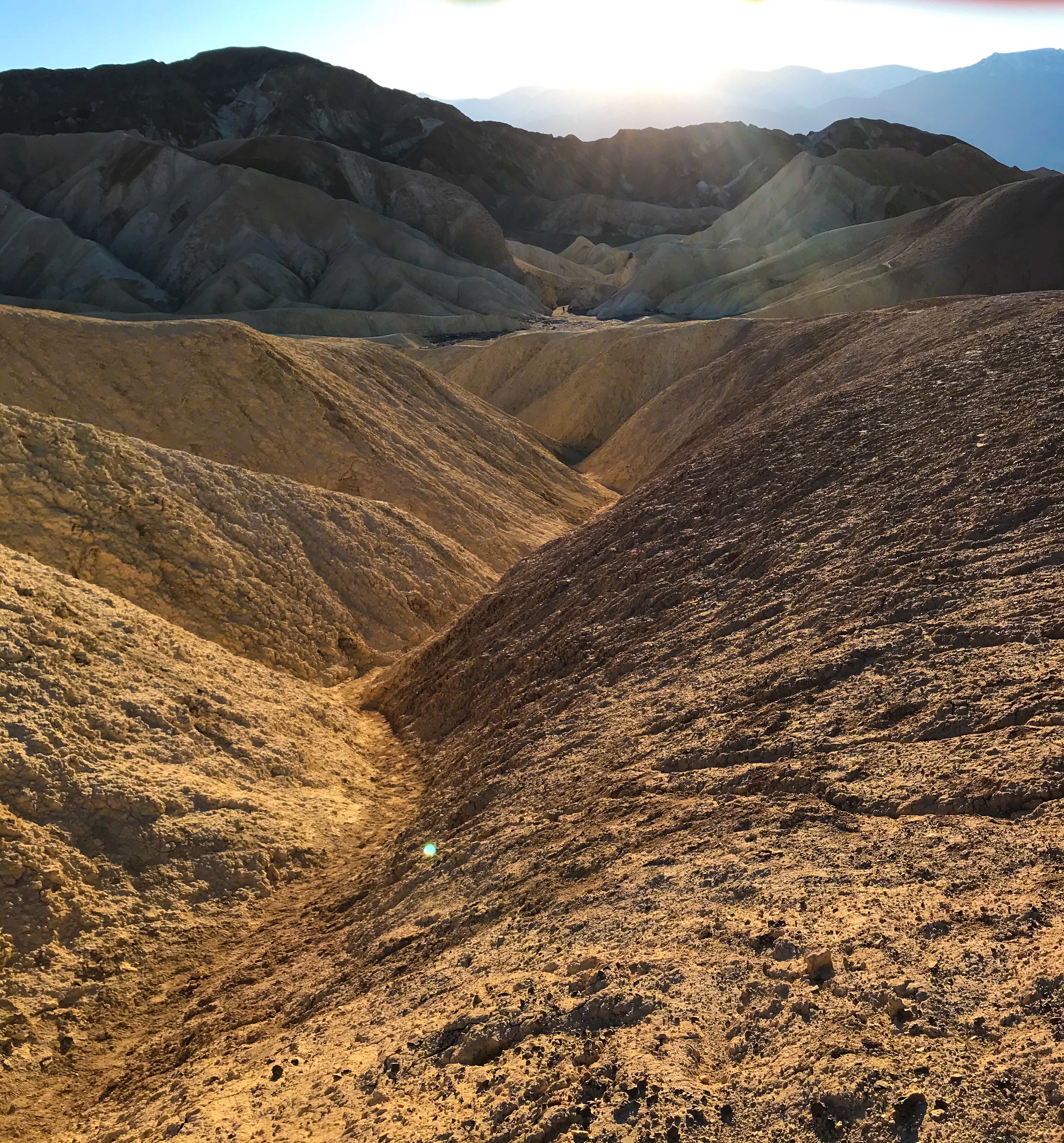
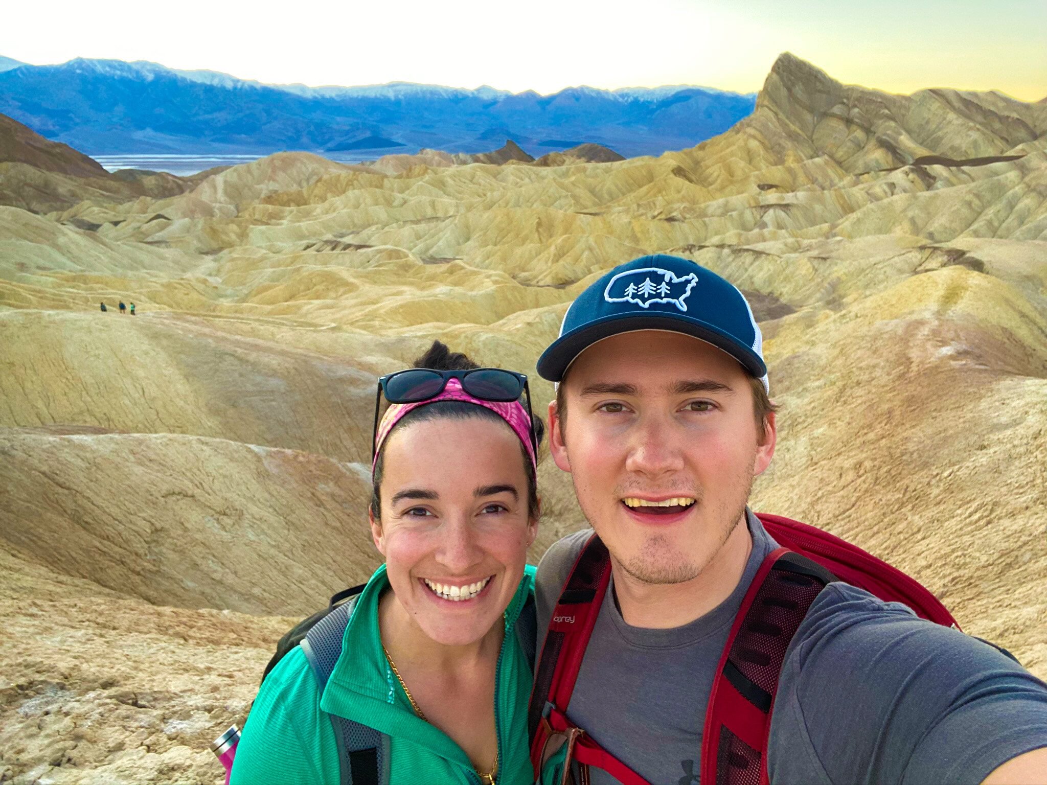
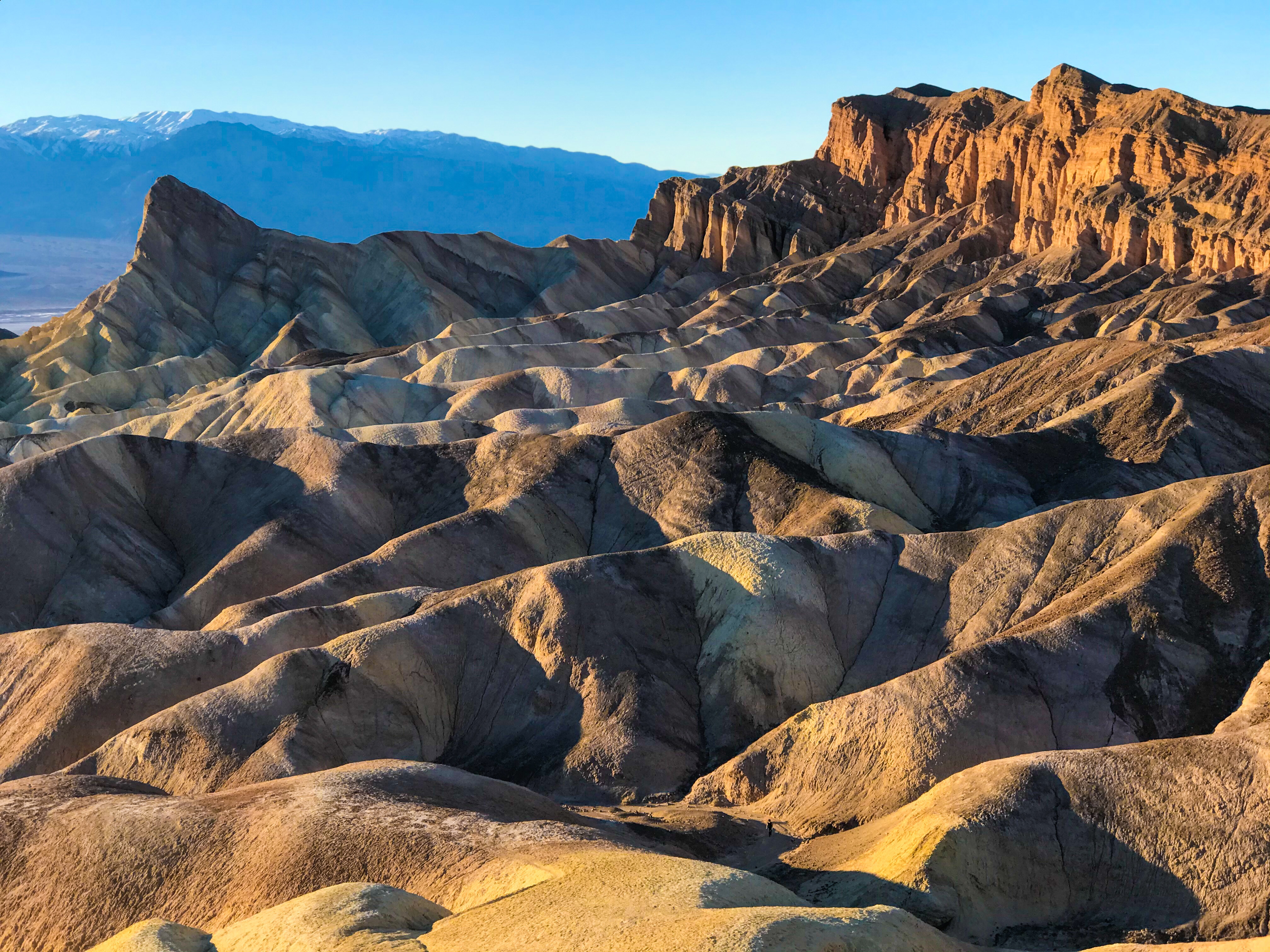
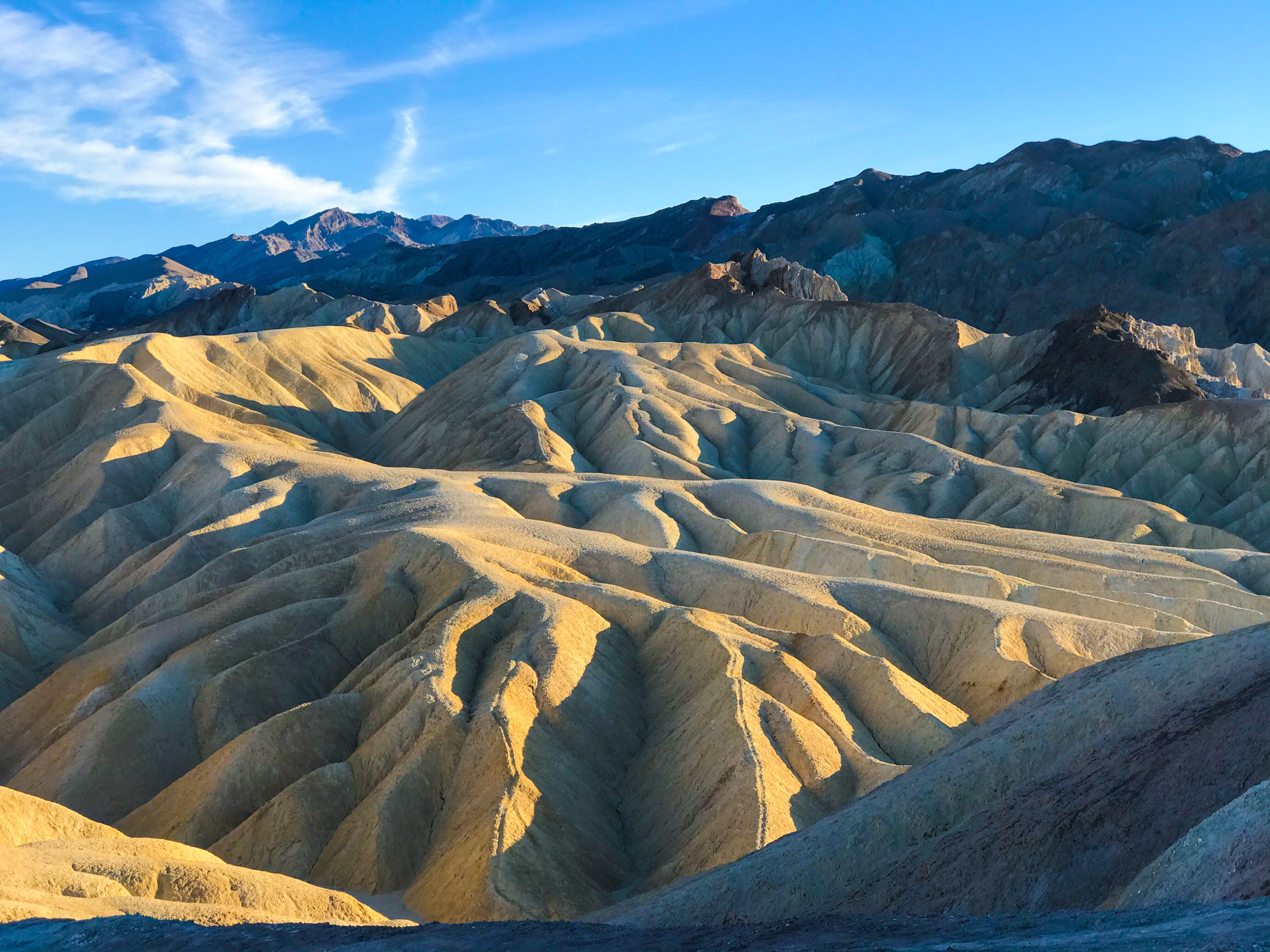
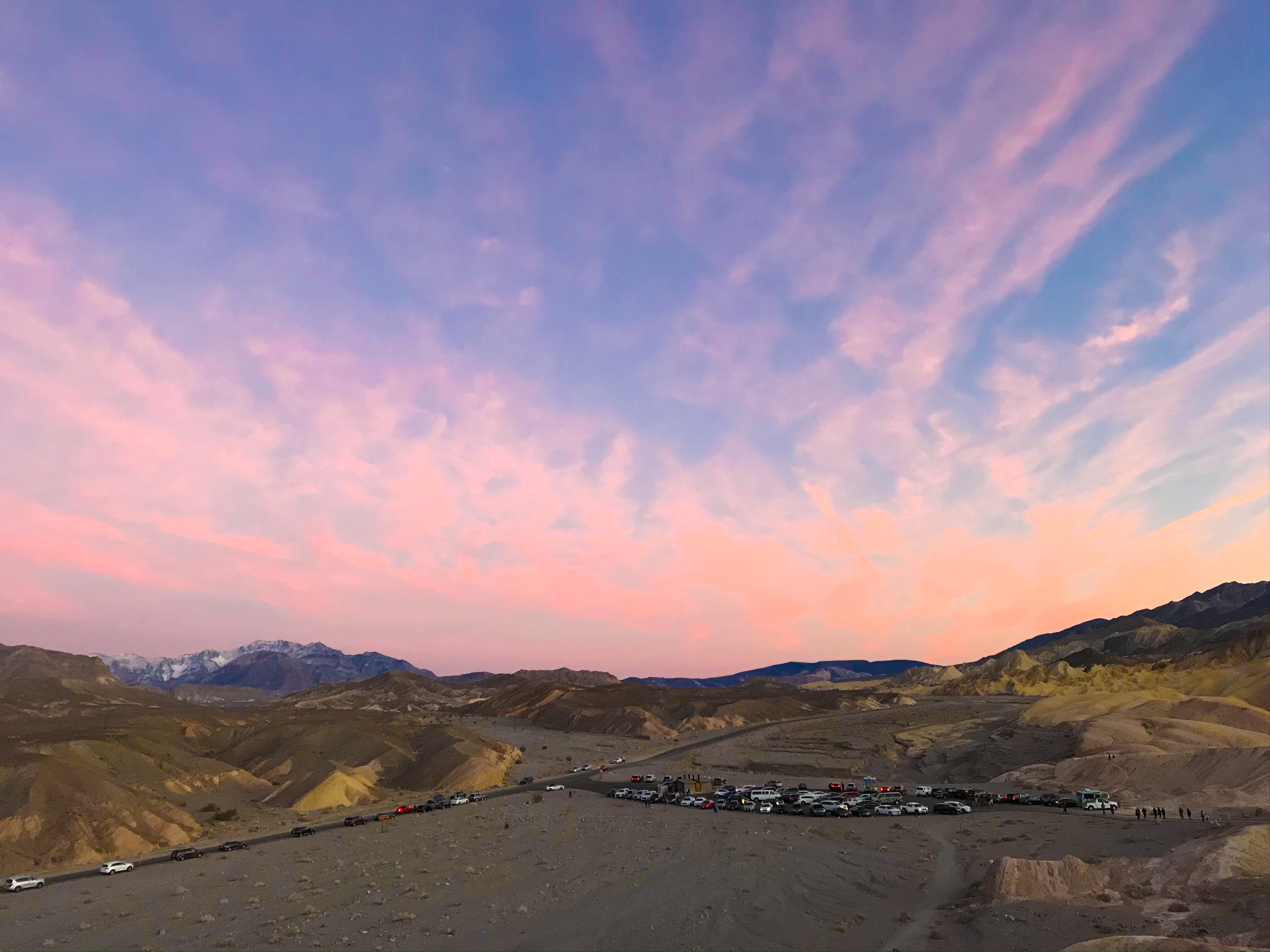
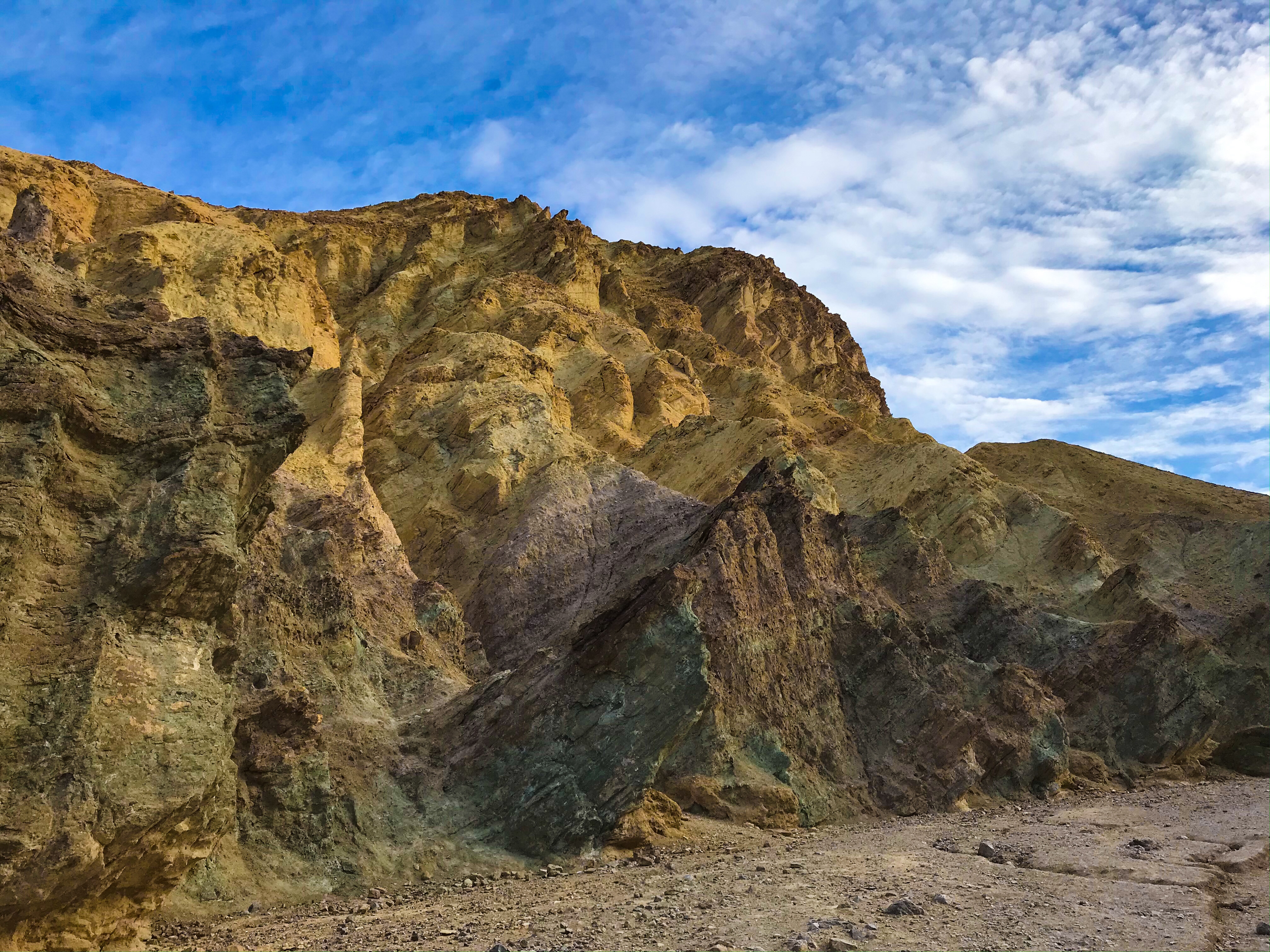
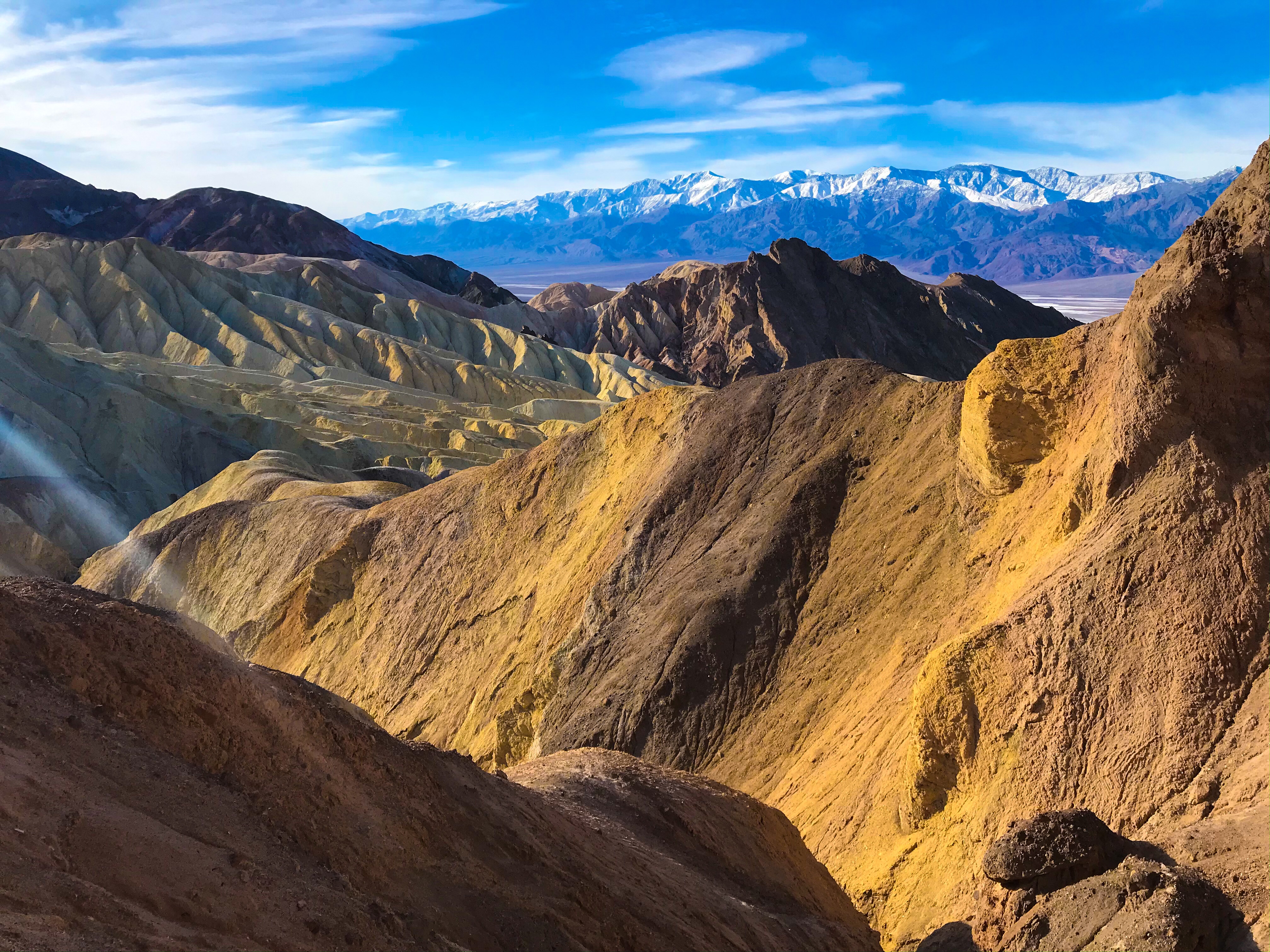
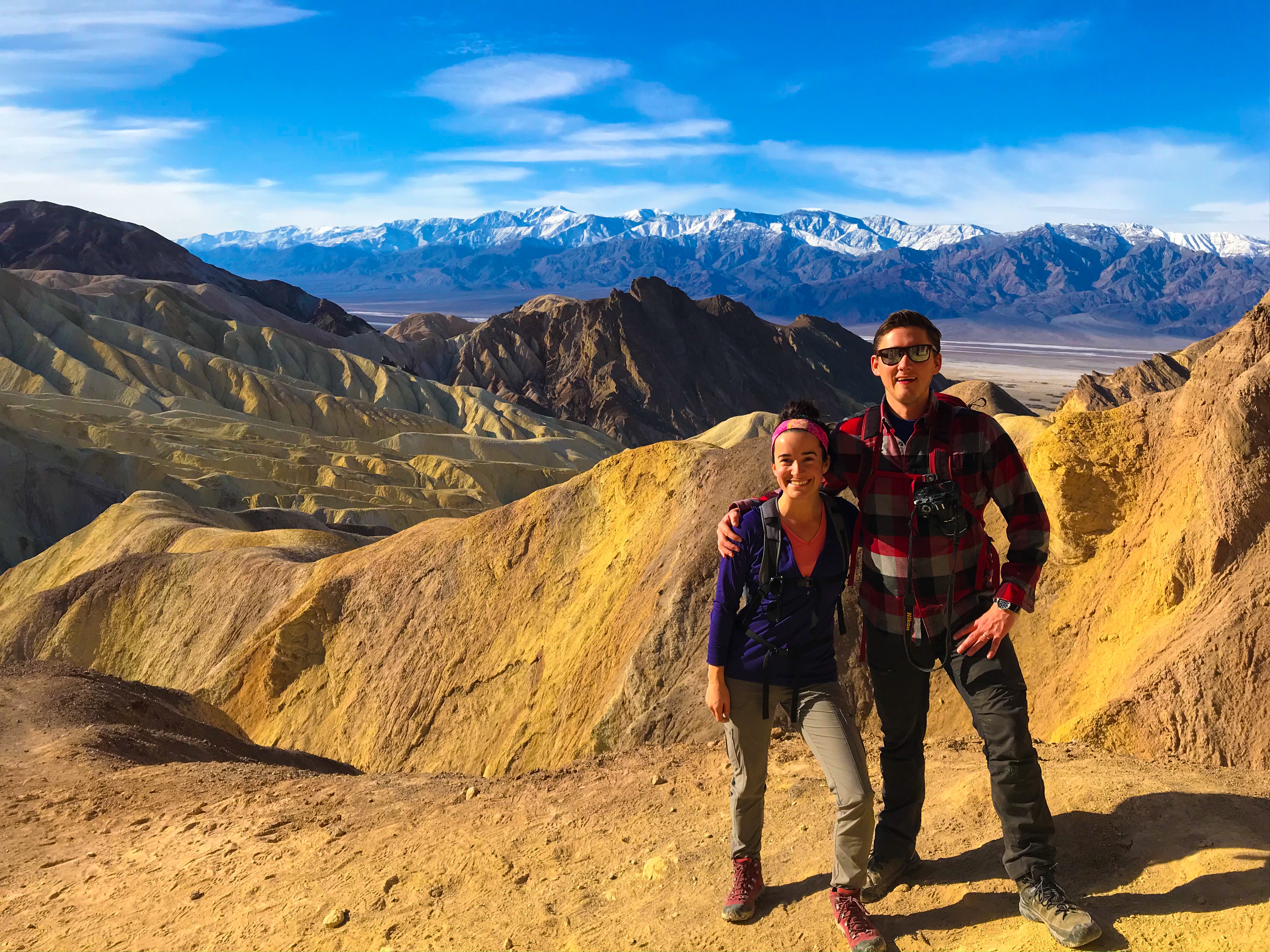
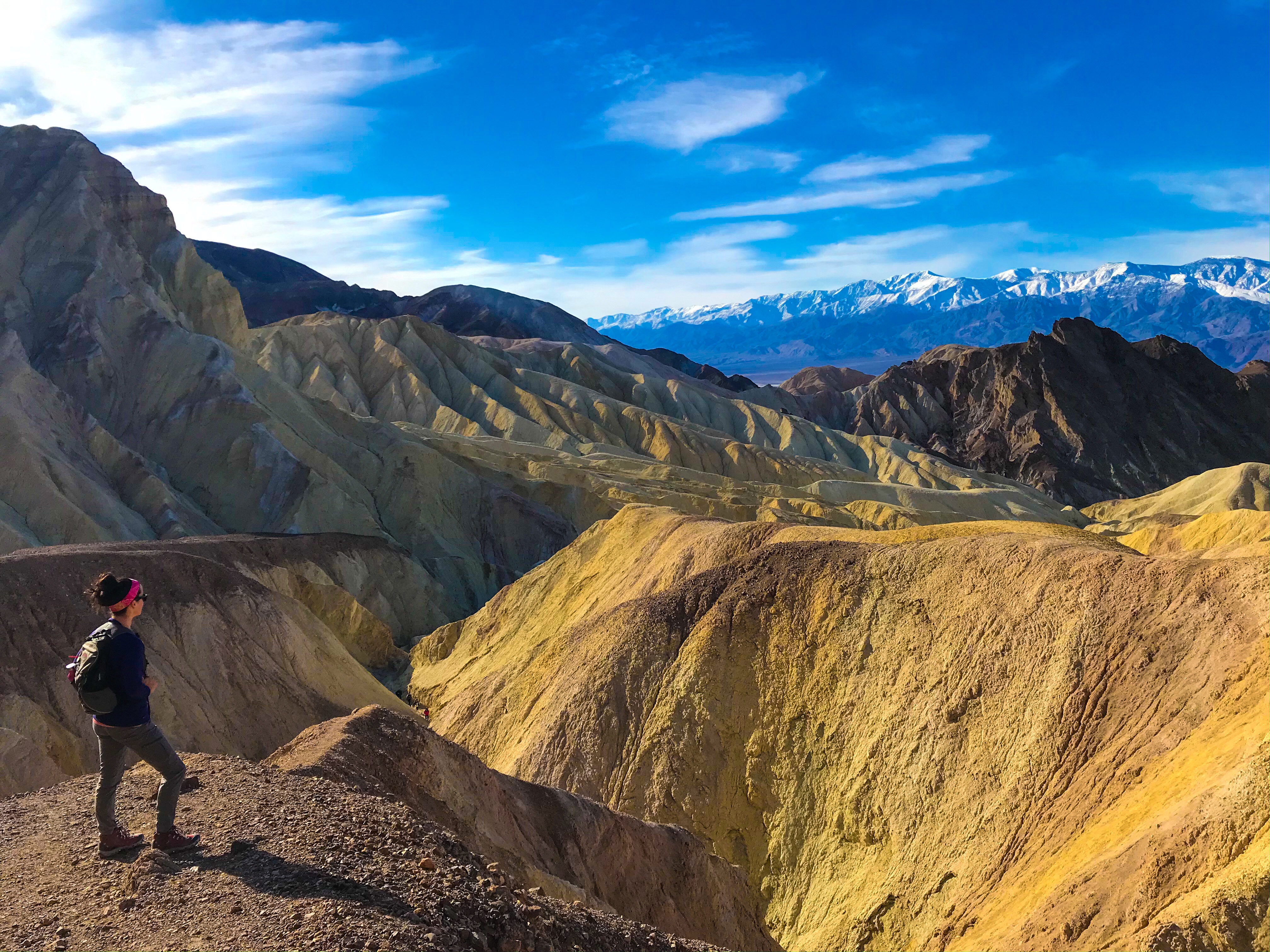
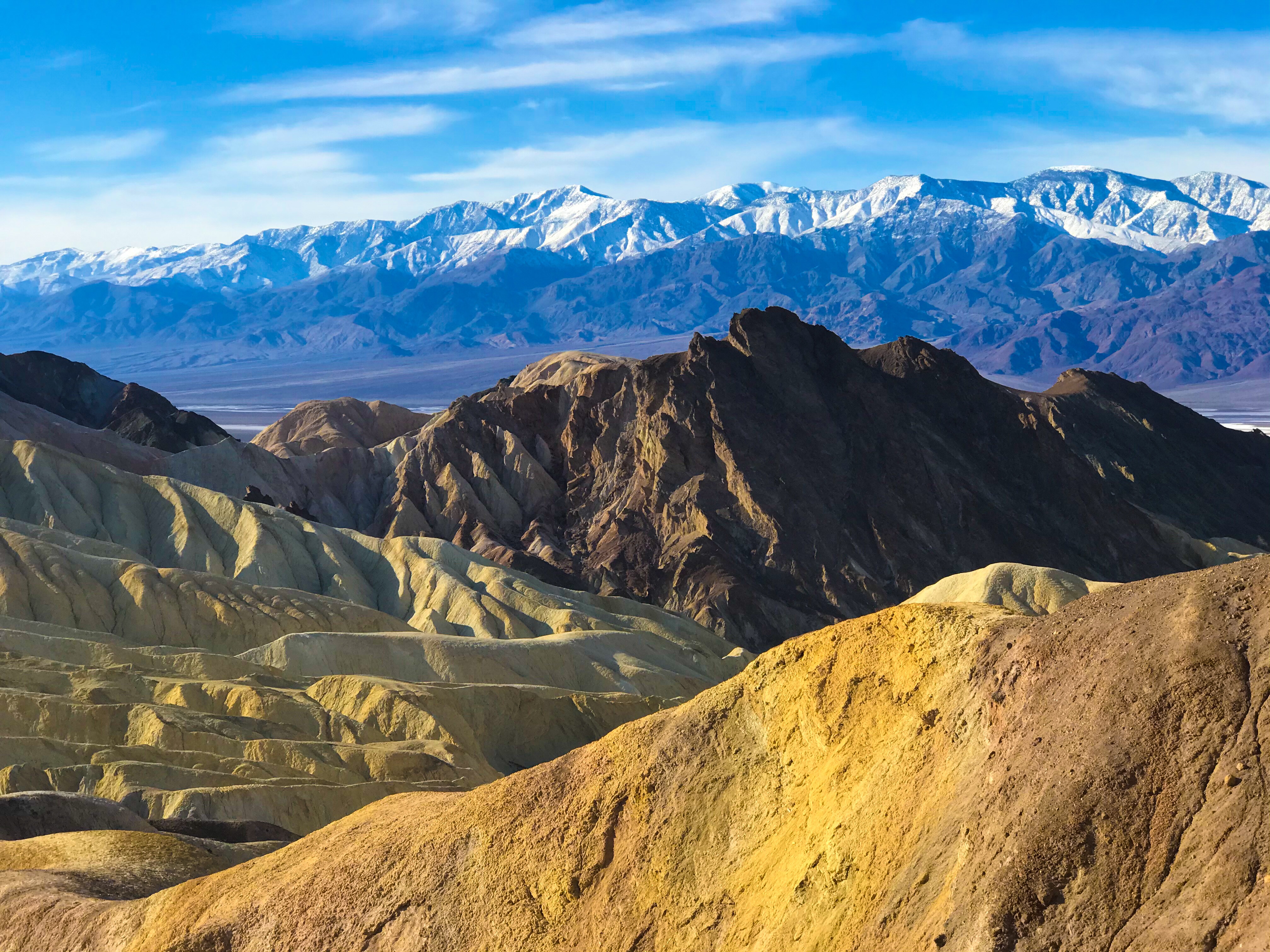
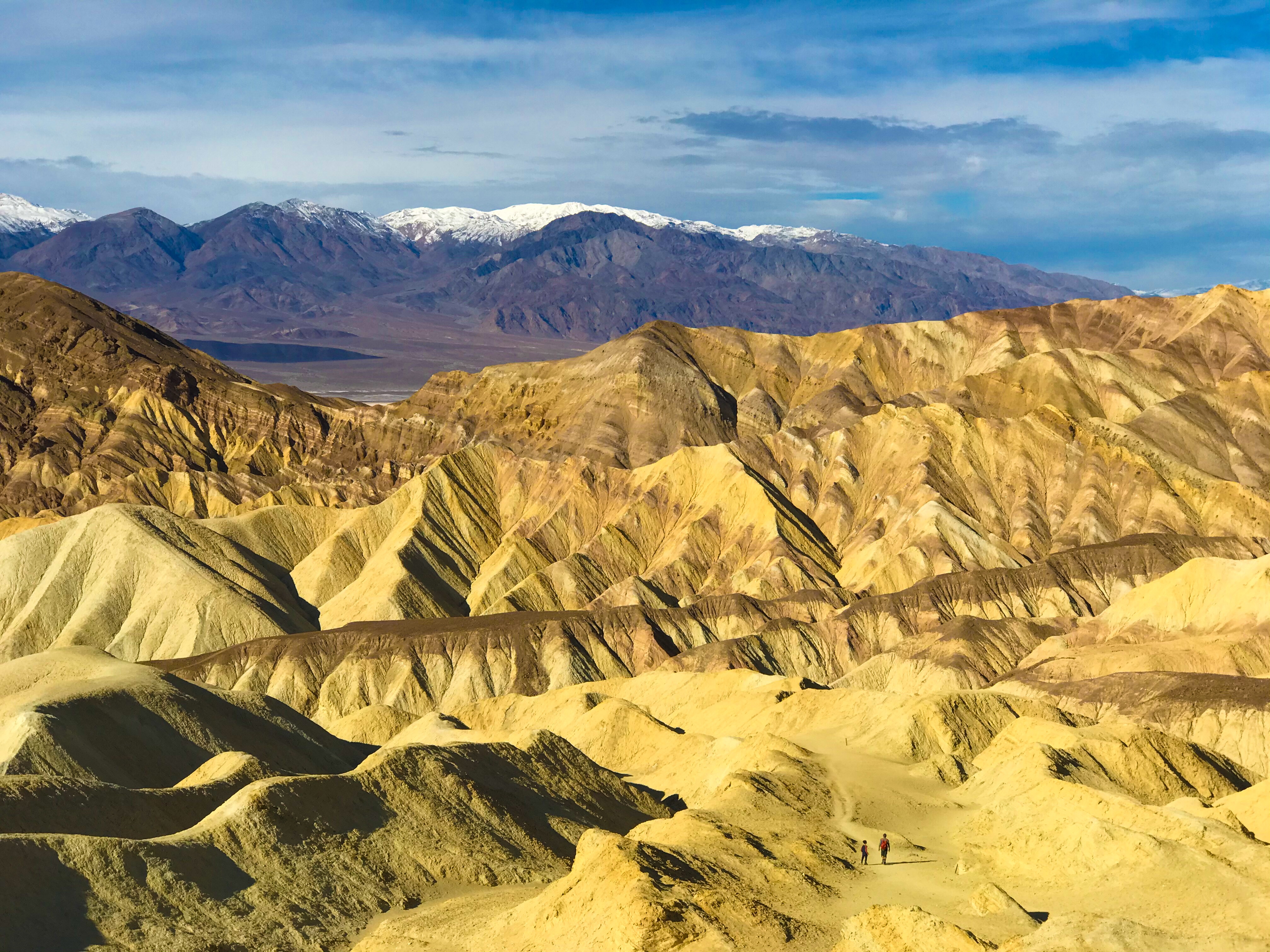
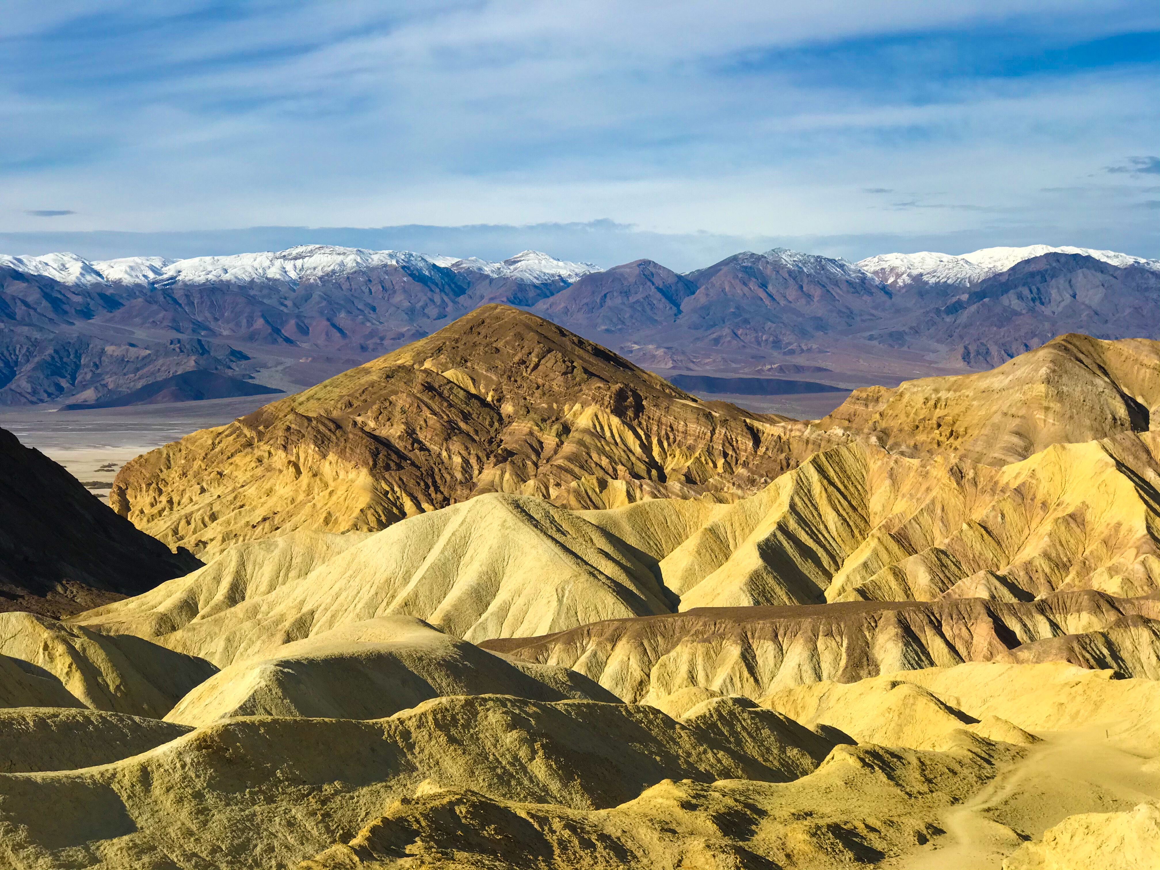
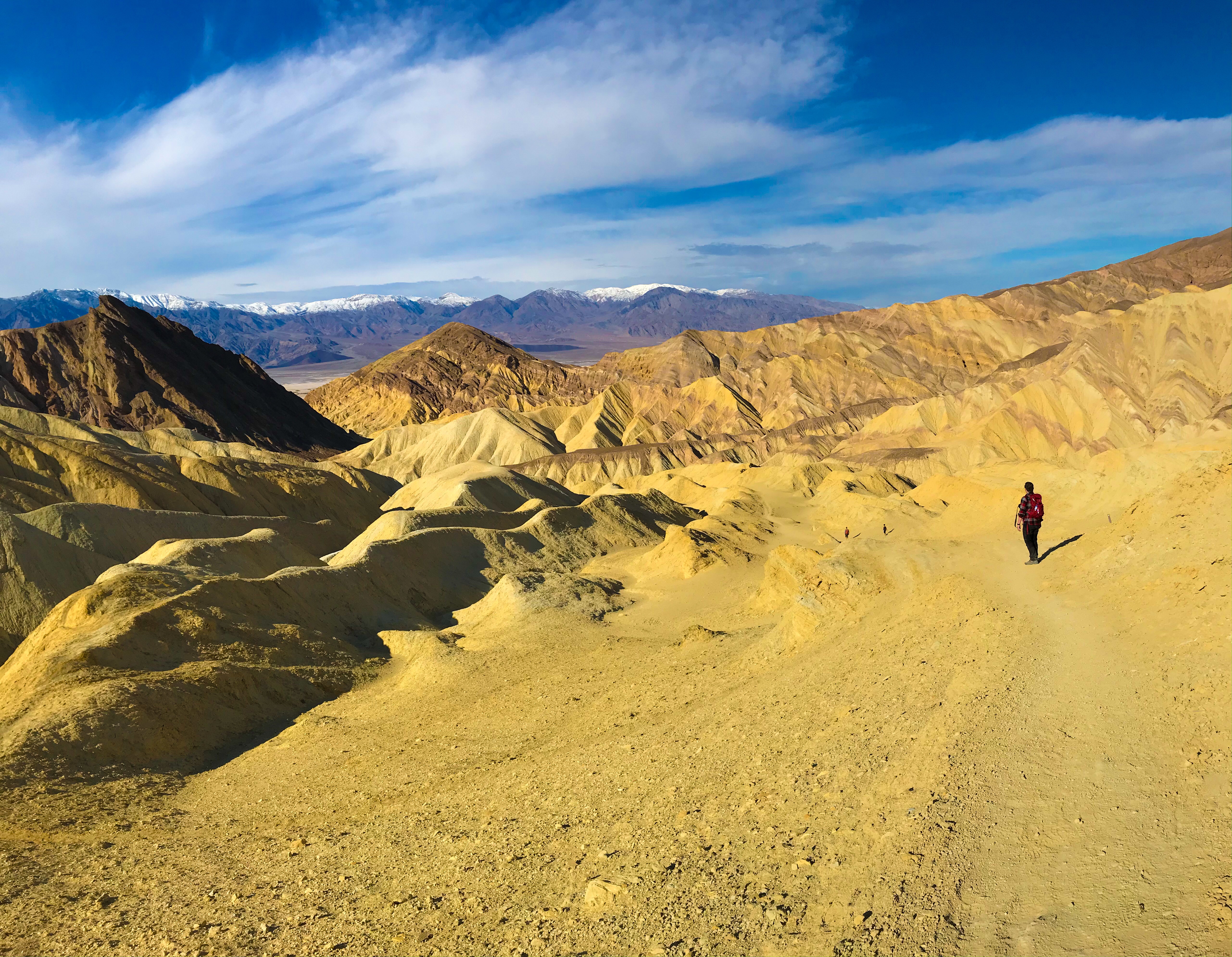
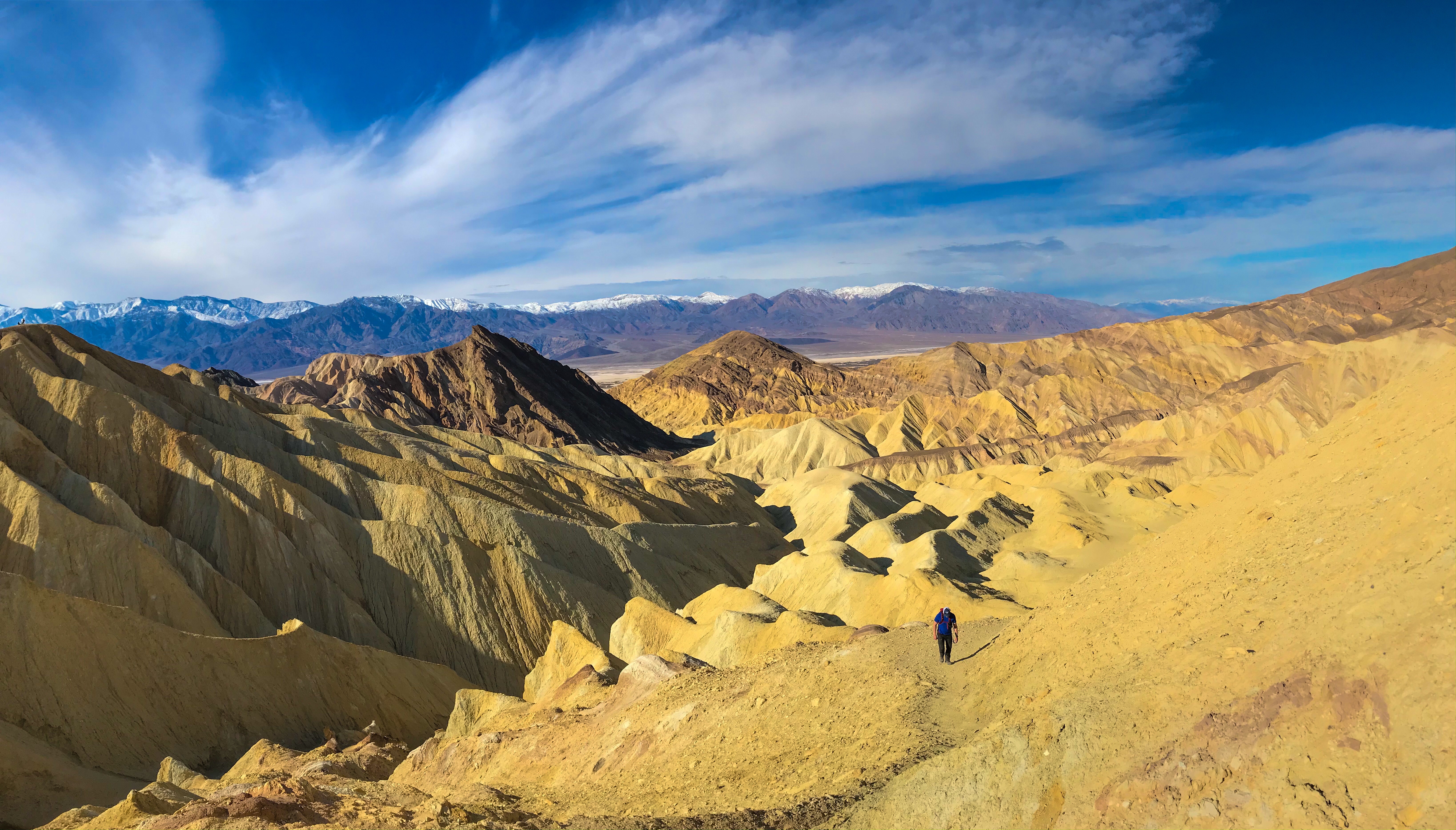
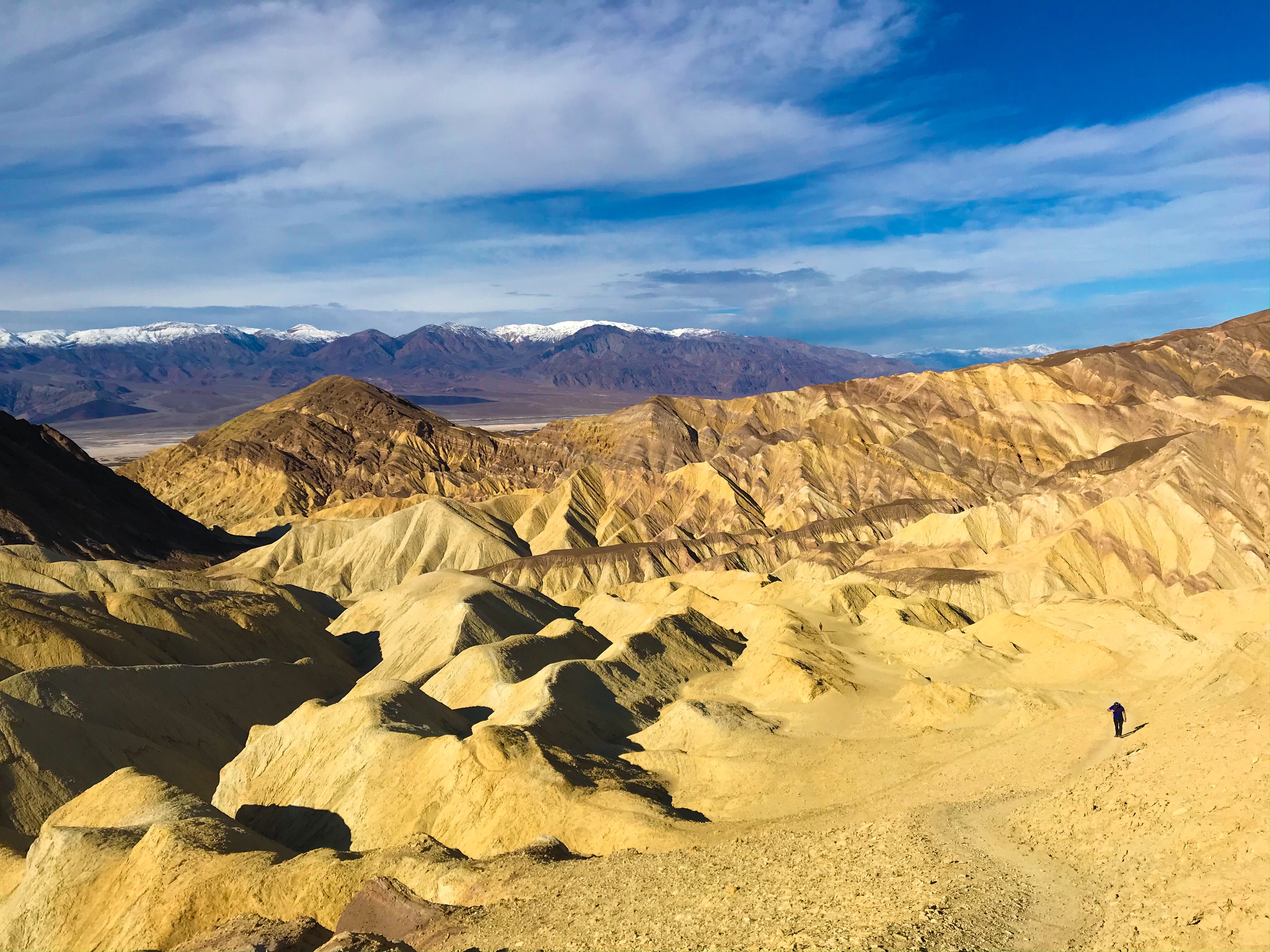
Zabriskie Point & Trail
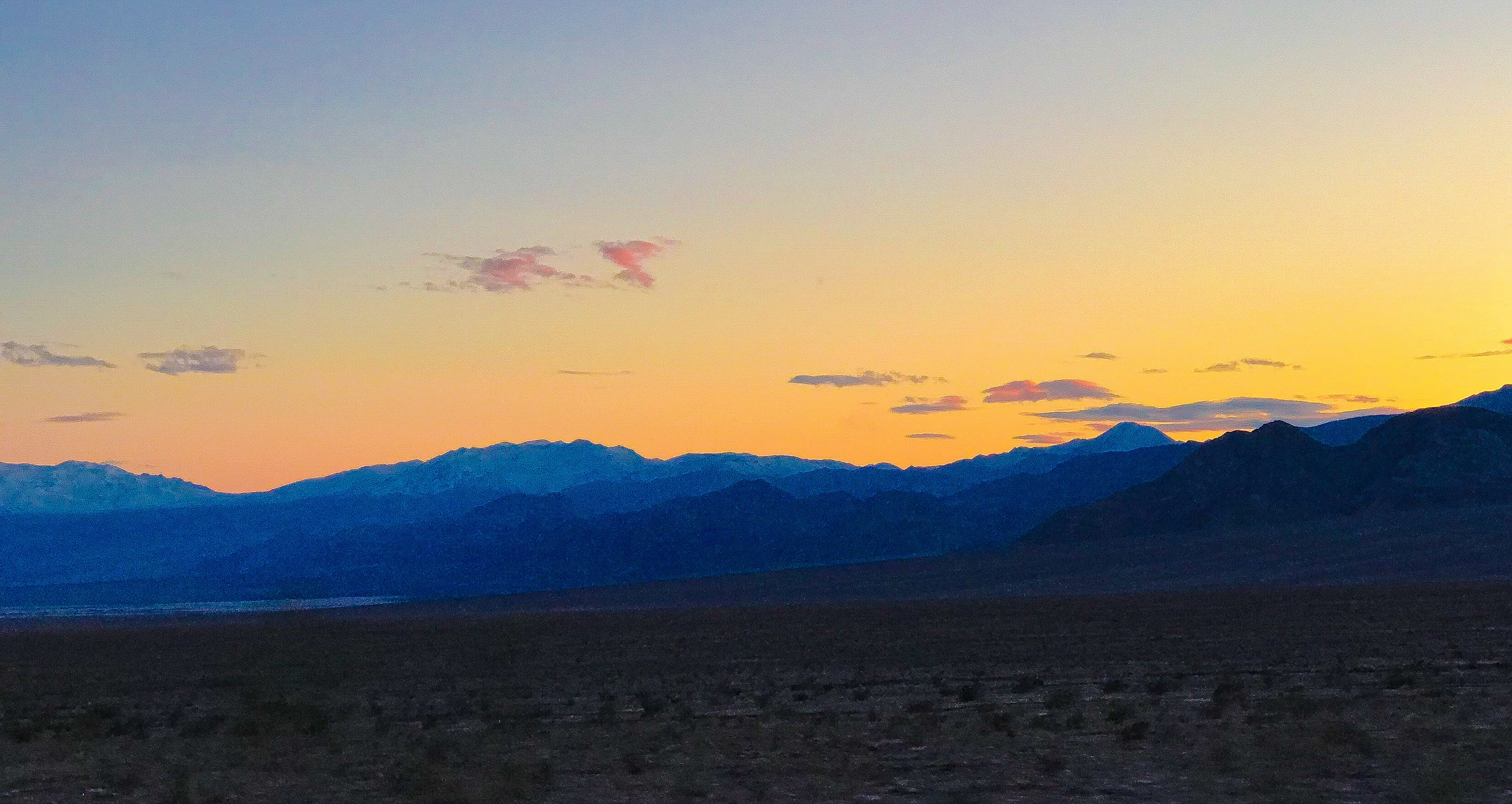
The last stop of the day was at Zabriskie Point. I wish we went first thing in the morning for two reasons – 1) there were a LOT of crowds any other time in the day except for first thing in the morning (there were already a lot of cars in the parking lot even as we drove by from our hotel at 7:30 a.m.!); and 2) the sunlight creeping over the hills surrounding Zabriskie Point reflected beautifully (as seen from the car) on Telescope Peak and the mountain range opposite of Zabriskie Point.
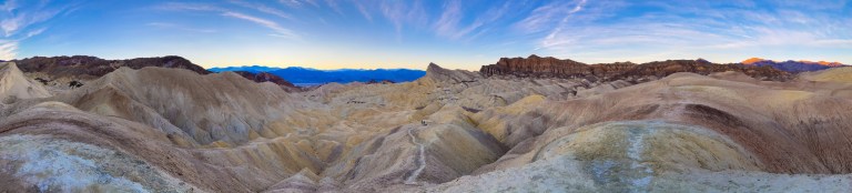
But alas, we went an hour or so before sunset (which is an incredibly popular time to go). There’s a paved path leading to a platform that overlooks the badlands, and then a trail that winds its way through them.
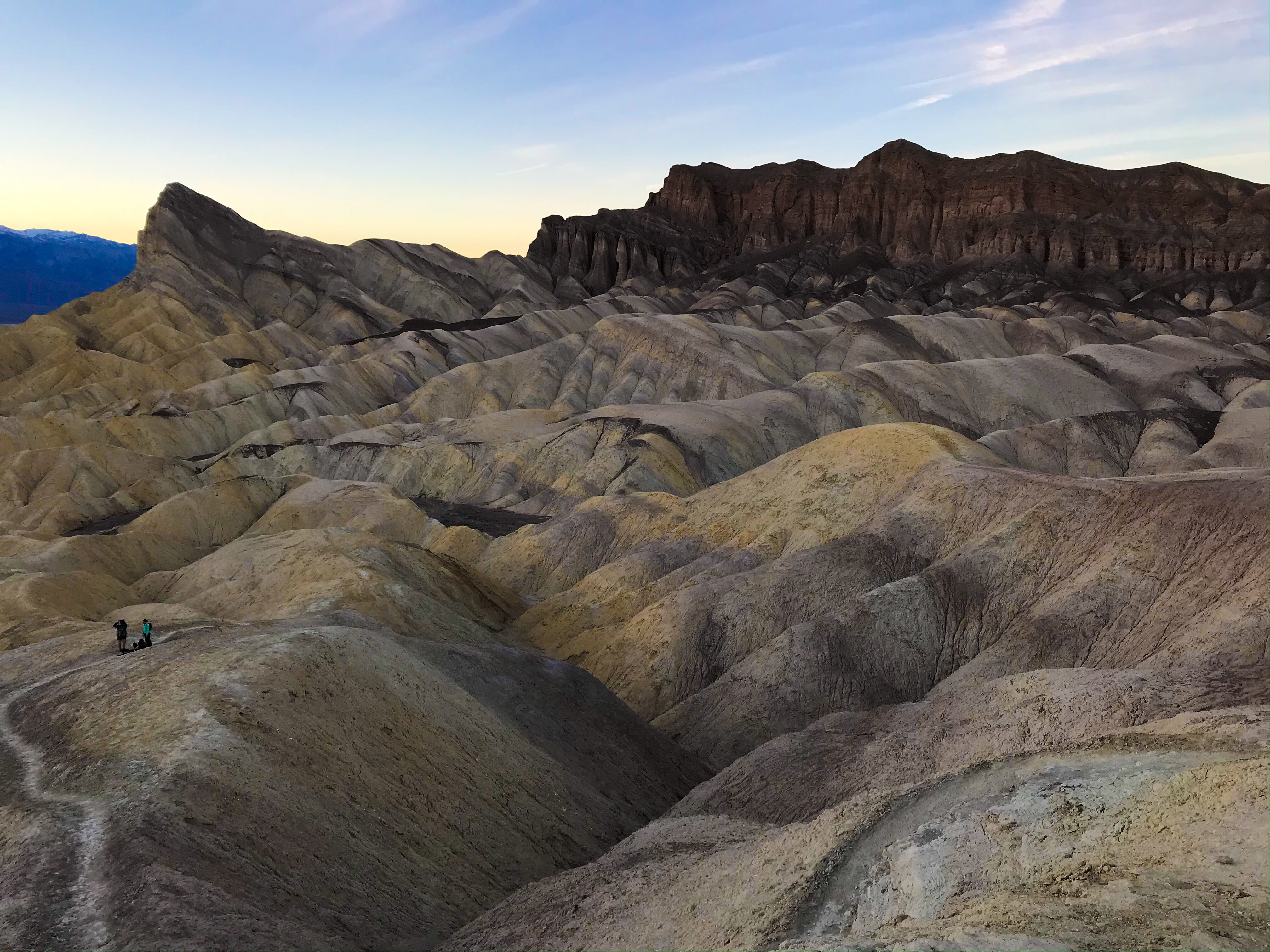
The hike we did is one section of a larger hike – Golden Canyon (on Badwater Road) connects to Zabriskie Point via a Loop Trail (see below).
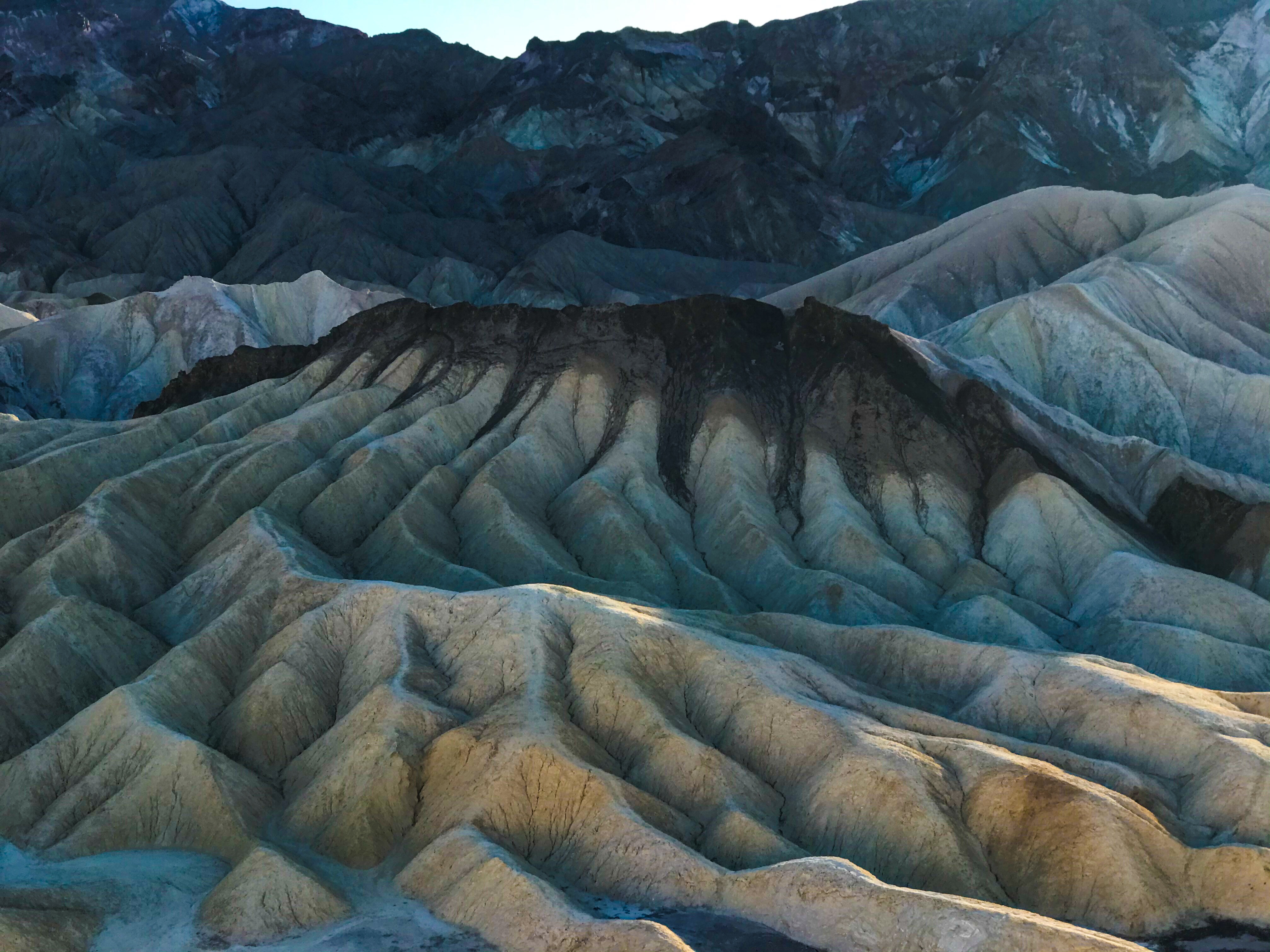
Sunset was stunning as the sun fell behind Telescope Peak.
Day 3
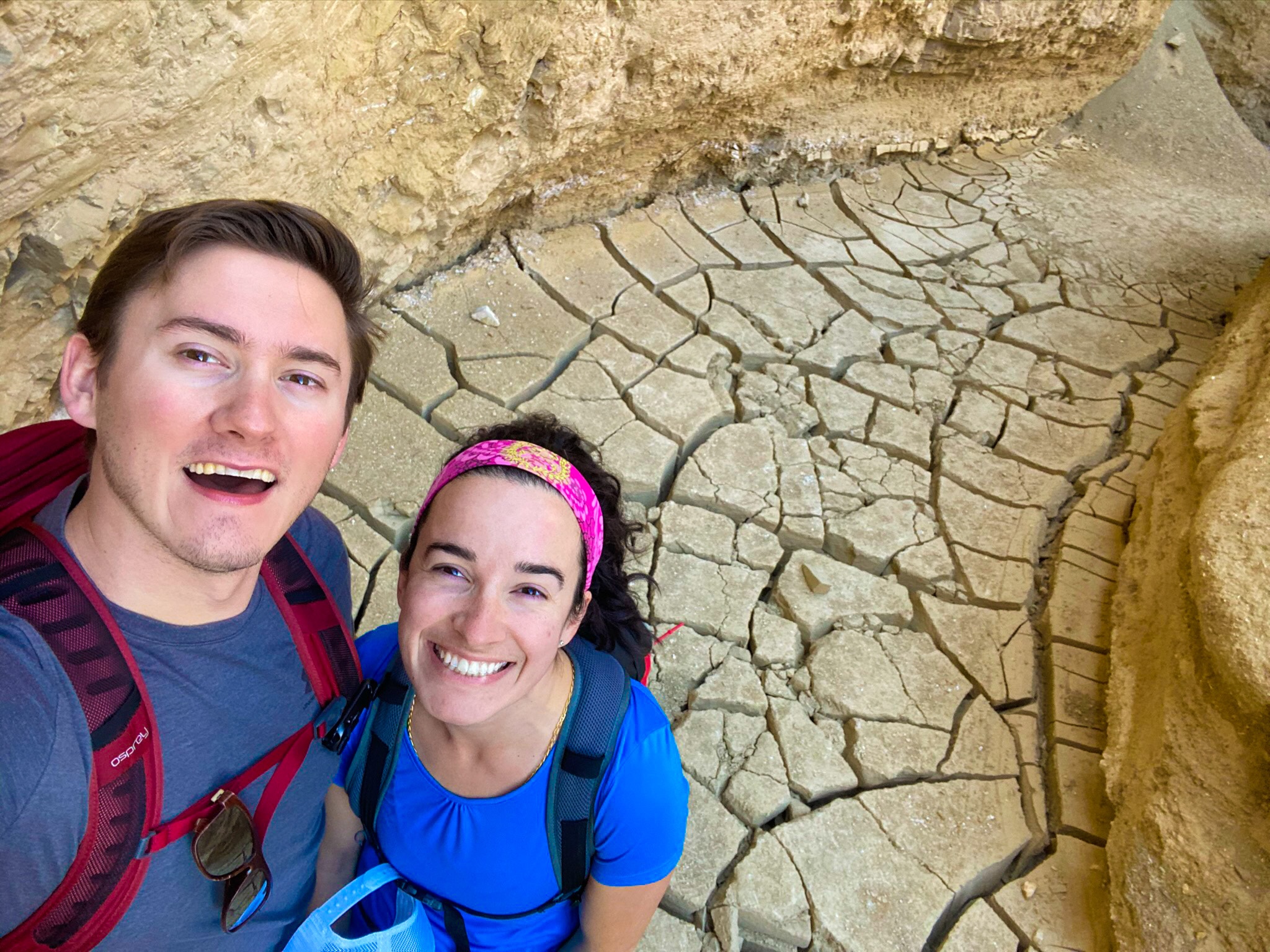
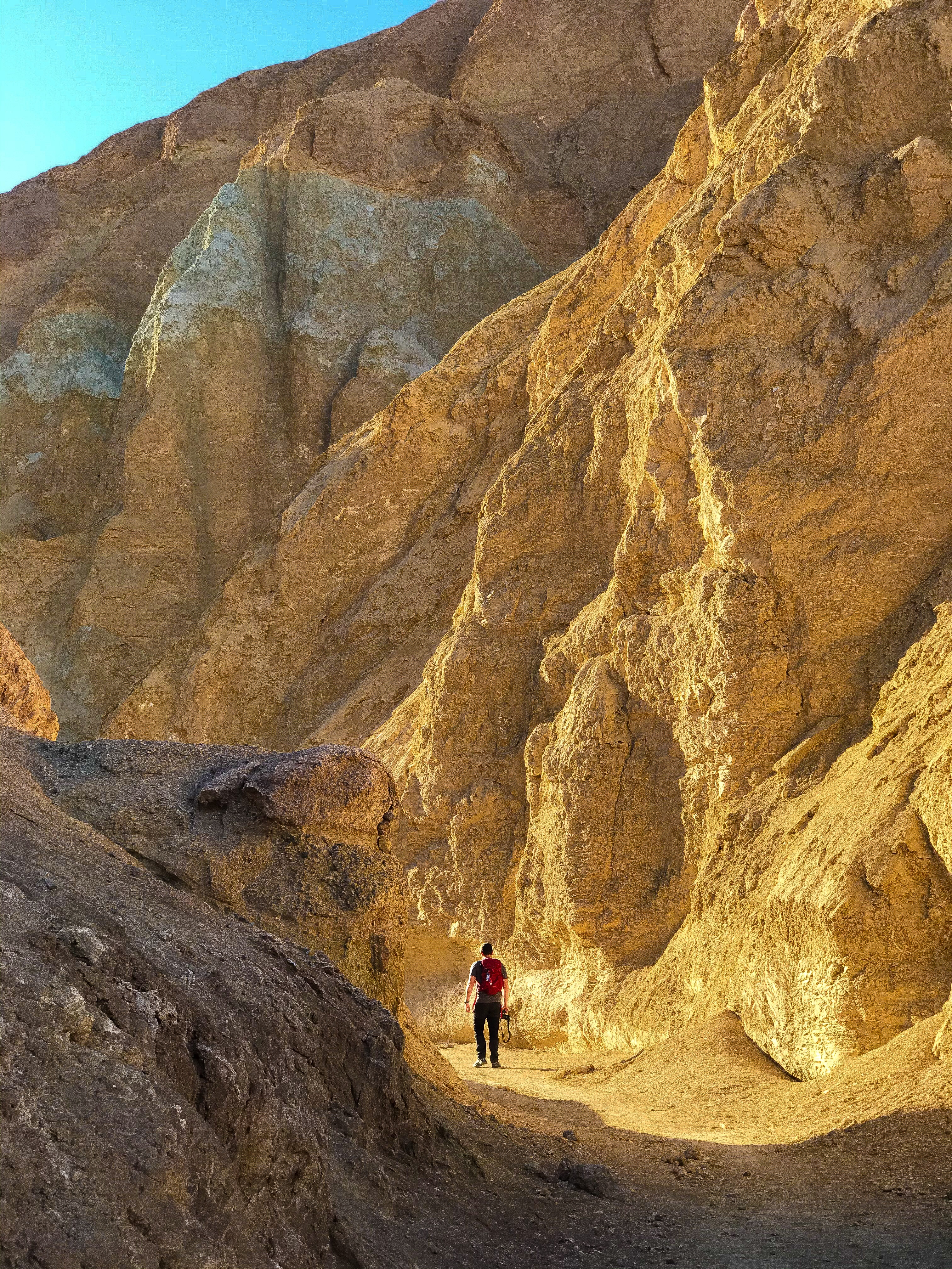
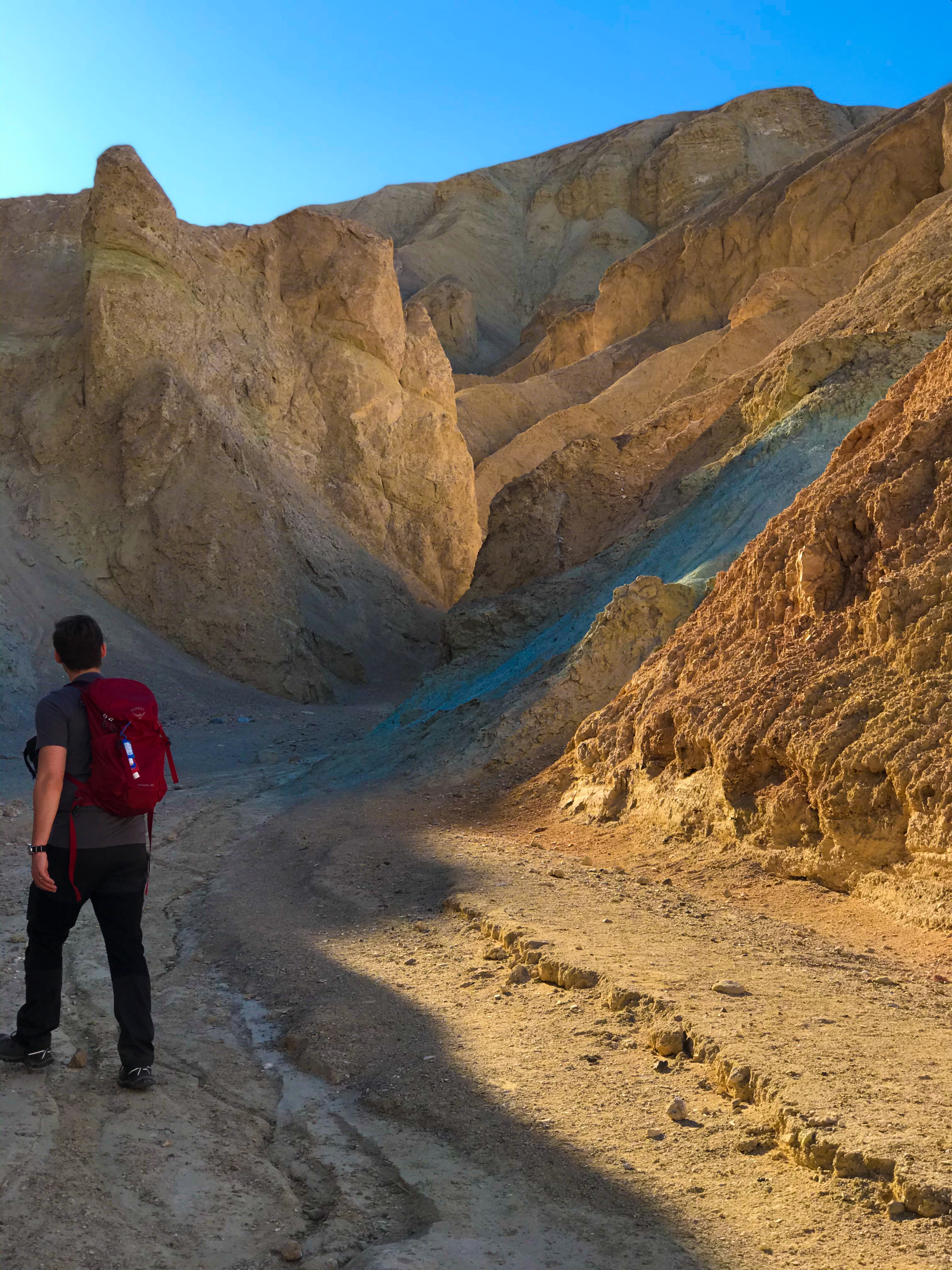
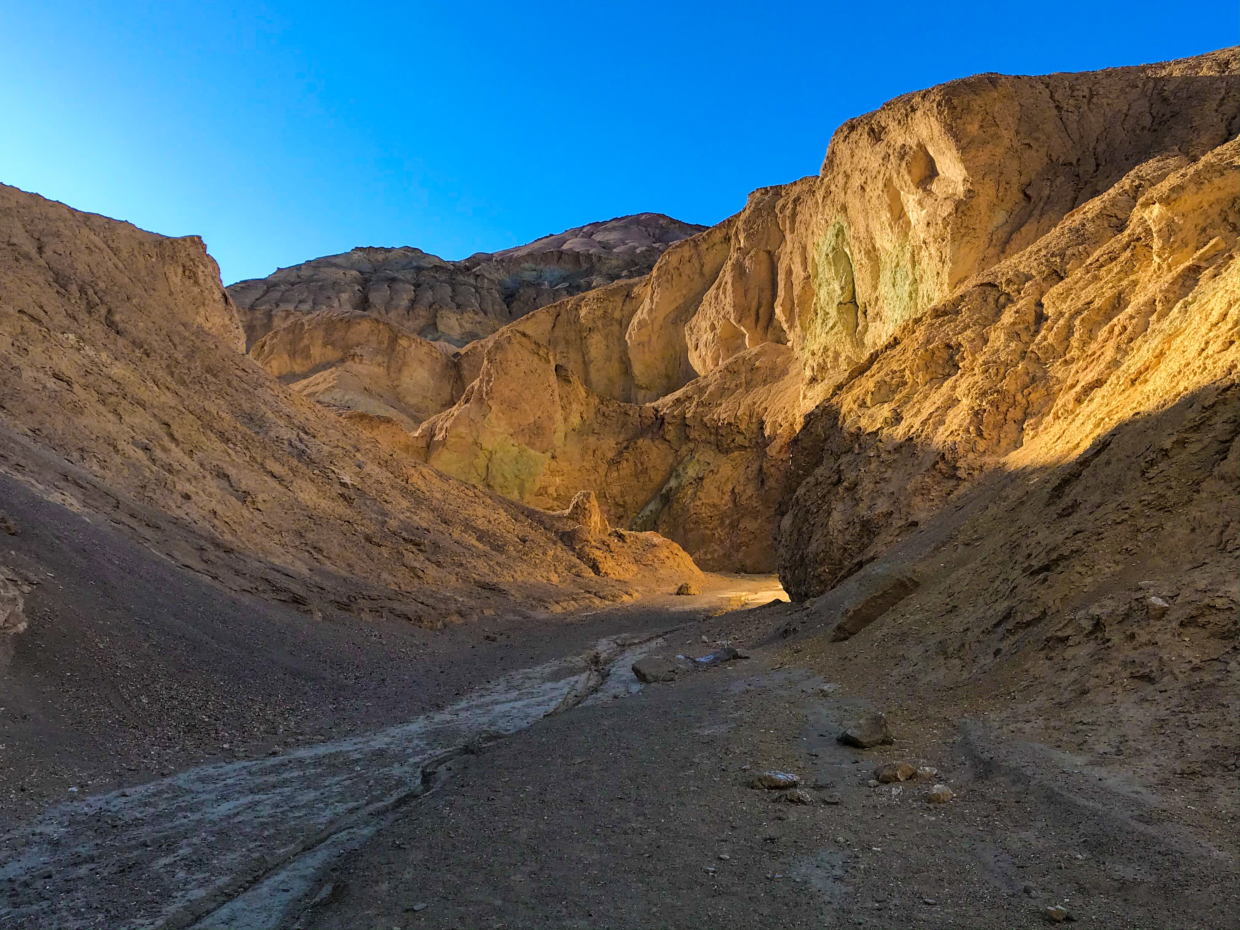
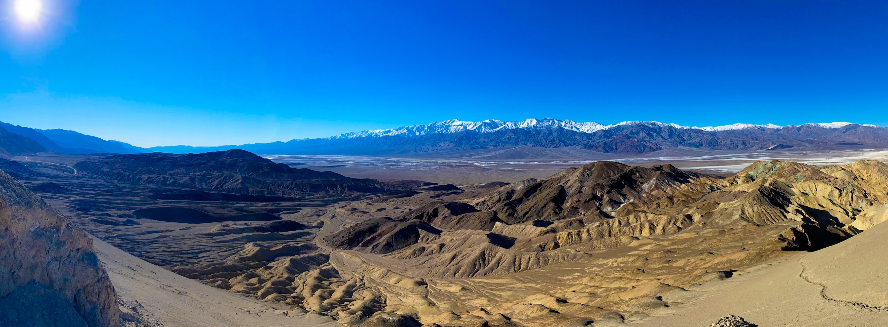
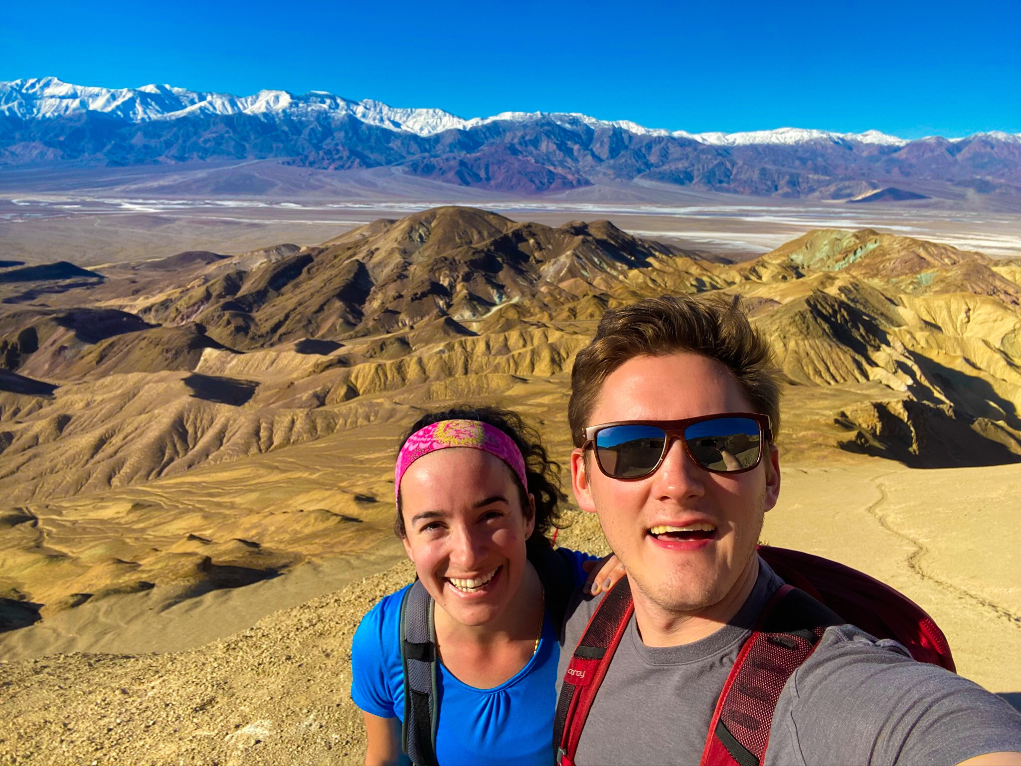
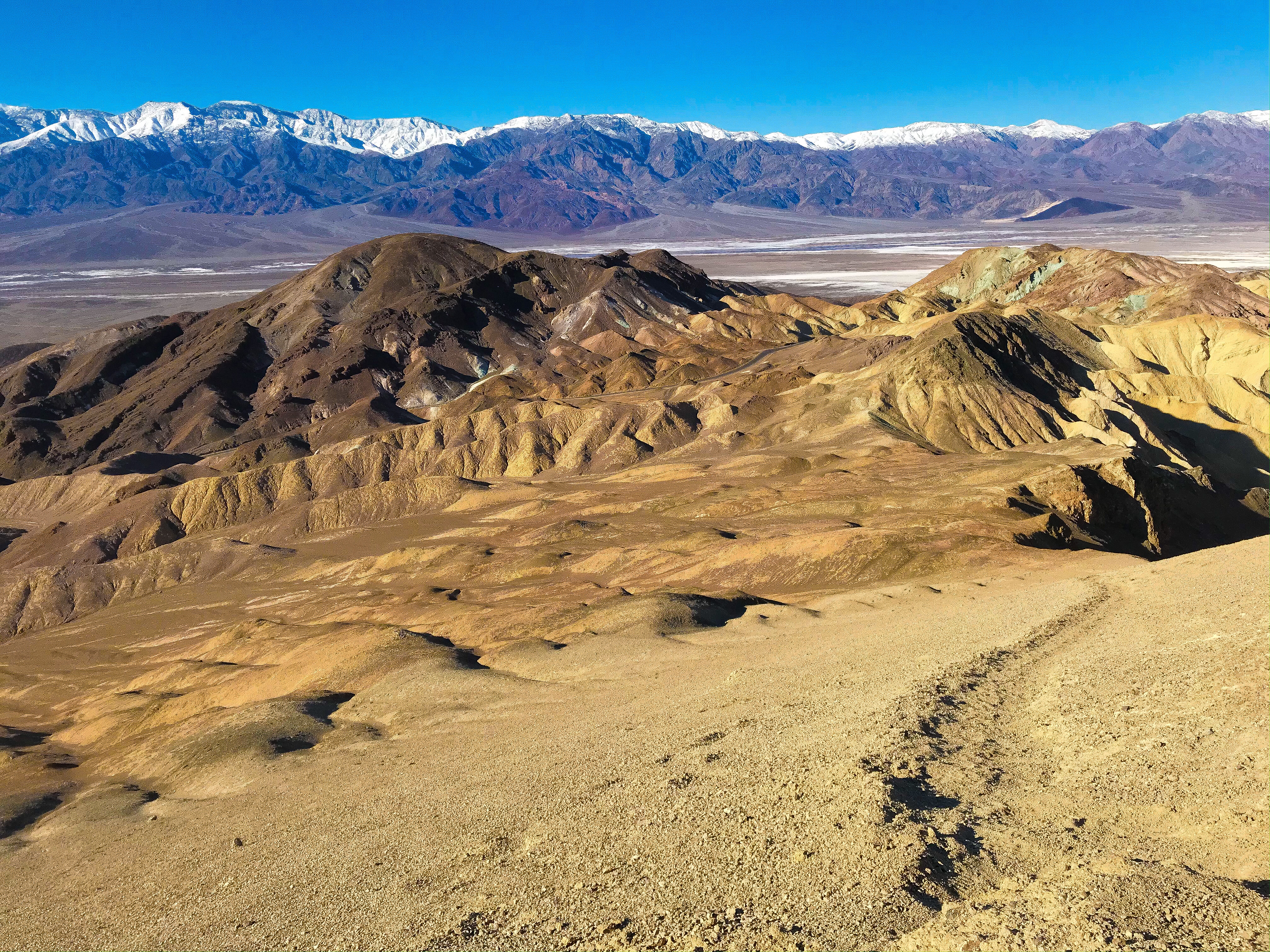
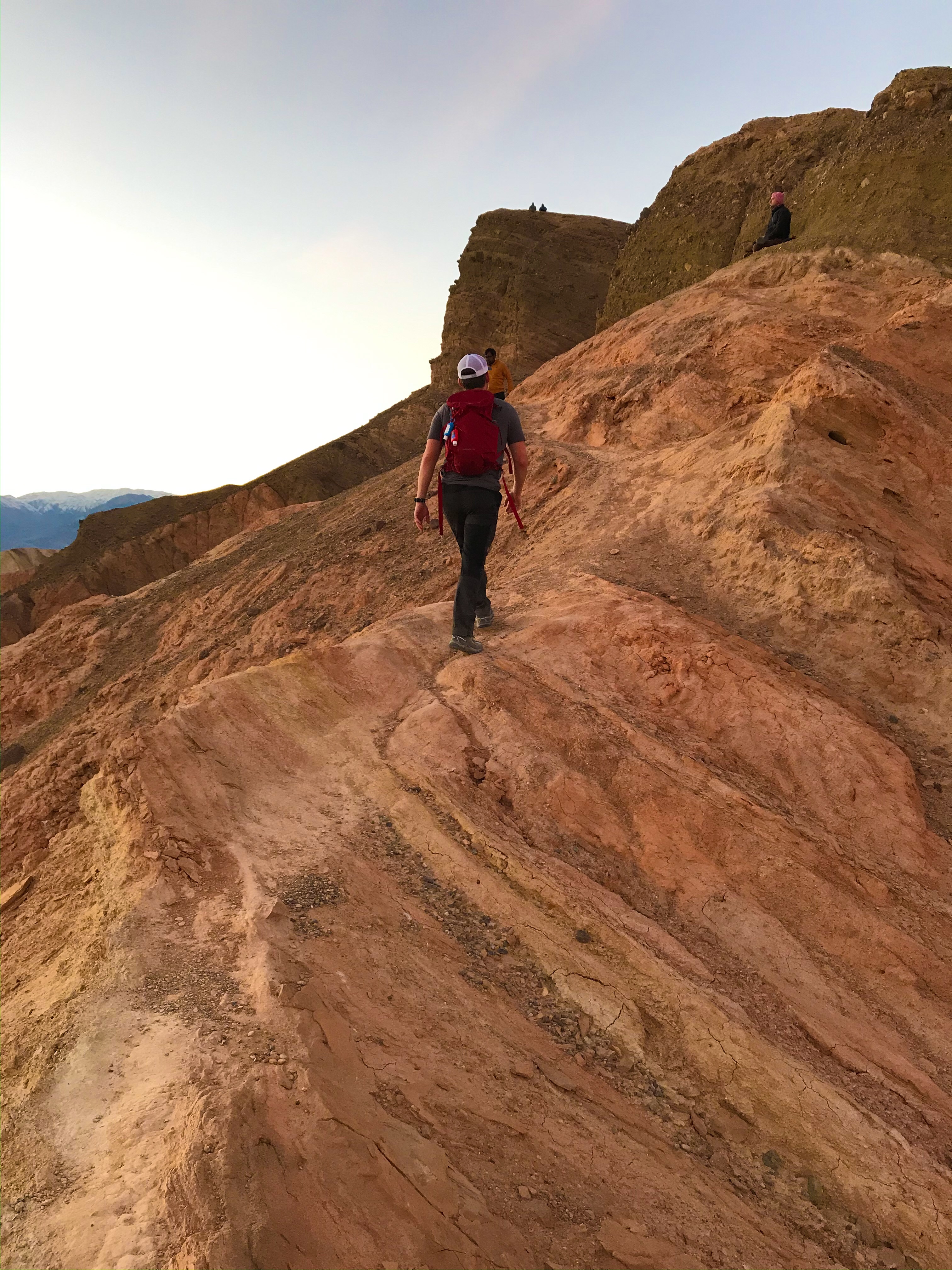
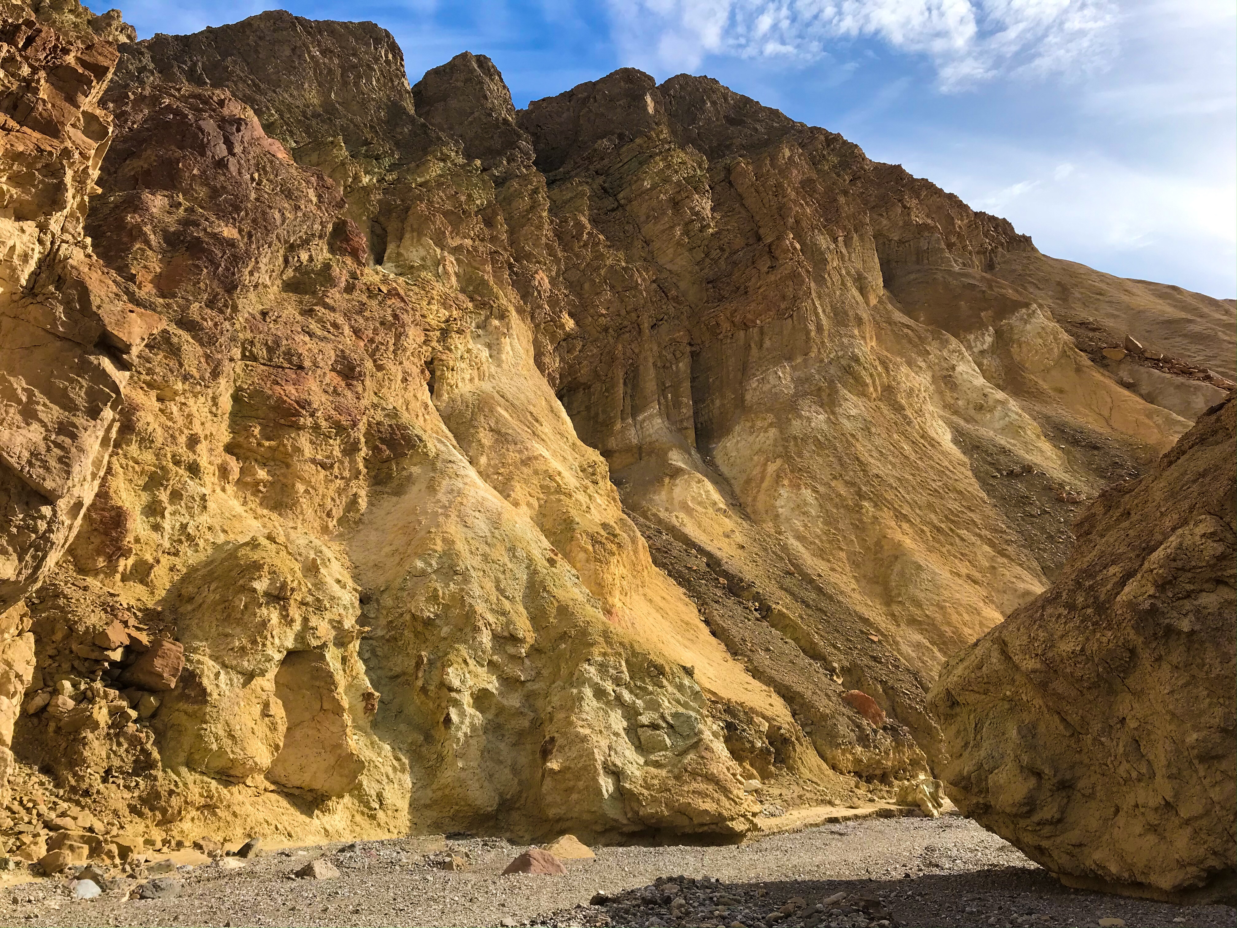
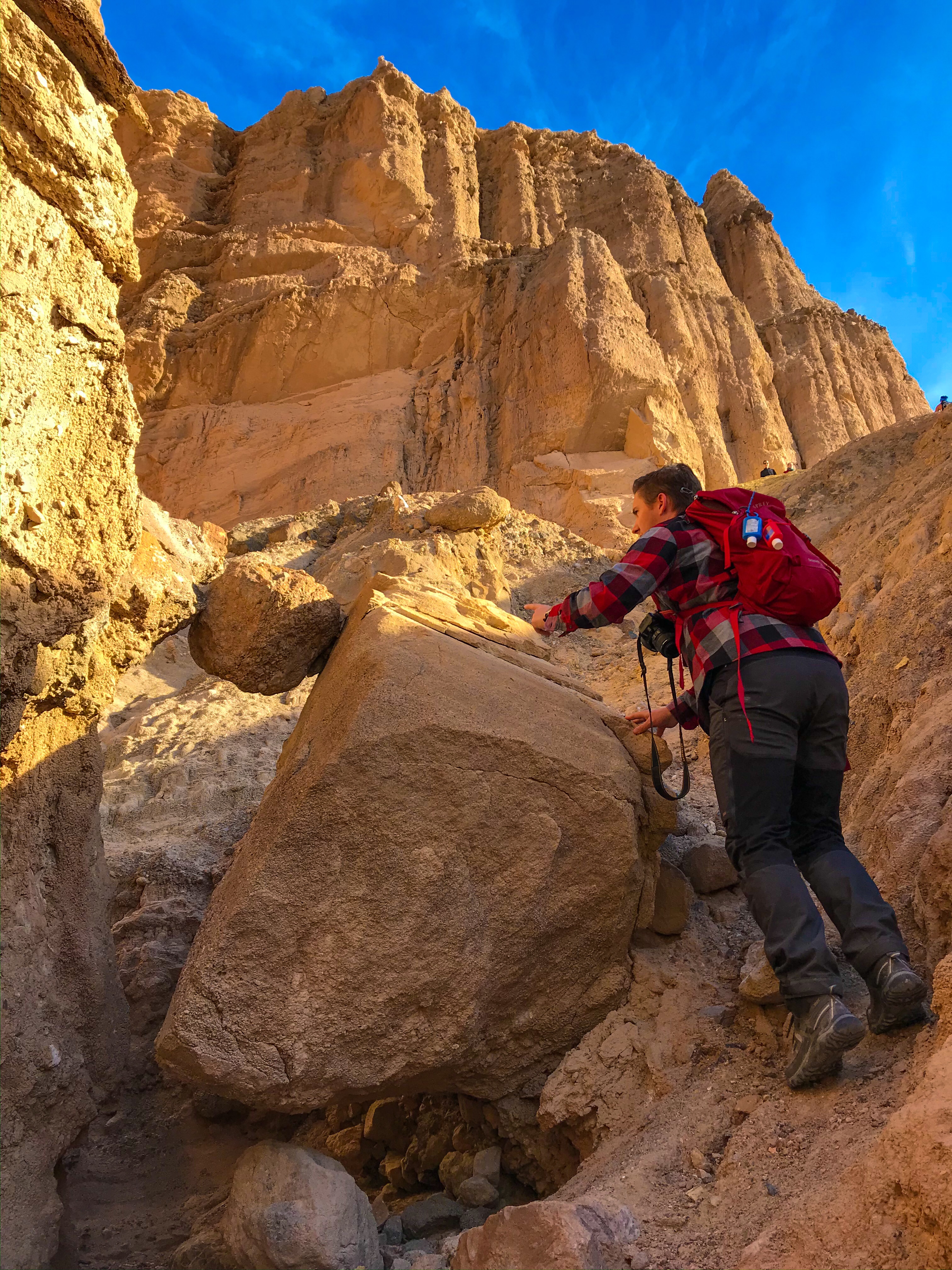
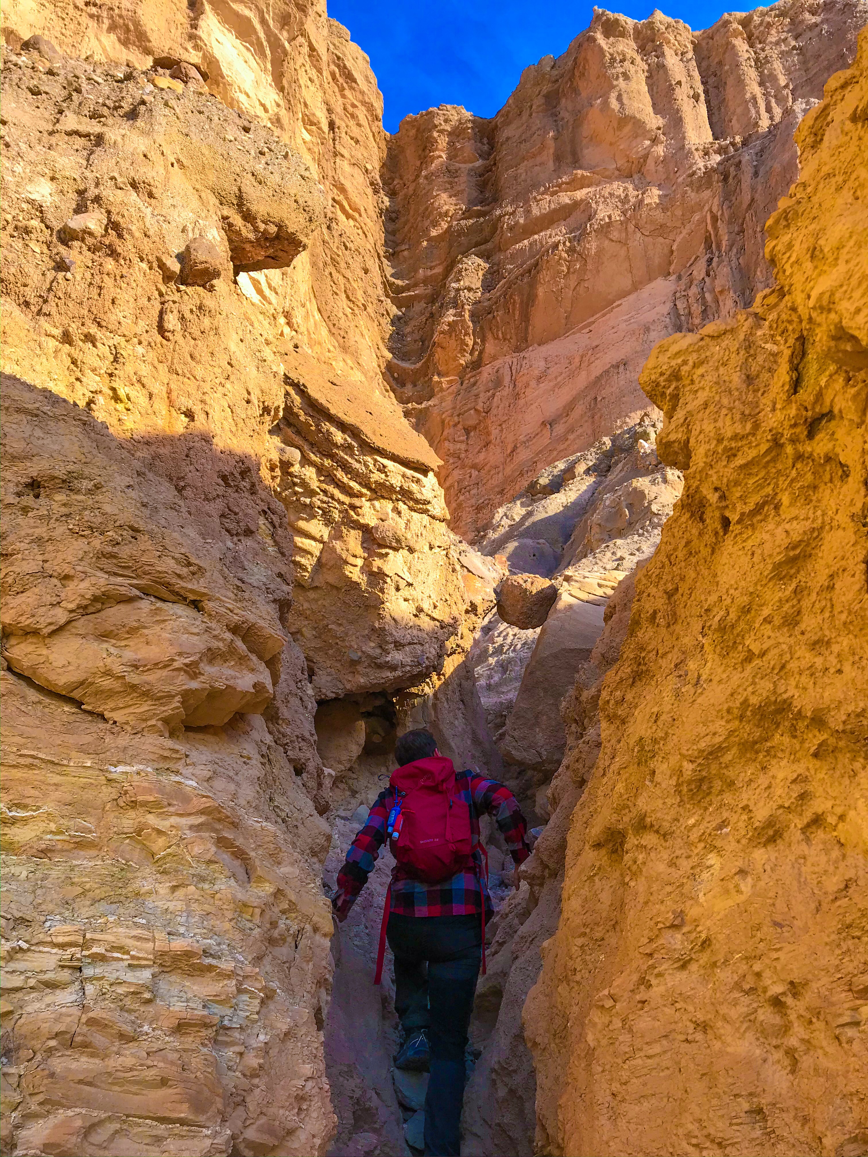
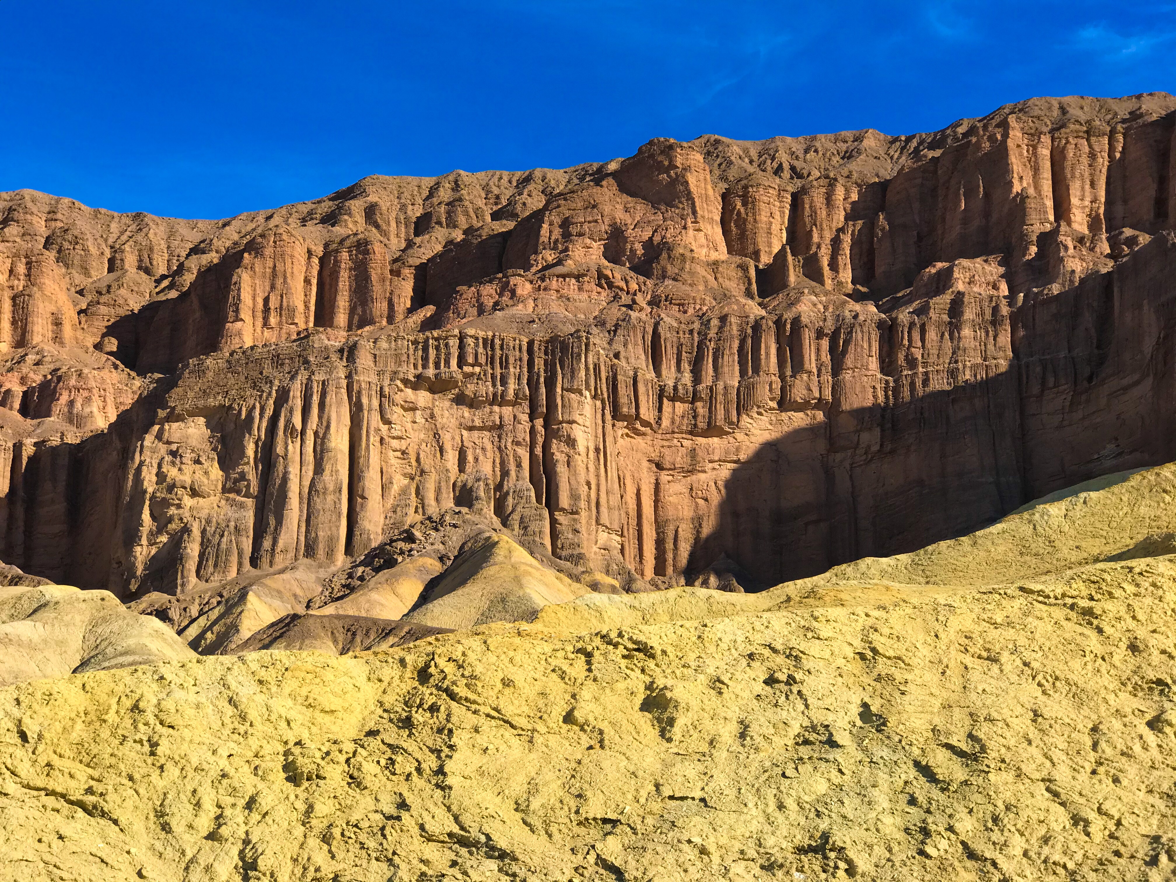
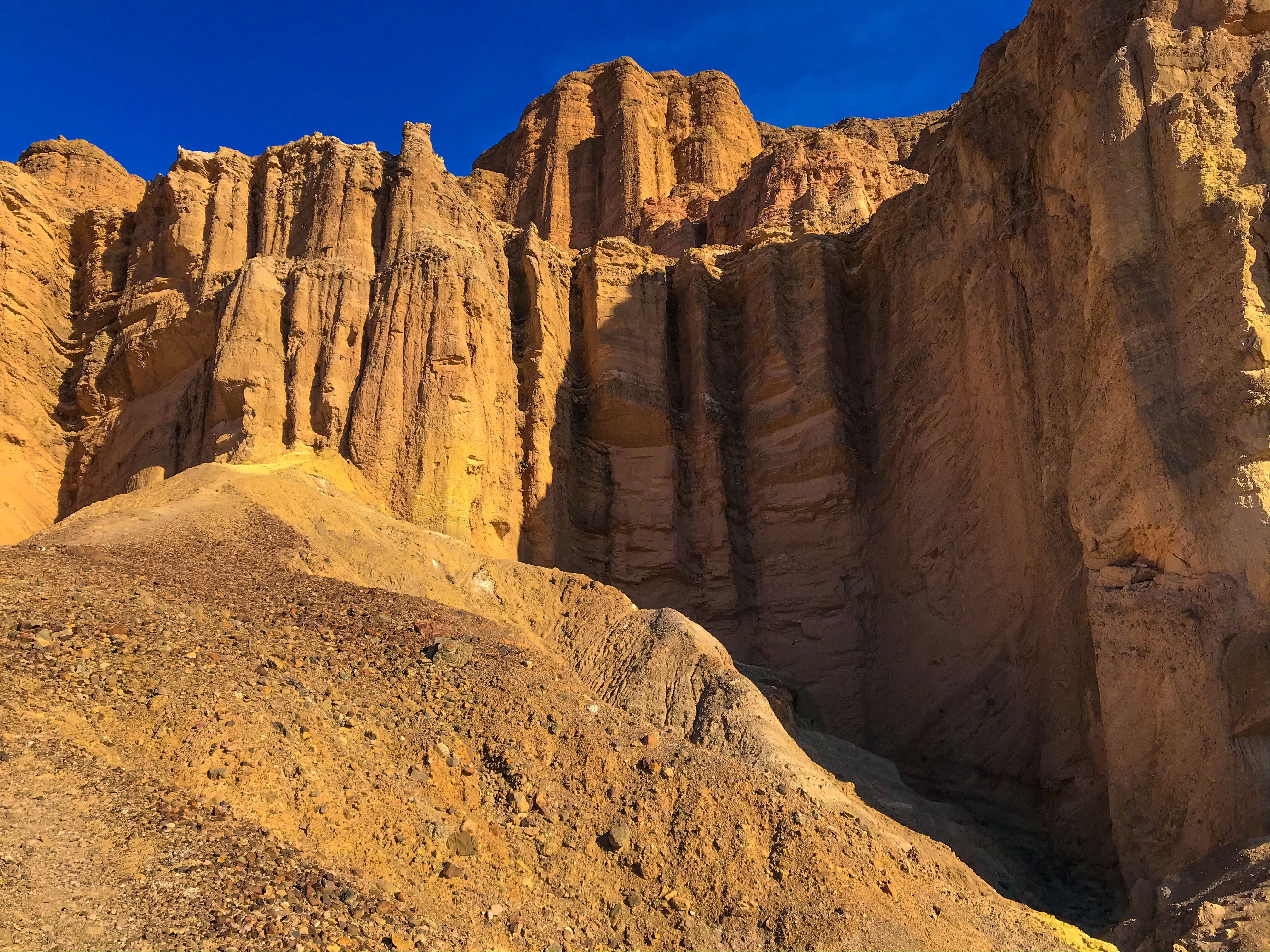
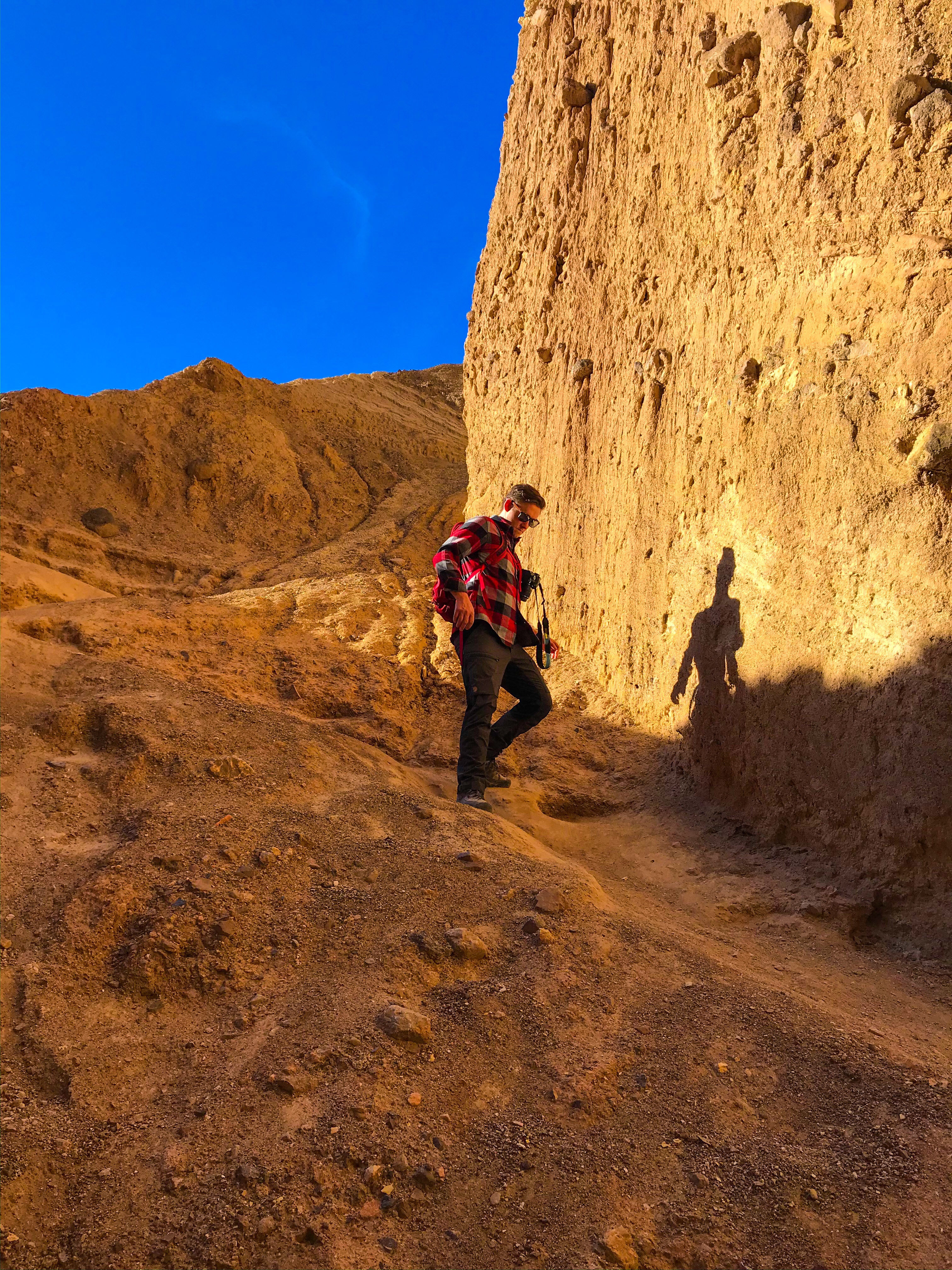
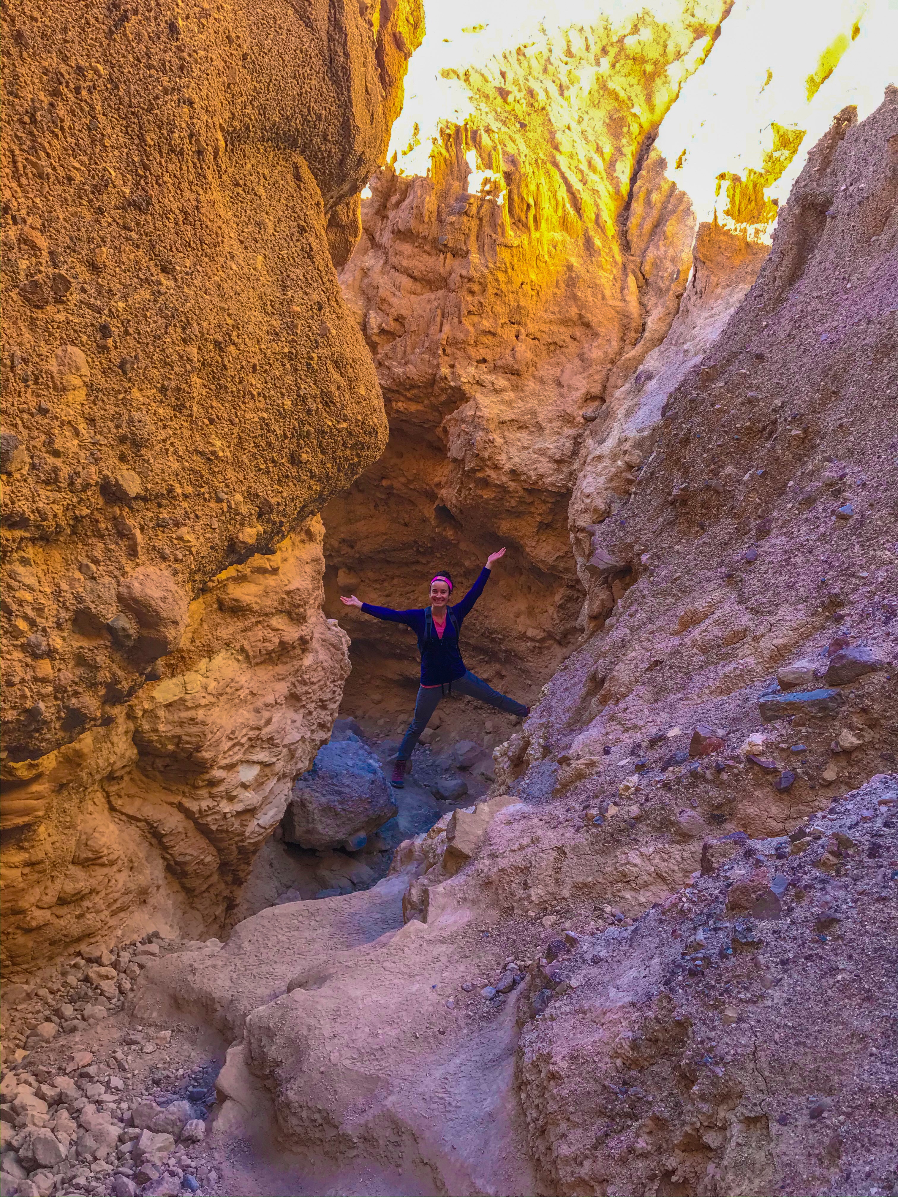
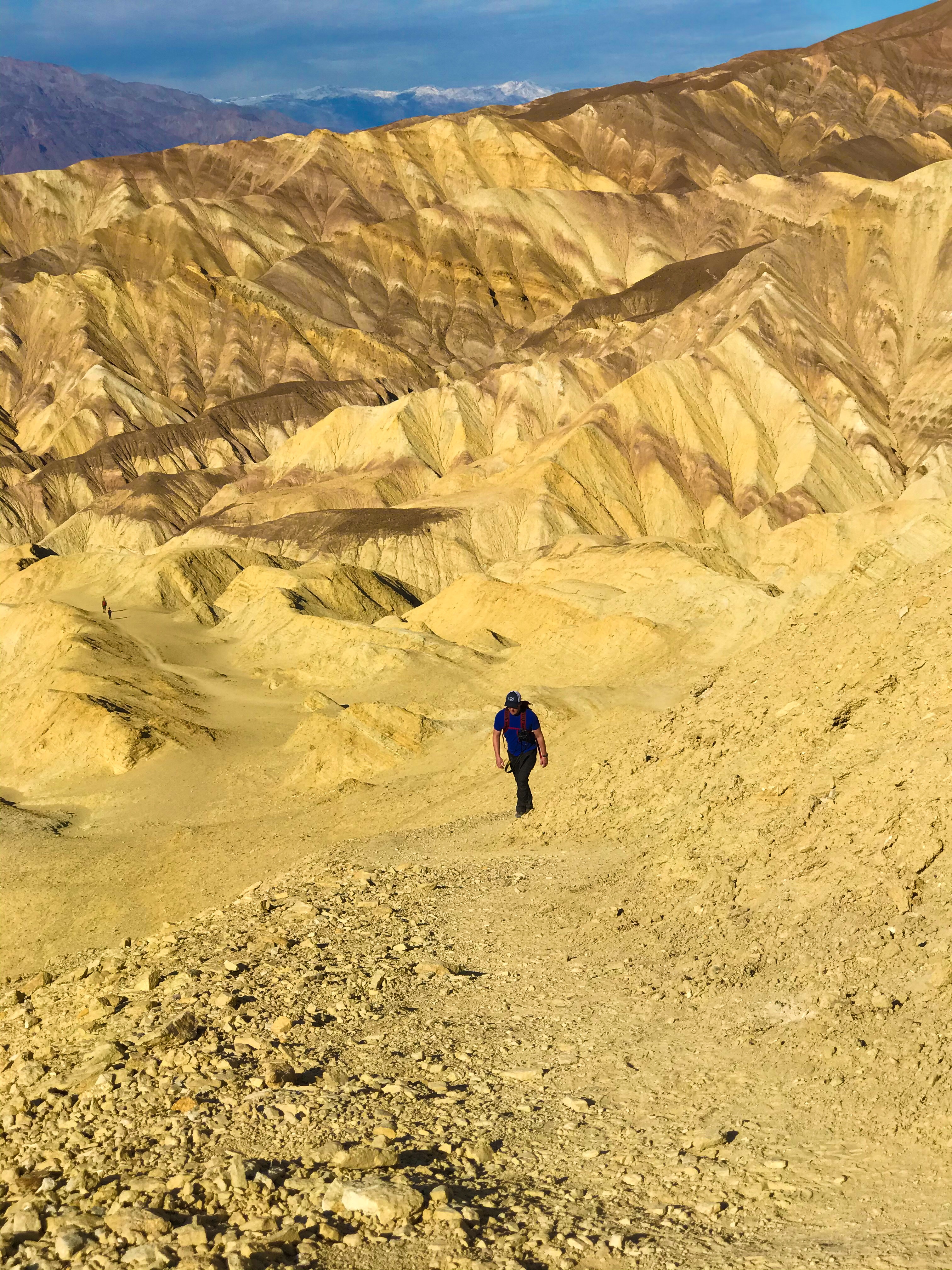
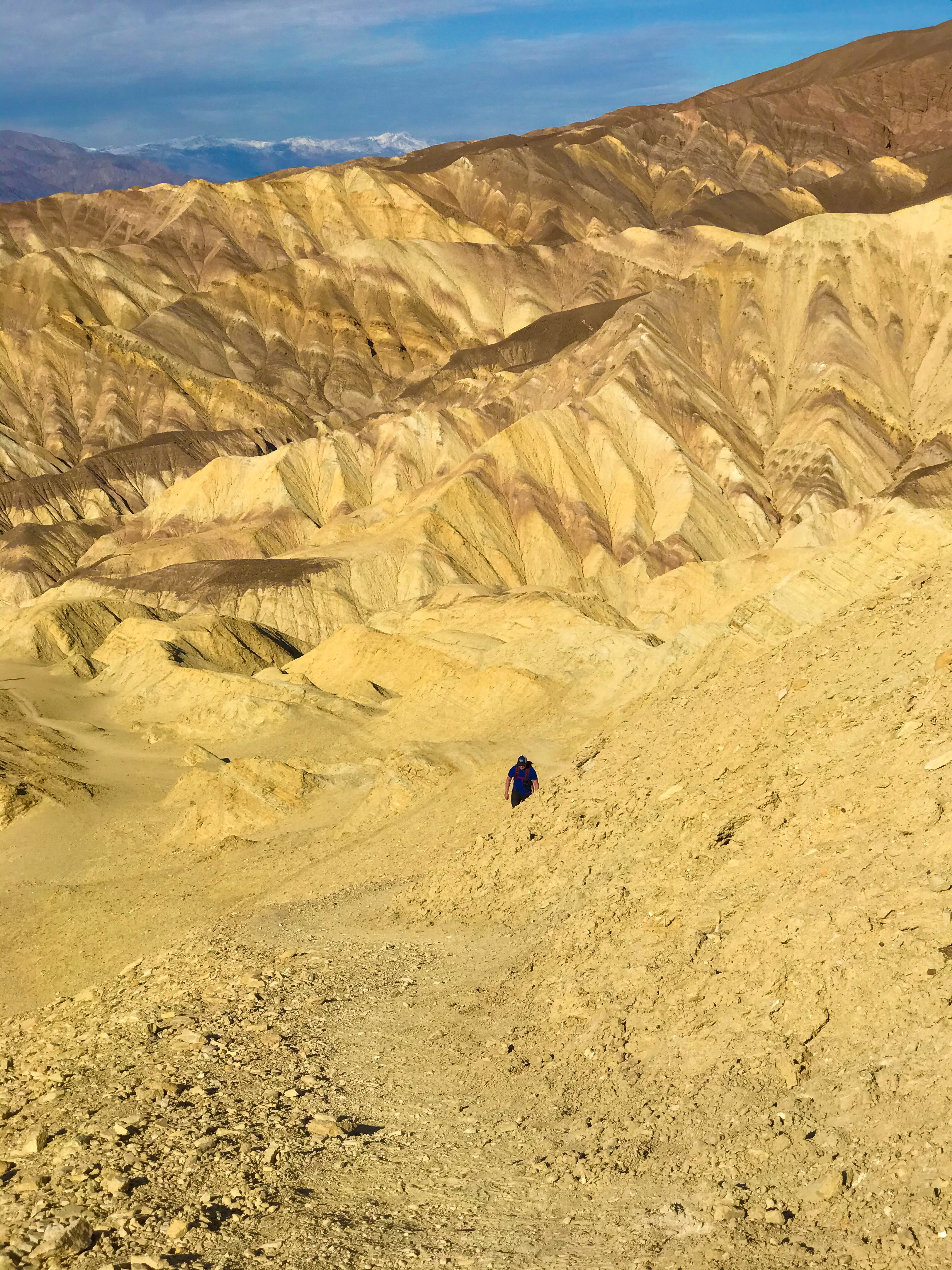
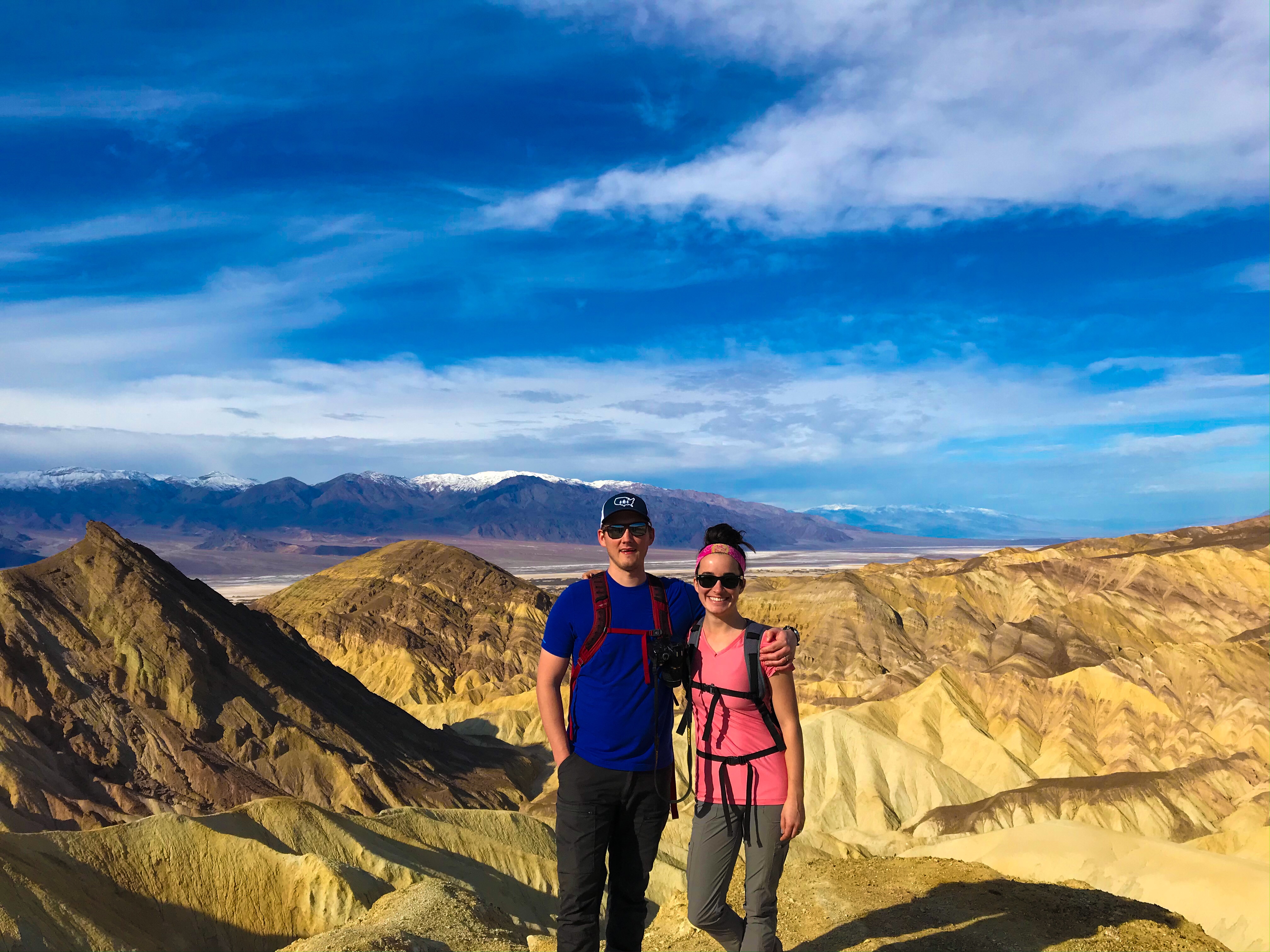
Golden Canyon & Red Cathedral
This was by far our favorite hike (and was clearly the most popular – arrive early at this trail; most people have to park on the road; there’s a single bathroom here). This is the trailhead that connects to Zabriskie Point via a 5.8 mile trail.
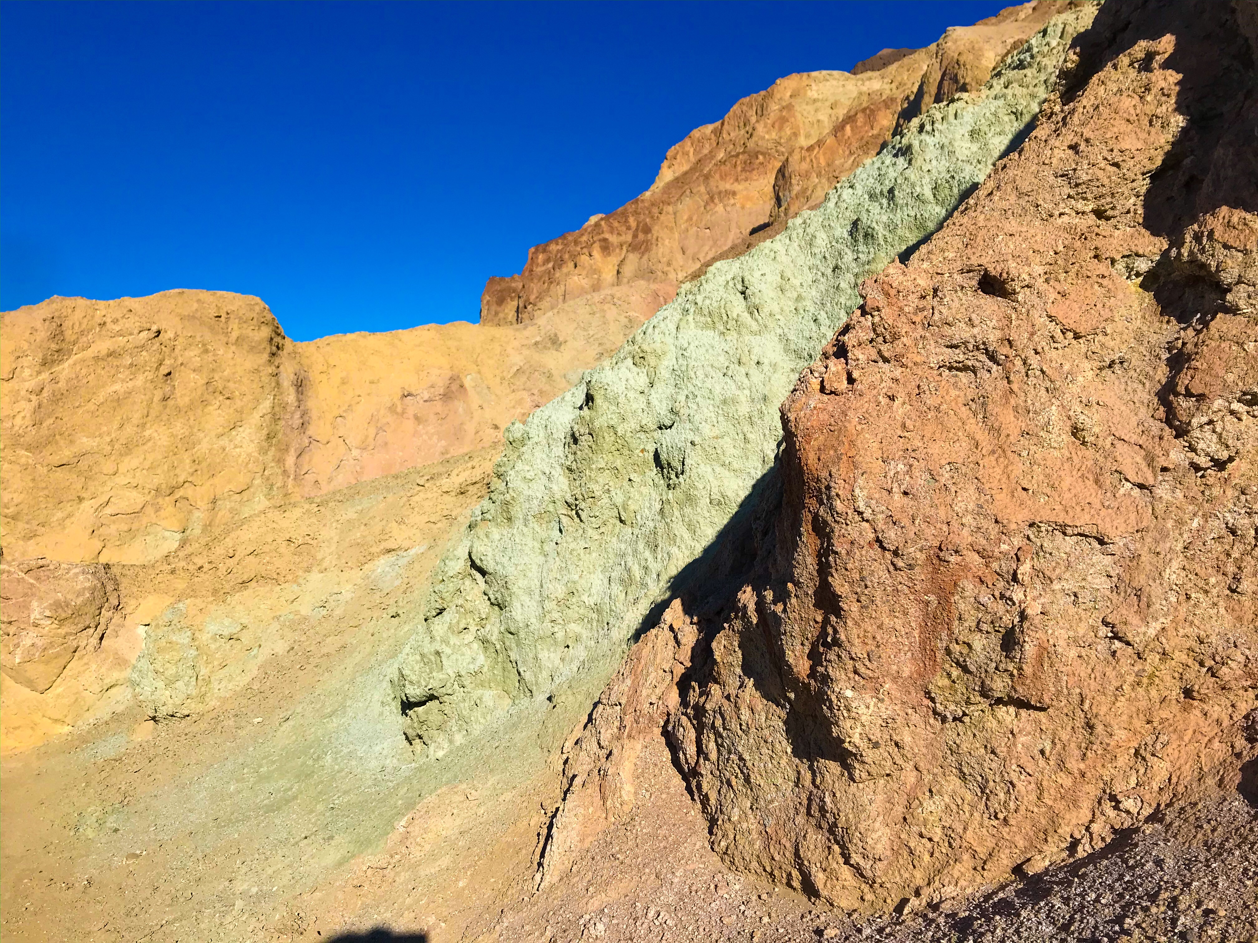
The trail started similarly to Desolation Canyon – somewhat vide canyon with walls streaked with colors. It was a slow incline and a pretty easy beginning of the hike.
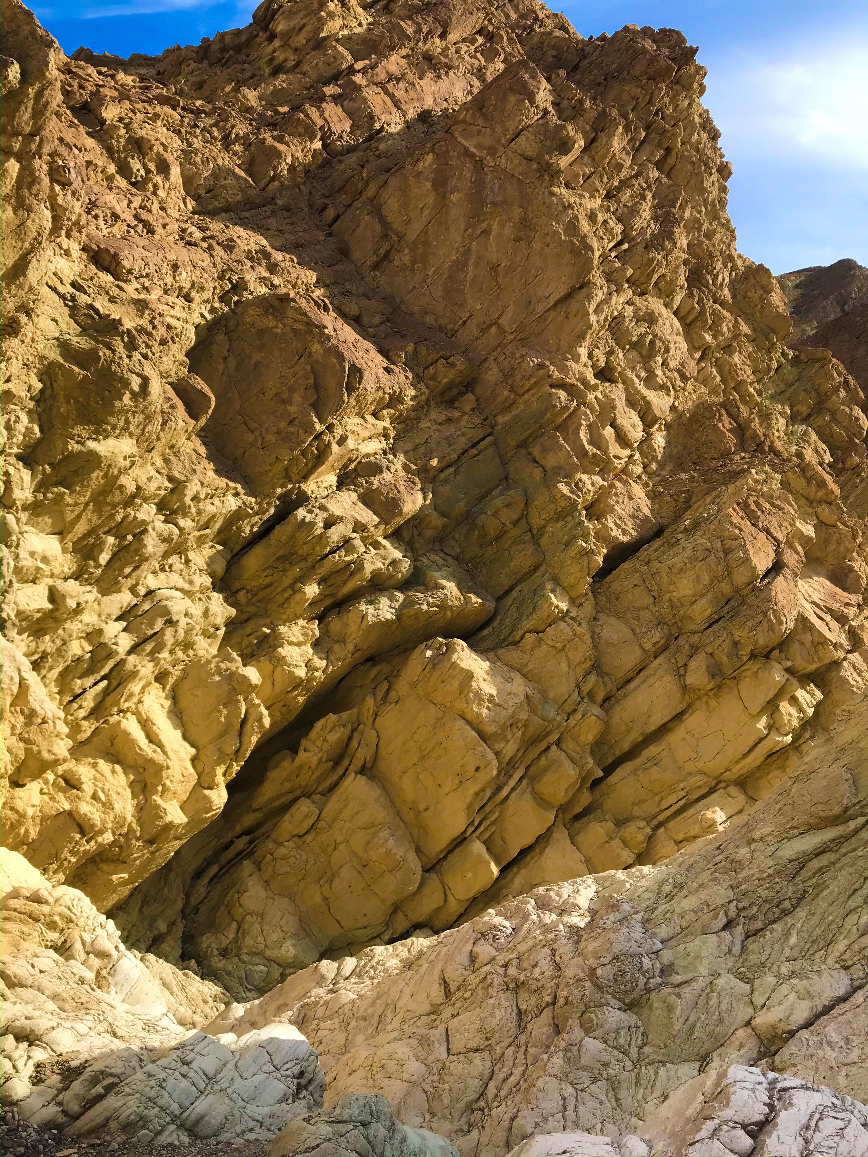
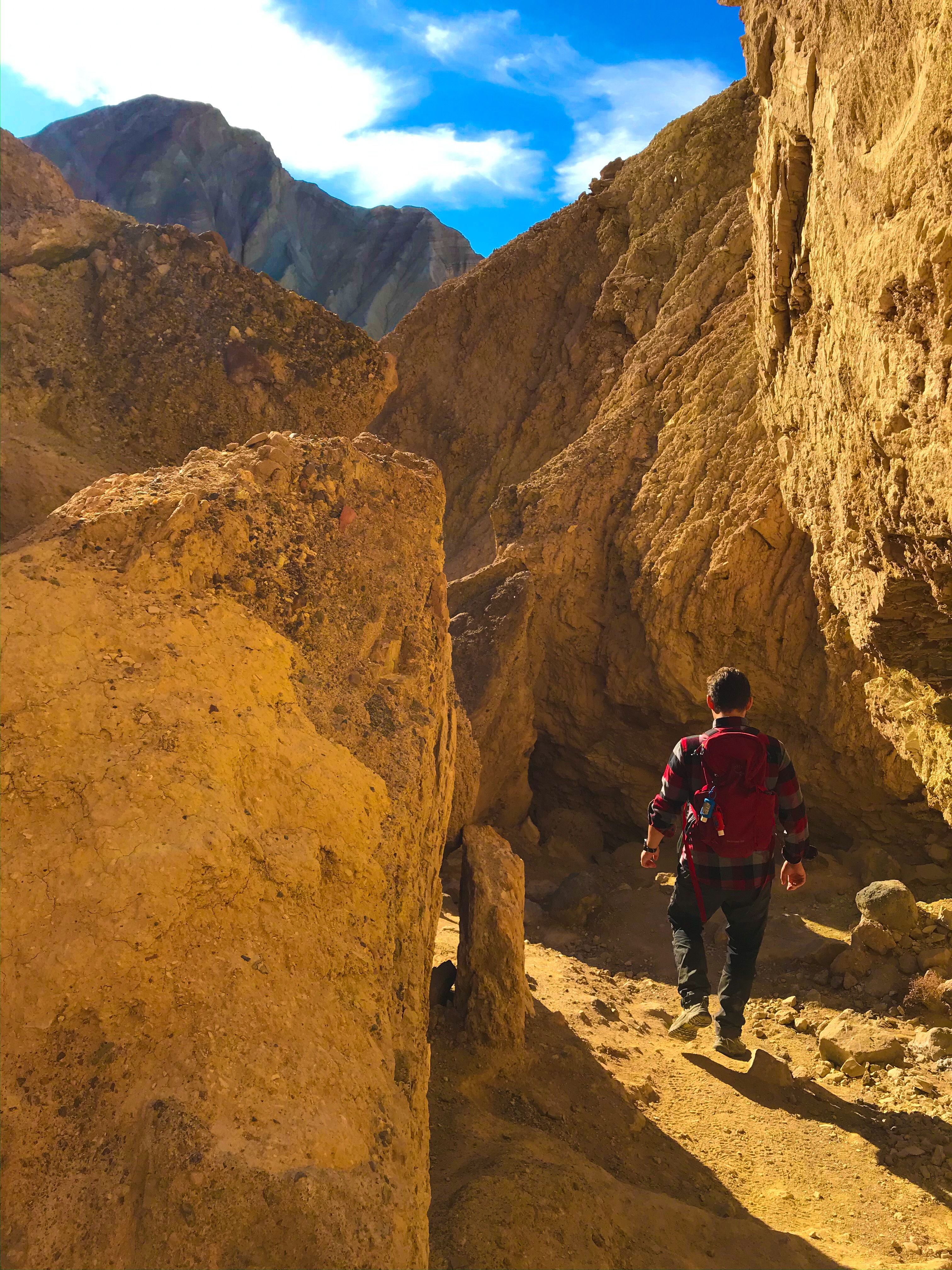
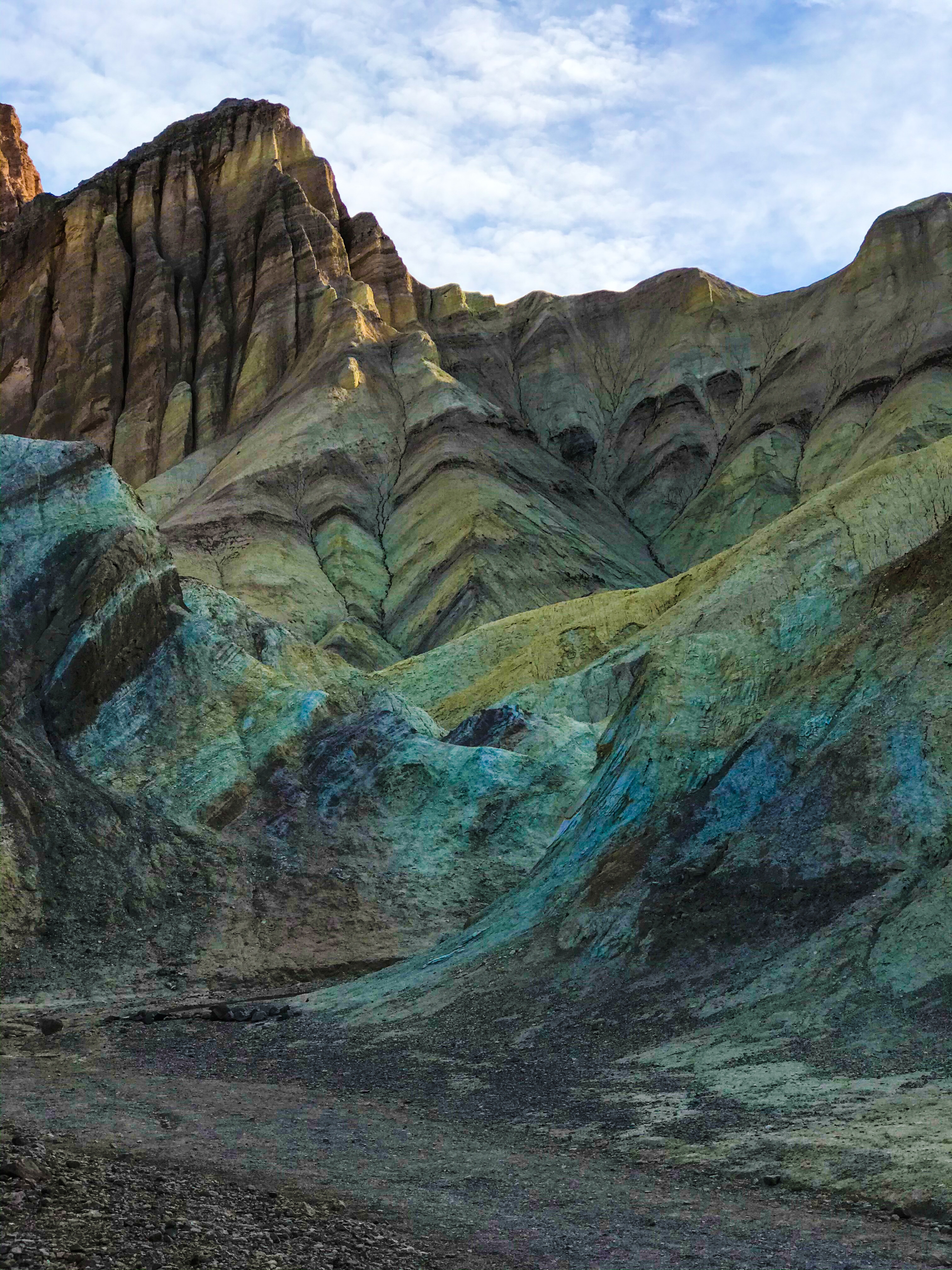

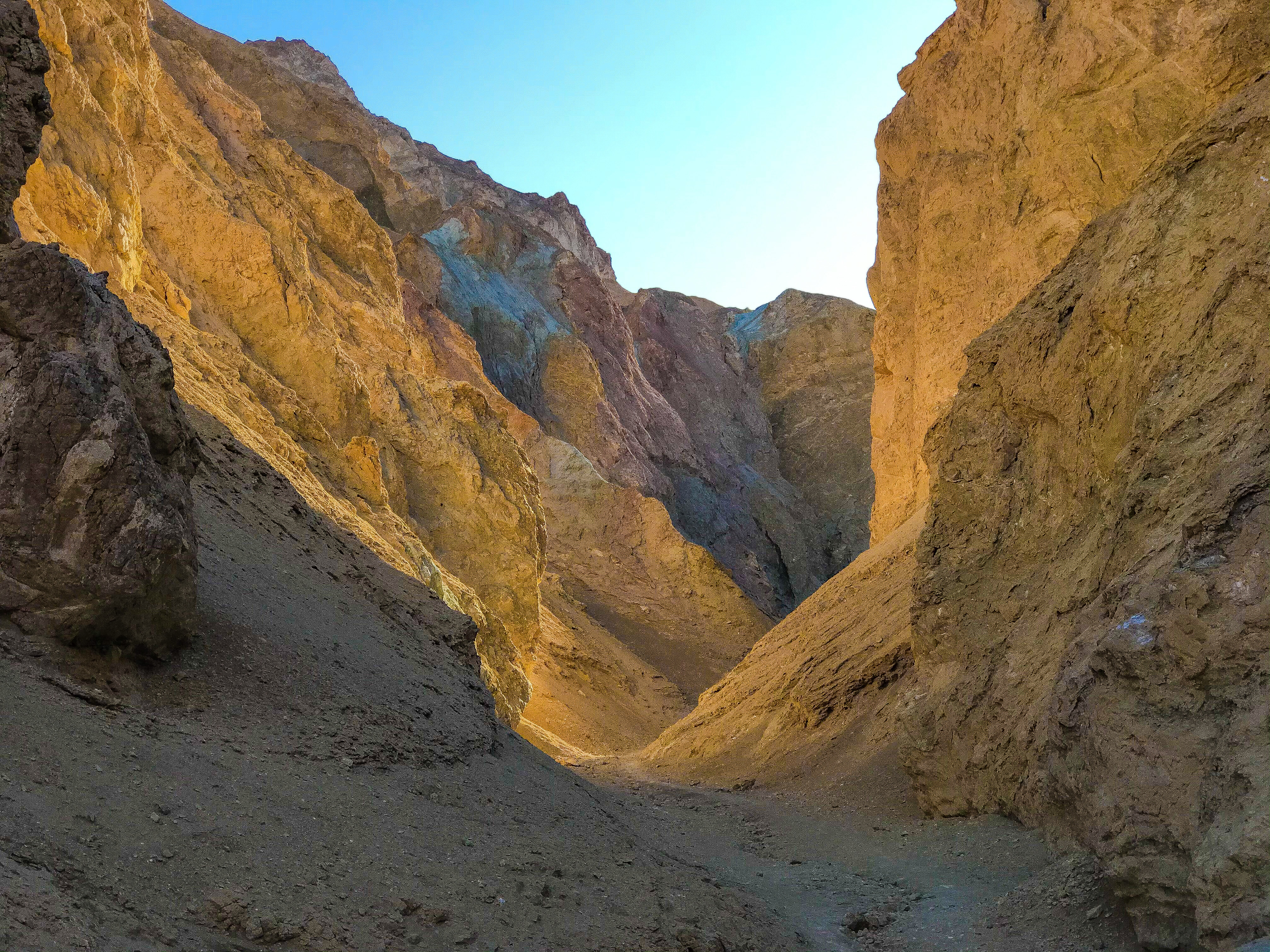
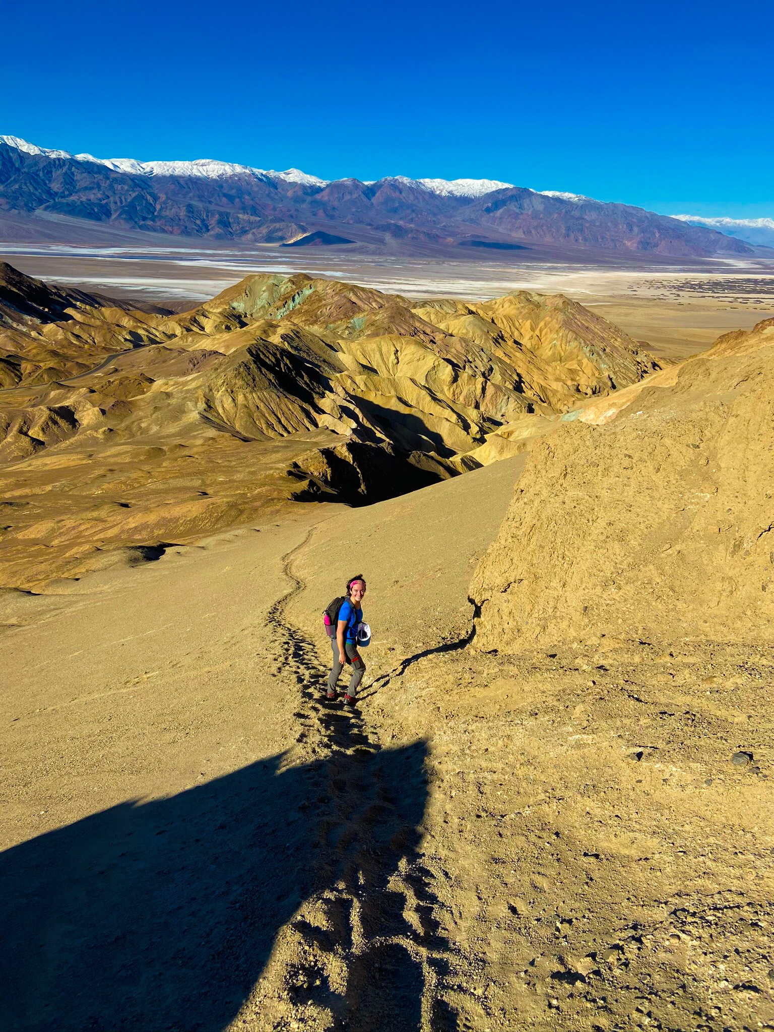
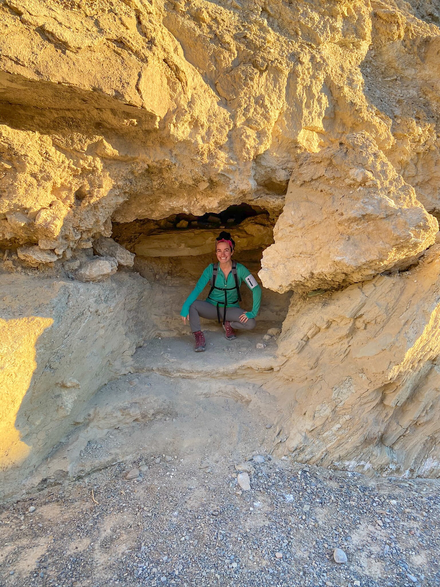
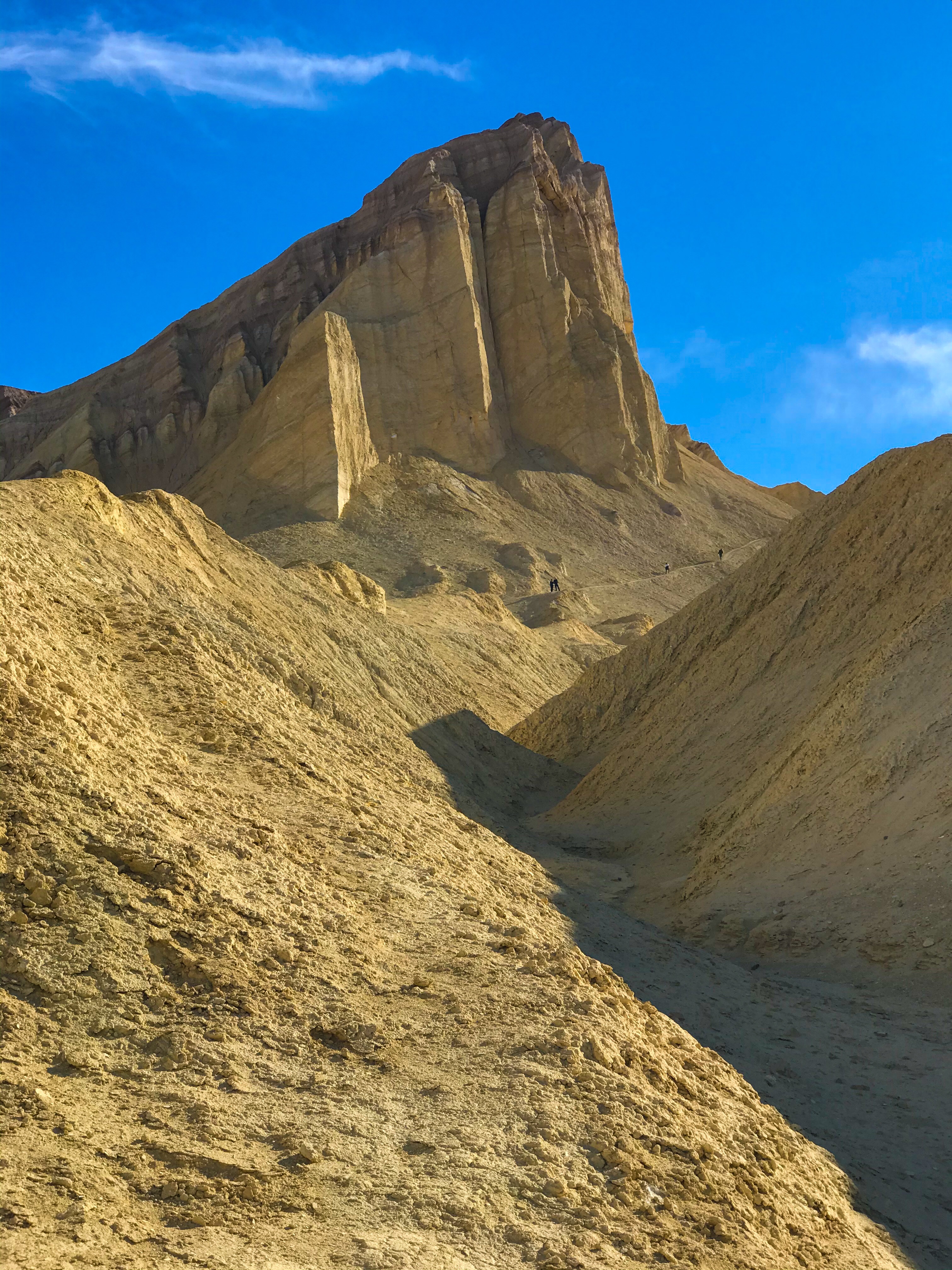
At one point, the trail branches off towards Red Cathedral. We had no cell service, so we didn’t realize that a side trail (or what seemed to be a side trail) wasn’t another way to ascending the Red Cathedral. We started realizing it, however, when we had to precariously climb up a steep slope, the earth cracking under us and rocks slipping and falls to the canyon floor as we climbed. It was a little nerve wracking.
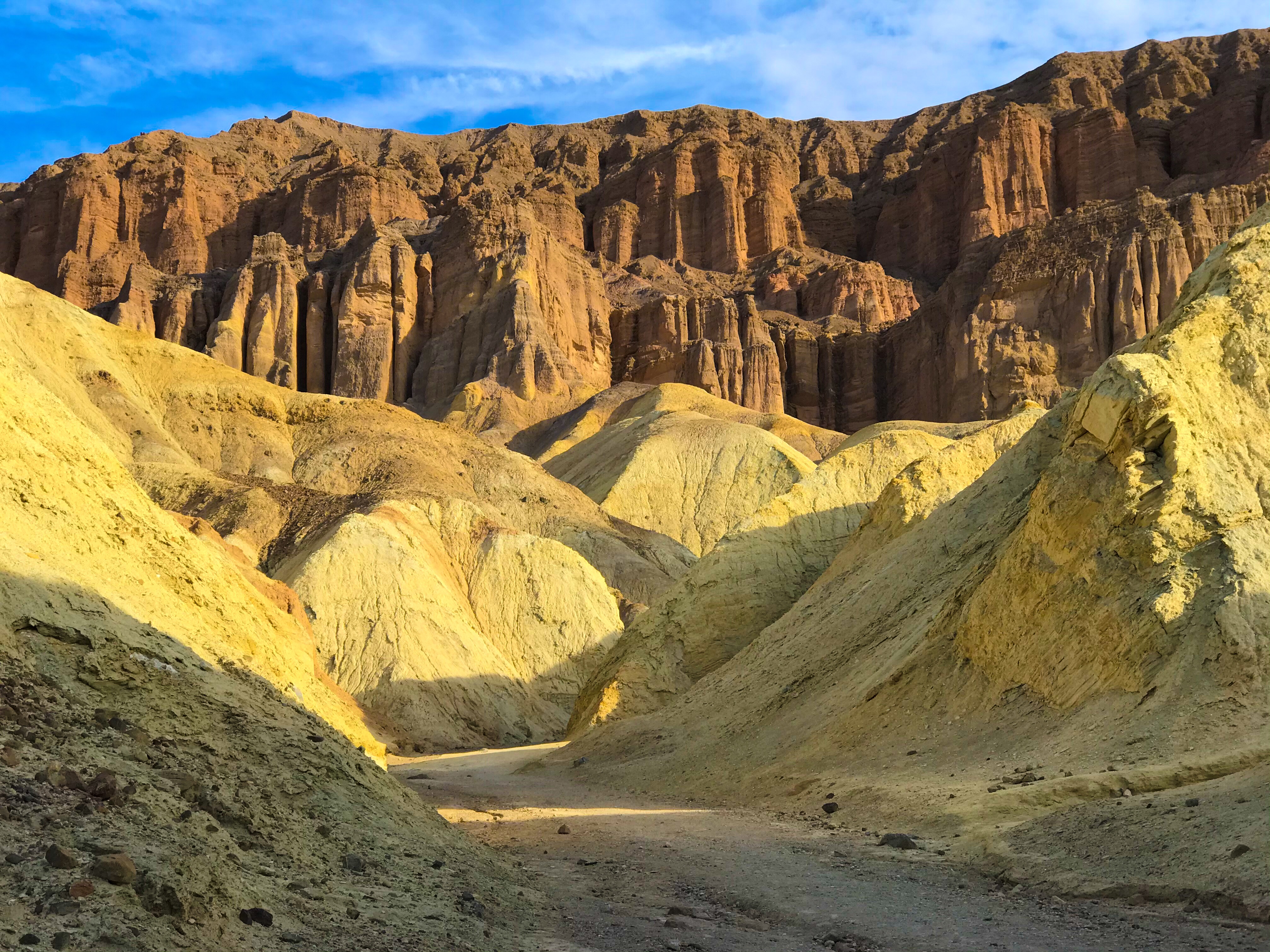
But the views from the top were amazing – badlands just below, the Red Cathedral looming over us, and views of the valley and Telescope Peak lay just beyond the badlands.
Climbing down (the right way) was easy with some tight squeezes through rocks.
Getting back onto the Golden Canyon trail, we walked up a sandy slope bringing us even higher than we were at Red Cathedral.
And depositing us at Manly Beacon, an overlook.
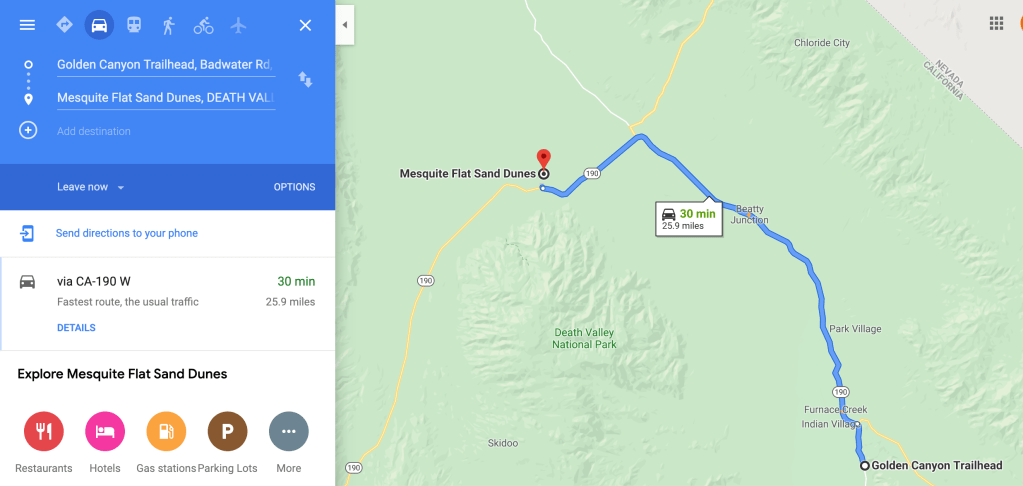
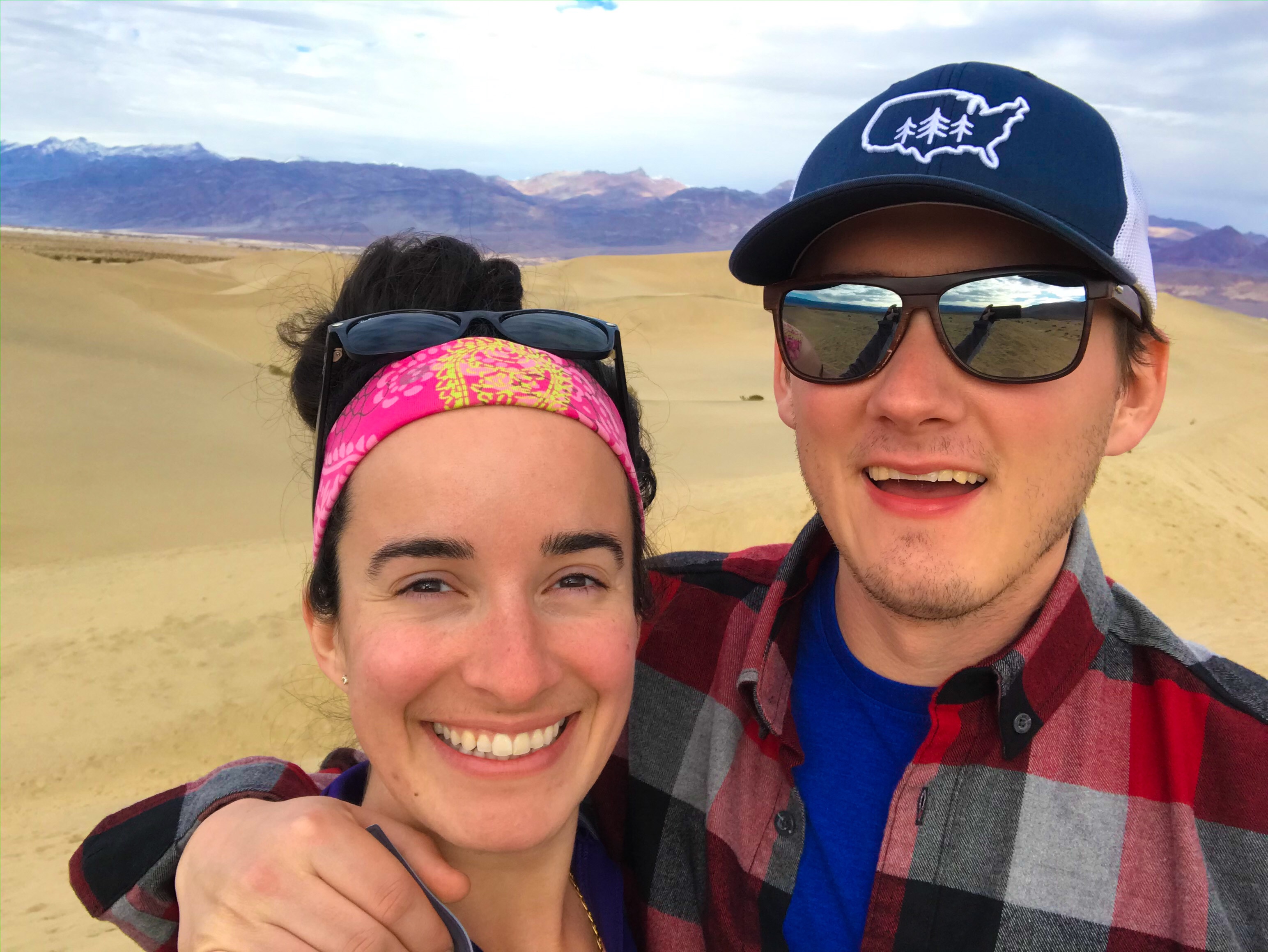
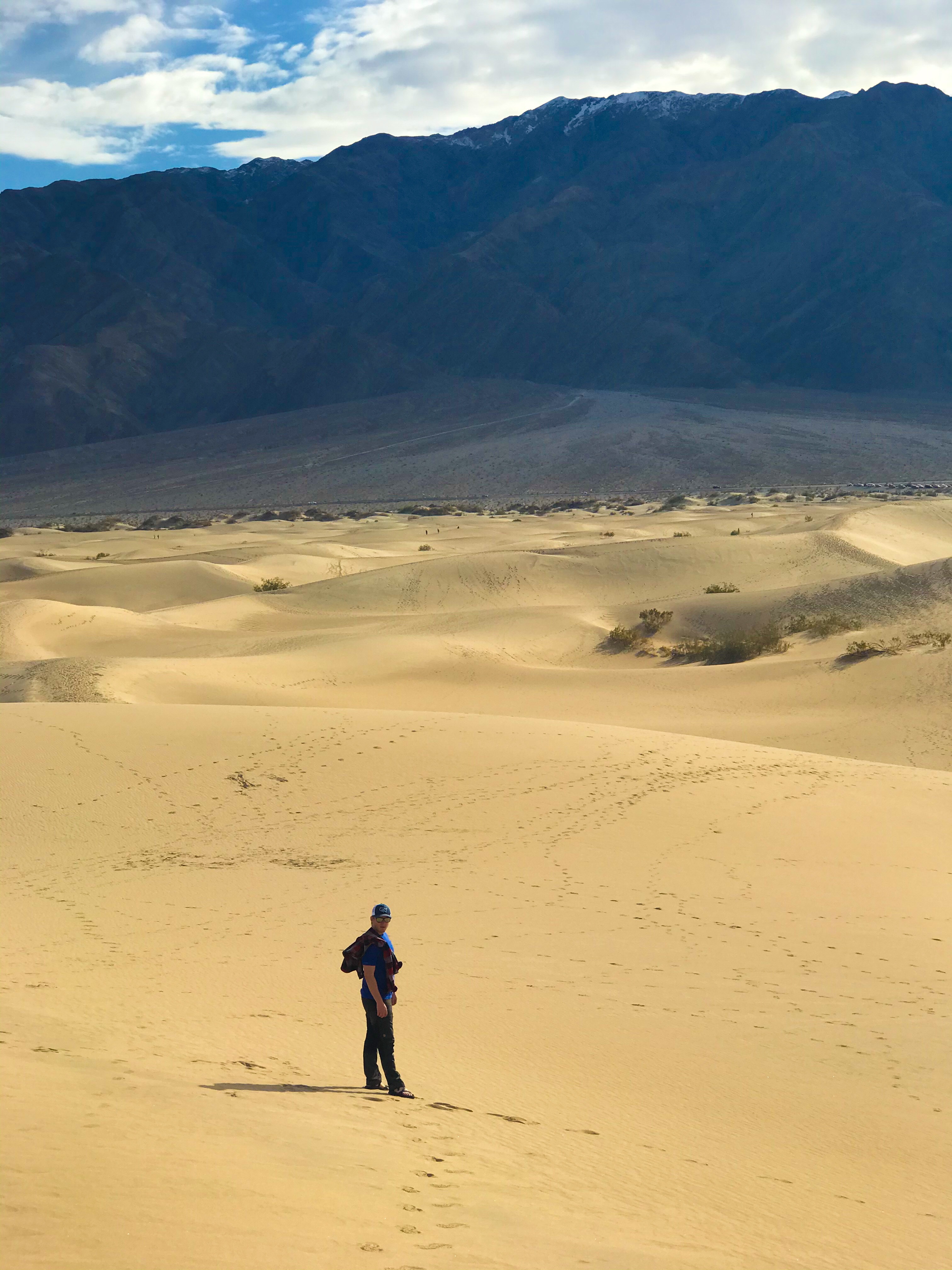
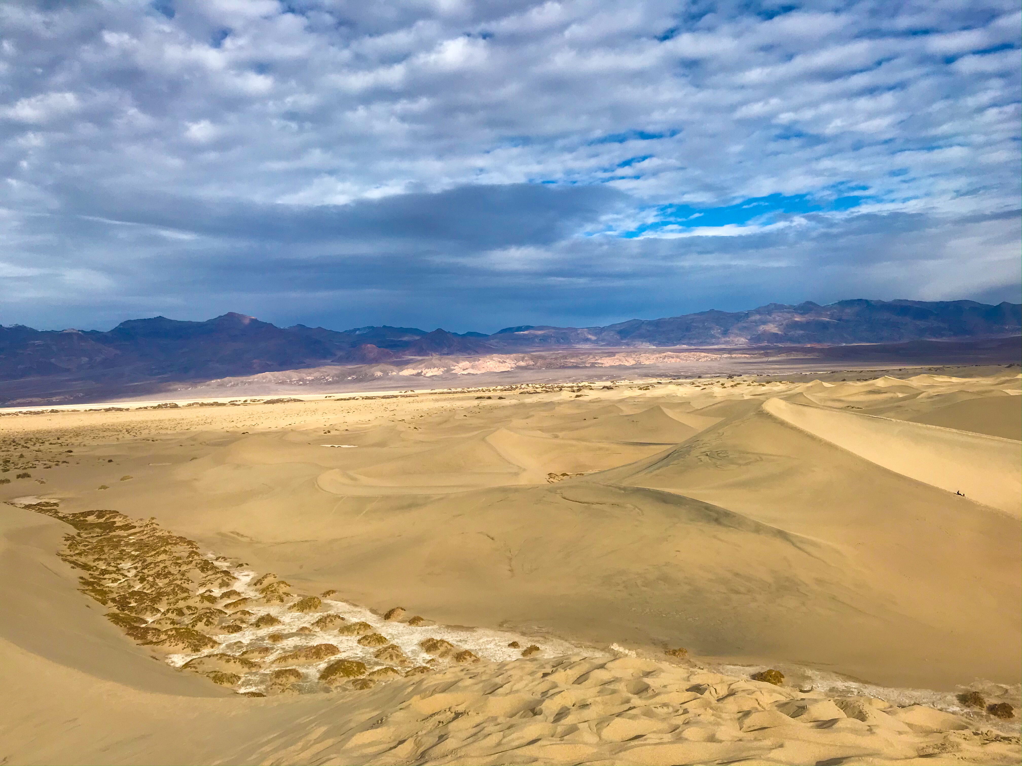
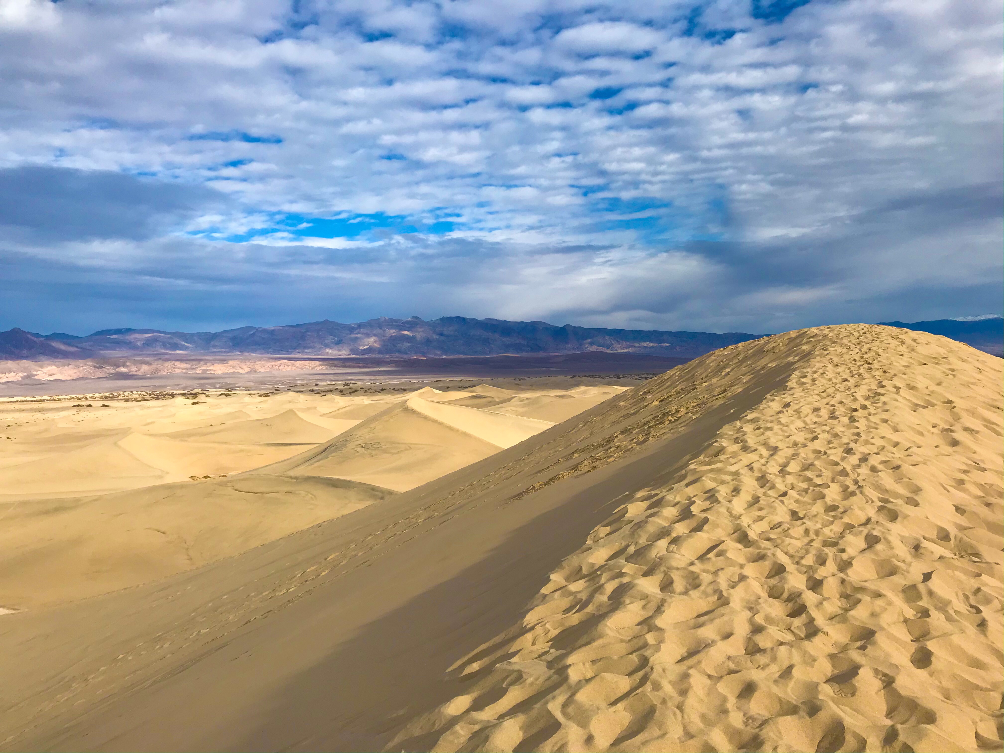
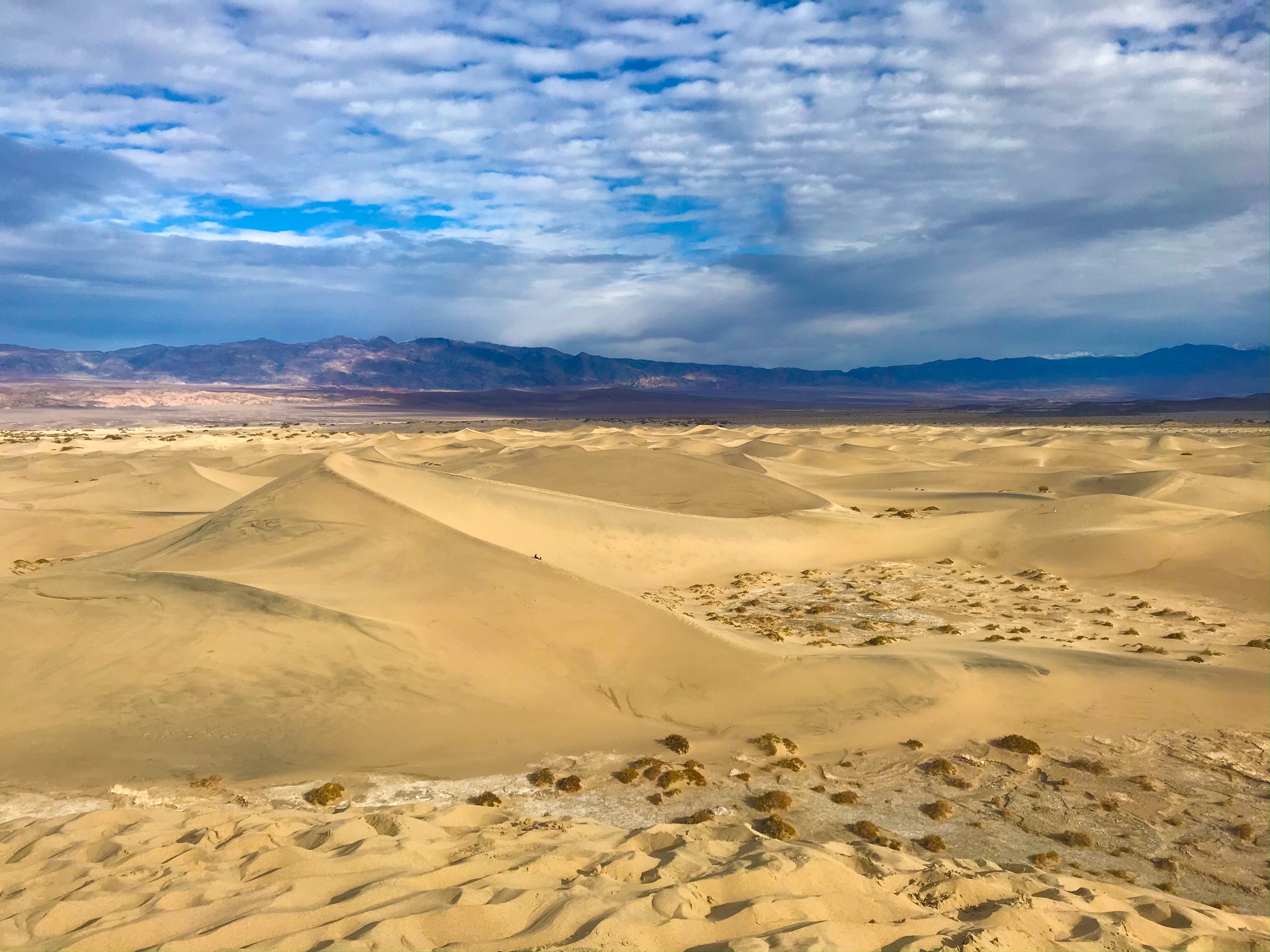
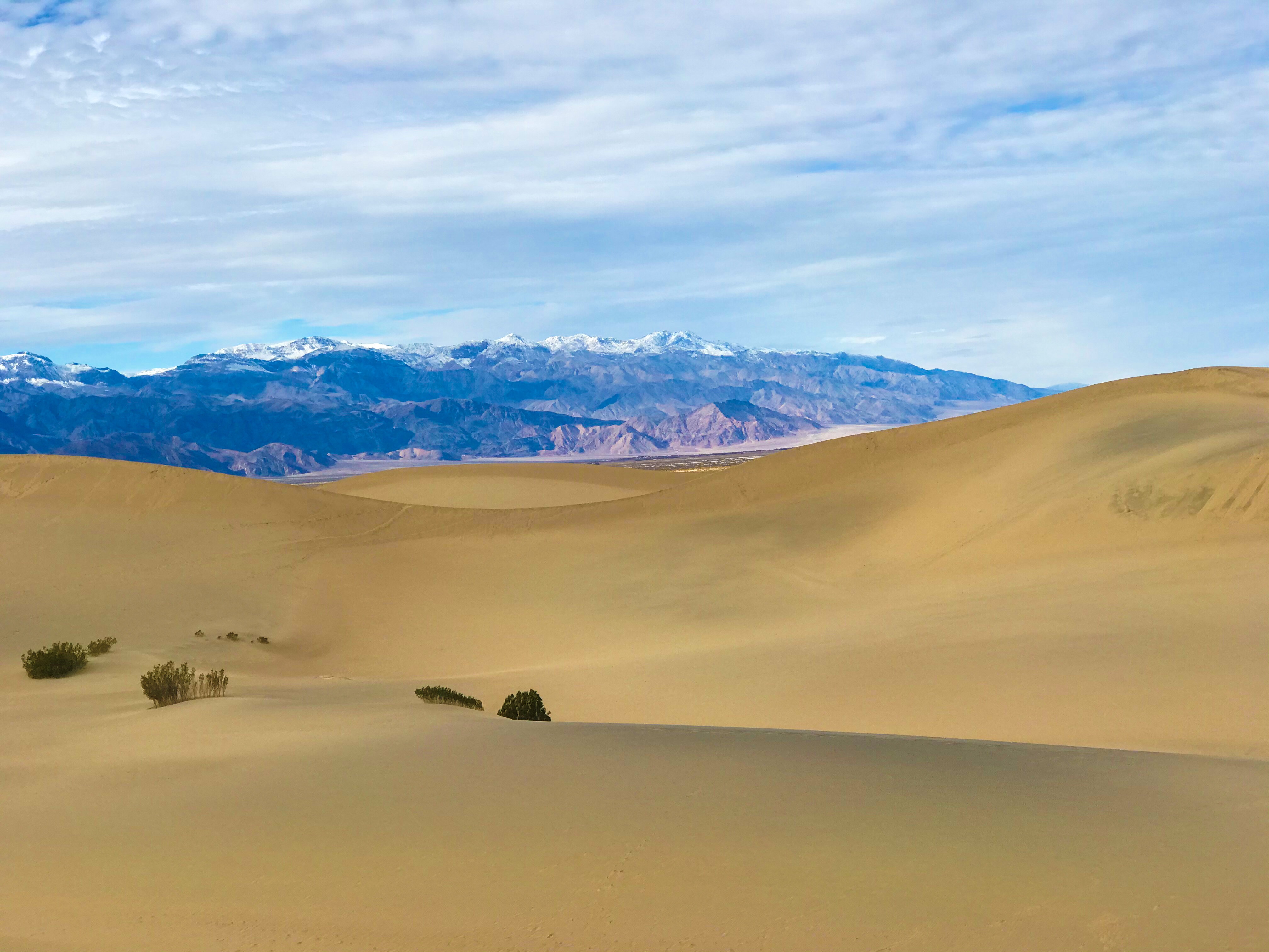
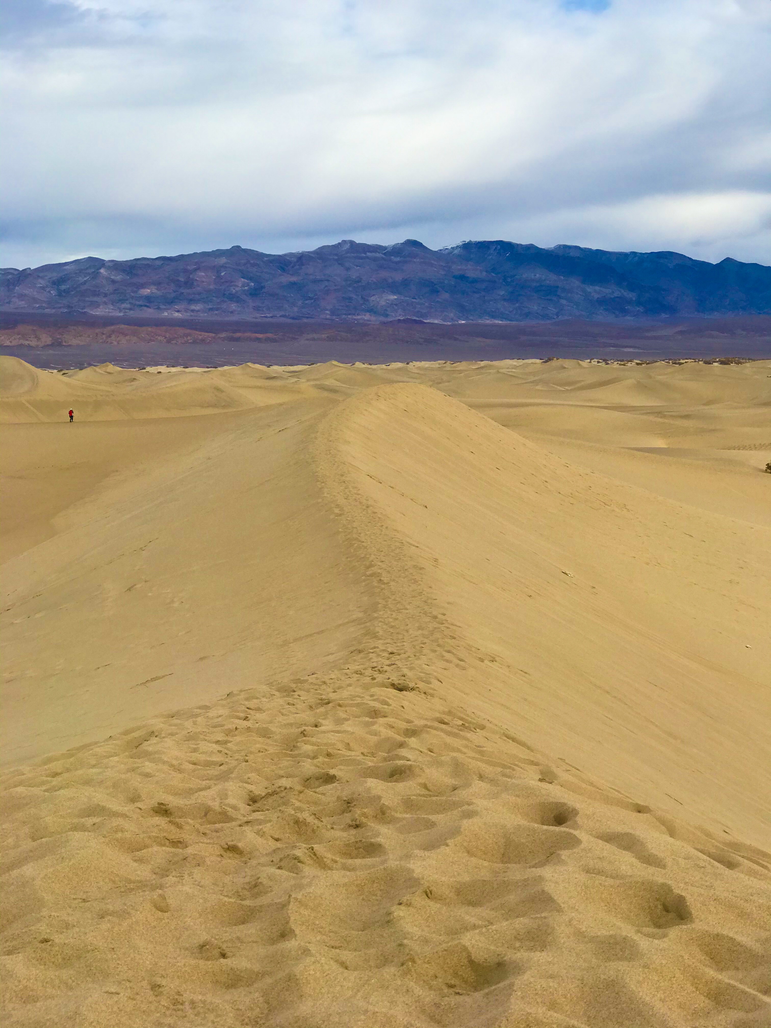
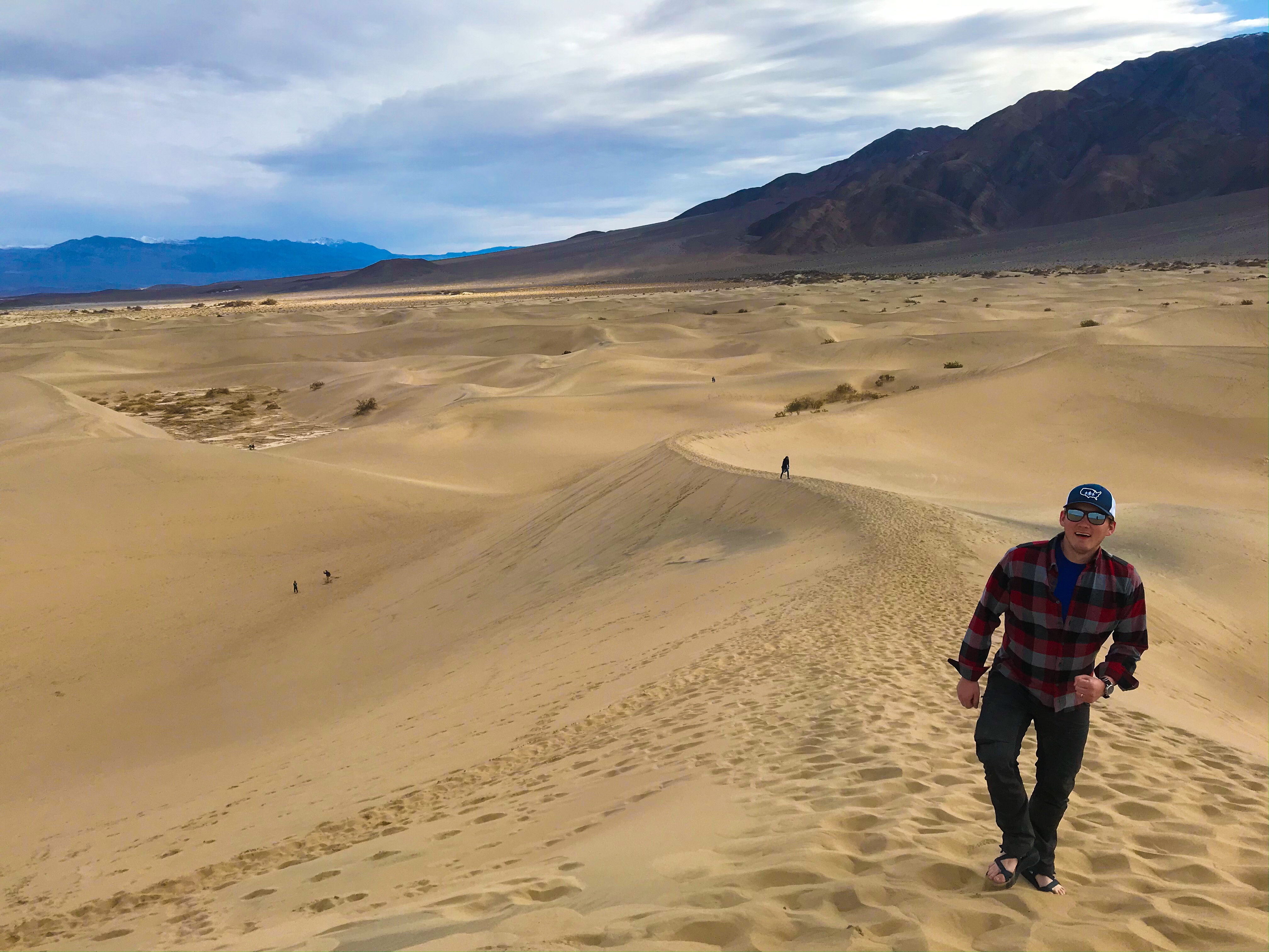
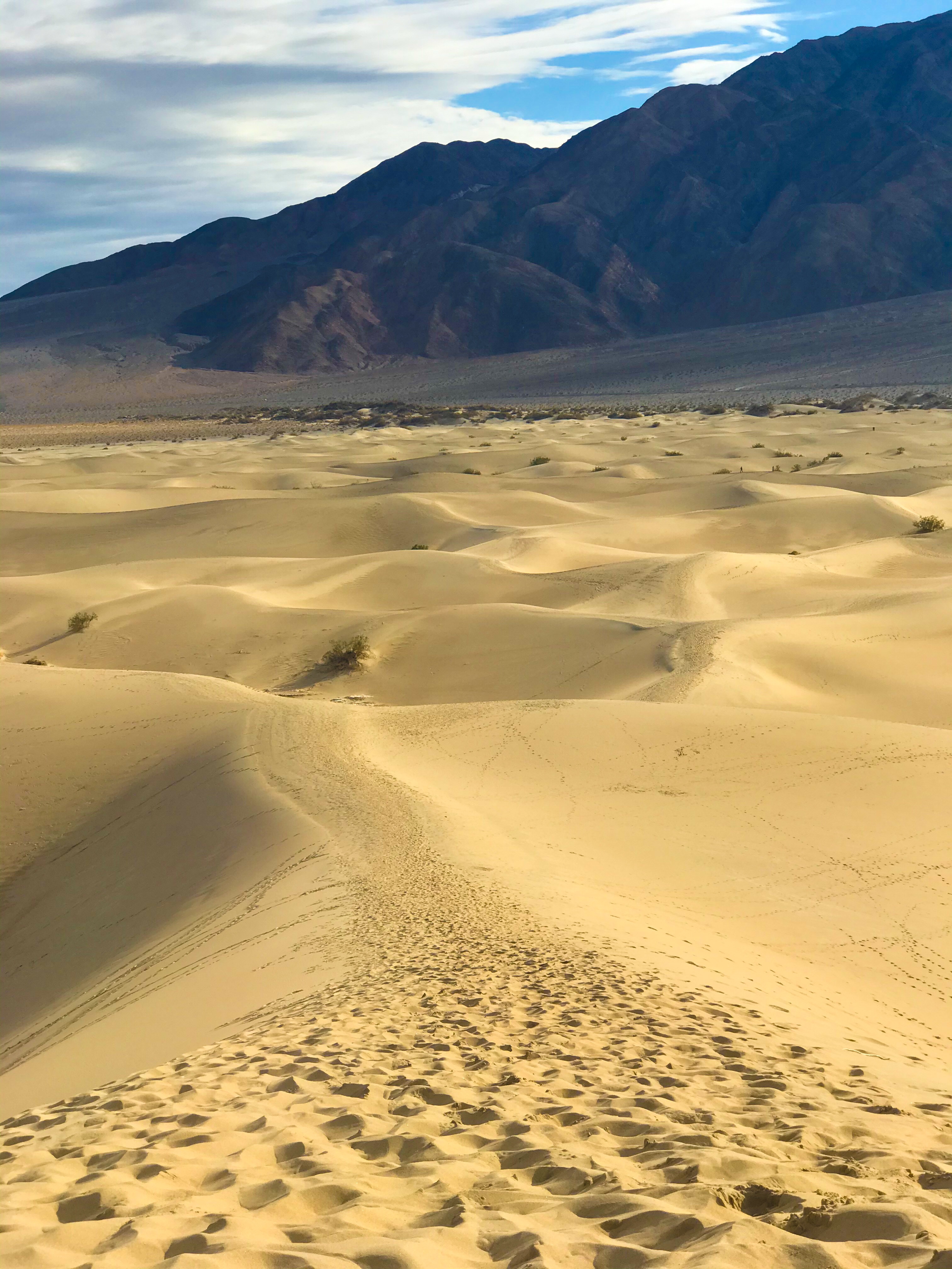
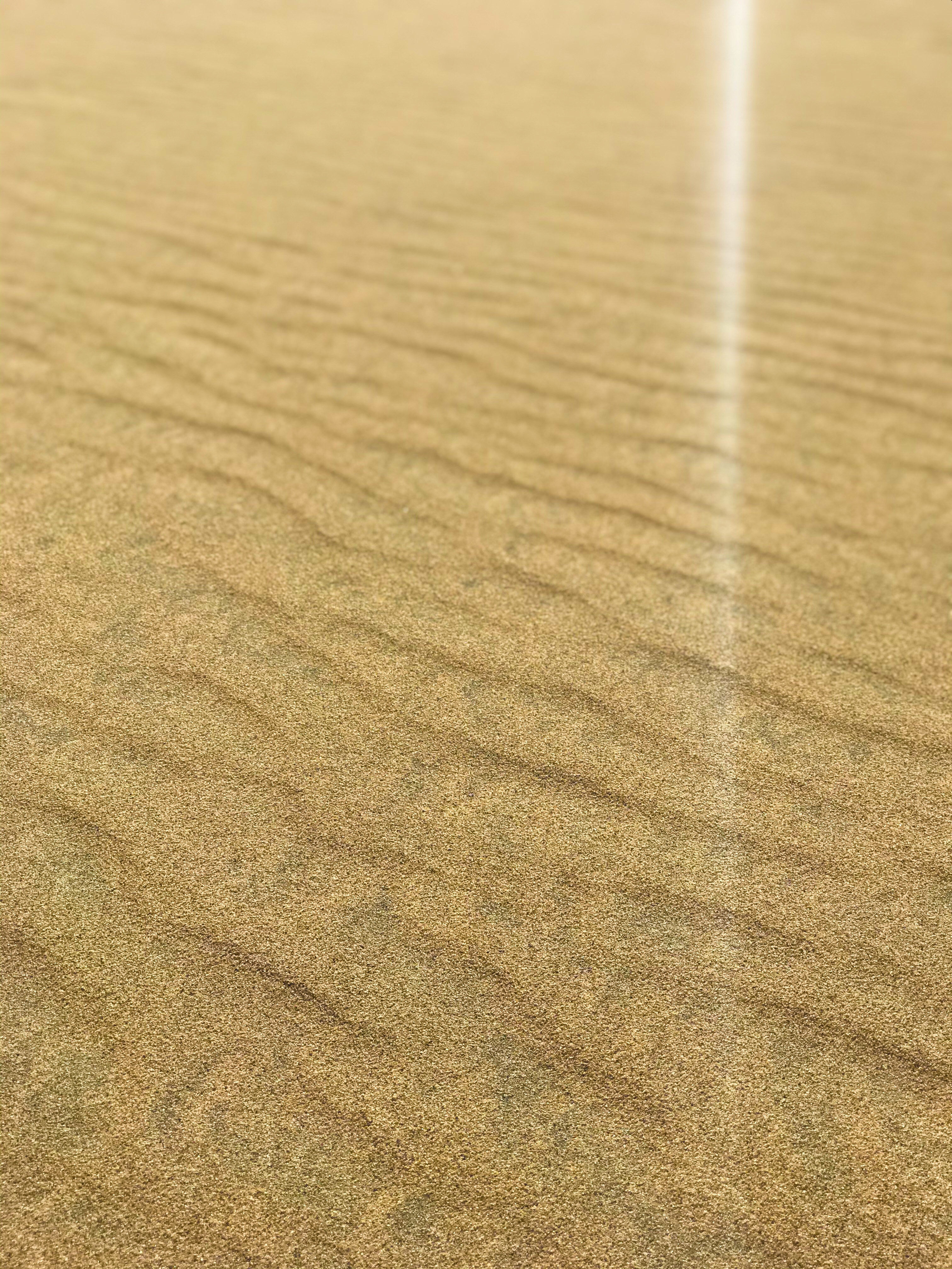
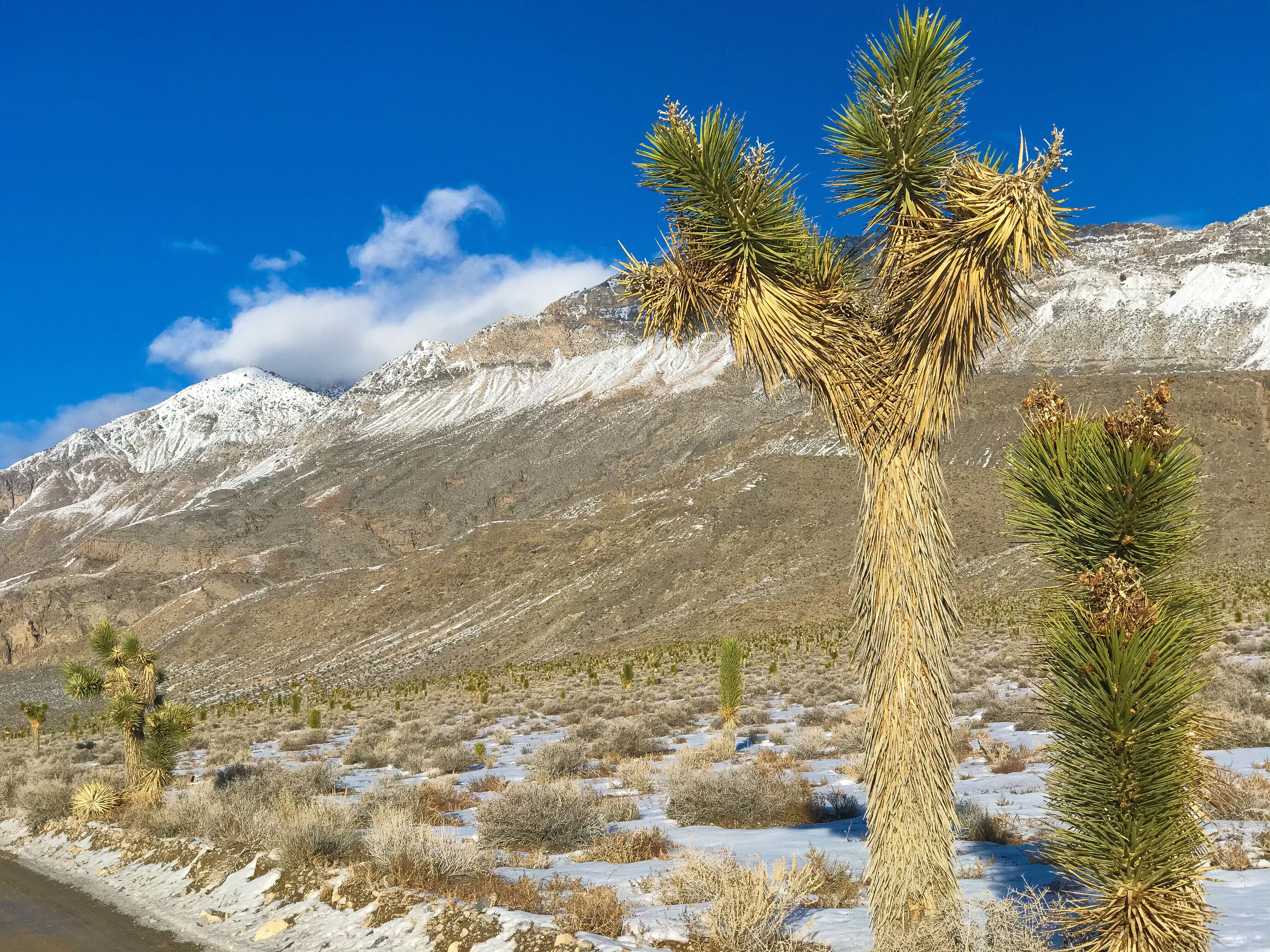
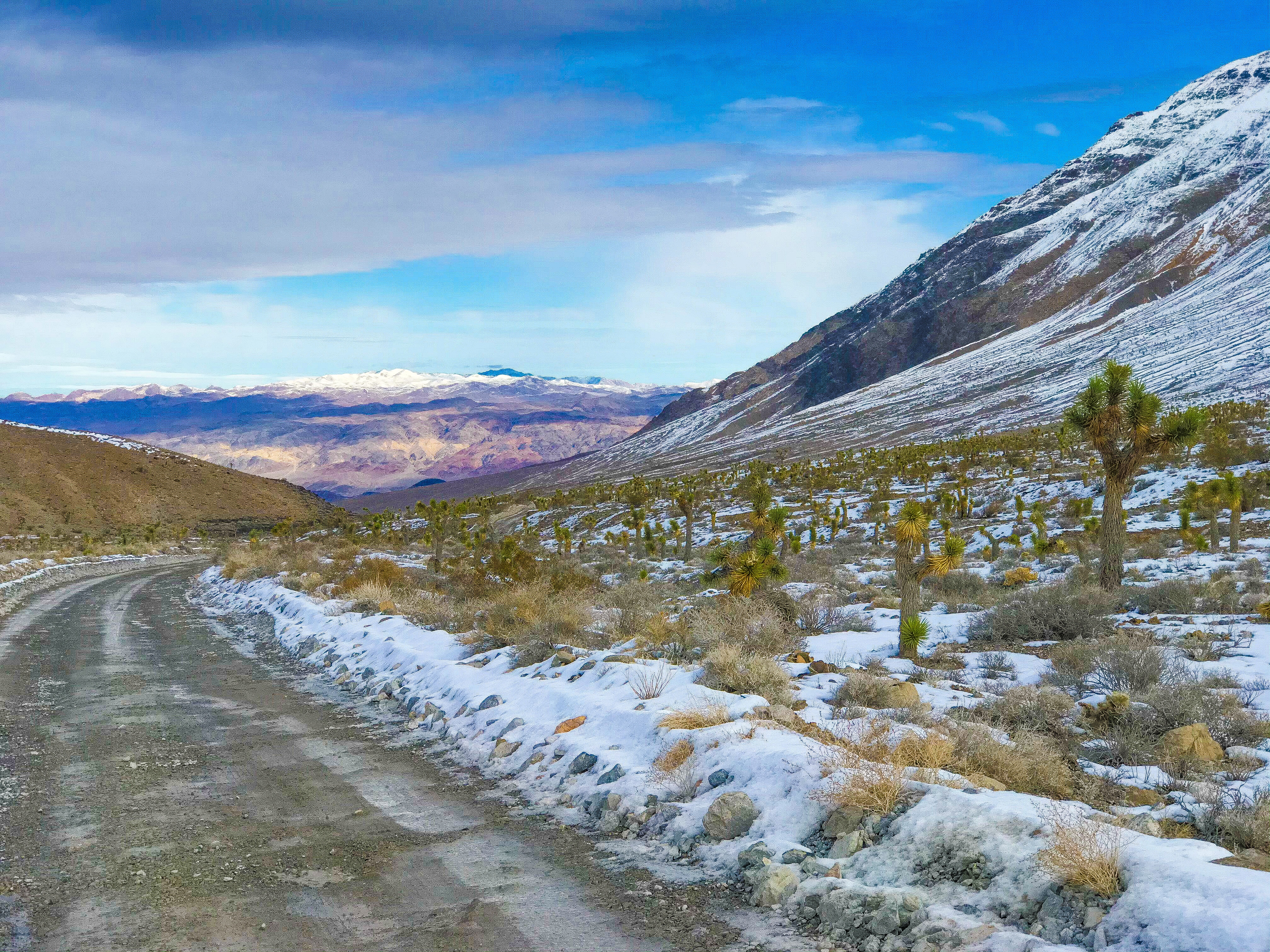
Mesquite Flat Sand Dunes
We bought round, plastic sleds to go sand boarding (some other National Parks provide vendors that rent sleds and wax), but it didn’t work well. To be honest, we really didn’t try that hard – I think we were both surprisingly tired after Golden Canyon.
Instead, we decided to scramble up the sand dunes.
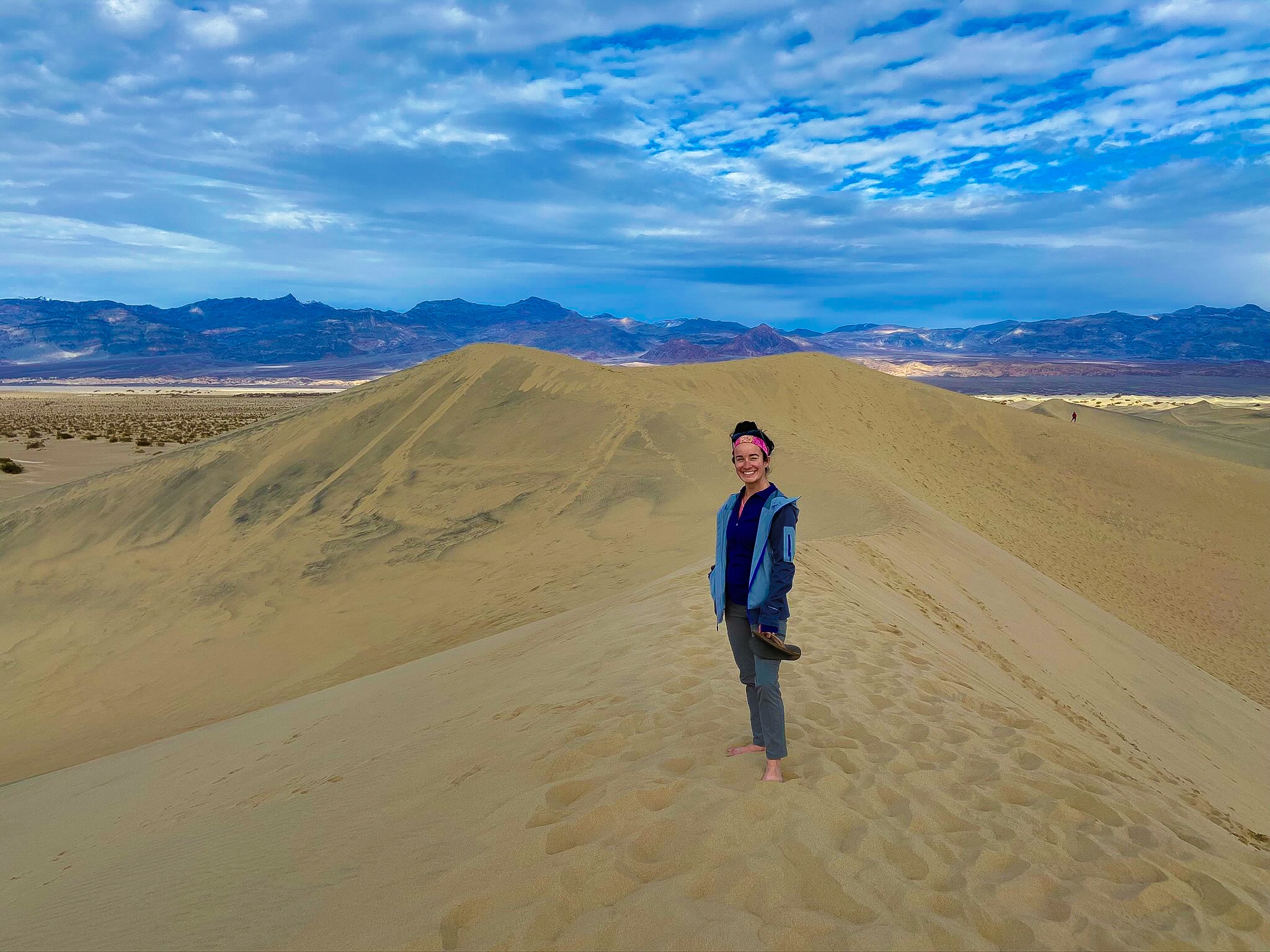
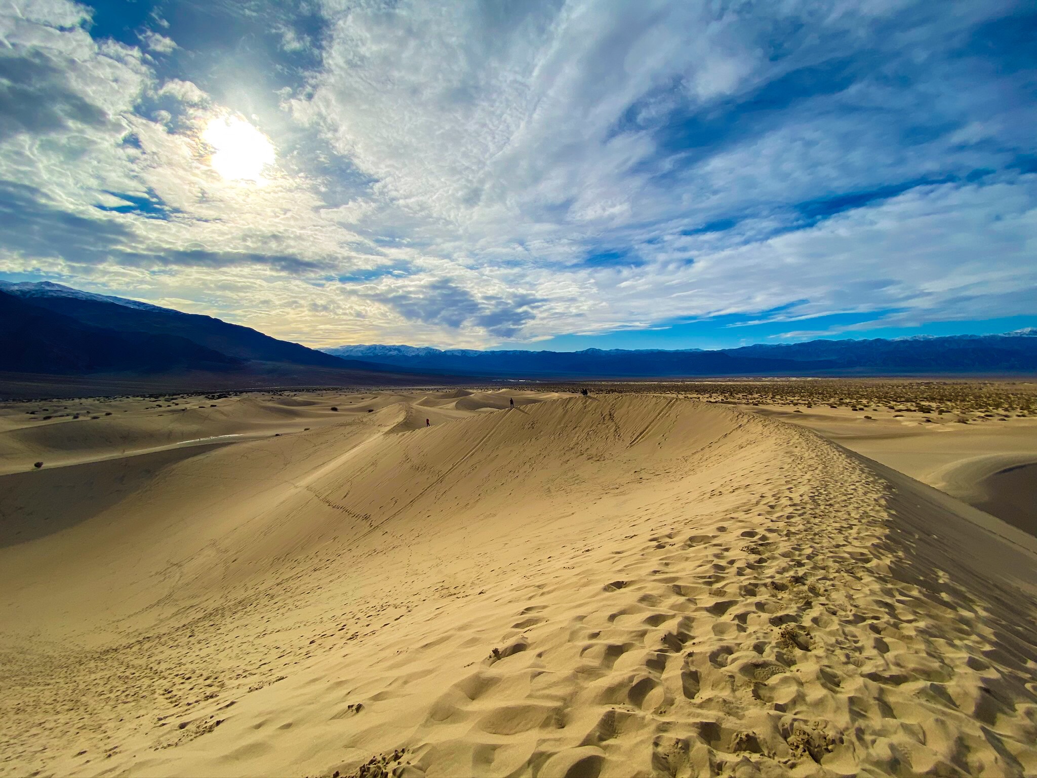
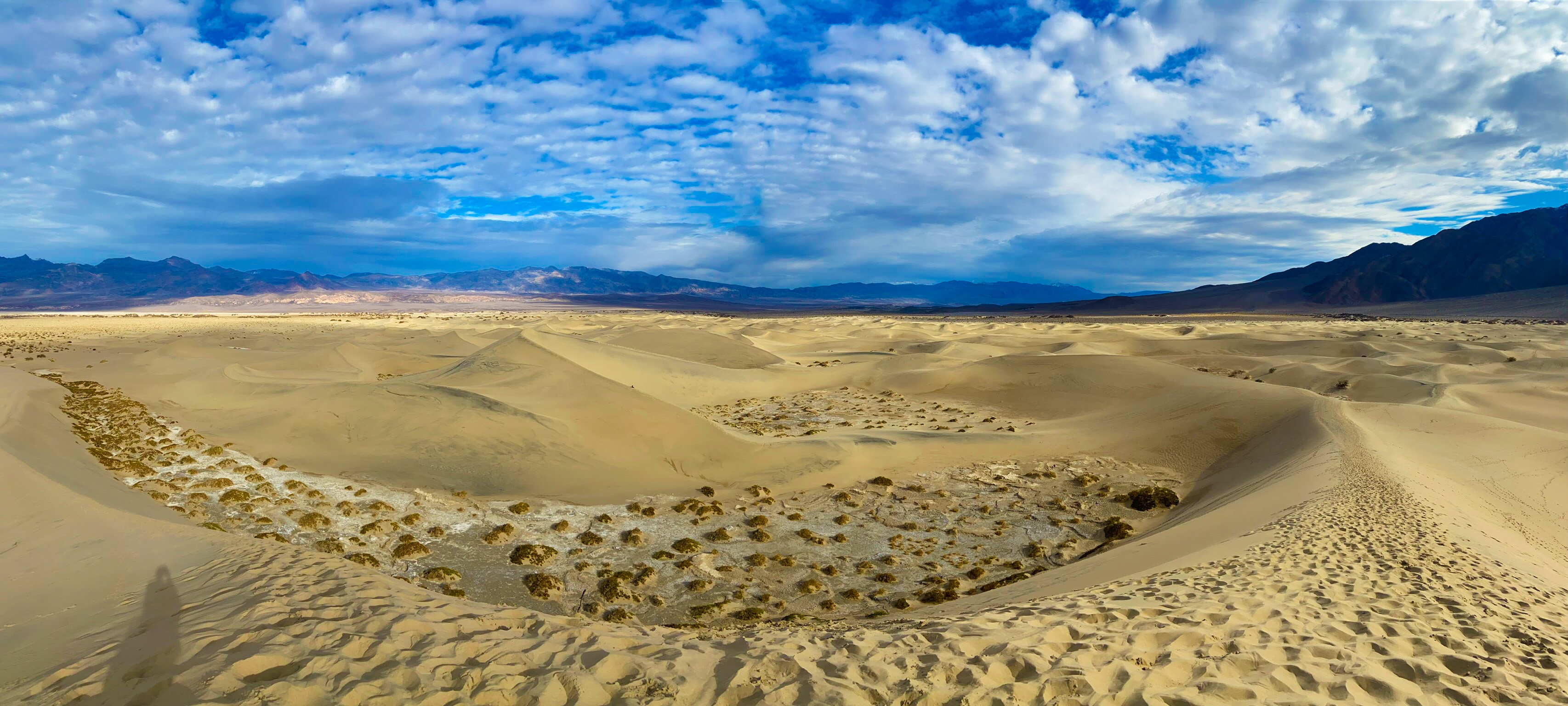
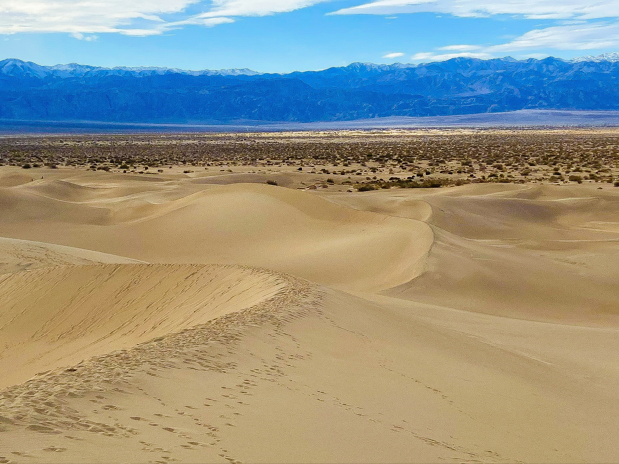
The only thing that didn’t live up to how we pictured the sand dunes to be was that there were a lot of plants growing in the sand dunes, so the beautiful pictures you see of sand dunes were littered with dead looking plants.
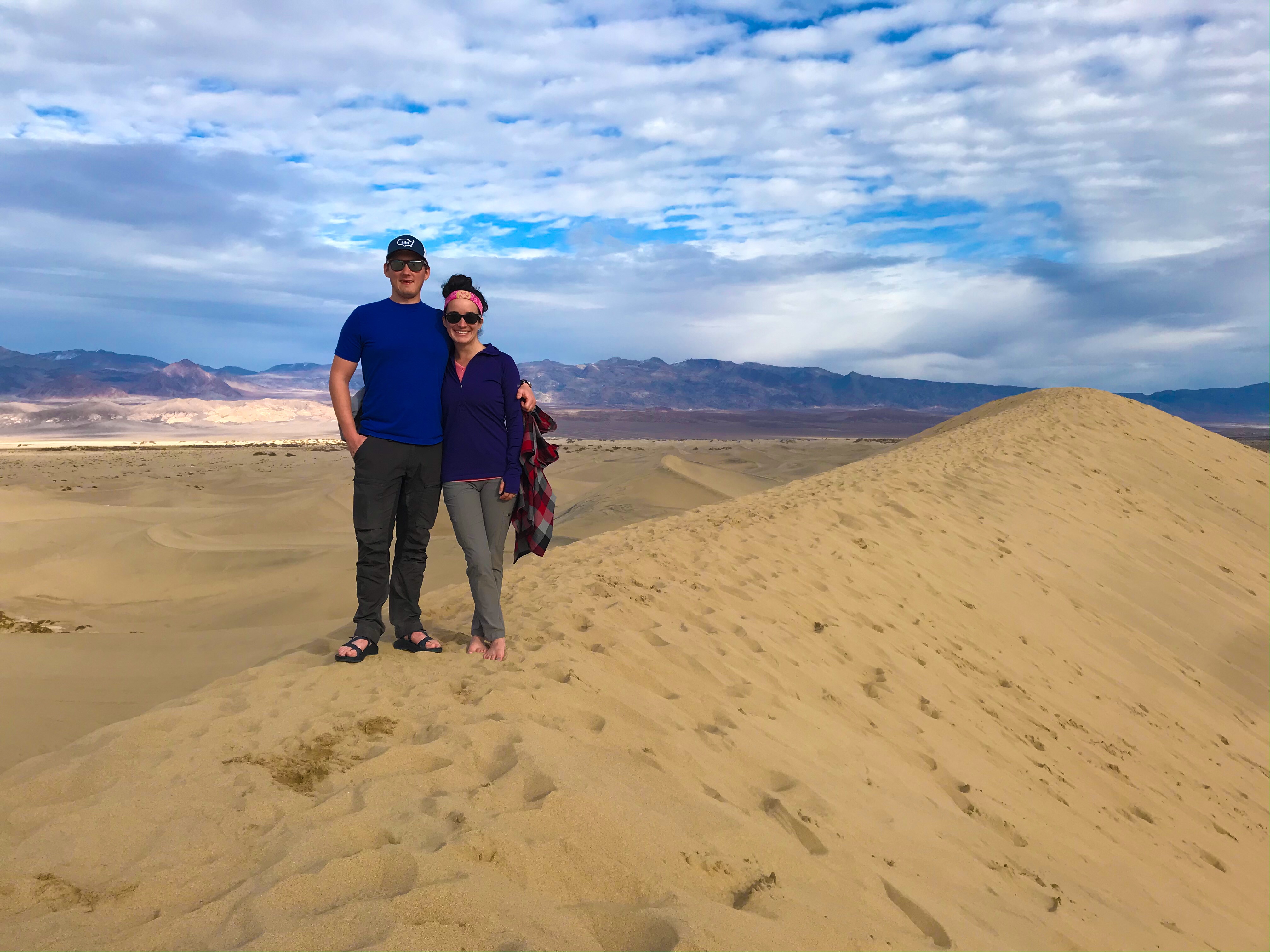
Most people wore sandals or went without shoes.
After just these two hikes, we were wiped and decided to call it an early night!
Day 4
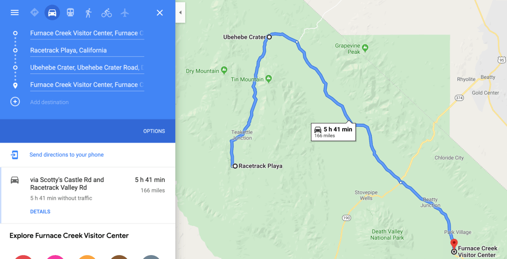
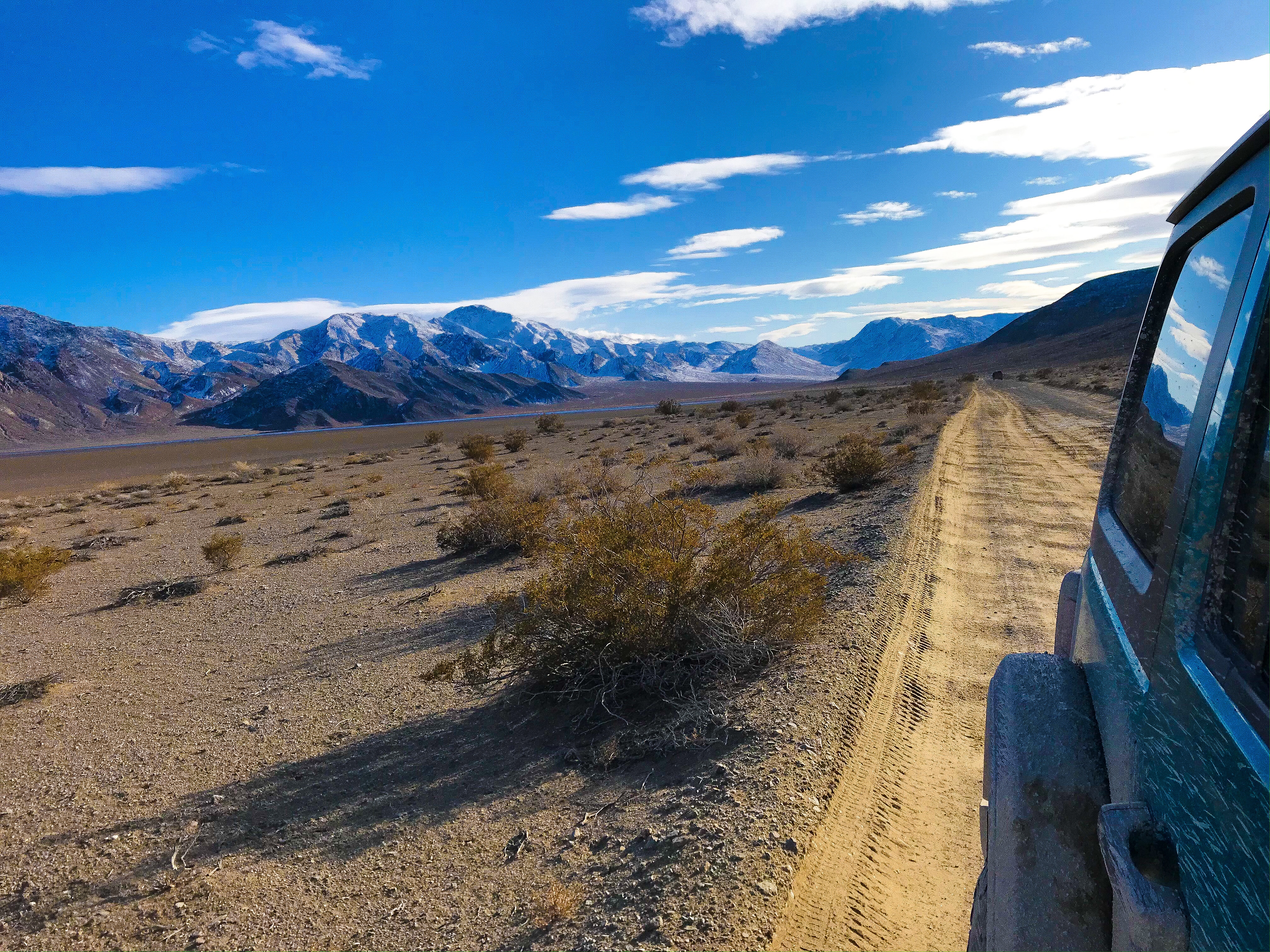
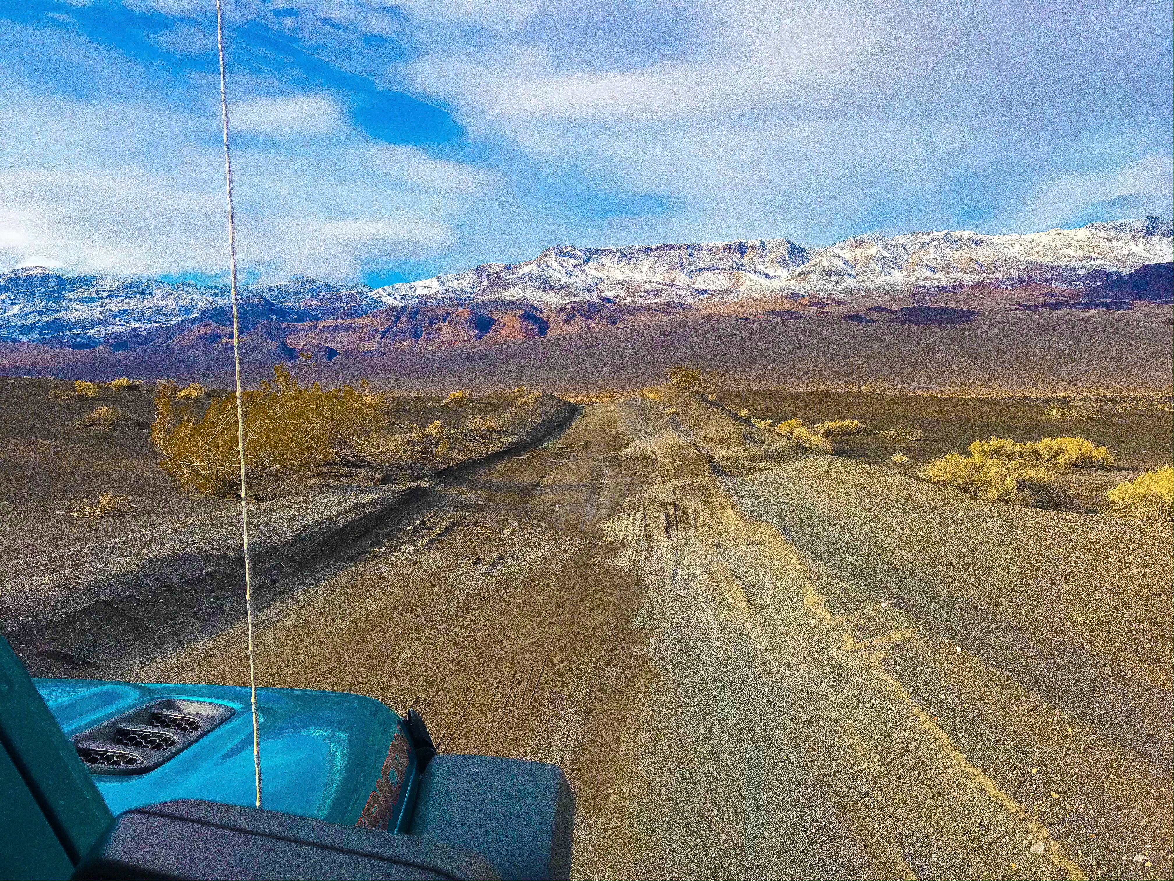
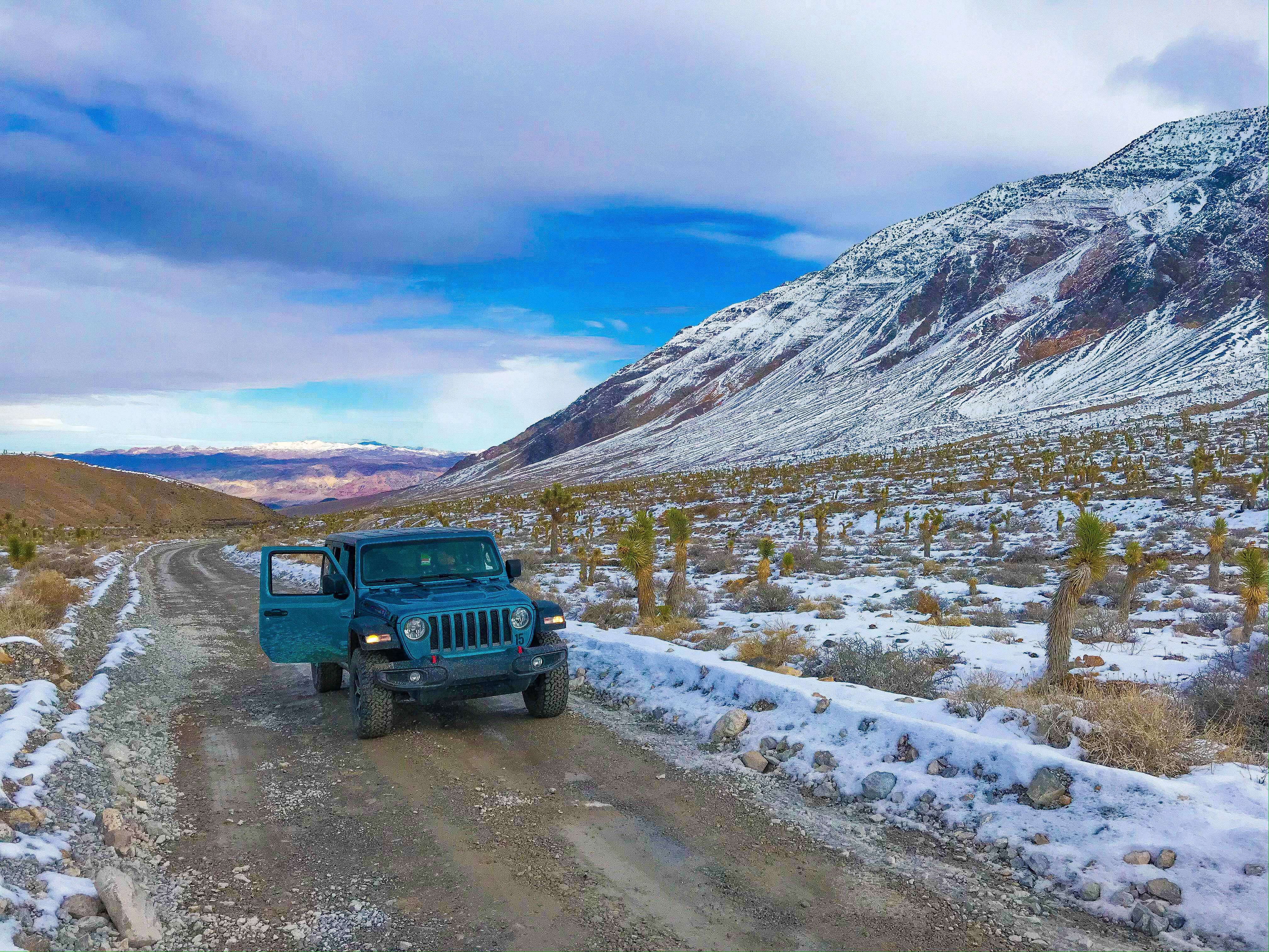
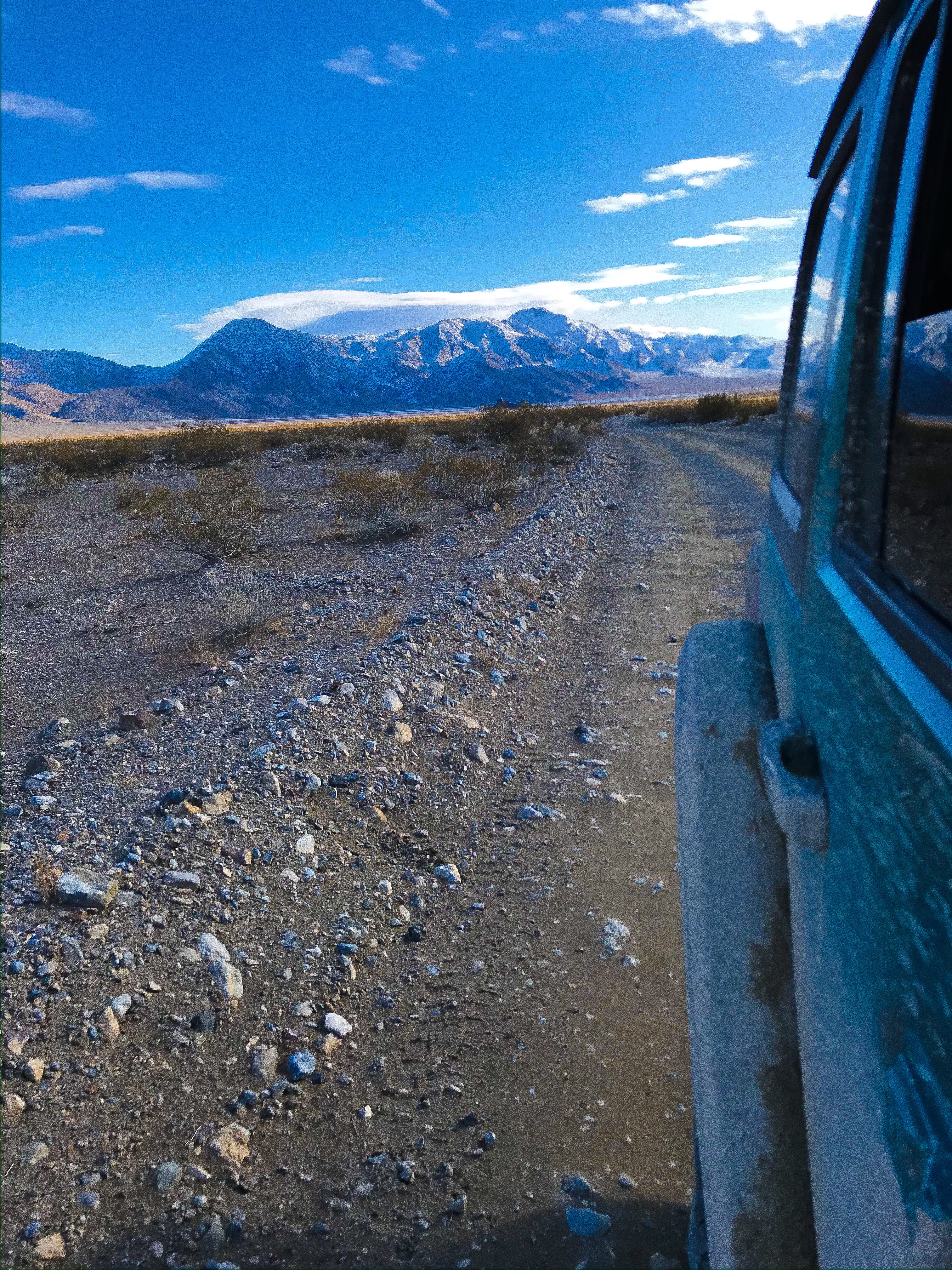
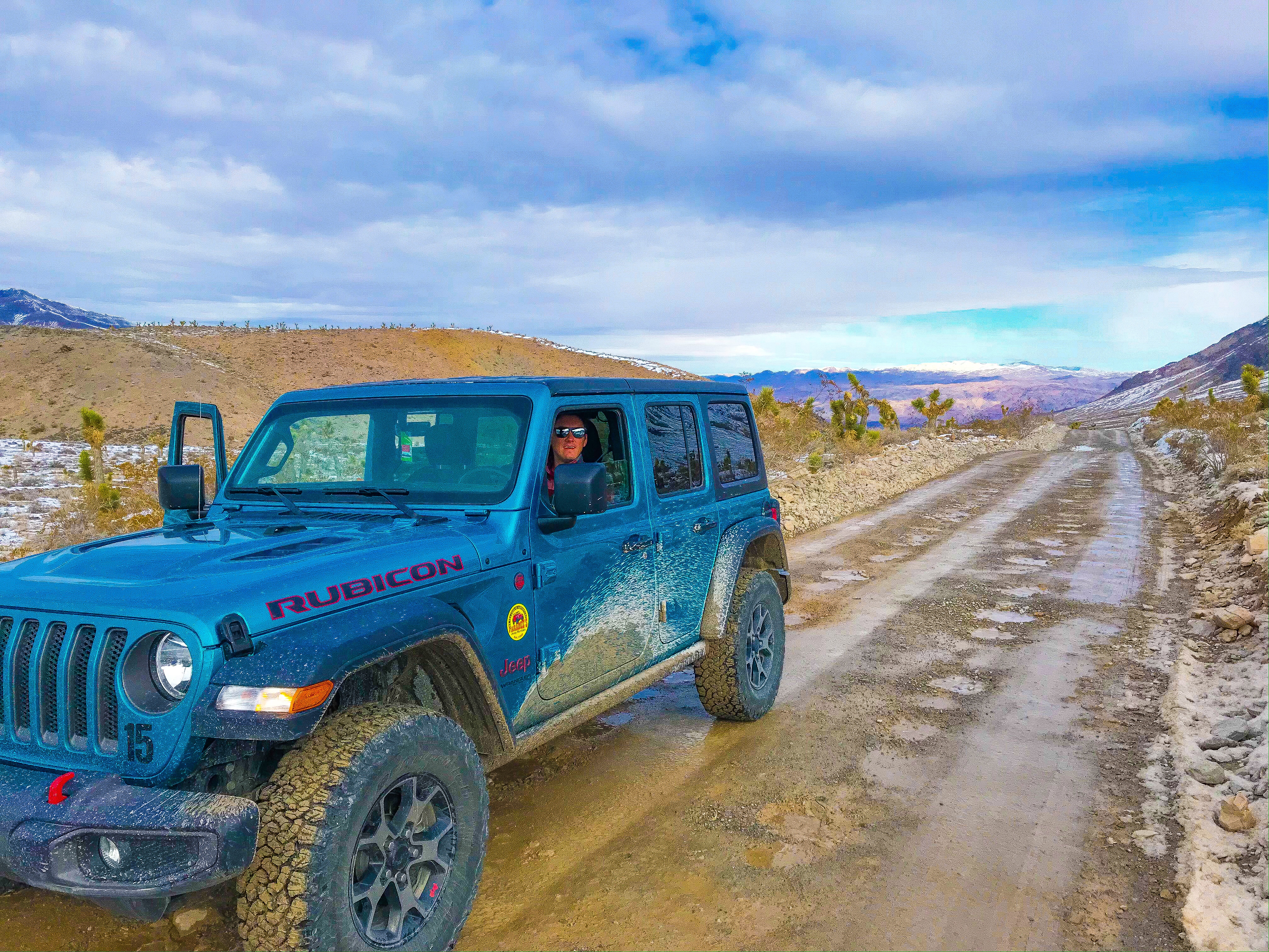
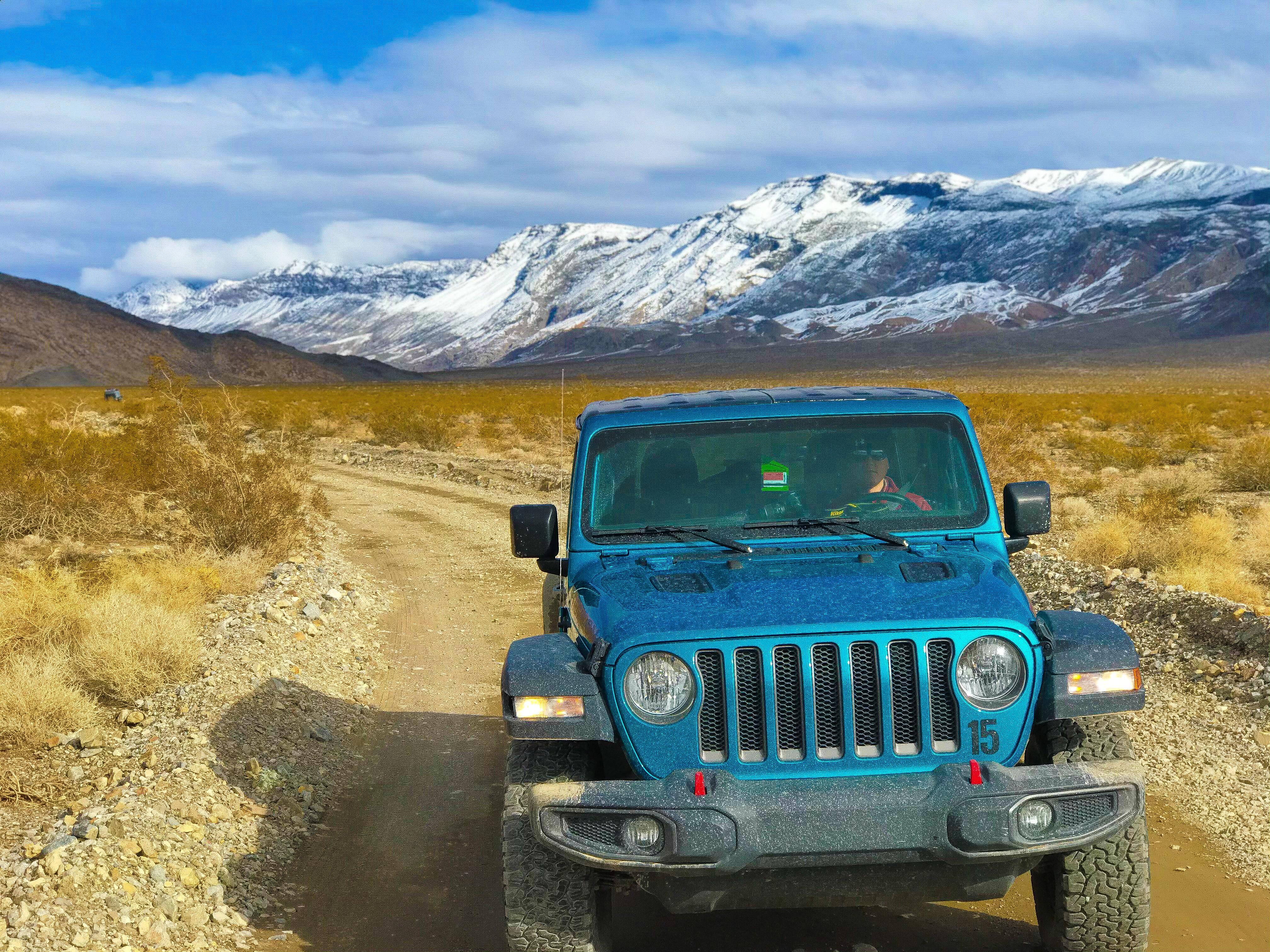
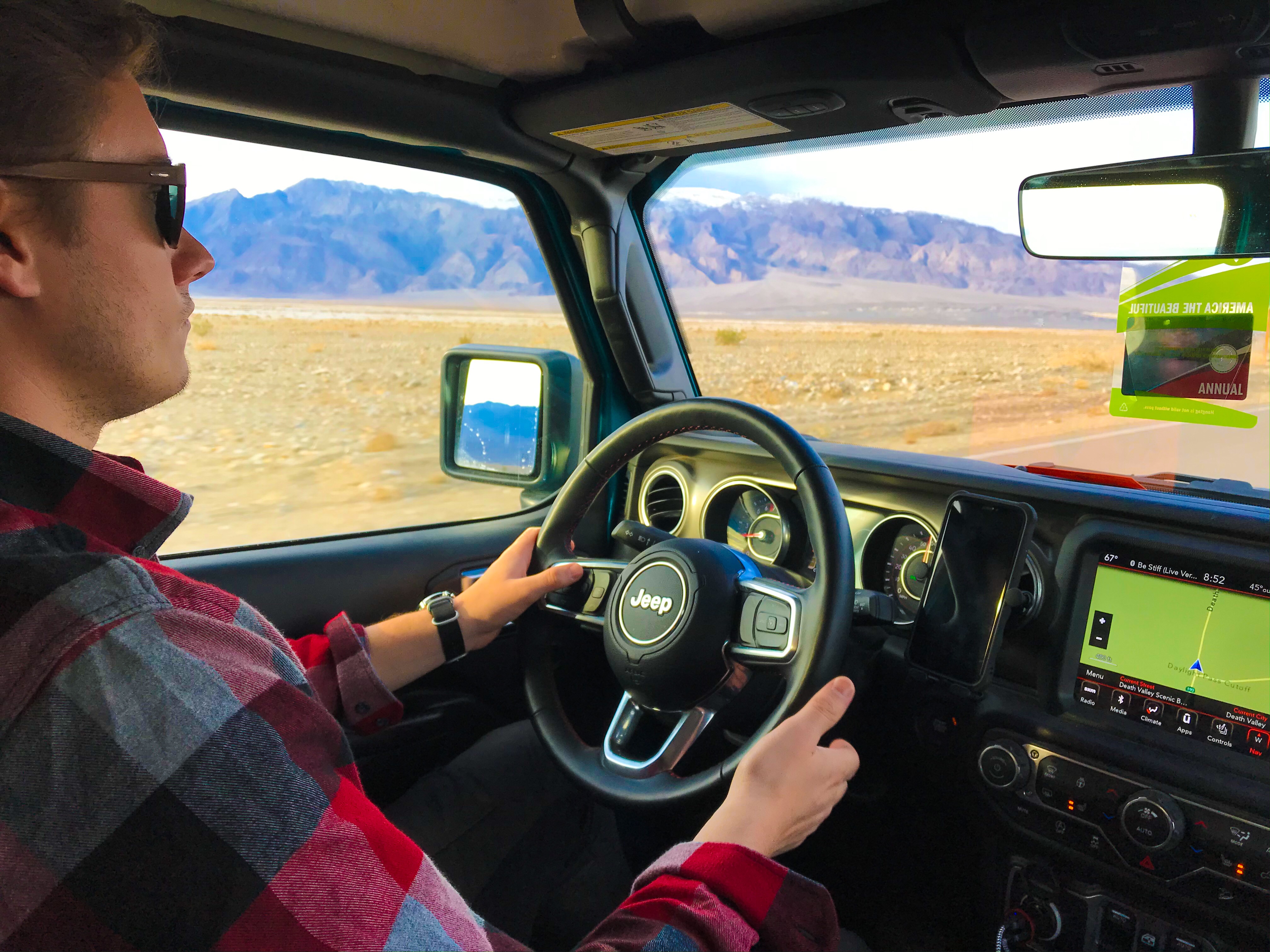
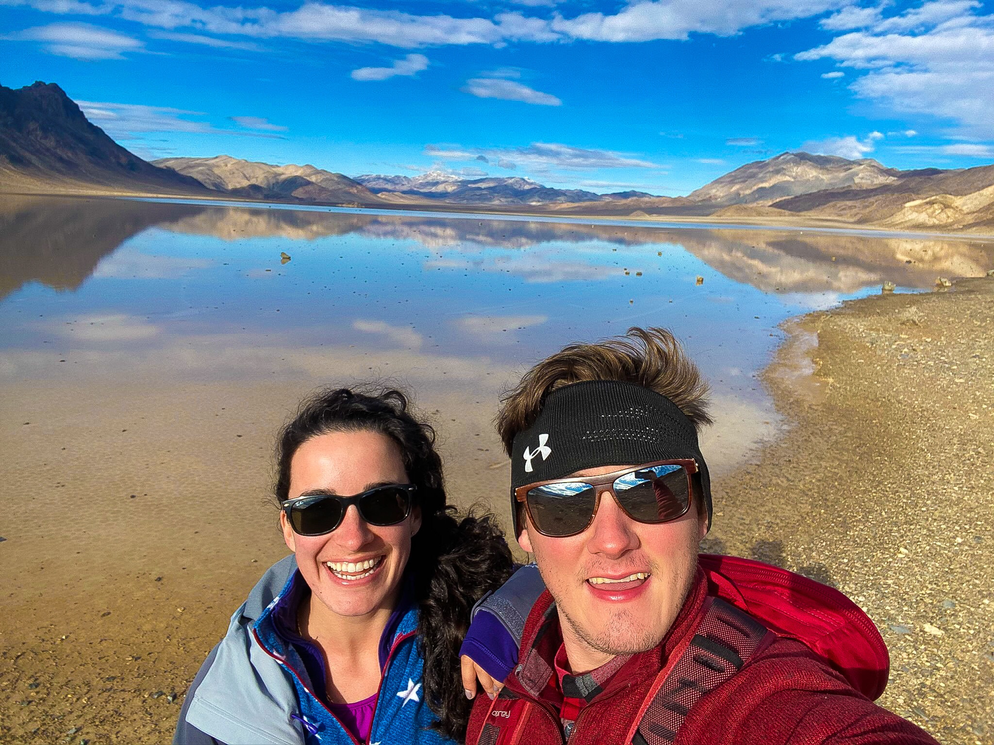
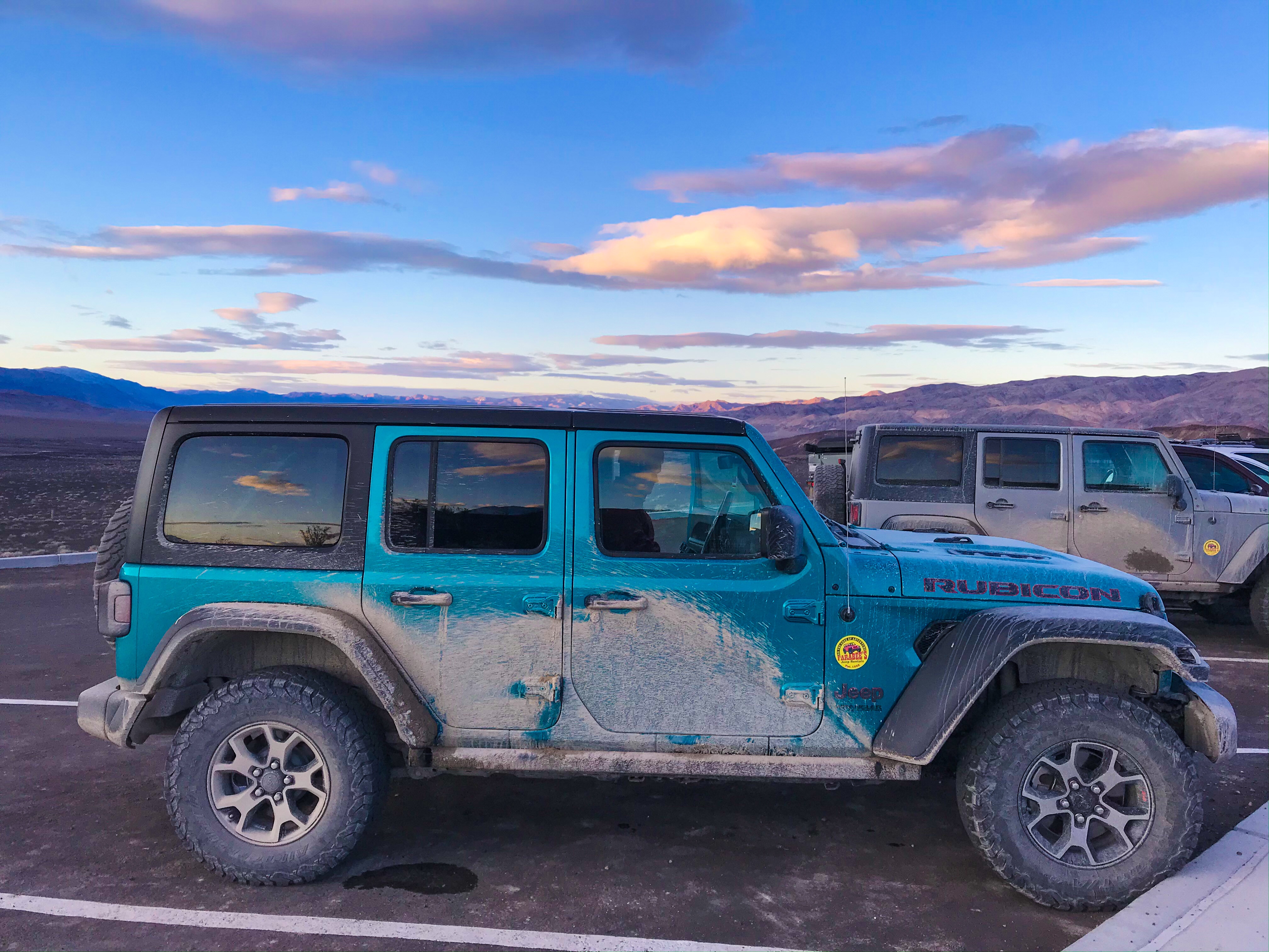
On our last day, we rented a Jeep Wrangler from Farabee’s to drive out to The Racetrack. I’m not going to lie – it was pricey. A 2-door Jeep is $265 + taxes. It was worth it though since we have a sedan and wouldn’t have been able to go off-roading.
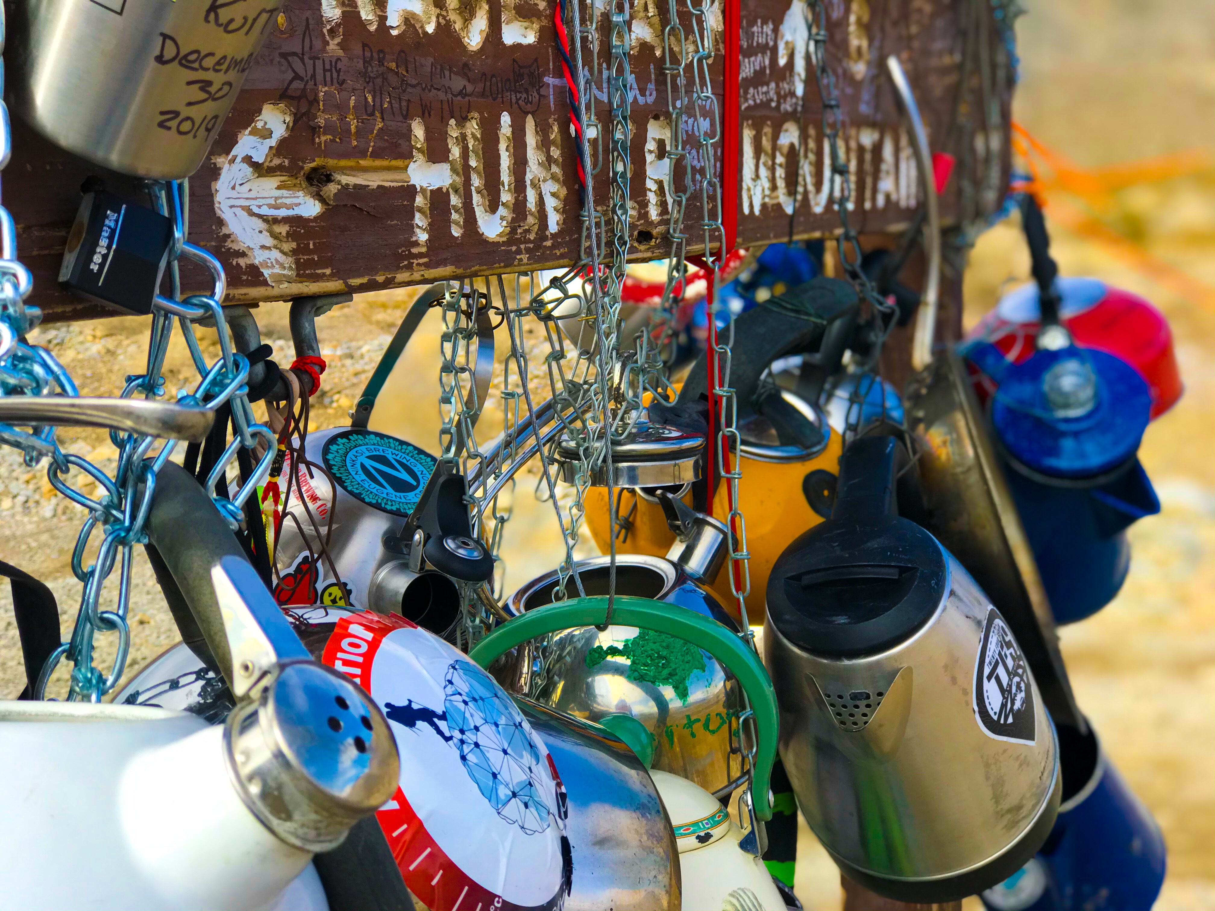
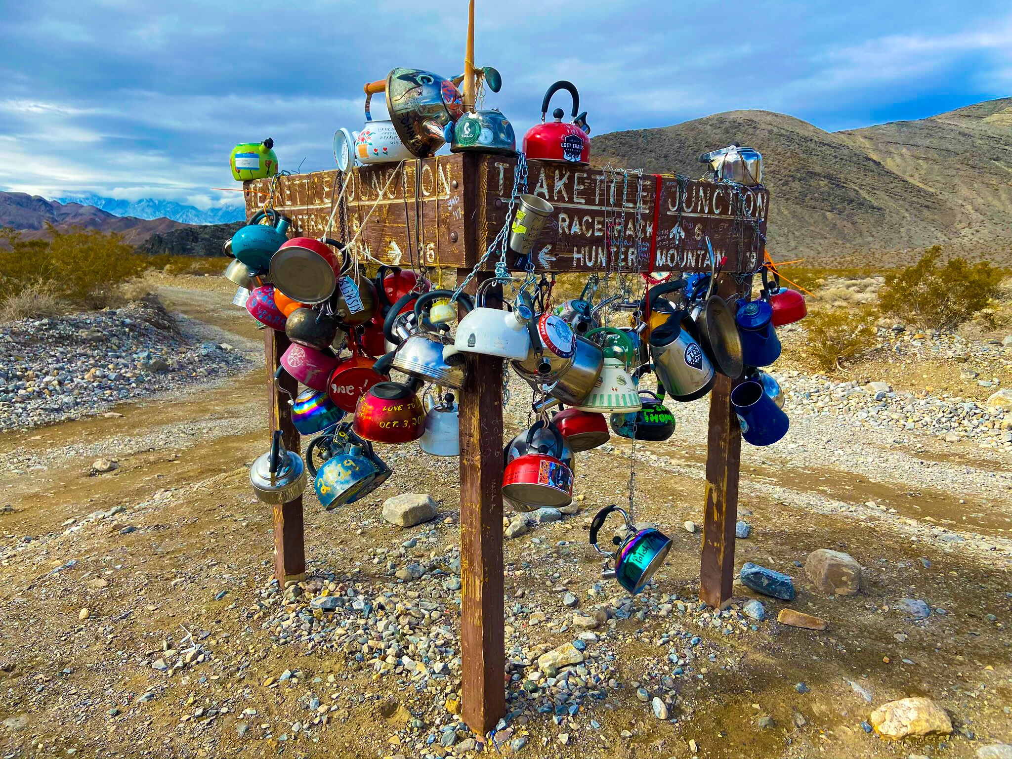
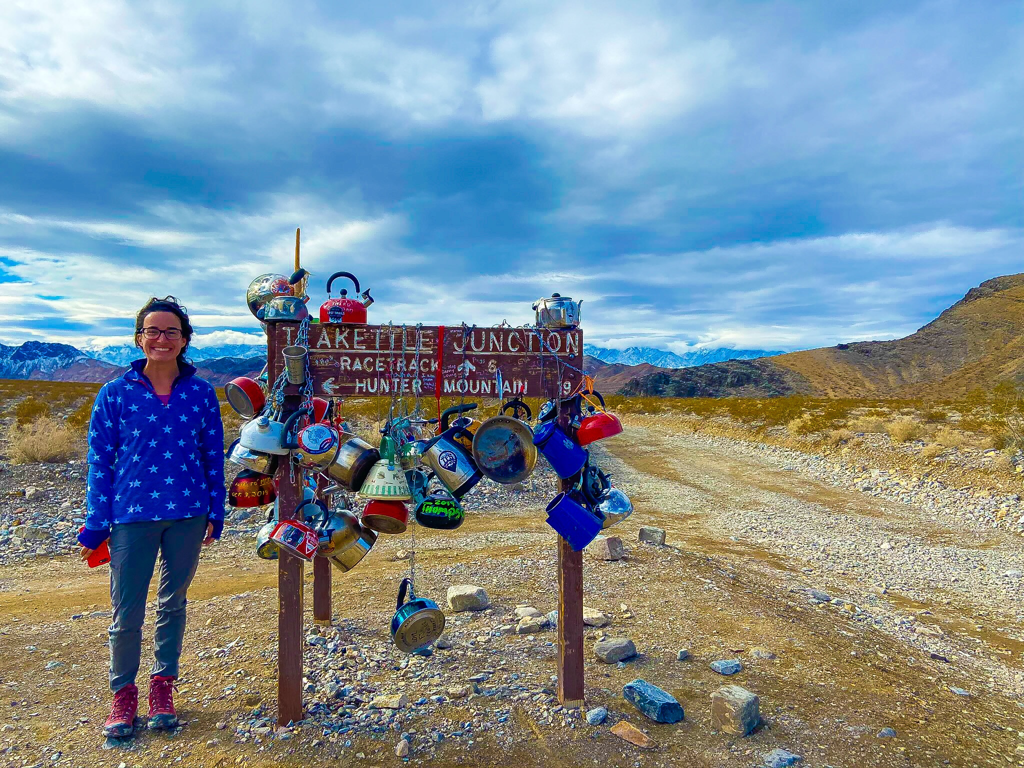
3/4 of the way to The Racetrack, you hit Teakettle Junction… which is literally just a wooden sign with a bunch of teakettles attached. Wish I brought one!
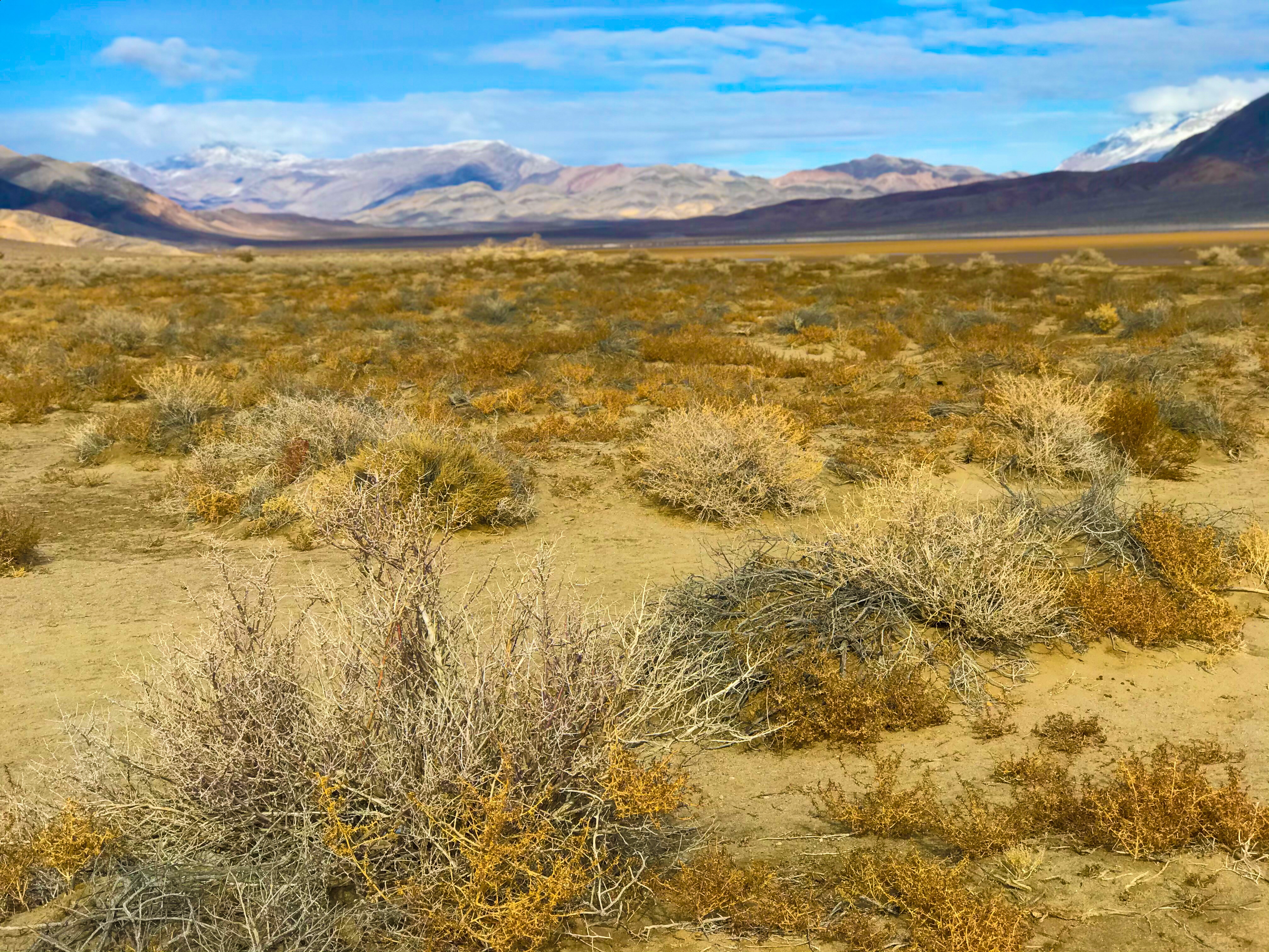
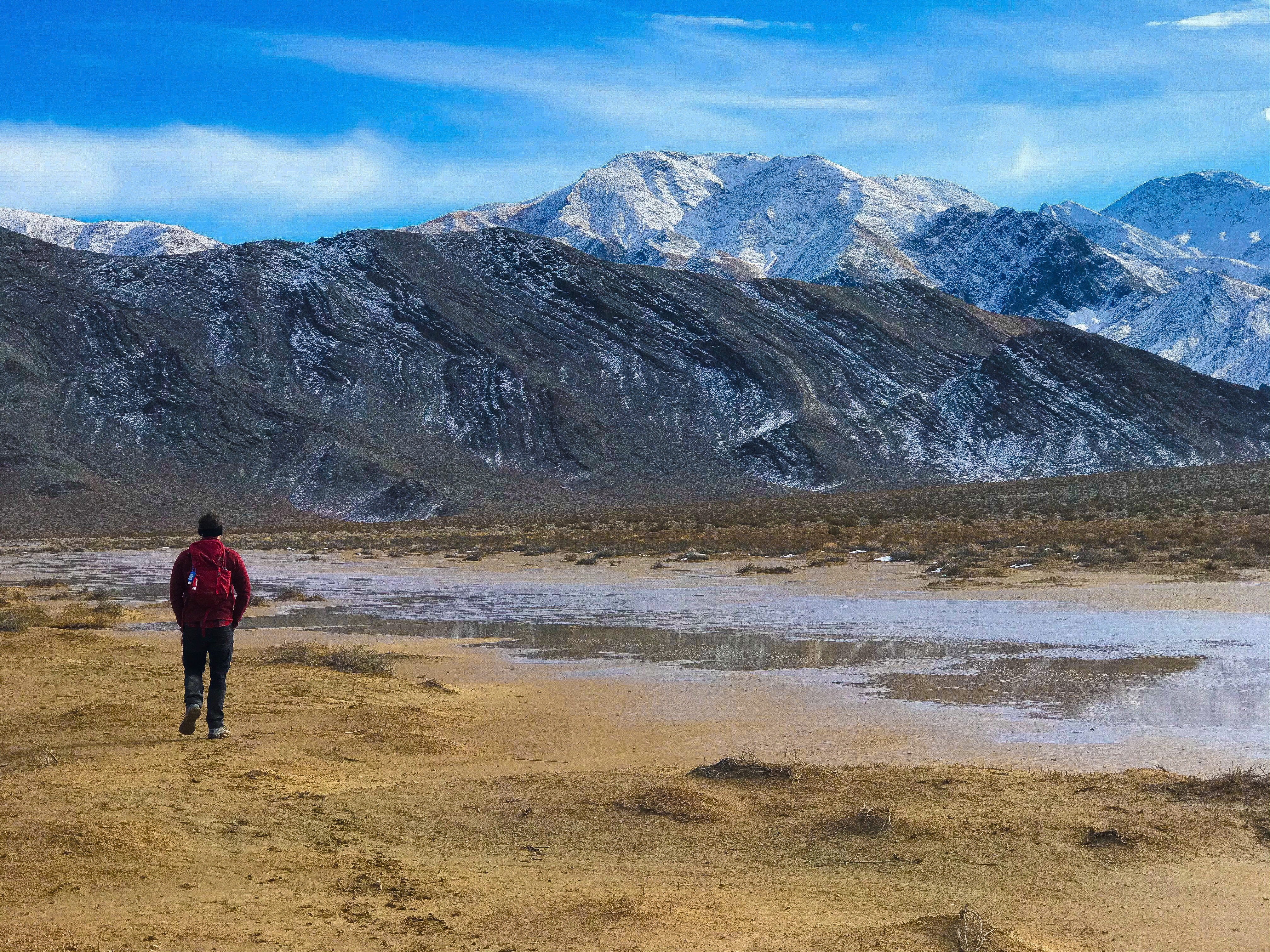
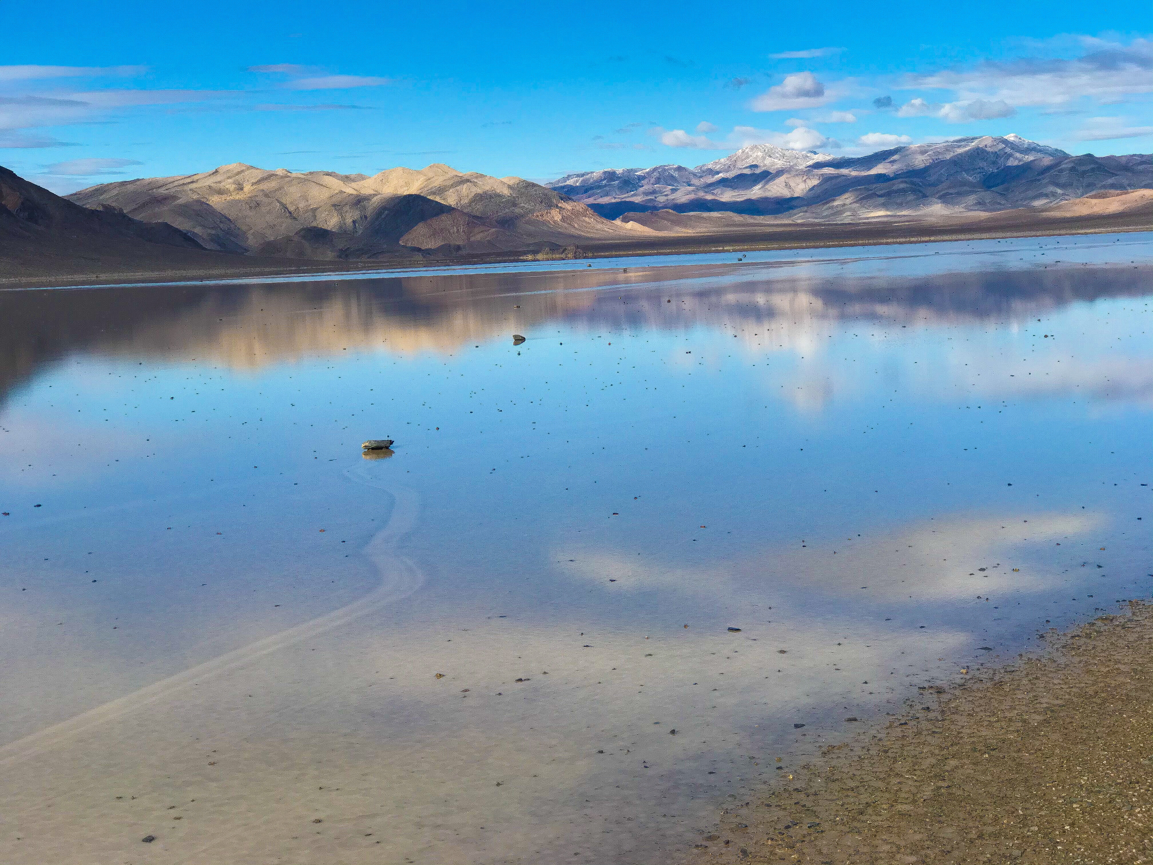
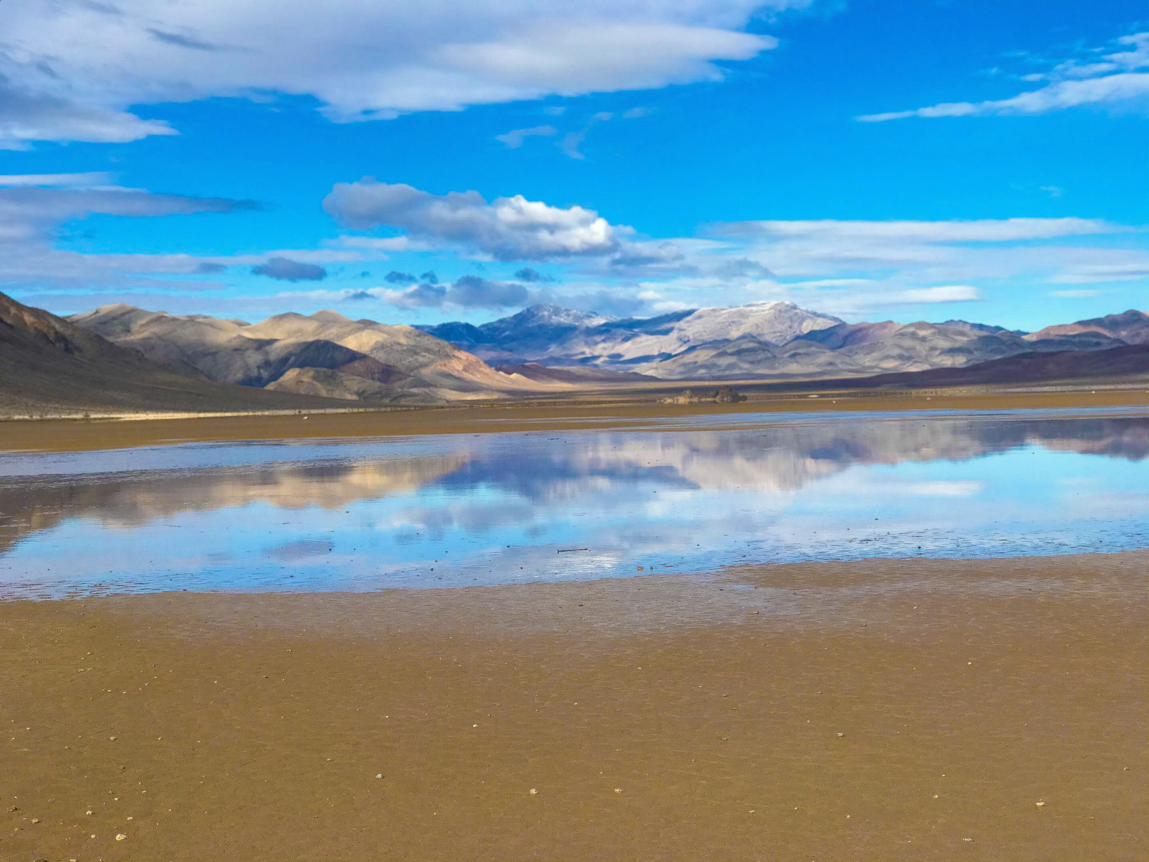
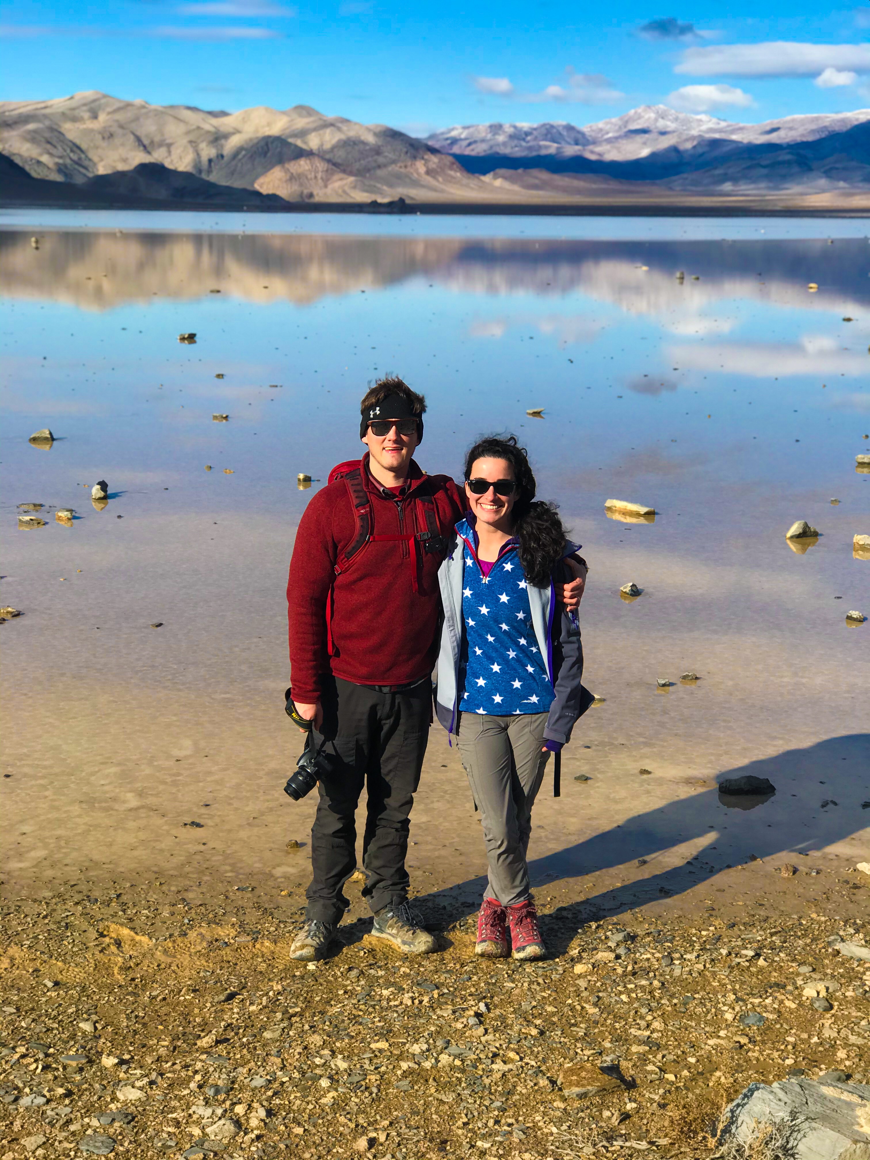
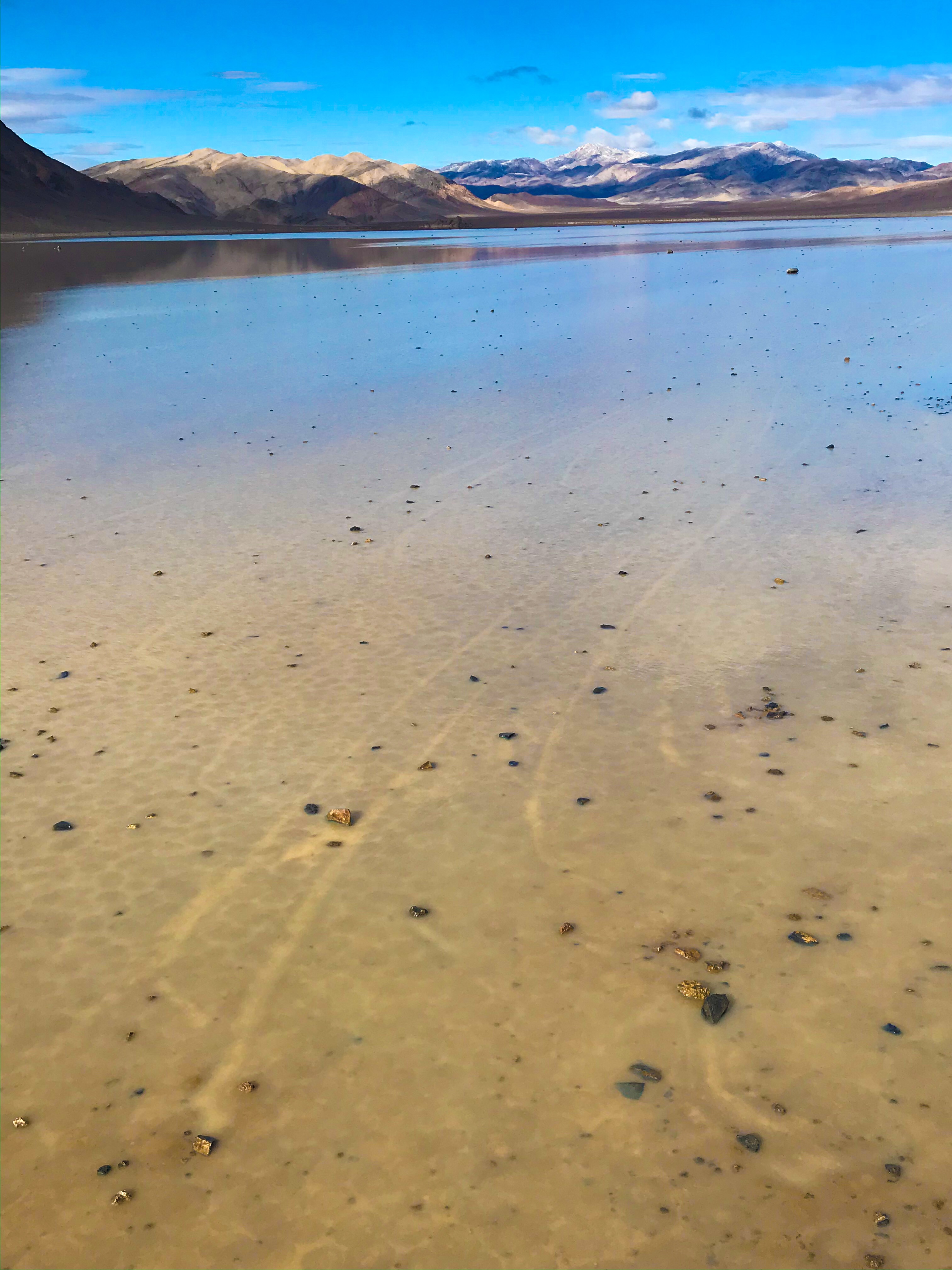
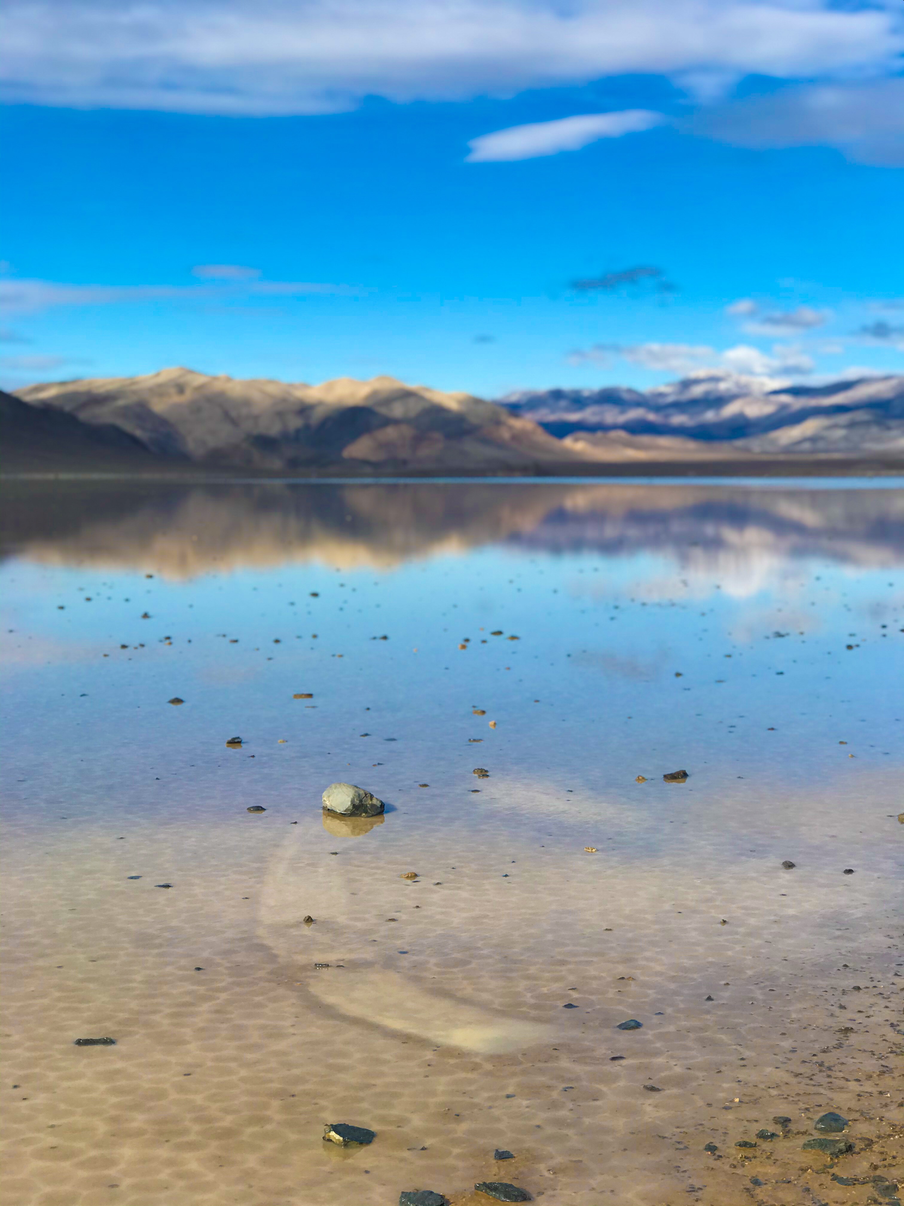
During the rest of the year, you can drive out to the Playa and hike across it. During the Winter, however, the Playa floods. If you were to walk on it, your footprints would be cemented almost permanently. Preserve the parks for future generations!!
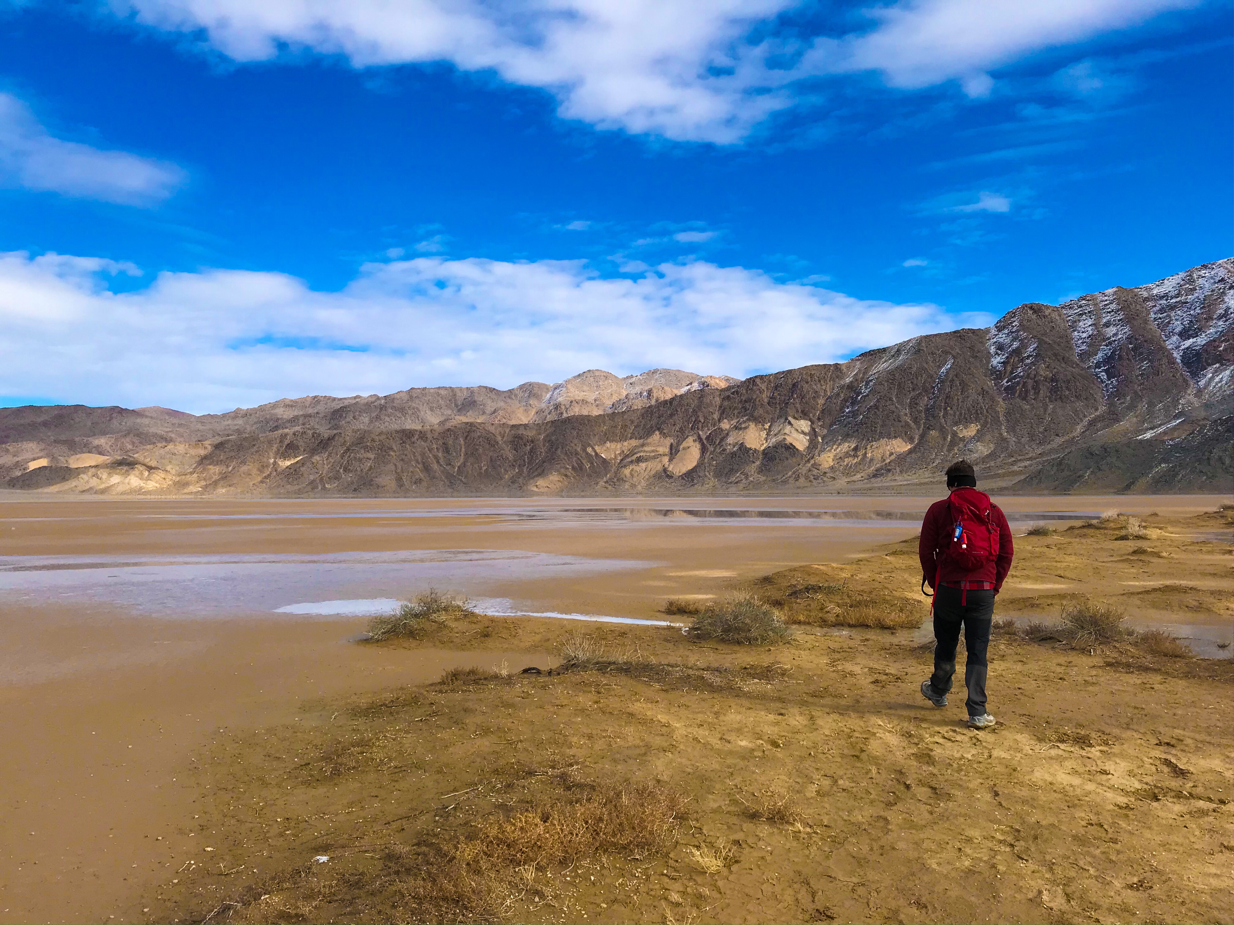
We drove 3 hours to the Playa, and then hiked behind the Playa (on flat ground) and went over to the “Nursery” – part of the Playa with rocks that fell from the cliffs hovering above the edge. These rocks end up moving… all by themselves.
If you haven’t heard of “sailing stones,” “moving rocks,” or any other term used to describe these slowly moving rocks without any cause, look it up. It’s pretty wild, and until just a couple of months ago, people literally had no better explanation than aliens.
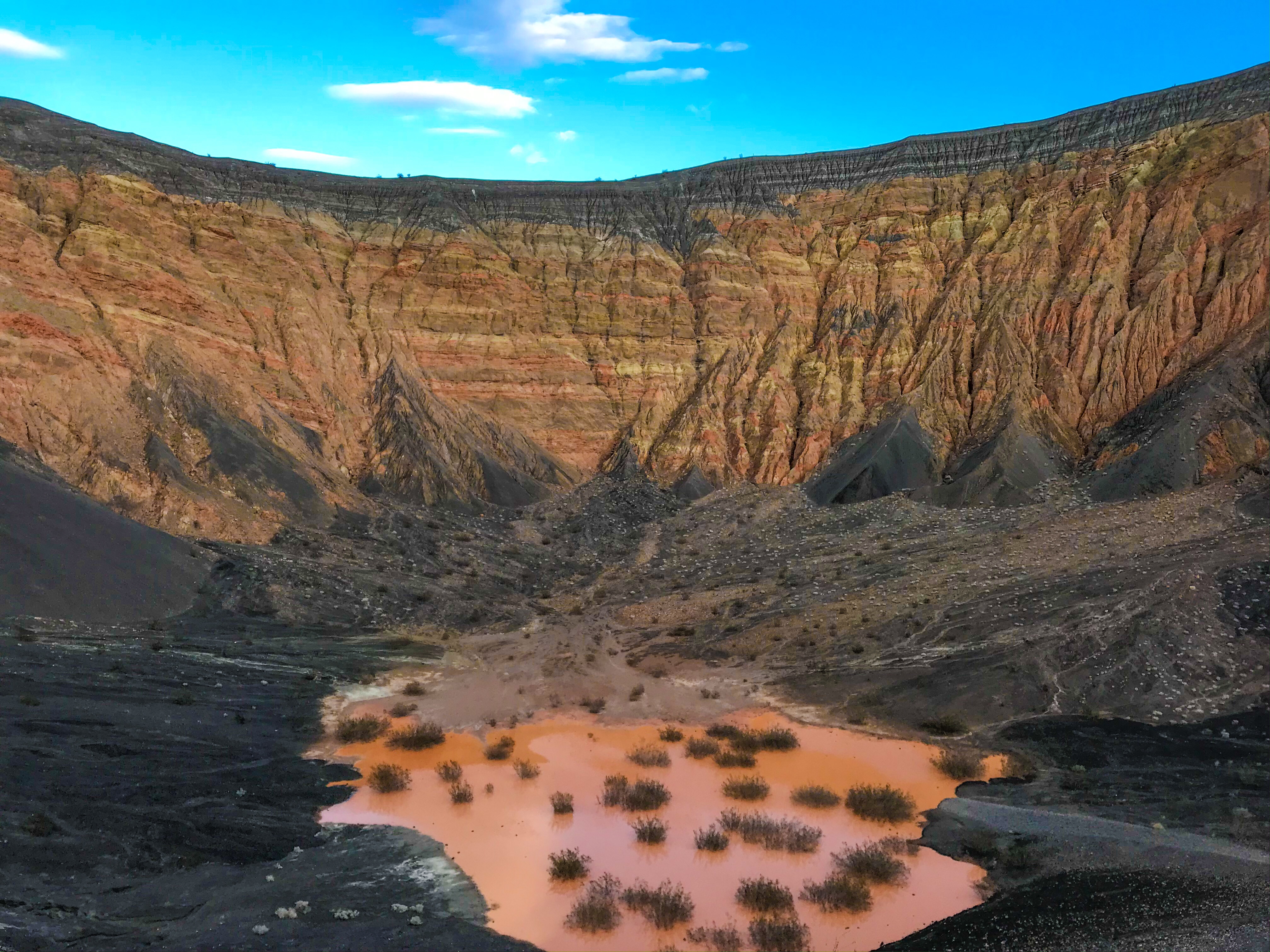
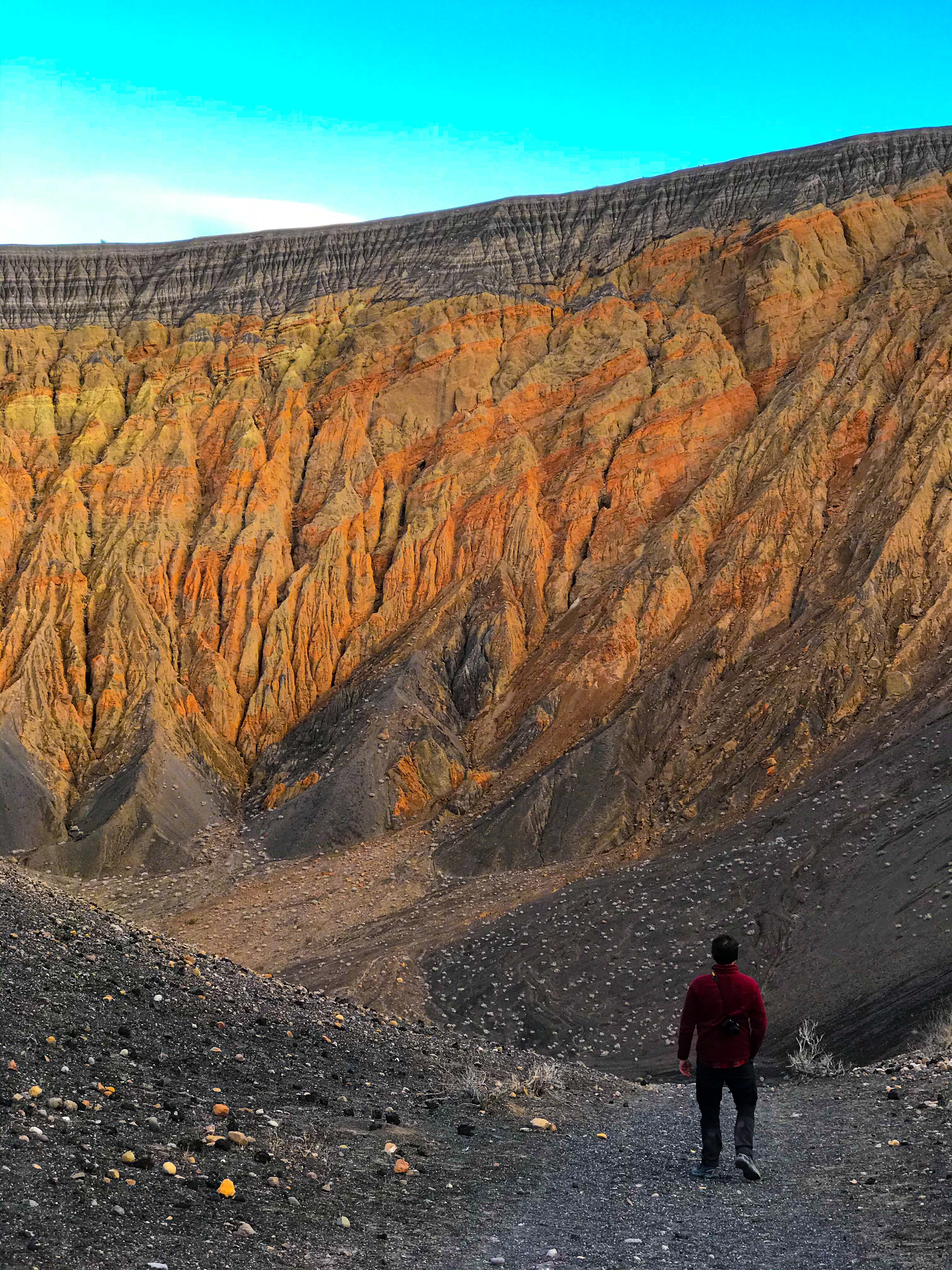
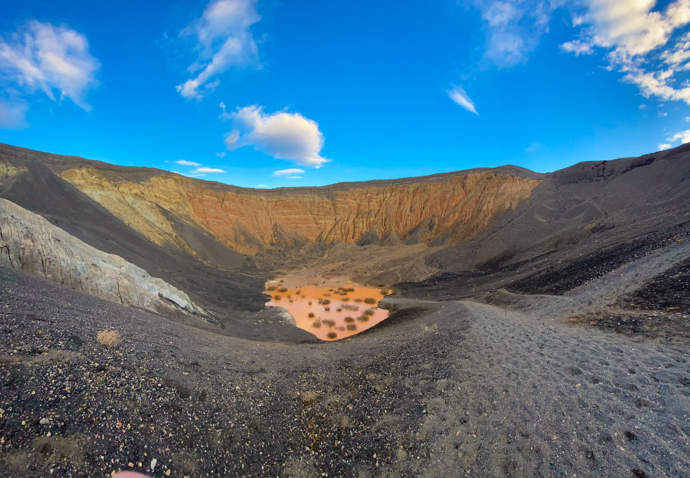
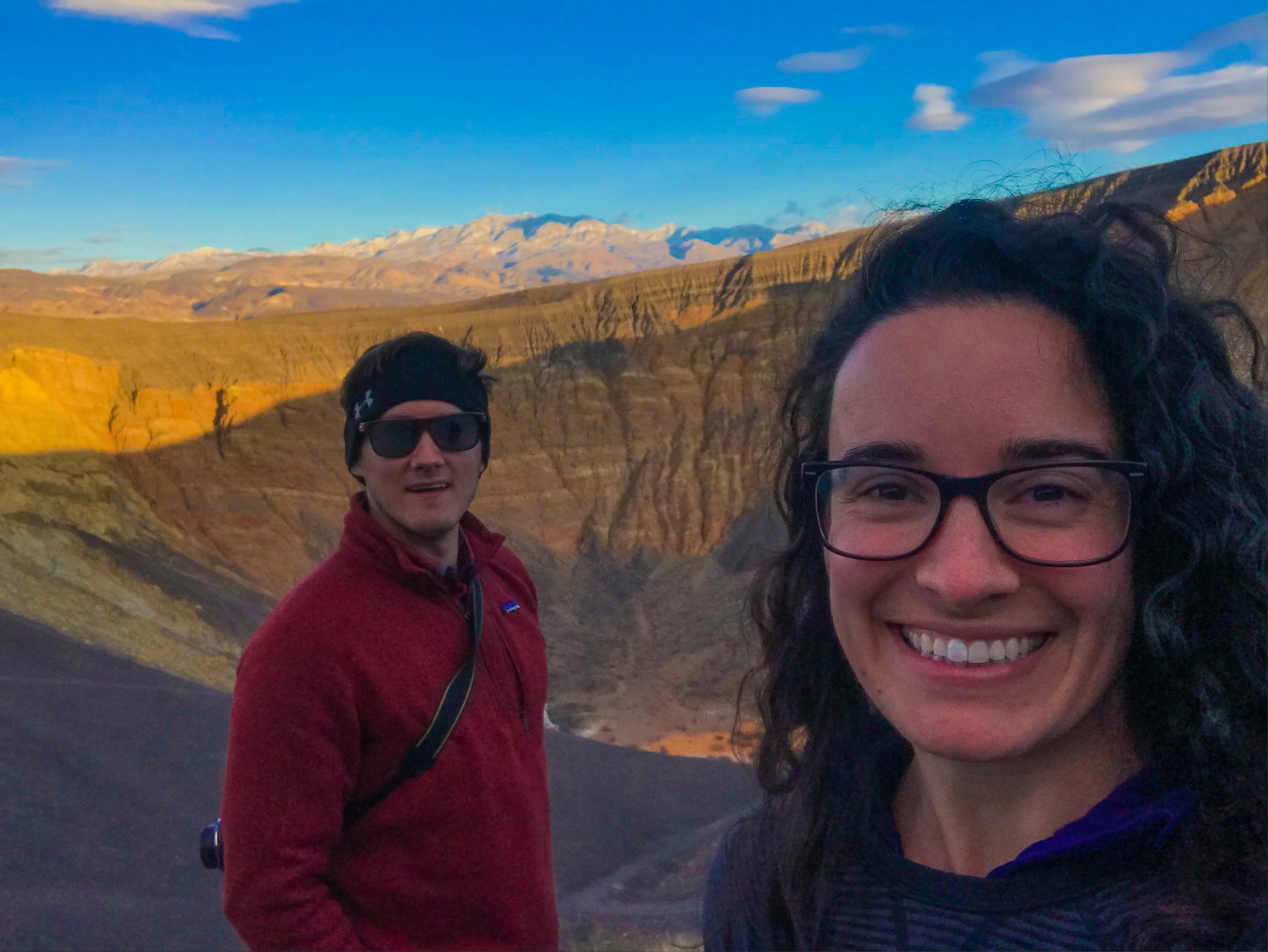
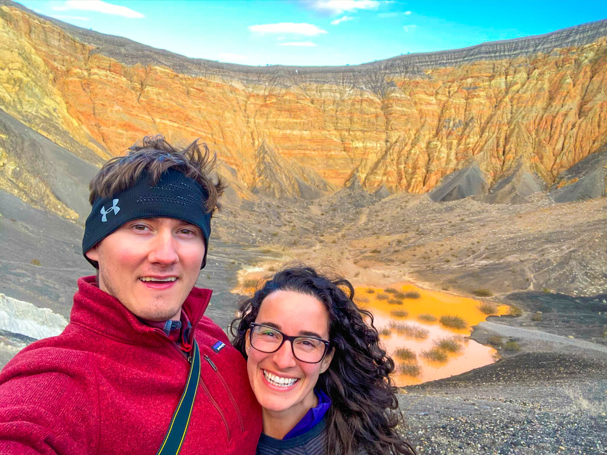
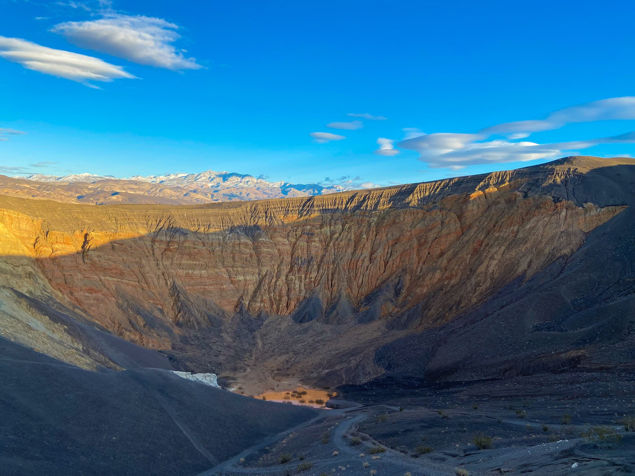
On the drive back, we stopped off at Ubehebe Crater… and then hiked into it. It looks massive from the edge of the crater, and it was very challenging getting back up it.
Sunsets in Death Valley never disappointed!