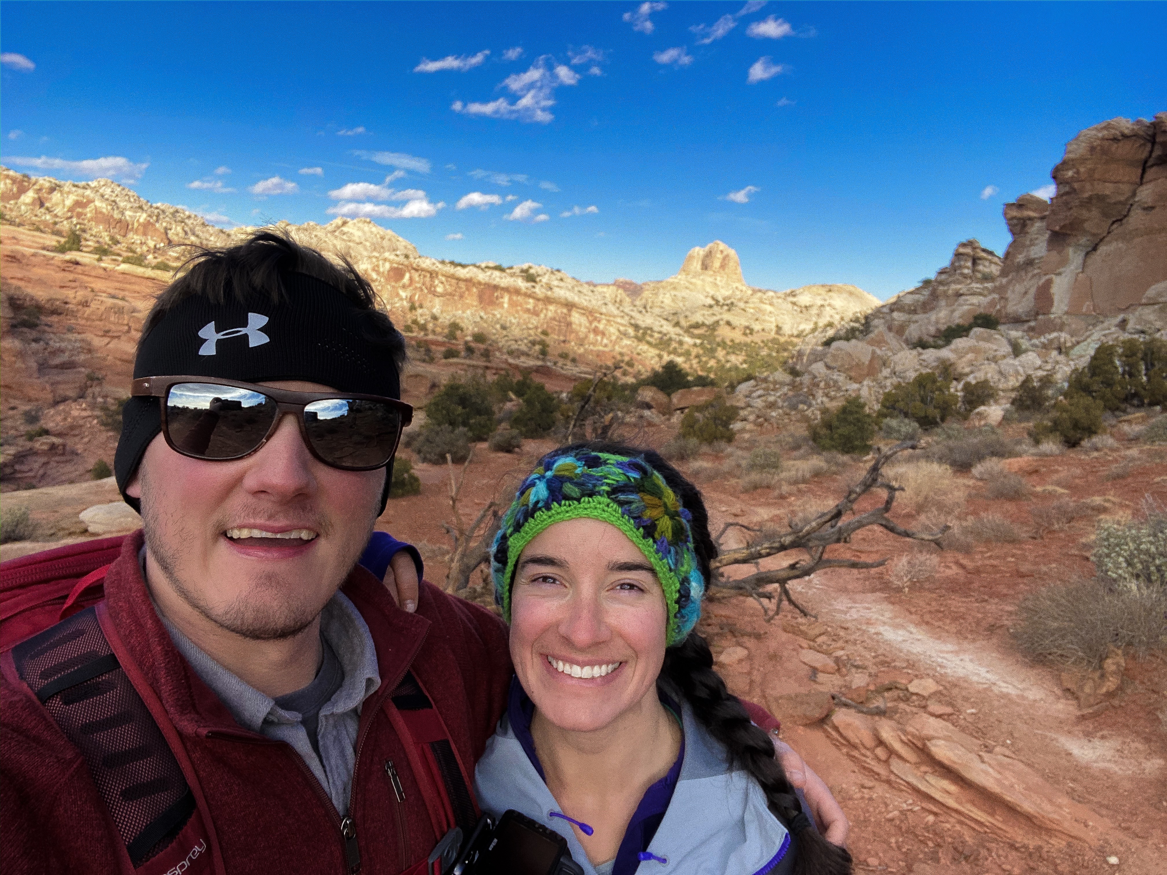
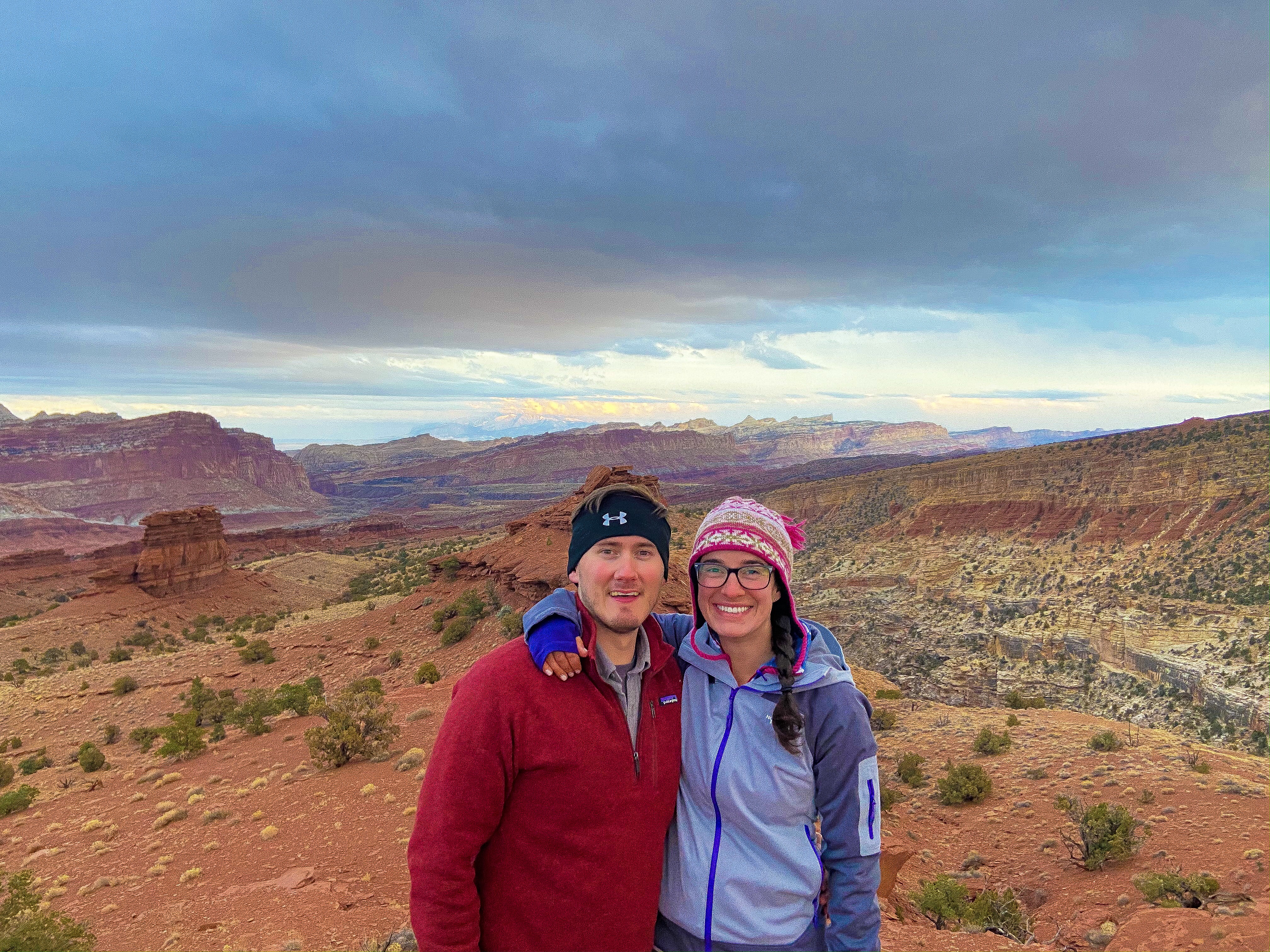
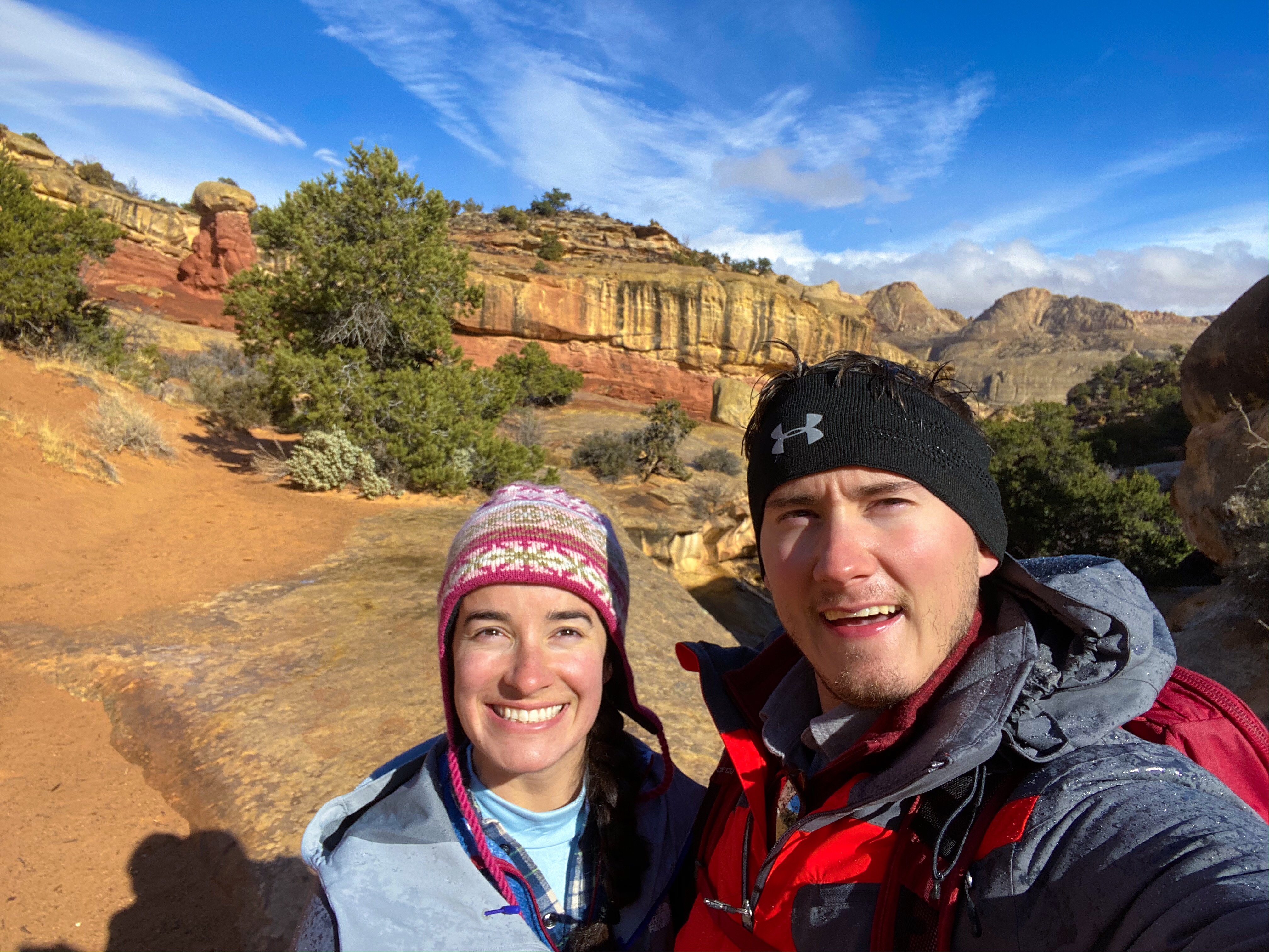
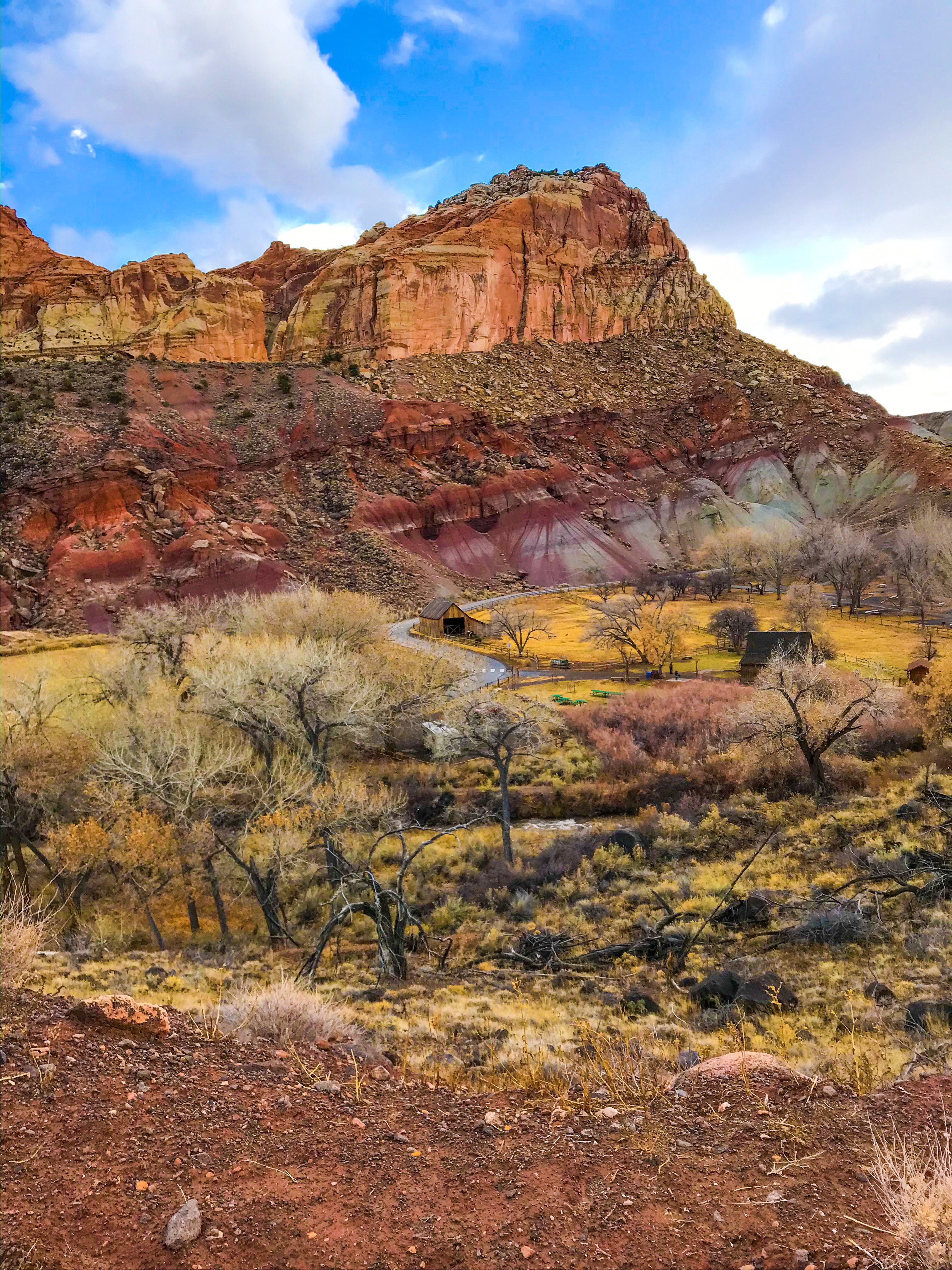
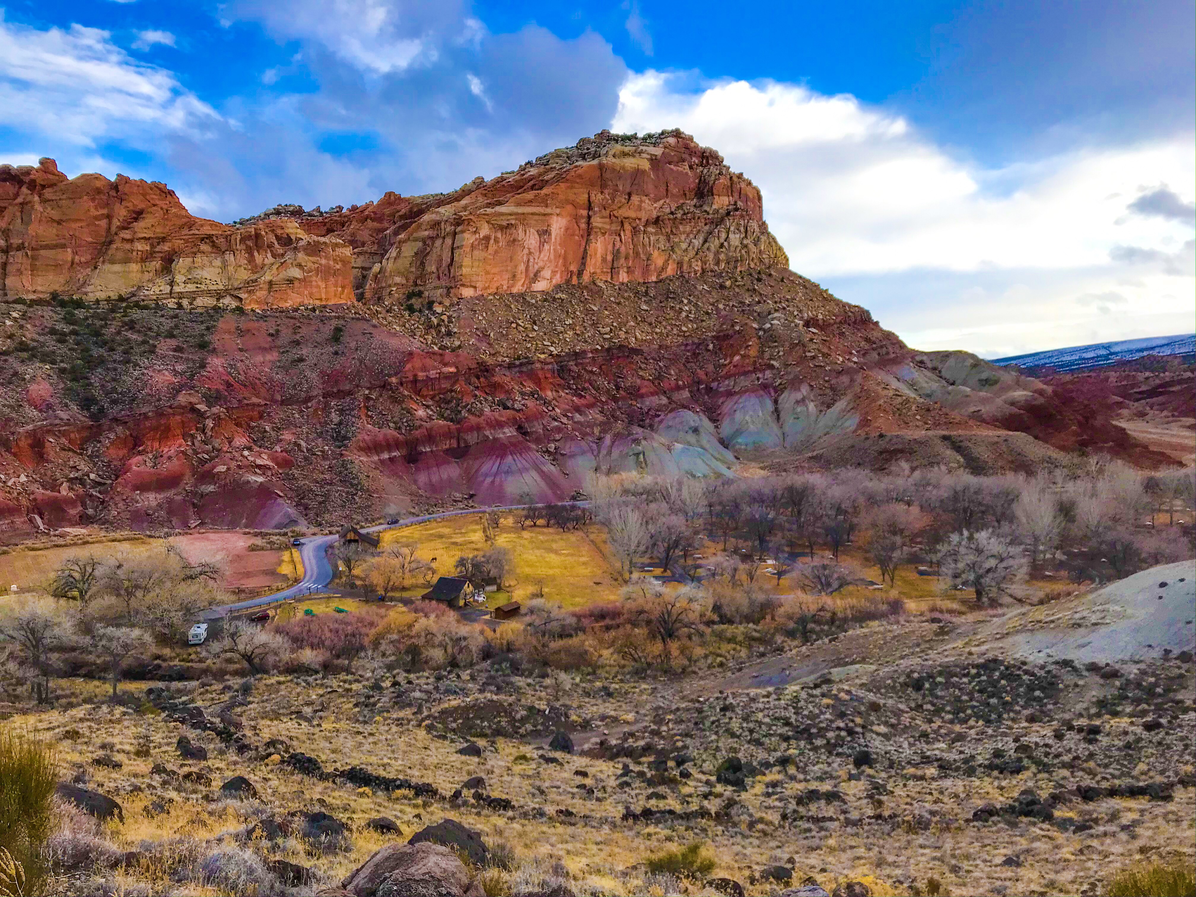
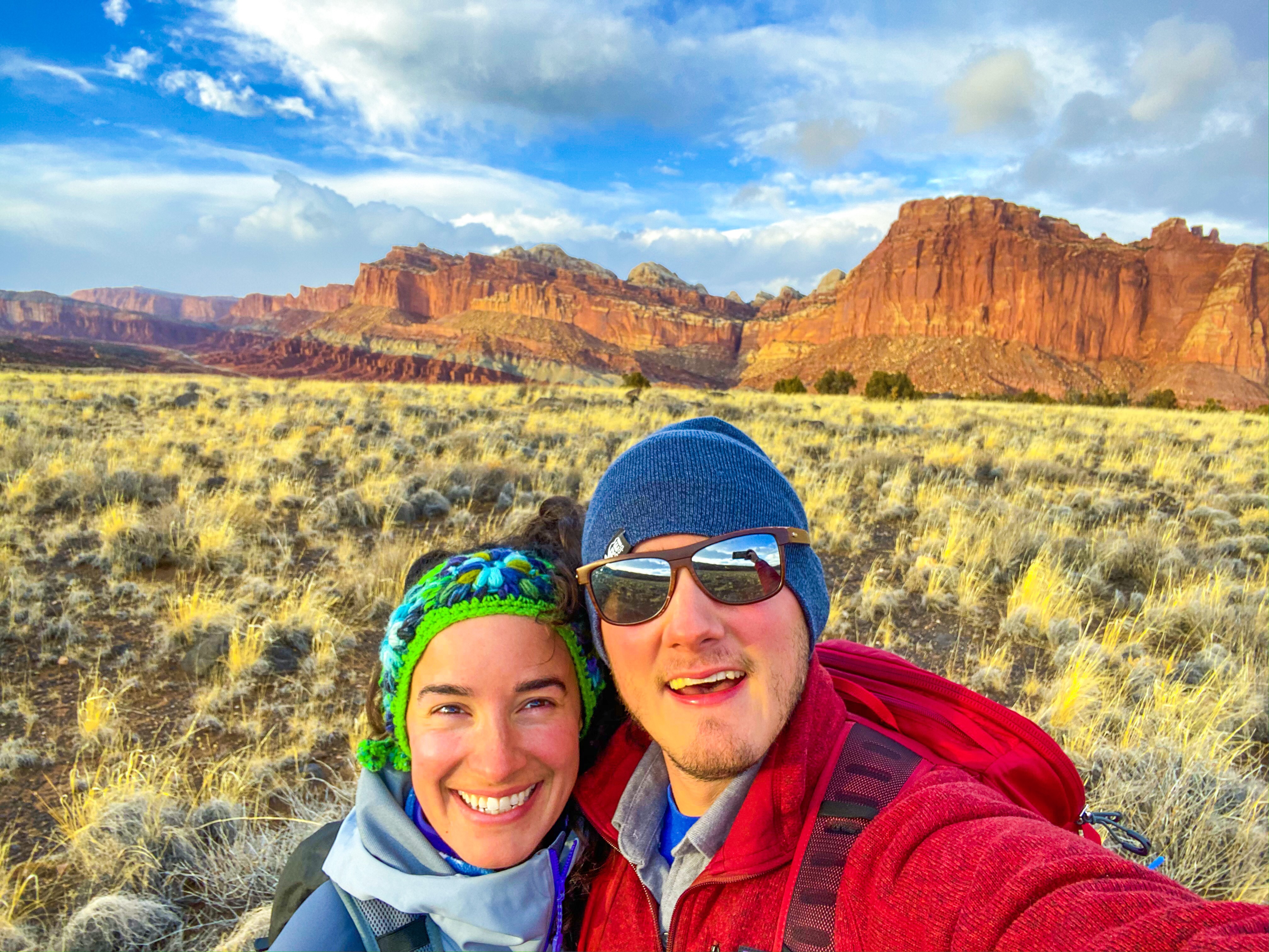
Our Thanksgiving trip to Capitol Reef – suffice it to say I was in awe the entire time. This was my first red rock park, and my nose was plastered to the window looking outside the entire time. Manfriend kept saying that this was one of the least popular parks, and there were hardly any people there probably due to the time of year, but it was spectacular.
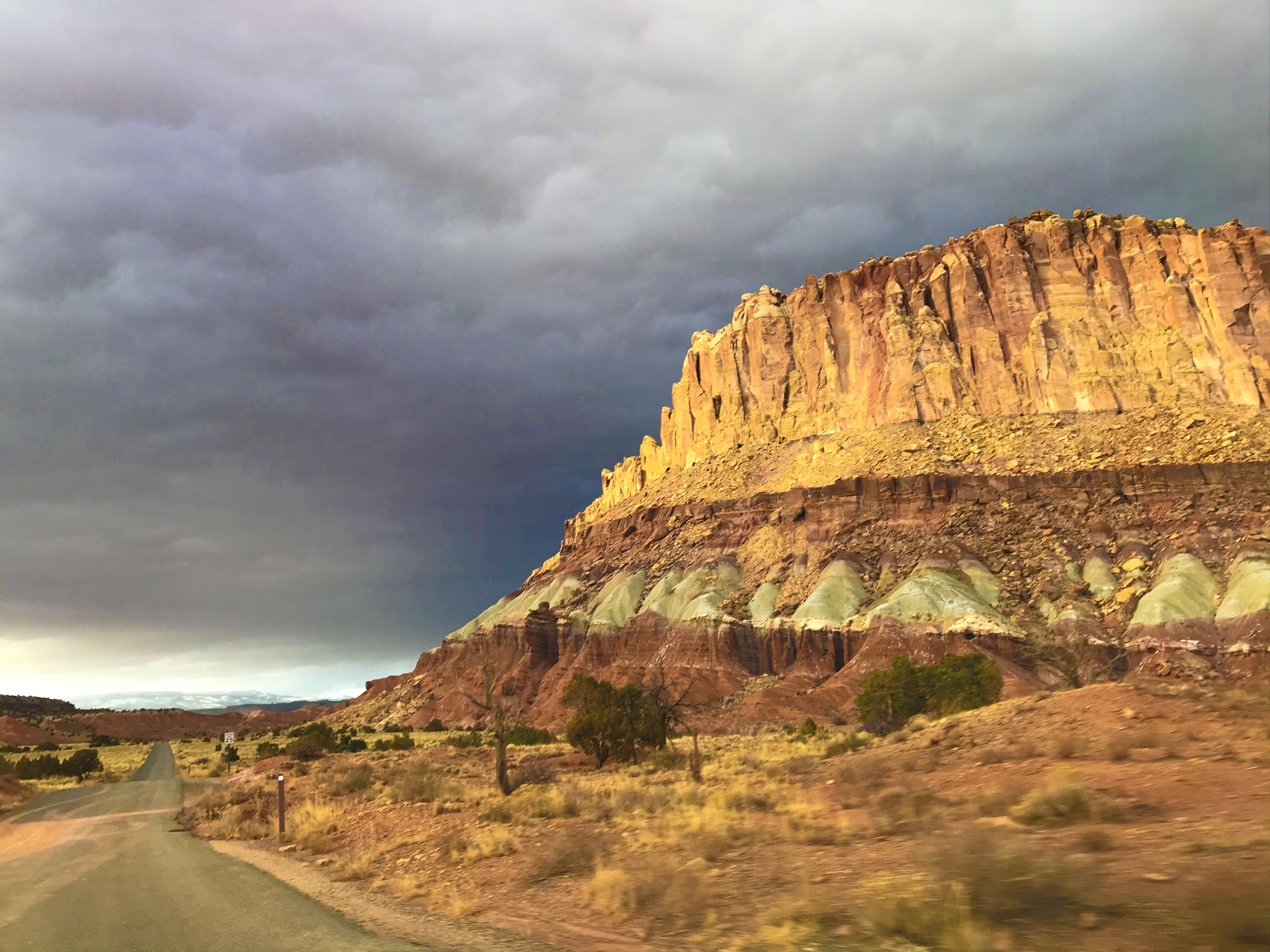
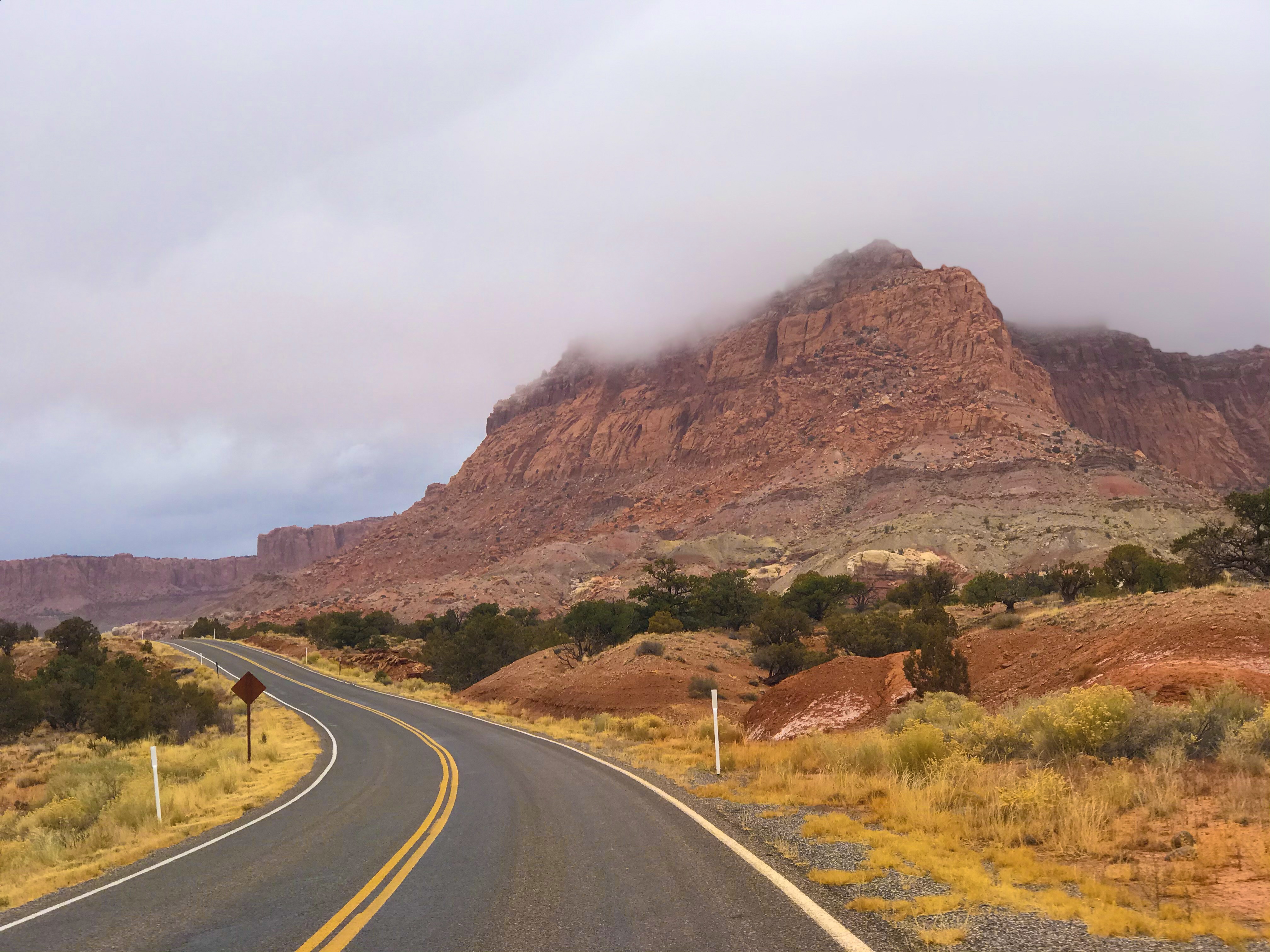
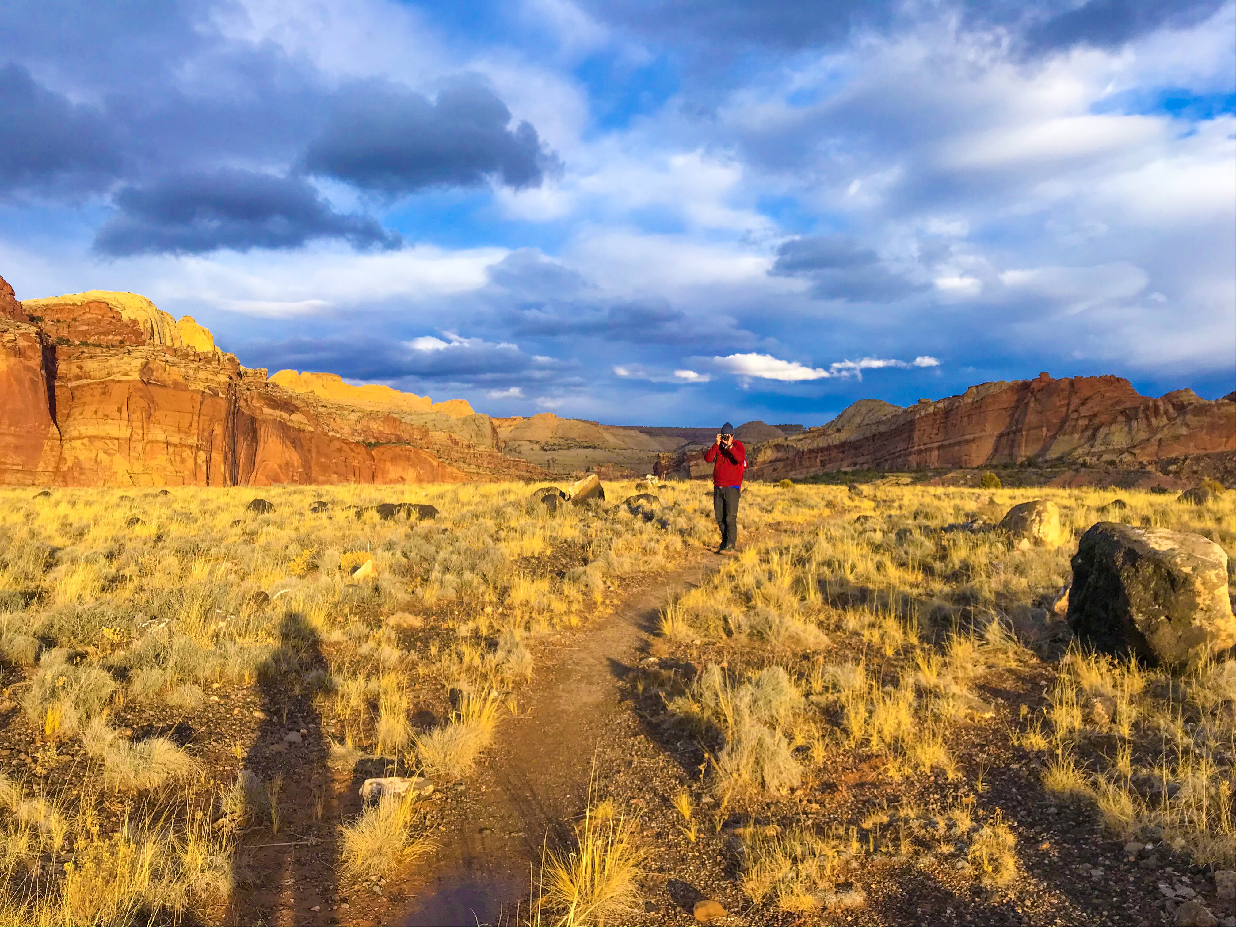
We had the most bizarre weather – sunny and warmish (for the late fall/ early winter) turned into a blizzard, shifting to rain before finally turning back to sunny and freezing. It felt like being back in New England where you dress for all of the seasons every day.
There’s no cell service in this park so get ready to be isolated. Everything in the town next door closes at 8 p.m., even the gas station – we made the mistake of first arriving at 8:05, literally.
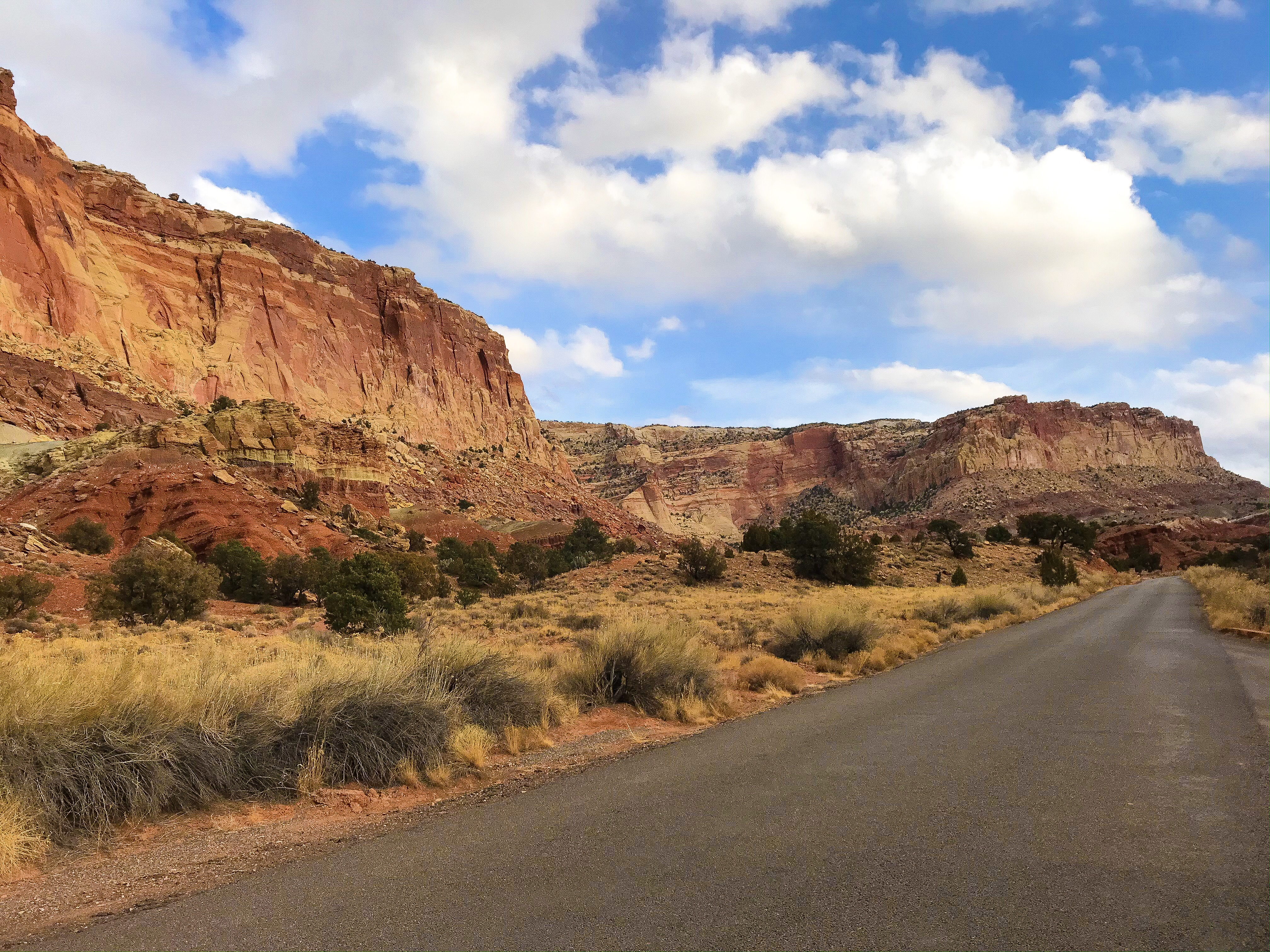
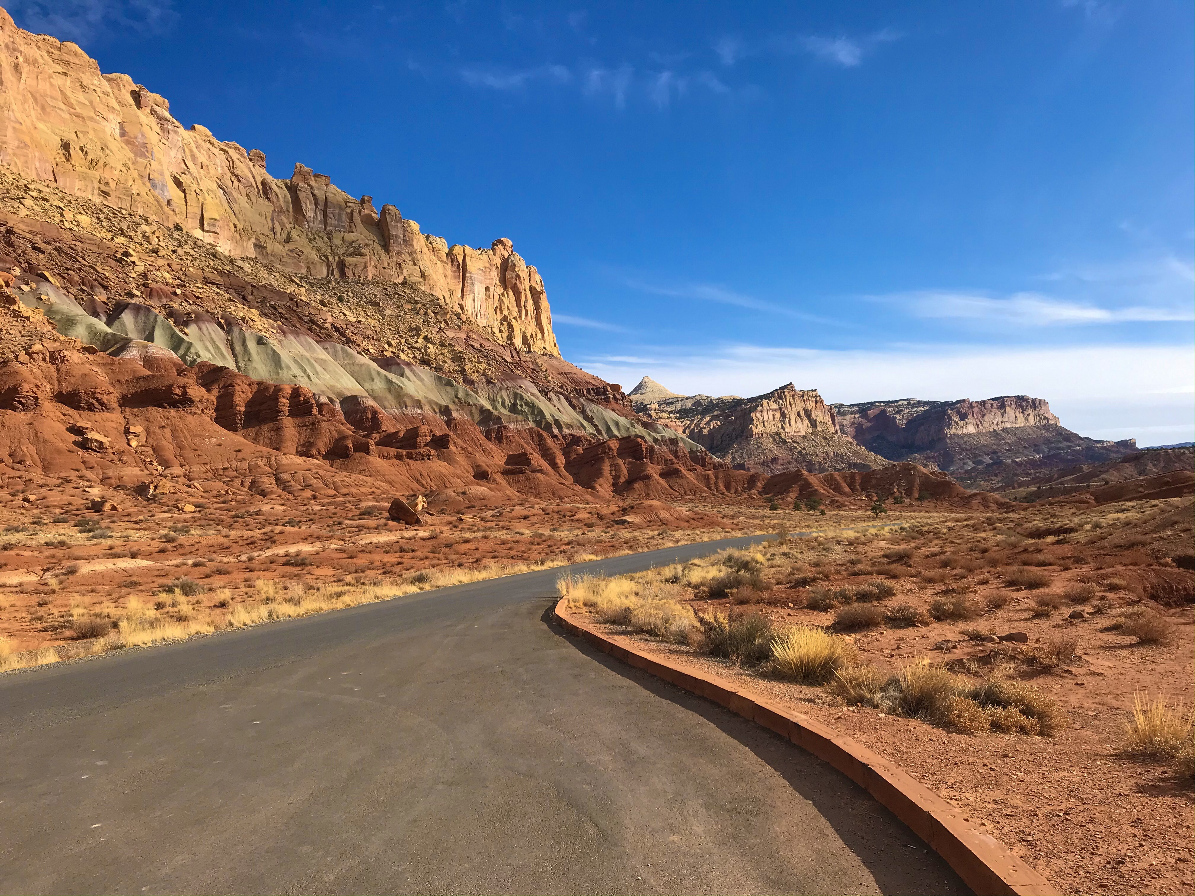
There are two main roads in Capitol Reef – Route 24 (running East to West) and the park’s Scenic Drive. During peak season, you pay $20 for access to the Scenic Drive, unless you have an America the Beautiful pass. The views are shocking, but if you’re just looking to hike, you can get away without paying as 90% of the hikes in the park are accessible outside of the Drive.
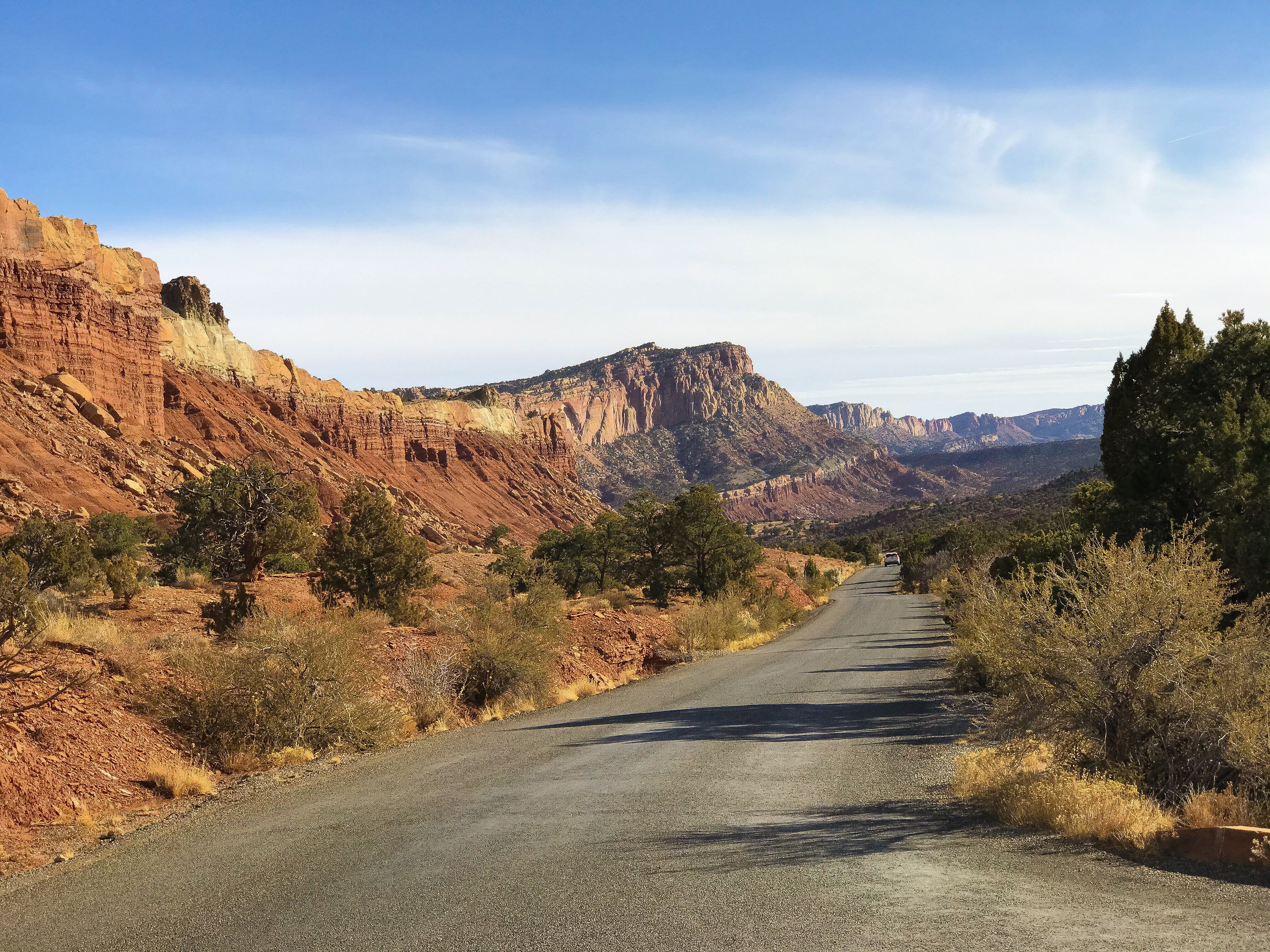
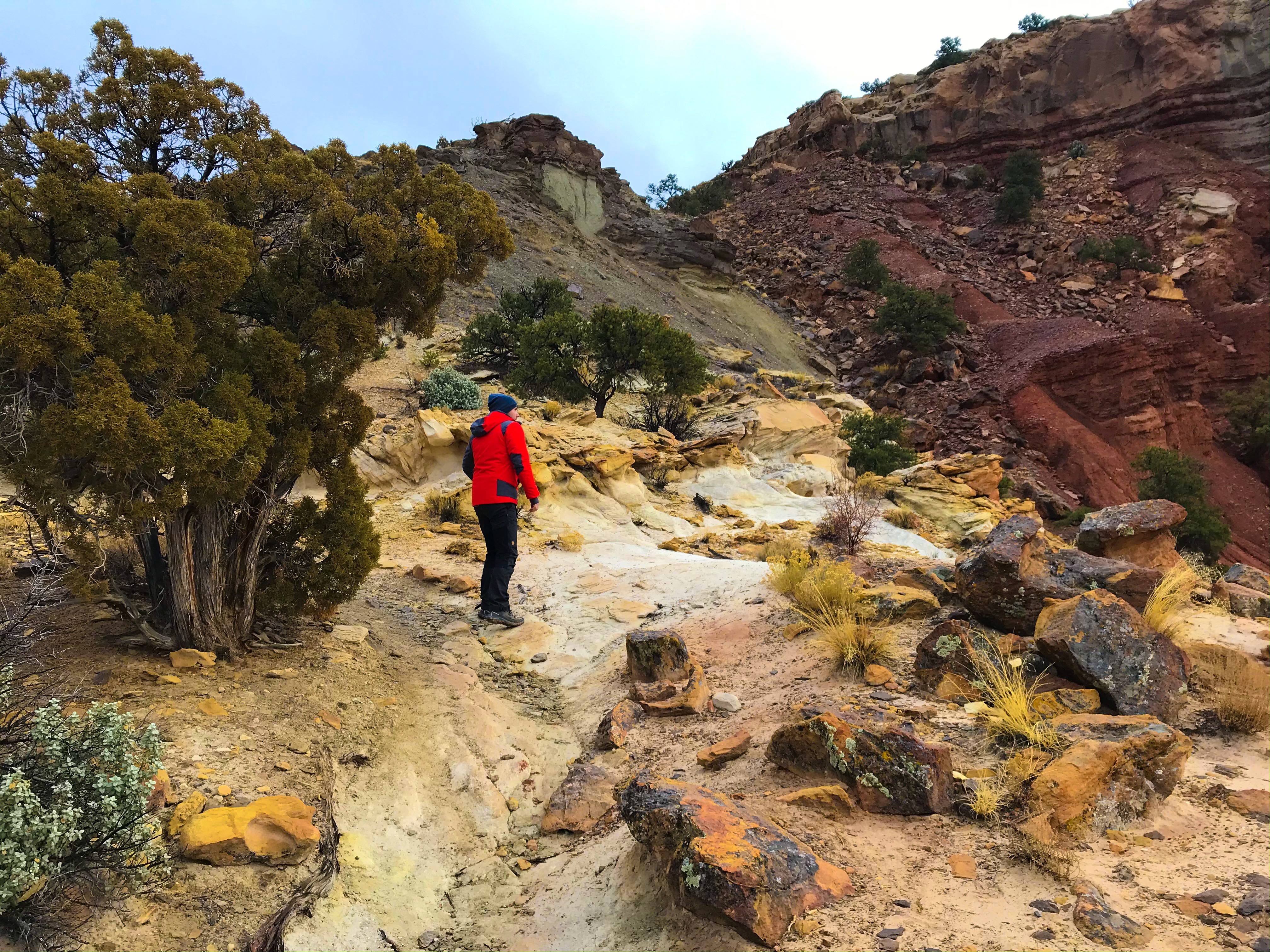
Unlike back home in New England where there’s trail signs everywhere, the trails in Capitol Reef weren’t labeled at all – there were a few cairns (piles of rocks) placed throughout the trails. Some trails were easier to follow than others, but we kept joking that if there was a lot of snow, it would’ve been near impossible to follow most of the trails.
We hiked most of the marked trails in the park – these were some of our favorites!
Day 1
- Rim Overlook Trail (2.3 miles, 1,110 ft)
Hickman Bridge (.9 miles, 400 ft)
Capitol Gorge Trail (1 mile, 80 ft)
Goosenecks (.1 mile, < 50 ft)
Sunset Point (.4 miles, < 50 ft)
- Rim Overlook Trail (2.3 miles, 1,110 ft)
Day 2
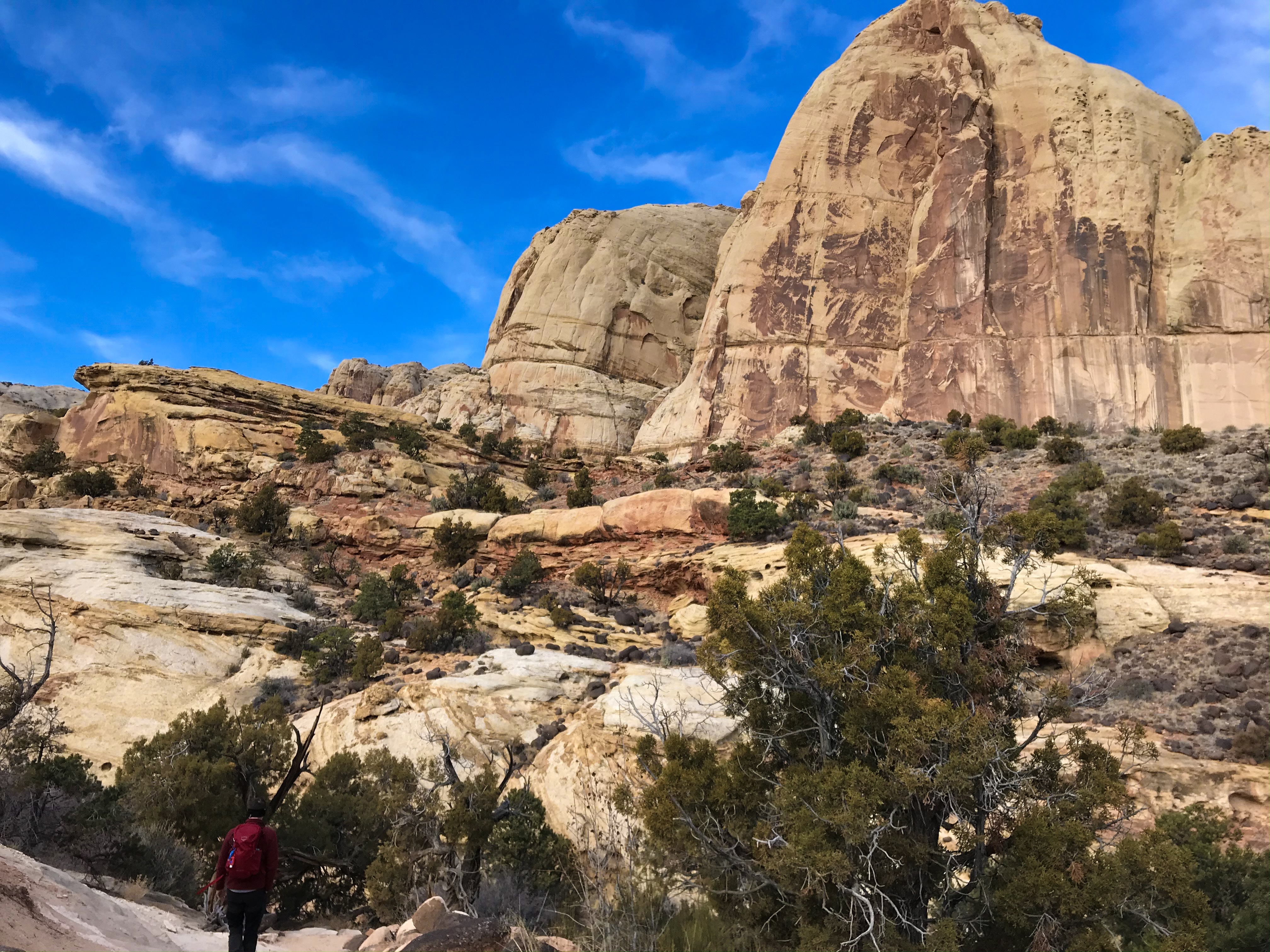
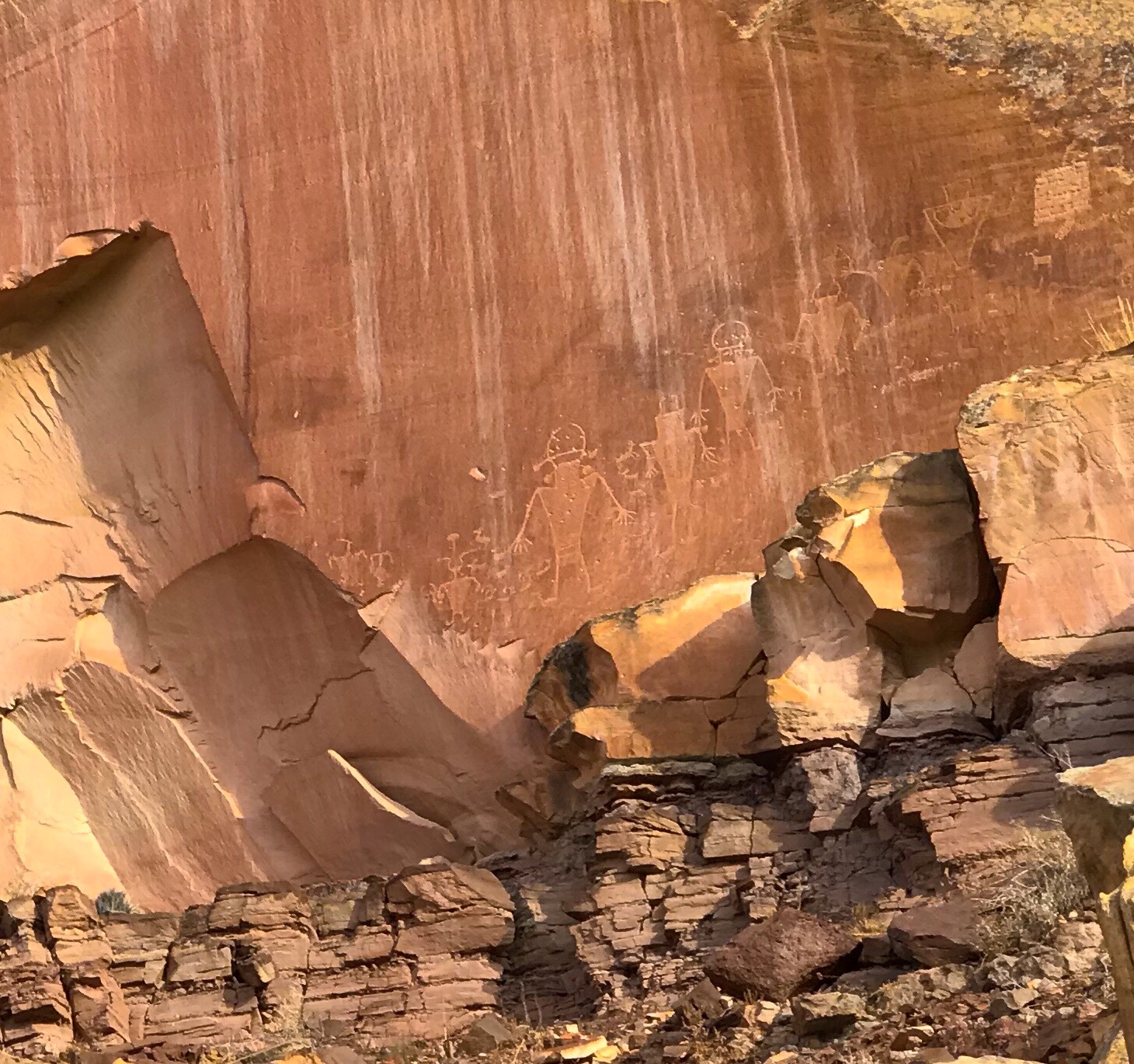
- Petroglyphs
Cohab Canyon Trail (1.7 miles, 440 ft)
Frutia Overlook (1.1 miles, 200 ft) via Cohab Canyon
Chimney Rock Loop Trail (3.6 miles, 590 ft)
- Petroglyphs
Day 3
- Goblin Valley State Park (post here)
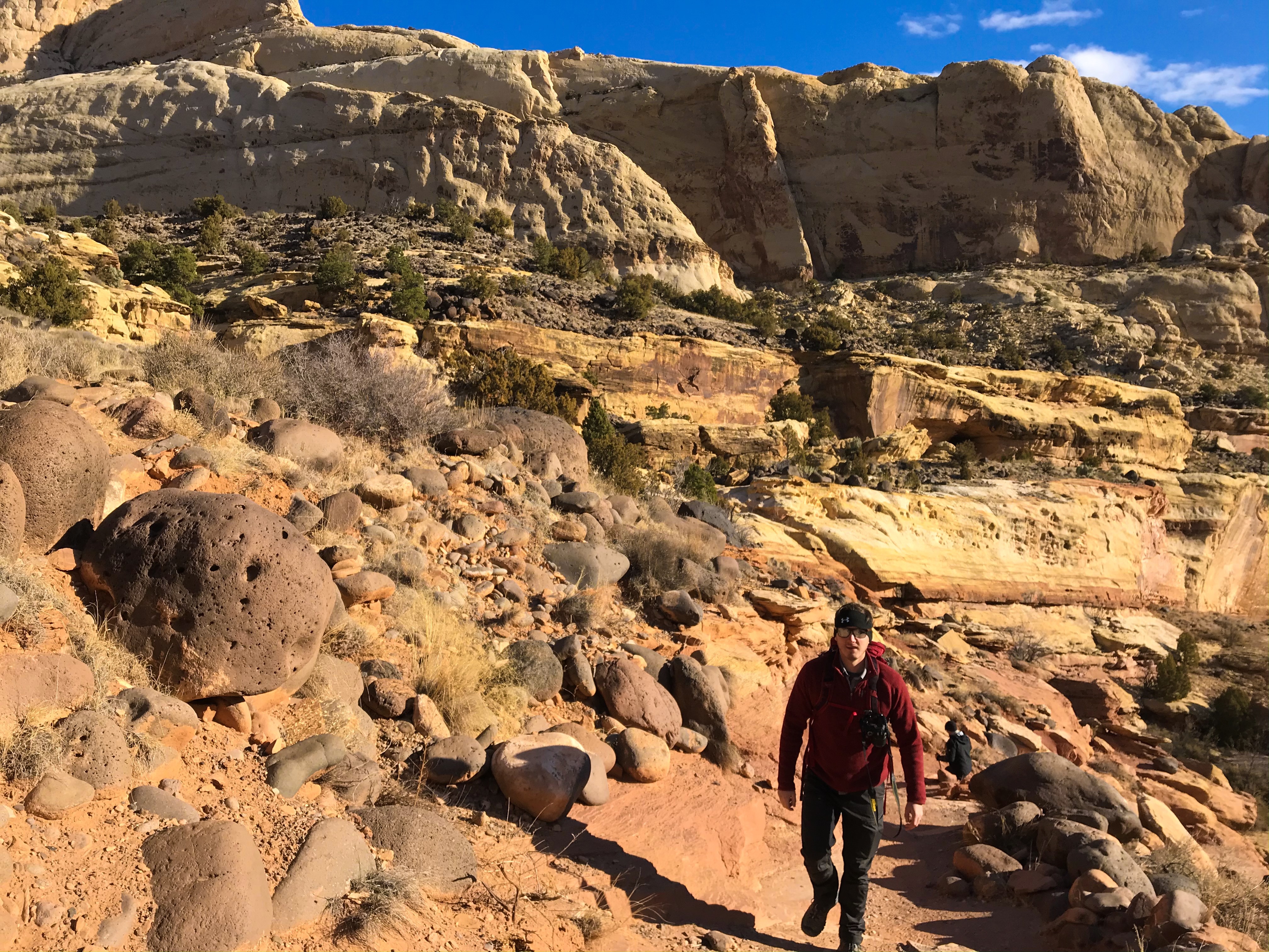
Fremont Gorge Overlook Trail (2.3 miles, 1,090 ft)
- Goblin Valley State Park (post here)
Day 4
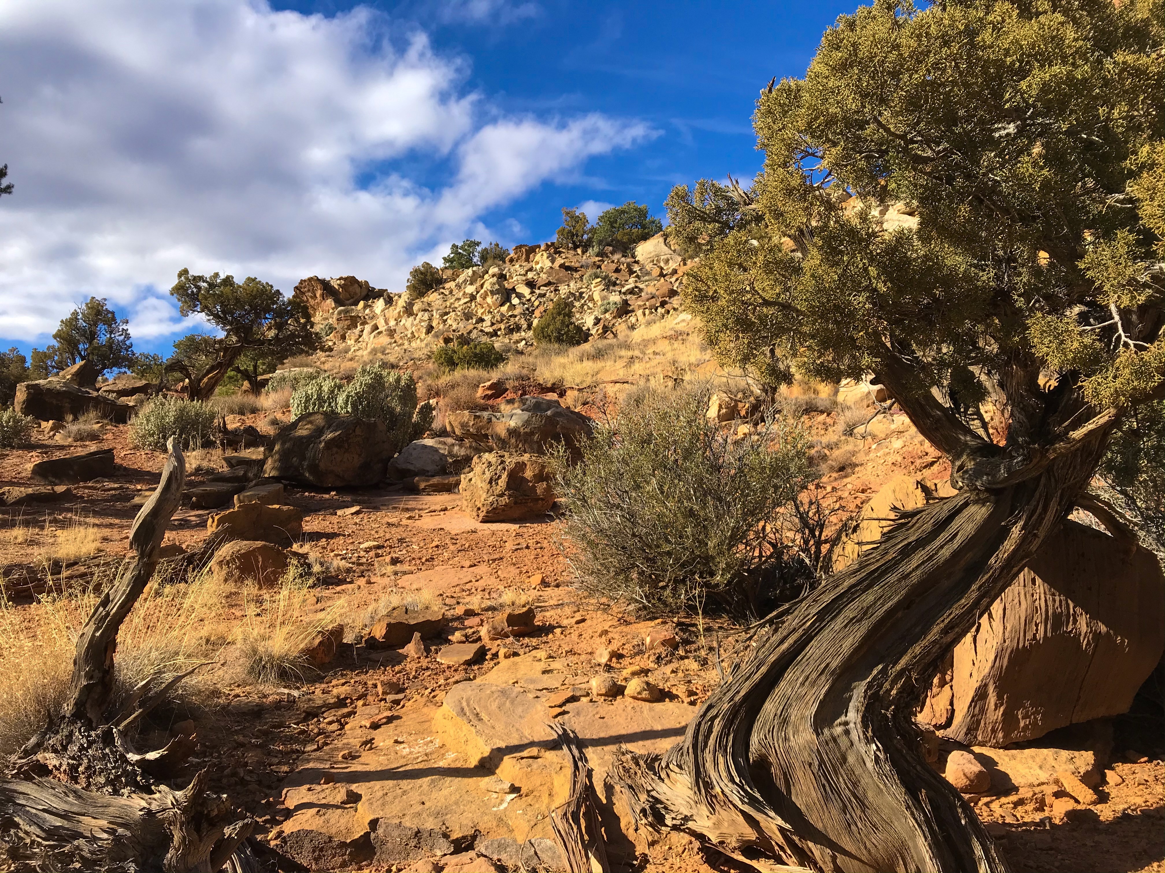
- Old Wagon Trail (3.8 miles, 1,080 ft)
Day 1
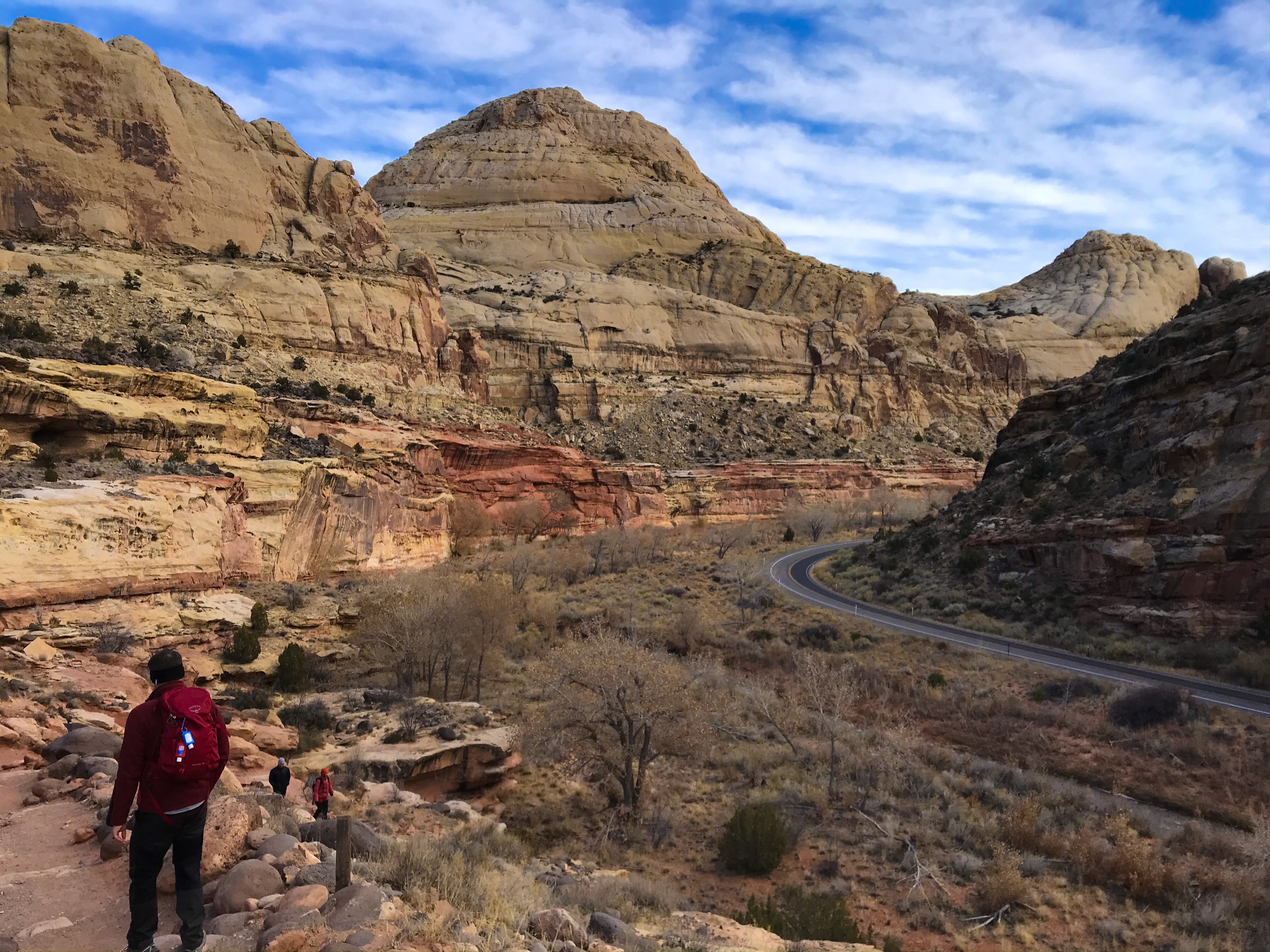
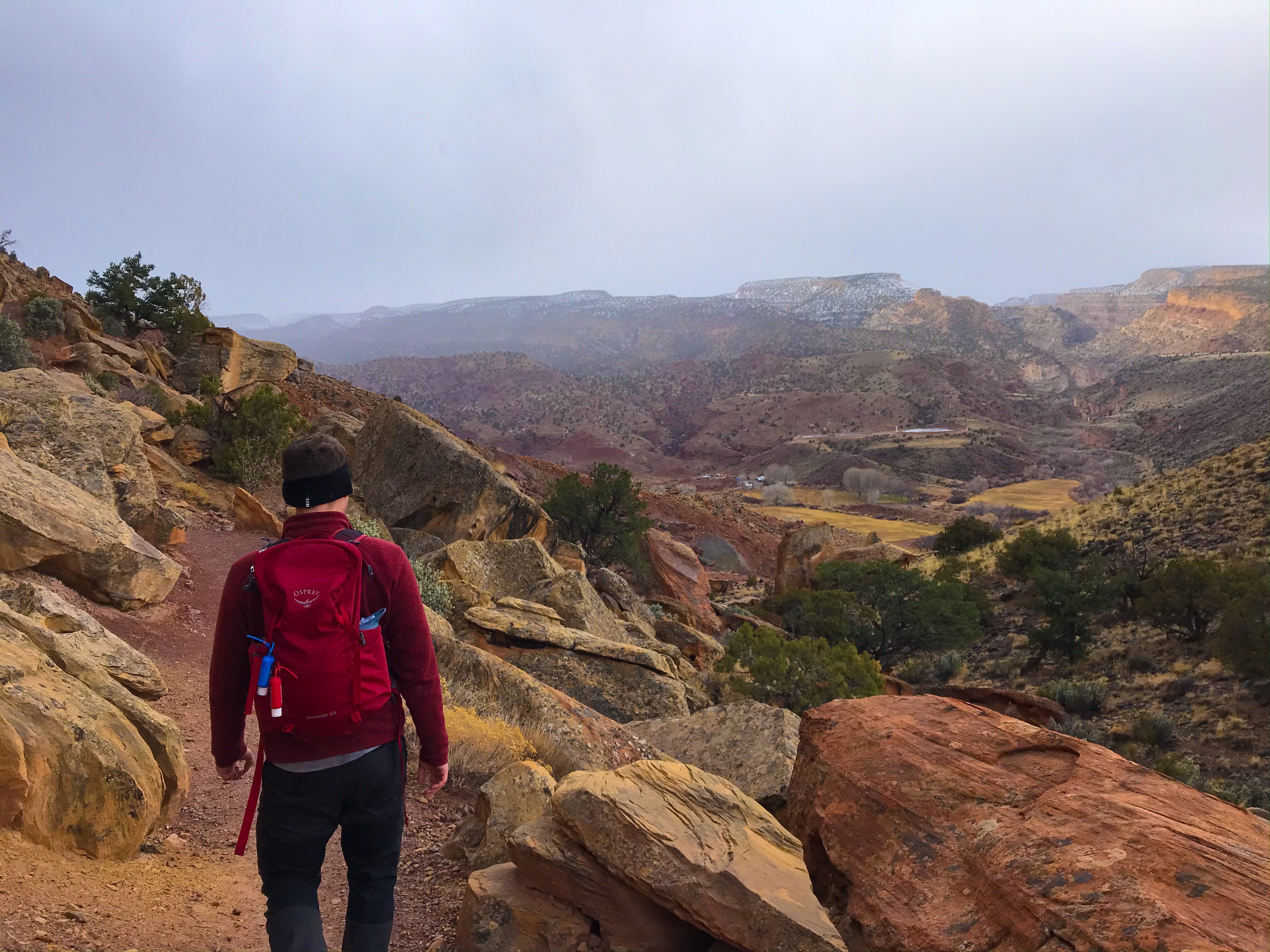
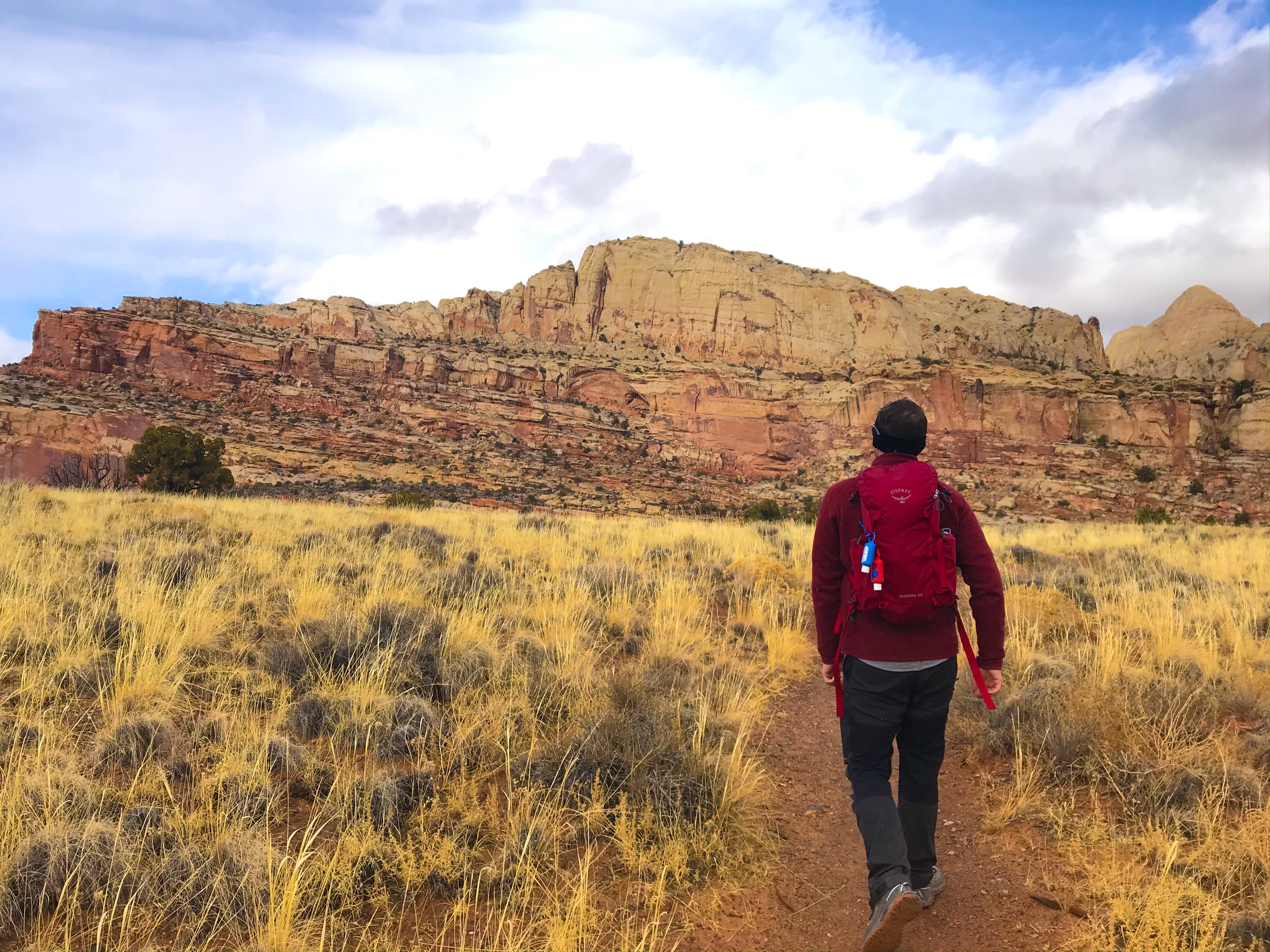
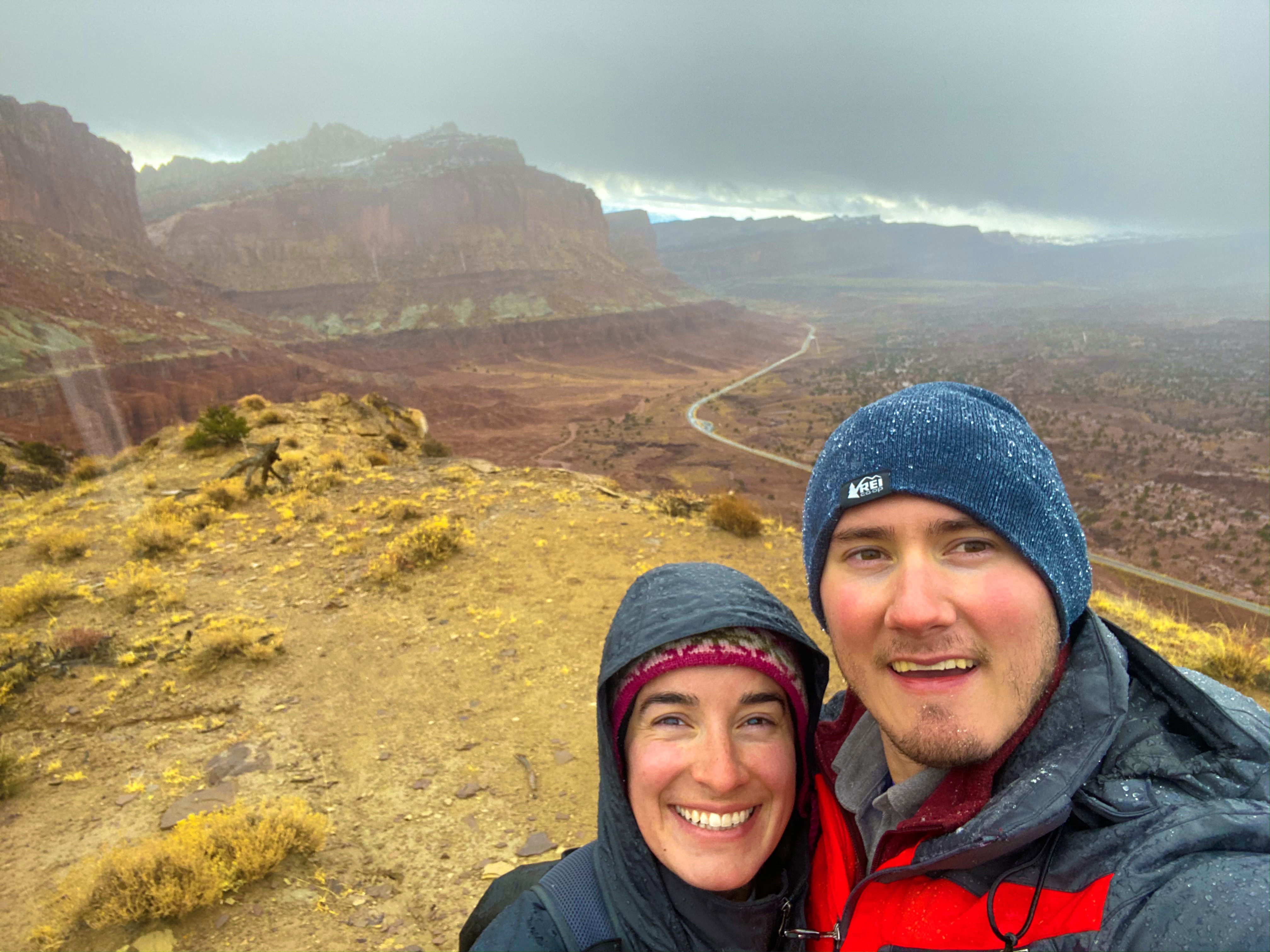
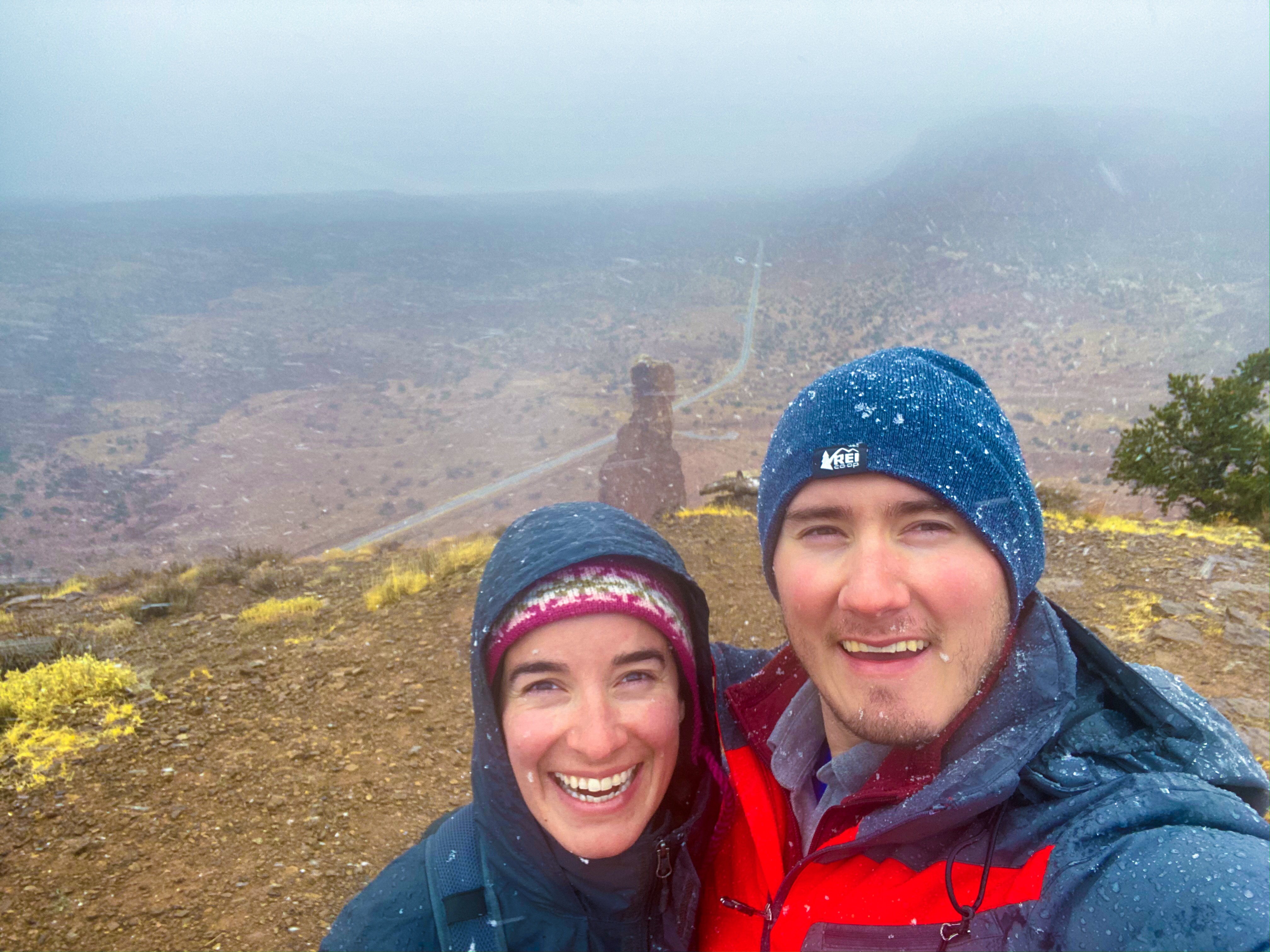
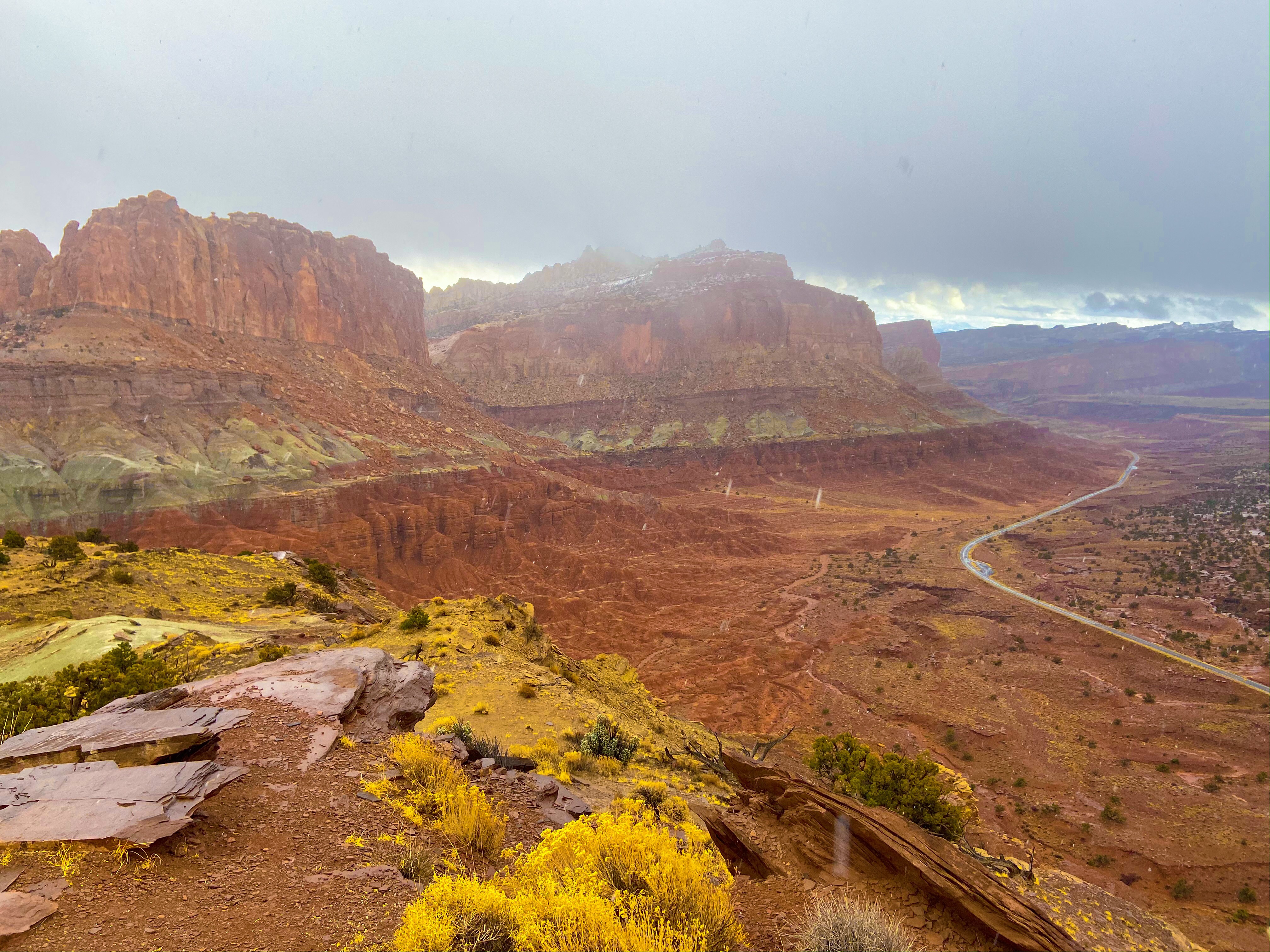
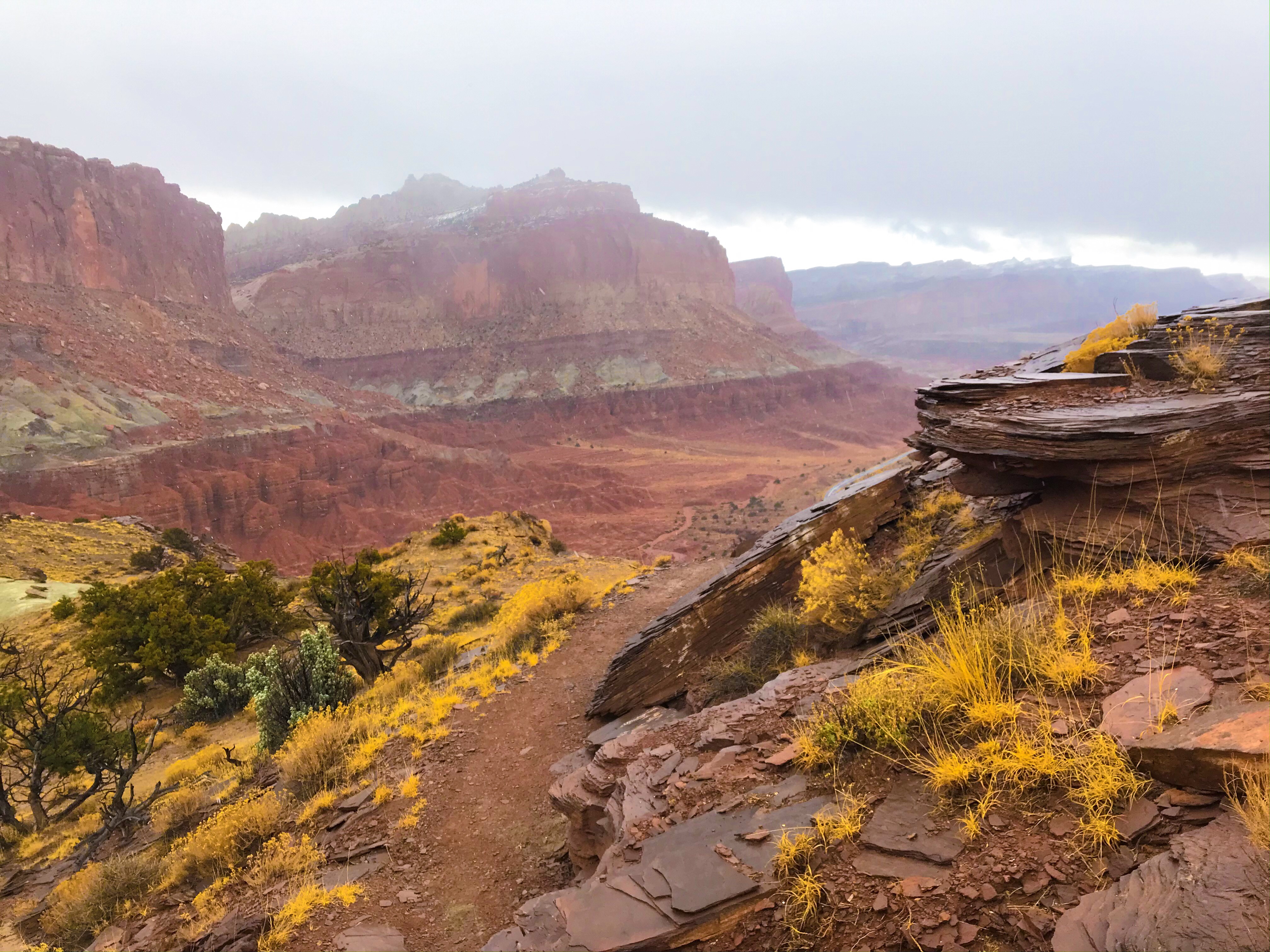
Rim Overlook Trail
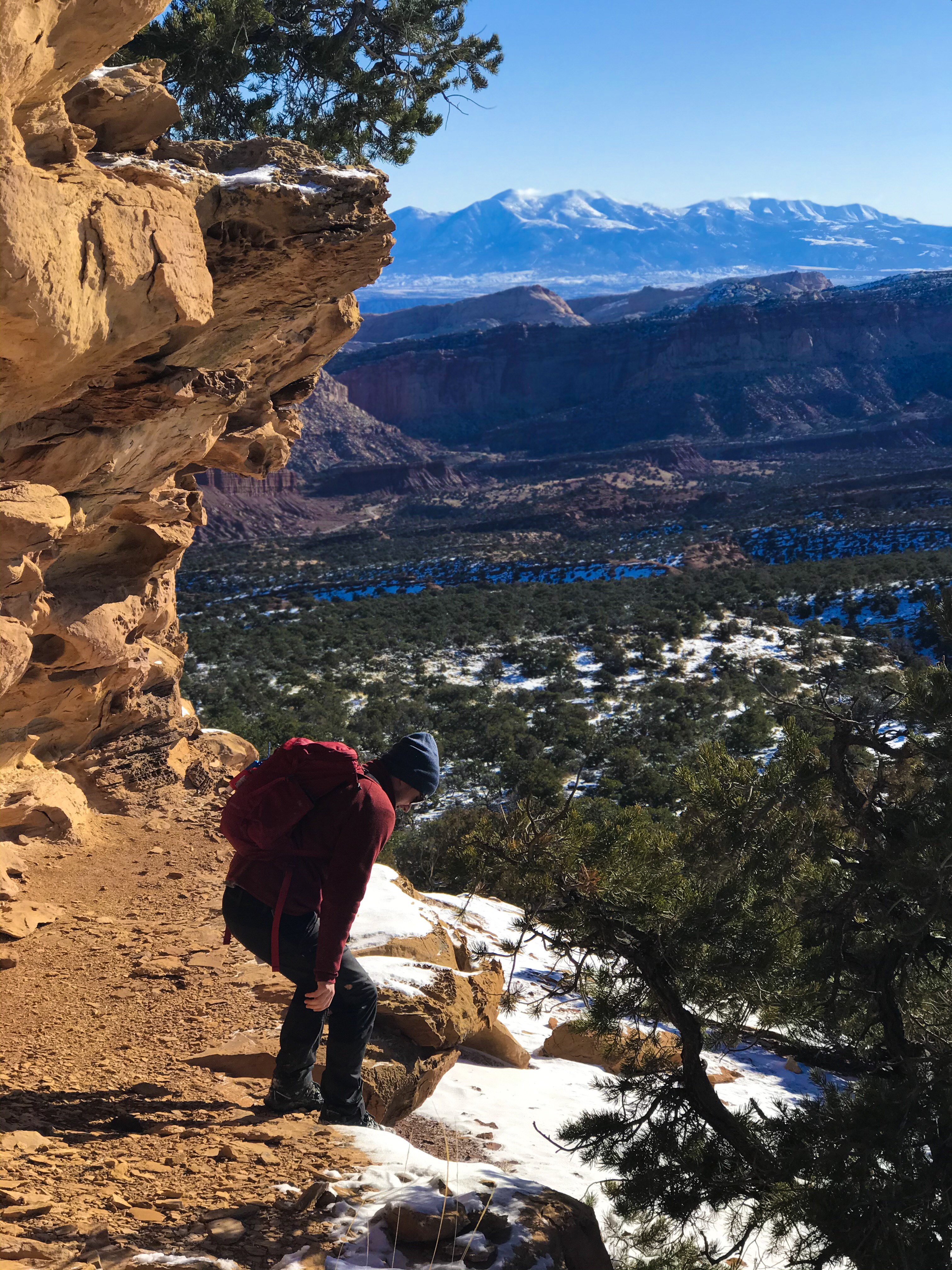
After parking in a lot with a restroom (aka a porta-potty that surprisingly didn’t make me gag), we made our way up the Rim Overlook Trail, which is about half of the Navajo Knobs Trail.

One of the things I’ve noticed about hiking in Utah is that you’re very often exposed to the elements with no shade or protection from trees. If the trails had been covered in snow, we honestly would’ve been screwed. It may have been cold, but at least we could figure out where to go next, even if we had to stop for a minute to search.
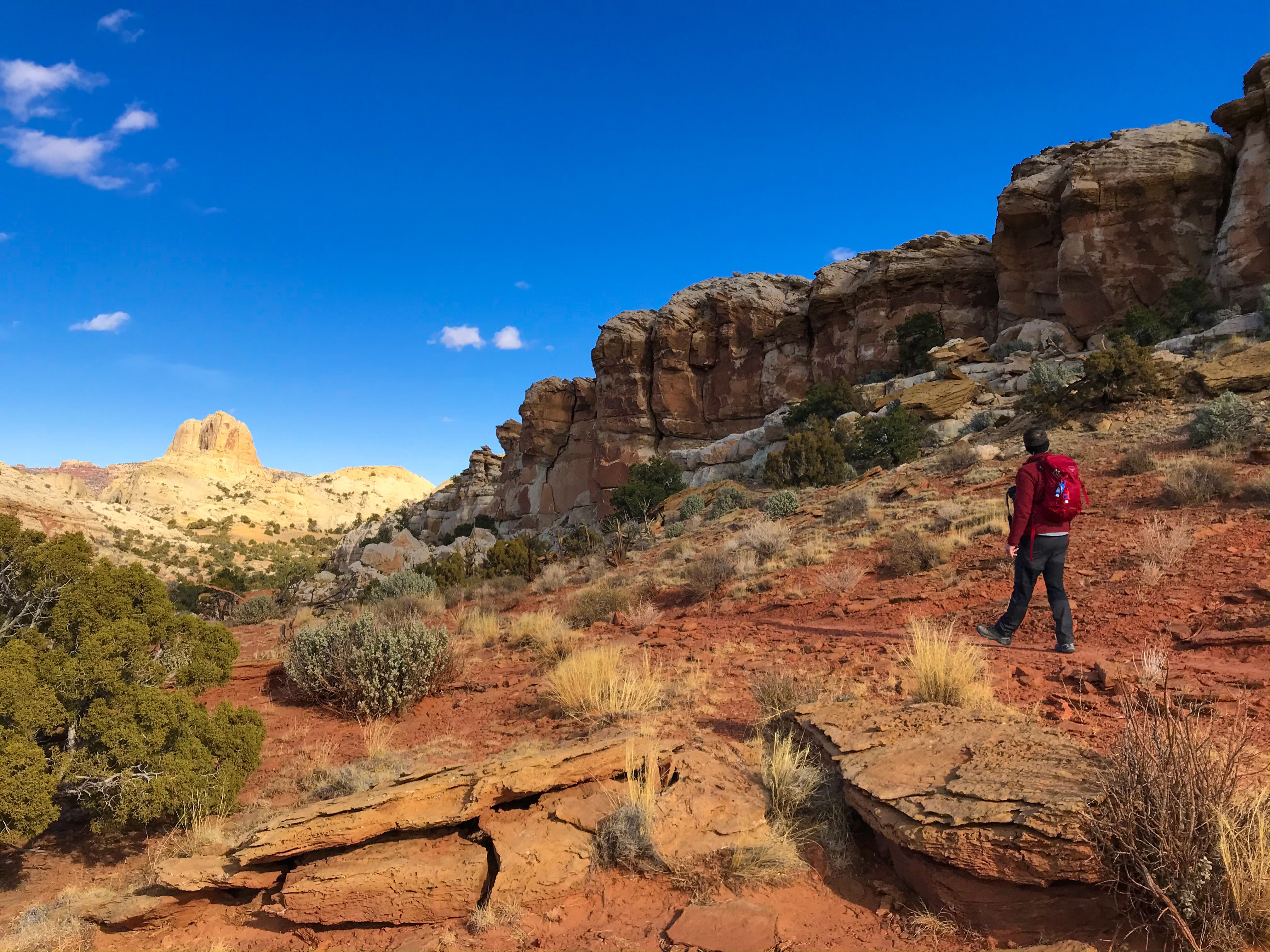
It was windy and cold on this hike – thank god we wore a lot of layers. There weren’t any steep climbs on this trail, but it was hard to follow where the trail actually was due to the lack of cairns.

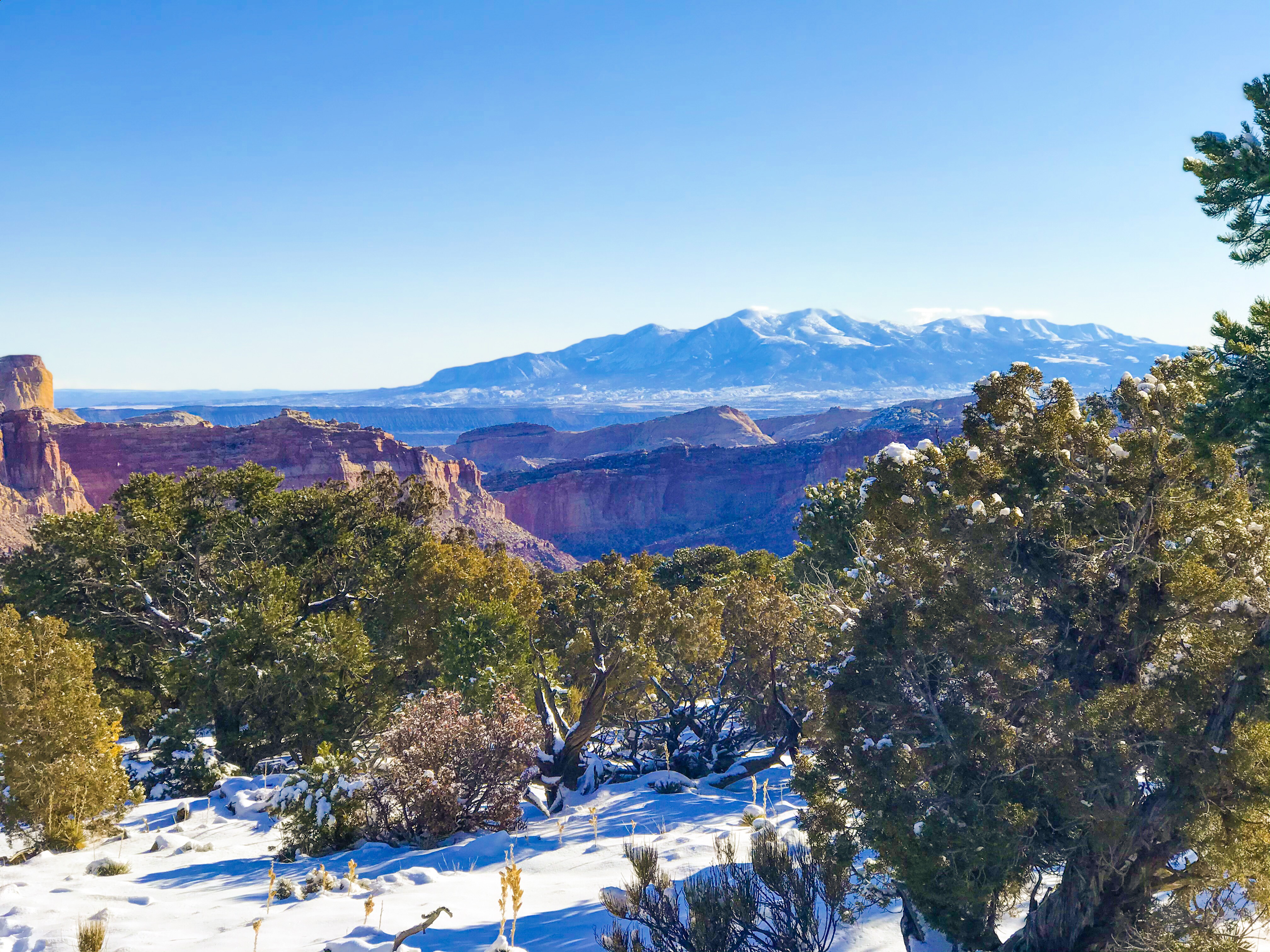
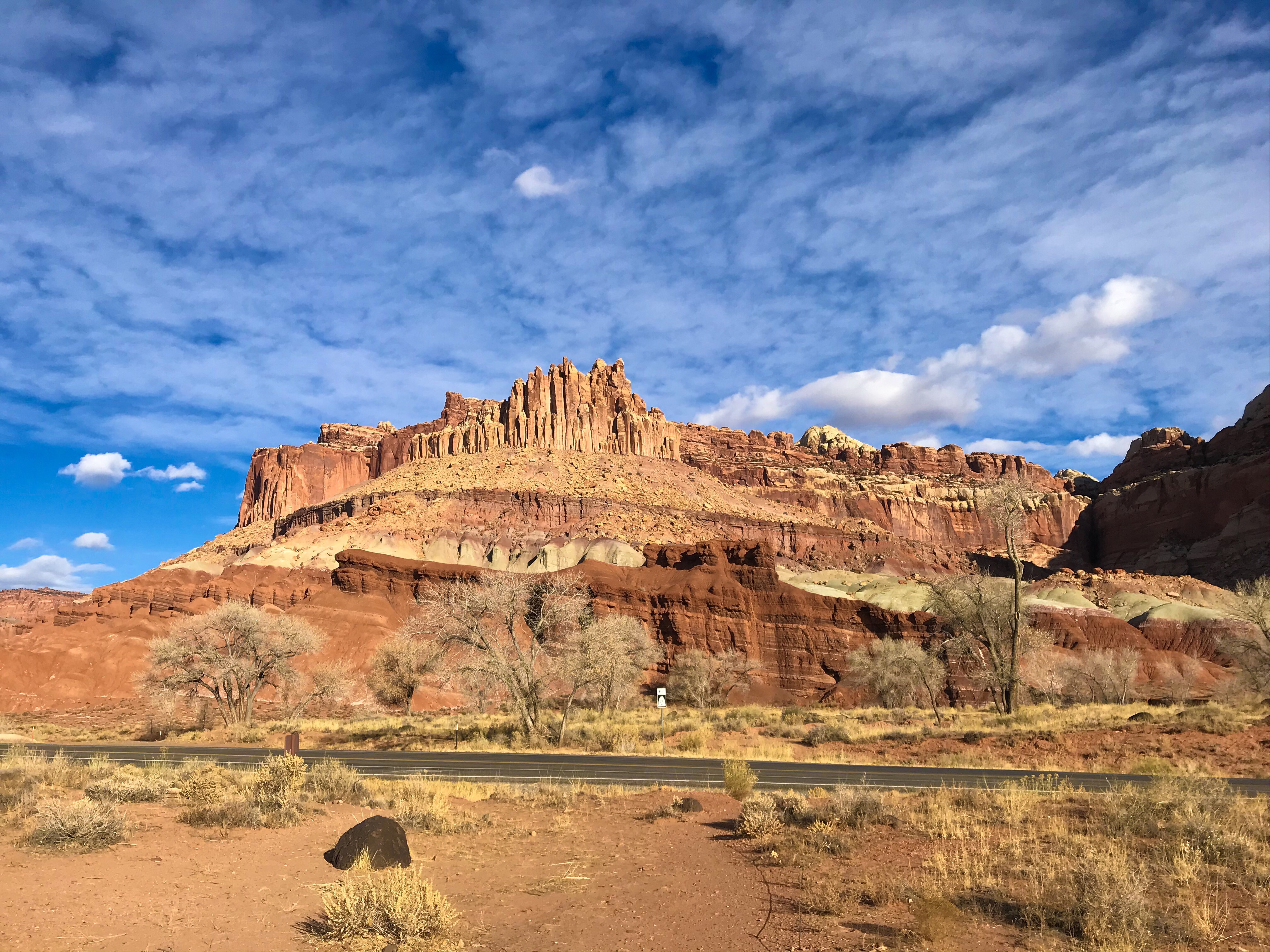
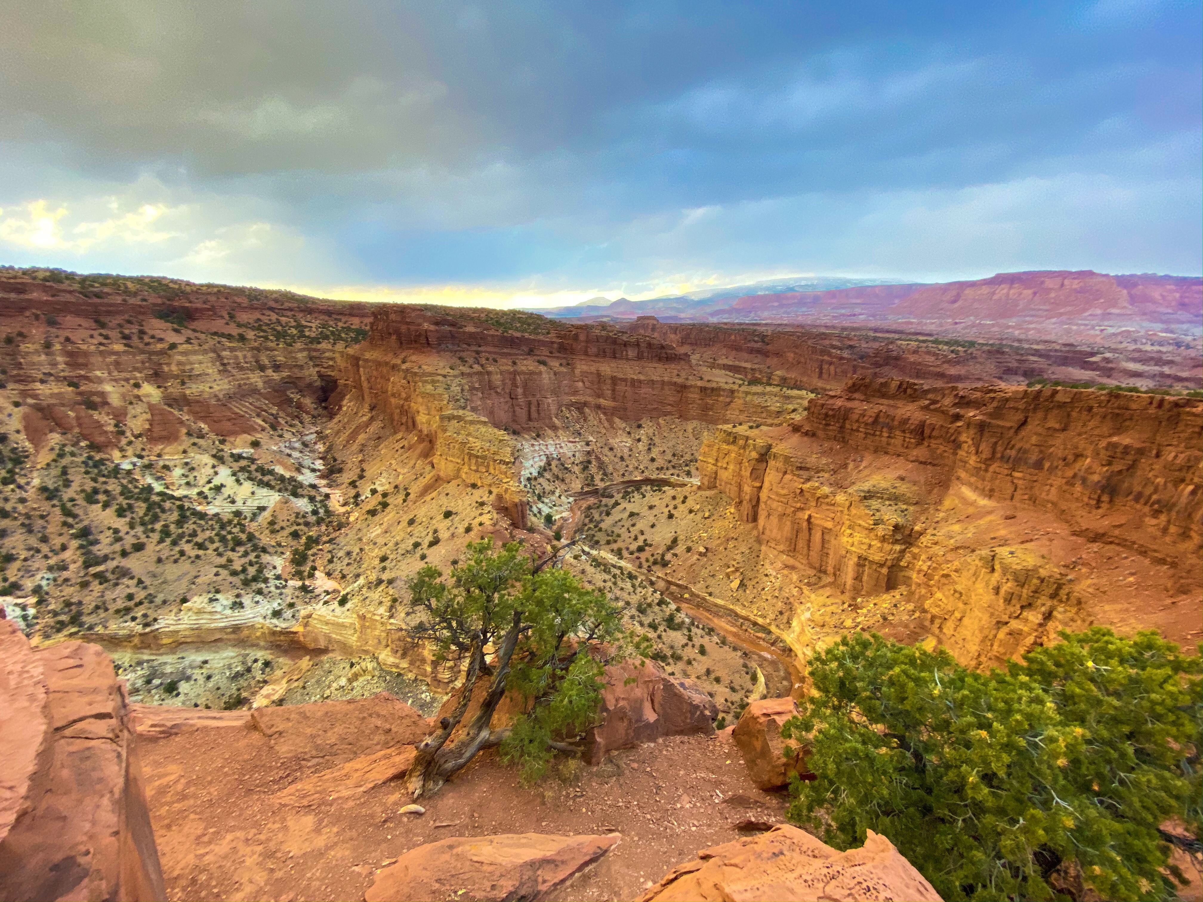
A quarter of the way, you see Capitol Dome in all it’s glory, and then about half way up the trail, you get side view of Hickman Bridge, finally ending at the Rim Overlook (both marked with a sign).
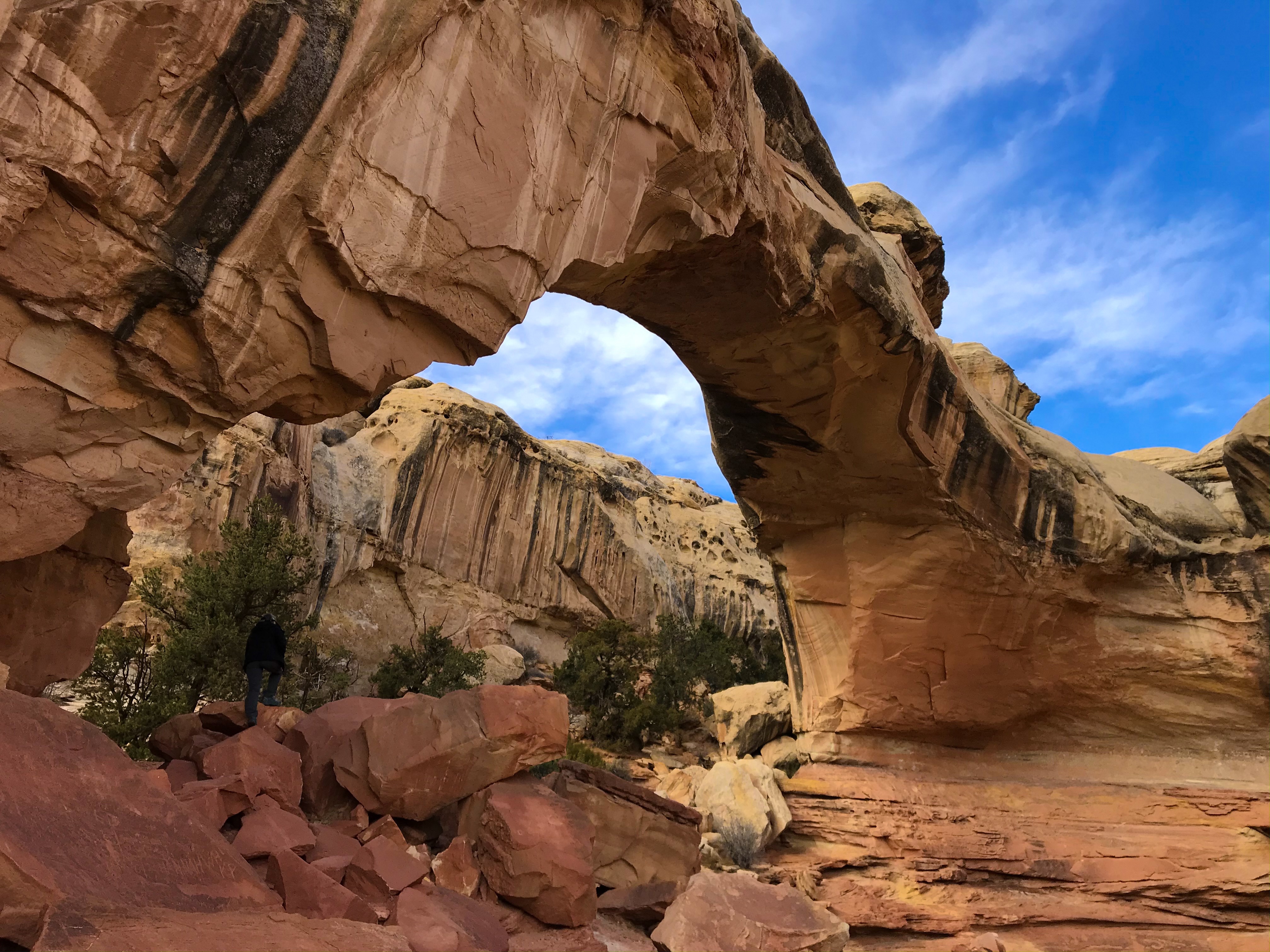
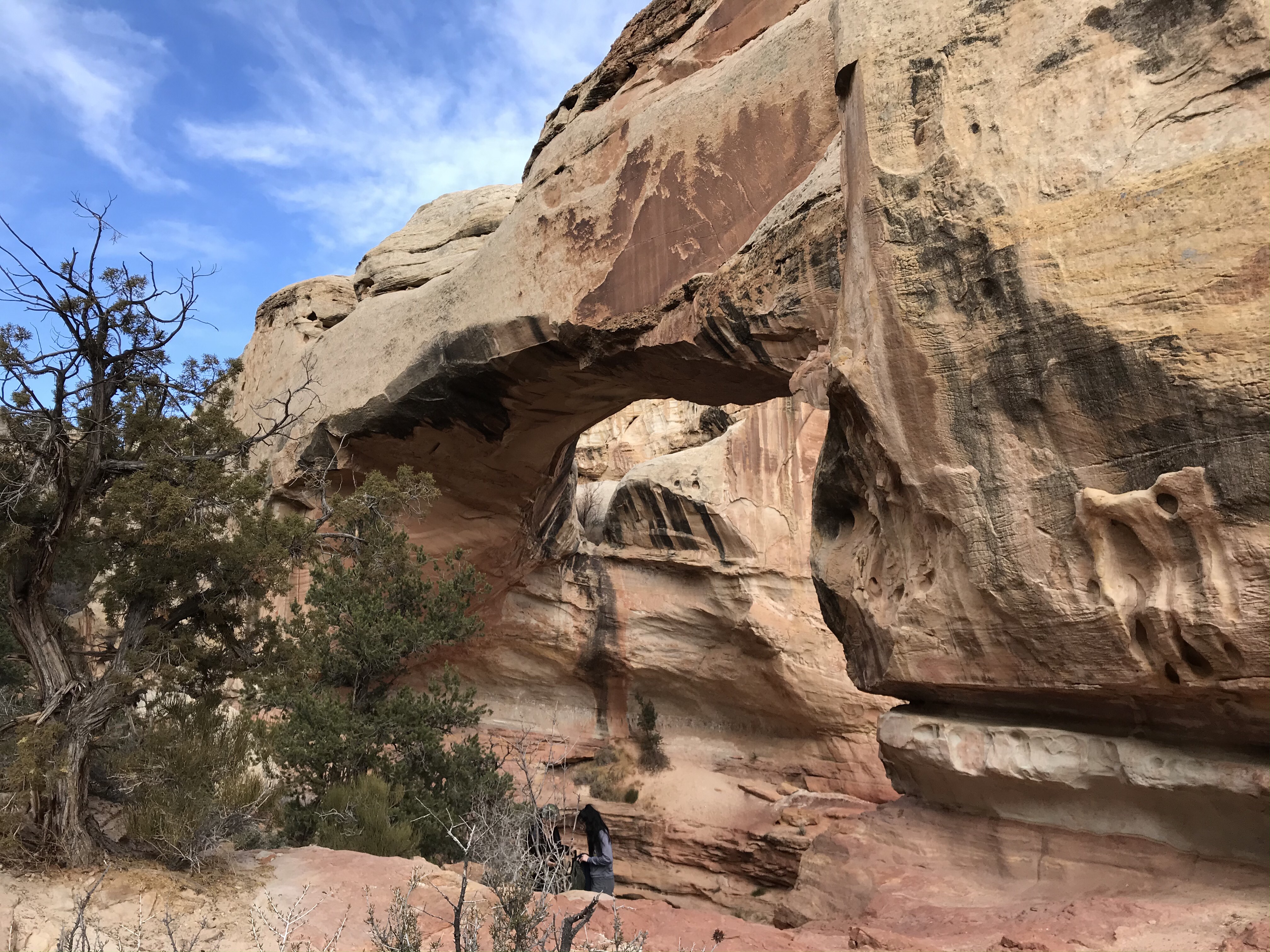
Hickman Bridge
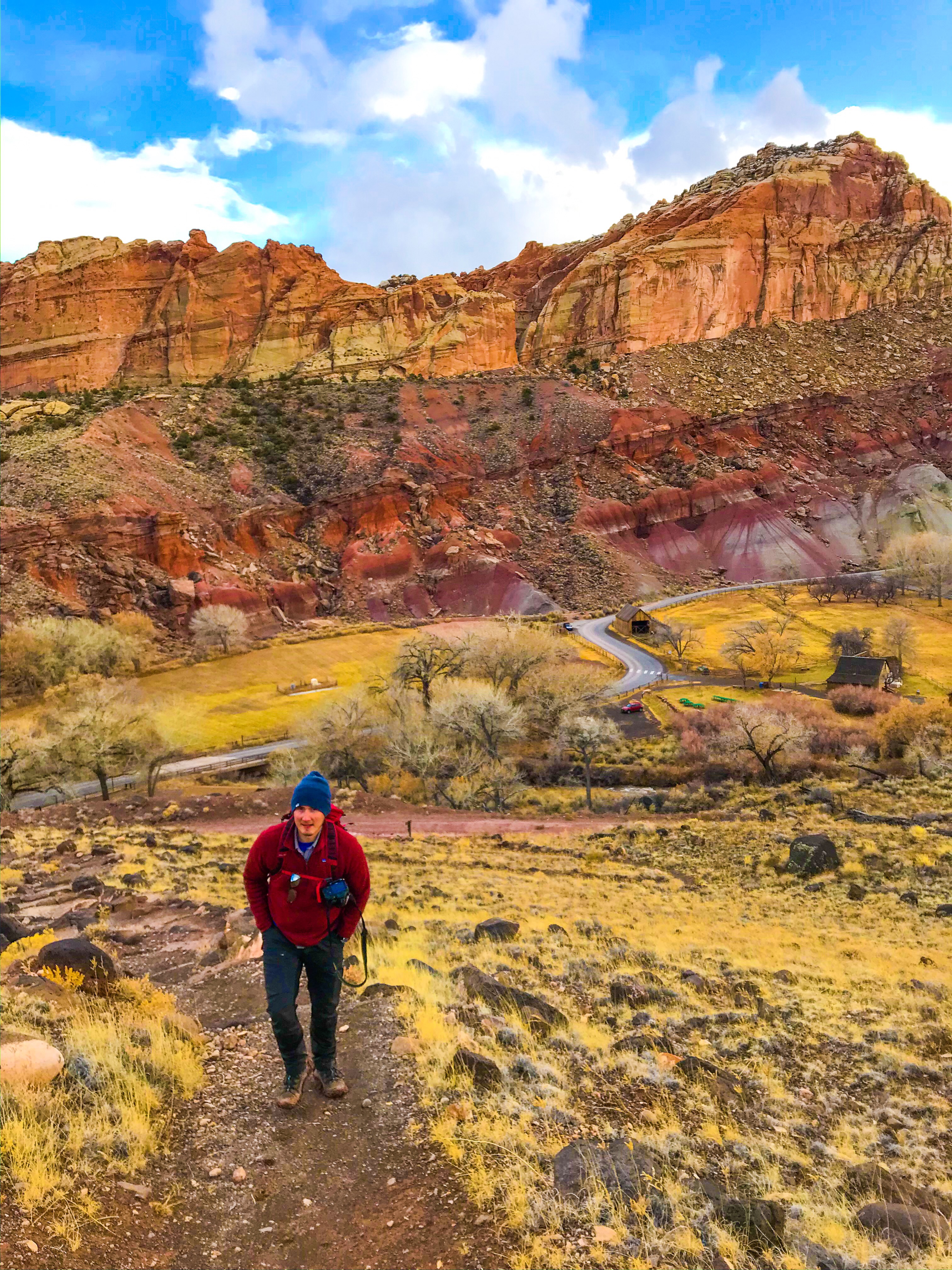
about 3/4 of the way back down the Rim Overlook/Navajo Trail , we came to the divide in the trail that branched off to Hickman Bridge – it was an easy hike (.9 miles, 400 ft elevation gain) to the bridge.
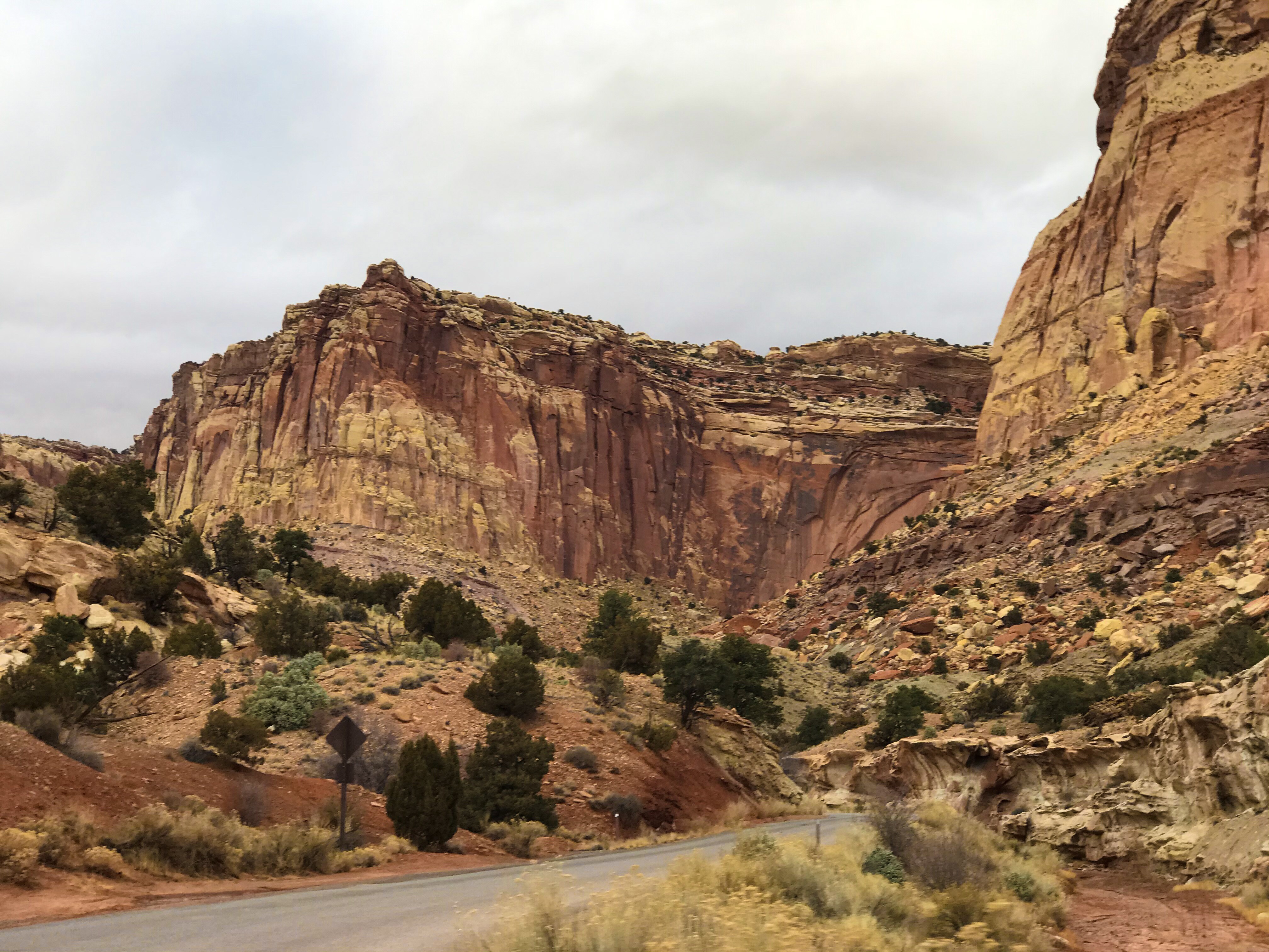
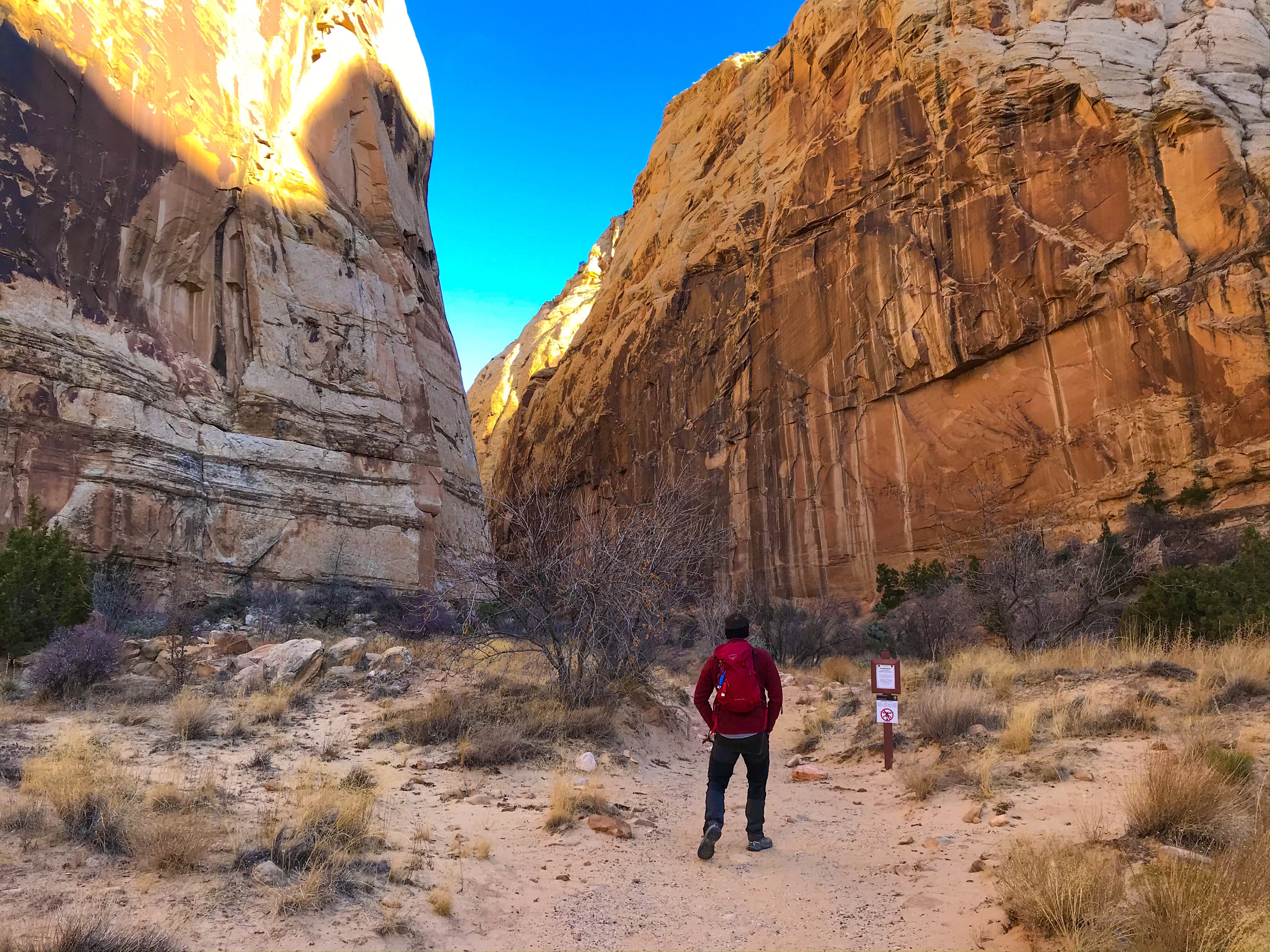
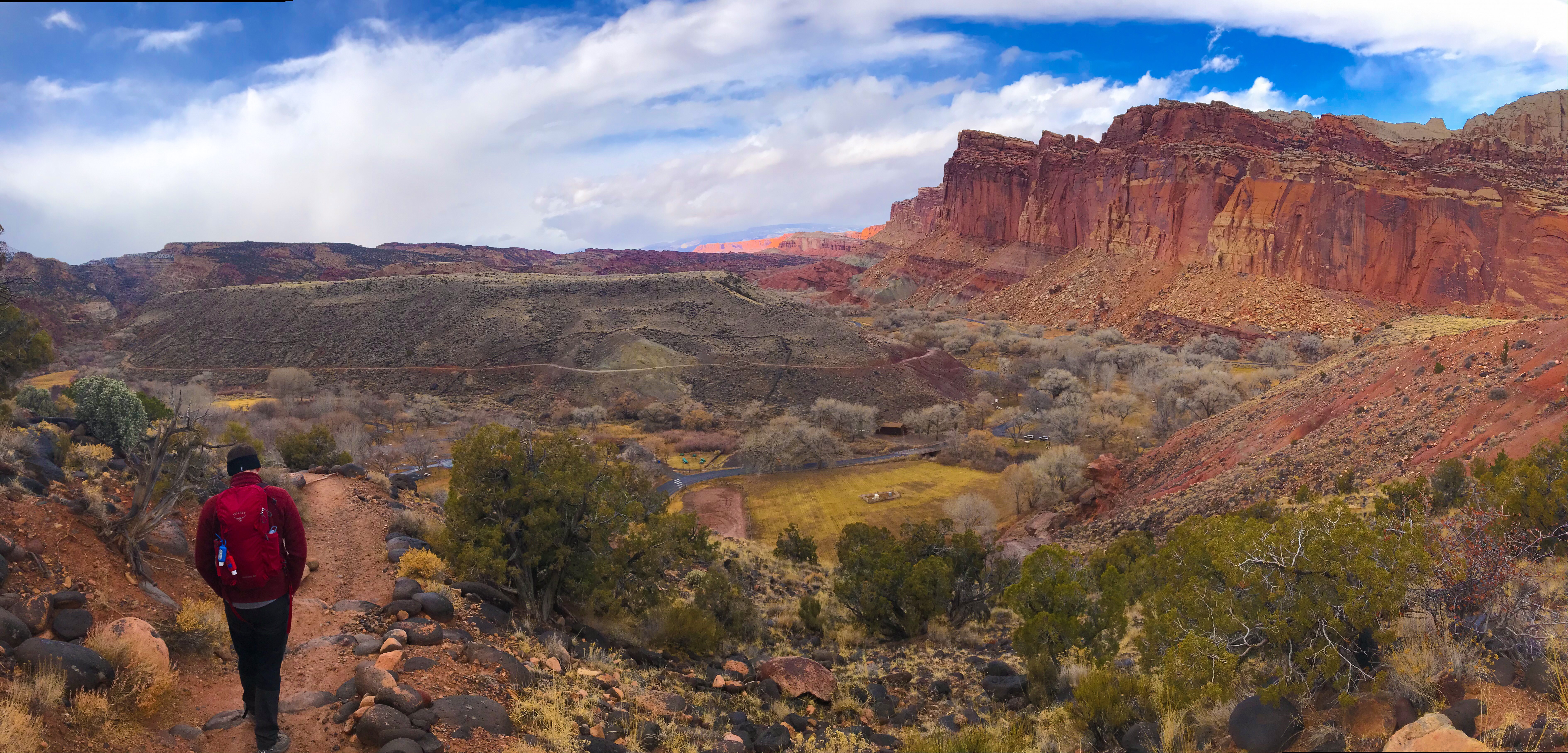
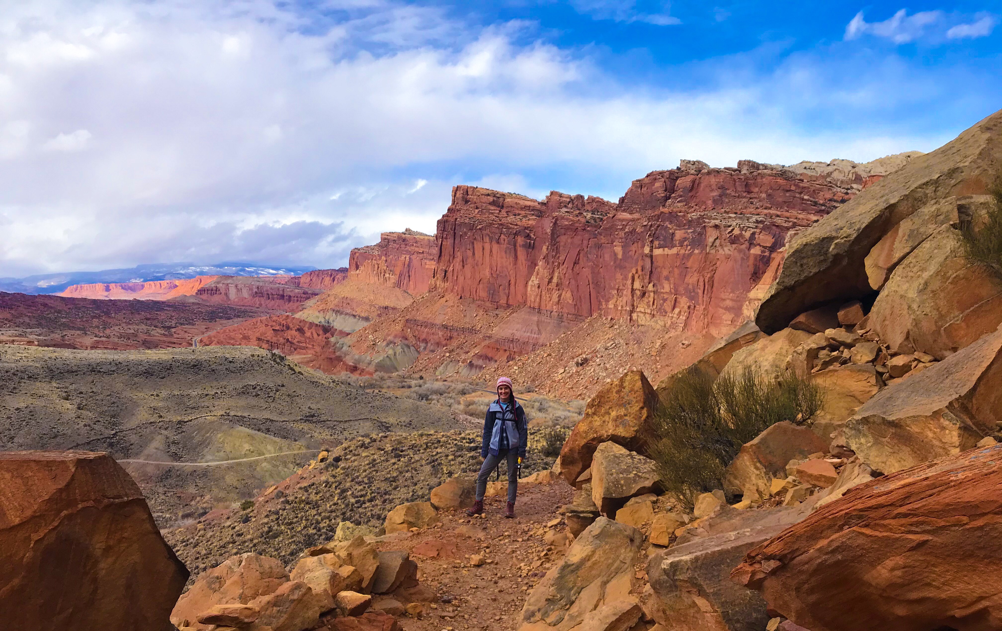
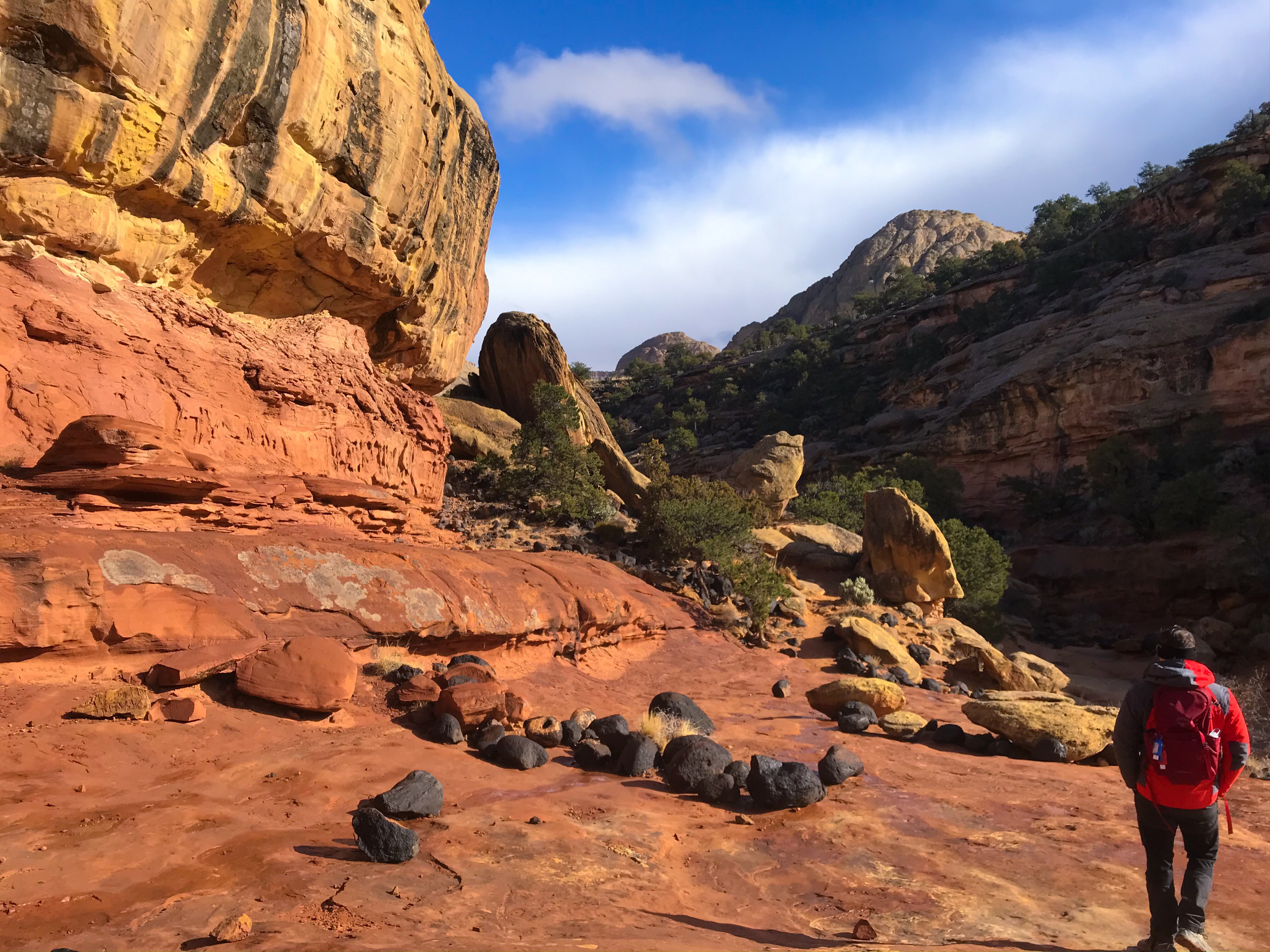
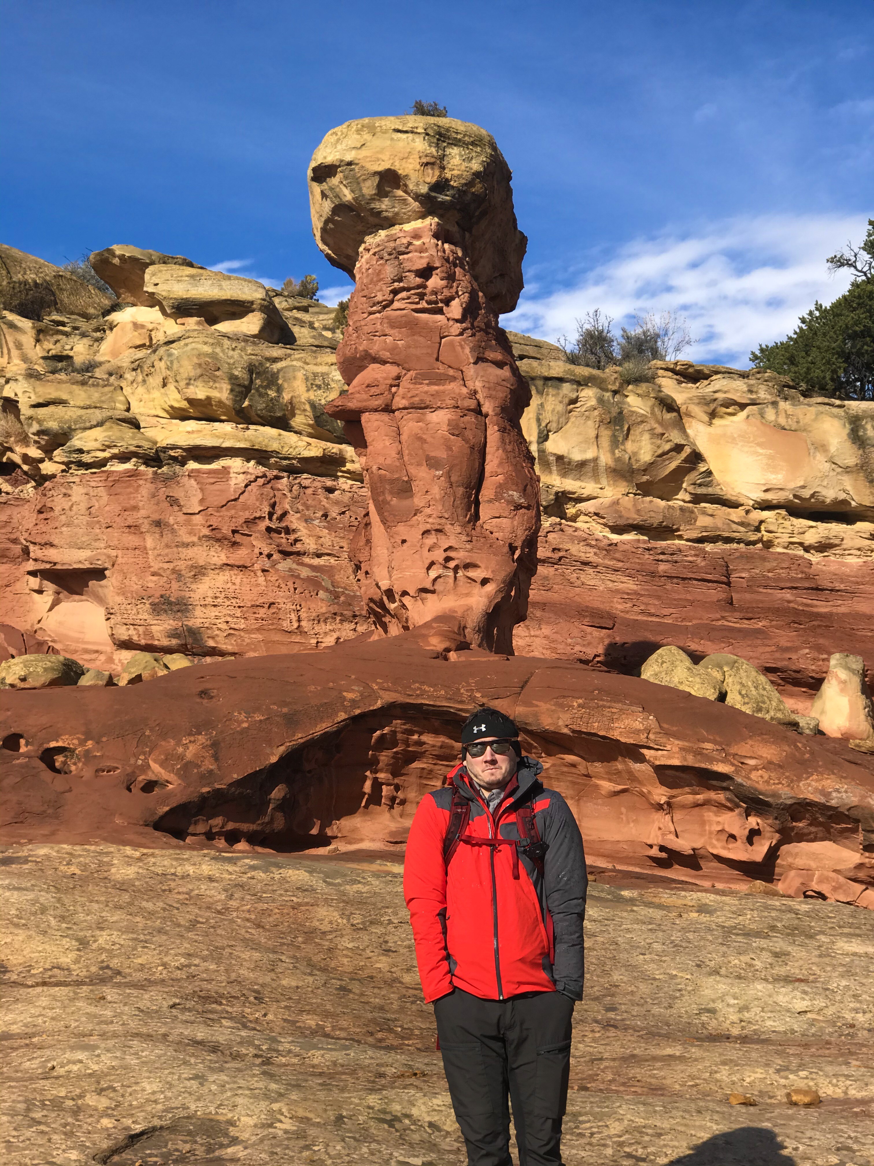
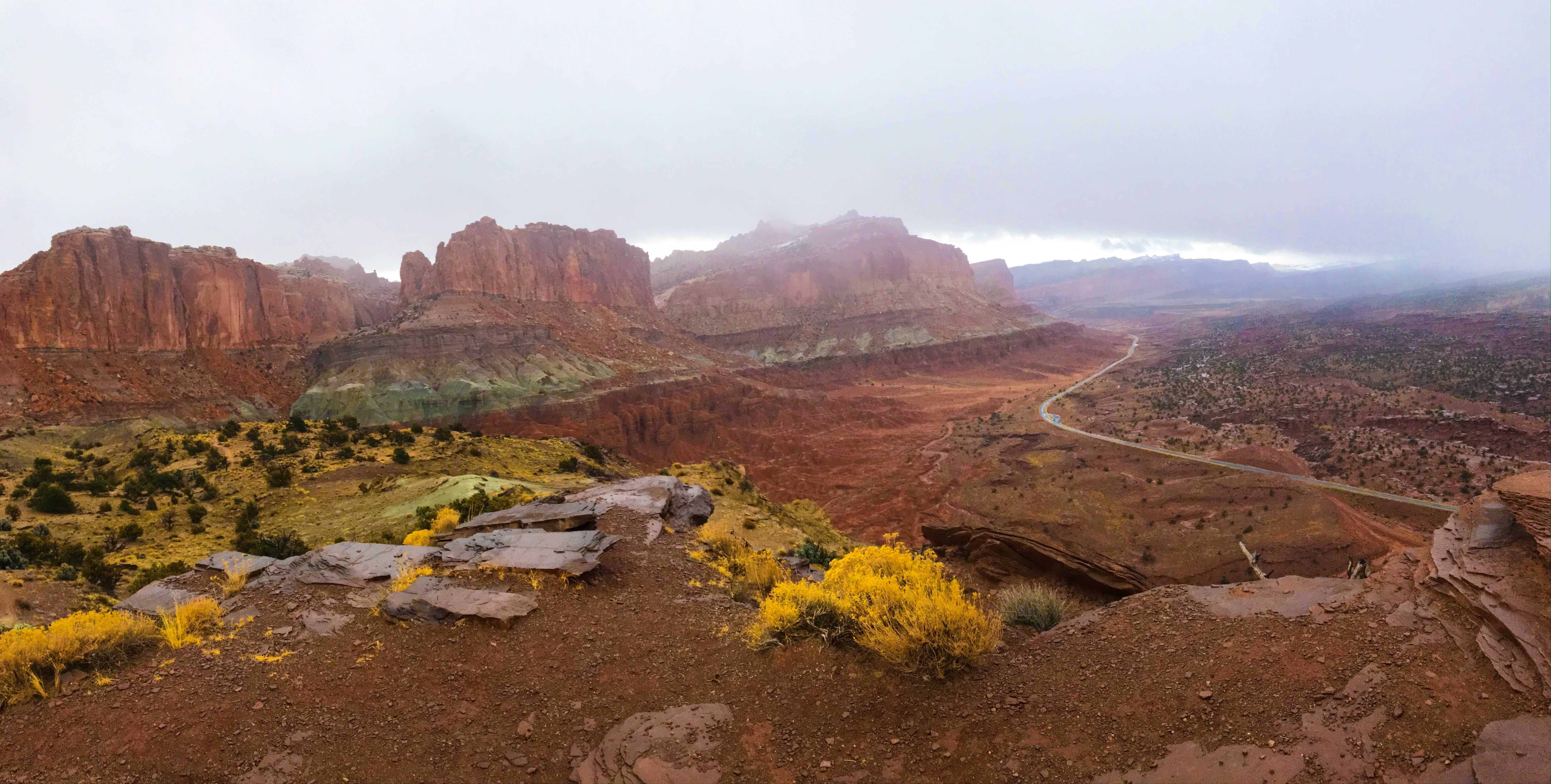
Capitol Gorge
In my usual, “WE HAVE TO SEE EVERYTHING” excitement when we get somewhere new, we drove down the Scenic Drive

Goosenecks & Sunset Point
We were supposed to head back to our hotel, the Broken Spur Inn & Steakhouse, after Capitol Gorge, but then I found that Goosenecks and Sunset Point were great for sunset photos… suffice it to say the Manfriend humored me! They really weren’t hikes, but each had beautiful views over canyons and the park!
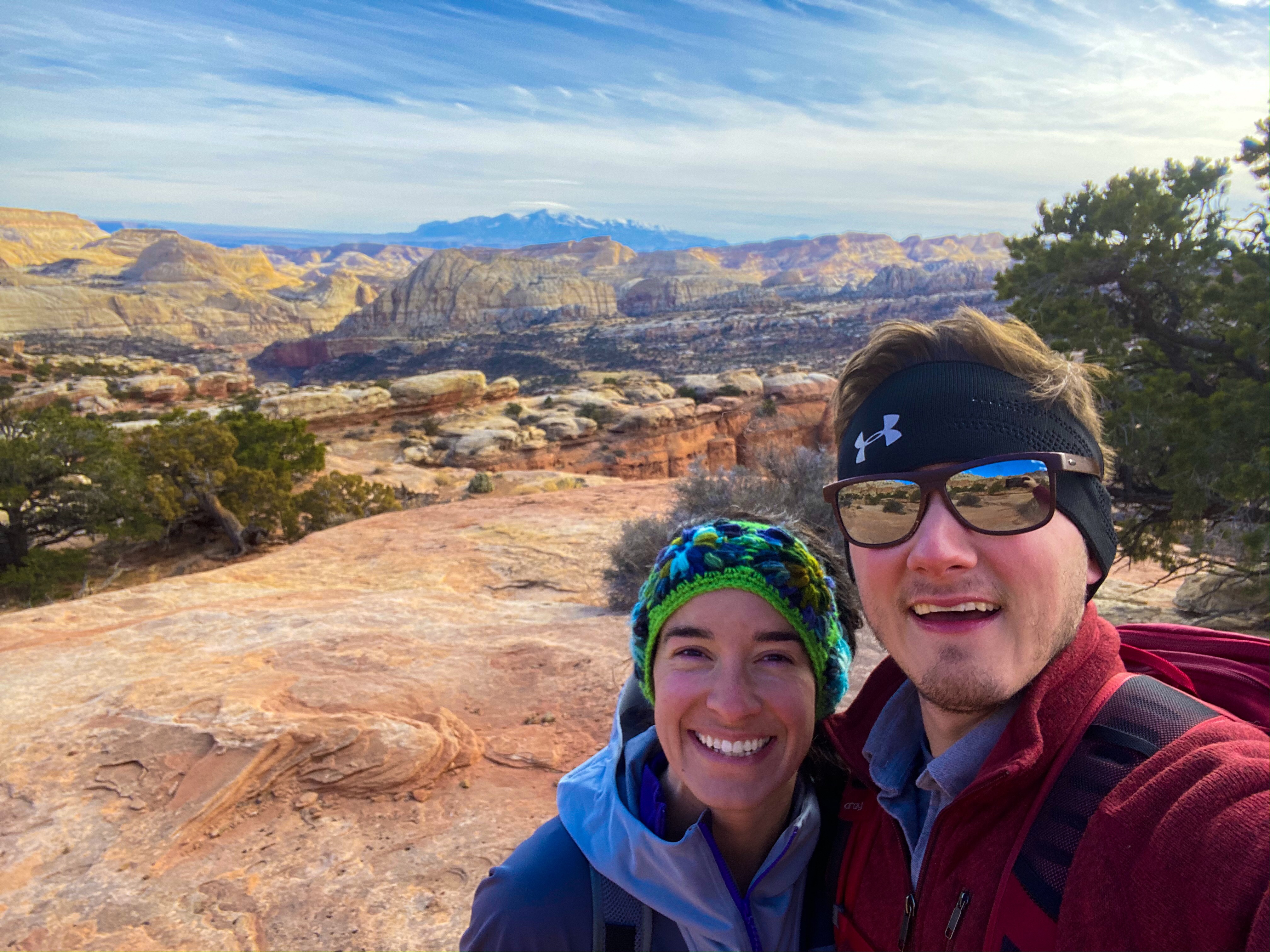
Day 2
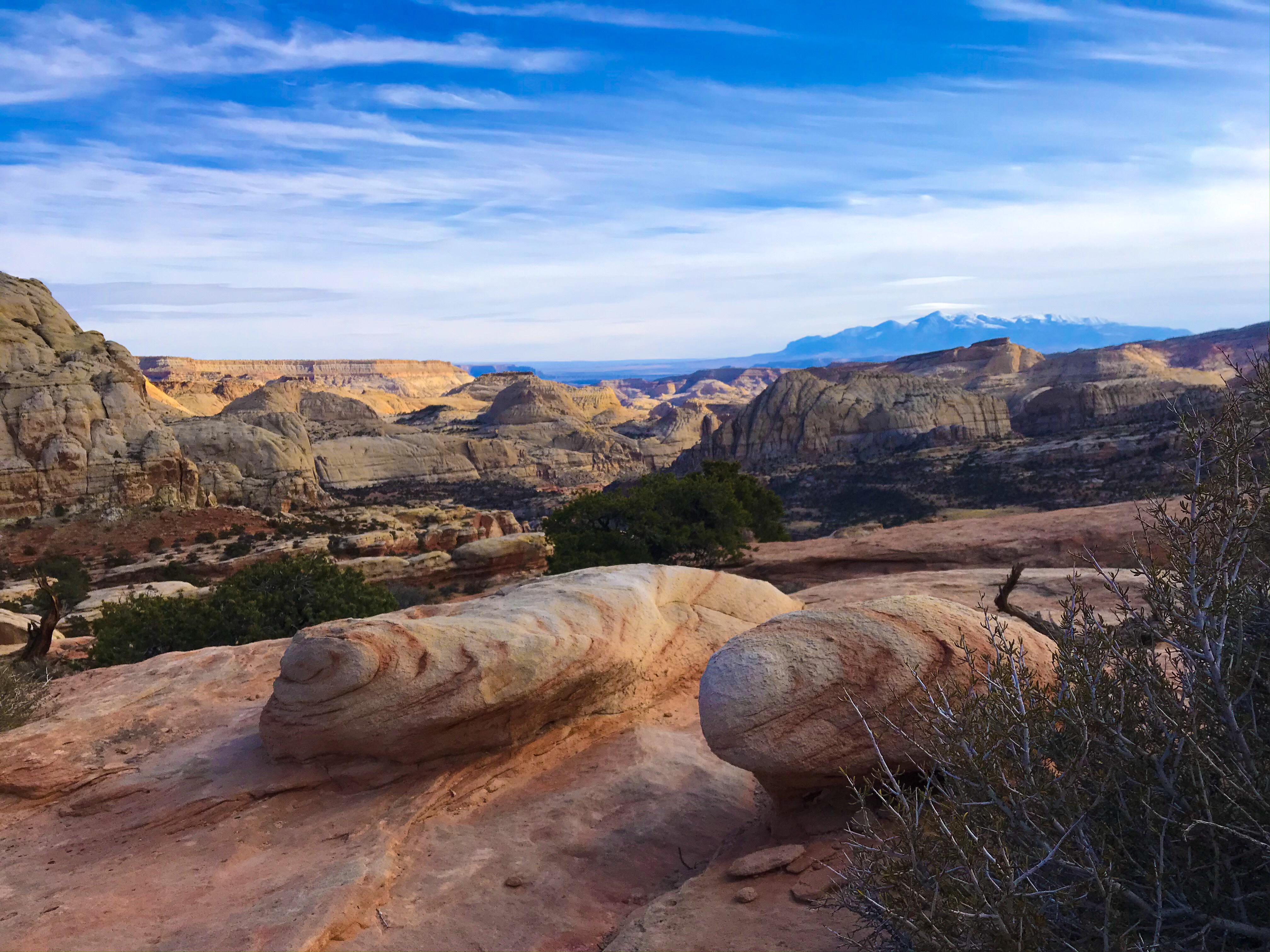
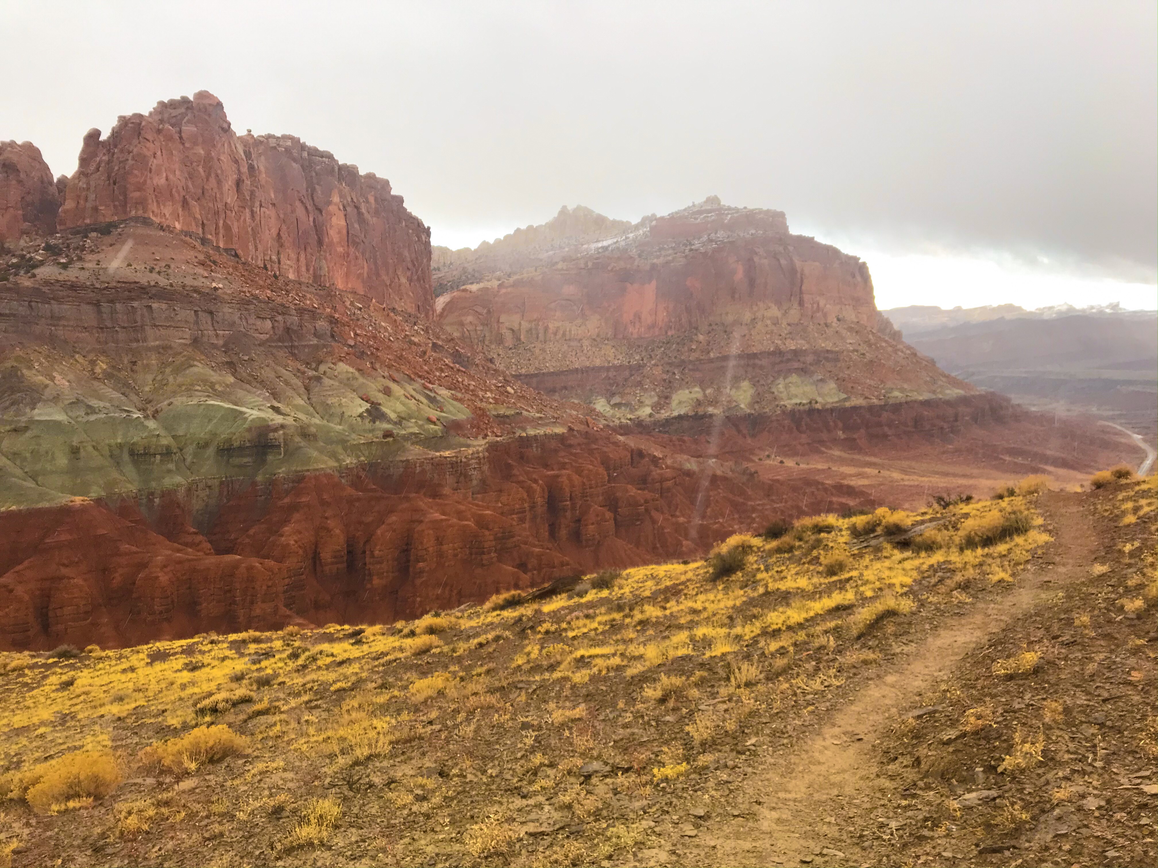
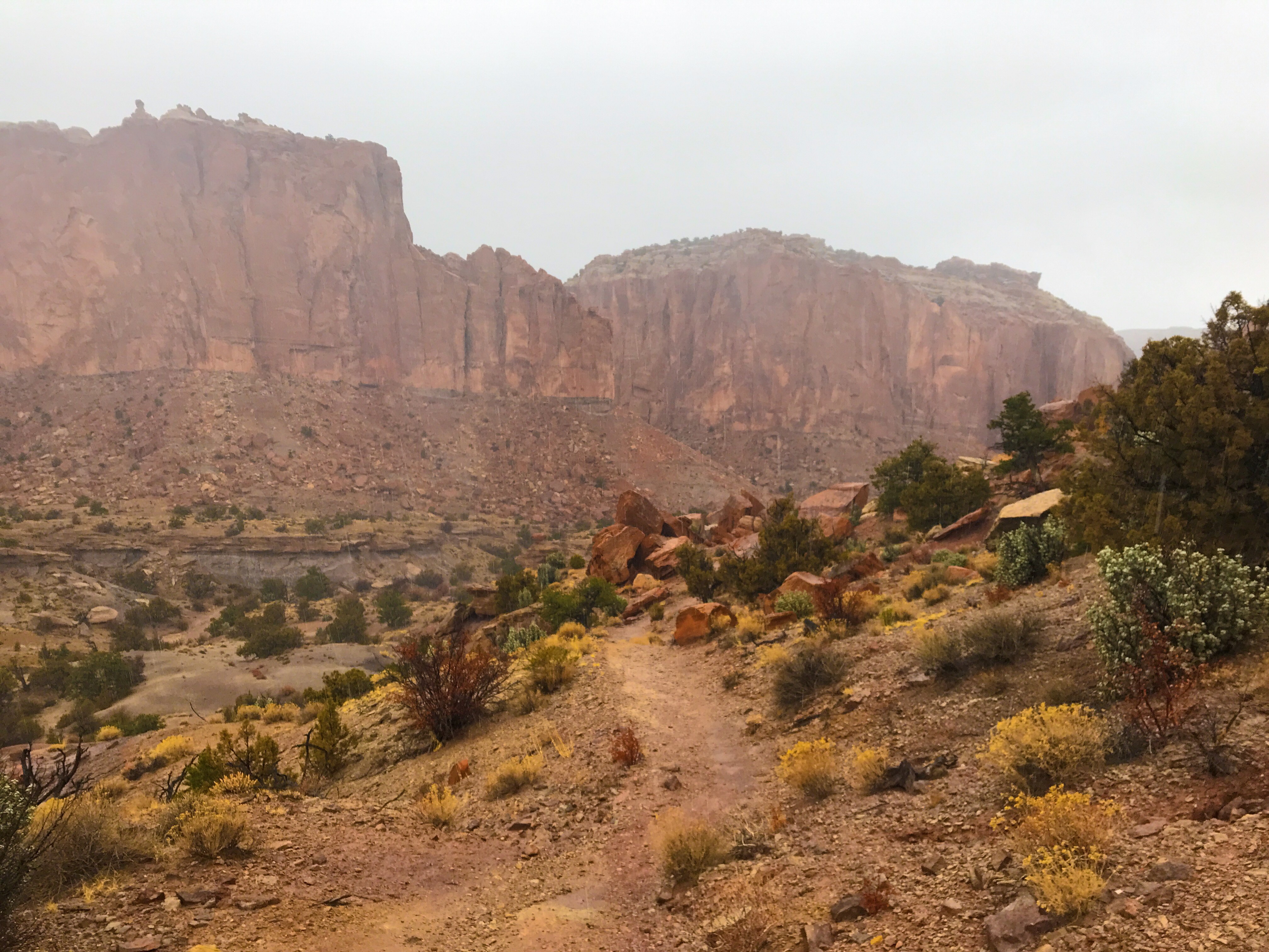
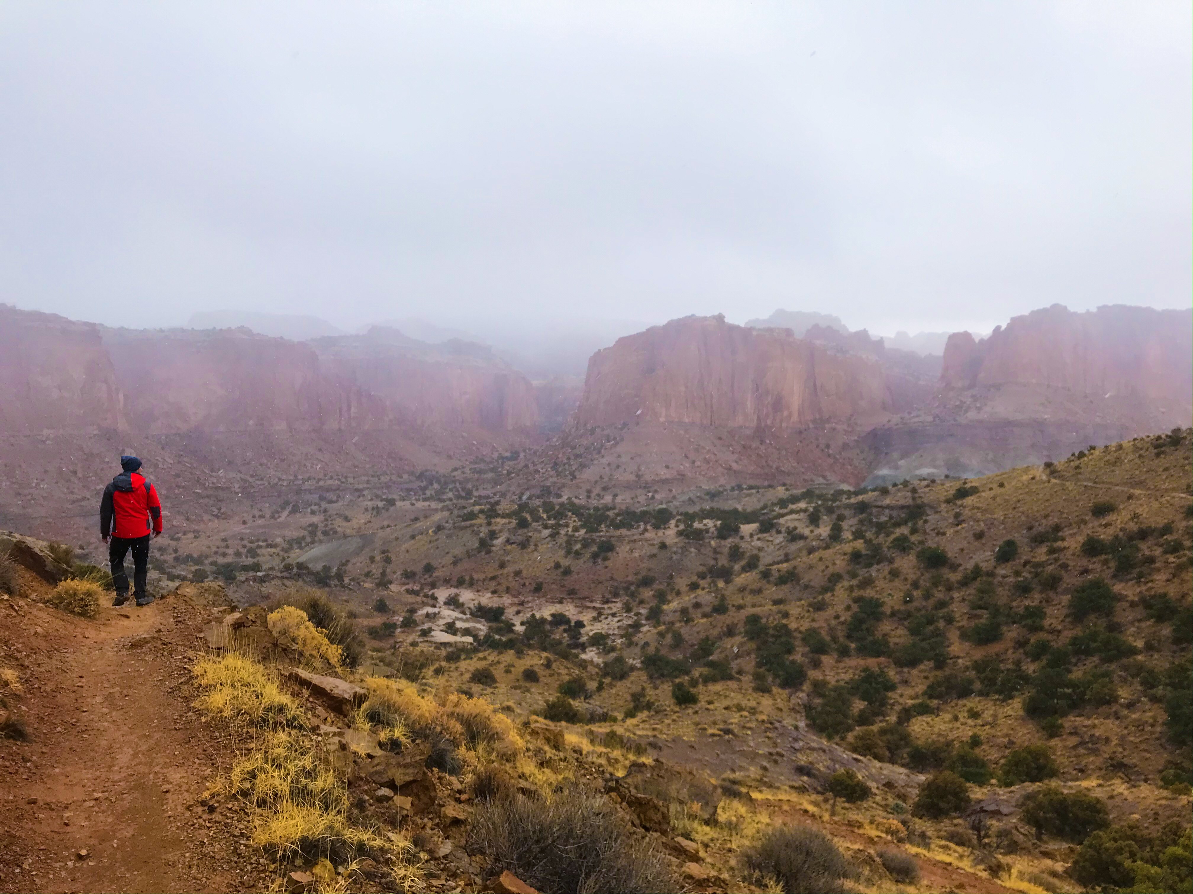
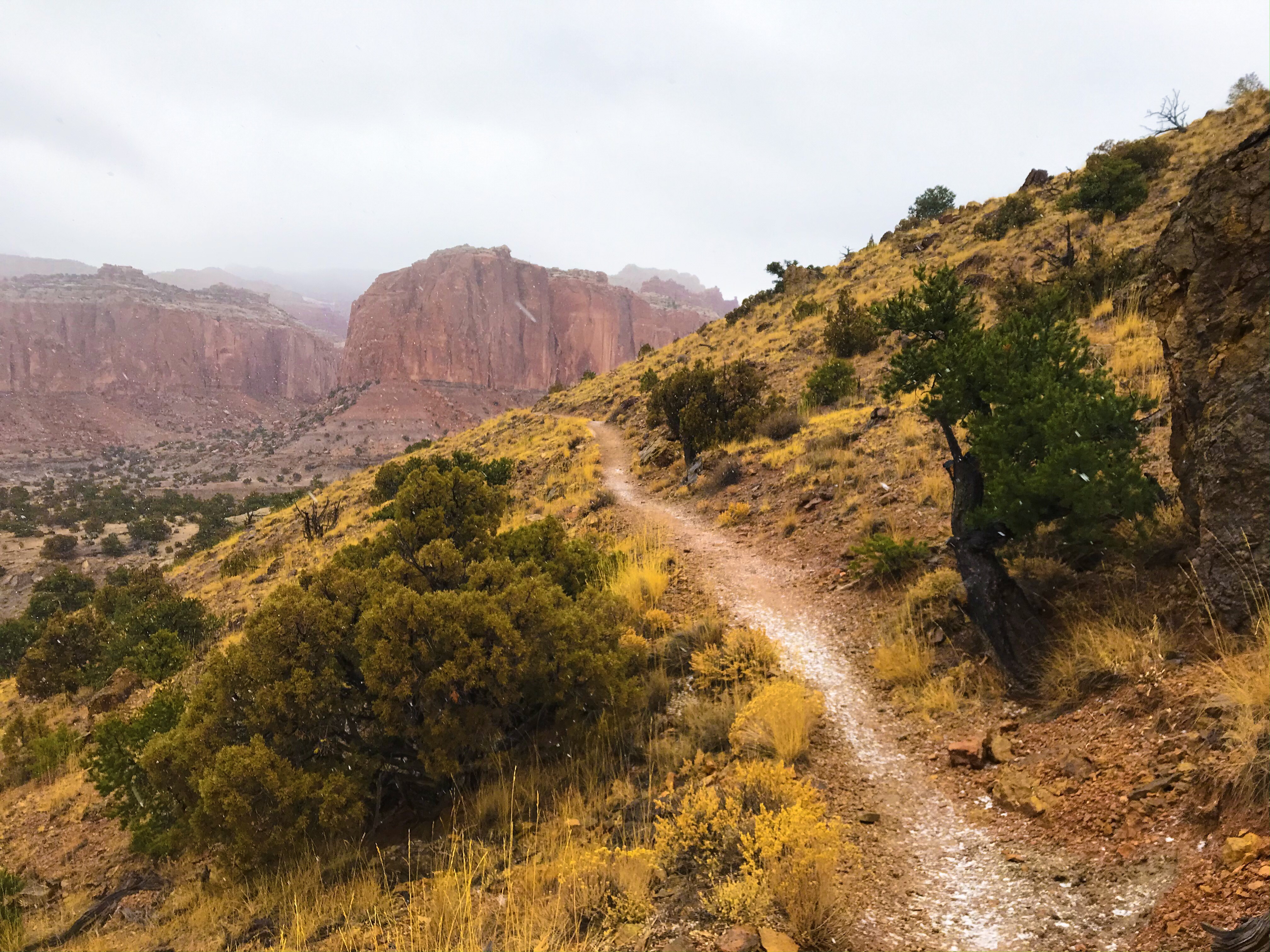
Cohab Canyon & Fruita Overlook
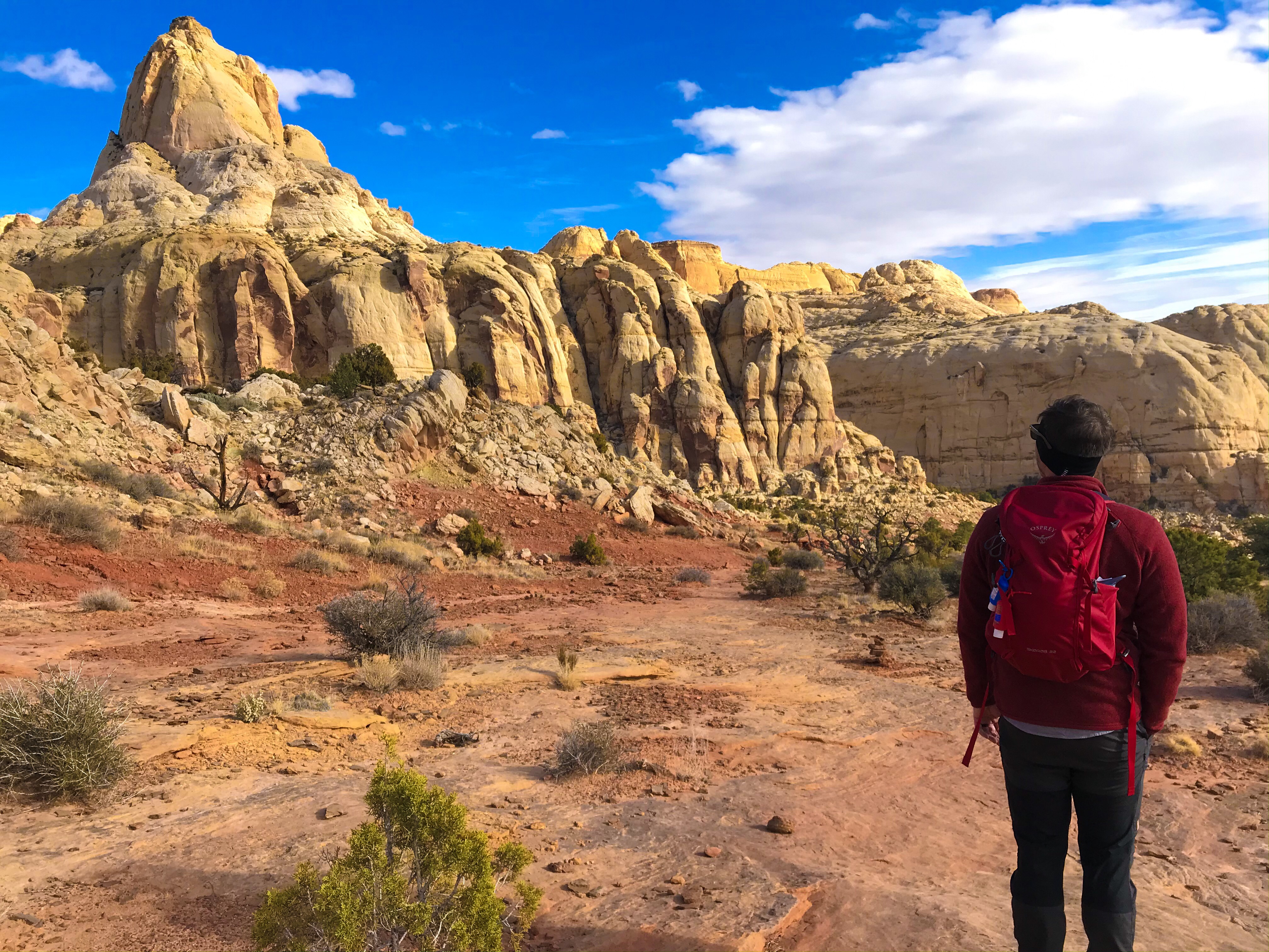
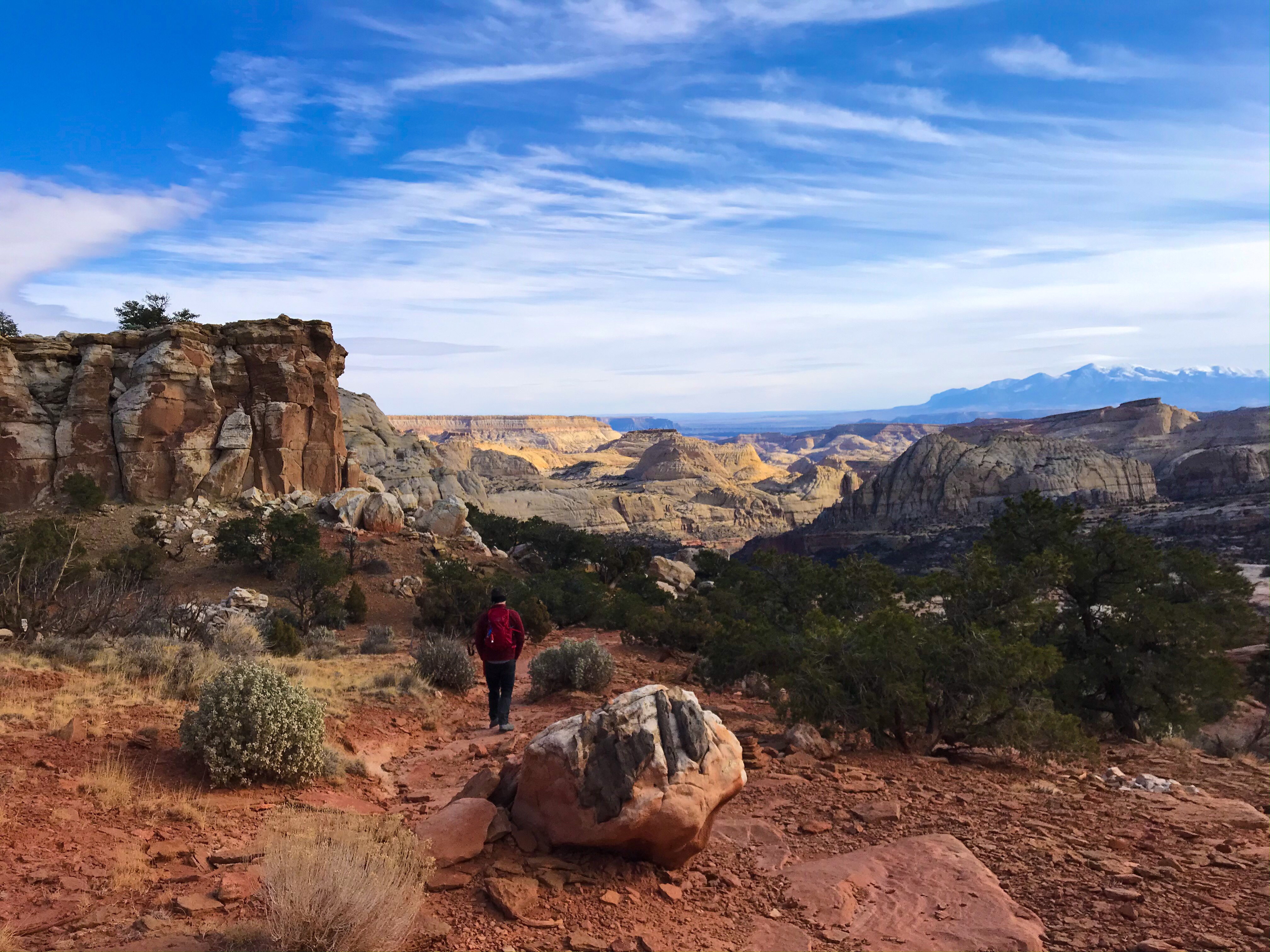
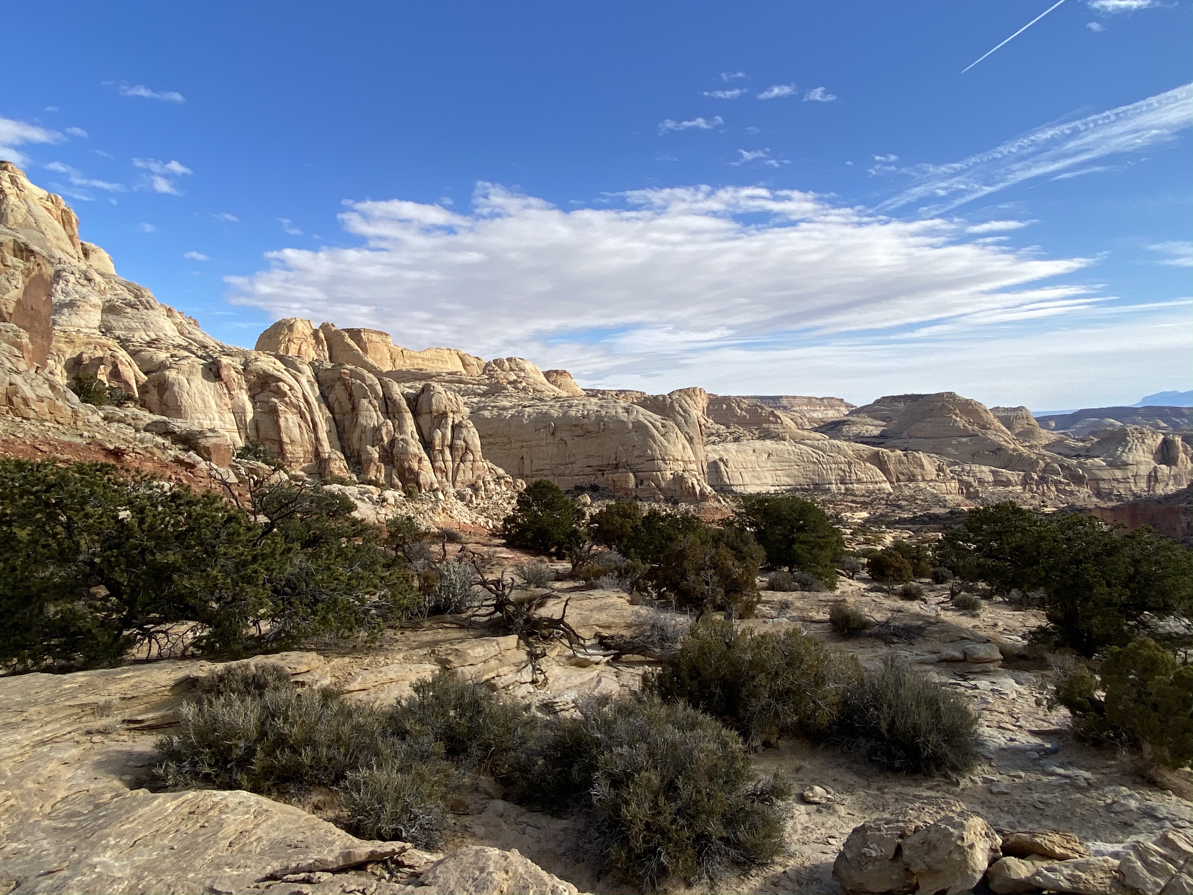
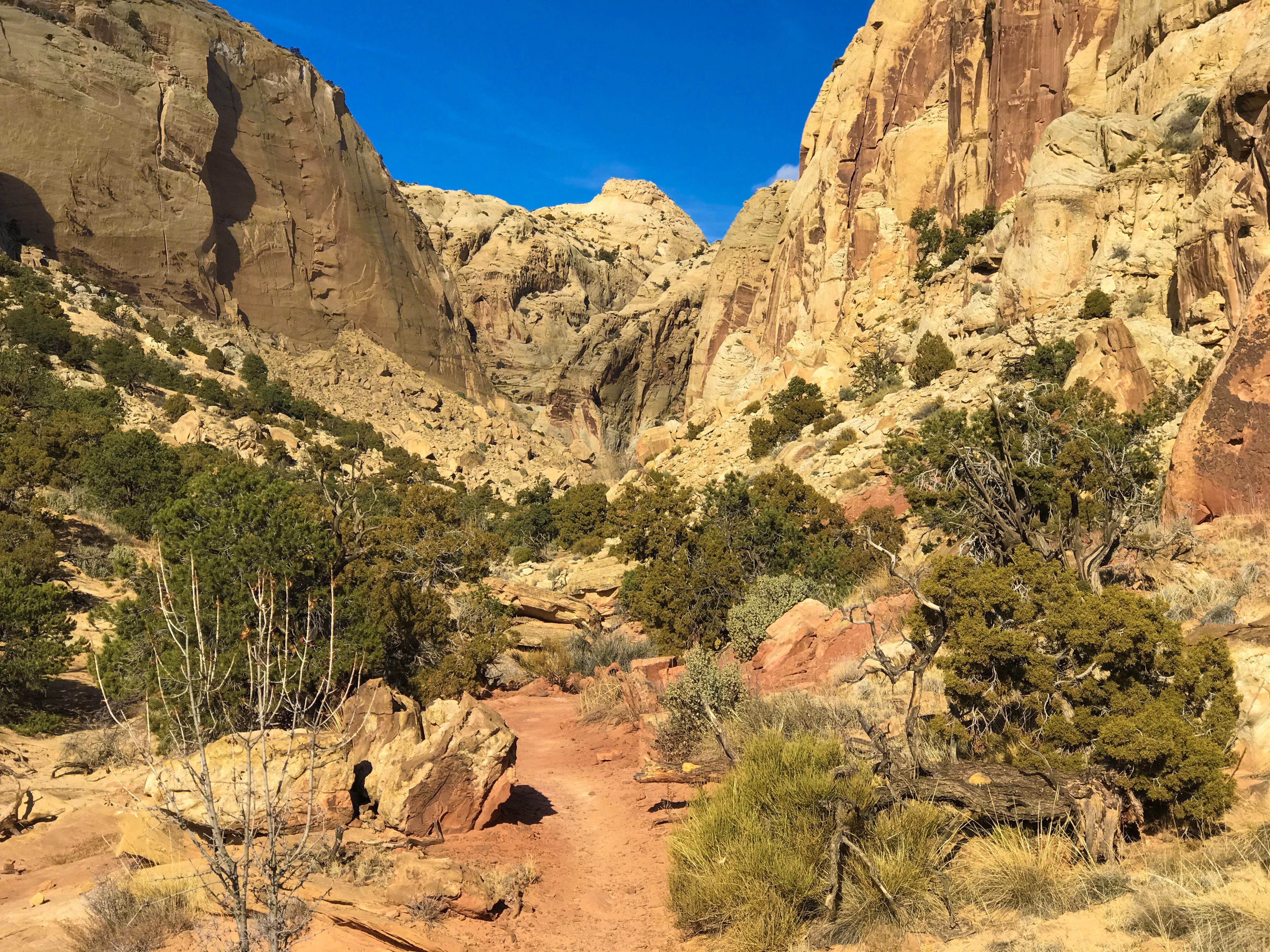
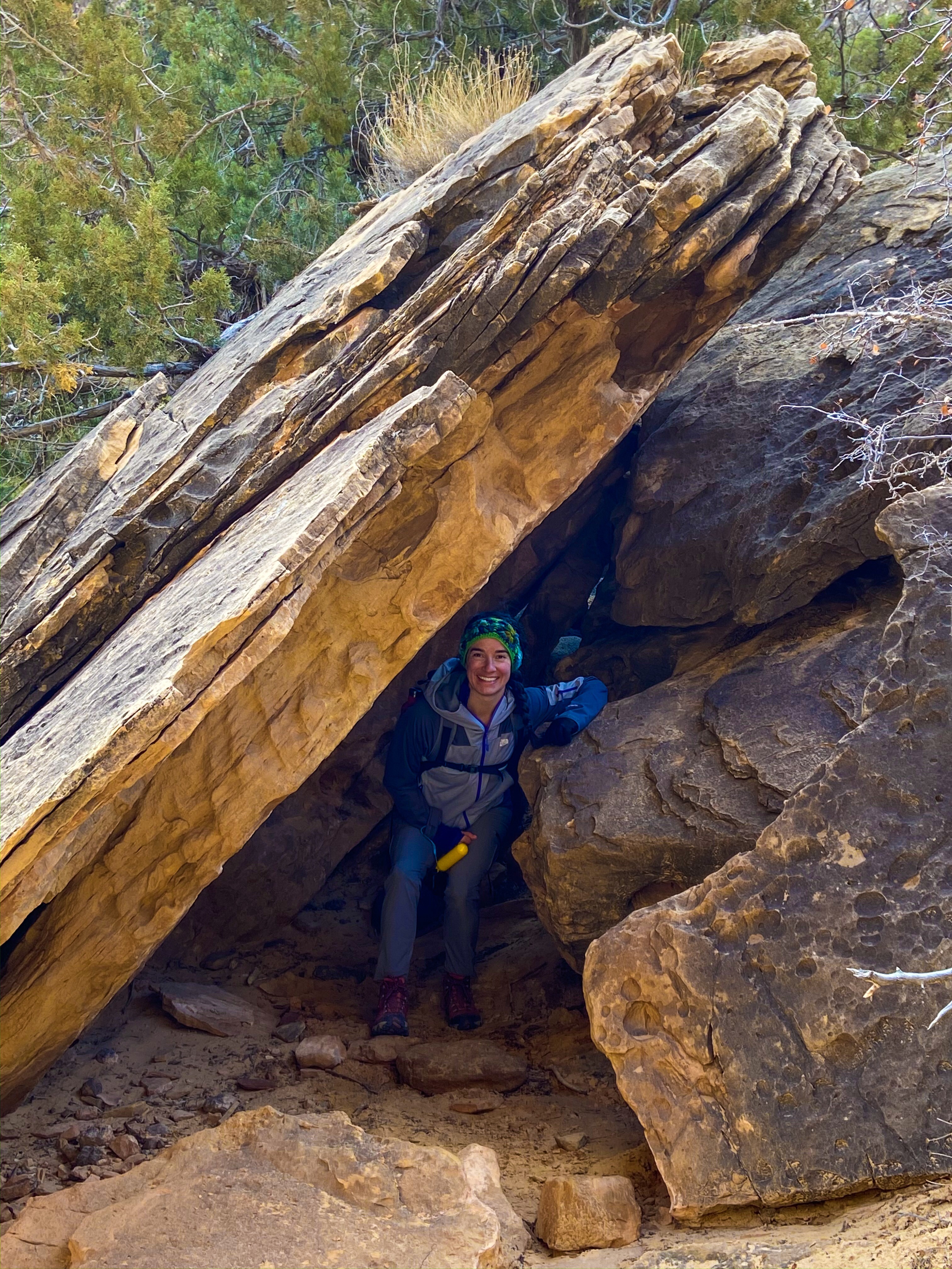
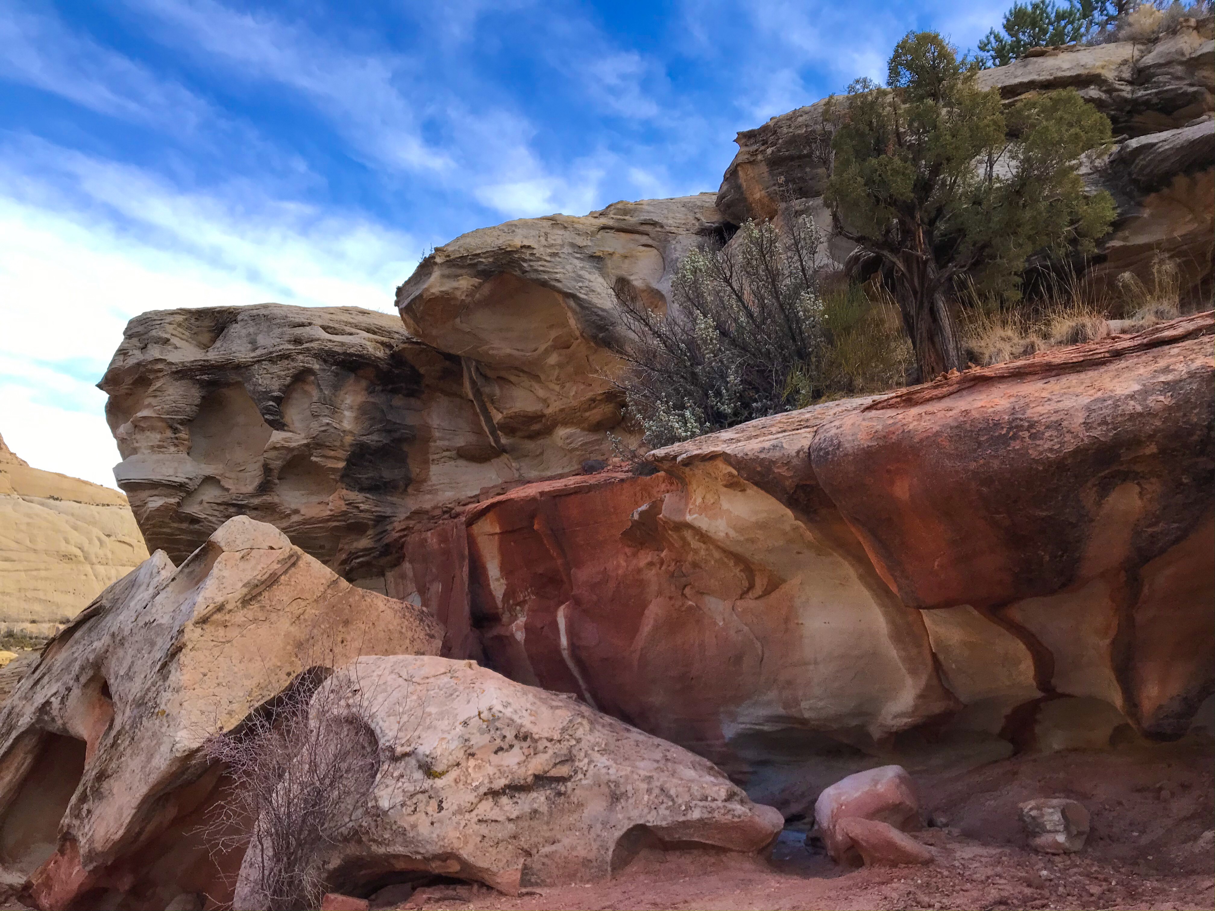
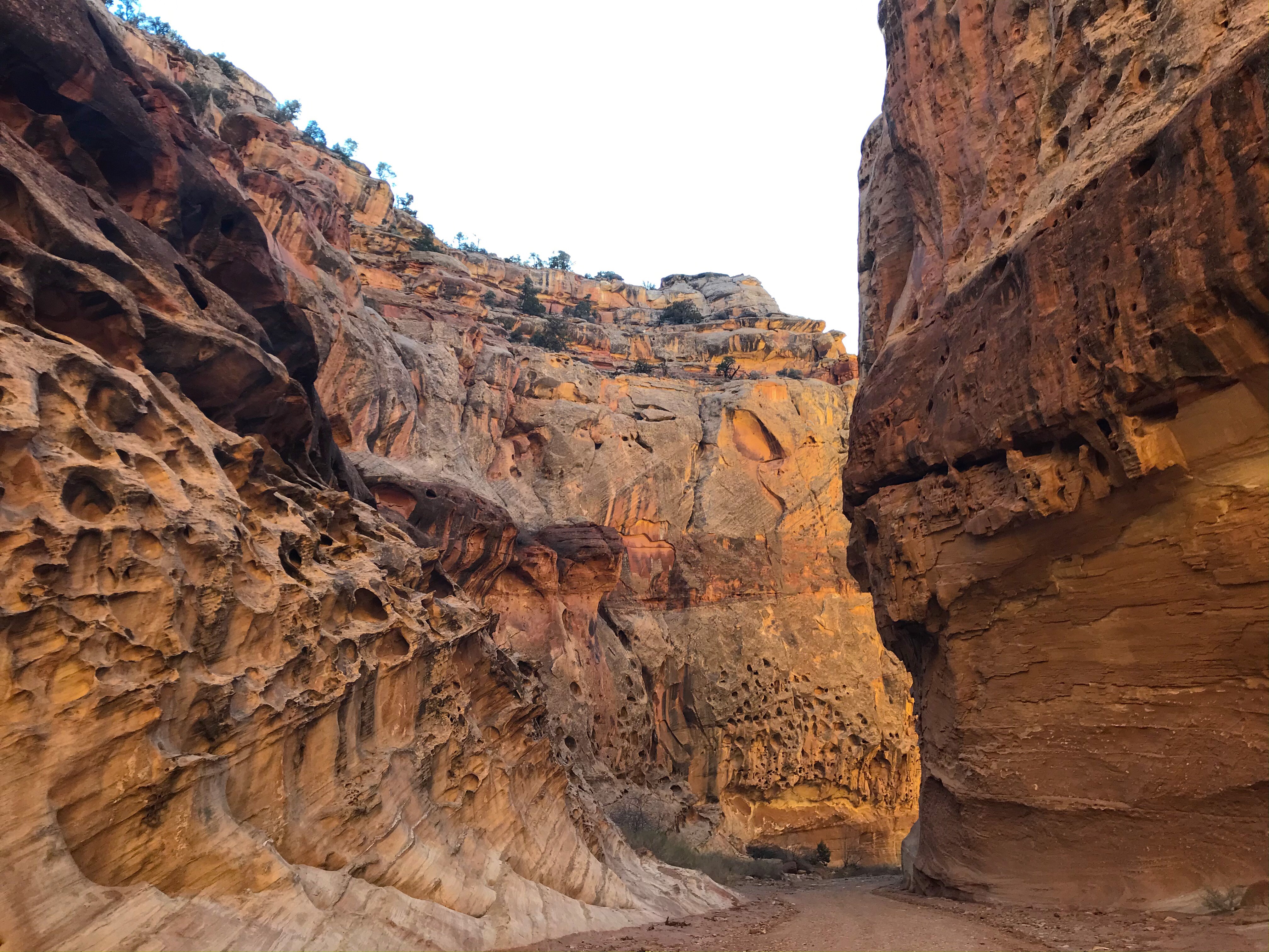
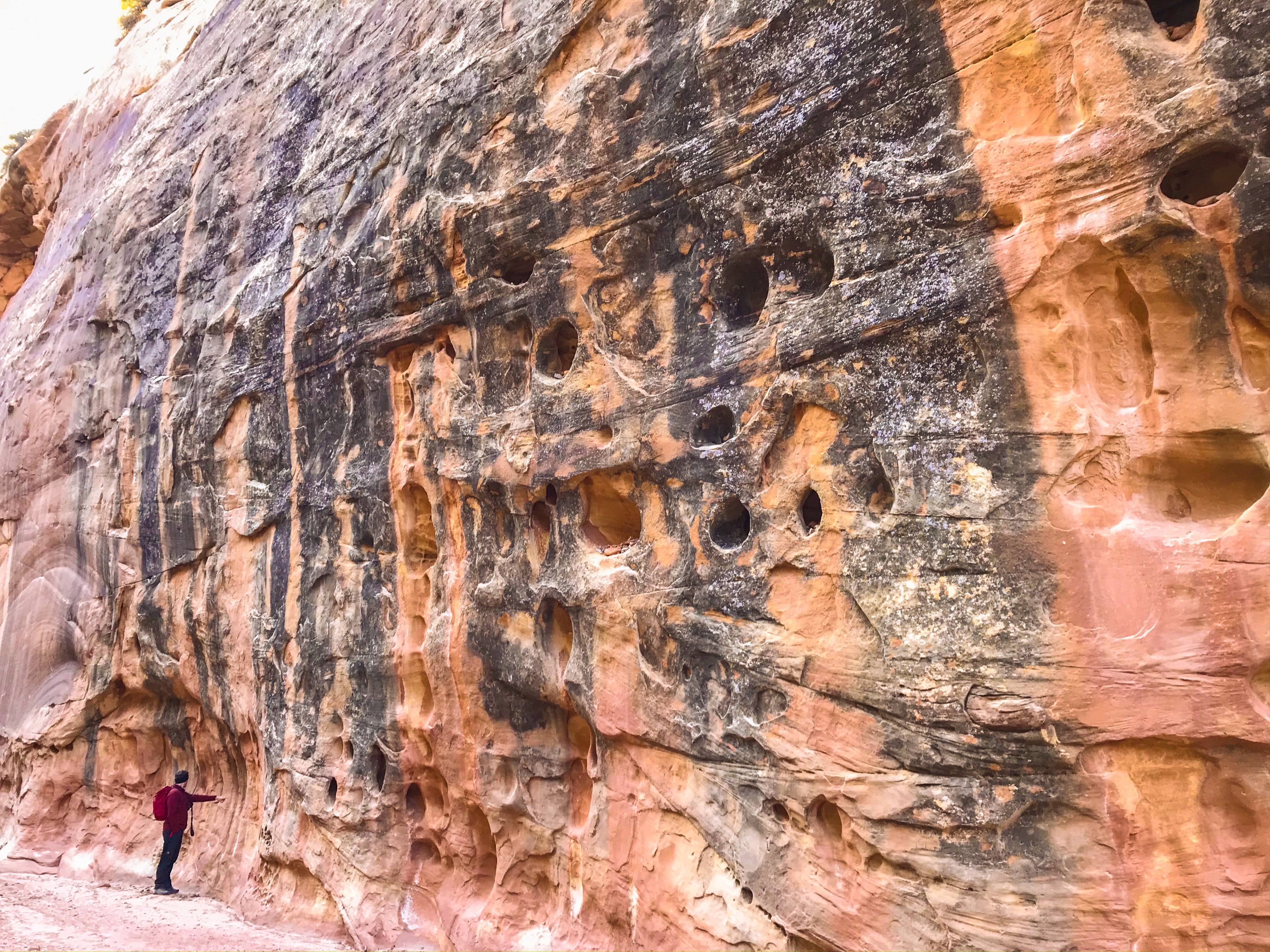
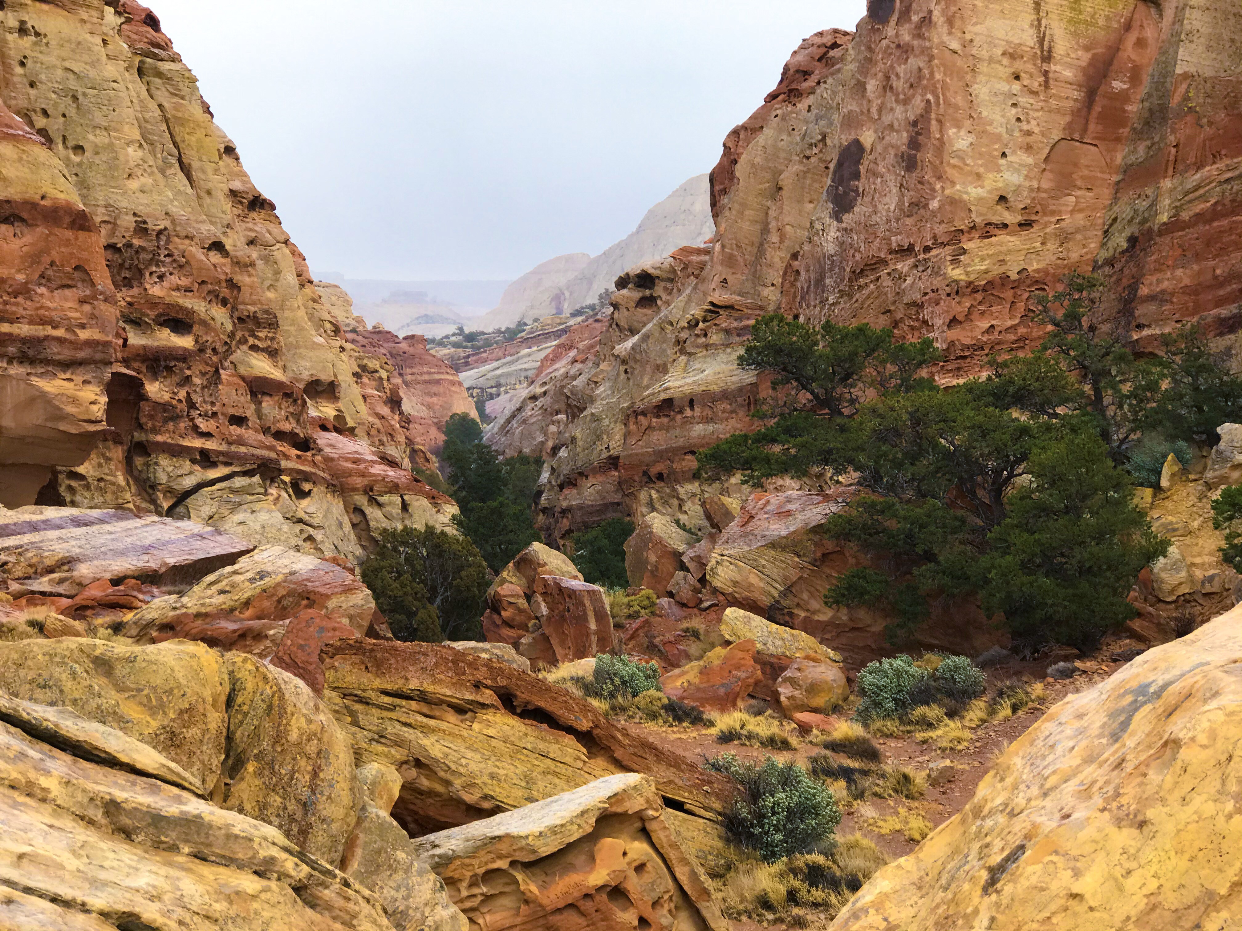
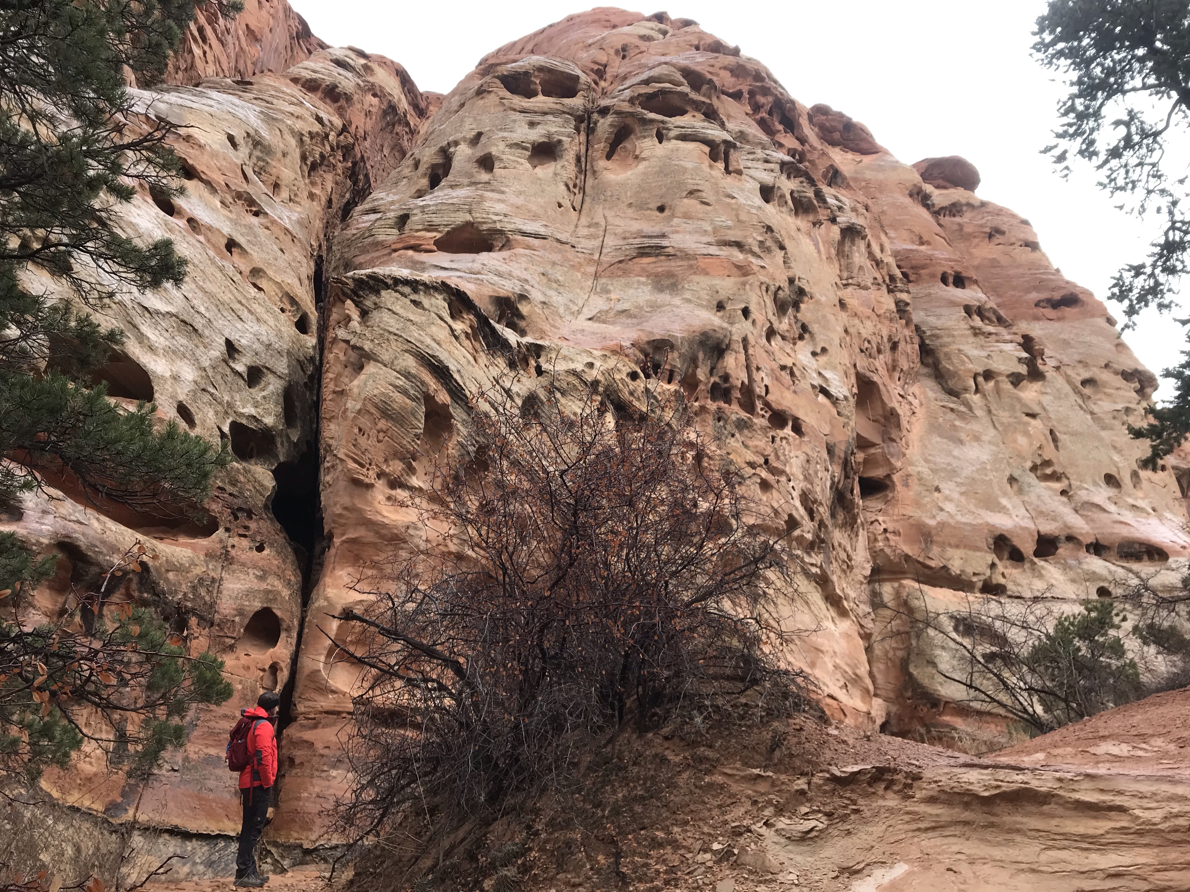
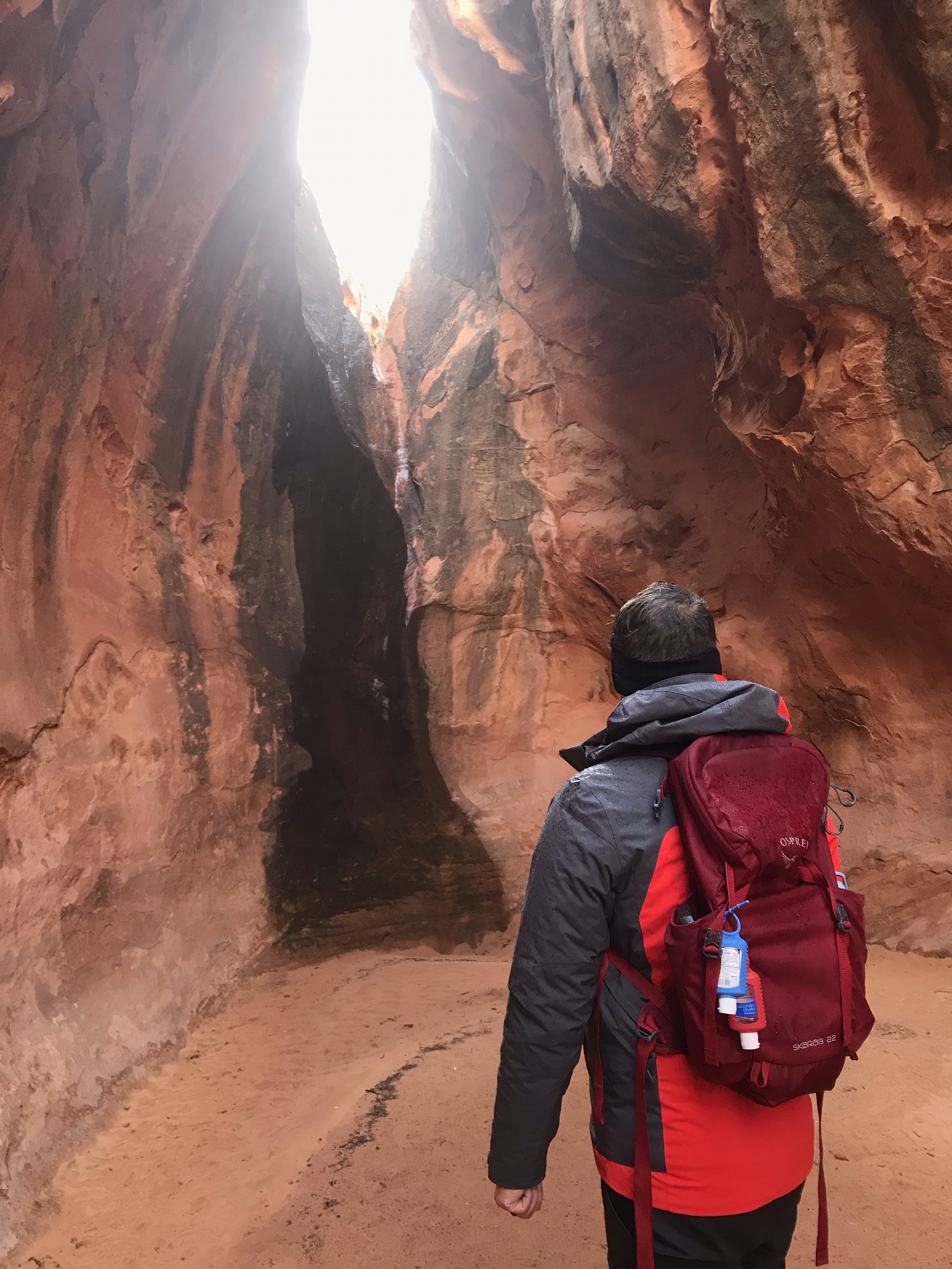
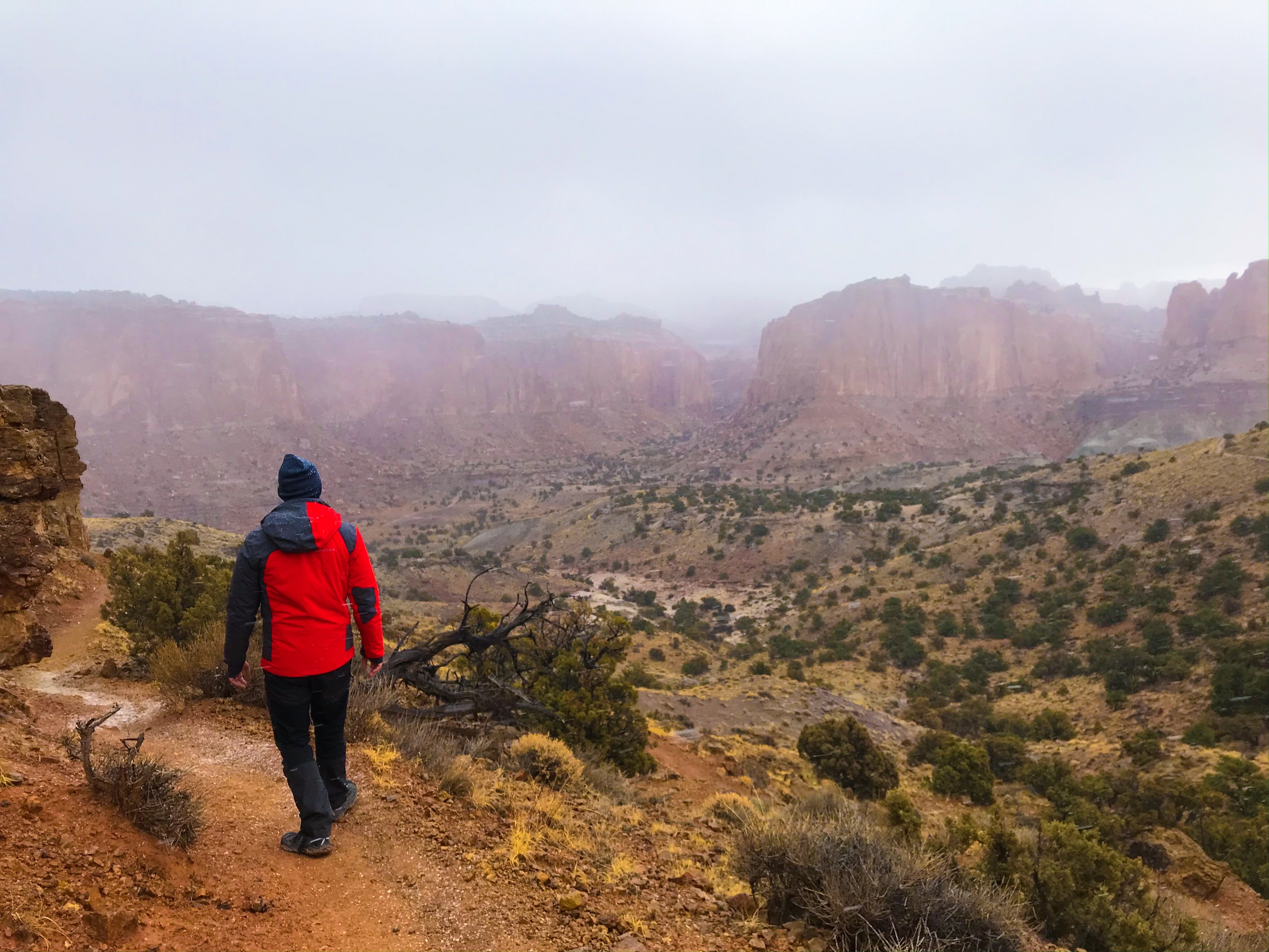
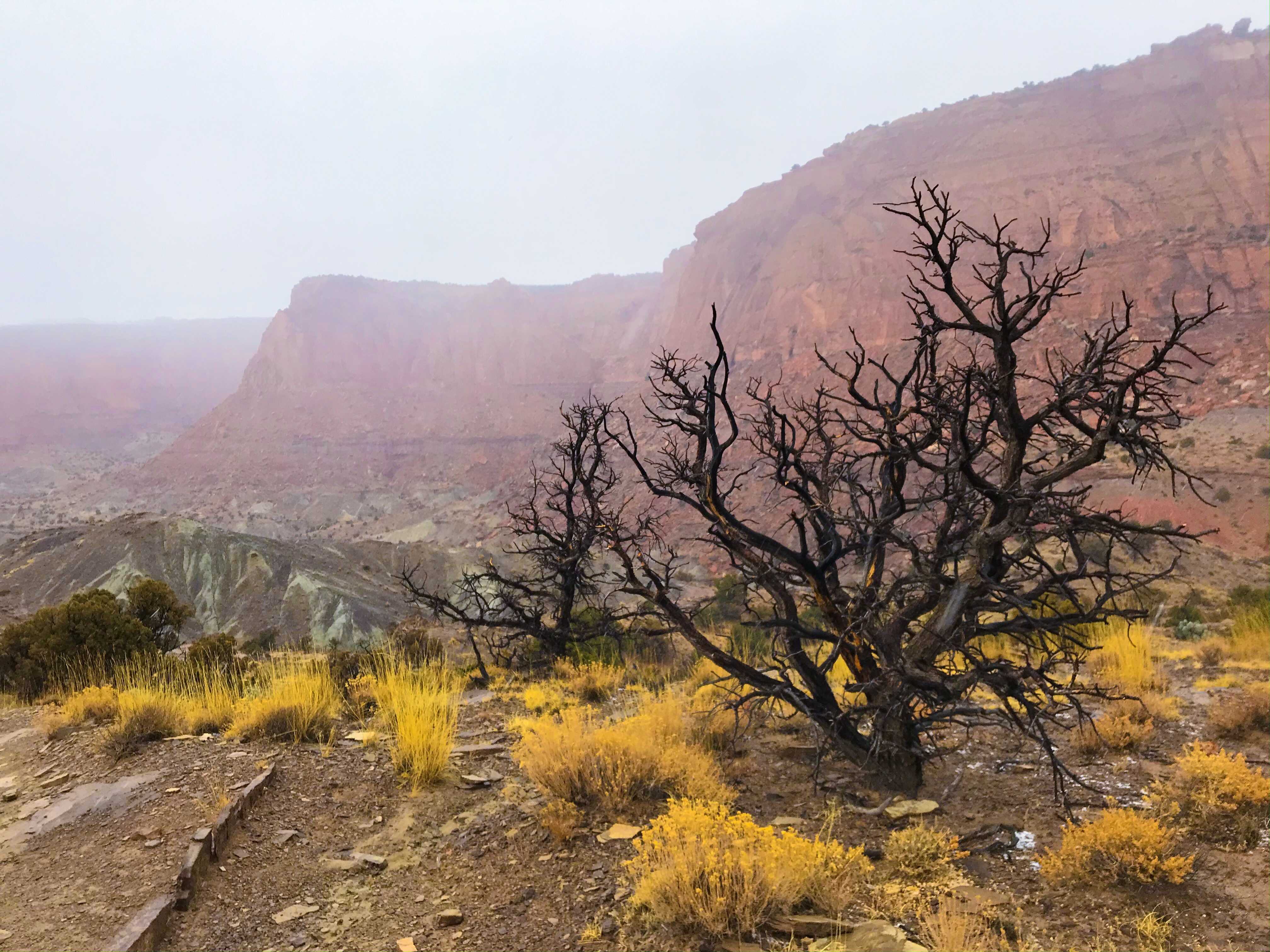
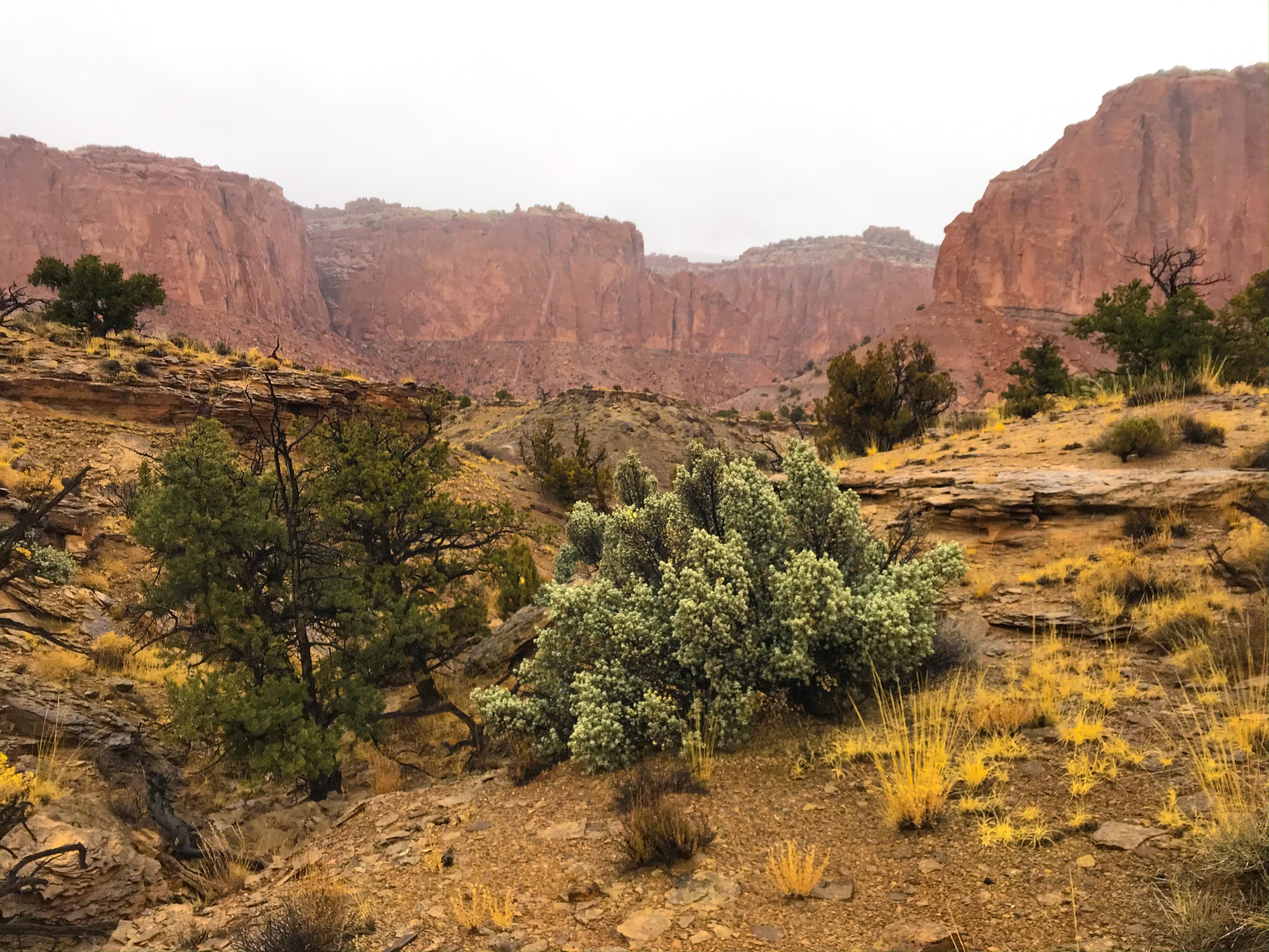
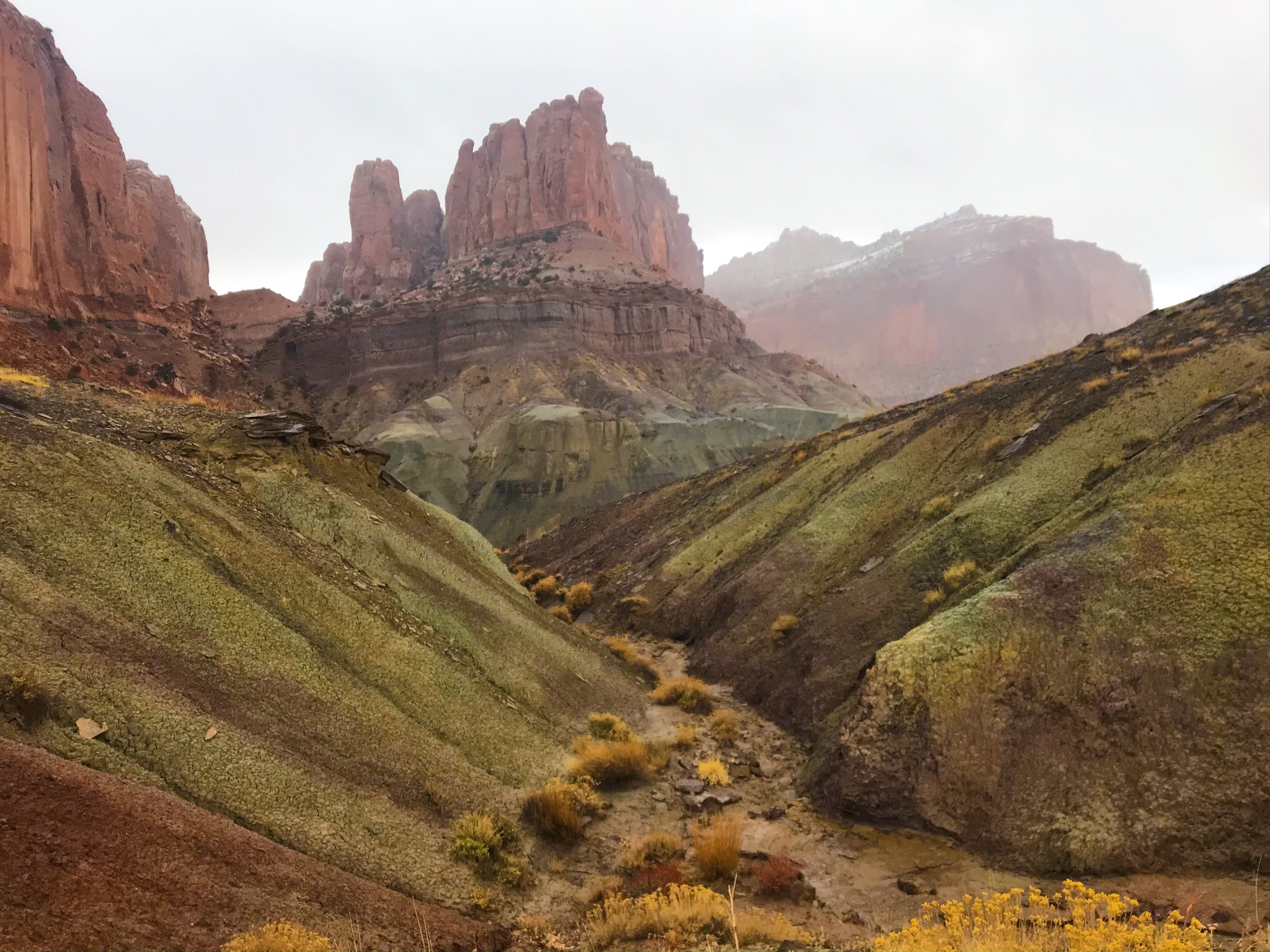
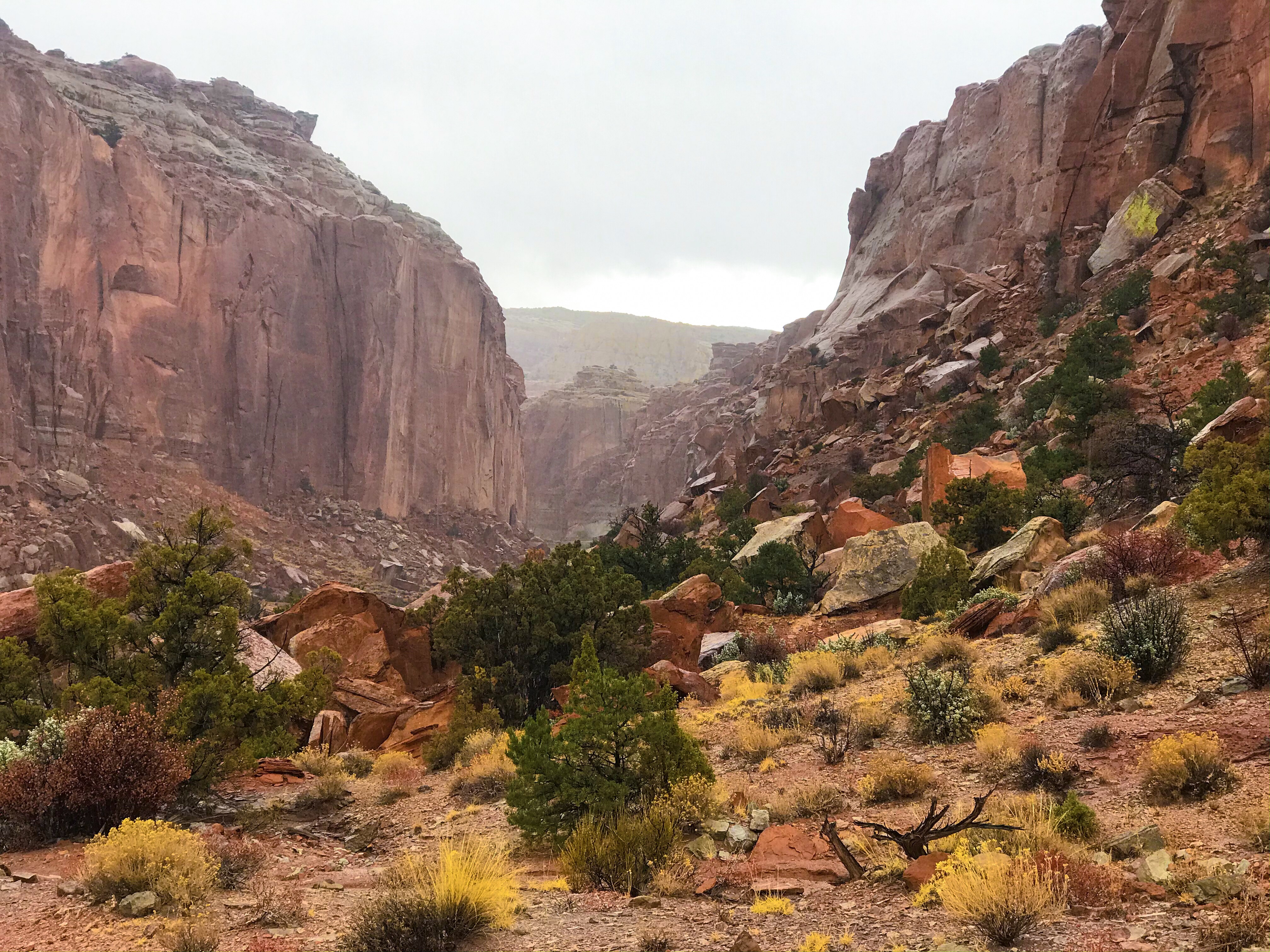
On our second day, Cohab Canyon was a nice hike to stretch out our legs. A steep ascent that led to a long walk through a deep canyon, the walls rising far above our heads.
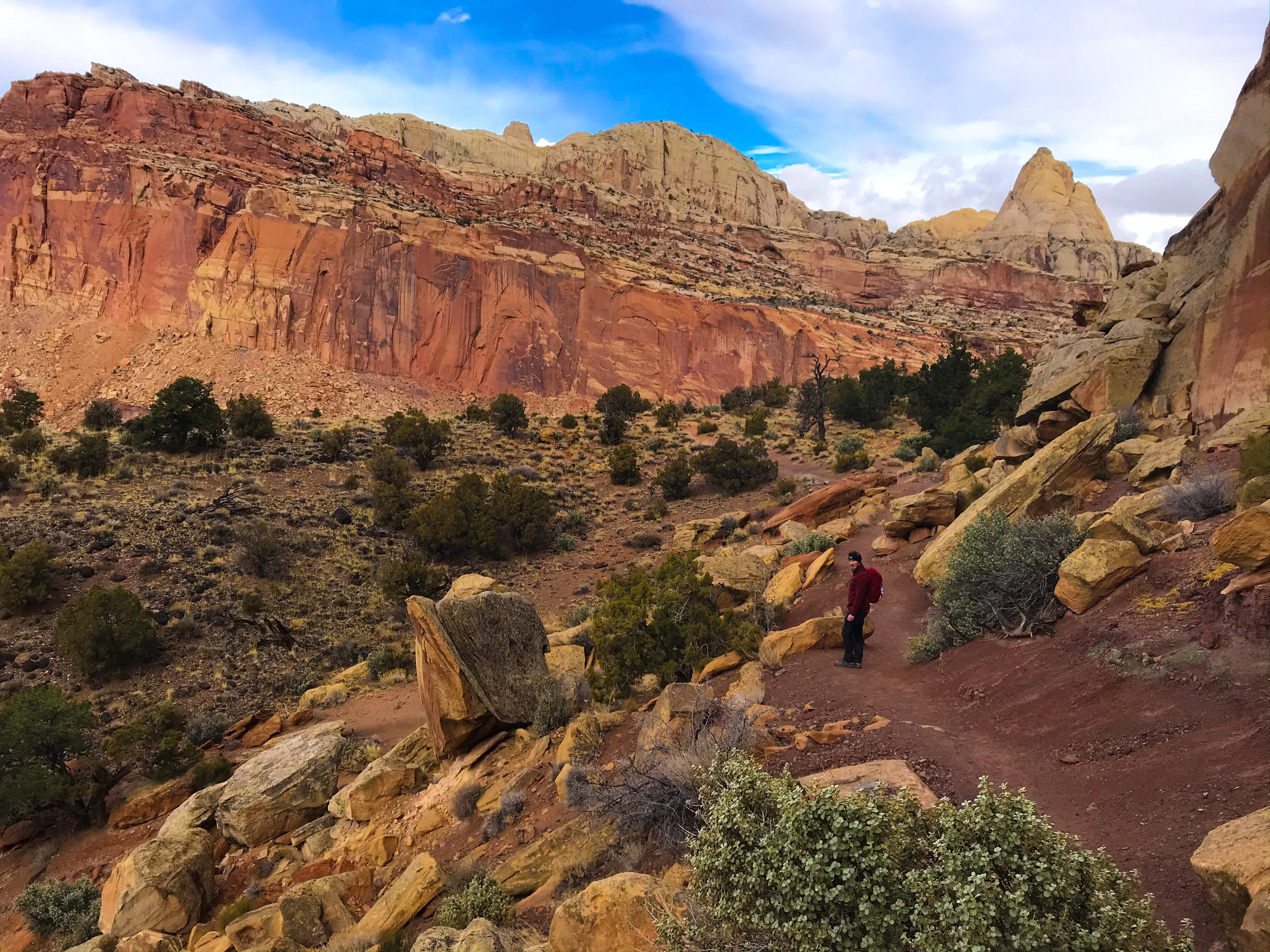
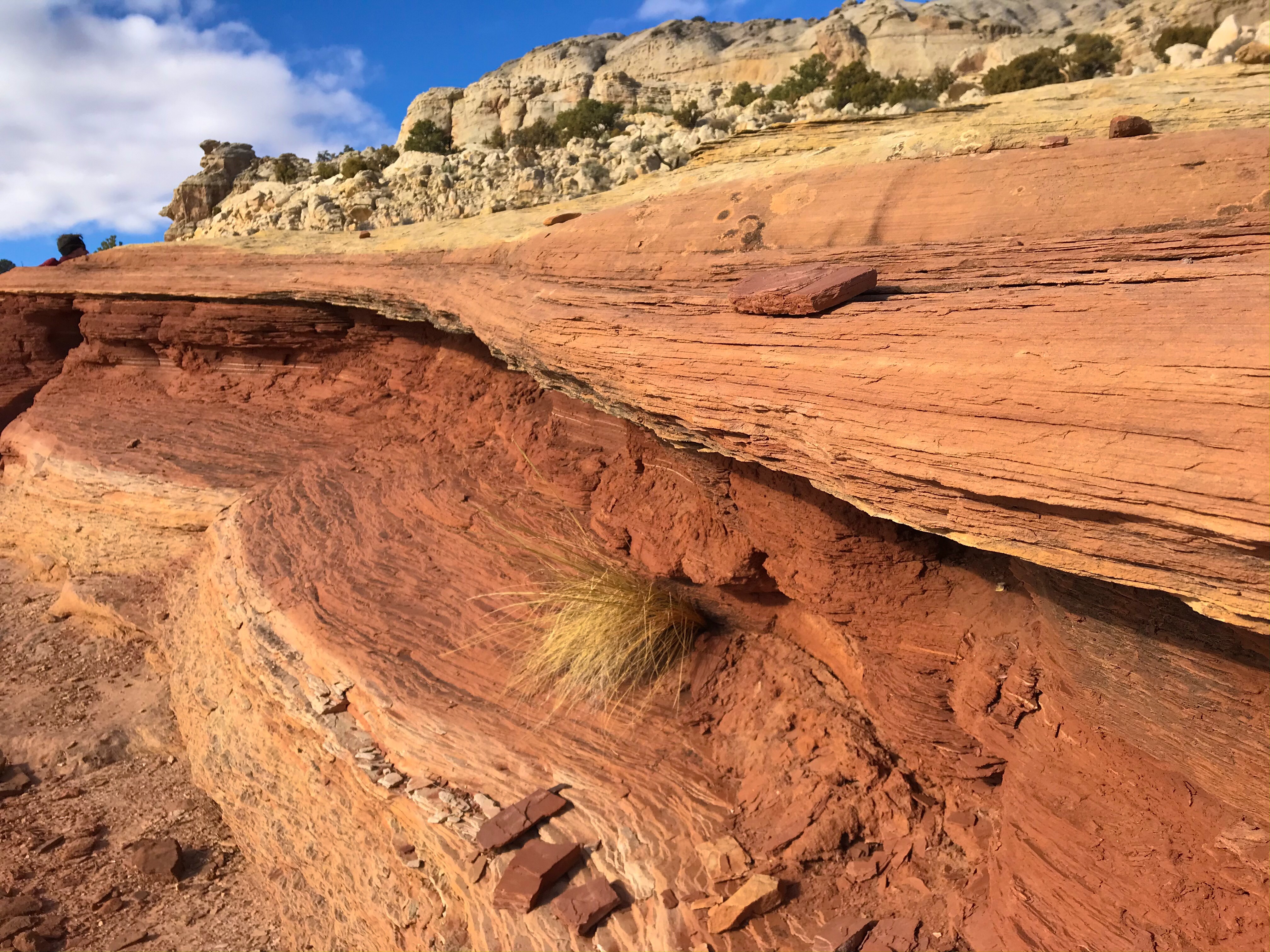
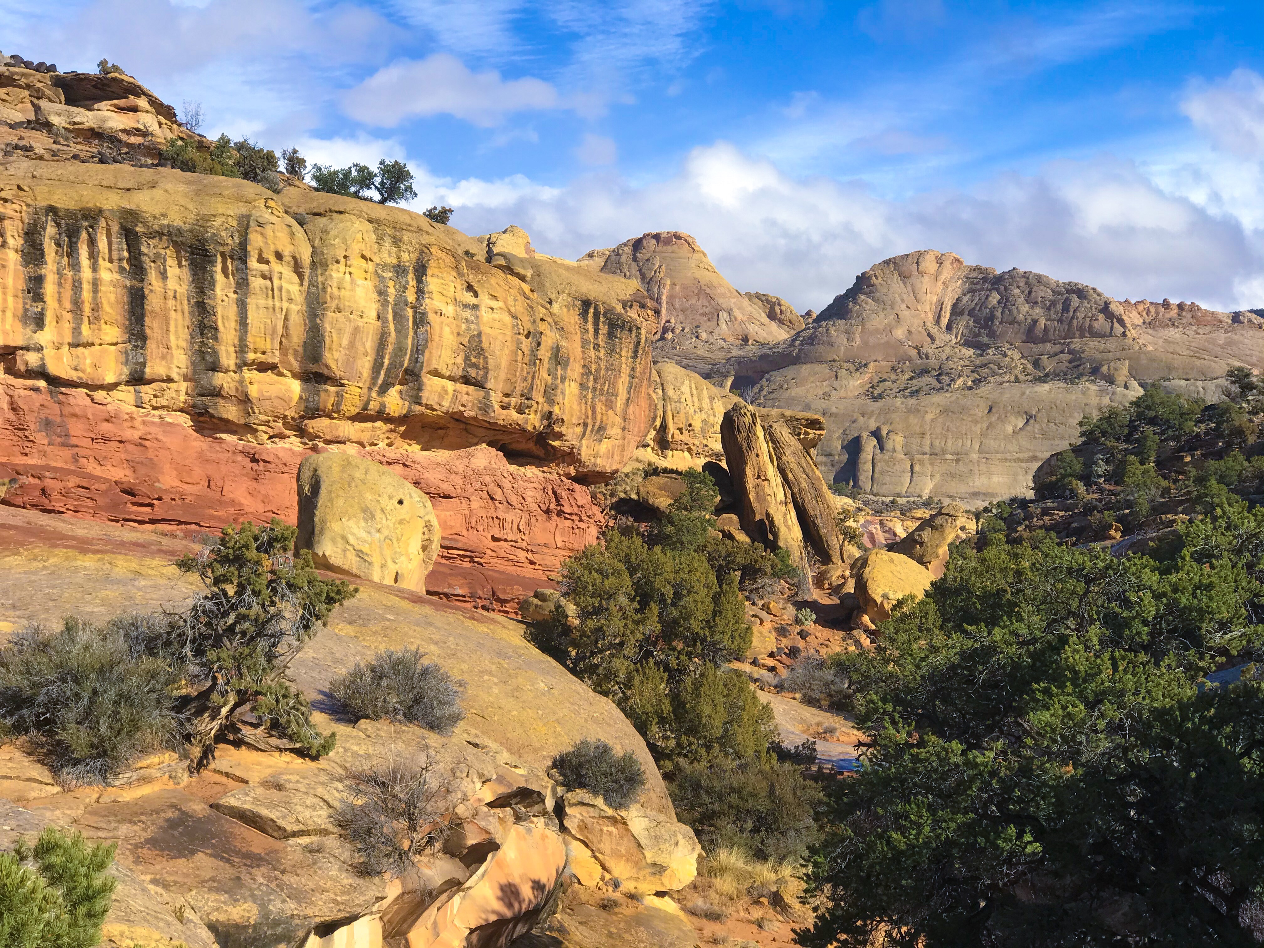
This hike is where we saw the most of the rock structure that Capitol Reef National Park is famous for – the washed out rock formations that look like coral reefs!
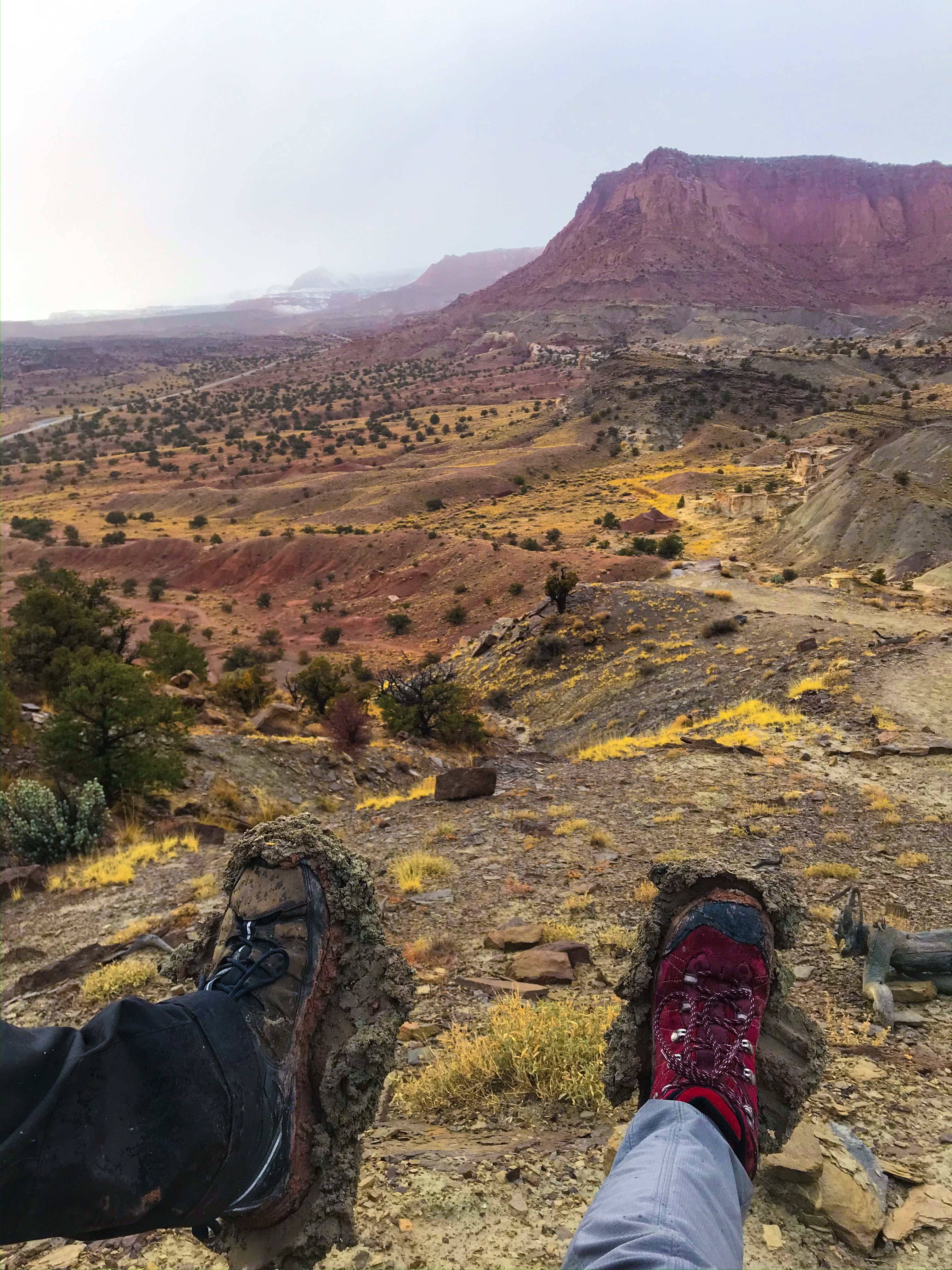
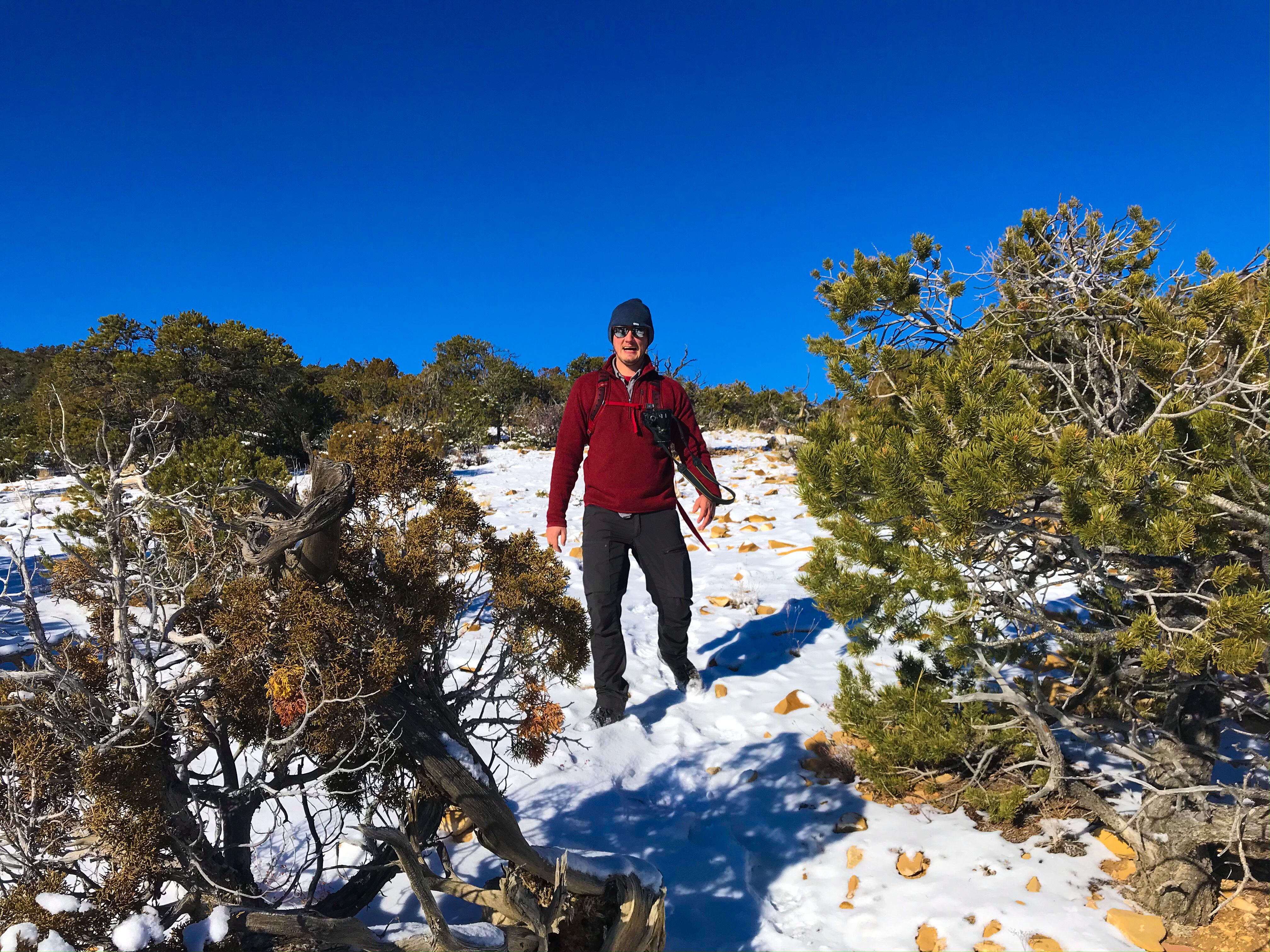
It rained, snowed, was warm, and was bitterly cold on this hike – we truly had to be prepared for any weather. Usually I’m the person who over packs and fills the car with stuff we probably won’t need, but this is the first trip where we quite literally used every item we brought with us.
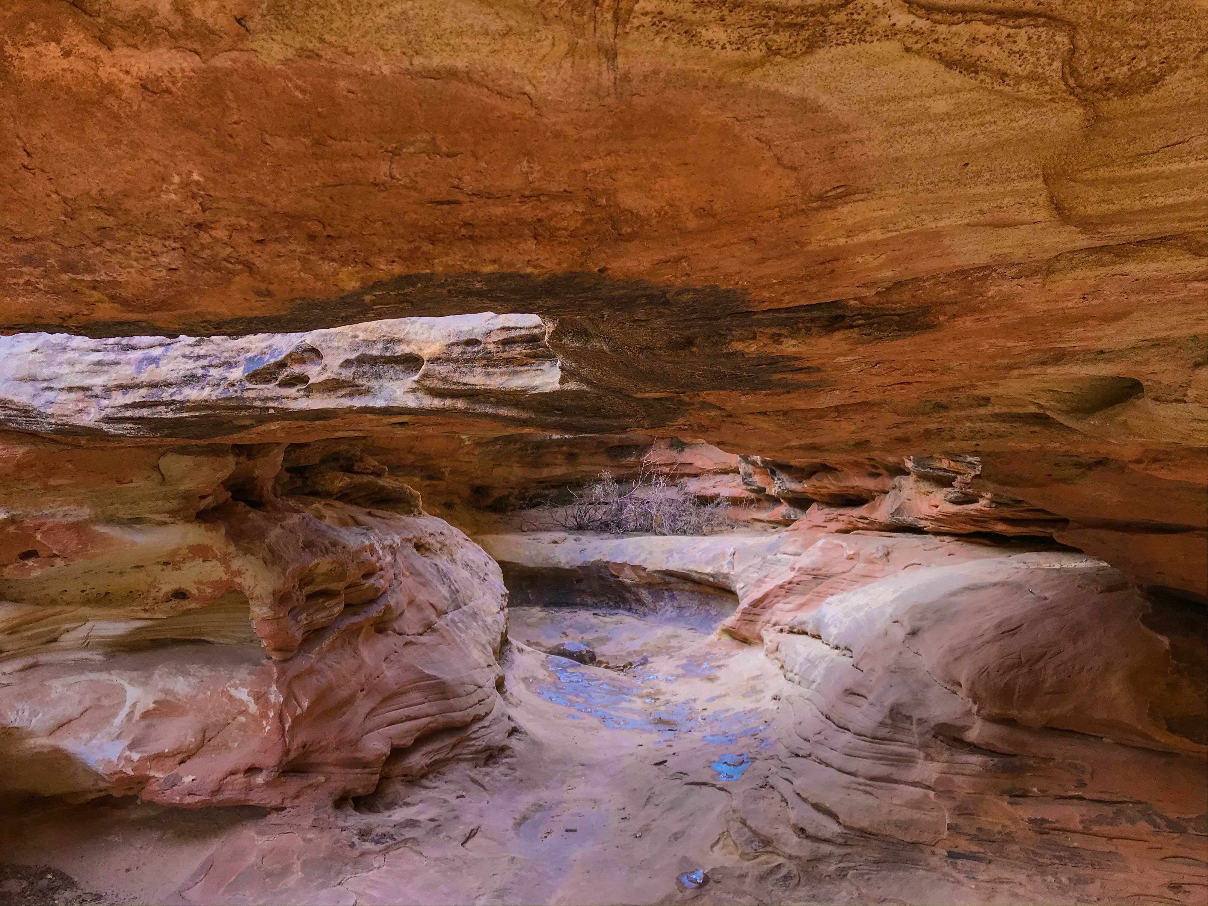
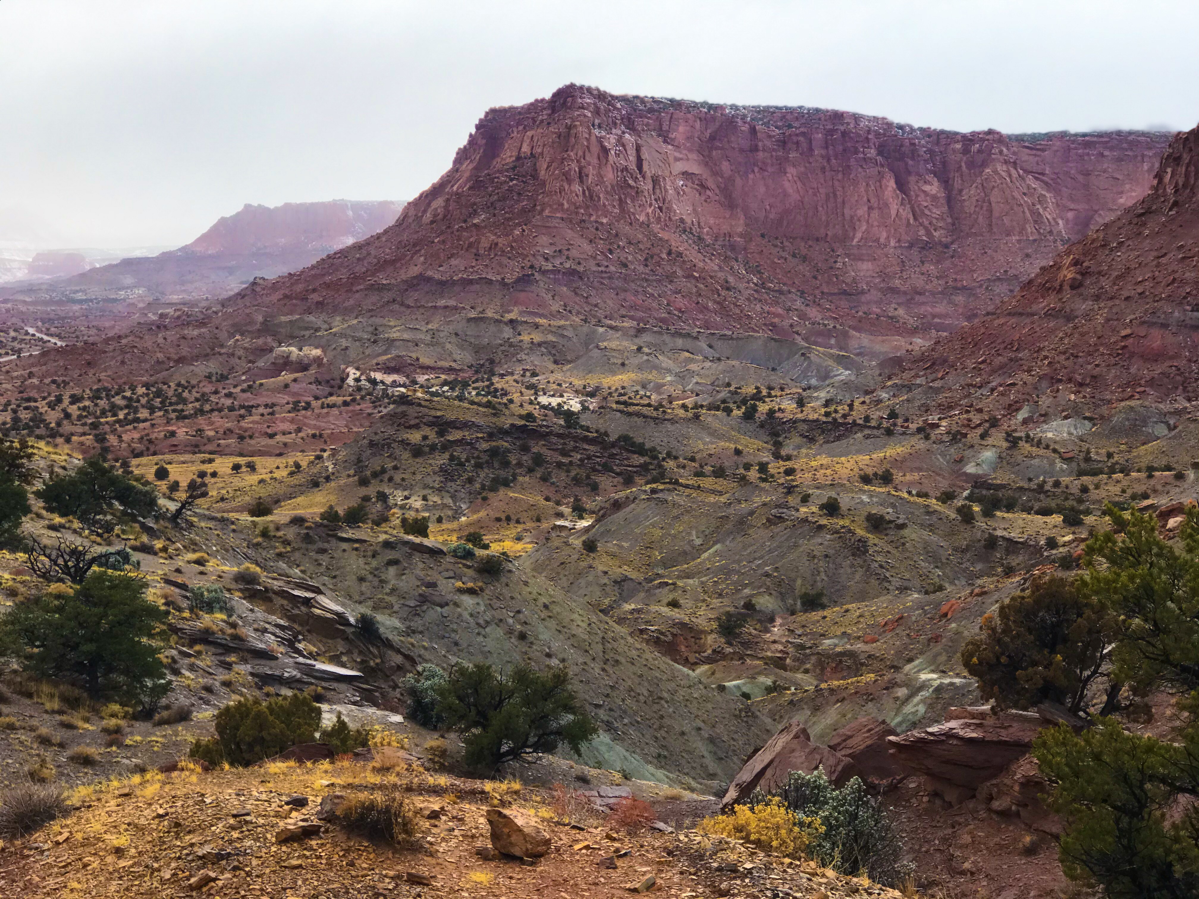
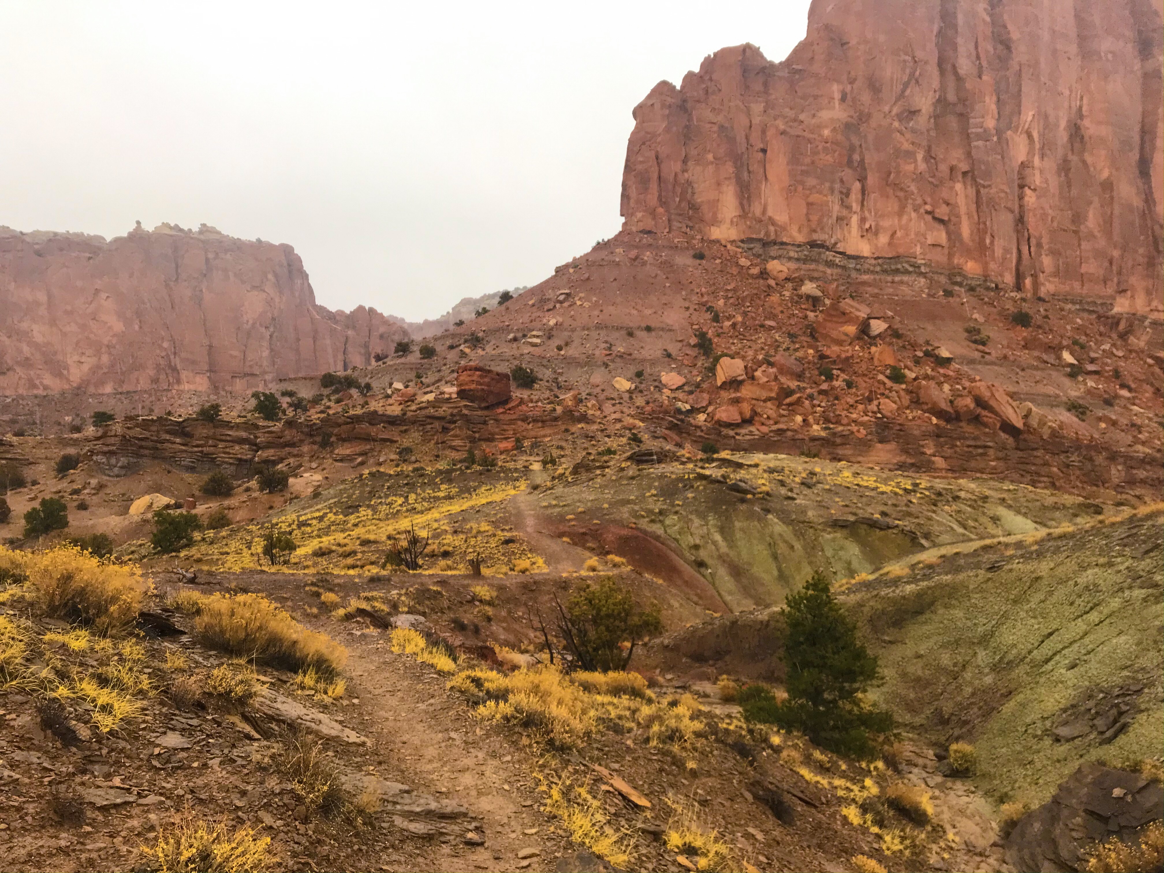
After an easy walk through the canyon, the path opened up – the sun came out suddenly after stormy and cold weather. It was glorious! We found an area off the regular path that clearly used to be a waterfall – it was at once incredible and scary because the area still flash floods. Had it been three days previous, we would’ve been literally swept away by the flash floods, and looking at the debris in the canyon reminded us that we were lucky to choose to travel when we did.
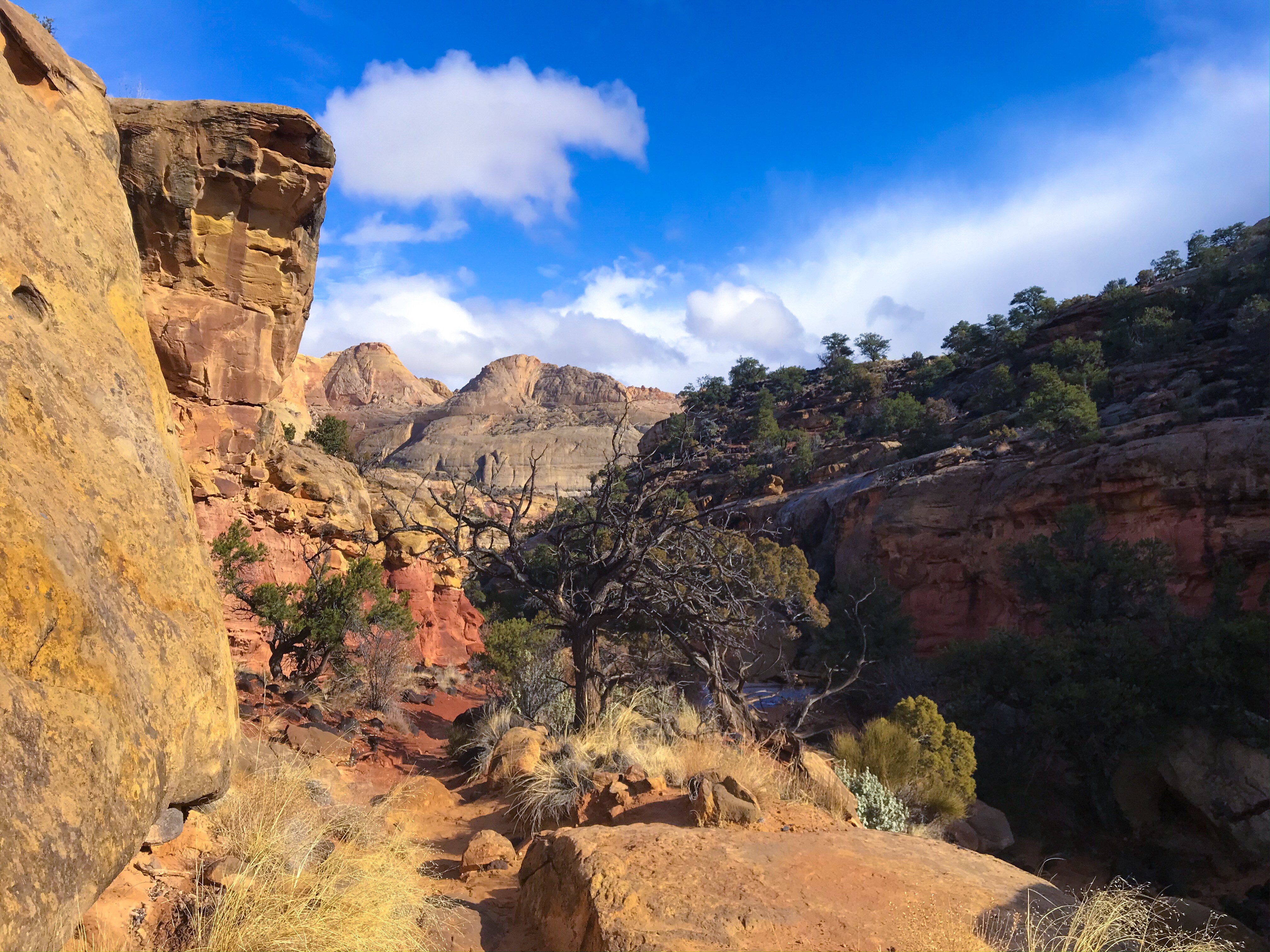
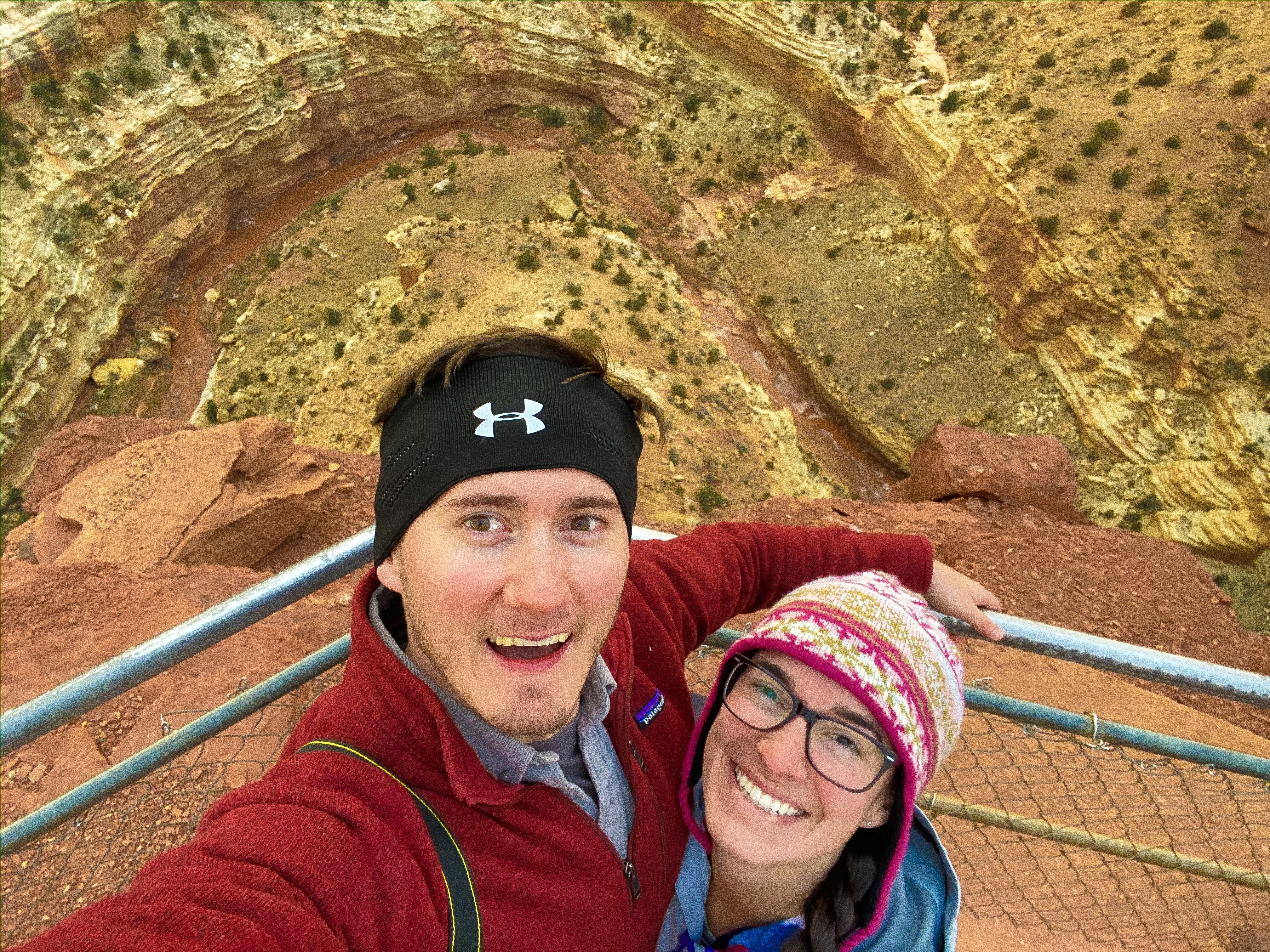
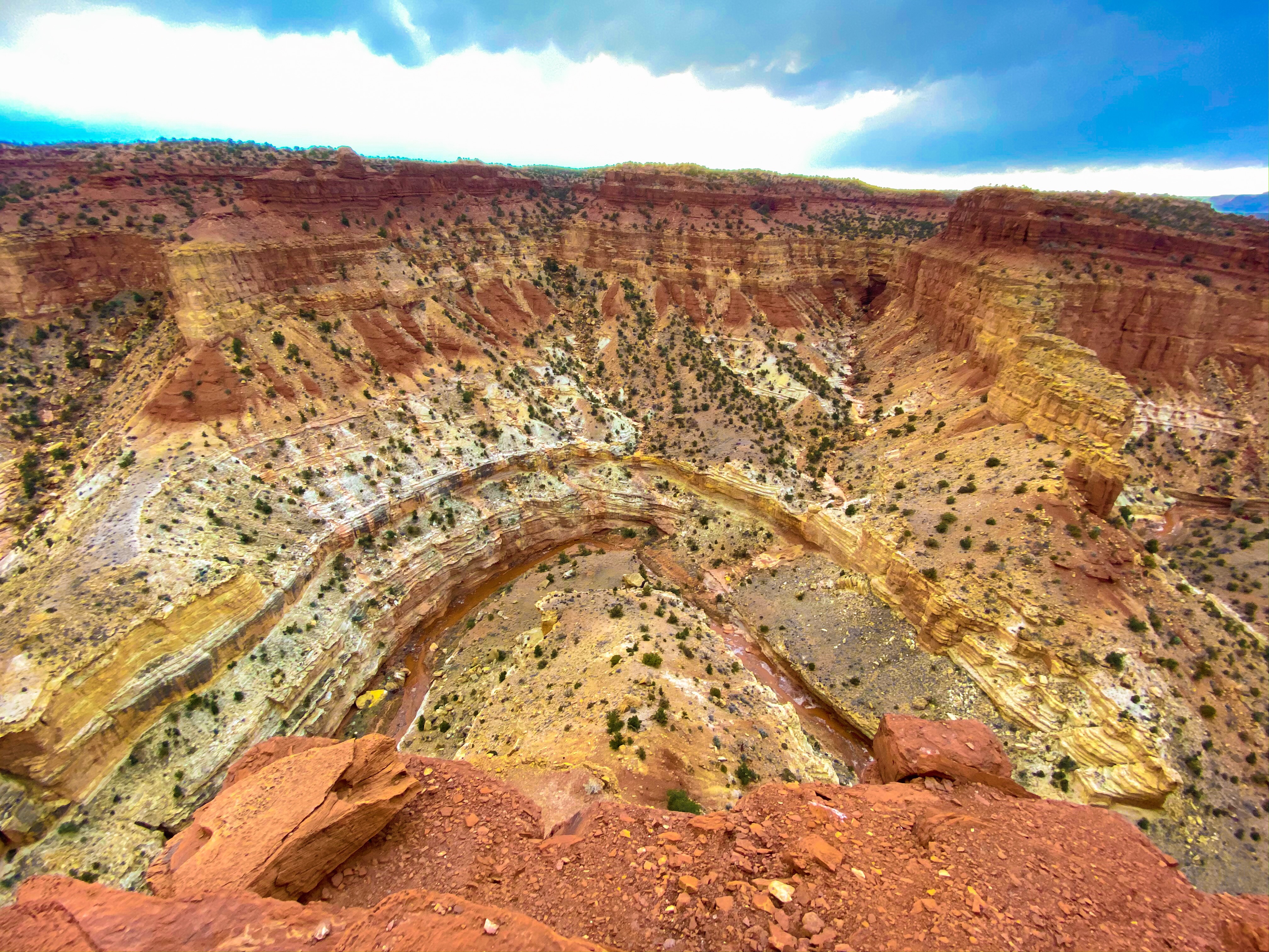
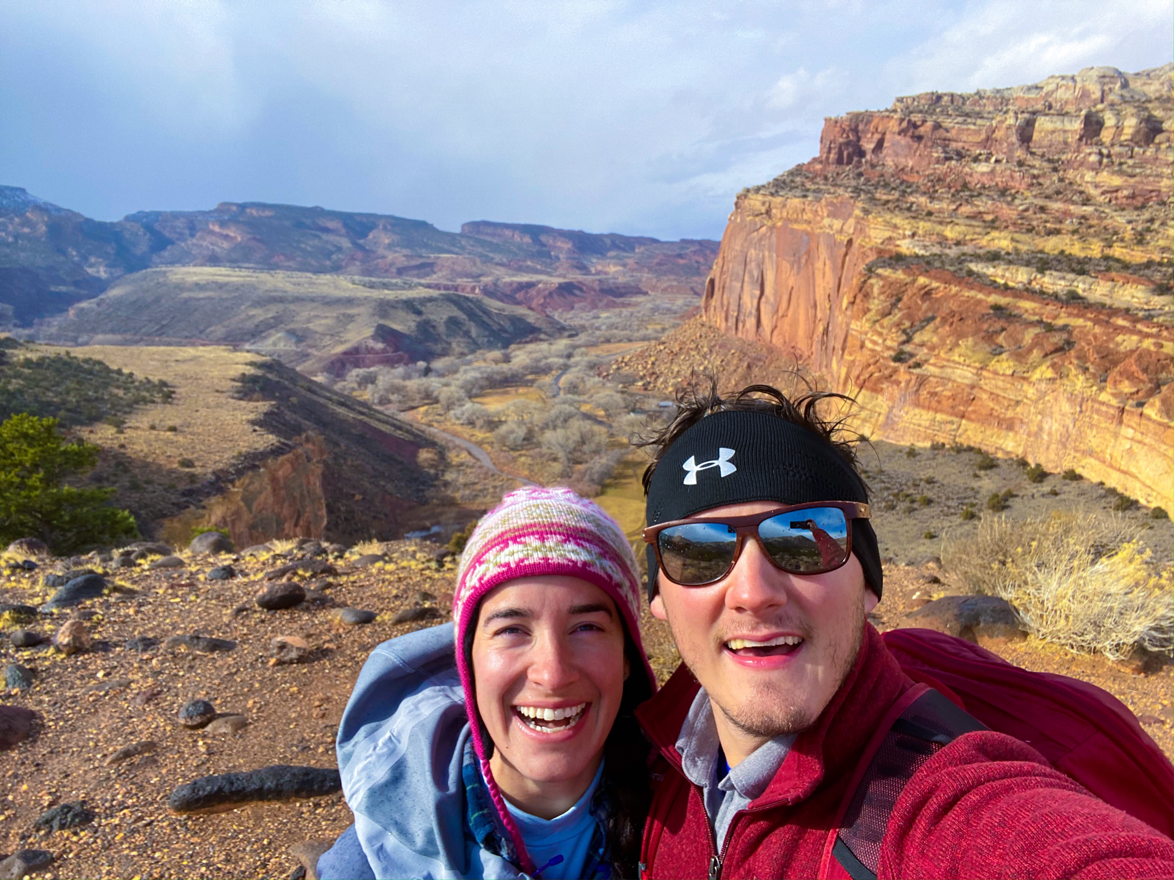
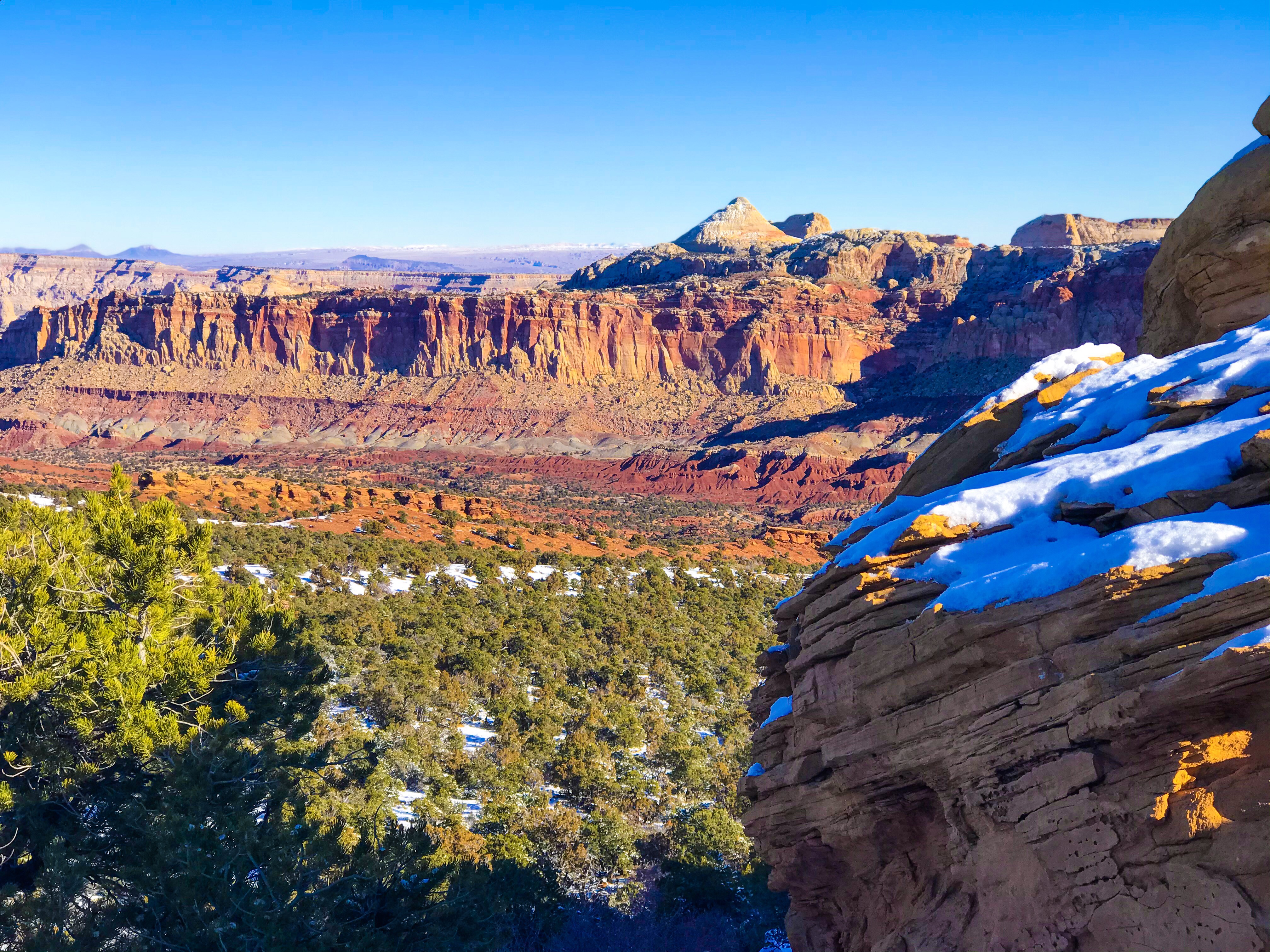
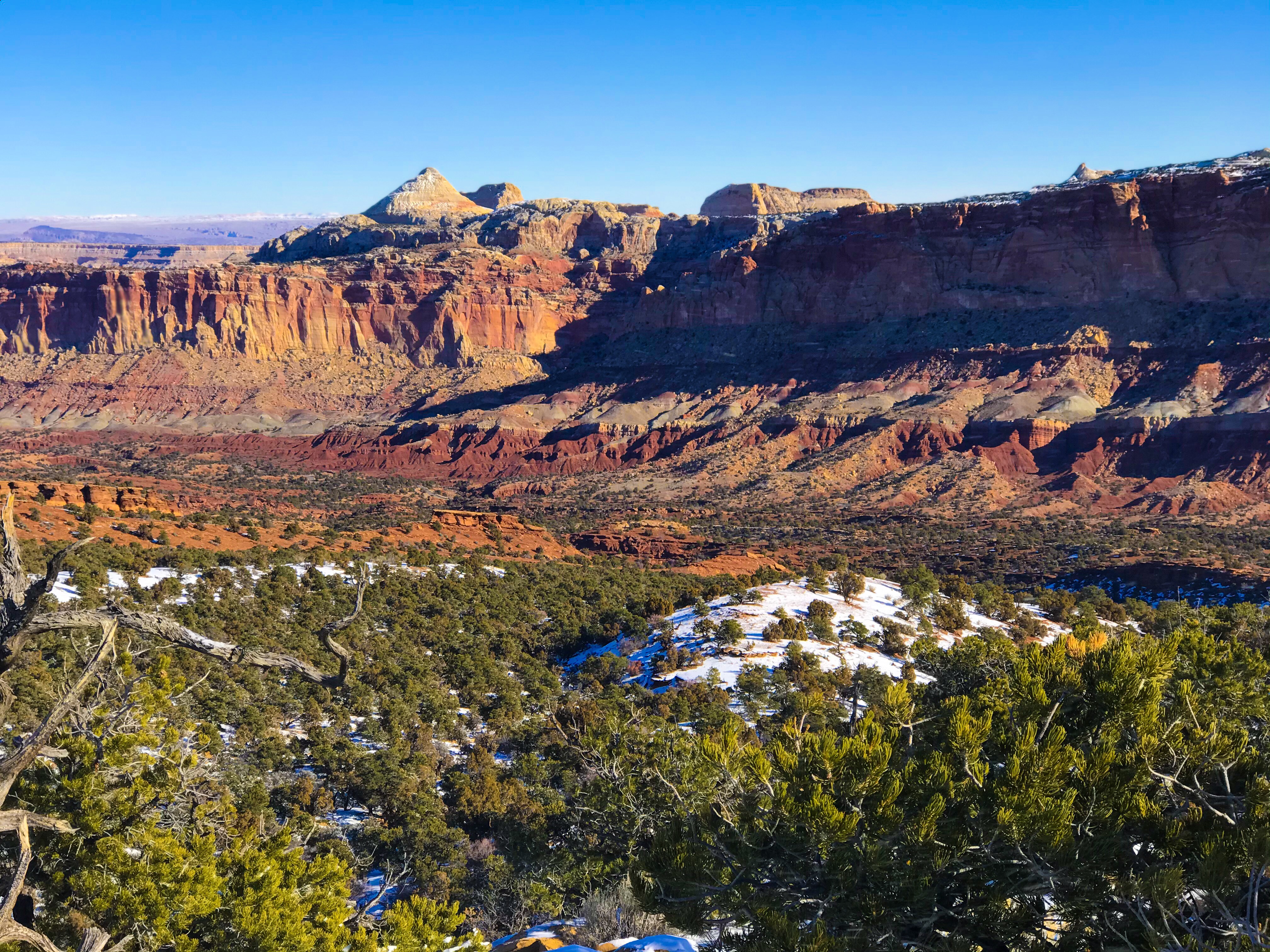
When we got to the top of Fruita’s Overlook, the 180 degree views were worth the hike (even if it was easy!).
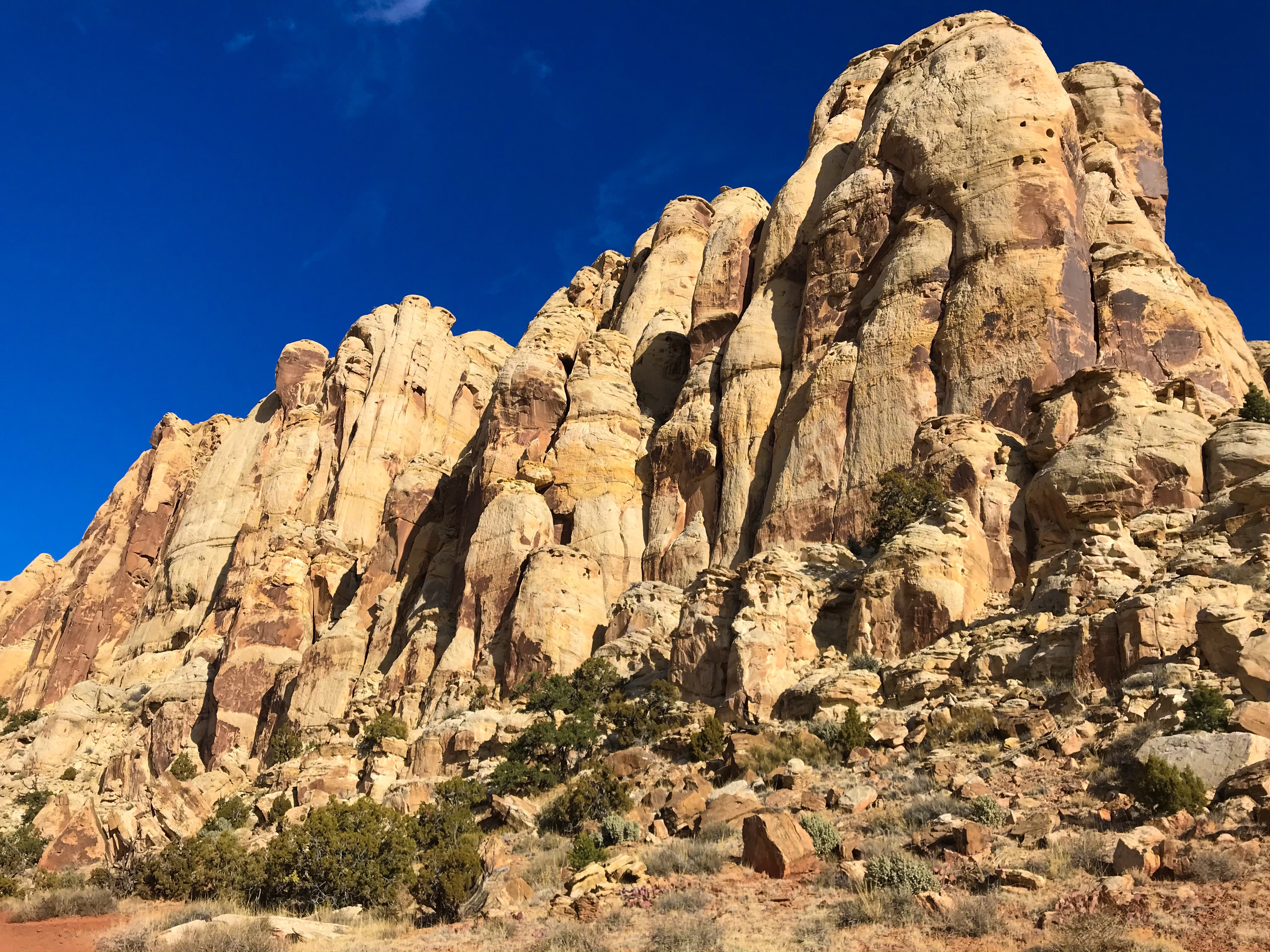
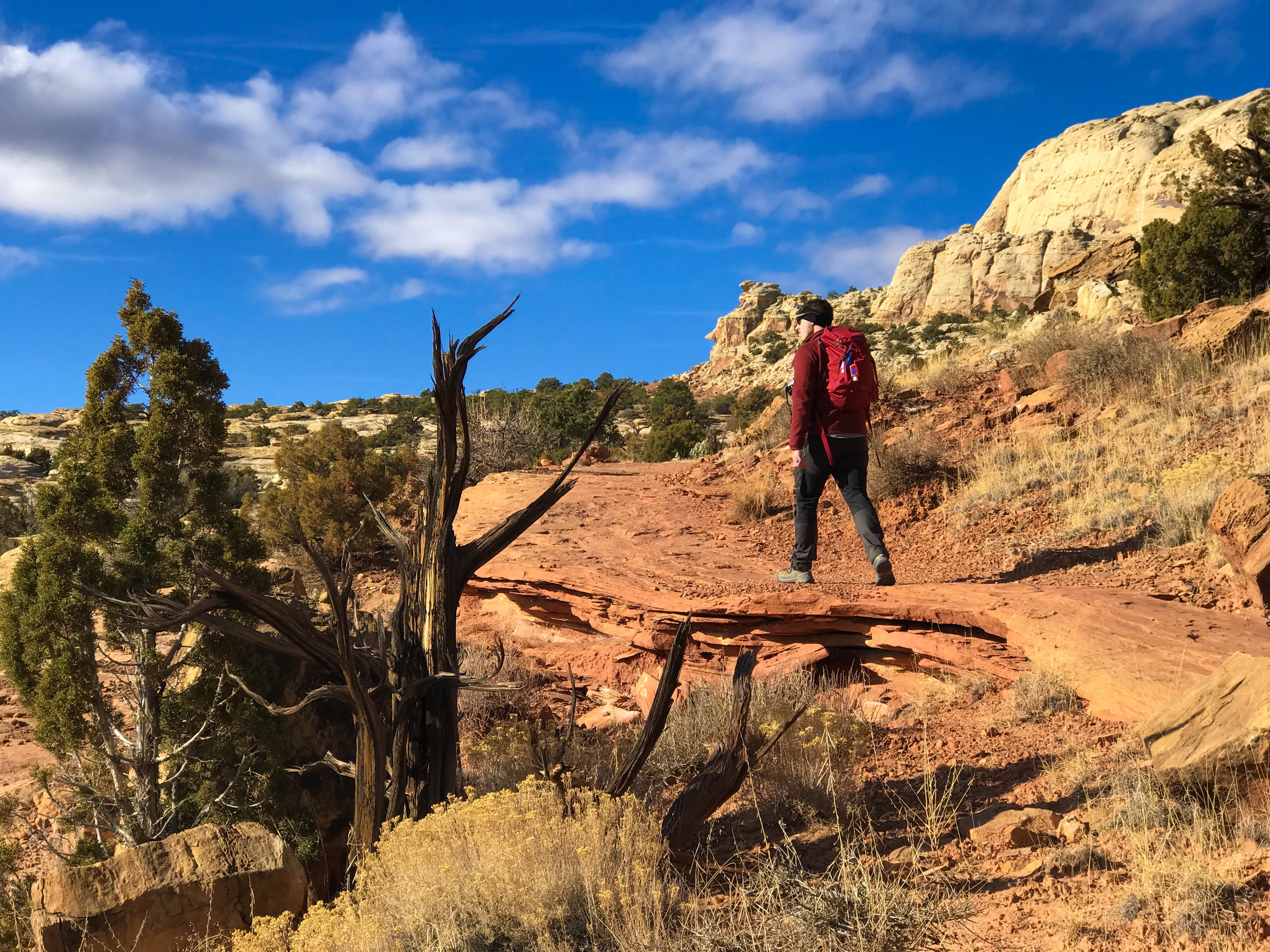
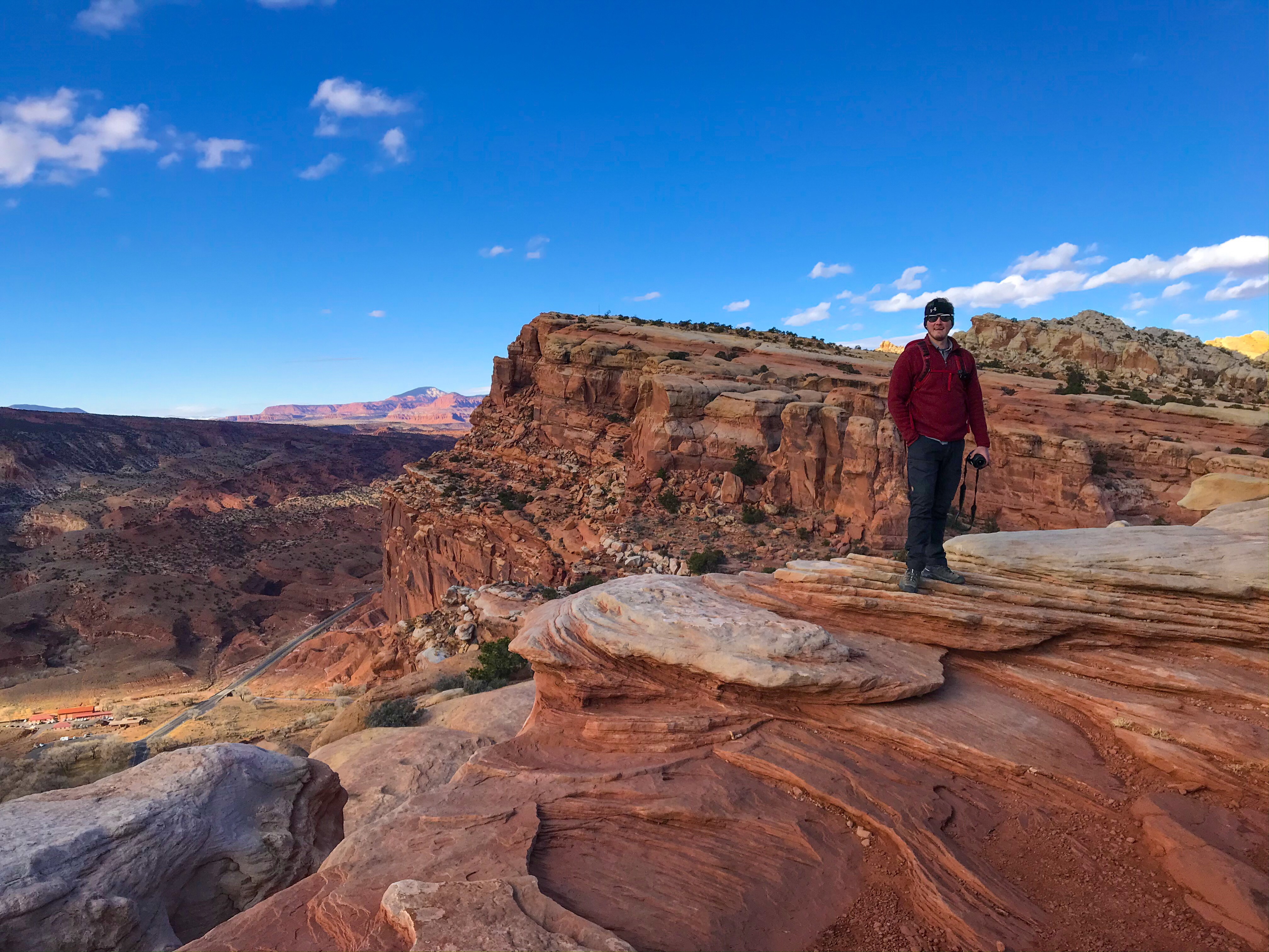
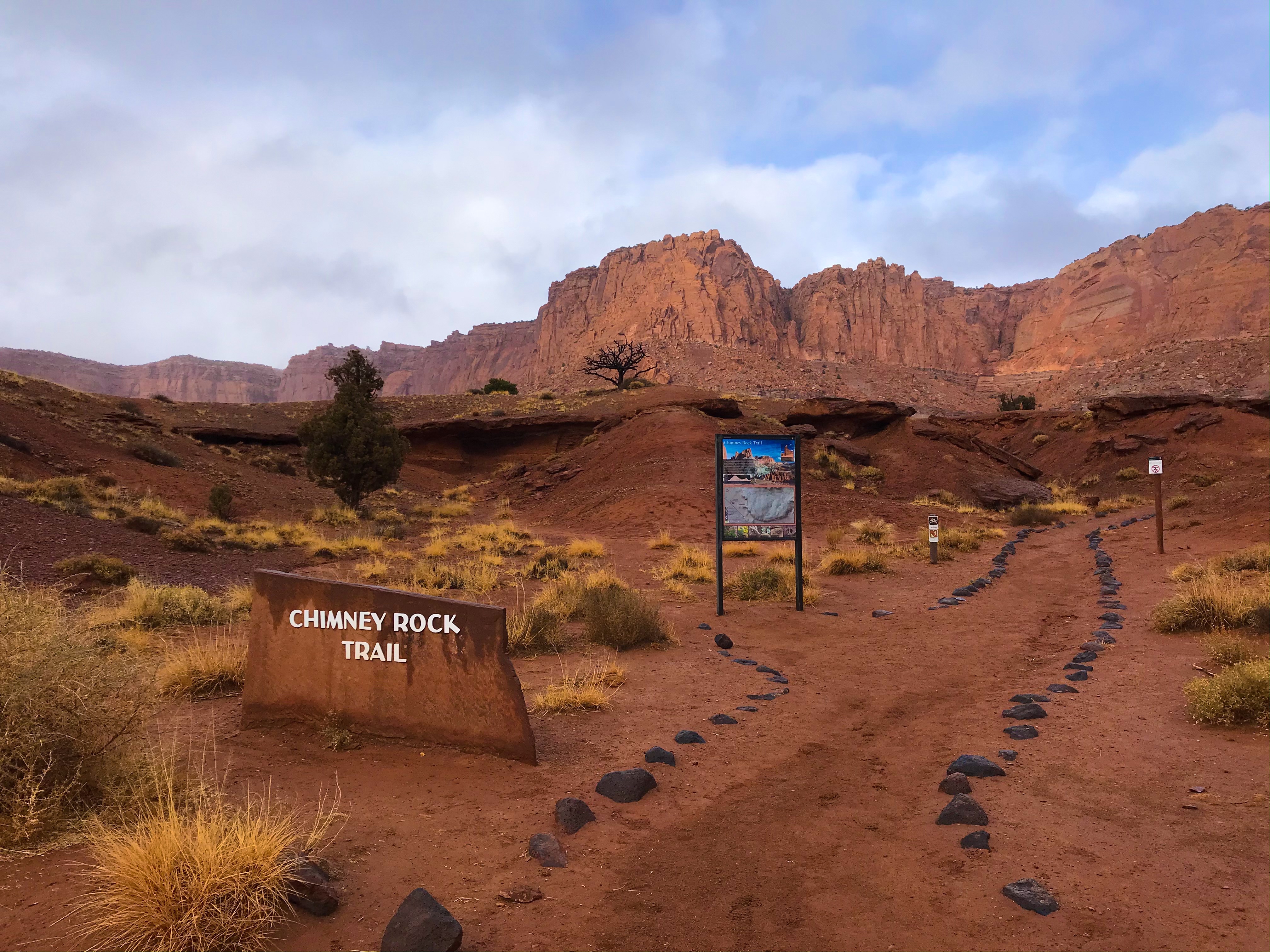
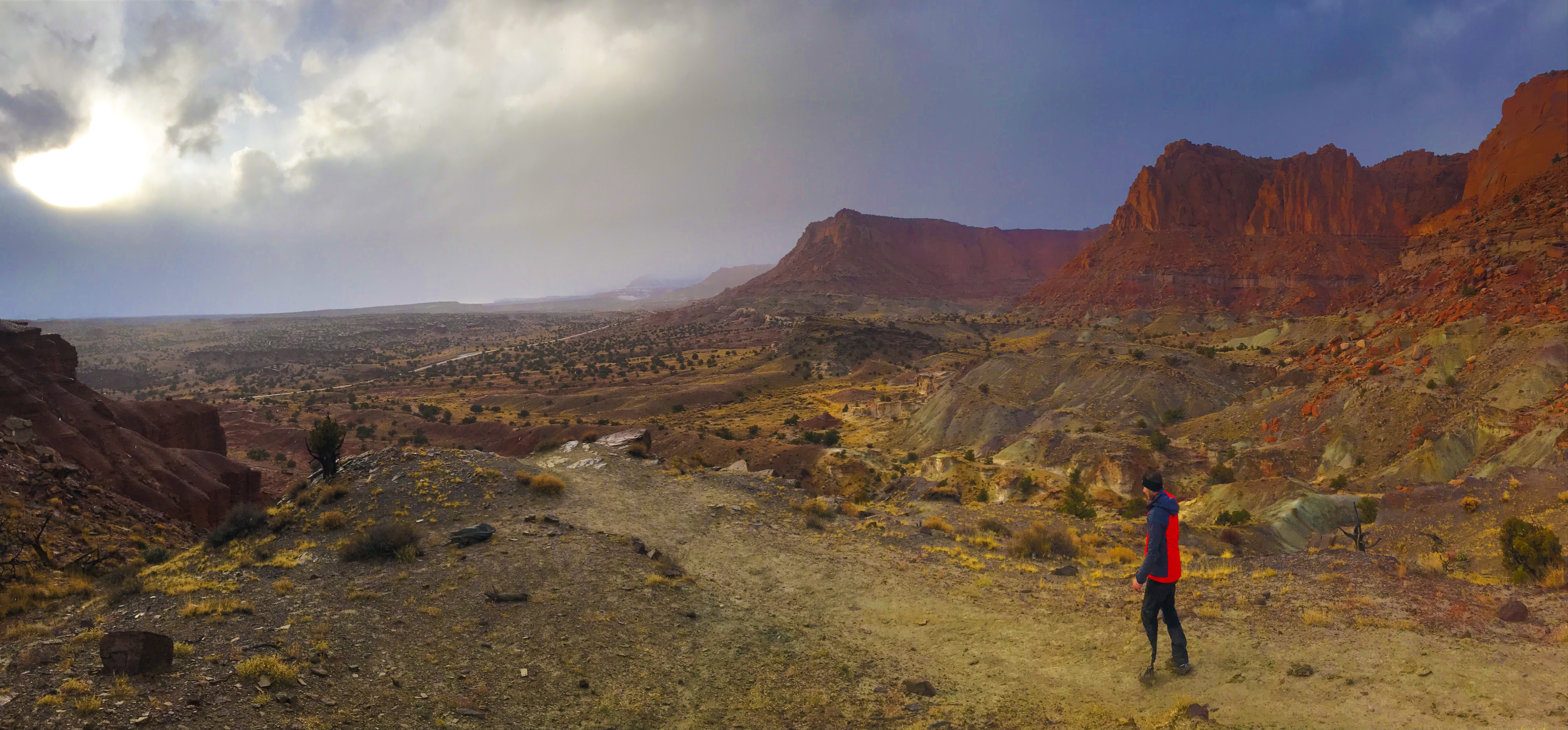
Chimney Rock Loop
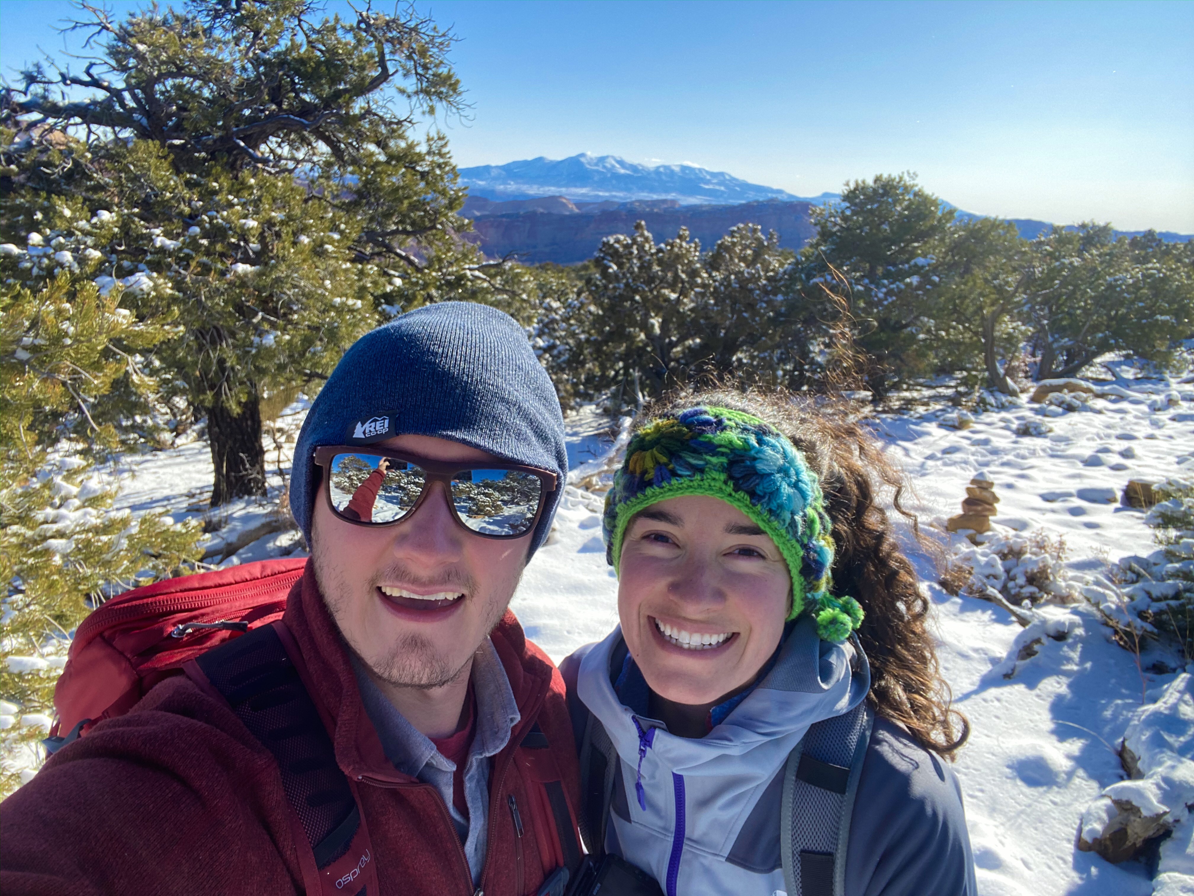
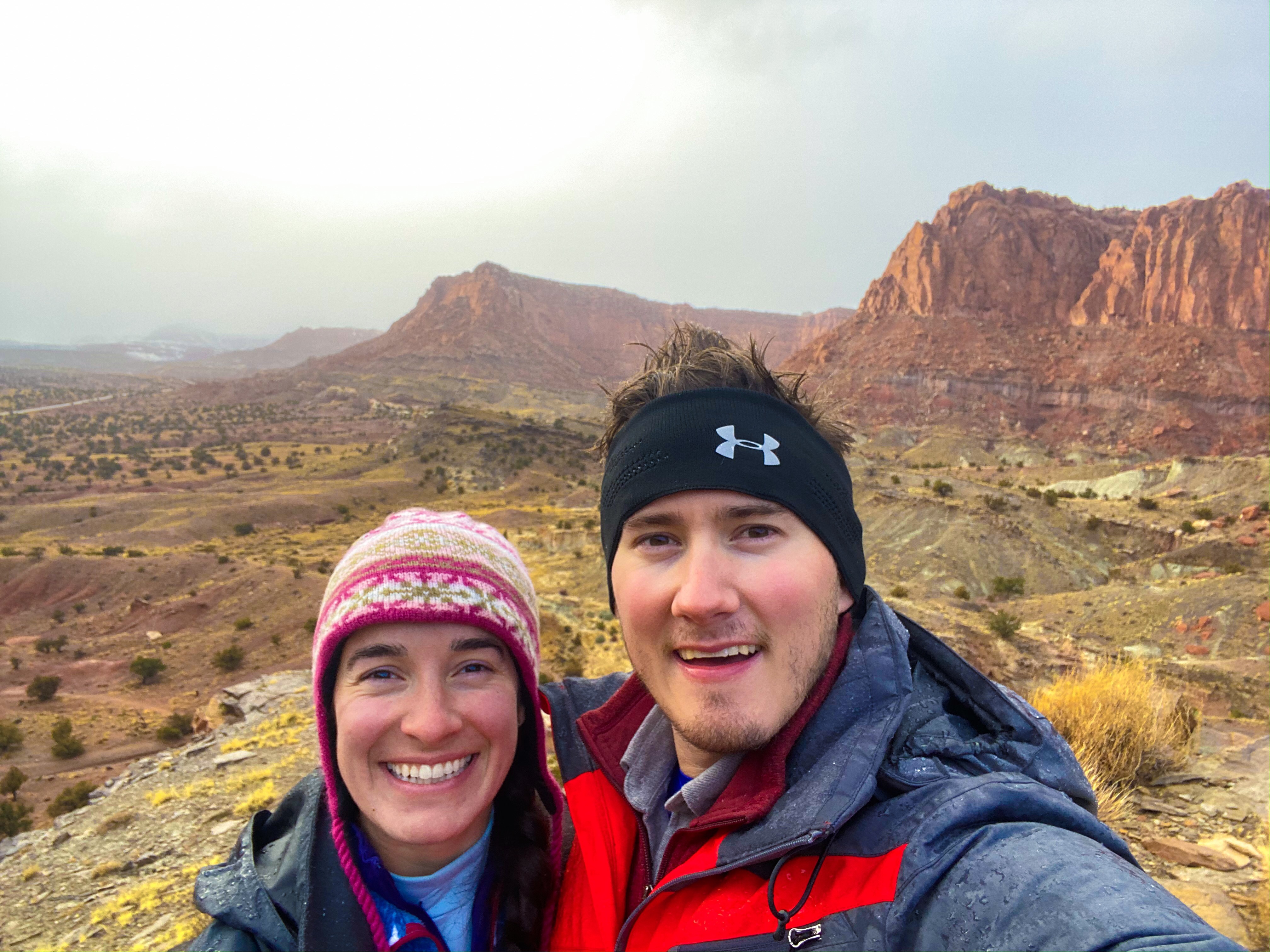
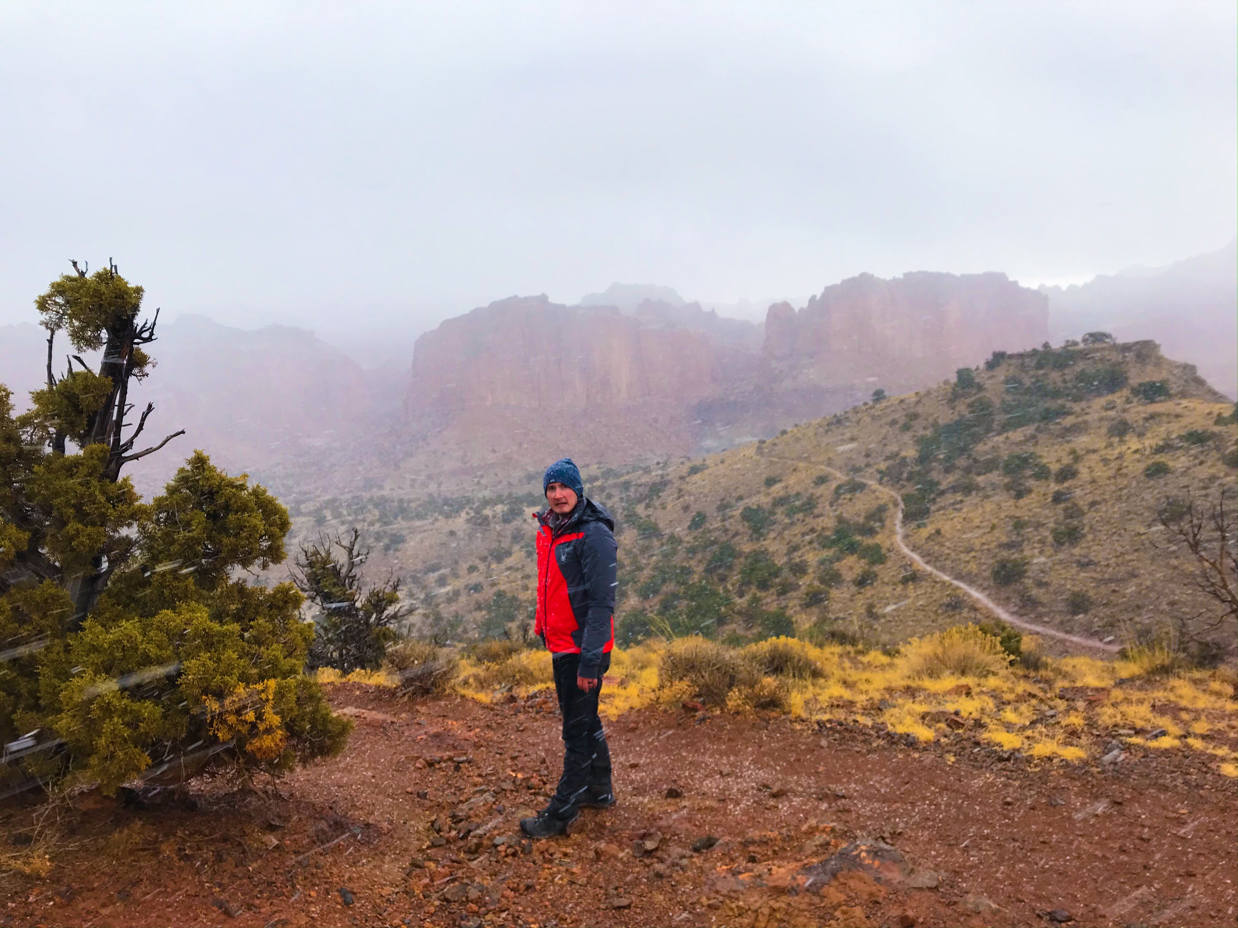
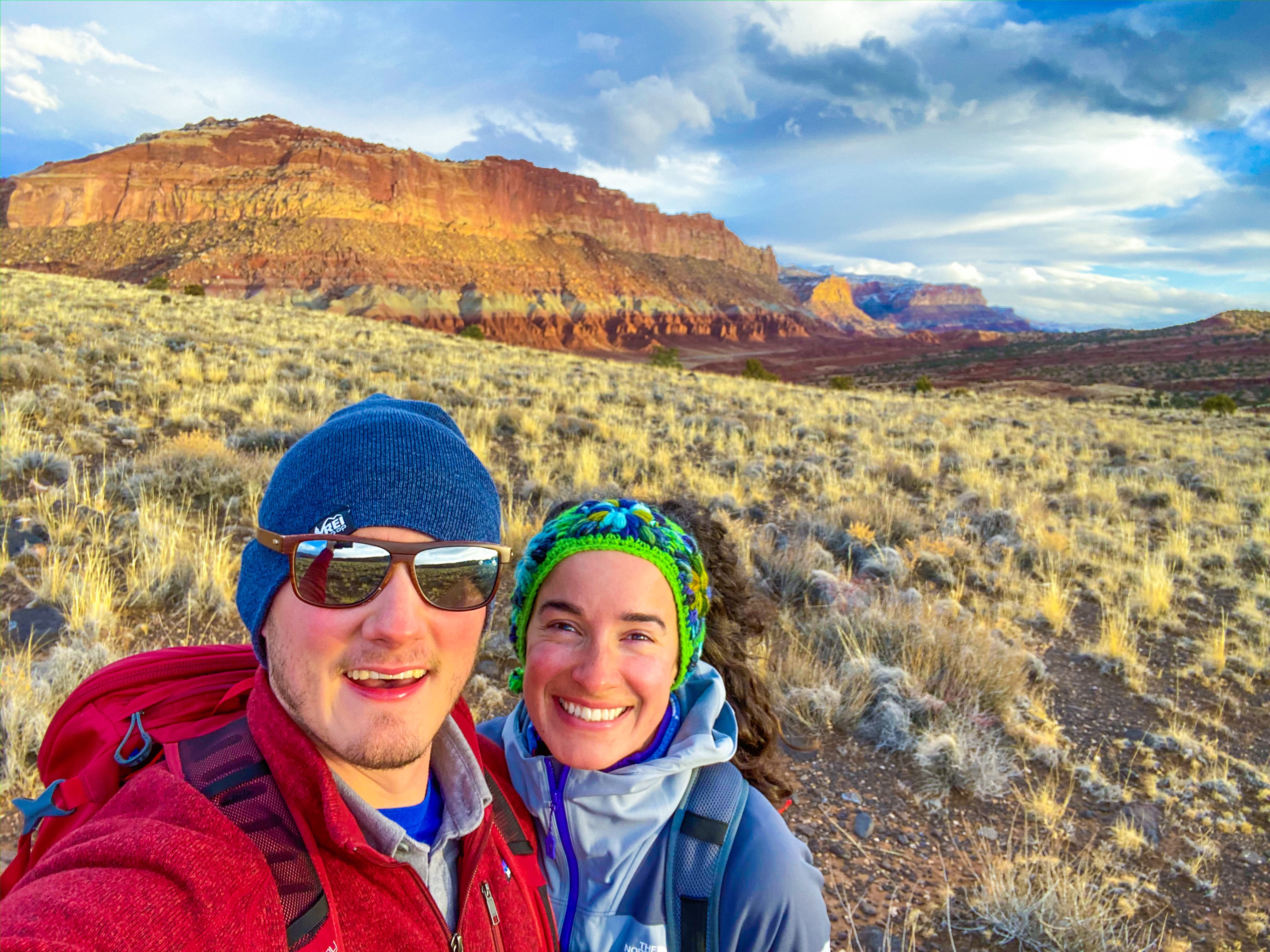
This was my favorite hike – maybe it was the romanticism of hiking 3.5 miles in sunshine, a blizzard, and freezing temperatures, or the fact that we hiked it on Thanksgiving, making it the most interesting and unique Turkey Day we’ve ever had. Regardless, it was a great hike with a very steep ascent and the views were unbelievable of Chimney Rock and the rest of the park.
About 3/4 of the way to the summit (with views of Chimney Rock), it started blizzarding. The locals had warned us about the impending blizzard, but coming from New England, it wasn’t anything new to us. Then again, we had never hiked in a snow storm – it made it that much more fun!
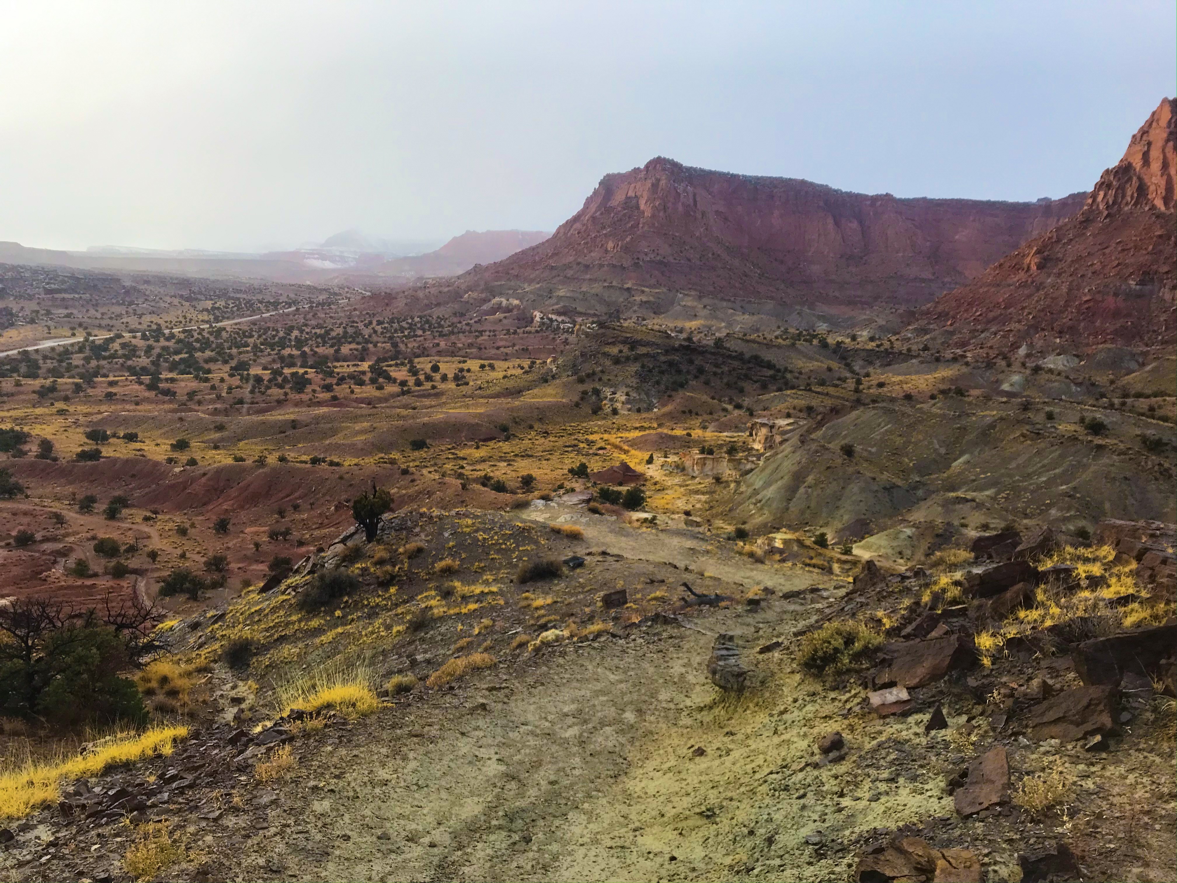
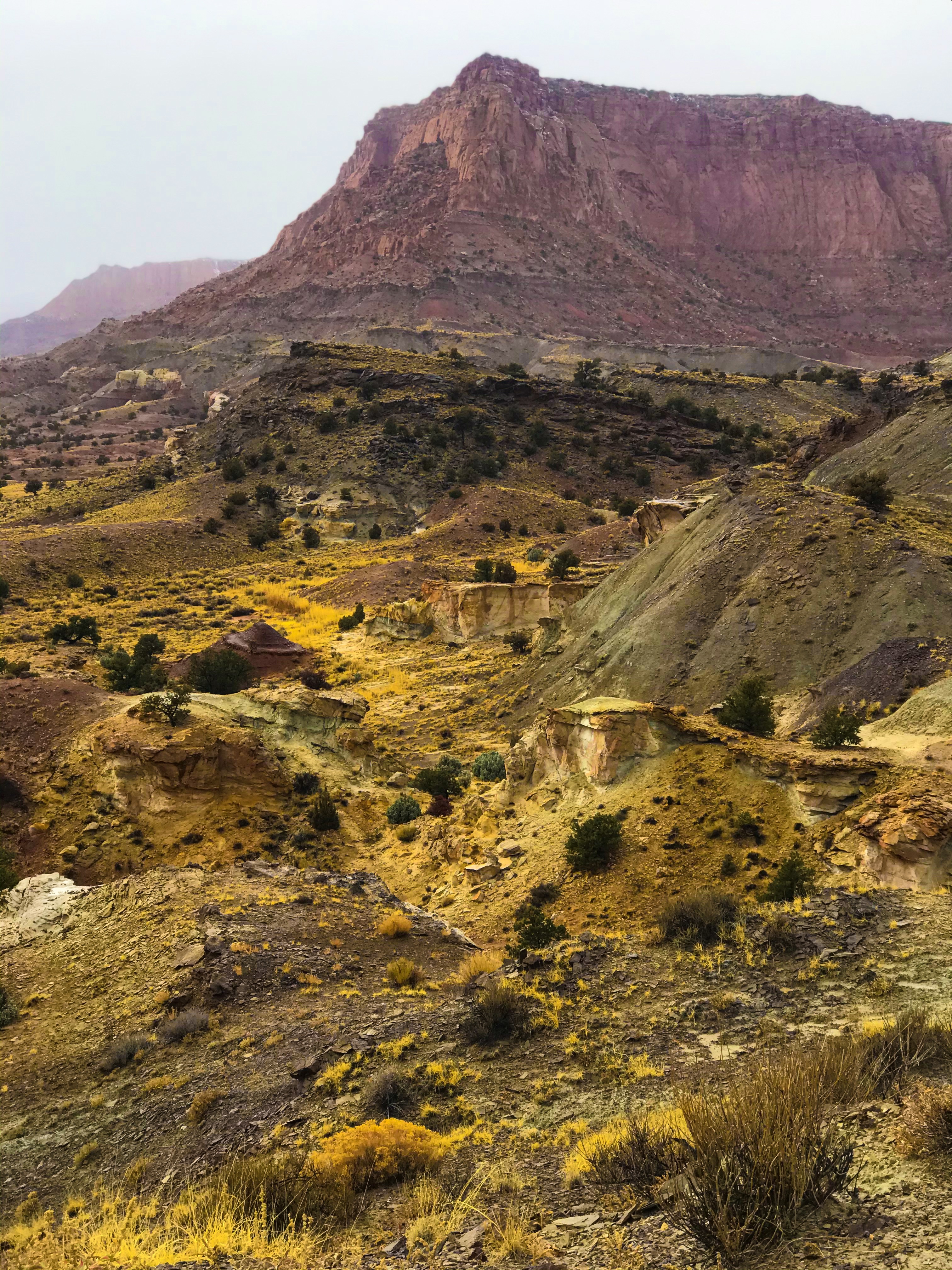
The view from the top overlooking Chimney Rock were obstructed but spectacular. It felt like you could jump and land right on the top of Chimney Rock.
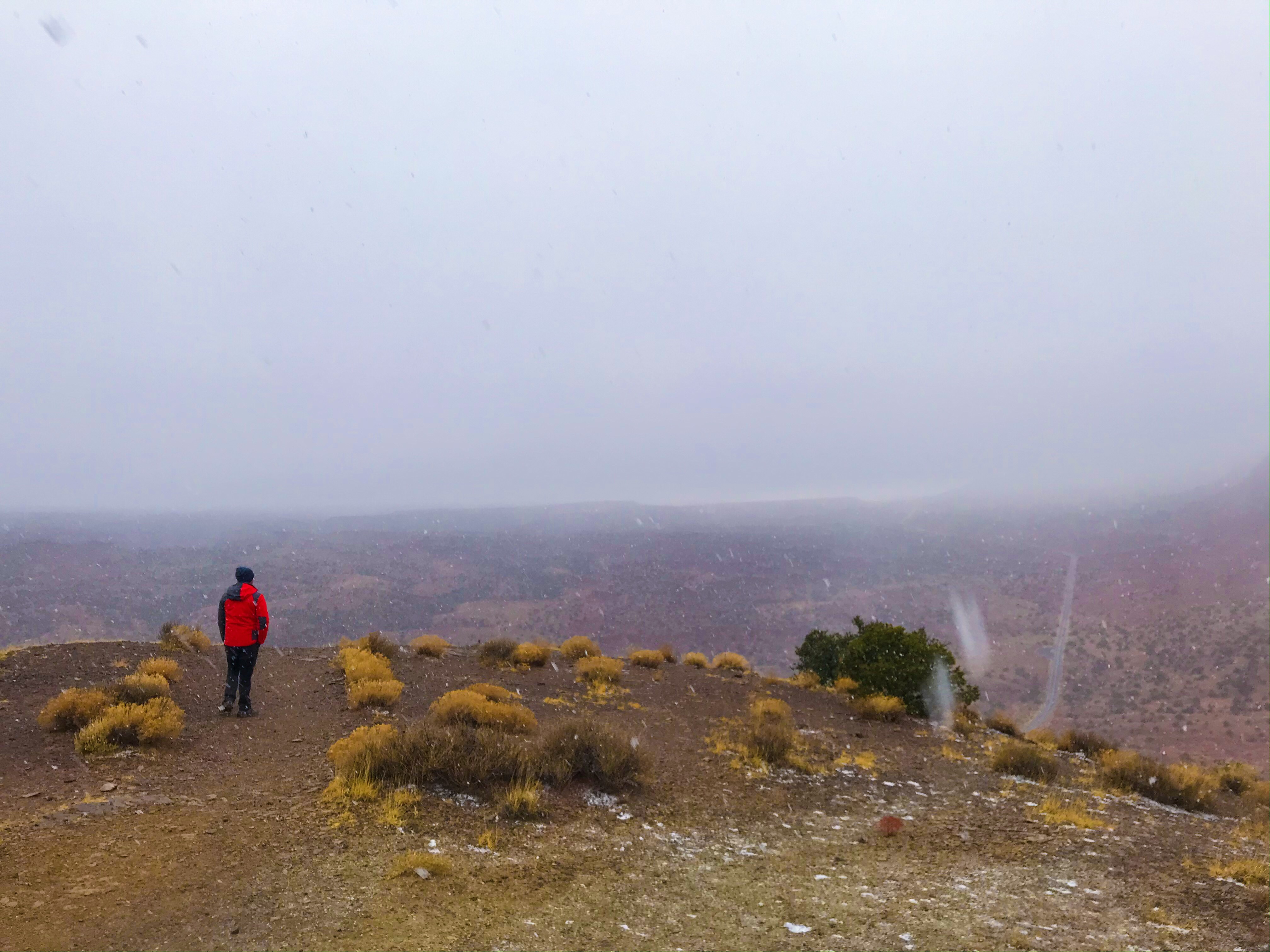
The next half hour or so, we slowly wound our way down the backside of the rock formation – this is where the views truly stood out. Maybe it was the time of year, the blizzard, or something else, but it was gorgeous even as snow froze to our eye lashes and the wind pushed us down the hill faster than we would’ve normally went.
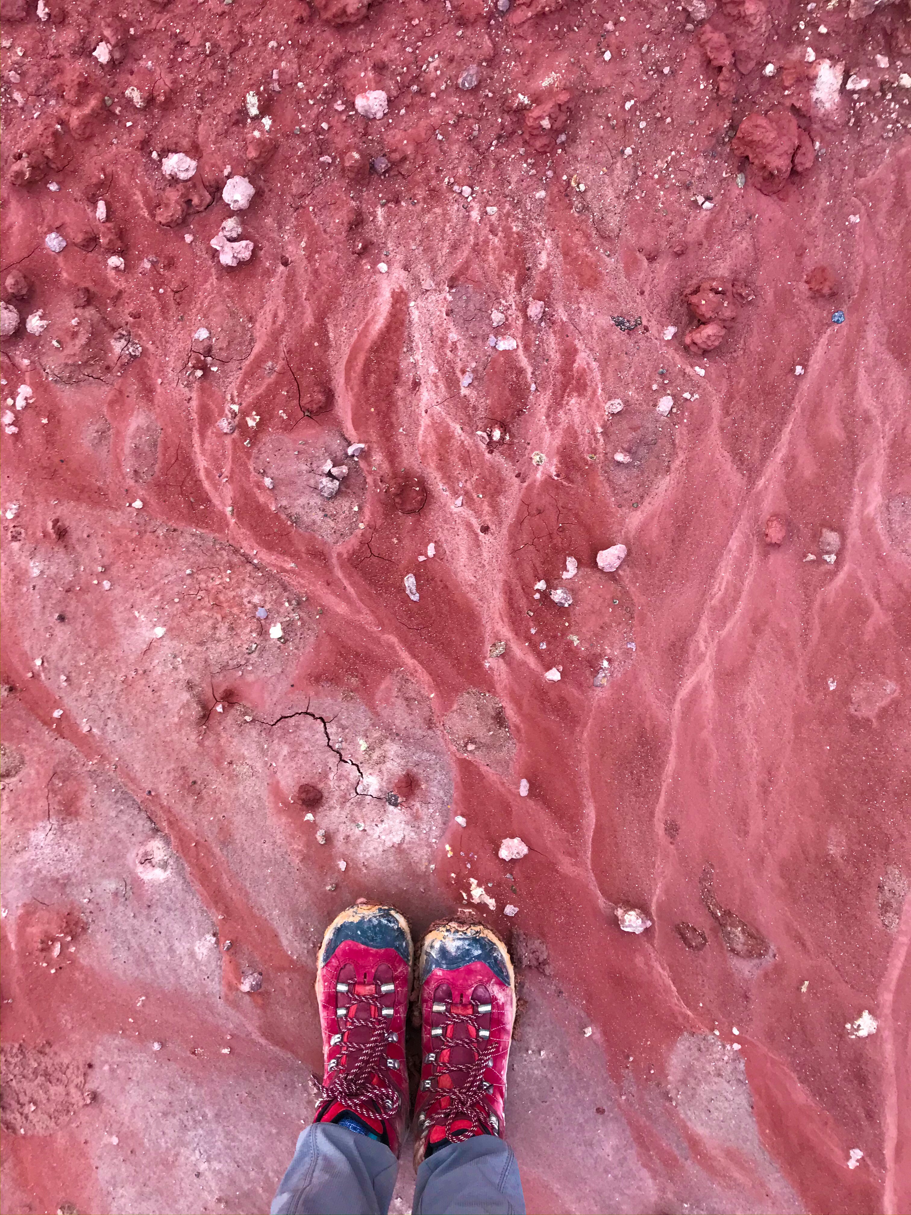
And then, out of nowhere, the weather changed. The snow stopped, the sun crept out from behind the blustering clouds, and we had to shed layers after being bundled up. The mud was SO sticky – I know that sounds weird, but it stuck to our boots so much that it felt like we were dragging lead weights around with us!
Day 3
Fremont Gorge Overlook
After Goblin Valley State Park, we wanted an easy hike to round out the day. Fremont Gorge was perfect for that with a short, steep ascent, and then a flat hike over the top of one of the rock formations. Even though we didn’t finish because dusk was hanging heavy over the park as the sun set in the sky, it was still a perfect way to end the day!
Day 4
Old Wagon Trail
Before we headed home (4 hour drive from Salt Lake City), we decided to squeeze in one more hike. Little did we know, this was going to be the most difficult hike we did the entire trip! Freezing cold temperatures made worse by the wind, a steep incline, and fresh ankle deep snow made this hike challenging.
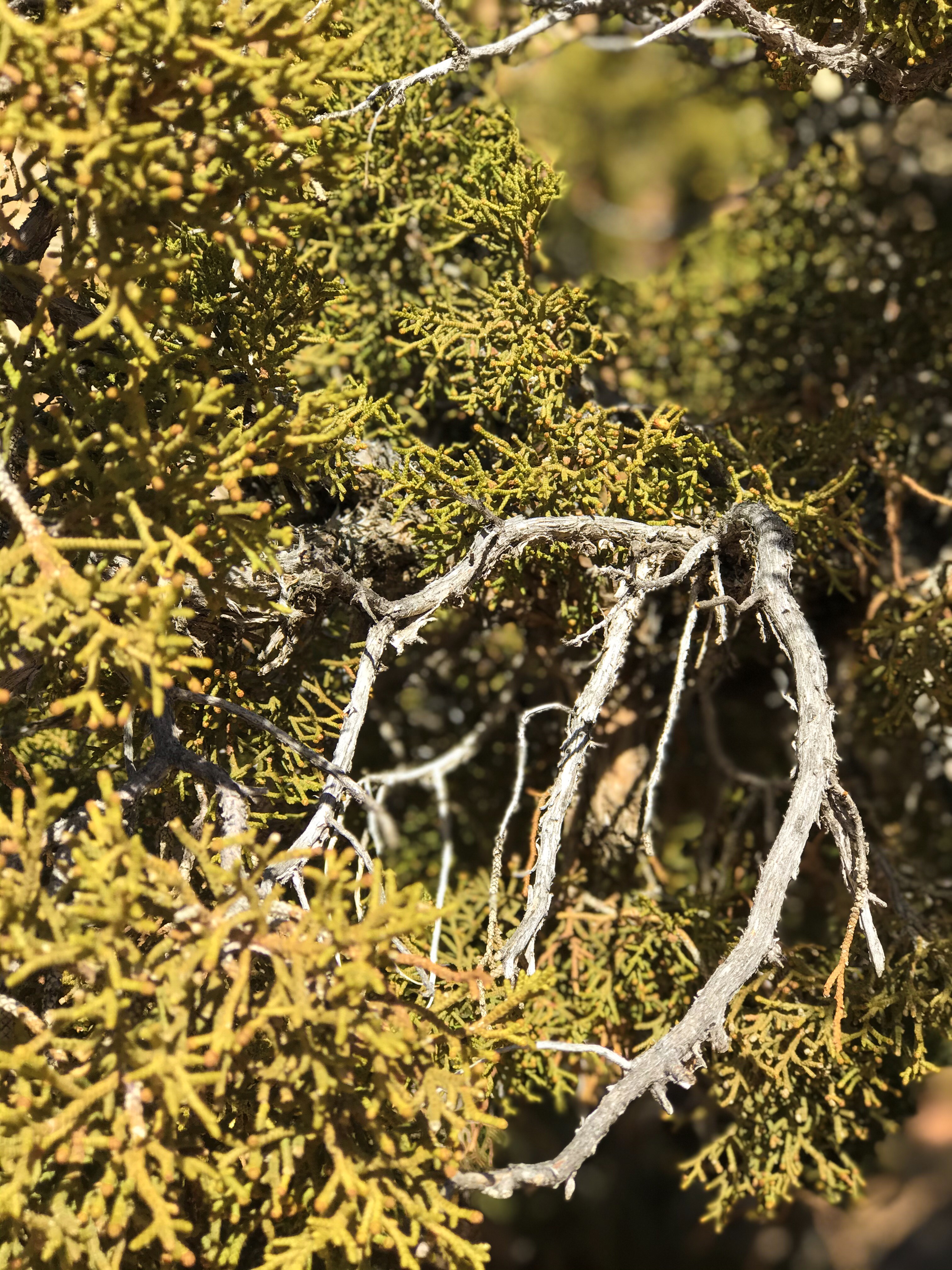
We had views of the Henry Mountains as we hiked alongside juniper forests and past steep cliffs, which made the effort worthwhile.